The best cycling routes in Cypress Provincial Park
4.8
(310)
4,267
riders
21
rides
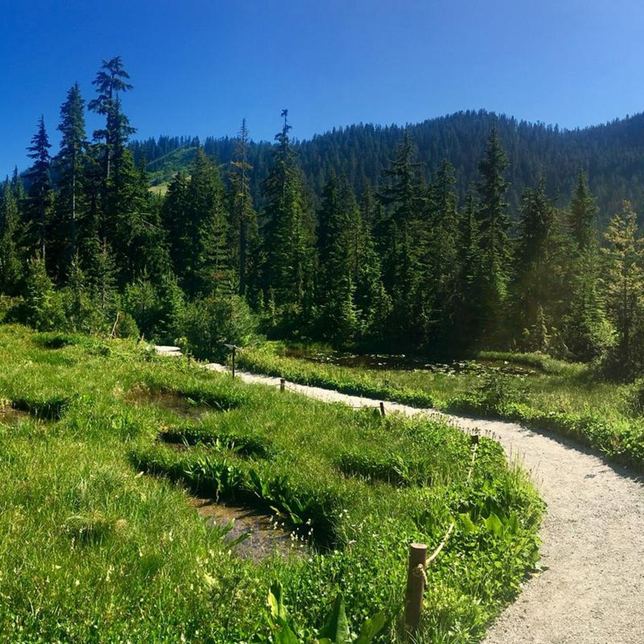
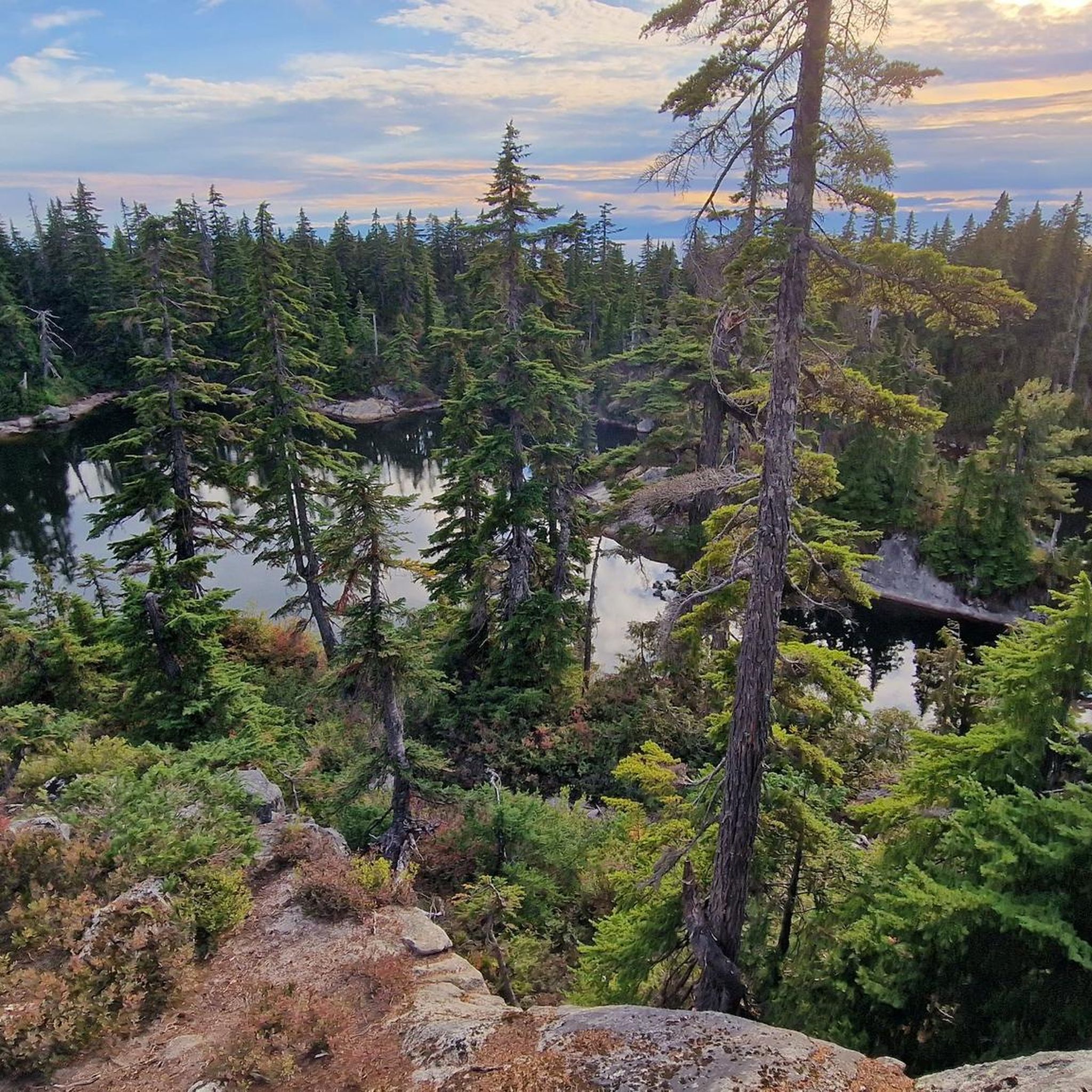
Touring cycling in Cypress Provincial Park offers routes through the North Shore Mountains, characterized by dense forests of fir, hemlock, and yellow cypress. The park features rugged summits, including Mount Strachan, Black Mountain, and Hollyburn Mountain, alongside tranquil alpine lakes such as Yew Lake. Paved roads provide continuous scenic views of the Lower Mainland, Howe Sound, and the Pacific Ocean, with routes varying in elevation gain.
Best touring cycling routes in Cypress Provincial Park
- The most popular touring cycling route is English Bay Beach – Lions Gate Bridge loop from West Vancouver, a 21.8 miles (35.1 km) trail that takes 2 hours 13 minutes to complete. This route offers views of Burrard Inlet and the Lions Gate Bridge.
- Another top favourite among local touring cyclists is Isetta Café-Bistro – Hollyburn Sailing Club Beach loop from Eagle Island, a moderate 19.5 miles (31.4 km) path. This route navigates coastal areas and residential sections of West Vancouver.
- Local touring cyclists also love the Hollyburn Sailing Club Beach loop from West Vancouver, a 10.8 miles (17.5 km) trail leading through coastal landscapes, often completed in about 1 hour 3 minutes.
- Touring cycling in Cypress Provincial Park is defined by mountain vistas, dense forests, and coastal paths. The network offers options for different ability levels.
- The routes in Cypress Provincial Park are highly rated by the komoot community with an average score of 4.8 stars from over 290 reviews. More than 4000 touring cyclists have used komoot to explore Cypress Provincial Park's varied terrain.
Last updated: August 2, 2026
4.6
(5)
90
riders
31.0km
01:59
350m
350m
Moderate bike ride. Good fitness required. Mostly paved surfaces. Suitable for all skill levels.
4.8
(233)
2,930
riders
34.7km
02:11
230m
230m
Moderate bike ride. Good fitness required. Mostly paved surfaces. Suitable for all skill levels.

Sign up for free
5.0
(9)
110
riders
18.2km
01:06
110m
110m
Easy bike ride. Great for any fitness level. Mostly paved surfaces. Suitable for all skill levels.
5.0
(1)
19
riders
17.6km
01:04
140m
140m
Easy bike ride. Great for any fitness level. Mostly paved surfaces. Suitable for all skill levels.
8
riders
Hard bike ride. Very good fitness required. Mostly paved surfaces. Suitable for all skill levels.
Get access to more routes and recommendations from other explorers.
Sign up for free
Already have an account?
Our route recommendations are based on thousands of hikes, rides, and runs completed by other people on komoot.
Start today with a free account
Your next adventure awaits.
Login or Signup
Tips from the Community

Brothers Creek is a mountain stream that flows through a steep, forested canyon on Vancouver’s North Shore before joining the Capilano River. Fed by rainfall and runoff from the slopes of Cypress Mountain, the creek runs through a rugged valley of dense coastal forest, creating beautiful waterfalls and rocky channels, with trails that run along its course in several areas. Its clear waters and surrounding old-growth forest provide important habitat for fish, wildlife, and native plants.
0
0
Capilano Pacific Trail is a beautiful forested route in North Vancouver that follows the Capilano River corridor through dense coastal woodland, combining shaded paths, suspension bridges, and sections of rolling terrain under towering cedar, fir, and hemlock trees. The trail passes through steep canyon scenery with constant views of the river and rushing water below. Due to landslides in the area, a section of the route remains permanently closed, requiring detours or alternate connections in some areas. Despite its urban location, the mix of river views, mature forest, and peaceful stretches makes it feel secluded, and it's a fantastic route to immerse yourself in the beautiful scenery close to the city.
0
0

Here, the Avison Trail crosses over Stanley Park Causeway via a sidewalk on Stanley Park Drive and gives one of the best viewpoints over Lions Gate Bridge. There is an informational sign on the sidewalk about the bridge, and the viewpoints look straight down the bridge from between the forests.
1
0

The Spirit Trail follows the coast of North Van, passing by the pond and sports courts here in Ambleside Park. The trail is divided into two lanes, one for hiking and slower cyclists and one for commuting cyclists.
0
0

Located right near the peaceful Roche Point Park, this club offers you a chance to enjoy nature while playing on a high-quality course. Even if you are not a golfer, the area around the club is perfect for a relaxing stroll, as the nearby park trails offer a calm space to listen to the birds and enjoy the local plants.
0
0
Ambleside Park is a stunning waterfront public space on the shores of Howe Sound across the water from downtown Vancouver. This path is open for walking, jogging, or biking along the park's wide seaside boardwalk, which connects to the Centennial Seawalk. Looking south, freighters and sailboats dot the waters under the Vancouver skyline. The beach is a mix of sand and pebbles, popular for sunbathing, beachcombing, and swimming. Even dogs can enjoy the park in the designated off-leash zone. The park also has golfing, baseball, and pickleball fields, plenty of activities for everyone.
1
0

A really beautiful place to walk.
3
0
A very nice place to walk.
2
0
Frequently Asked Questions
How many touring cycling routes are available in Cypress Provincial Park?
Cypress Provincial Park offers a diverse selection of over 25 touring cycling routes. These routes cater to various skill levels, ranging from easy coastal rides to more challenging ascents into the mountains.
What are the difficulty levels of touring cycling routes in Cypress Provincial Park?
The touring cycling routes in Cypress Provincial Park vary in difficulty. You'll find 5 easy routes, 15 moderate routes, and 6 difficult routes. This range ensures options for beginners looking for a relaxed ride as well as experienced cyclists seeking a challenge with significant elevation gain.
What kind of views can I expect while touring cycling in Cypress Provincial Park?
Touring cycling in Cypress Provincial Park offers breathtaking panoramic views. You can expect expansive scenes of the Lower Mainland, Howe Sound, Bowen Island, and even Vancouver Island on clear days. Key viewpoints like Barrett's View Lookout and Eagle Bluffs provide spectacular vistas of the ocean, islands, and the Vancouver skyline. Routes often combine dense forests with coastal paths, offering a dynamic visual experience.
Are there any specific landmarks or attractions to look out for on a touring cycling trip?
Yes, several notable landmarks and natural attractions can be explored. You might encounter the Bowen Lookout with its sweeping views over Howe Sound, the tranquil Yew Lake, or the historic Olympic Rings from the 2010 Winter Games. The park also features old-growth forests and unique Alpine Flora.
Can I find circular touring cycling routes in the park?
Yes, many touring cycling routes in and around Cypress Provincial Park are designed as loops, allowing you to start and end at the same point. An example is the Hollyburn Sailing Club Beach – Isetta Café-Bistro loop from Cypress Park, which offers a moderate ride through coastal and residential areas.
What is the best time of year for touring cycling in Cypress Provincial Park?
The best time for touring cycling in Cypress Provincial Park is generally during the warmer months, from late spring through early autumn. During this period, the weather is more stable, and the park's natural features, including alpine lakes and meadows, are at their most vibrant. Always check local weather conditions before heading out.
Is there parking available for cyclists in Cypress Provincial Park?
Yes, parking is available within Cypress Provincial Park, particularly at the base and various points along Cypress Bowl Road. These areas serve as convenient starting points for many cycling routes. It's advisable to arrive early during peak season to secure a spot.
How can I reach Cypress Provincial Park by public transport with my bike?
While direct public transport to the higher elevations of Cypress Provincial Park with a bike can be limited, you can take public transit to West Vancouver. From there, you can cycle up Cypress Bowl Road, which is a paved route offering continuous scenic views and access to the park's cycling opportunities. Check TransLink's website for specific bus routes and bike policies.
Are there any family-friendly touring cycling routes in Cypress Provincial Park?
For families, easy routes with less elevation gain are ideal. Consider options like the Hollyburn Sailing Club Beach loop from West Vancouver or the Ambleside Park – Isetta Café-Bistro loop from West Vancouver. These routes offer pleasant rides through coastal landscapes and parks, suitable for various fitness levels.
Where can I find refreshments or places to eat near the cycling routes?
While Cypress Provincial Park itself has limited facilities, the nearby areas of West Vancouver, such as Dundarave and Ambleside, offer various cafes and bistros. Routes like the Isetta Café-Bistro – Dundarave Pier and Beach loop from West Vancouver are designed to pass by such establishments, providing convenient stops for refreshments.
What do other cyclists say about touring cycling in Cypress Provincial Park?
The touring cycling routes in Cypress Provincial Park are highly rated by the komoot community, with an average score of 4.8 stars from over 280 reviews. Cyclists often praise the stunning mountain vistas, dense forests, and the rewarding coastal paths that offer a unique blend of natural beauty and challenging terrain.
Are there any longer touring cycling routes for experienced riders?
Experienced riders looking for longer distances can combine routes or tackle those with significant elevation. The English Bay Beach – Lions Gate Bridge loop from West Vancouver is a popular moderate route spanning over 35 km, offering extensive views of Burrard Inlet and the iconic Lions Gate Bridge.
What kind of terrain will I encounter on touring cycling routes?
The terrain for touring cycling in Cypress Provincial Park primarily consists of well-paved roads. These roads offer continuous scenic views and vary from gentle coastal stretches to significant climbs up into the North Shore Mountains, providing a mix of flat sections and challenging ascents.
Most popular routes in Cypress Provincial Park
Most popular attractions in Cypress Provincial Park

Get inspired with the komoot mobile app


Explore more
Browse the best Cycling routes in other regions.
