The best road cycling routes in Coquitlam Watershed
4.6
(21)
760
riders
17
rides
Road cycling in Coquitlam Watershed offers a diverse landscape for cyclists, characterized by the region's topography of mountains, rivers, and temperate rainforests. The area features an extensive network of over 100 km of signed bike lanes and multi-use pathways, connecting urban centers with natural environments. Cyclists can expect varied terrain, from flatter sections along river valleys to routes with significant elevation gains in areas bordering the Pacific Ranges of the Canadian Coast Mountains. This region provides a range of road…
Last updated: October 8, 2026
55
riders
67.2km
03:22
750m
750m
Moderate road ride. Good fitness required. Mostly well-paved surfaces and easy to ride.
5.0
(1)
36
riders
138km
06:38
1,550m
1,550m
Hard road ride. Very good fitness required. Some segments of this route may be unpaved and difficult to ride.

12
riders
44.2km
01:57
370m
370m
Moderate road ride. Good fitness required. Mostly well-paved surfaces and easy to ride.
5.0
(2)
76
riders
28.7km
01:43
570m
570m
Moderate road ride. Good fitness required. Some segments of this route may be unpaved and difficult to ride.
4.9
(8)
118
riders
Moderate road ride. Great for any fitness level. Some segments of this route may be unpaved and difficult to ride.
Get access to more routes and recommendations from other explorers.
Already have an account?
Our route recommendations are based on thousands of hikes, rides, and runs completed by other people on komoot.
Start today with a free account
Your next adventure awaits.
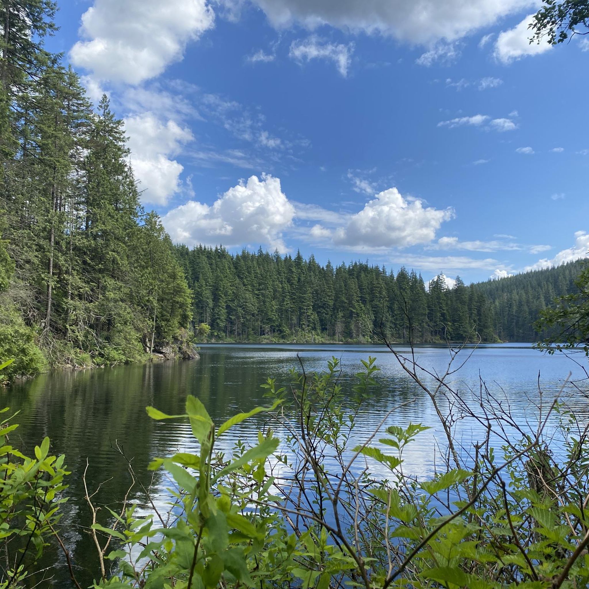
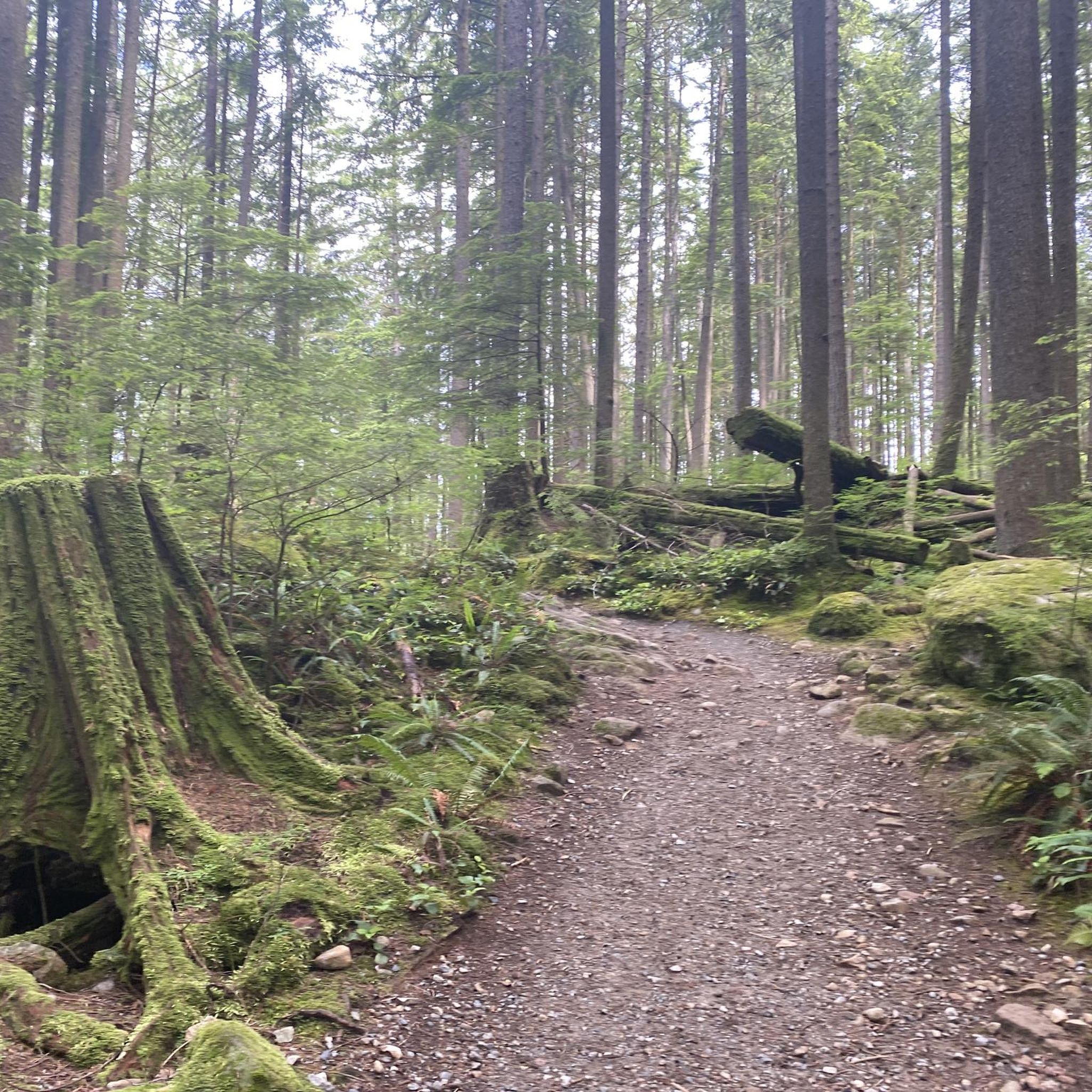
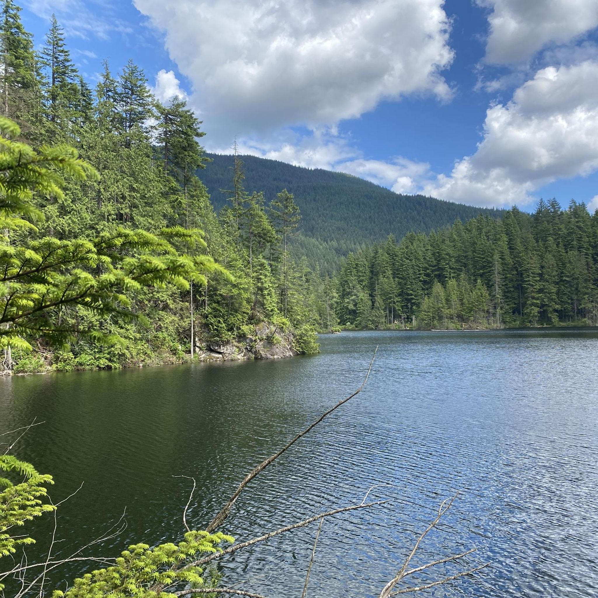

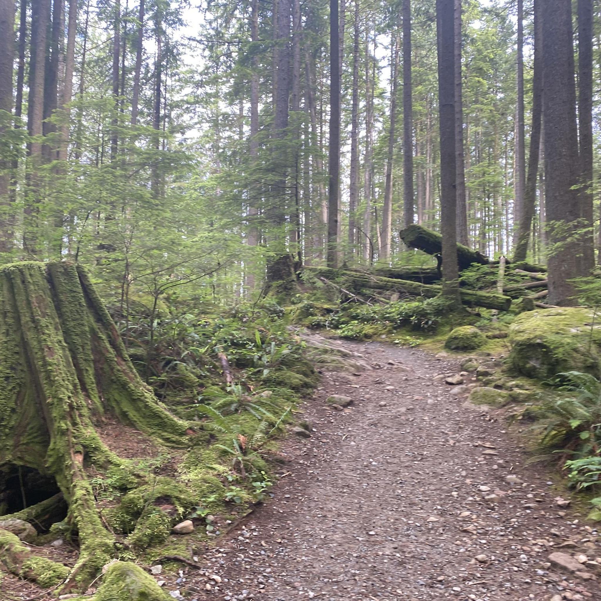
Tips from the Community

The first picture with the lighthouse is not Ambleside Park.
1
0

Also known as the Harry Jerome Sports Centre, you can play volleyball here and the indoor cycling track has an incredible banked wooden oval. If it's open, the velodrome is well worth a step inside to see the cycling track if nothing else.
0
0

The Springboard Trail is a wide, multi-use trail that traverses Belcarra Regional Park. It crosses paths with many other trails so you can take it as an out and back trail on its own, or combine it with another trail to make your own loop.
0
0

Ambleside Park is a stunning waterfront public space on the shores of Howe Sound across the water from downtown Vancouver. This path is open for walking, jogging, or biking along the park's wide seaside boardwalk, which connects to the Centennial Seawalk. Looking south, freighters and sailboats dot the waters under the Vancouver skyline. The beach is a mix of sand and pebbles, popular for sunbathing, beachcombing, and swimming. Even dogs can enjoy the park in the designated off-leash zone. The park also has golfing, baseball, and pickleball fields, plenty of activities for everyone.
1
0
On the east side of the bridge’s northern end, near the base of the bridge is a memorial to honor 27 workers who lost their lives on June 17, 1958, when a section of the original Second Narrows Bridge collapsed during construction.
0
0
The bike and foot path on the Ironworkers Memorial Bridge is part of the Spirit Trail and regional cycling network. It spans 1.3 km across Second Narrows, sitting 60 meters above the water. This well-maintained paved trail has awesome views of Downtown Vancouver, Mount Seymour, and the North Shore Mountains. It can get loud and often windy up there.
1
0

A nice monument to workers who lost their lives.
0
0

Frequently Asked Questions
How many road cycling routes are available in the Coquitlam Watershed area?
The Coquitlam Watershed region offers a diverse network of over 20 road cycling routes. These routes vary in difficulty, providing options for different skill levels, from easy rides to more challenging excursions.
What are the difficulty levels of road cycling routes in the Coquitlam Watershed region?
You'll find a range of difficulty levels. There are 3 easy routes, 15 moderate routes, and 2 difficult routes. This variety ensures that both casual riders and experienced cyclists can find suitable challenges. For example, the Lions Gate Bridge – Seymour Demonstration Forest loop from Lafarge Lake–Douglas is a difficult route with significant elevation changes.
Are there any family-friendly road cycling options in Coquitlam Watershed?
While the core Coquitlam Watershed is restricted, the broader Coquitlam area features an extensive network of over 100 km of signed bike lanes and multi-use pathways. These city-wide routes, often found on streets like United Blvd and Mariner Way, can offer flatter, more accessible sections suitable for families, connecting to parks and amenities.
What kind of terrain and elevation gain can I expect on road cycling routes here?
The region's topography, shaped by mountains, rivers, and temperate rainforests, means varied terrain. You can expect flatter sections along river valleys, but also routes with significant elevation gains, especially in areas bordering the Pacific Ranges. For instance, the Roadbike loop from Lafarge Lake–Douglas involves over 700 meters of elevation gain.
Are there scenic road cycling routes in the Coquitlam Watershed area?
Absolutely. Many routes offer scenic views of the region's natural beauty, including temperate rainforests, rivers, and the dramatic backdrop of the Pacific Ranges. While the protected watershed itself has limited access, nearby areas like Buntzen Lake offer picturesque landscapes with towering fir and hemlock trees, and routes often pass through diverse urban and natural environments.
Can I find loop road cycling routes in the Coquitlam Watershed region?
Yes, many road cycling routes in the area are designed as loops. Examples include the popular Roadbike loop from Lafarge Lake–Douglas and the Roadbike loop from Lincoln, which allow you to start and end at the same point, exploring diverse landscapes along the way.
What notable landmarks or natural features can I see while road cycling?
While cycling in the broader Coquitlam area, you can encounter diverse natural features. These include the ancient Coquitlam River, which is significant for salmon returns in the fall, and views of the Pacific Ranges, including peaks like Coquitlam Mountain. Routes may also pass near areas like Coquitlam River Park with its forest trails, or offer glimpses of the temperate rainforest ecosystems.
How can I access road cycling routes using public transport?
Coquitlam's central location and extensive bike route network are well-integrated with public transport. Many routes start near transit hubs like Lafarge Lake–Douglas or Coquitlam Central, making them accessible via public transport. The city's commitment to sustainable transportation means good connectivity to various starting points.
Where can I find parking for road cycling routes in the Coquitlam Watershed area?
Given the city's extensive bike network, parking is generally available at various points along the routes, especially near parks, community centers, or designated parking areas in urban sections. For routes starting from specific locations like Lafarge Lake–Douglas or Coquitlam Central, public parking facilities are typically available nearby.
What is the best time of year for road cycling in the Coquitlam Watershed region?
The region experiences significant annual rainfall, supporting lush forests. While cycling is possible year-round, the spring, summer, and early fall generally offer the most pleasant conditions with milder weather and less rain. This allows for better enjoyment of the diverse landscapes and longer daylight hours.
What do other cyclists say about road cycling in Coquitlam Watershed?
The road cycling routes in Coquitlam Watershed are highly rated by the komoot community, with an average score of 4.9 stars from around 15 reviews. Cyclists often praise the varied terrain, the extensive network of bike lanes, and the beautiful natural backdrops, making for engaging and rewarding rides.
Are there options for longer, more challenging road cycling routes?
Yes, for those seeking a greater challenge, there are difficult routes available. The Lions Gate Bridge – Seymour Demonstration Forest loop from Lafarge Lake–Douglas is a prime example, covering 136.9 km with over 1500 meters of elevation gain, showcasing varied urban and natural landscapes.
Are there any easier road cycling routes for beginners?
Yes, the Coquitlam Watershed area includes 3 easy routes, perfect for beginners or those looking for a more relaxed ride. These routes often utilize the city's multi-use pathways and flatter sections, providing a gentle introduction to road cycling in the region. An example of a moderate route with less elevation is the Taylight Brewing – Pitt Meadows Farming Country loop from Coquitlam Central.
Where can I find more information about cycling in Coquitlam?
For additional resources and information on cycling within the city of Coquitlam, including maps and details on the extensive network of bike lanes and multi-use pathways, you can visit the official tourism website: visitcoquitlam.ca.
Most popular routes in Coquitlam Watershed

Get inspired with the komoot mobile app


Explore more
Browse the best Road cycling routes in other regions.
