The best walks and hikes in Coquitlam Watershed
4.6
(314)
5,928
hikers
96
hikes
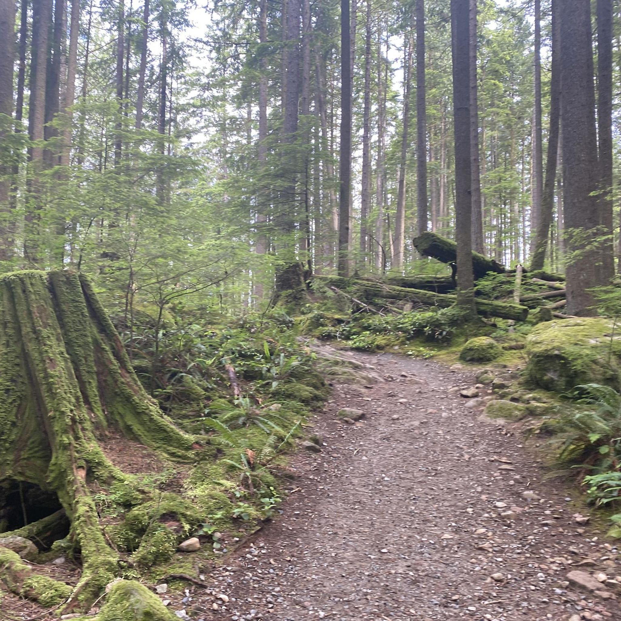
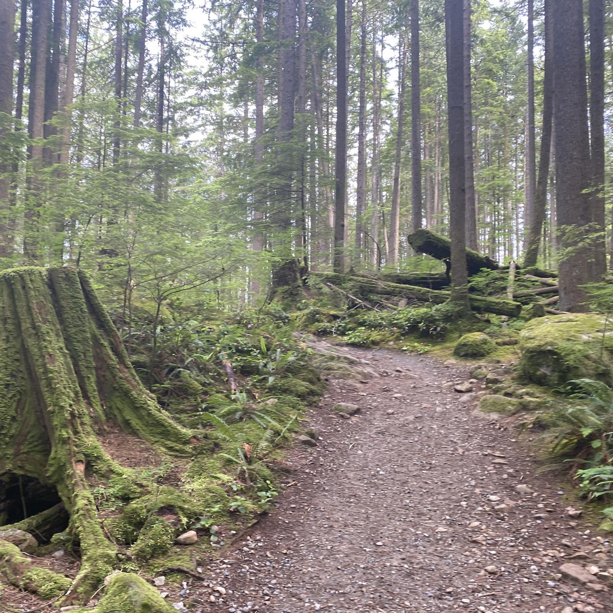
Hiking in Coquitlam Watershed offers diverse landscapes, extensive trail networks, and rich natural features. The region is characterized by mountainous terrain, valleys shaped by glacial activity, and dense old-growth forests. Hikers can expect to encounter significant water features, including lakes, rivers, and waterfalls, alongside panoramic views of inlets and distant mountains.
Best hiking trails in Coquitlam Watershed
- The most popular hiking route is Cypress Lake loop from North Hoy Creek Park, a 7.7 miles (12.4 km) trail that takes 3 hours 55 minutes to complete, offering varied terrain around Cypress Lake.
- Another top favourite among local hikers is Eagle Mountain Powerline Trail — Eagle Mountain Recreation Site, a moderate 5.1 miles (8.2 km) path. This trail provides views of inlets and mountains, with opportunities for wildlife encounters.
- Local hikers also love the Ridge Park loop — Ridge Park, a 2.4 miles (3.9 km) trail leading through forested parkland, often completed in about 1 hour 15 minutes.
- Hiking in Coquitlam Watershed is defined by mountainous terrain, old-growth forests, and numerous lakes and rivers. The network offers options for different ability levels, from easy paths to more challenging ascents.
- The routes in Coquitlam Watershed are highly rated by the komoot community with an average score of 4.6 stars from over 290 reviews. More than 5000 hikers have used komoot to explore Coquitlam Watershed's varied terrain.
Last updated: October 8, 2026
3.0
(1)
8
hikers
12.4km
03:55
470m
470m
Moderate hike. Good fitness required. Easily-accessible paths. Suitable for all skill levels.
25
hikers
8.17km
02:26
250m
250m
Moderate hike. Good fitness required. Easily-accessible paths. Suitable for all skill levels.

9
hikers
3.91km
01:16
170m
170m
Easy hike. Great for any fitness level. Easily-accessible paths. Suitable for all skill levels.
1
hikers
4.31km
01:31
240m
240m
Easy hike. Great for any fitness level. Easily-accessible paths. Suitable for all skill levels.
4.9
(22)
304
hikers
10.2km
02:51
200m
200m
Moderate hike. Good fitness required. Easily-accessible paths. Suitable for all skill levels.
Get access to more routes and recommendations from other explorers.
Already have an account?
Our route recommendations are based on thousands of hikes, rides, and runs completed by other people on komoot.
Start today with a free account
Your next adventure awaits.

Tips from the Community

As you climb through the trees, this outcrop offers a really nice viewpoint from the plateau, stretching out towards Coquitlam.
0
0

Powerline Road is a wide and flat gravel path with some sections of challenging incline. You'll find sweeping views of the inlets and mountains in the distance, as well as the occasional wildlife encounter, along this trail.
0
0
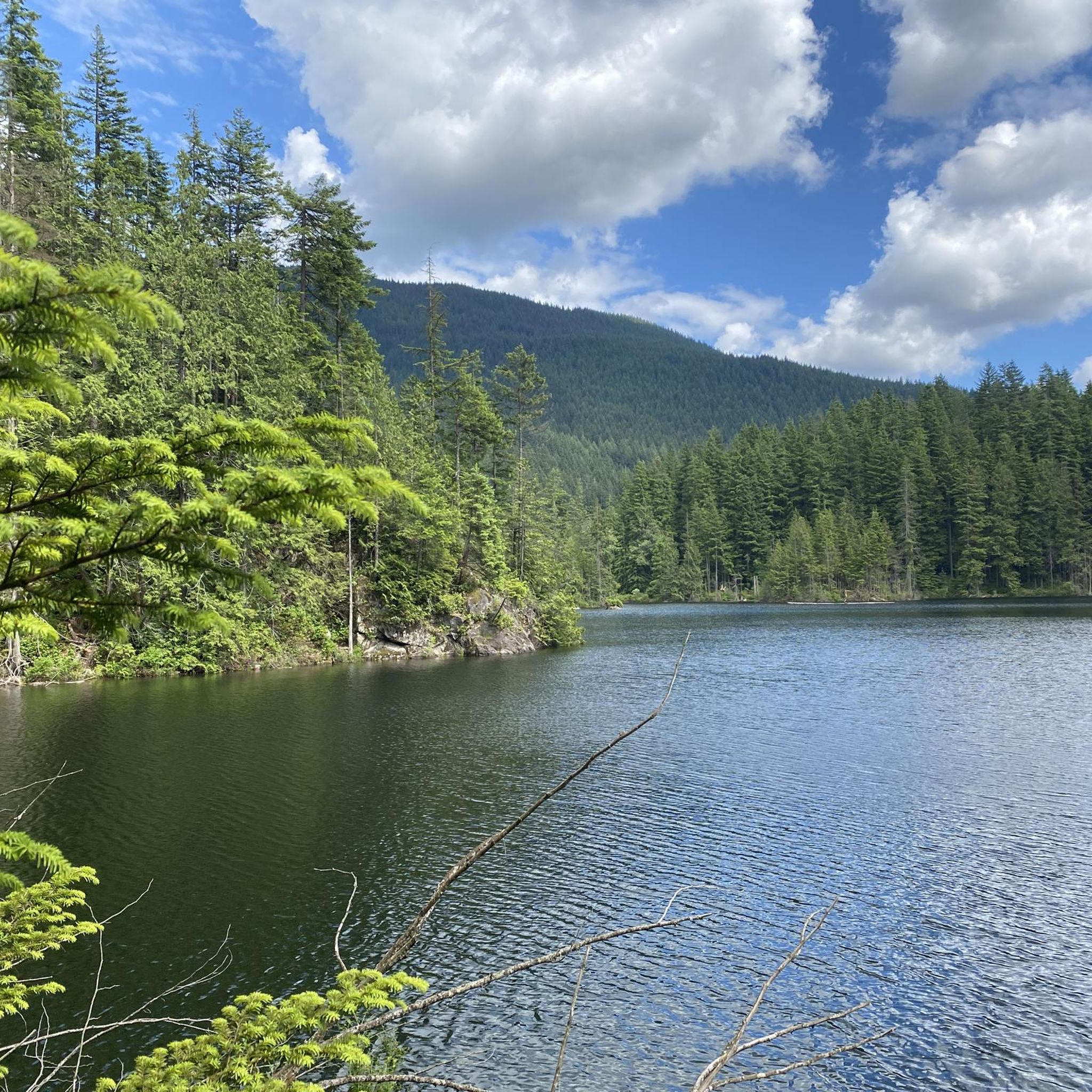
This lookout along the trail offers an eagle's eye view of Bunzten Lake to the east.
0
0

This is one of best creek crossing along the trail. The bridge here that goes over the river is very stable and safe.
0
0
This overlook offers a great panoramic view above the city of Coquitlam.
0
0

Buntzen Lake is a picturesque lake surrounded by towering fir and hemlock trees with hiking trails tracing along the shoreline offering grand lake and mountain views.
0
0

On this bridge and very early you can get beautiful photos of the lake
0
0
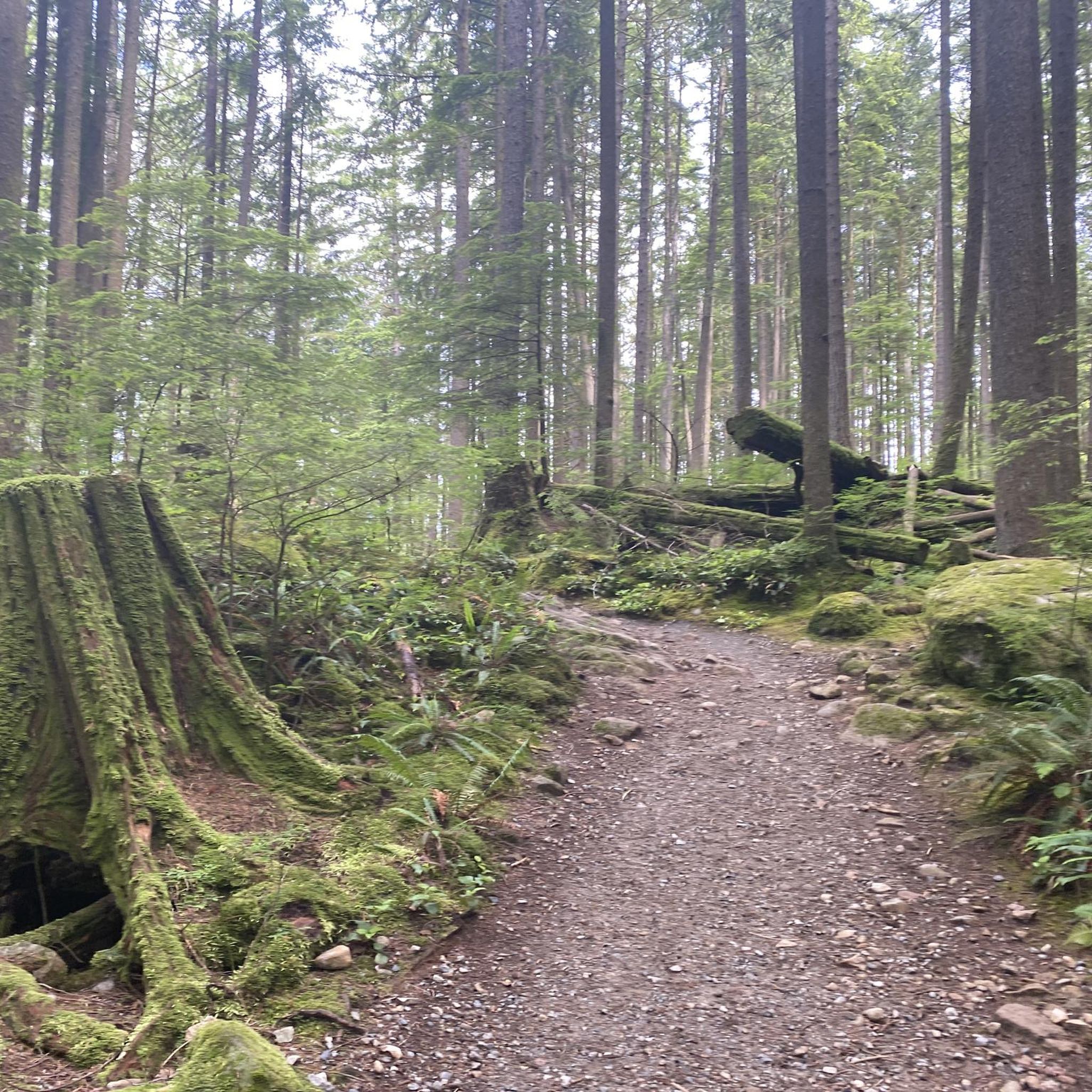
Through this forest track you can access Lake Buntzen, before the descent there is a viewpoint
0
0
Frequently Asked Questions
How many hiking trails are available in the Coquitlam Watershed area?
The Coquitlam Watershed region offers a wide variety of hiking opportunities, with over 90 trails available for exploration. These range from easy walks to more challenging ascents, catering to different fitness levels.
What kind of landscapes and natural features can I expect to see while hiking here?
Hikers in the Coquitlam Watershed will encounter diverse landscapes, including mountainous terrain, dense old-growth forests with towering Western red cedars and Douglas-firs, and subalpine areas. Significant water features like Buntzen Lake, the Coquitlam River, and various waterfalls such as Crystal Falls and Sawblade Falls are also prominent. Many trails offer panoramic views of inlets, distant mountains, and the watershed itself.
Are there any easy hiking trails suitable for beginners or families?
Yes, the Coquitlam Watershed area has numerous easy trails. For example, the Ridge Park loop — Ridge Park is an easy 3.9 km trail through forested parkland. Another option is the Ridge Park loop — Coquitlam, which is 4.3 km and also considered easy. Minnekhada Regional Park also offers accessible paths suitable for all fitness levels.
Can I find trails with waterfalls in the Coquitlam Watershed?
Yes, the region features several scenic waterfalls. Crystal Falls, located along the Upper Coquitlam River, is a popular spot for hikers. Additionally, the Woodland Walk Trail in Pinecone Burke Provincial Park leads to the beautiful Sawblade Falls.
Are there any circular hiking routes in the area?
Absolutely. Many trails in the Coquitlam Watershed are designed as loops. A popular moderate option is the Cypress Lake loop from North Hoy Creek Park, which covers 12.4 km. The Buntzen Lake Loop Trail is another well-known moderate circular hike, offering lake views and a suspension bridge over 10.2 km. For easier options, both Ridge Park loops are circular.
What is the best time of year to go hiking in the Coquitlam Watershed?
The Coquitlam Watershed offers hiking opportunities year-round, but the best time often depends on your preferences. Spring and fall provide pleasant temperatures and vibrant scenery, with the fall salmon run being a spectacular event from early October to late December. Summer is ideal for enjoying the lakes and rivers, while winter offers unique snowshoeing experiences, especially on guided tours.
Are dogs allowed on the hiking trails in Coquitlam Watershed?
Many parks and trails in the Coquitlam Watershed area are dog-friendly, but regulations can vary by specific park or trail. It's always best to check the local park rules for the specific trail you plan to visit, as some areas may require dogs to be on-leash or have restricted access to protect wildlife or water quality.
What kind of wildlife can I expect to see while hiking?
The wilderness around the Coquitlam Watershed is home to diverse wildlife. Hikers might spot bears, cougars, deer, owls, raccoons, coyotes, and skunks. The rivers are known for salmon, and the annual salmon run in the fall (chum salmon in October-November, coho salmon in late October-December) is a significant natural event to witness.
Are there any trails with panoramic viewpoints?
Yes, several trails offer sweeping vistas. The Eagle Mountain Powerline Trail provides excellent views of inlets and mountains. The Coquitlam Lake View Trail in Pinecone Burke Provincial Park leads to a rocky bluff with views overlooking the Coquitlam Watershed and Eagle Mountain. Guided tours into the central watershed also offer panoramic views of Coquitlam Lake.
What do other hikers enjoy most about the Coquitlam Watershed trails?
The Coquitlam Watershed trails are highly regarded by the komoot community, with an average score of 4.6 stars from over 290 reviews. Hikers frequently praise the diverse landscapes, the presence of old-growth forests, and the stunning water features like lakes and waterfalls. The variety of trail difficulties, from easy walks to challenging ascents, is also a highlight, allowing many to find suitable routes.
Is public transport available to access hiking trailheads in the Coquitlam Watershed?
Public transport options to trailheads in the Coquitlam Watershed area exist, though access can vary depending on the specific starting point. It's advisable to check local transit schedules and routes for the most up-to-date information on reaching your desired trailhead.
Are there any restrictions or permits required for hiking in certain parts of the Coquitlam Watershed?
The central Coquitlam Watershed area, which is a protected water source, typically has restricted public access. Guided hiking and snowshoe tours are offered during summer and winter, allowing visitors to explore key areas and learn about the region's ecosystem. However, numerous adjacent parks and recreation areas offer abundant public access to trails without special permits.
Most popular routes in Coquitlam Watershed

Get inspired with the komoot mobile app


Explore more
Browse the best Hikes in other regions.
