The best running trails in Blue Mountain Recreation Site
5.0
(2)
181
runners
25
runs
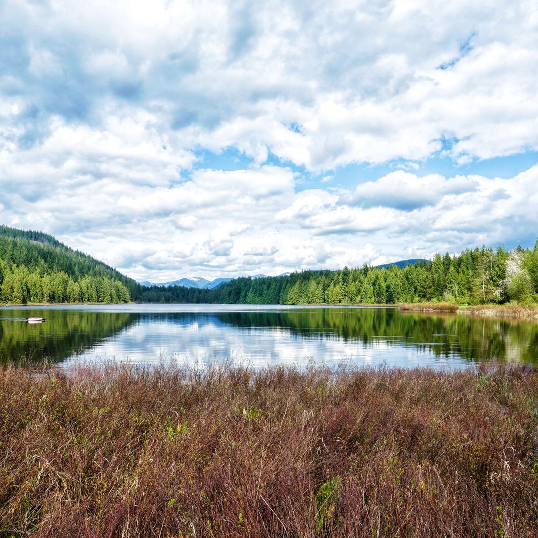
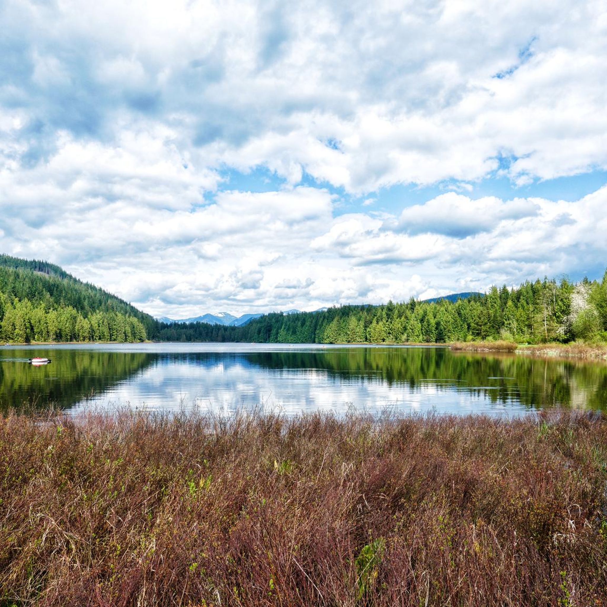
Jogging in Blue Mountain Recreation Site offers a network of trails through varied terrain. The region features forested areas, valleys, and creeks, providing a natural setting for running. Trails often include undulating paths and elevation changes, characteristic of a recreation site with natural features. This landscape provides a range of running experiences, from moderate paths to more challenging routes with significant climbs.
Best jogging routes in Blue Mountain Recreation Site
- The most popular jogging route is Alouette Valley Trail loop…
Last updated: October 8, 2026
21
runners
12.8km
01:48
400m
400m
Hard run. Very good fitness required. Sure-footedness, sturdy shoes and alpine experience required.
22
runners
11.5km
01:31
280m
290m
Moderate run. Good fitness required. Mostly paved surfaces. Suitable for all skill levels.

5.0
(1)
13
runners
22.8km
03:56
1,460m
1,460m
Hard run. Very good fitness required. Mostly paved surfaces. Suitable for all skill levels.
3
runners
8.15km
01:09
220m
230m
Hard run. Good fitness required. Sure-footedness, sturdy shoes and alpine experience required.
7
runners
12.3km
01:34
280m
280m
Moderate run. Good fitness required. Mostly paved surfaces. Suitable for all skill levels.
Get access to more routes and recommendations from other explorers.
Already have an account?
Our route recommendations are based on thousands of hikes, rides, and runs completed by other people on komoot.
Start today with a free account
Your next adventure awaits.
Popular around Blue Mountain Recreation Site
Tips from the Community

The Loop Trail connects the Menzies and Alouette Trails, making a quick loop in Golden Ears Provincial Park. Though not particularly steep it should be noted that head in a clockwise direction will take you downhill, while counter-clockwise is uphill.
0
0
This beautiful waterfall is tucked away along a trail of the same name. You can do a short out and back hike if you only want to see the falls, or you can combine the Menzies Trail with others in the park for a longer loop hike.
0
0

While most park trails are steep and rugged, this one is remarkably flat and wide because it follows an old 1920s railway grade once used for logging.
0
0
Frequently Asked Questions
How many running routes are available in Blue Mountain Recreation Site?
There are over 25 dedicated running routes in Blue Mountain Recreation Site, offering a variety of experiences through forested areas, valleys, and along creeks. These routes cater to different fitness levels, from easy paths to more challenging trails.
Are there easy running routes suitable for beginners in Blue Mountain Recreation Site?
Yes, Blue Mountain Recreation Site offers 3 easy running routes perfect for beginners or those looking for a less strenuous jog. These trails typically feature gentler inclines and well-maintained paths, allowing for a comfortable introduction to the area's natural beauty.
What is the typical length of jogging trails in Blue Mountain Recreation Site?
The jogging trails in Blue Mountain Recreation Site vary significantly in length. You can find routes ranging from shorter distances for a quick run to longer, more extensive loops. For example, the South Beach loop from Golden Ears is a moderate 7.6-mile (12.3 km) option, while the Golden Ears – Gold Creek Lookout loop from West Canyon parking lot is a challenging 14.2-mile (22.8 km) trail.
Are there any loop running trails in Blue Mountain Recreation Site?
Yes, many of the running routes in Blue Mountain Recreation Site are designed as loops, providing a continuous and varied experience without retracing your steps. Popular loop options include the Alouette Valley Trail loop from P2 and the Gold Creek – Gold Creek Lookout loop from Gold Creek Parking.
What are the options for parking when visiting Blue Mountain Recreation Site for a run?
Parking is generally available at key access points within Blue Mountain Recreation Site. For instance, the Gold Creek – Gold Creek Lookout loop starts from Gold Creek Parking, and the Golden Ears – Gold Creek Lookout loop can be accessed from the West Canyon parking lot. It's advisable to check specific route details for the most convenient parking locations.
Are the running trails in Blue Mountain Recreation Site suitable for families?
While many trails in Blue Mountain Recreation Site feature undulating paths and elevation changes, there are options suitable for families, especially those with some hiking experience. Look for the easy and moderate rated routes, which tend to be less challenging. Always check the route's difficulty and length to ensure it matches your family's capabilities.
Can I bring my dog on the jogging routes in Blue Mountain Recreation Site?
Blue Mountain Recreation Site is generally dog-friendly, but specific regulations may apply to certain trails or areas. It's always recommended to keep your dog on a leash and to check for any posted signage regarding pet restrictions on individual routes. Ensure you pack out any waste to help keep the trails clean for everyone.
What is the best time of year to go jogging in Blue Mountain Recreation Site?
The best time to go jogging in Blue Mountain Recreation Site depends on your preference. Spring and fall offer pleasant temperatures and vibrant scenery, with less crowded trails. Summer is also popular, but trails can be busier, and it's essential to stay hydrated. Winter running is possible, but some trails may be icy or muddy, requiring appropriate footwear and caution.
Are there challenging running routes for experienced runners in Blue Mountain Recreation Site?
Absolutely. Blue Mountain Recreation Site is known for its challenging routes with significant climbs and varied terrain, perfect for experienced runners seeking a demanding workout. Routes like the Golden Ears – Gold Creek Lookout loop from West Canyon parking lot, which covers 14.2 miles (22.8 km) with substantial elevation gain, offer a rigorous experience.
What do other runners enjoy most about jogging in Blue Mountain Recreation Site?
The komoot community highly rates the running experience in Blue Mountain Recreation Site, with an average score of 5.0 stars. Runners often praise the diverse landscape, including forested trails, valley paths, and creek-side running, as well as the well-maintained network that offers options for various ability levels.
Are there any scenic jogging routes in Blue Mountain Recreation Site?
Many routes in Blue Mountain Recreation Site offer beautiful scenery. The region features forested areas, valleys, and creeks, providing a natural backdrop for your run. Trails like the Gold Creek – Gold Creek Lookout loop provide views from the lookout and follow the picturesque creek, making for a very scenic experience.
How can I find less crowded running paths in Blue Mountain Recreation Site?
To find less crowded running paths, consider visiting during off-peak hours, such as early mornings or weekdays. Exploring some of the longer or more challenging routes, which naturally attract fewer people, can also lead to a more solitary experience. The site's extensive network means there are always quieter corners to discover.
Most popular routes in Blue Mountain Recreation Site

Get inspired with the komoot mobile app


Explore more
Browse the best Running Trails & Routes in other regions.
