The best MTB trails in Whistler Interpretive Forest
4.3
(63)
1,627
riders
45
rides
Mountain biking in Whistler Interpretive Forest offers an extensive network of trails nestled between Garibaldi Provincial Park and Whistler's Function Junction. The terrain features diverse forest ecosystems, including dense woodlands, alongside prominent natural features like the turquoise Cheakamus River and Loggers Lake, which sits within a volcanic crater. Riders can expect a mix of multi-use paths and challenging singletrack, with significant elevation changes in some areas. This region provides a true mountain playground for various skill levels.
Best mountain bike trails in Whistler Interpretive Forest
- The most popular mountain bike trail is Riverside Blue Trail loop from Function Junction, a 7.7 miles (12.5 km) moderate route that takes about 1 hour 13 minutes to complete, offering scenic views along the Cheakamus River.
- Another top favourite among local mountain bikers is AM/PM loop from Function Junction, a difficult 6.0 miles (9.7 km) path. This route features challenging singletrack with notable elevation gains, requiring advanced riding skills.
- Local mountain bikers also love the Nita Lake – Lost Lake loop from Cheakamus Crossing, a 20.9 miles (33.6 km) trail leading through diverse landscapes and connecting to scenic lakes, often completed in about 2 hours 27 minutes.
- Mountain biking in Whistler Interpretive Forest is defined by its extensive forest ecosystems, the scenic Cheakamus River, and unique features like Loggers Lake. The network offers options for beginners to advanced riders, with trails ranging from easy gravel paths to demanding singletrack.
- The routes in Whistler Interpretive Forest are highly rated by the komoot community with an average score of 4.6 stars from over 70 reviews. More than 2000 mountain bikers have used komoot to explore Whistler Interpretive Forest's varied terrain.
Last updated: September 30, 2026
4.3
(3)
69
riders
12.2km
01:10
230m
230m
Moderate mountain bike ride. Great for any fitness level. Advanced riding skills necessary.
45
riders
10.0km
01:06
300m
300m
Hard mountain bike ride. Great for any fitness level. Advanced riding skills necessary. Some portions of the route may require you to push your bike.

4.6
(7)
71
riders
35.6km
02:34
480m
480m
Hard mountain bike ride. Good fitness required. Advanced riding skills necessary. Some portions of the route may require you to push your bike.
34
riders
26.5km
02:29
420m
420m
Moderate mountain bike ride. Good fitness required. Advanced riding skills necessary.
9
riders
5.68km
00:36
180m
180m
Hard mountain bike ride. Great for any fitness level. Advanced riding skills necessary. Some portions of the route may require you to push your bike.
Get access to more routes and recommendations from other explorers.
Already have an account?
Our route recommendations are based on thousands of hikes, rides, and runs completed by other people on komoot.
Start today with a free account
Your next adventure awaits.

Other adventures in Whistler Interpretive Forest

Tips from the Community

Lost Lake Beach is part of Lost Lake Park, with a sandy beach bordered by a grassy lawn. Swimming is allowed, but it will be refreshing! Other amenities the park has to offer include picnic areas, BBQs, and restrooms as well as a parking area.
1
0
Memorial Rock has become an informal place of remembrance. There are often flowers, handwritten notes, and painted stones left in memory of loved ones. Please enjoy this unofficial area peacefully and respectfully, as it is important to the community.
1
0
Don MacLaurin's Crossing, more widely known as the Cheakamus River Suspension Bridge, is a pedestrian bridge spanning the turquoise waters of the Cheakamus River. The bridge sways, but it is sturdy and safe. The river is especially amazing to watch from the bridge above during spring runoff when water levels are high.
1
0
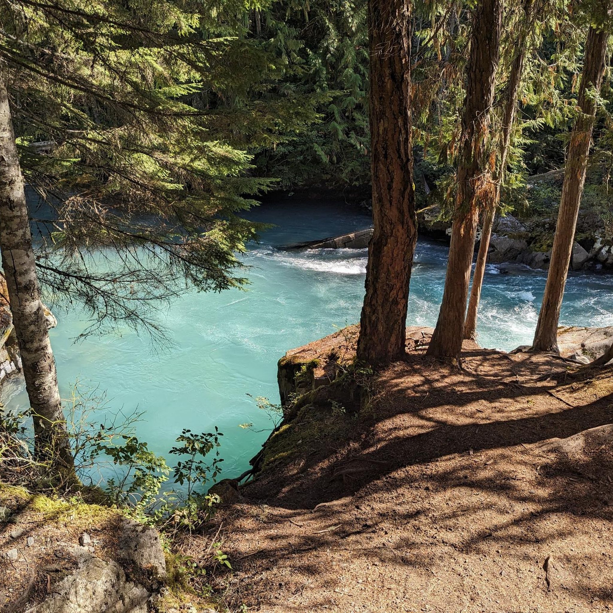
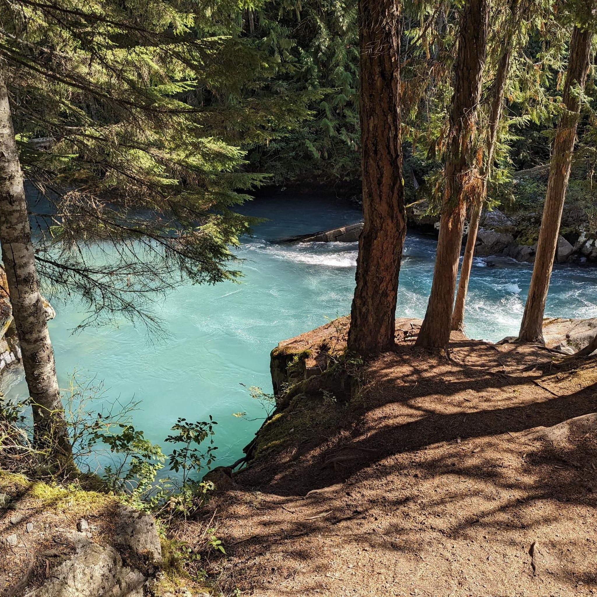
The Cheakamus River is known for its blue and turquoise water and the dramatic canyon it thunders through. The color comes from glacial melt from the nearby Coast Mountains. Hikers and bikers will pass rock cliffs and gorges carved by centuries of rushing water. The Cheakamus River is often dotted with fly fishers fishing for rainbow trout and bull trout. When the water is flowing strongly, whitewater paddlers brave the cold waters. In the fall, the surrounding trees turn amazing colors.
1
0

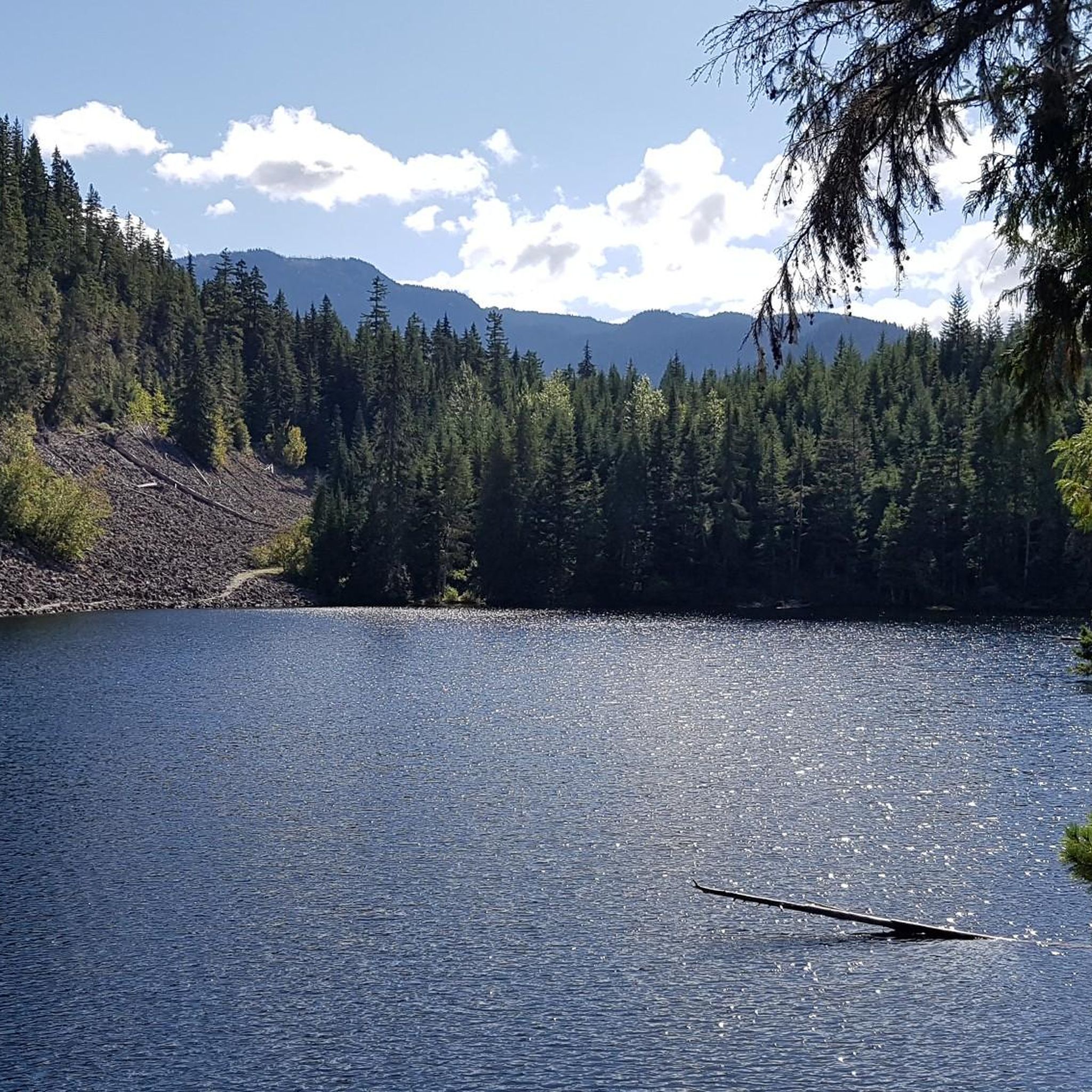
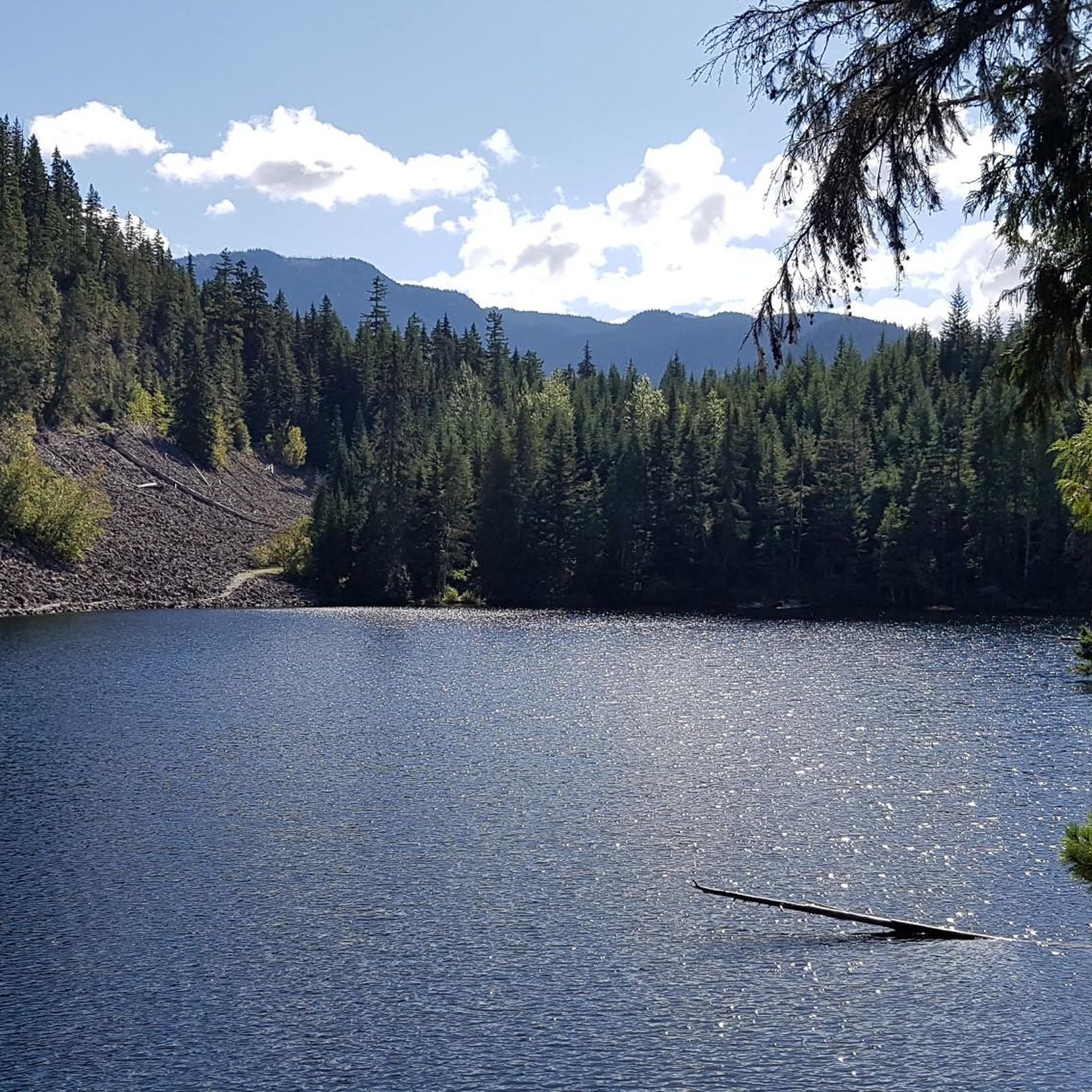
Tucked in the forest just outside Whistler Village, Lost Lake is a beautiful, quiet spot surrounded by tall evergreens and mountain views. It’s a popular spot for swimming and paddleboarding in summer, with trails around its perimeter perfect for hiking and biking. In winter, the area transforms into a snowy network of cross-country ski and snowshoe trails, offering a quiet escape just minutes from town.
1
0

Lost Lake Beach is located northeast of Whistler Village; the lake can be reached by bike or on foot via the Lost Lake Trail.
3
0
Lost Lake was formed when glaciers retreated from the valley, leaving behind a buried block of ice. After the ice melted, a circular depression was created that filled with water, forming a so-called kettle lake. https://fireandicegeoregion.ca/geosite/lost-lake/ https://www.legendswhistler.com/whistler/news/2019/4/11/lost-lake-whistler/
2
0

A quiet place next to the river to remember. Our Spirits are Free like the Rivers that flow from the Mountains to the Sea. Live your Dreams.
0
0
Frequently Asked Questions
How many mountain bike trails are available in Whistler Interpretive Forest?
Whistler Interpretive Forest offers a comprehensive network of nearly 50 mountain bike trails. These routes cater to a wide range of abilities, from easy gravel paths to challenging singletrack, ensuring options for all skill levels.
What kind of terrain can I expect on the mountain bike trails?
The terrain in Whistler Interpretive Forest is diverse, featuring extensive forest ecosystems with dense woodlands. You'll find a mix of multi-use paths and technical singletrack. Many trails include significant elevation changes, especially on more difficult routes, offering a true mountain biking experience.
Are there any easy mountain bike trails suitable for beginners?
Yes, there are several easy mountain bike trails. For instance, the region offers 5 easy routes, perfect for those new to mountain biking or looking for a more relaxed ride. These trails often feature smoother surfaces and less challenging gradients.
Are there any family-friendly mountain bike trails in Whistler Interpretive Forest?
While specific 'family-friendly' designations aren't always clear, the easier trails are generally suitable for families. These routes provide a less strenuous experience, allowing families to enjoy the forest's natural beauty together. Look for trails with minimal elevation gain and wider paths.
What natural features or landmarks can I see along the trails?
The forest is rich with natural beauty and unique landmarks. You can ride alongside the stunning turquoise waters of the Cheakamus River, visit Logger's Lake which sits inside a volcanic crater, or cross the scenic Cheakamus River Suspension Bridge. Don't miss the unique Whistler Train Wreck, an artistic display of graffiti-covered train cars nestled in the woods.
Are there any loop trails for mountain biking?
Yes, many of the mountain bike trails in Whistler Interpretive Forest are designed as loops, allowing for varied rides without retracing your steps. Popular options include the moderate Riverside Blue Trail loop from Function Junction and the more challenging Nita Lake – Lost Lake loop from Cheakamus Crossing.
What is the best time of year to go mountain biking in Whistler Interpretive Forest?
The best time for mountain biking is typically from spring through fall, when trails are clear of snow and conditions are dry. During certain seasons, you might even spot salmon spawning in the creeks and rivers, adding to the natural experience.
Can I bring my dog on the mountain bike trails?
Many trails in Whistler Interpretive Forest are multi-use, and dogs are generally permitted, often on leash. However, it's always best to check specific trail regulations or signage before heading out, as rules can vary.
What do other mountain bikers say about the trails in Whistler Interpretive Forest?
The mountain bike trails in Whistler Interpretive Forest are highly regarded by the komoot community, with an average rating of 4.6 stars from over 70 reviews. Riders often praise the diverse terrain, the well-maintained paths, and the stunning natural scenery, including the Cheakamus River and Loggers Lake.
Are there any challenging mountain bike routes for experienced riders?
Absolutely. Whistler Interpretive Forest is known for its challenging singletrack. For experienced riders, routes like the AM/PM loop from Function Junction offer significant elevation gains and technical sections that require advanced riding skills. There are 30 difficult routes in the area for those seeking a demanding ride.
How long does it take to complete some of the mountain bike trails?
Trail durations vary significantly based on length and difficulty. For example, the moderate Riverside Blue Trail loop typically takes about 1 hour 13 minutes, while the more extensive and difficult Cheakamus River – Cheakamus Lake loop can take around 2 hours 30 minutes.
Most popular routes in Whistler Interpretive Forest
Most popular attractions in Whistler Interpretive Forest

Get inspired with the komoot mobile app


Explore more
Browse the best MTB trails in other regions.
