The best running trails in Brandywine Falls Provincial Park
5.0
(1)
412
runners
11
runs
Jogging in Brandywine Falls Provincial Park offers diverse routes through a landscape shaped by volcanic activity and glacial forces. The region features a dramatic 70-meter waterfall, ancient lava beds, and pine forests, providing varied terrain for runners. Trails often present views of Daisy Lake and the surrounding mountains, including Black Tusk Peak. The park's geology creates a unique environment for outdoor activities.
Best jogging routes in Brandywine Falls Provincial Park
- The most popular jogging route is Lava Lake loop from…
Last updated: September 30, 2026
6
runners
9.42km
01:05
100m
100m
Moderate run. Good fitness required. Mostly paved surfaces. Suitable for all skill levels.
84
runners
28.6km
04:26
1,540m
1,540m
Hard run. Very good fitness required. Mostly paved surfaces. Suitable for all skill levels.

54
runners
18.1km
02:48
960m
960m
Hard run. Very good fitness required. Mostly paved surfaces. Suitable for all skill levels.
16
runners
14.5km
01:34
180m
180m
Moderate run. Good fitness required. Mostly paved surfaces. Suitable for all skill levels.
5
runners
3.92km
00:27
40m
40m
Easy run. Great for any fitness level. Mostly paved surfaces. Suitable for all skill levels.
Get access to more routes and recommendations from other explorers.
Already have an account?
Our route recommendations are based on thousands of hikes, rides, and runs completed by other people on komoot.
Start today with a free account
Your next adventure awaits.

Other adventures in Brandywine Falls Provincial Park

Tips from the Community


Memorial Rock has become an informal place of remembrance. There are often flowers, handwritten notes, and painted stones left in memory of loved ones. Please enjoy this unofficial area peacefully and respectfully, as it is important to the community.
1
0
The Cheakamus River is known for its blue and turquoise water and the dramatic canyon it thunders through. The color comes from glacial melt from the nearby Coast Mountains. Hikers and bikers will pass rock cliffs and gorges carved by centuries of rushing water. The Cheakamus River is often dotted with fly fishers fishing for rainbow trout and bull trout. When the water is flowing strongly, whitewater paddlers brave the cold waters. In the fall, the surrounding trees turn amazing colors.
1
0

Alta Lake Park is the informal name for a section of land at the southwestern end of Alta Lake. The two Poet's Pause sculptures, "Lost in Sound" and "Lakeside Couple," are located here, as well as two wrecked vehicles along the forest trail.
2
0

A quiet place next to the river to remember. Our Spirits are Free like the Rivers that flow from the Mountains to the Sea. Live your Dreams.
0
0
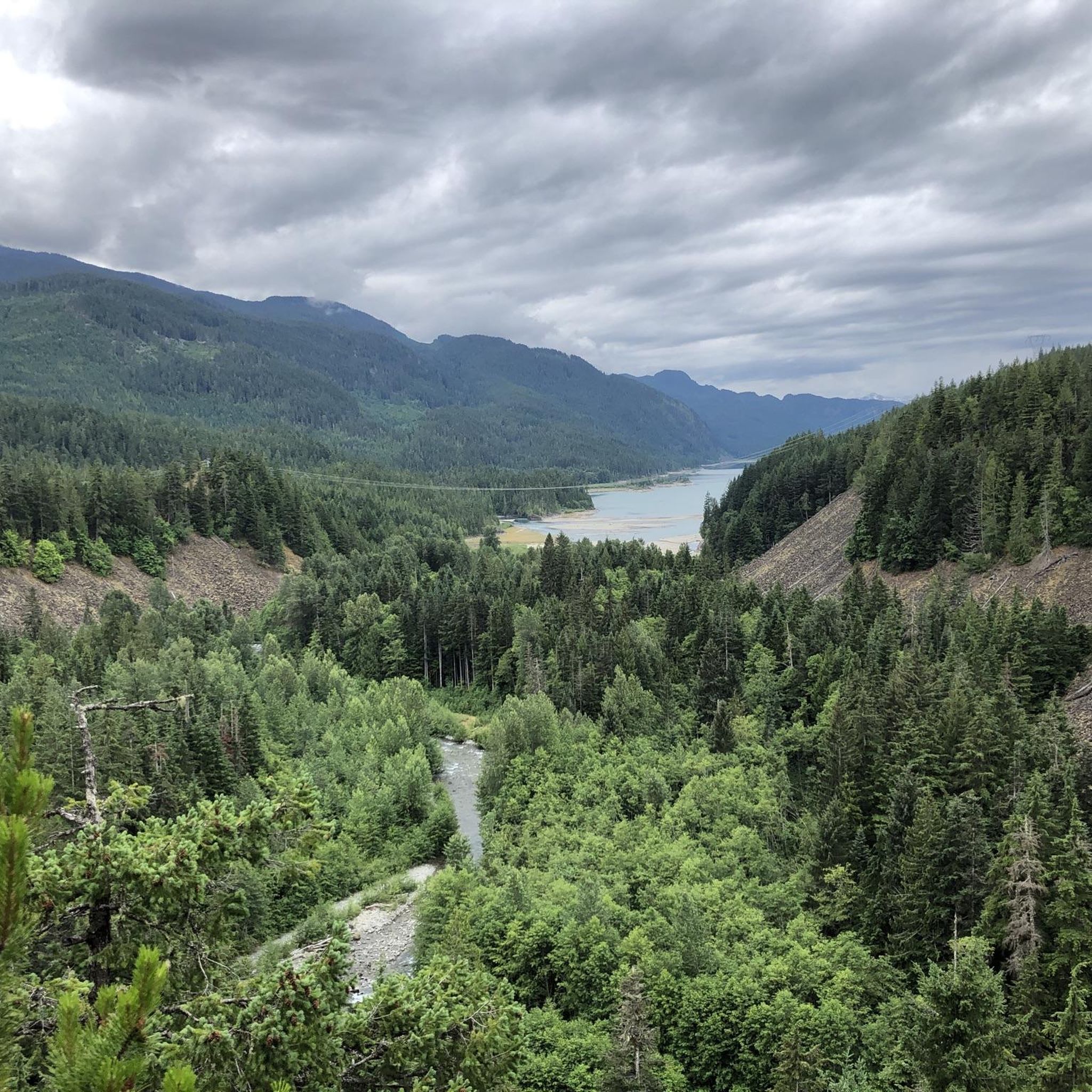
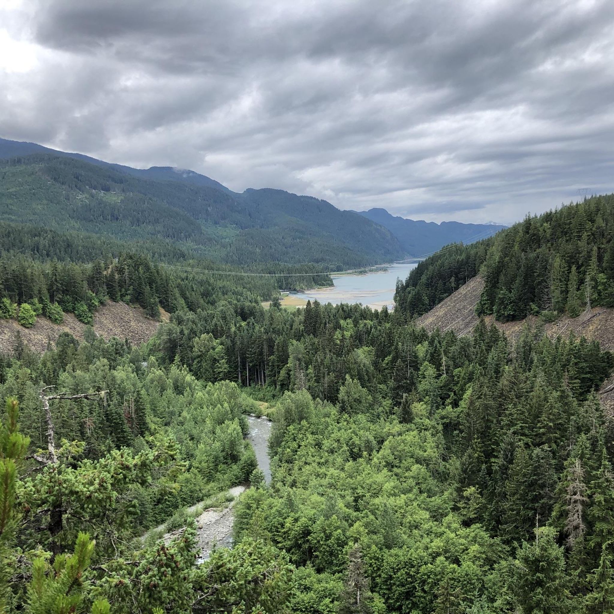
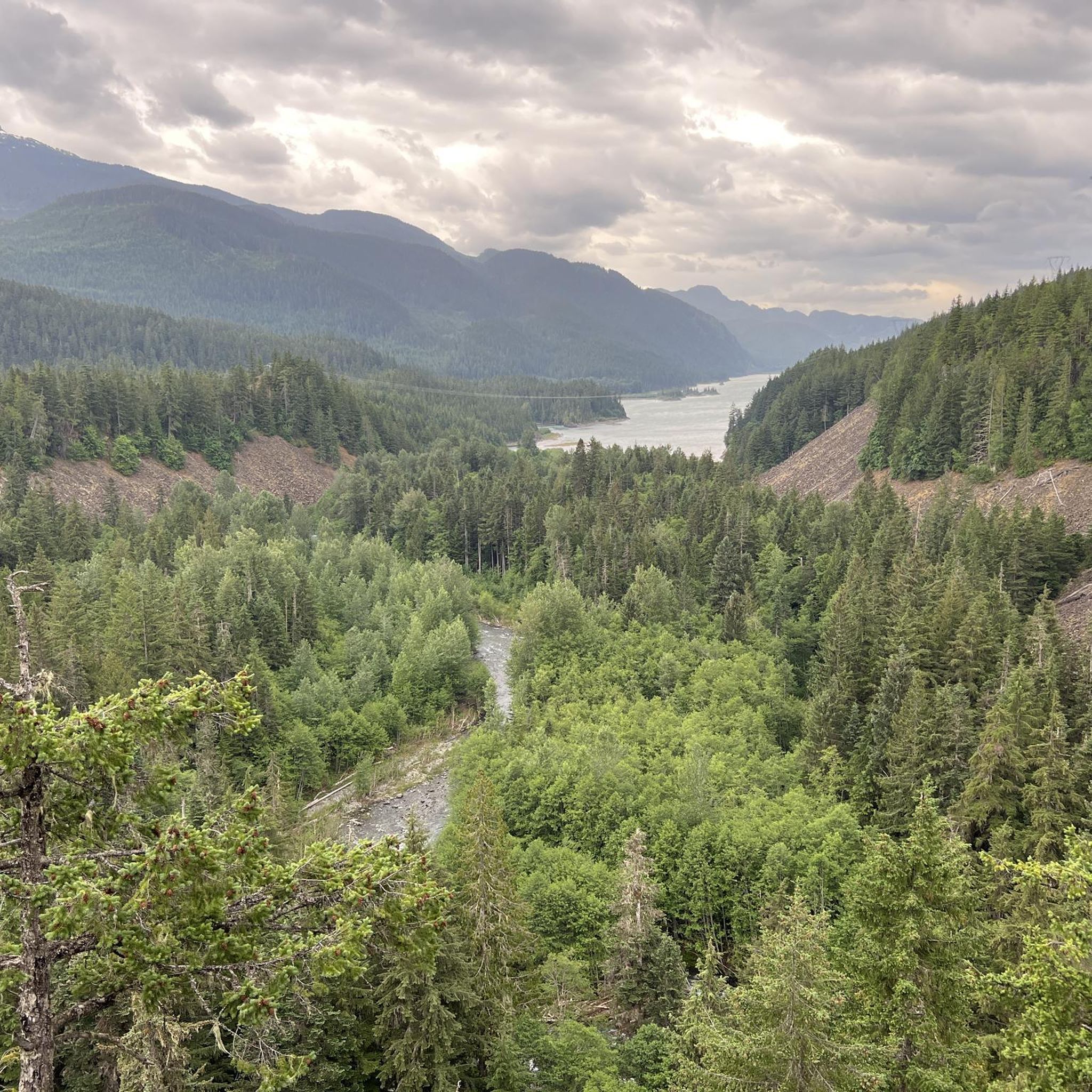
From the southern vantage point of Brandywine Falls, you have a magnificent view of Daisy Lake Reservoir and Black Tusk Mountain in the Garibaldi Ranges of the Coast Mountains. The Daisy Lake Reservoir was created in 1926 after the construction of the Cheakamus Dam; the dam was replaced in 1984. The reservoir is part of the Cheakamus Hydroelectric Power Plant on the Squamish River. https://www.bchydro.com/energy-in-bc/operations/transmission-reservoir-data/previous-reservoir-elevations/lower-mainland/daisy_lake_dsy.html
0
0

The direct route from the parking lot to Garibaldi Lake is easily doable even in early May, as the snow on the trails is already packed. Before that, we hiked up to Panaroma Ridge, which is almost impossible without snowshoes or something similar at this time of year (1.80 meters of snow), but at least you're completely alone there.
0
0
Brandywine Falls is a popular waterfall along the Sea-to-Sky Corridor between Vancouver and Whistler. The falls plunge 59 meters over a cliff that was carved into a deep canyon by eruptions from the nearby Garibaldi volcanic field and the erosive power of Brandywine Creek. Brandywine Creek originates from two glaciers on Brandywine Mountain and Mount Fee. The name of the Falls is said to come from a bet between two Canadian Pacific Railroad workers who bet on the height of the Falls. There are different estimates of the height of the Falls: BC Provincial Park Service - 70 meters; other sources - 65 meters. Measurements in May 2018 showed a height of 59 meters. (Visit June 5, 2018 & May 24, 2025) https://www.worldwaterfalldatabase.com/waterfall/Brandywine-Falls-2036
2
0
Frequently Asked Questions
What kind of terrain can I expect on the running routes in Brandywine Falls Provincial Park?
The park offers diverse terrain shaped by volcanic activity and glacial forces. You'll find trails winding through ancient lava beds and distinct pine forests. Many paths, like the main Brandywine Falls trail, feature a wide, flat gravel surface, while others, such as sections of the Sea to Sky Trail, include packed gravel with gentle grades and some steeper pitches.
Are there any easy or beginner-friendly running trails in Brandywine Falls Provincial Park?
Yes, the main Brandywine Falls trail is an easy 1.2-kilometer path leading to the waterfall viewpoints. It's described as suitable for all ages and even baby strollers due to its wide, flat gravel surface, making it perfect for a comfortable, beginner-friendly run. For a slightly longer option, sections of the Sea to Sky Trail within the park also offer mostly gentle grades.
What natural landmarks or points of interest can I see while jogging in the park?
While running, you can experience the spectacular Brandywine Falls, a 70-meter waterfall. Many routes also offer impressive views of Daisy Lake and the surrounding mountains, including the famed Black Tusk Peak. You might also pass by unique geological features like ancient lava beds and small lake areas such as Pothole Lake and Swim Lake.
Are there any loop running routes available in Brandywine Falls Provincial Park?
Absolutely! The park features several excellent loop options. A popular choice is the Lava Lake loop from Brandywine Falls Provincial Park, which is about 9.4 km and takes you through a distinct pine forest and past small lake areas. Another favorite is the Brandywine Falls loop from Brandywine Falls Provincial Park, also around 9.4 km, offering views of the impressive falls and mountain scenery.
Can I bring my dog on the running trails in Brandywine Falls Provincial Park?
Brandywine Falls Provincial Park generally allows dogs on trails, but they must be kept on a leash at all times. It's always a good idea to check the latest park regulations on the official BC Parks website before your visit, as rules can sometimes change.
Is Brandywine Falls Provincial Park suitable for family runs or runs with children?
Yes, the park is very family-friendly. The main Brandywine Falls trail, in particular, is an easy 1.2-kilometer walk to the waterfall viewpoints, suitable for all ages and even accessible with a baby stroller due to its wide, flat gravel surface. This makes it an ideal spot for families to enjoy a gentle run or walk together.
What do other runners say about their experience jogging in Brandywine Falls Provincial Park?
The running routes in Brandywine Falls Provincial Park are highly rated by the komoot community, with an average score of 3.5 stars from over 2 reviews. Runners often praise the stunning natural features, such as the dramatic waterfall and views of Daisy Lake, as well as the varied terrain that caters to different ability levels.
Are there any longer or more challenging running routes for experienced runners?
For those seeking a greater challenge, the park connects to sections of the extensive Sea to Sky Trail. A 7km looped trail further through the dense forest and ancient lava beds to Cal-Cheak Suspension Bridge also provides a longer option. More challenging routes like The Barrier loop from Rubble Creek (28.6 km with significant elevation gain) are also accessible nearby for experienced runners looking for a longer adventure.
What is the best time of year to go running in Brandywine Falls Provincial Park?
The main Brandywine Falls trail is generally accessible from April to November. The park's natural beauty, including the waterfall and surrounding landscapes, is particularly vibrant during spring and fall. While some trails may be open in winter, conditions can vary with snow and ice, so it's best to check current park conditions before planning a winter run.
Is there parking available at Brandywine Falls Provincial Park for runners?
Yes, Brandywine Falls Provincial Park has a dedicated parking lot available for visitors. It's conveniently located near the trailhead for the main Brandywine Falls trail, providing easy access to the park's running routes.
Can I reach Brandywine Falls Provincial Park using public transport?
While specific public transport routes directly to the park entrance might be limited, it's advisable to check local transit options or shuttle services operating in the Whistler/Squamish corridor, as the park is located off Highway 99. However, a personal vehicle is generally the most convenient way to access the park.
Are there any unique ecological features to look out for while running in the park?
Beyond the dramatic waterfall and volcanic rock, the park is notable for its unique pine forest, which is somewhat rare for the coastal environment. The park was also expanded to protect a unique habitat for red-legged frogs, a provincial 'blue listed' species at risk, adding to its ecological significance.
Most popular routes in Brandywine Falls Provincial Park
Most popular attractions in Brandywine Falls Provincial Park

Get inspired with the komoot mobile app


Explore more
Browse the best Running Trails & Routes in other regions.
