The best walks and hikes in Brandywine Falls Provincial Park
4.5
(530)
4,871
hikers
37
hikes
Hiking in Brandywine Falls Provincial Park is characterized by its diverse natural features, including the 70-meter Brandywine Falls, volcanic escarpments, and lush forests. The park's terrain encompasses ancient lava beds, small lakes formed by depressions in old lava fields, and riparian areas along the Cheakamus River and Brandywine Creek. Views of Daisy Lake and the surrounding mountains, including Black Tusk, are also prominent.
Best hiking trails in Brandywine Falls Provincial Park
- The most popular hiking route is Brandywine Falls –…
Last updated: October 11, 2026
3
hikers
17.5km
07:03
980m
980m
Hike the difficult 10.9-mile (17.5 km) Brew Lake Trail in Brew Lake Recreation Reserve, gaining 3210 feet (978 metres) to a warm alpine lake
3
hikers
22.9km
09:15
1,260m
1,260m
Hard hike. Very good fitness required. Mostly accessible paths. Sure-footedness required.

4.6
(24)
226
hikers
Easy hike. Great for any fitness level. Easily-accessible paths. Suitable for all skill levels.
4.6
(10)
84
hikers
Easy hike. Great for any fitness level. Easily-accessible paths. Suitable for all skill levels.
4.3
(4)
32
hikers
Moderate hike. Good fitness required. Easily-accessible paths. Suitable for all skill levels.
Get access to more routes and recommendations from other explorers.
Already have an account?
Our route recommendations are based on thousands of hikes, rides, and runs completed by other people on komoot.
Start today with a free account
Your next adventure awaits.

Other adventures in Brandywine Falls Provincial Park

Tips from the Community


Perched high above the treeline at around 1,686 metres, the Brew Hut feels like a true alpine destination after a long climb. The hut itself is a simple backcountry shelter, maintained by the Varsity Outdoor Club, and is often used by hikers and skiers as a base for overnight trips. From here, you get wide, open views across the surrounding peaks, with Brew Lake sitting below. It’s exposed, rugged, and rewarding — the kind of place that makes the effort to get here feel worth it.
0
0

Once you reach the Brew Lake Trail off Branch 110, the route begins with a westward climb through forested terrain. The most significant elevation gain occurs in the last 2 kilometers, where the trail enters a large boulder field. From this point, keep a close eye out for trail markers as you ascend along the edge of the boulders. Shortly after, you will arrive at a beautiful alpine lake nestled among meadows and low peaks.
0
0
Brew Lake is a stunning mountain lake nestled in a vast alpine valley. The lake is framed by tree-covered hills and cliffs on one side, contrasting with scree slopes and large boulders on the other. Notably, this adventure sees significantly less traffic than other hikes in the area.
0
0

In a forest clearing for the power line route, there is a branch of the Sea to Sky Trail, leading north. The map and trail signs describe the trail as a recreational trail, which is not maintained. The forest trail runs at some distance along the west bank of the Cheakamus River to the Brandywine Falls Park boundary and then continues through private land to the railway line. BC Parks recommends not continuing this trail beyond the park boundary. In any case, the short stretch along several small lakes is worthwhile. The trail leads over hill and dale with gentle ups and downs. The smooth rocks at the last lake invite you to take a break and enjoy the scenery. (Visit May 25, 2025)
2
0
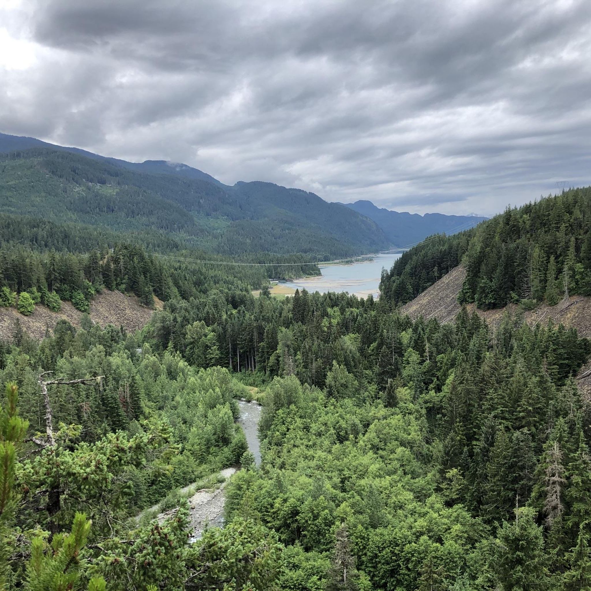
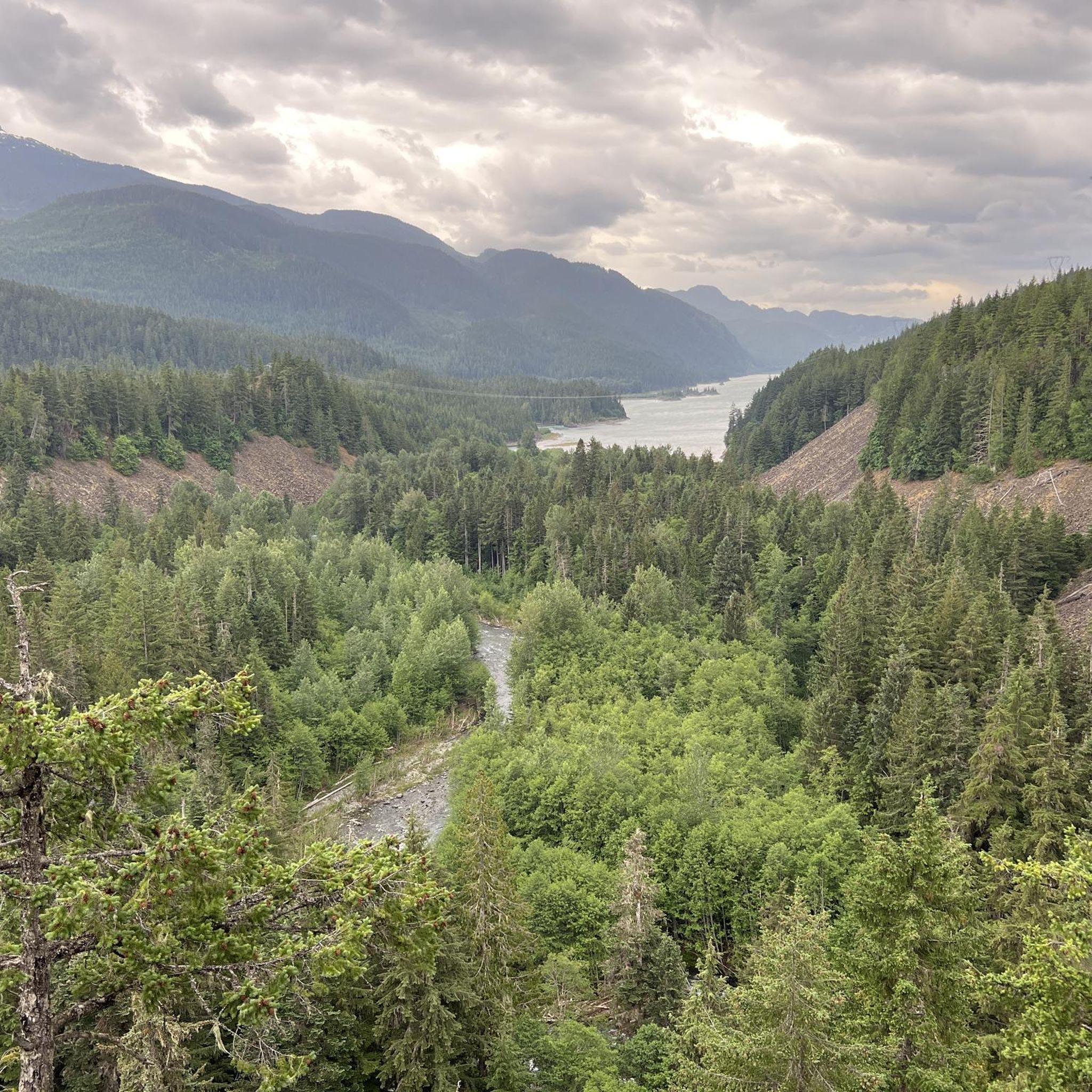
From the southern vantage point of Brandywine Falls, you have a magnificent view of Daisy Lake Reservoir and Black Tusk Mountain in the Garibaldi Ranges of the Coast Mountains. The Daisy Lake Reservoir was created in 1926 after the construction of the Cheakamus Dam; the dam was replaced in 1984. The reservoir is part of the Cheakamus Hydroelectric Power Plant on the Squamish River. https://www.bchydro.com/energy-in-bc/operations/transmission-reservoir-data/previous-reservoir-elevations/lower-mainland/daisy_lake_dsy.html
2
0
Pothole Lake is one of numerous small lakes in the landscape known as Lakes of Fire. The plain was formed by a lava flow, which created hollows that filled with water, leaving no outlet. The lake is located on the Sea-to-Sky Trail, a few meters from the Whistler Bungee Bridge, on the plain above the Cheakamus River Gorge. A table set is available for enjoying the view of the lake and taking a break. (Visit May 24, 2025)
2
0
The Cheakamus River flows south through a 50-meter-deep, densely forested rocky gorge. In the distance, we can see the striking rocky peak of The Black Tusk.
2
0
Frequently Asked Questions
How many hiking trails are available in Brandywine Falls Provincial Park?
Brandywine Falls Provincial Park offers a diverse network of over 40 hiking trails. These routes cater to various skill levels, with 17 easy, 14 moderate, and 10 difficult options to explore the park's unique landscapes.
Are there any easy hiking trails suitable for beginners or families in Brandywine Falls Provincial Park?
Yes, the park has 17 easy trails perfect for beginners and families. A popular choice is the Brandywine Falls – Brandywine Falls loop, which is 2.3 km long and offers direct views of the spectacular 70-meter falls. Another accessible option is the Whistler Bungee Bridge – Brandywine Falls loop, an easy 5.8 km path that includes a section of the Sea to Sky Trail.
What notable natural features or landmarks can I see while hiking in the park?
The park is rich in natural beauty. The most prominent feature is the spectacular Brandywine Falls, a 70-meter waterfall plunging over a volcanic escarpment. You can also enjoy panoramic views of Daisy Lake and the surrounding mountains, including Black Tusk. Other points of interest include the Whistler Bungee Bridge over the Cheakamus River, and serene spots like Swim Lake and Pothole Lake, which are formed in ancient lava fields.
Are there any circular hiking routes in Brandywine Falls Provincial Park?
Yes, many trails in the park are designed as loops. For instance, the Brandywine Falls – Brandywine Falls loop is an easy 2.3 km path offering direct views of the falls. A longer, moderate option is the Cal-Cheak Suspension Bridge – Brandywine Falls loop, which is 10.1 km and takes you through dense forest and ancient lava beds.
What do other hikers enjoy most about Brandywine Falls Provincial Park?
The komoot community highly rates the hiking experience in Brandywine Falls Provincial Park, with an average score of 4.6 out of 5 stars from over 485 reviews. Hikers frequently praise the dramatic waterfalls, the unique volcanic landscapes, and the lush, dense forests. The variety of trails, from easy walks to more challenging routes, is also a highlight for many visitors.
What is the best time of year to visit Brandywine Falls Provincial Park for hiking?
Brandywine Falls Provincial Park is accessible year-round. While summer offers pleasant conditions for hiking and exploring all trails, spring brings lush greenery and full waterfalls from snowmelt. Fall provides vibrant autumn colors, and winter allows for snowshoeing on designated trails, offering a different perspective of the park's beauty.
Are dogs allowed on the hiking trails in Brandywine Falls Provincial Park?
Generally, dogs are permitted in most BC Provincial Parks, including Brandywine Falls, but they must be on a leash at all times. It's always a good idea to check the specific park regulations on the official BC Parks website before your visit, as rules can vary or change.
Is there parking available at Brandywine Falls Provincial Park trailheads?
Yes, Brandywine Falls Provincial Park offers free parking, making it easily accessible for visitors arriving by car. The main parking area is conveniently located near the trailhead for the Brandywine Falls viewpoint and other popular routes.
Can I reach Brandywine Falls Provincial Park using public transport?
While the park is primarily accessed via Highway 99 by car, public transport options directly to the park are limited. Visitors often rely on personal vehicles or shuttle services from nearby towns like Whistler to reach the park's entrance.
Are there any challenging or difficult hikes in the park for experienced hikers?
Yes, for experienced hikers seeking a challenge, the park offers 10 difficult routes. One such trail is the Brew Lake Trail, which is a demanding 17.5 km hike with significant elevation gain, leading to stunning alpine scenery.
What kind of wildlife might I encounter on the trails?
The park provides habitat for various wildlife. While larger mammals are less commonly seen on popular trails, you might spot smaller creatures. Notably, the park is home to the red-legged frog, a provincially blue-listed species at risk, which thrives in the park's unique environment.
Are there any trails that explore the ancient lava beds mentioned in the park's description?
Yes, the park's geological history is evident in its ancient lava beds. The Cal-Cheak Suspension Bridge – Brandywine Falls loop, a 10.1 km moderate trail, leads through dense forest and these ancient lava beds, offering a unique ecological experience. The Lava Lake Trail, though not explicitly listed in the guide data, is also known to explore lakes formed by depressions in old lava fields.
Most popular routes in Brandywine Falls Provincial Park
Most popular attractions in Brandywine Falls Provincial Park

Get inspired with the komoot mobile app


Explore more
Browse the best Hikes in other regions.
