The best road cycling routes in Cima Fournier E Lago Nero
4.9
(68)
5,099
riders
29
rides
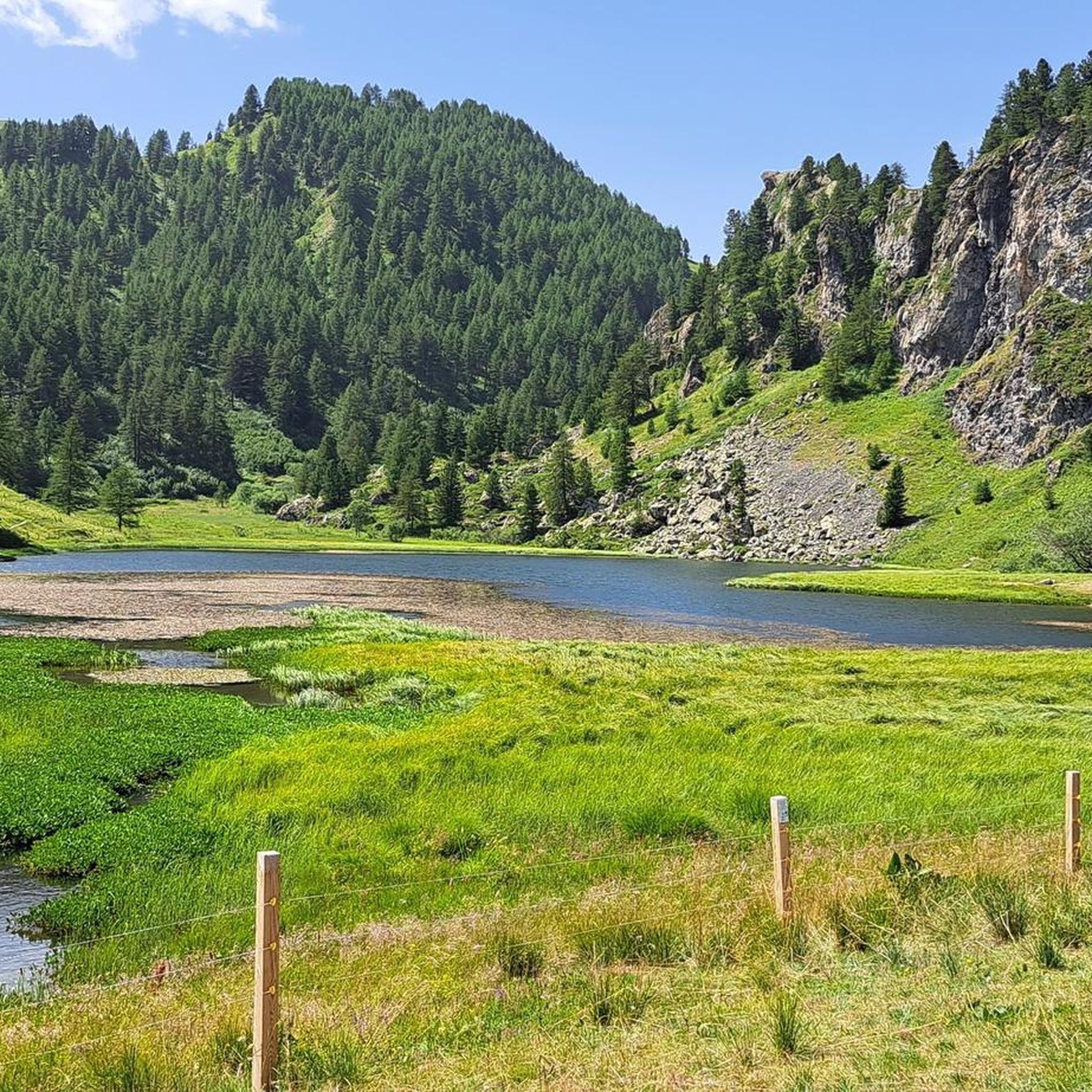
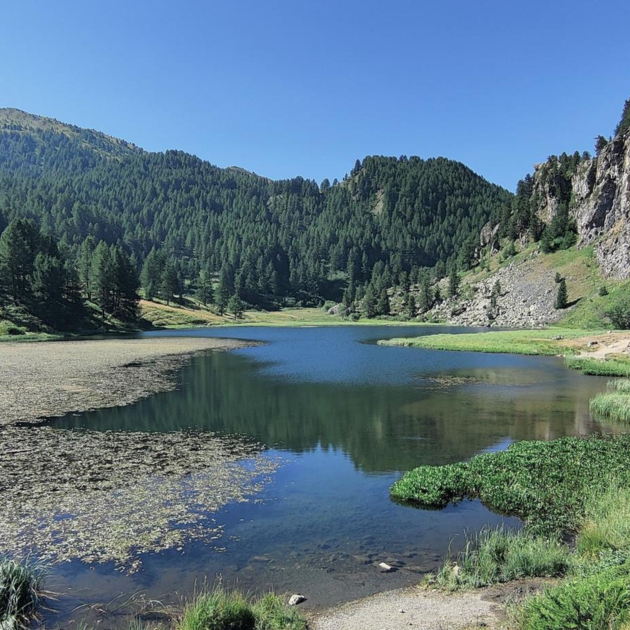
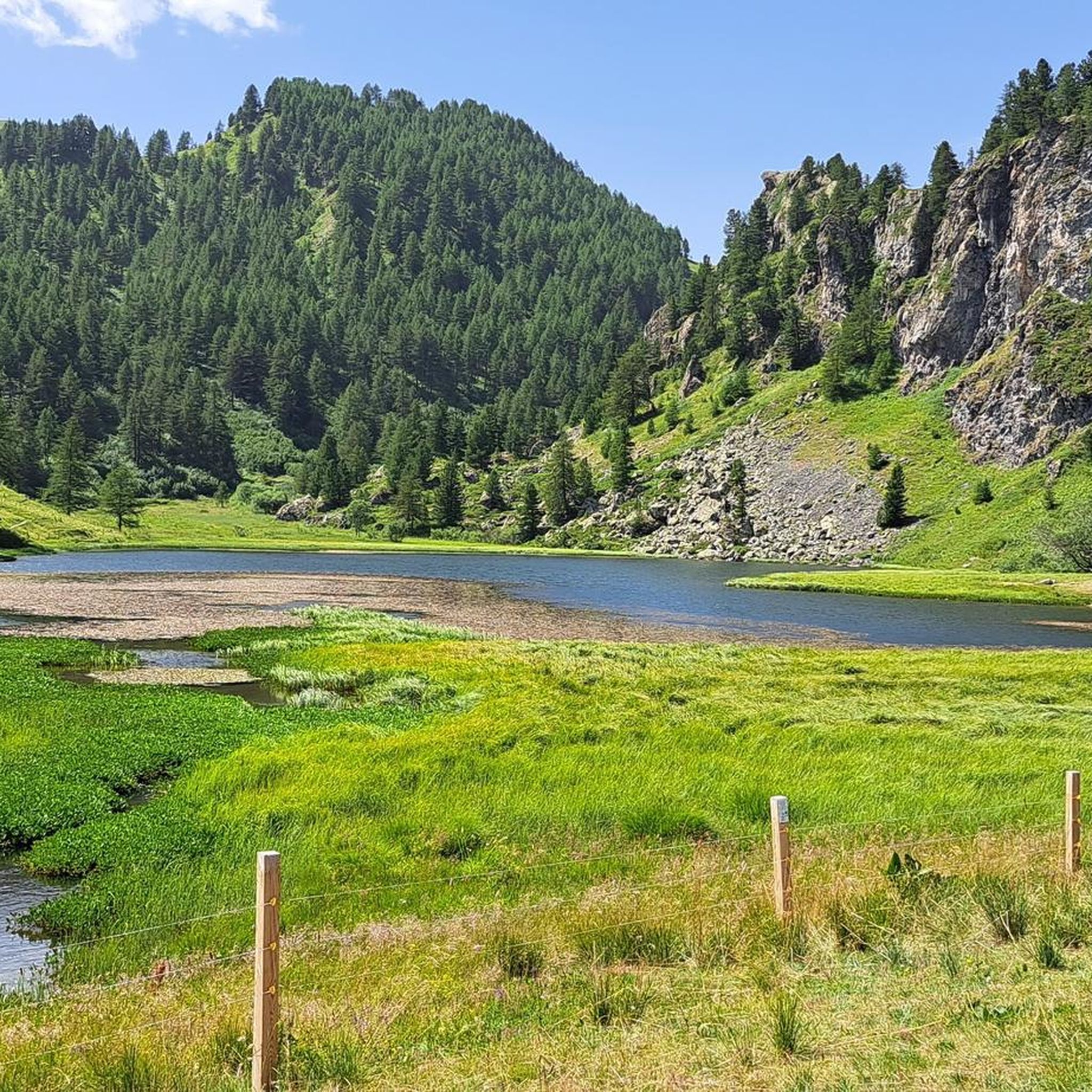
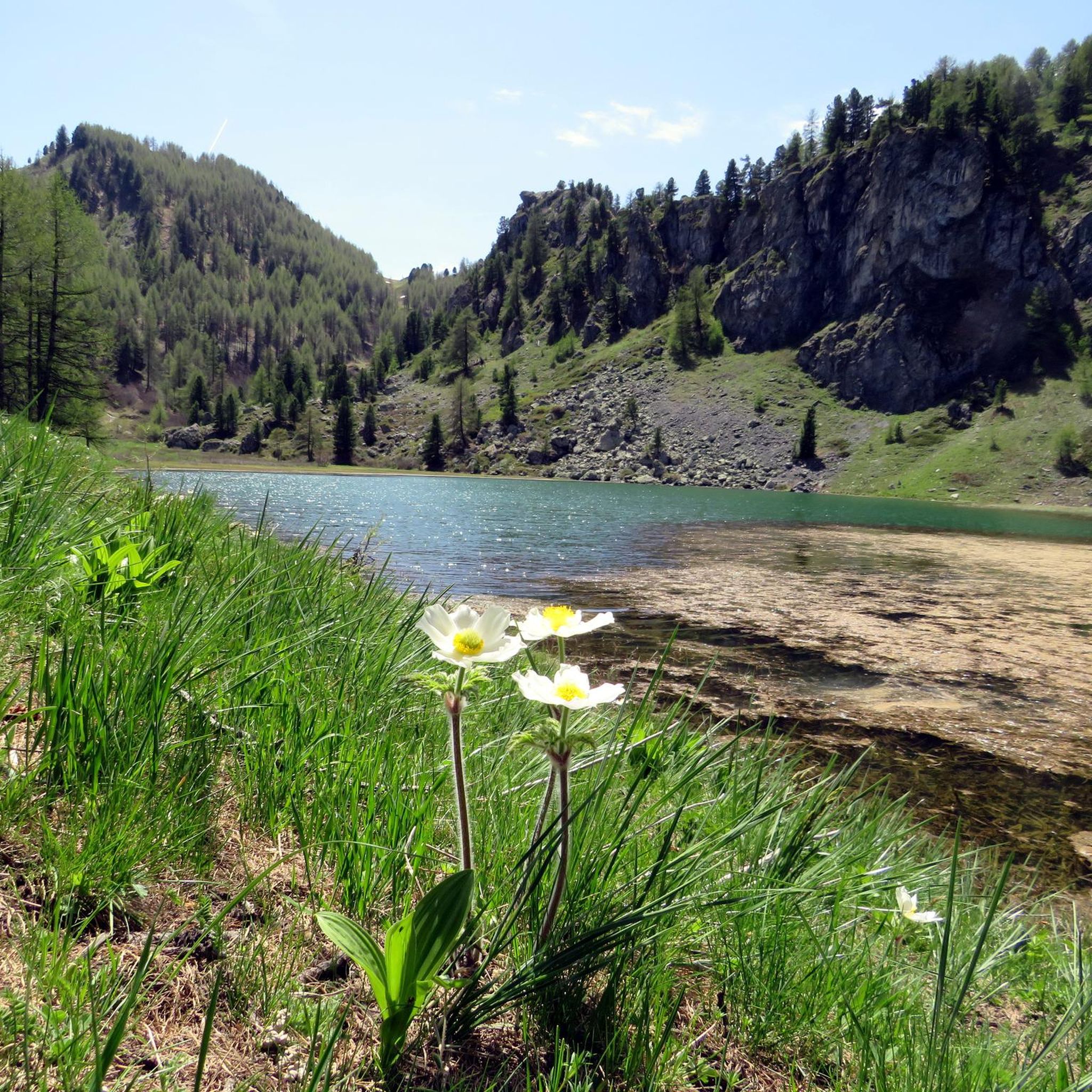
Road cycling routes in Cima Fournier E Lago Nero traverse a landscape shaped by Quaternary glaciations, featuring gently sloping hillsides, small valleys, and a network of small lakes, including Lago Nero. The region is characterized by diverse vegetation, with larch and stone pine forests covering approximately 40% of the area, alongside extensive grasslands. Peaks like Cima Fournier (2426m) and Cima Saurel (2450m) define the alpine vistas, while the erodible calcschist geology contributes to rounded slopes suitable for road cycling.
Best…
Last updated: July 28, 2026
5.0
(3)
333
riders
72.7km
05:11
2,580m
2,580m
Hard road ride. Very good fitness required. Mostly well-paved surfaces and easy to ride.
10
riders
16.0km
00:46
220m
220m
Easy road ride. Great for any fitness level. Mostly well-paved surfaces and easy to ride.

Sign up for free
38
riders
21.1km
01:20
580m
580m
Moderate road ride. Good fitness required. Mostly well-paved surfaces and easy to ride.
5.0
(4)
101
riders
26.0km
02:01
1,080m
1,090m
Hard road ride. Very good fitness required. Mostly well-paved surfaces and easy to ride.
5.0
(2)
77
riders
40.4km
02:29
980m
980m
Hard road ride. Very good fitness required. Mostly well-paved surfaces and easy to ride.
Get access to more routes and recommendations from other explorers.
Sign up for free
Already have an account?
Our route recommendations are based on thousands of hikes, rides, and runs completed by other people on komoot.
Start today with a free account
Your next adventure awaits.
Login or Signup


Tips from the Community

2360 meters is not a small amount.
1
0

The Col d’Izoard is an Alpine pass located in the French Alps, in the Hautes-Alpes department, at an altitude of about 2,360 meters. It connects the Guisane valley (towards Briançon) to the Queyras valley (towards Château-Ville-Vieille).
10
0

And the Vauban fortress. It is not a castle
0
0

Very beautiful and characteristic village inside the fortification
0
0
This mountain offers you beautiful views.
18
0

Here is the route for the ascent of the Col de Montgenèvre starting from La Vachette
3
0

The road itself is very beautiful, but the constant traffic, even heavy, unfortunately makes it not very enjoyable except in the early morning or in the evening.
4
0
For a tasty break.
14
0
Frequently Asked Questions
How many road cycling routes are available in Cima Fournier E Lago Nero?
There are over 20 road cycling routes in Cima Fournier E Lago Nero, offering a variety of experiences for different skill levels. The komoot community has rated these routes highly, with an average score of 4.5 stars.
What kind of terrain can I expect on road cycling routes in Cima Fournier E Lago Nero?
The terrain in Cima Fournier E Lago Nero is characterized by gently sloping hillsides and small valleys, shaped by Quaternary glaciations. You'll find undulating roads, offering both challenging climbs and exhilarating descents. The geology, primarily erodible calcschists, contributes to rounded, less steep slopes, making for rewarding climbs.
Are there road cycling routes suitable for beginners in Cima Fournier E Lago Nero?
Yes, Cima Fournier E Lago Nero offers routes for various abilities. For beginners, there are 3 easy routes available. A good option to warm up your legs is the To Warm Up Your Legs loop from Cesana Torinese, which is 15.5 km (9.6 miles) long.
What are some challenging road cycling routes for experienced riders?
Experienced riders will find 6 difficult routes in the region. Notable challenging options include the Briançon – Montgenèvre Pass loop from Cesana Torinese, a 81.3 km (50.5 miles) route with significant elevation, and the Col du Granon summit – Montgenèvre Pass loop from Cesana Torinese, a 72.9 km (45.3 miles) path featuring substantial elevation gain towards the Col du Granon summit.
What natural features can I see along the road cycling routes?
Road cycling routes in Cima Fournier E Lago Nero offer stunning views of glacial basins, plateaus, and a network of small lakes, including the famous Lago Nero di Bousson. You'll also pass through diverse vegetation, such as larch and stone pine forests, extensive grasslands, and rocky prairies. Peaks like Cima Saurel summit and Cima Fournier provide dramatic alpine vistas.
Are there any specific landmarks or points of interest to look out for?
Yes, beyond the natural beauty, you can encounter several points of interest. Near Lago Nero, you'll find the Capanna Mautino Mountain Hut, which can serve as a resting point. Other highlights include the Mirage Sphere by Emanuele Marullo at Cima Fournier and the Fonte Tana Abandoned Barracks and Purple Cow Mural.
What is the best season for road cycling in Cima Fournier E Lago Nero?
The best season for road cycling in Cima Fournier E Lago Nero is typically from late spring to early autumn. During these months, the weather is generally more stable, and the high-altitude roads are clear of snow, allowing full access to the scenic passes and routes. Always check local weather forecasts before heading out.
Are there any circular road cycling routes in the area?
Yes, many of the routes in Cima Fournier E Lago Nero are designed as loops, allowing you to start and finish in the same location. Examples include the Briançon – Montgenèvre Pass loop from Cesana Torinese and the View of Cesana Torinese – Montgenèvre Pass loop from Cesana Torinese.
Is Cima Fournier E Lago Nero suitable for family-friendly road cycling?
While many routes involve significant elevation, there are easier options that families might enjoy, especially those with some cycling experience. The region offers 3 easy routes, which could be suitable. Always check the route difficulty and elevation profiles to ensure it matches your family's capabilities.
Where can I find parking for road cycling routes in Cima Fournier E Lago Nero?
Many road cycling routes in Cima Fournier E Lago Nero start from towns like Cesana Torinese or Claviere. These towns typically offer public parking facilities where you can leave your vehicle. It's advisable to check specific starting points for routes on komoot for detailed parking information.
Are there cafes or accommodation options for cyclists in the region?
The broader Valsusa area, which includes Cima Fournier E Lago Nero, is popular with cyclists and offers various services. Towns like Cesana Torinese and Bousson provide cafes, restaurants, and accommodation options. The Capanna Mautino Mountain Hut near Lago Nero also serves as a resting point in the higher elevations.
What is the overall rating for road cycling in Cima Fournier E Lago Nero?
Road cycling in Cima Fournier E Lago Nero is highly regarded by the komoot community, with an average rating of 4.5 stars from over 50 reviews. More than 5000 road cyclists have explored the varied terrain using komoot, praising its glacial formations, diverse flora, and captivating alpine views.
Most popular routes in Cima Fournier E Lago Nero
Most popular attractions in Cima Fournier E Lago Nero

Get inspired with the komoot mobile app


Explore more
Browse the best Road cycling routes in other regions.
