The best walks and hikes in Cima Fournier E Lago Nero
4.6
(3430)
23,166
hikers
23
hikes
Hiking in Cima Fournier E Lago Nero offers diverse landscapes shaped by Quaternary glaciations, featuring gently sloping valleys, glacial plateaus, and numerous streams. The area is recognized as a Site of Community Importance (SIC/ZSC) due to its ecological value. Key natural features include high-altitude lakes like Lago Nero, extensive alpine grasslands, and forests dominated by larch and stone pine. The terrain provides a range of experiences from moderate paths to more challenging routes.
Best hiking trails in Cima Fournier E…
Last updated: September 28, 2026
2
hikers
12.0km
04:11
510m
510m
Moderate hike. Good fitness required. Mostly accessible paths. Sure-footedness required.
4.7
(17)
88
hikers
Moderate hike. Good fitness required. Easily-accessible paths. Suitable for all skill levels.

4.8
(6)
27
hikers
Moderate hike. Good fitness required. Mostly accessible paths. Sure-footedness required.
4.8
(4)
20
hikers
Moderate hike. Good fitness required. Mostly accessible paths. Sure-footedness required.
1.0
(1)
8
hikers
Hard hike. Very good fitness required. Mostly accessible paths. Sure-footedness required.
Get access to more routes and recommendations from other explorers.
Already have an account?
Our route recommendations are based on thousands of hikes, rides, and runs completed by other people on komoot.
Start today with a free account
Your next adventure awaits.
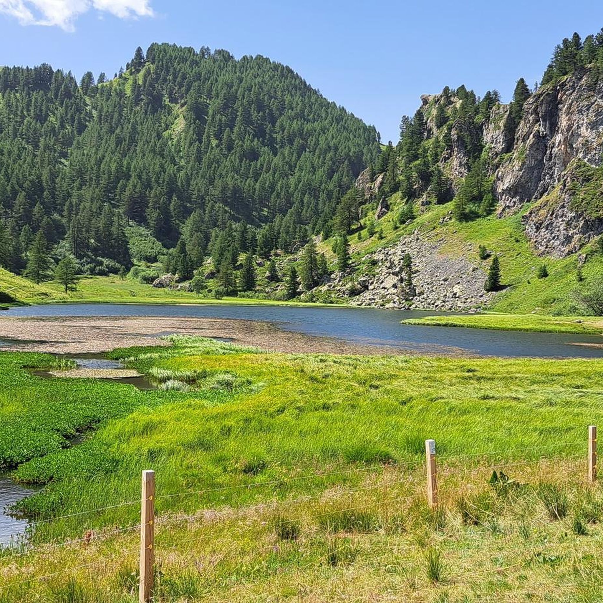
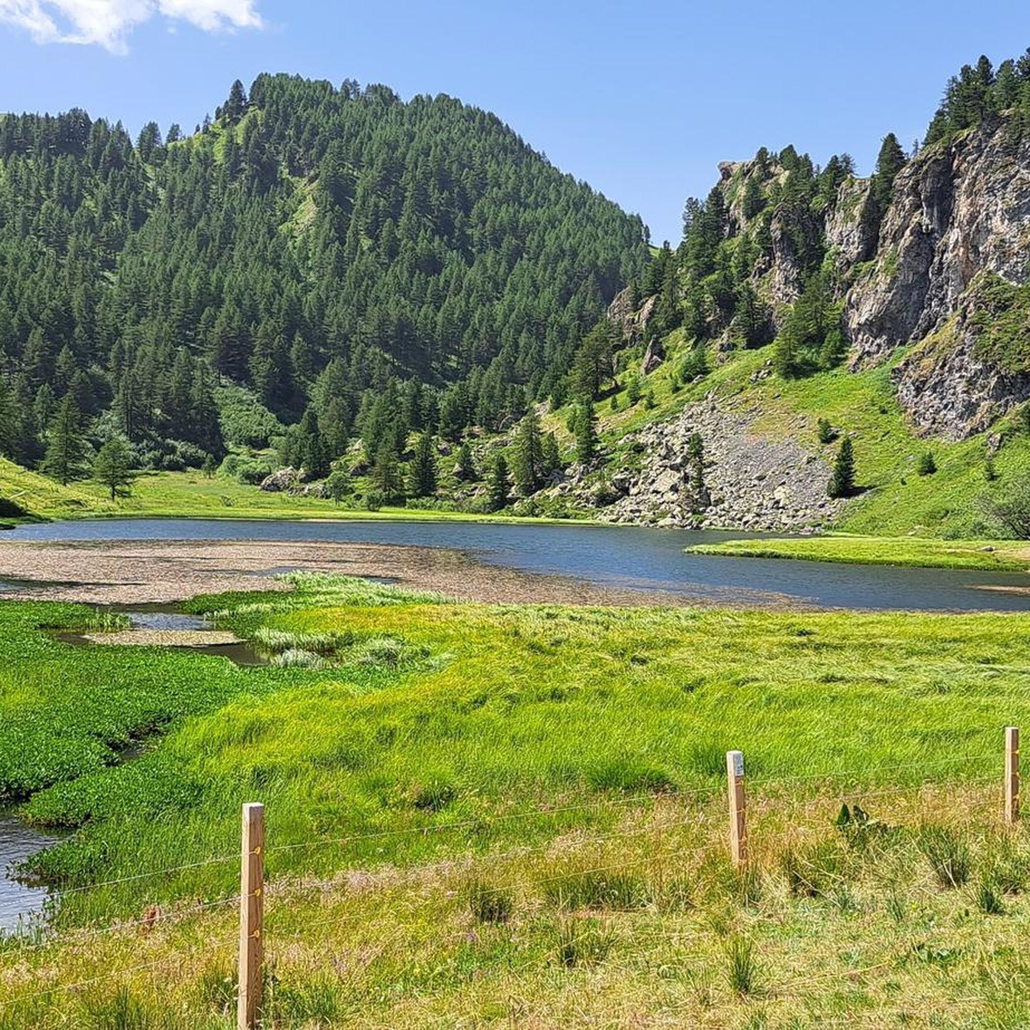
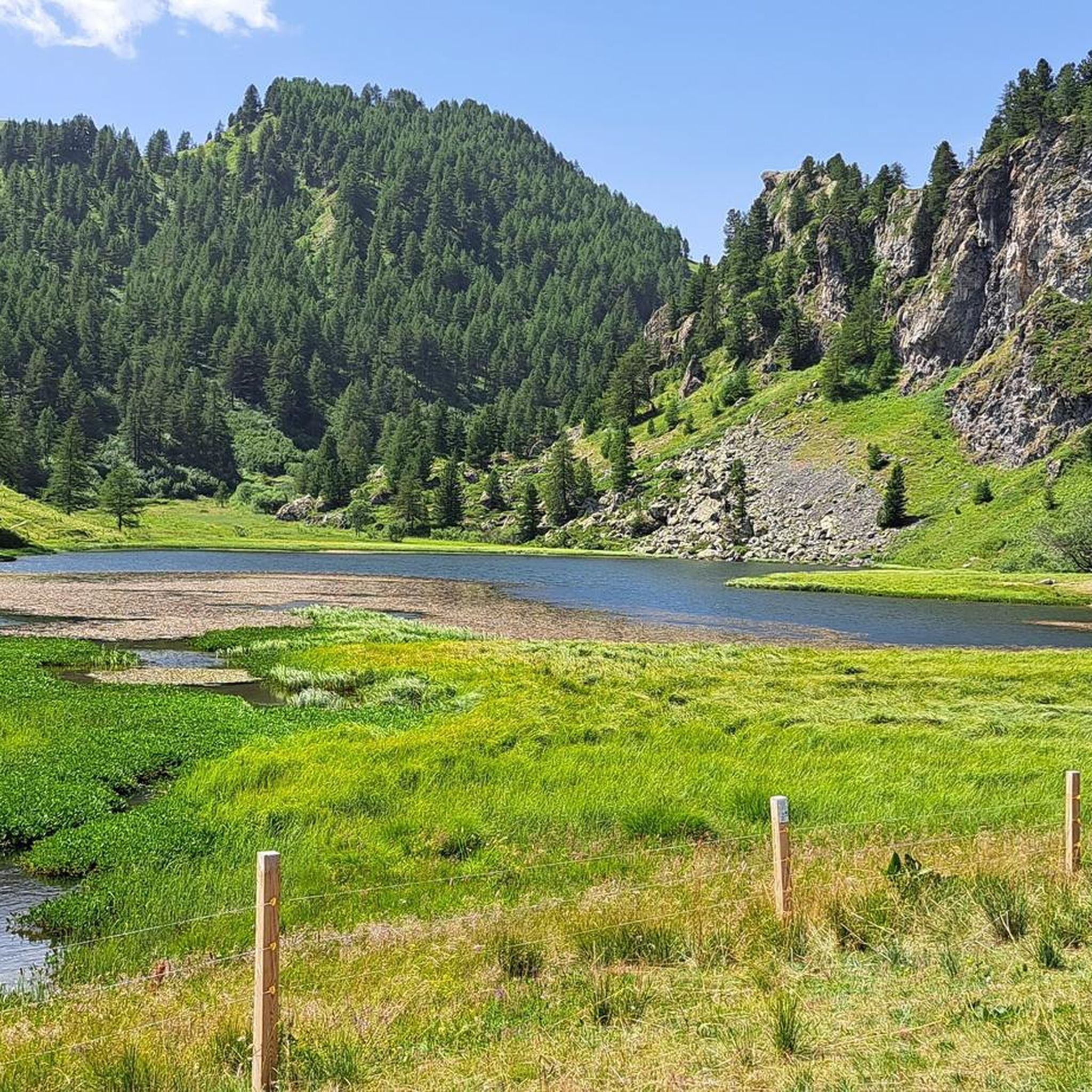
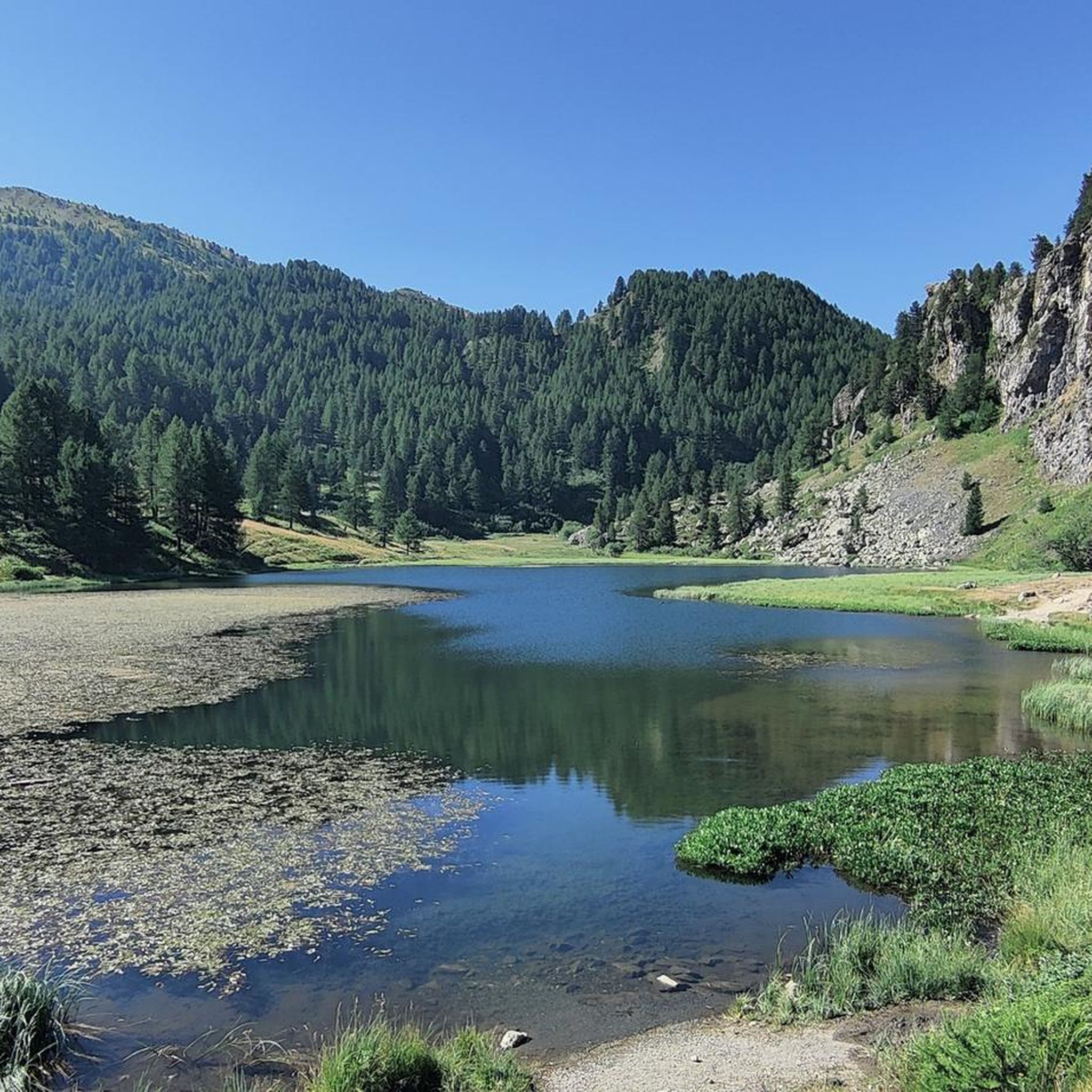


Tips from the Community

Next to the dirt road, this barracks, abandoned for years, is clearly visible. It is located shortly before the Black Lake.
0
0
Lake a few hundred meters after the Mautino Hut and before crossing to the Bousson pass
0
0

Almost at the intersection with the dirt road that climbs towards Lago Nero. It's a shame it's not used, maybe as a summer camp! Many trails around the barracks, so ideal for a stop
0
0

Former military structure, now a mountain hut. Excellent welcome, very good managers and staff. The food is good and it is welcoming. Easily reachable from Bousson
0
0

The refuge is currently closed, on the road to reach the Capanna Mautino refuge starting from Bousson
1
0
The refuge is also open in the winter. Please note that reservations are required for lunch, and dogs are not allowed inside. The food is excellent.
1
0

Very panoramic circular tour on the border between Italy and France. The climb is challenging but constant, from Monte Begino, very exposed, to Cima Fournier. Very faint track to Poggio Carabinieri, follow the GPS.
0
0

one of the barracks scattered in this border area
1
0
Frequently Asked Questions
How many hiking trails are available in Cima Fournier E Lago Nero?
Cima Fournier E Lago Nero offers a diverse network of over 20 hiking trails. These routes range from moderate paths suitable for most hikers to more challenging mountaineering routes, providing options for various fitness levels and experiences.
What kind of terrain can I expect when hiking in Cima Fournier E Lago Nero?
The terrain in Cima Fournier E Lago Nero is characterized by its glacial origins, featuring gently sloping valleys, high-altitude glacial plateaus, and numerous streams fed by springs and melting snow. You'll encounter extensive alpine grasslands, larch and stone pine forests, and areas with small lakes and wetlands, all contributing to a unique alpine environment.
Are there any circular walks in Cima Fournier E Lago Nero?
Yes, there are several excellent circular walks. For example, the Capanna Mautino Mountain Hut – Lac Gignoux loop is a moderate 6.1 km path that takes you past the Capanna Mautino mountain hut and Lac Gignoux. Another option is the Mautino Hut and Lago Nero – Clot Foiron Lakes loop, a 9 km trail exploring high-altitude lakes and the Mautino Hut.
What natural features or landmarks can I see along the trails?
The region is rich in natural beauty and interesting landmarks. You can visit the eponymous Lago Nero di Bousson, the Clot Foiron Lakes, or the serene Laghetto Suriel. Hikers can also discover the Capanna Mautino Mountain Hut, which serves as a base for exploring the surrounding peaks.
What is the best time of year to go hiking in Cima Fournier E Lago Nero?
The best time for hiking is typically during the warmer months when trails are clear of snow. However, the area is also popular for winter activities like ski mountaineering and snowshoeing, particularly for the ascent to Cima Fournier itself, which offers wide skiable areas among gentle slopes and sparse forests.
Are there any family-friendly hiking options?
Yes, some paths are easily accessible and suitable for all skill levels, including short walks and family excursions. These routes typically involve up to 2 hours of walking and around 300 meters of elevation gain, making them ideal for families looking for a less strenuous experience.
What is the difficulty level of hikes in Cima Fournier E Lago Nero?
The trails vary in difficulty. While some are moderate and suitable for most hikers, requiring good fitness, others are considered difficult and demand very good fitness, sure-footedness, sturdy mountain shoes, and alpine experience. These more challenging routes often exceed 5 hours or 900 meters of elevation gain.
What do other hikers say about the trails in Cima Fournier E Lago Nero?
The routes in Cima Fournier E Lago Nero are highly rated by the komoot community, with an average score of 4.5 stars from over 200 reviews. Hikers often praise the diverse landscapes, the beauty of the high-altitude lakes, and the well-maintained trails that offer a range of experiences from leisurely walks to challenging alpine adventures.
Are there any specific attractions or points of interest besides the natural landscapes?
Beyond the natural splendor, you can find a few points of interest. Near Lago Nero, there's a chapel dedicated to the Madonna. The area also contains remnants of military installations and connecting roads from the 19th and 20th centuries, including fortifications at Petit Cric and a carabiniere barracks near Colle Bousson, which are now part of the Alpine Wall.
What kind of wildlife and flora can I observe in the region?
Cima Fournier E Lago Nero is a Site of Community Importance (SIC/ZSC) with rich biodiversity. You might spot typical alpine mammals like marmots, chamois, deer, and even wolves. The area also hosts protected bird species such as partridges, black grouse, and golden eagles. The flora is diverse, with over 330 higher plant species, including rare and endemic Western Alpine varieties and wetland species around the lakes.
Is there a specific trail that explores the Lac des Sept Couleurs?
Yes, the Lac des Sept Couleurs Trail (via Route 633) is a popular moderate route, approximately 12 km long, that takes about 4 hours and 11 minutes to complete. This trail specifically explores the beautiful area around the Lac des Sept Couleurs.
Most popular routes in Cima Fournier E Lago Nero
Most popular attractions in Cima Fournier E Lago Nero

Get inspired with the komoot mobile app


Explore more
Browse the best Hikes in other regions.
