The best road cycling routes in Riserva Naturale Cornate E Fosini
4.7
(24)
897
riders
31
rides
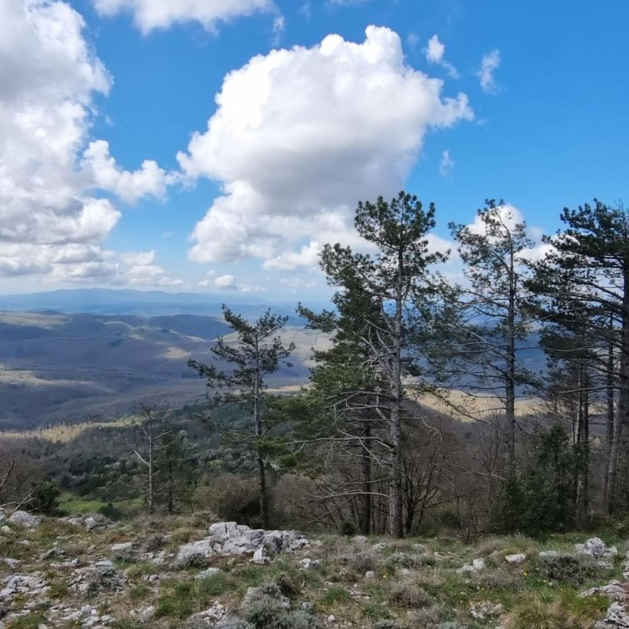
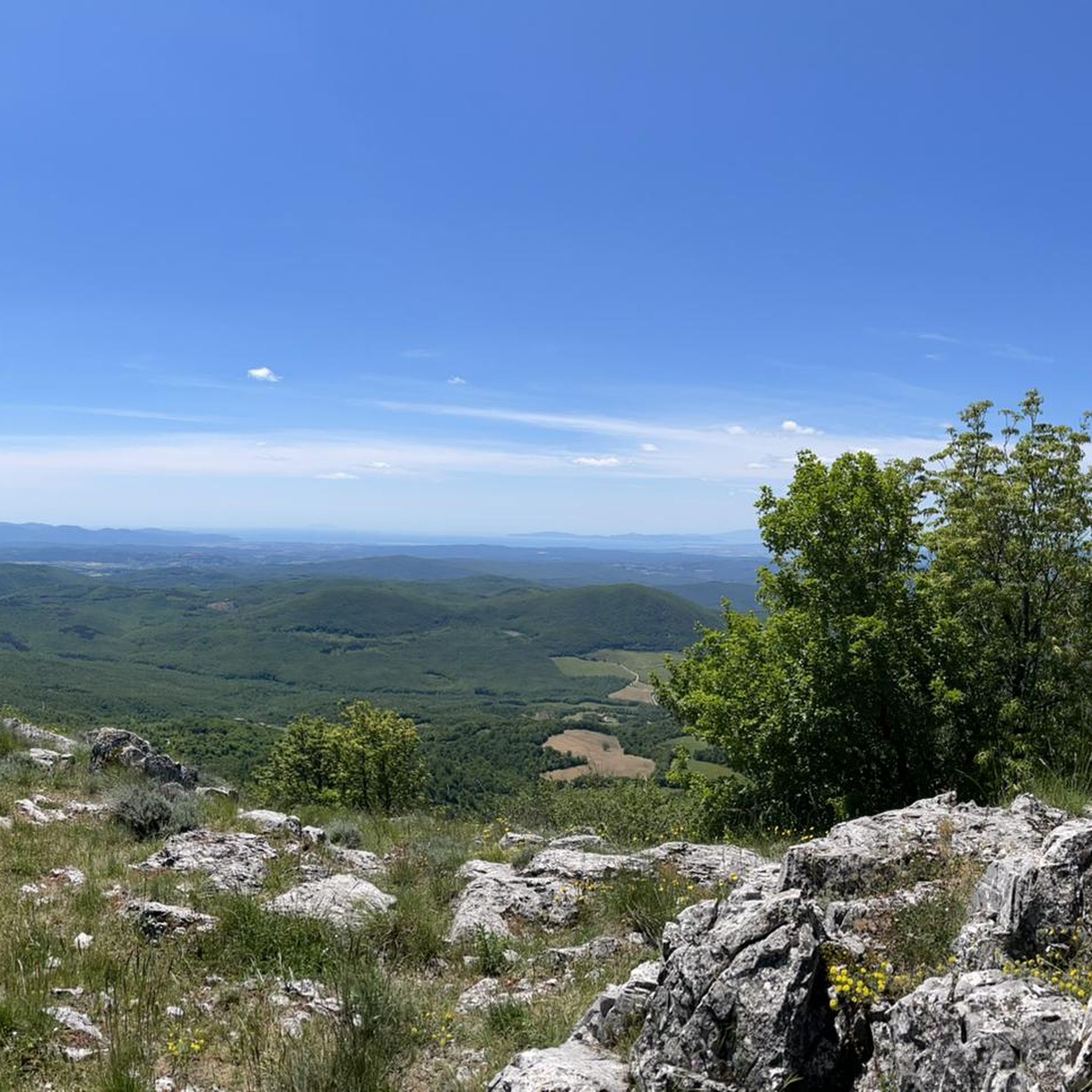
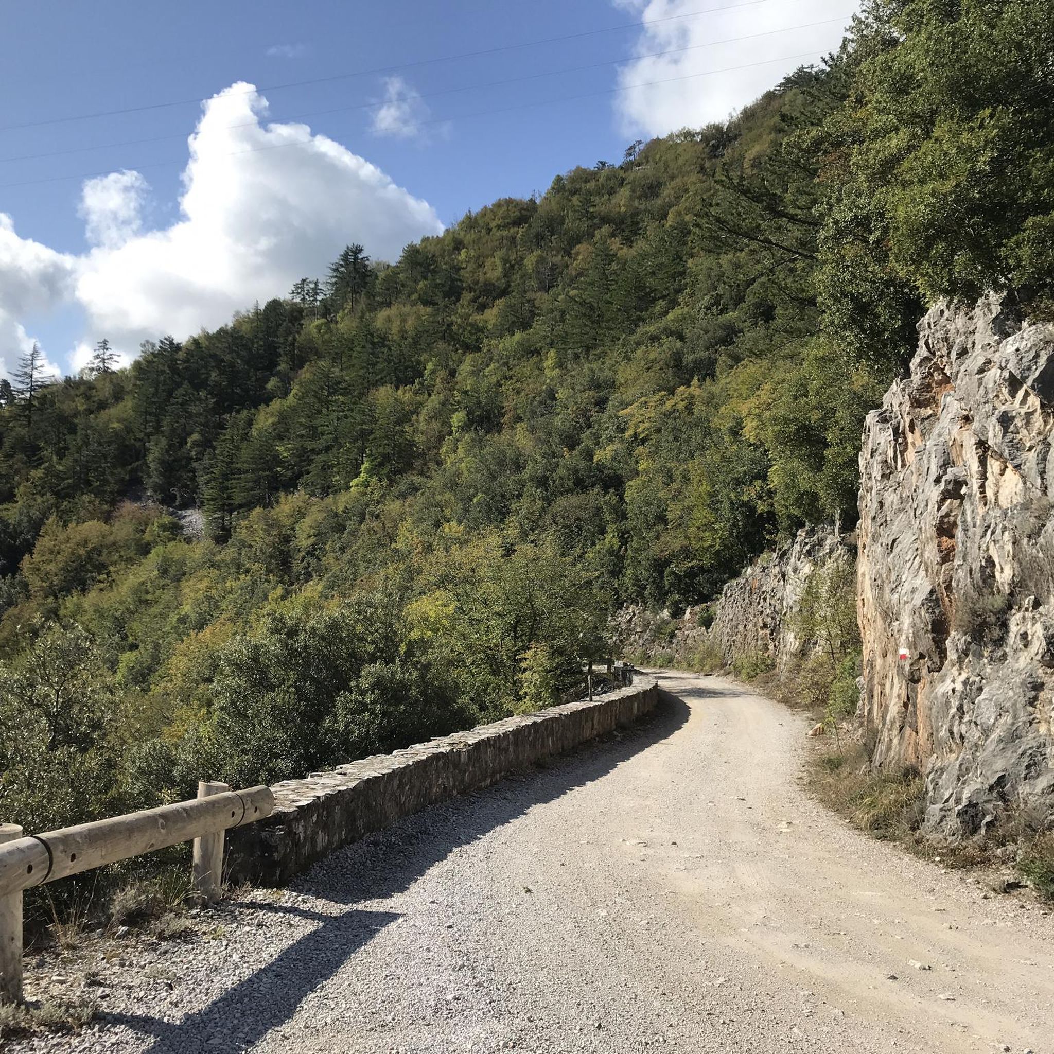
Road cycling in Riserva Naturale Cornate E Fosini offers varied terrain within the Metalliferous Hills, characterized by significant elevation changes. The region features the Cornate massif, which rises over 1,000 meters, providing challenging climbs and descents. Cyclists encounter a landscape composed of calcareous massifs, steep chalky cliffs, and diverse woodlands with hop hornbeam, Turkey oak, and ilex trees. Routes traverse valleys and wooded areas, offering a mix of demanding ascents and scenic stretches.
Best road cycling routes in Riserva Naturale Cornate E Fosini
- The most popular road cycling route is Perolla Descent – Scenic Ridge Route loop from Montieri, a 44.5 miles (71.6 km) trail that takes 3 hours 37 minutes to complete. This difficult route features significant elevation gain through the varied landscape.
- Another top favourite among local road cyclists is View of Prata – Il Barrino di Tatti loop from Montieri, a difficult 36.7 miles (59.1 km) path. This route includes substantial climbing and panoramic views of the surrounding hills.
- Local road cyclists also love the Chiusdino – Le Roste Geological Formations loop from Montieri, a 23.5 miles (37.9 km) trail leading through geological formations and wooded areas, often completed in about 2 hours 4 minutes.
- Road cycling in Riserva Naturale Cornate E Fosini is defined by calcareous massifs, dense woodlands, and significant elevation changes. The network offers options for both moderate and difficult ability levels.
- The routes in Riserva Naturale Cornate E Fosini are highly rated by the komoot community with an average score of 4.6 stars from over 30 reviews. More than 1,200 road cyclists have used komoot to explore Riserva Naturale Cornate E Fosini's varied terrain.
Last updated: August 4, 2026
11
riders
Moderate road ride. Good fitness required. Mostly well-paved surfaces and easy to ride.
5.0
(1)
25
riders
49.4km
02:54
1,150m
1,150m
Hard road ride. Very good fitness required. Mostly well-paved surfaces and easy to ride.

Sign up for free
5.0
(1)
103
riders
75.5km
03:44
1,180m
1,180m
Hard road ride. Very good fitness required. Some segments of this route may be unpaved and difficult to ride.
4.7
(3)
68
riders
77.4km
03:46
1,050m
1,050m
Hard road ride. Very good fitness required. Some segments of this route may be unpaved and difficult to ride.
5.0
(3)
47
riders
48.7km
02:37
960m
970m
Hard road ride. Very good fitness required. Mostly well-paved surfaces and easy to ride.
Get access to more routes and recommendations from other explorers.
Sign up for free
Already have an account?
Our route recommendations are based on thousands of hikes, rides, and runs completed by other people on komoot.
Start today with a free account
Your next adventure awaits.
Login or Signup

Tips from the Community

Sasso Pisano is one of the most fascinating destinations in the Devil's Valley in Tuscany, famous for its extraordinary natural geothermal manifestations, thermal waters, and characteristic medieval village.
0
0
The Sasso Pisano Sports Field is located in the Buca San Rocco area in Sasso Pisano (PI).
0
0
The Borgo di Sasso Pisano is a charming hamlet in the municipality of Castelnuovo di Val di Cecina, located in the province of Pisa, in the heart of Tuscany's evocative geothermal area.
0
0
Monteverdi Marittimo is a charming Italian municipality of about 775 inhabitants located in the province of Pisa, in Tuscany. This ancient medieval village stands in the hinterland of Maremma Pisana, perched on the southern slope of the Colline Metallifere and straddling the Val di Cecina and Val di Cornia. Certified with the prestigious Orange Flag of the Italian Touring Club, the town represents a unique meeting point between the dense Mediterranean scrub, the proximity to the sea (from which it is about 15-20 km away) and the geothermal energy of the subsoil.
1
0
The typical tavern or trattoria located right at the entrance of the village, at the top of the characteristic climb leading to Monteverdi Marittimo, is the Trattoria del Pettirosso. It is located at the beginning of the town at Via San Martino 1, a perfect location for those arriving after tackling the hairpin bends and the climb towards the village. It is a family-run establishment famous for typical Tuscan and Maremma traditional dishes. Specialties include homemade tortelli, game (such as wild boar), and rabbit stew with capers and onions.
1
0
The climb towards Monterotondo Marittimo starting from the bottom of the Val di Cornia (Strada Regionale 398) is one of the best-known and most challenging ascents in the Colline Metallifere, particularly appreciated by cyclists. The classic climb develops along the Strada Regionale 398 (SR 398) "Val di Cornia" and, depending on the variant chosen at the end, can turn into a real "wall" for expert cyclists. Starting point: Valley floor of the Val di Cornia (junction near the locality of Frassine, at about 90 meters above sea level). Arrival point: Historic center of Monterotondo Marittimo (about 530-539 meters above sea level). Total elevation gain: Approximately 450 meters distributed along the overall ascent. The Two Main Variants The classic route (SR 398): Follows the main road. The total route from the plain of Suvereto The "Wall" of Frassine (SP 136): Turning right onto the Strada Provinciale 136 "Frassine", you face the hardest and "most brutal" variant.
0
0
A medieval village in the northern Maremma, between ancient ruins, geysers and boraciferous fumaroles Lost in the Colline Metallifere, hidden among chestnut woods, stands the medieval village of Monterotondo Marittimo, which owes its name, Mons Ritundus, to the conical shape of the hill on which it stands. The territory of this municipality marks the intersection of three different provinces: Pisa, Livorno, and Grosseto. Surrounded by Mediterranean scrub, which extends towards the sea, it is a perfect destination for all lovers of clean air and natural beauty. The origin of the village is certainly medieval, demonstrated both by the characteristics of the narrow streets and by the conformation of the inhabited area, in fact the houses are built close together and the outermost dwellings were built on the defensive walls. In the territory there are also springs of bicarbonate-calcium water that gush out at 43°, used until a few years ago for thermal purposes at the Terme del Bagnolo.
0
0

beautiful area
2
0
Frequently Asked Questions
How many road cycling routes are available in Riserva Naturale Cornate E Fosini?
There are nearly 40 road cycling routes available in Riserva Naturale Cornate E Fosini, catering to various skill levels. The komoot community has explored these routes over 1,200 times.
What kind of terrain can I expect when road cycling in Riserva Naturale Cornate E Fosini?
The region offers varied terrain within the Metalliferous Hills, characterized by significant elevation changes. You'll encounter challenging climbs and descents around the Cornate massif, which rises over 1,000 meters. Routes traverse calcareous massifs, steep chalky cliffs, and diverse woodlands with hop hornbeam, Turkey oak, and ilex trees.
Are there challenging road cycling routes in Riserva Naturale Cornate E Fosini?
Yes, the reserve is known for its challenging routes. Over half of the available routes are rated as difficult, featuring substantial elevation gains. For example, the Perolla Descent – Scenic Ridge Route loop from Montieri is a difficult 44.5-mile trail with over 1,100 meters of elevation gain.
Are there easier road cycling options for beginners or less experienced cyclists?
While many routes are challenging, there are moderate options available. Approximately 16 routes are classified as moderate, offering a less strenuous experience while still allowing you to enjoy the region's beauty. The Chiusdino – Le Roste Geological Formations loop from Montieri is a moderate 23.5-mile route that takes about 2 hours to complete.
What natural features or landscapes will I see along the road cycling routes?
You'll experience impressive landscapes, including the calcareous massif of Cornate di Gerfalco with its steep chalky cliffs and grasslands. The routes also pass through diverse woodlands of hop hornbeam, Turkey oak, and ilex trees. The area is also known for its unique geological features, such as red ammonite quarries.
Are there any historical sites or landmarks to explore while road cycling?
Yes, the reserve is rich in history. You can encounter the ancient medieval fortress of Fosini Castle, and remnants of the region's mining past, including old silver mines at Poggio Mutti. The charming village of Gerfalco also serves as a historical focal point and a good starting point for exploration.
What do other road cyclists enjoy the most about road cycling in Riserva Naturale Cornate E Fosini?
The area is highly rated by the komoot community, with an average score of 4.6 stars from over 30 reviews. Cyclists often praise the varied terrain, the challenging climbs, and the panoramic views, especially from higher elevations like Cornate di Gerfalco.
Can I spot wildlife while cycling in the reserve?
Riserva Naturale Cornate E Fosini is home to a rich biodiversity. You might spot wildcats, martens, roe deer, fallow deer, and porcupines. Birdwatchers could also see rare species such as the peregrine falcon, lanner falcon, and short-toed eagle.
Are there any routes that offer panoramic views?
Absolutely. Many routes offer stunning vistas. The panoramic views from the top of Cornate di Gerfalco extend over the Gulf of Follonica and some islands of the Tuscan Archipelago. The View of Prata – Il Barrino di Tatti loop from Montieri is a difficult route specifically noted for its panoramic views of the surrounding hills.
What is the best time of year for road cycling in Riserva Naturale Cornate E Fosini?
Spring and autumn are generally considered the best seasons for road cycling in Tuscany, including Riserva Naturale Cornate E Fosini. The weather is typically milder, and the landscapes are particularly vibrant, making for a more comfortable and scenic experience.
Are there any long-distance road cycling routes for experienced riders?
Yes, for experienced riders seeking longer distances, routes like the Monteriggioni Castle – Monteriggioni Medieval Village loop from Montieri offer a significant challenge. This difficult route spans over 75 miles (121 km) with nearly 1,700 meters of elevation gain.
Are there any road cycling routes that pass through notable towns or villages?
Yes, some routes connect to or pass near charming local villages. The village of Gerfalco is a natural starting point for many explorations. Additionally, routes like the Volterra – From Saline to Volterra loop from Castelnuovo di Val di Cecina can take you through or near historic towns like Volterra, offering cultural stops along your ride.
Most popular routes in Riserva Naturale Cornate E Fosini

Get inspired with the komoot mobile app


Explore more
Browse the best Road cycling routes in other regions.
