Réserve Biologique Dirigée De Laverq
Réserve Biologique Dirigée De Laverq
The best running trails in Réserve Biologique Dirigée De Laverq
4.4
(28)
1,112
runners
51
runs
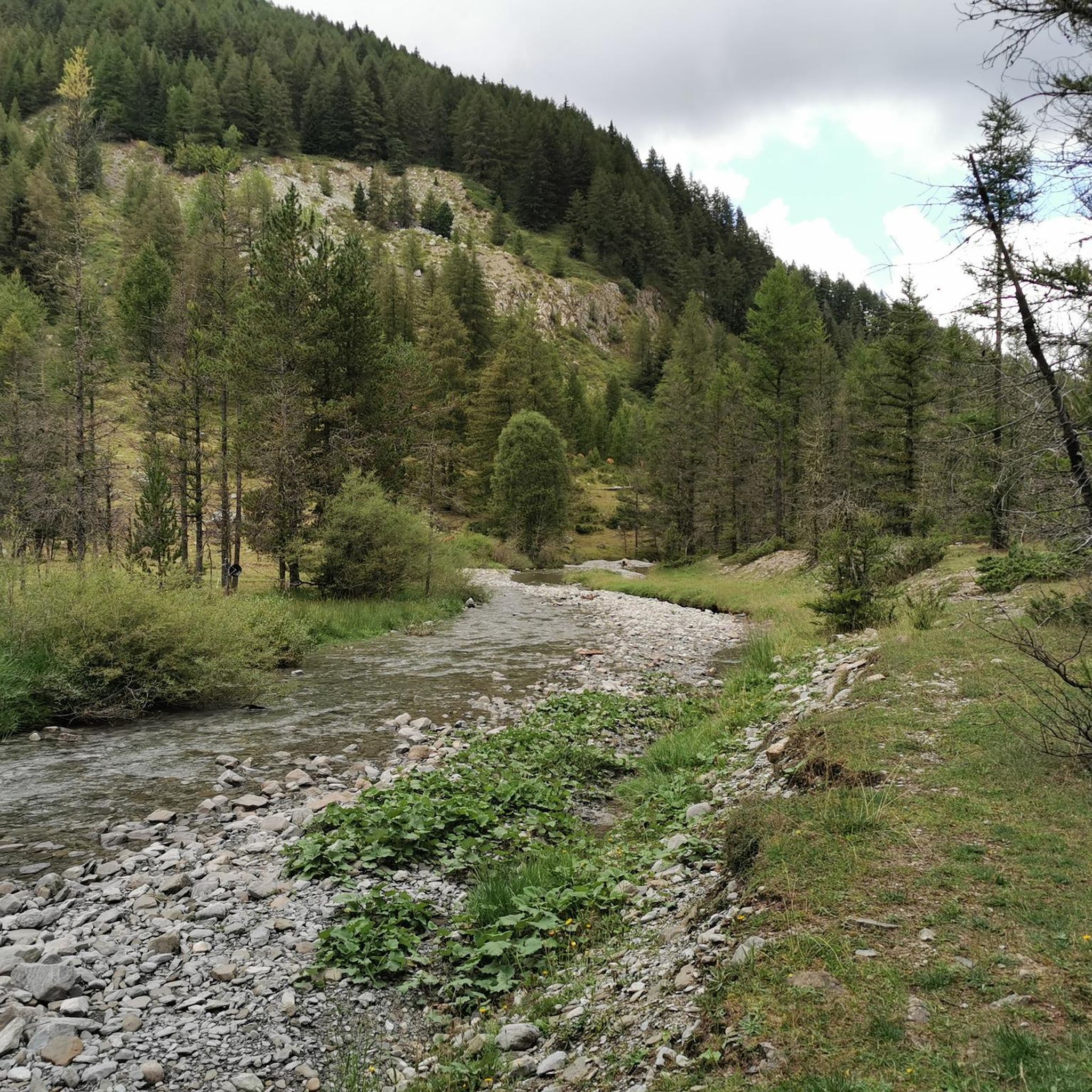
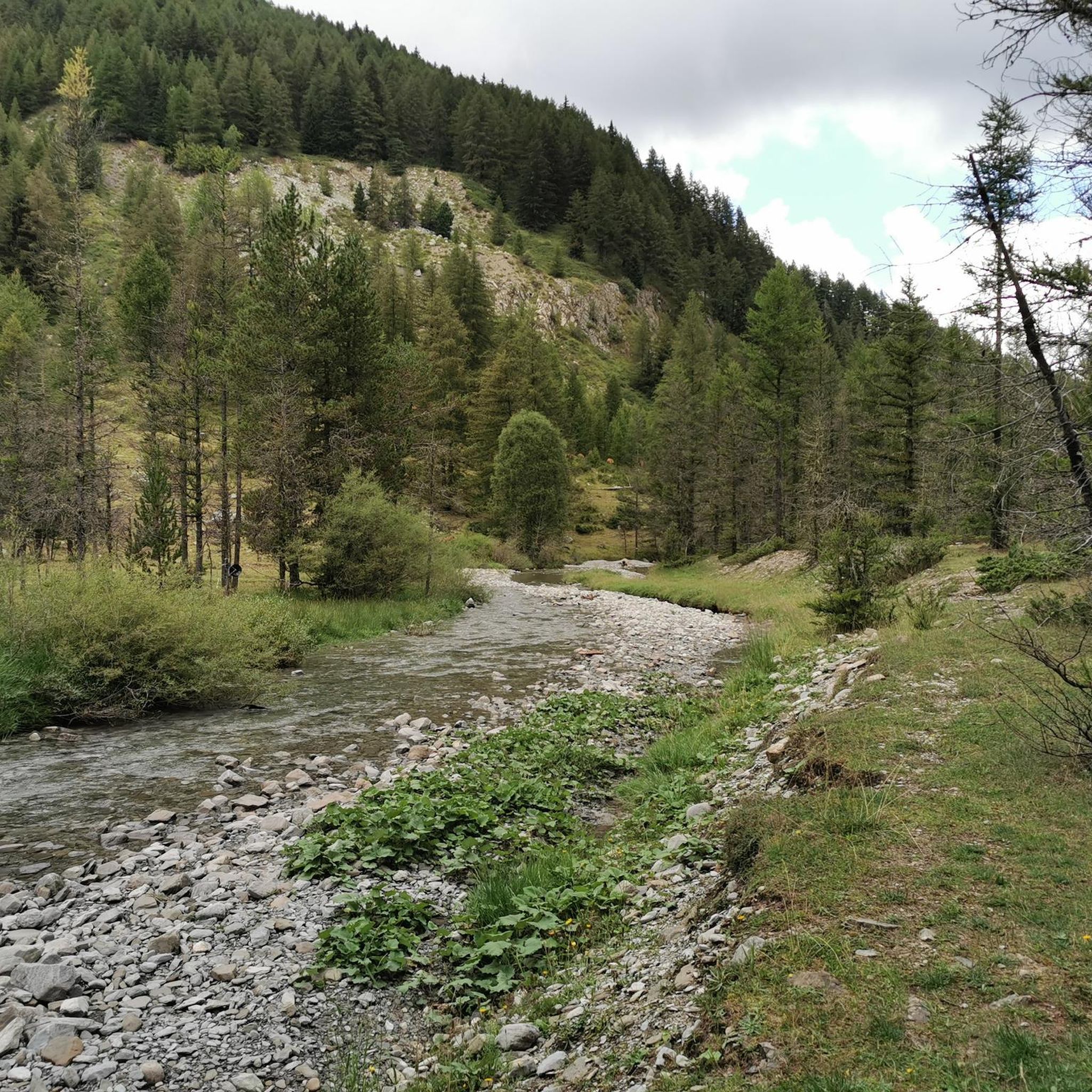
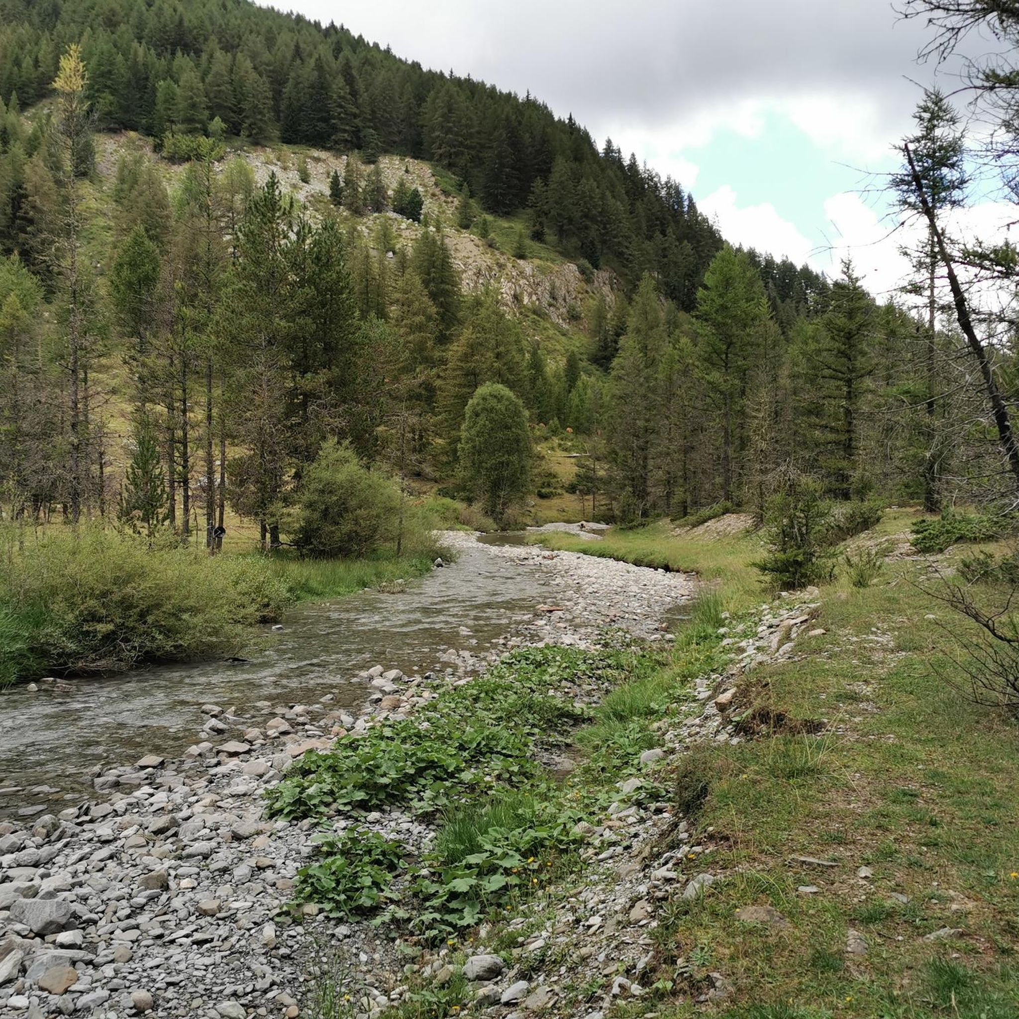
Jogging routes in Réserve Biologique Dirigée De Laverq traverse a varied landscape within the Alpes-de-Haute-Provence department. The region features diverse forests, including larch forests, and ancient glacial valleys that lead to high mountain environments. Notable natural features include the Eaux Tortes wetland, characterized by a peat bog and unique flora. The terrain offers varied elevations and panoramic views of surrounding massifs such as Grande Séolane and Tête de l'Estrop.
Best jogging routes in Réserve Biologique Dirigée De Laverq
- The most…
Last updated: October 2, 2026
40
runners
14.1km
01:39
470m
470m
Hard run. Very good fitness required. Mostly paved surfaces. Suitable for all skill levels.
28
runners
8.93km
01:17
380m
380m
Hard run. Very good fitness required. Mostly paved surfaces. Suitable for all skill levels.

28
runners
11.9km
01:53
750m
750m
Hard run. Very good fitness required. Sure-footedness, sturdy shoes and alpine experience required.
32
runners
12.5km
02:17
1,020m
1,020m
Hard run. Very good fitness required. Mostly paved surfaces. Suitable for all skill levels.
17
runners
15.4km
02:28
850m
850m
Hard run. Very good fitness required. Sure-footedness, sturdy shoes and alpine experience required.
Get access to more routes and recommendations from other explorers.
Already have an account?
Our route recommendations are based on thousands of hikes, rides, and runs completed by other people on komoot.
Start today with a free account
Your next adventure awaits.
Popular around Réserve Biologique Dirigée De Laverq
Tips from the Community

The road from the direction of Barcelonette is currently (July 2024) completely closed due to rockfalls.
5
0

The Col d'Allos is located at an altitude of 2,250 meters. It connects the Ubaye valley to the Verdon valley. Integrated into the Route des Grandes Alpes, it is a favorite of cyclists, and has also been part of 34 Tours de France.
0
0

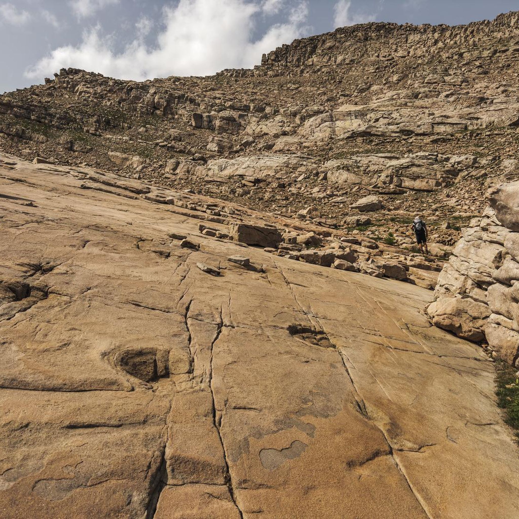
Located at 2575 meters, Tête de la Sestrière offers a beautiful panorama of the valleys below and the mountains that surround it. A magnificent hike from Laverq!
1
0

South side (from Colmars) the road is wide and quite busy until Allos. We oscillate from 1 to 3% on a fairly rolling surface. From Allos, the road narrows but the slope remains moderate until La Foux. From the top of La Foux, we begin the last part of the ascent, the steepest but also the most beautiful. We are permanently between 6 and 8% for about 5km in superb landscapes. On the north side (from Barcelonette) the ascent is long, around 20 km, and regular, between 5 and 7%. The decorations are also sumptuous. In my opinion this is the hardest part because it offers almost no respite. Be careful on the descent: towards La Foux the road is beautiful but very technical and towards Barcelonette the surface is embossed in places, the ravines are very deep and the bends are technical. The descent to Barcelonette is renowned for its dangerousness. Caution...
7
0

It's hyyyyyyper beautiful! I recommend the Allos Champs Cayolle sequence
3
0
At an altitude of 2,575 meters, the Tête de la Sestrière offers a superb 360-degree panorama of the Laverq valley, the Agneliers valley and the summits of Petite Séolane and Grande Séolane, Tête de l'Estrop and the Three Bishoprics.
2
0
The Col d'Allos is located at an altitude of 2,250 meters. It connects the Ubaye valley to that of the Verdon. Integrated into the Route des Grandes Alpes, it is a favorite of cyclists, and has also been part of 34 Tours de France.
1
0

Superb hike starting from La Foux d'Allos, in the middle of marmots and herds (be careful with dogs). Magnificent panorama at the top.
2
0
Frequently Asked Questions
How many running routes are available in Réserve Biologique Dirigée De Laverq?
There are over 50 dedicated running routes in Réserve Biologique Dirigée De Laverq, offering a wide range of options for different skill levels and preferences. These trails traverse diverse landscapes, from dense forests to high mountain environments.
What kind of terrain can I expect on the jogging trails in Réserve Biologique Dirigée De Laverq?
The terrain in Réserve Biologique Dirigée De Laverq is quite varied. You'll encounter diverse forests, including remarkable larch forests, as well as ancient glacial valleys and high mountain environments. Many routes feature significant elevation changes, providing a challenging and rewarding experience through alpine landscapes.
Are there any easy or beginner-friendly jogging routes in the reserve?
While many routes in Réserve Biologique Dirigée De Laverq are rated as difficult due to elevation gain and mountain terrain, there are options that can be more accessible. For example, the Lac des Grenouilles loop from La Foux d'Allos is a 4.3-mile (6.9 km) trail that, while still in mountain scenery, is a popular choice for local runners and can be completed in about an hour.
What natural features or landmarks can I see while running in Réserve Biologique Dirigée De Laverq?
The reserve is rich in natural beauty. You can explore the significant Eaux Tortes wetland, characterized by a unique peat bog and specific flora like cotton grass. The trails also offer panoramic views of surrounding massifs such as Grande Séolane, Tête de l'Estrop, and the Trois Évêchés. Notable points of interest include Tête de la Sestrière and Tête de l'Estrop.
Are there any circular running routes available?
Yes, many of the running paths in Réserve Biologique Dirigée De Laverq are circular, allowing you to start and finish at the same point. Examples include the popular Col d'Allos – Allos Pass loop from La Foux d'Allos and the Tête de la Sestrière loop from Quartier des Étoiles.
What do other runners enjoy most about the trails in Réserve Biologique Dirigée De Laverq?
The running routes in Réserve Biologique Dirigée De Laverq are highly rated by the komoot community, with an average score of 3.7 stars from 19 reviews. Runners often praise the diverse forests, alpine valleys, and the challenging yet rewarding high mountain environments, as well as the breathtaking panoramic views.
Is Réserve Biologique Dirigée De Laverq suitable for family-friendly jogging?
While the region offers varied terrain, many routes feature significant elevation and can be challenging. For families, it's advisable to choose shorter, less strenuous sections, particularly those that might be closer to accessible points or have less steep inclines. Always check the route details for elevation and distance to ensure it matches your family's fitness level.
Can I bring my dog on the running trails in the reserve?
Réserve Biologique Dirigée De Laverq is a protected natural area. While specific regulations for dogs on all trails can vary, it's generally recommended to keep dogs on a leash to protect the local wildlife and fragile ecosystems, especially in areas like the Eaux Tortes wetland. Always check local signage and regulations before heading out with your pet.
What is the best time of year for trail running in Réserve Biologique Dirigée De Laverq?
The best time for trail running typically depends on the specific conditions. During summer, the Eaux Tortes wetland can dry out, but the diverse forests provide shaded routes. The alpine and glacial features mean that higher elevation trails might be snow-covered or challenging outside of late spring to early autumn. Always check local weather and trail conditions before your run.
Are there any cafes or amenities near the jogging routes?
The region is a natural reserve, so amenities like cafes might be limited directly on the trails. However, towns and villages near the reserve, such as La Foux d'Allos, which is a common starting point for several routes, would offer options for refreshments and other services. It's always a good idea to carry sufficient water and snacks.
Is public transport available to access the running trails?
Information on specific public transport links directly to trailheads within the Réserve Biologique Dirigée De Laverq is not readily available. Access to such natural and often remote areas in the Alpes-de-Haute-Provence department typically relies on personal vehicles. It's advisable to research local bus services to nearby towns like La Foux d'Allos and plan your route from there.
Are there any permits required to jog in Réserve Biologique Dirigée De Laverq?
Réserve Biologique Dirigée De Laverq is a protected biological reserve. While general access for activities like jogging is usually permitted, specific regulations might apply to certain sensitive areas, especially within the Eaux Tortes wetland where a dedicated discovery trail is in place to minimize disturbance. There are no indications of general permits required for jogging, but always respect local conservation rules and signage.
Most popular routes in Réserve Biologique Dirigée De Laverq
Most popular attractions in Réserve Biologique Dirigée De Laverq

Get inspired with the komoot mobile app


Explore more
Browse the best Running Trails & Routes in other regions.
