Réserve Naturelle Du Pourra - Domaine Du Ranquet
Réserve Naturelle Du Pourra - Domaine Du Ranquet
The best running trails in Réserve Naturelle Du Pourra - Domaine Du Ranquet
4.1
(143)
4,372
runners
190
runs
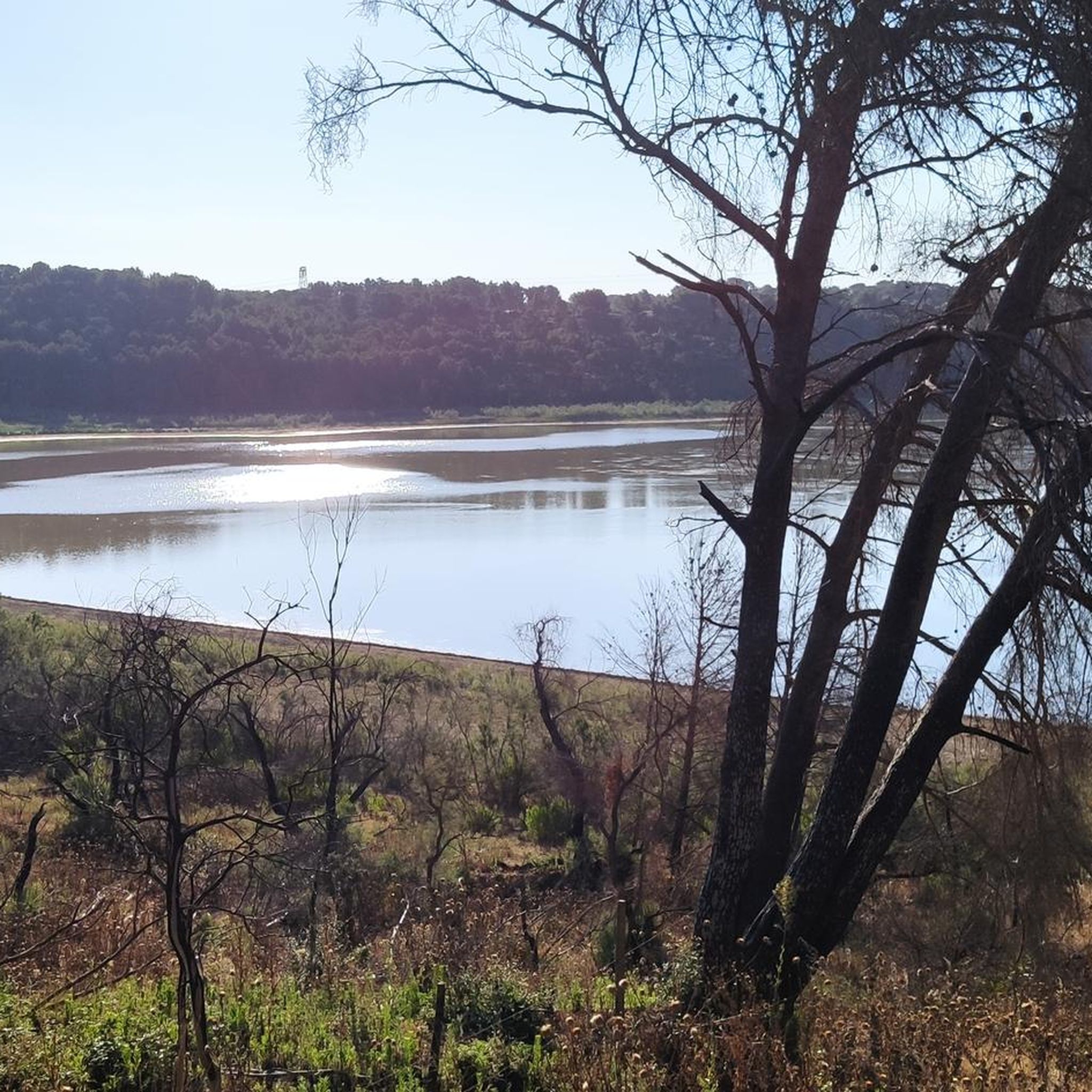
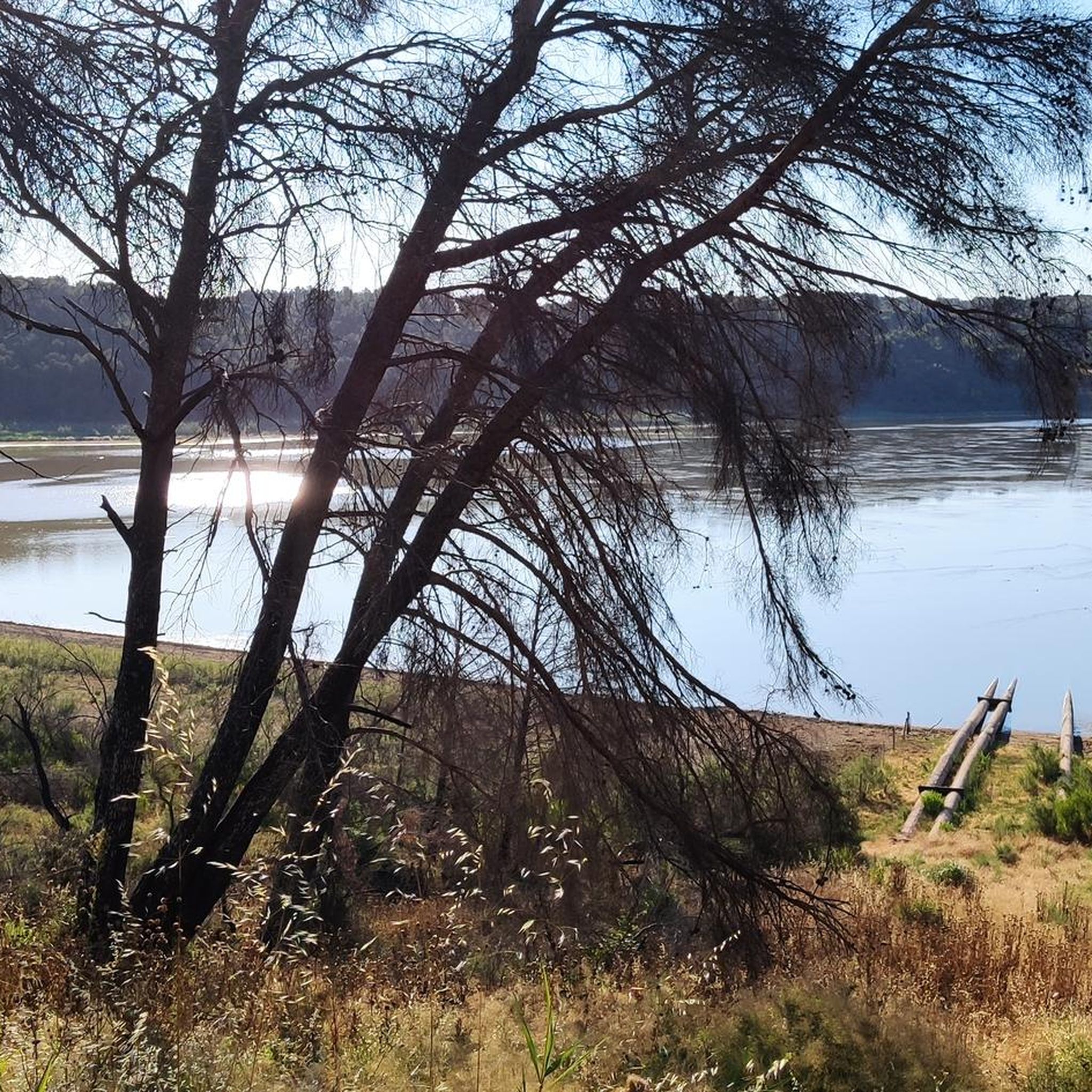
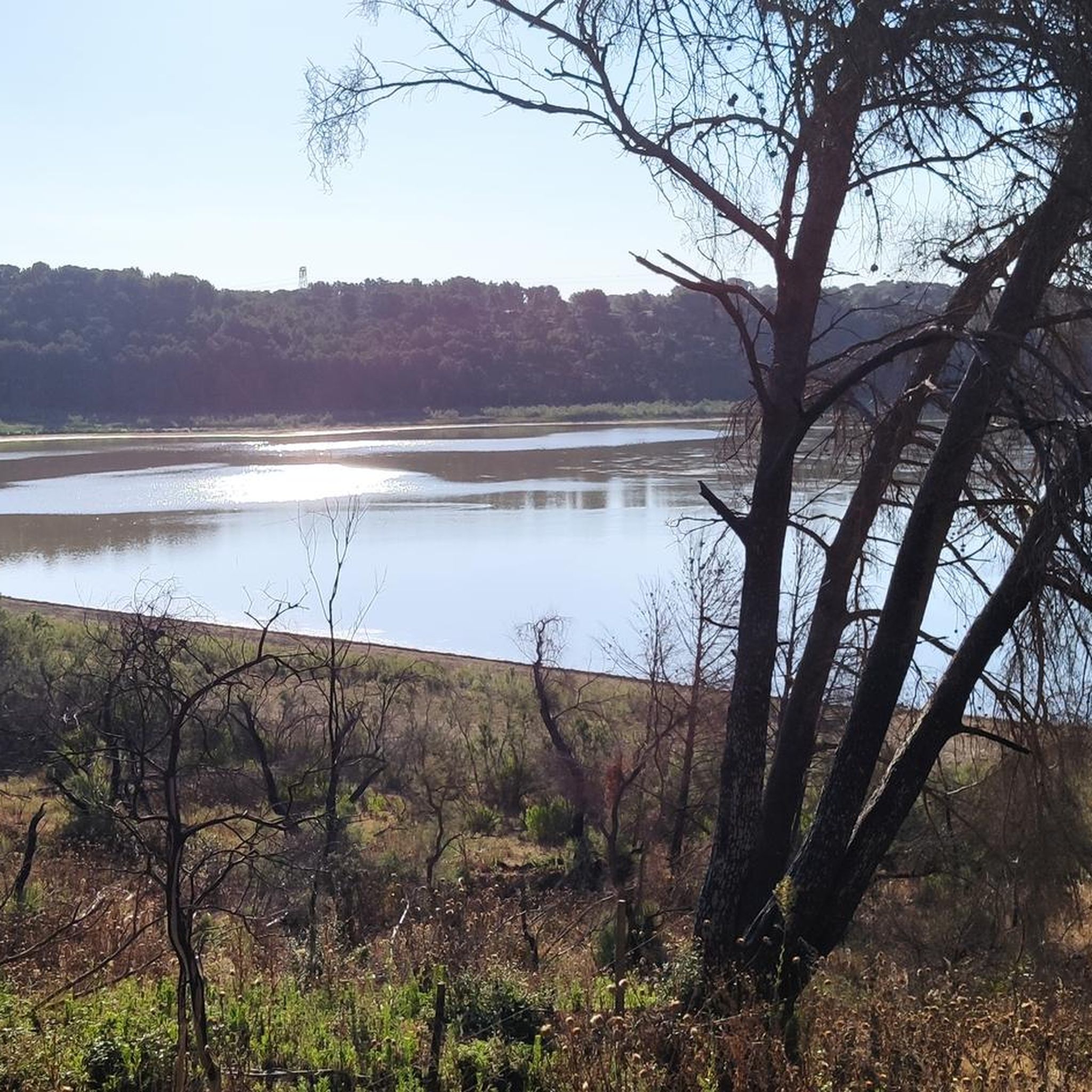
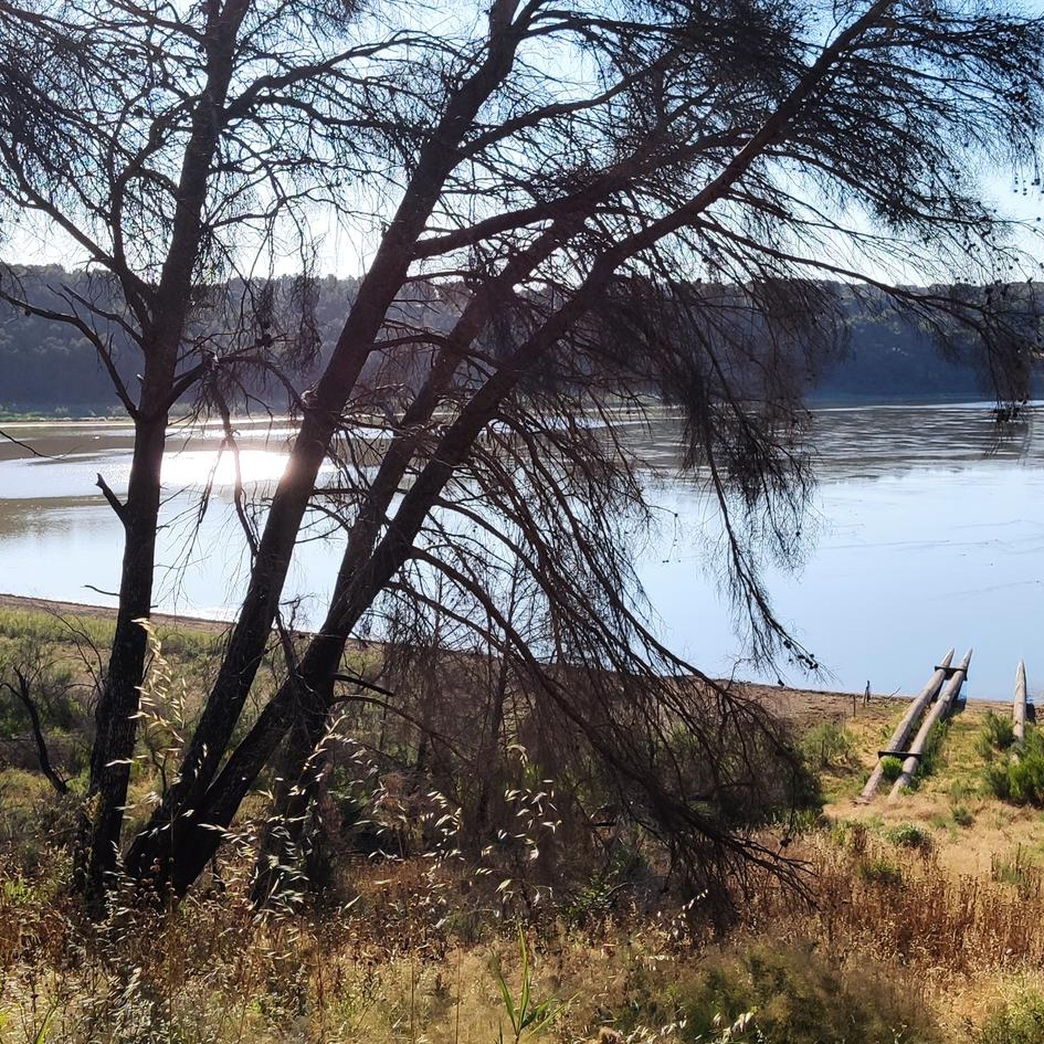
Jogging in Réserve Naturelle Du Pourra - Domaine Du Ranquet offers diverse landscapes, centered around the large coastal Étang du Pourra and the freshwater Étang de Citis. The region is characterized by its natural reserve status, featuring a mix of open areas, coniferous forests, and marshlands. Running routes often include gentle hills and paths around these ponds, providing varied terrain. Historical sites like the Oppidum de Saint-Blaise add a cultural dimension to outdoor activities.
Best jogging routes in Réserve Naturelle…
Last updated: August 1, 2026
2.0
(1)
40
runners
7.10km
00:52
50m
50m
Moderate run. Good fitness required. Mostly paved surfaces. Suitable for all skill levels.
6
runners
Moderate run. Good fitness required. Mostly paved surfaces. Suitable for all skill levels.

Sign up for free
5
runners
Moderate run. Good fitness required. Mostly paved surfaces. Suitable for all skill levels.
85
runners
Moderate run. Good fitness required. Mostly paved surfaces. Suitable for all skill levels.
44
runners
9.19km
01:08
100m
100m
Moderate run. Good fitness required. Mostly paved surfaces. Suitable for all skill levels.
Get access to more routes and recommendations from other explorers.
Sign up for free
Already have an account?
Our route recommendations are based on thousands of hikes, rides, and runs completed by other people on komoot.
Start today with a free account
Your next adventure awaits.
Login or Signup
Popular around Réserve Naturelle Du Pourra - Domaine Du Ranquet
Road Cycling Routes in Réserve Naturelle Du Pourra - Domaine Du Ranquet
MTB Trails in Réserve Naturelle Du Pourra - Domaine Du Ranquet
Hiking in Réserve Naturelle Du Pourra - Domaine Du Ranquet
Cycling in Réserve Naturelle Du Pourra - Domaine Du Ranquet

Gravel biking in Réserve Naturelle Du Pourra - Domaine Du Ranquet
Tips from the Community

U-turn in the oppidum because it is surrounded by fence then impassable path in the descent above the Etang du Pourra, charred trees and many branches on the way... So some parts to avoid especially in VAE ...
2
0

A magnificent chapel and a high place of local archeology to visit which also offers magnificent views of the surrounding ponds and the town of Istres! Unavoidable !
4
0

Around the archaeological site of Saint Blaise are several hundred rock tombs dating back to the 5th century.
4
1
The oppidum of Saint-Blaise is one of the region's most important archaeological sites. Here the traces of human settlement reach back to the 5th millennium BC. Salt was traded on the Opidium in the 7th century. A very exciting destination! The oppidum can be visited free of charge from Tuesday to Sunday. From the 1st of June to the 30th of September the visit is limited due to forest fire danger. Whether the visit is approved can always be requested the day before. Information can be obtained from the Tourist Office of the Département on 0 811 20 13 13.
4
2

The oppidum of Saint-Blaise is a major archaeological site in the western Mediterranean, located in the town of Saint-Miter-les-Remparts, near Fos-sur-Mer, in the Bouches-du-Rhône. The site can be visited for free from Tuesday to Sunday. Established at the northern end of the Castillon plateau, near the sea, the Berre and Crau lakes, the Pourra, Citis, Lavalduc, d'Engrenier, Rassuen and Olivier ponds and the stomach, the oppidum is located in a majestic environment and one of the most steeped in history in all of Provence and which, with the salt drawn from these ponds, was probably the initial reason for its foundation. A Hellenistic wall reinforces the natural defenses - large vertical cliffs - offered by the site. The oldest traces of human occupation date back to the 5th millennium BC. AD . On this Celto-Ligurian oppidum, the Etruscans created a trading post in the 7th century and began trading in salt collected there. The city enjoyed great prosperity in Etruscan and Greek times. It then produced a quality salt. She was a competitor for Marseille for a while. The oppidum was inhabited until the 14th century. The last inhabitants left the old city in 1390, to settle in Saint-Miter. https://fr.wikipedia.org/wiki/Oppidum_de_Saint-Blaise
6
3
To the south and east of the Hellenistic and Etruscan ramparts (600 BC) of the Oppidum of Saint-Blaise one can still discover nearly 300 tombs, scattered on the plateau of Castillon, in an environment of quarries and rutted roads . Sometimes grouped in small family complexes, the tombs were dug out of the rock, without a predefined orientation, and simply covered with flat stones. These are rectangular cavities, among which the many small pits indicate children's graves. Often multiple, burials contain deceased lying on the back, the arms along the body or folded on the thorax, the head often wedged in a cell. They do not contain furniture, according to the bare manner of the Christian rite. By their characteristic type and some objects, such as belt buckles, these tombs are mostly related to the Visigothic period (5th - 6th century AD). https://fr.wikipedia.org/wiki/Oppidum_de_Saint-Blaise#La_n.C3.A9cropole_rupestre
4
1
The oppidum of Saint-Blaise is a major archaeological site in the western Mediterranean, located in the town of Saint-Miter-les-Remparts, near Fos-sur-Mer, in the Bouches-du-Rhone. The site has been classified as a historic monument since September 16, 1943. Located at the northern end of the Castillon plateau, near the sea, the pond of Berre and the Crau, the ponds of Pourra, Citis, Lavalduc, Engrenier, Rassuen, Olivier and the Stomach, the oppidum is located in a majestic environment and most loaded with history of all Provence and which, with the salt taken from these ponds, was probably the initial reason for its foundation. A Hellenistic enclosure reinforces the natural defenses - important vertical cliffs - offered by the site. The oldest traces of human occupation date back to the 5th millennium BC. AD . On this Celtic-Ligurian oppidum, the Etruscans created a trading post in the seventh century and undertook the salt trade collected on the spot. The city enjoyed great prosperity in Etruscan and Greek times. She was producing quality salt. She was for a moment the competitor of Marseille. The oppidum was inhabited until the fourteenth century. The last inhabitants left the old city in 1390, to settle in Saint-Miter. https://fr.wikipedia.org/wiki/Oppidum_de_Saint-Blaise
4
2
Frequently Asked Questions
How many running routes are available in Réserve Naturelle Du Pourra - Domaine Du Ranquet?
There are over 180 running routes available in Réserve Naturelle Du Pourra - Domaine Du Ranquet, catering to various fitness levels. You'll find a good mix of easy, moderate, and challenging trails to explore.
Are there any easy jogging routes suitable for beginners in the area?
Yes, Réserve Naturelle Du Pourra - Domaine Du Ranquet offers several easy jogging routes perfect for beginners. These trails typically feature gentle terrain and shorter distances. You can find 21 easy routes in the region, providing a great starting point for new runners.
What are the typical distances for running trails in Réserve Naturelle Du Pourra - Domaine Du Ranquet?
Running trail distances in the region vary significantly. You can find shorter routes around 3.8 miles (6.1 km), such as the Viewpoint over the Étang du Pourra – View of the Étang du Pourra loop from Fos-sur-Mer, up to longer runs like the Oppidum of Saint-Blaise – Viewpoint over the Étang du Pourra loop from Réserve naturelle du Pourra - domaine du Ranquet which is 6.1 miles (9.8 km).
Are there any family-friendly running routes in Réserve Naturelle Du Pourra - Domaine Du Ranquet?
While specific 'family-friendly' designations aren't always explicit, many of the easier and moderate routes with less elevation gain are suitable for families. Look for trails around the Étang du Pourra, which often have flatter sections and scenic views that can be enjoyed by all ages.
Can I bring my dog on the running trails in Réserve Naturelle Du Pourra - Domaine Du Ranquet?
Many natural areas in France, including reserves, have specific rules regarding dogs. It's generally advisable to keep dogs on a leash to protect local wildlife and ensure a pleasant experience for all visitors. Always check local signage at trailheads for specific regulations within the Réserve Naturelle Du Pourra.
What kind of terrain can I expect on the jogging routes?
The terrain in Réserve Naturelle Du Pourra - Domaine Du Ranquet is diverse, characterized by natural reserve paths, gentle hills, and trails around local ponds. You'll encounter a mix of open areas and paths that may include some historical sites like the Oppidum of Saint-Blaise.
Are there any circular running routes in the Réserve Naturelle Du Pourra - Domaine Du Ranquet?
Yes, many of the running routes in the region are circular, offering convenient loops that bring you back to your starting point. An example is the Étang d'Engrenier loop from Réserve naturelle du Pourra - domaine du Ranquet, which is 4.4 miles (7.1 km) long.
What historical sites or viewpoints can I see along the running trails?
The region is rich in history and natural beauty. Many routes pass by the historic Oppidum of Saint-Blaise, an ancient archaeological site. You'll also find numerous viewpoints offering scenic vistas over the Étang du Pourra, providing beautiful backdrops for your run.
What do other runners say about the trails in Réserve Naturelle Du Pourra - Domaine Du Ranquet?
The running routes in Réserve Naturelle Du Pourra - Domaine Du Ranquet are highly rated by the komoot community, with an average score of 4.3 stars from over 100 reviews. Runners often praise the varied terrain, scenic views, and the opportunity to combine exercise with exploring historical sites.
Are there good parking options near the running trails?
While specific parking details vary by trailhead, areas like the Réserve Naturelle Du Pourra - Domaine Du Ranquet generally have designated parking zones for visitors accessing the natural reserve. It's recommended to check maps or local information for the most convenient parking near your chosen starting point.
What is the best time of year to go jogging in Réserve Naturelle Du Pourra - Domaine Du Ranquet?
The Mediterranean climate of the region makes spring and autumn ideal for jogging, with milder temperatures. Summer mornings and evenings can also be pleasant, but midday runs might be very warm. Winter offers cooler, crisp conditions, though some paths might be damp after rain.
Can I expect to see any wildlife while running in the reserve?
As a natural reserve, Réserve Naturelle Du Pourra is home to various species. While jogging, you might spot local birdlife around the Étang du Pourra, and depending on the time of day and your route, smaller mammals or reptiles. Maintaining a respectful distance and staying on marked trails helps protect their habitat.
Most popular routes in Réserve Naturelle Du Pourra - Domaine Du Ranquet

Get inspired with the komoot mobile app


Explore more
Browse the best Running Trails & Routes in other regions.
