The best road cycling routes in Réserve Biologique Dirigée Du Vallon Des Moixoses
4.1
(318)
11,151
riders
112
rides
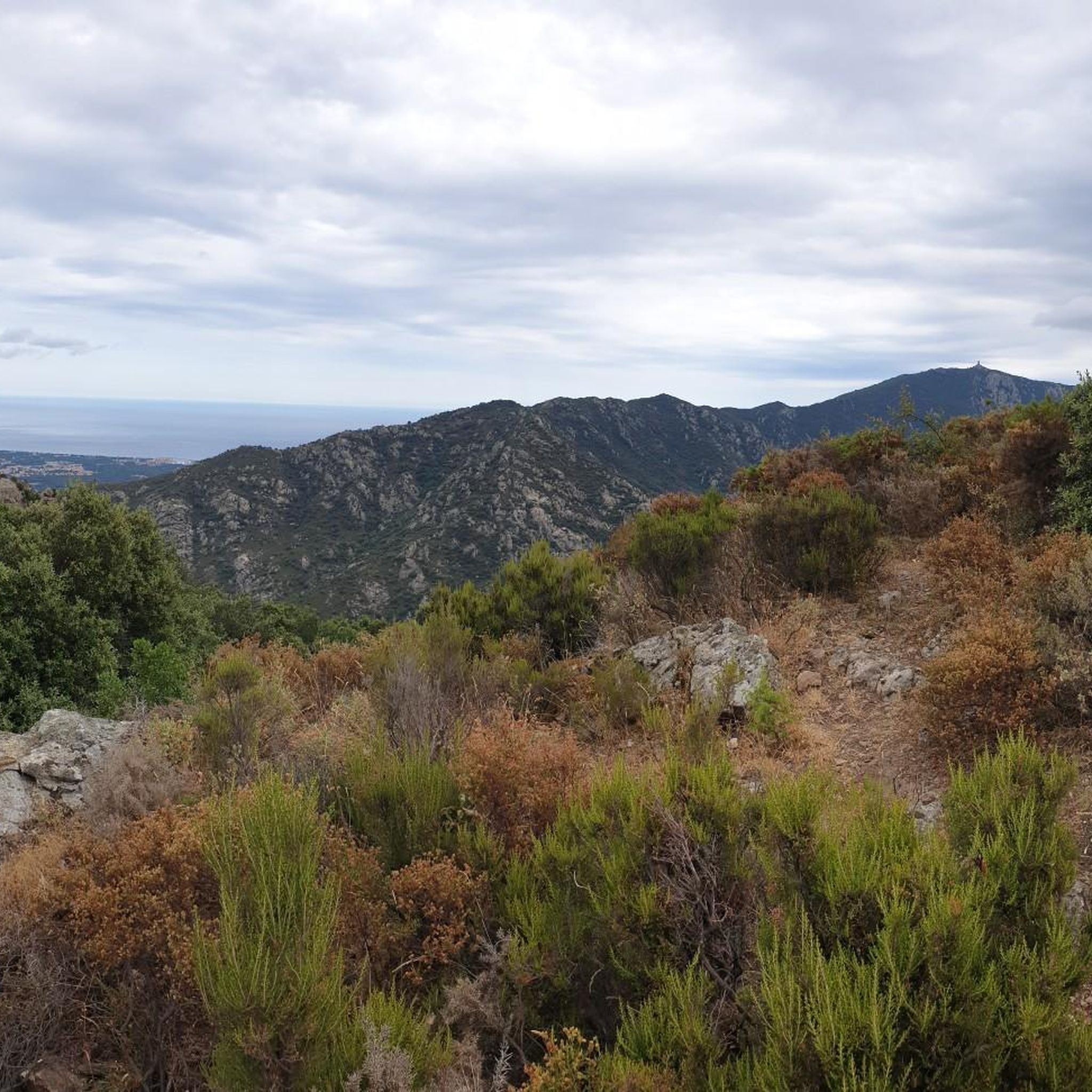
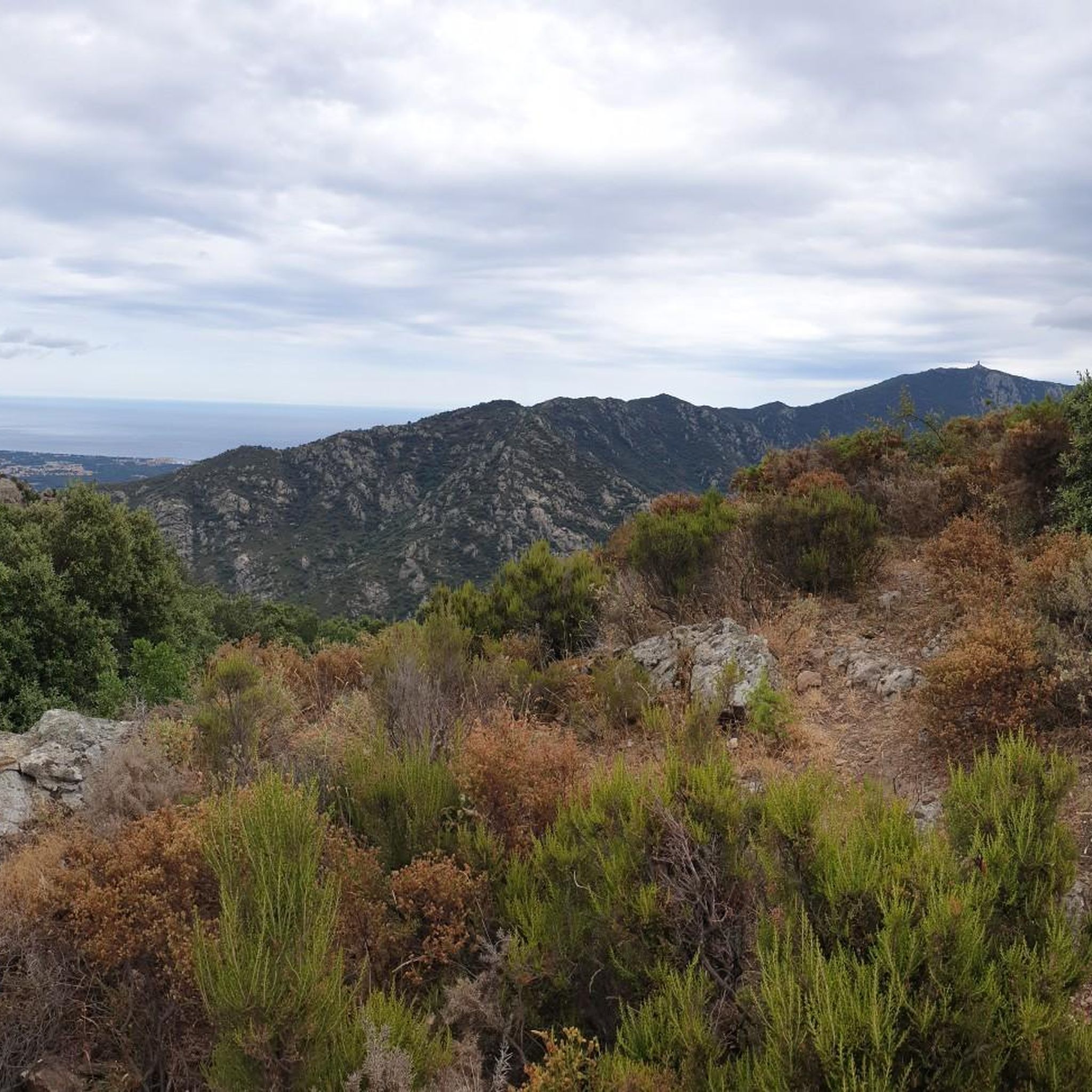
Road cycling in Réserve Biologique Dirigée Du Vallon Des Moixoses offers routes within the Albères massif, part of the eastern Pyrenean mountain range. This region features significant elevation changes, with terrain rising from 200 meters to 1,157 meters. Cyclists encounter average slopes of 40 to 60% and ascents from 50 meters to 1,000 meters over short distances. The landscape includes forested areas with laricio pines and beeches, providing scenic routes overlooking the Roussillon plains.
Best road cycling routes in Réserve…
Last updated: July 31, 2026
4.8
(14)
234
riders
56.2km
02:18
170m
170m
Moderate road ride. Good fitness required. Mostly well-paved surfaces and easy to ride.
98
riders
58.6km
02:41
550m
550m
Moderate road ride. Good fitness required. Some segments of this route may be unpaved and difficult to ride.

Sign up for free
5.0
(1)
25
riders
34.3km
01:24
140m
140m
Easy road ride. Great for any fitness level. Mostly well-paved surfaces and easy to ride.
4.0
(16)
507
riders
86.4km
05:07
1,780m
1,780m
Hard road ride. Very good fitness required. Mostly well-paved surfaces and easy to ride.
5.0
(1)
18
riders
Easy road ride. Great for any fitness level. Mostly well-paved surfaces and easy to ride.
Get access to more routes and recommendations from other explorers.
Sign up for free
Already have an account?
Our route recommendations are based on thousands of hikes, rides, and runs completed by other people on komoot.
Start today with a free account
Your next adventure awaits.
Login or Signup
Popular around Réserve Biologique Dirigée Du Vallon Des Moixoses
Cycling in Réserve Biologique Dirigée Du Vallon Des Moixoses
MTB Trails in Réserve Biologique Dirigée Du Vallon Des Moixoses
Hiking in Réserve Biologique Dirigée Du Vallon Des Moixoses
Running Trails in Réserve Biologique Dirigée Du Vallon Des Moixoses

Gravel biking in Réserve Biologique Dirigée Du Vallon Des Moixoses
Mountain Hikes in Réserve Biologique Dirigée Du Vallon Des Moixoses
Tips from the Community

Not recommended. Very bad roads for a road bike and especially very busy and partly dangerous.
0
0


Spending an hour visiting this magnificent building is a good choice. Elne is a beautiful town, and the view from the cathedral terrace is remarkable. The entrance garden is also relaxing.
0
0

This listed cemetery is distinguished by its heritage character and its Saint-Saturnin church, which dates from the 12th century. It is embellished by the mountainous landscape in the background.
0
0

The cycle path between Sorède and Argelès-sur-Mer, about 8 to 10 kilometres long, connects the mountainous interior with the Mediterranean coast, offering a picturesque and accessible route for cyclists of all levels.
1
0

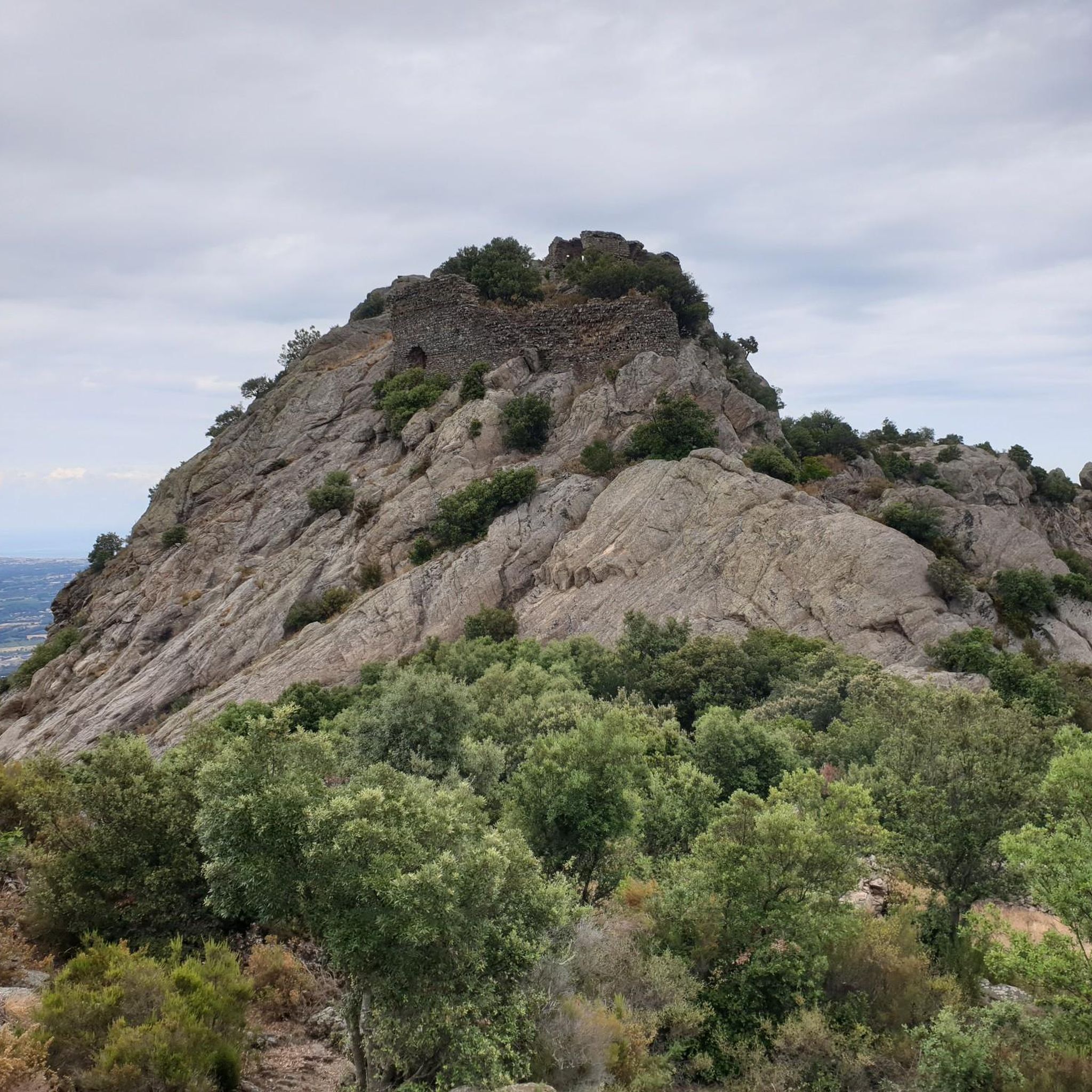
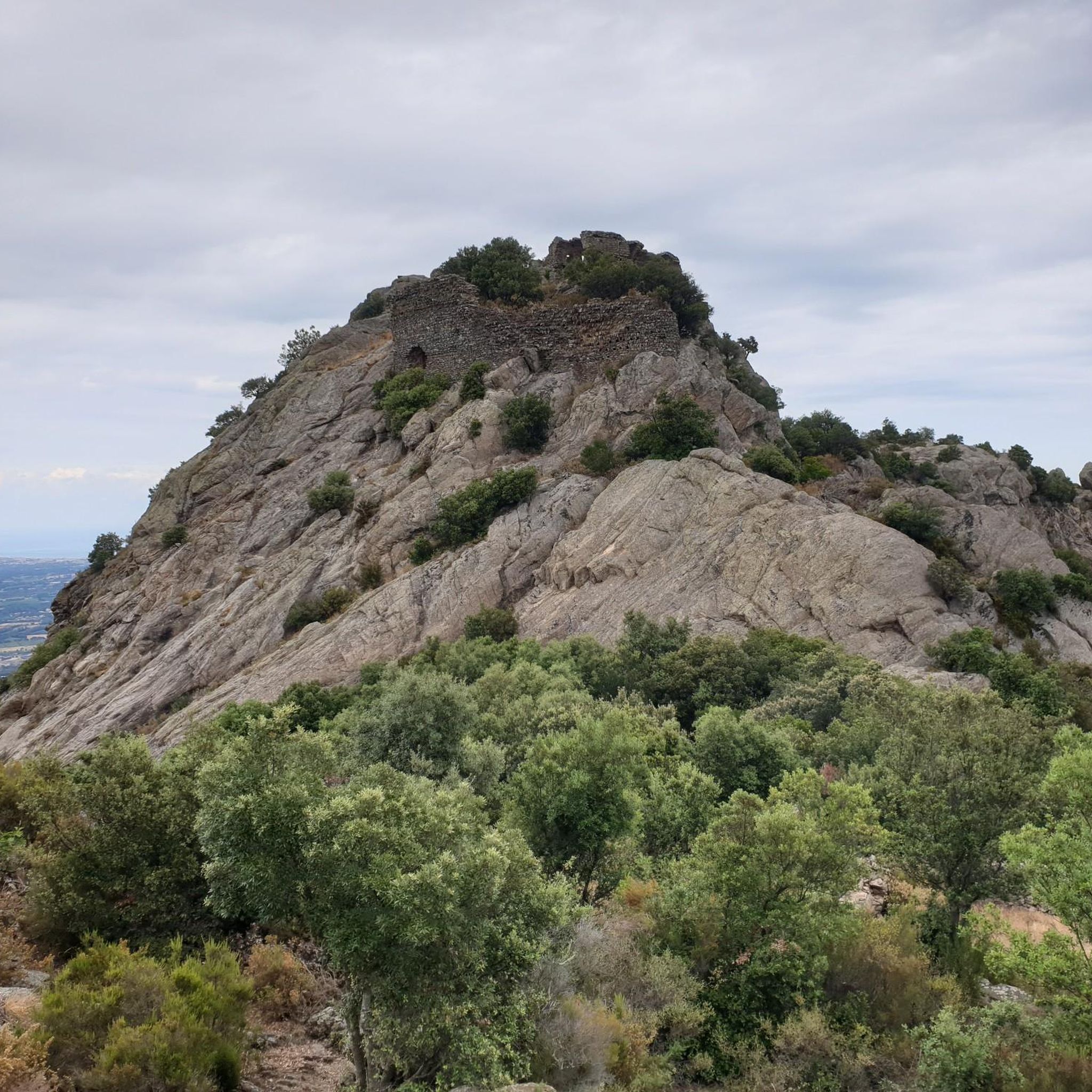
Magnificent view ! It’s worth going up there 🤩🤩
6
0
Frequently Asked Questions
What are the difficulty levels of road cycling routes in Réserve Biologique Dirigée Du Vallon Des Moixoses?
The region offers a range of road cycling routes to suit various skill levels. You'll find approximately 23 easy routes, 64 moderate routes, and 18 difficult routes. The terrain, part of the Albères massif, is known for significant elevation changes, with average slopes of 40 to 60% and ascents from 50 meters to 1,000 meters over short distances, especially on more challenging rides.
Are there options for longer road cycling tours in the region?
Yes, for those seeking longer rides, the region provides several options. One notable route is the Laroque-des-Albères – Bar Restaurant Llauro loop from Sorède, a moderate 36.0 miles (58.0 km) path that includes sustained climbs through forested sections with panoramic views.
Are there road cycling routes suitable for beginners?
Absolutely. There are approximately 23 easy road cycling routes available. These routes often feature less extreme elevation changes, allowing beginners to enjoy the beautiful landscapes without excessive challenge. An example of an easier route is the Argelès-sur-Mer Old Town – Ortaffa loop from Sorède, which is 47.5 km long with moderate elevation gain.
What kind of challenges do advanced road cyclists face in this region?
Advanced road cyclists will find plenty of challenges in Réserve Biologique Dirigée Du Vallon Des Moixoses, with approximately 18 difficult routes. The Albères massif features vigorous and dramatic relief, offering significant elevation changes. Expect average slopes of 40 to 60% and ascents from 50 meters to 1,000 meters over just 5 kilometers, reaching altitudes up to 1,157 meters. These routes demand strong climbing abilities and offer rewarding panoramic views.
When is the best time of year for road cycling in Réserve Biologique Dirigée Du Vallon Des Moixoses?
Given its location in the Pyrénées-Orientales department, the region generally enjoys a Mediterranean climate. Spring and autumn typically offer the most pleasant temperatures for road cycling, avoiding the intense heat of summer and the cooler, potentially wetter conditions of winter. These seasons also showcase the forested landscapes, including laricio pines and beeches, in their full beauty.
What can I see along the road cycling routes in Réserve Biologique Dirigée Du Vallon Des Moixoses?
Road cycling routes in the region offer stunning natural scenery and points of interest. You'll experience beautiful forested landscapes with majestic laricio pines and beeches, and enjoy expansive panoramic views over the Roussillon plains to the north and the Empordà to the south. Notable landmarks include the Coll de l'Estaca and the Pic dels Quatre Termes, which offer exceptional vistas.
What do other road cyclists enjoy the most about road cycling in Réserve Biologique Dirigée Du Vallon Des Moixoses?
The area is highly rated by the komoot community, with an average score of 4.3 stars from over 300 reviews. Reviewers often praise the significant elevation changes that provide a challenging yet rewarding experience, the stunning forested landscapes, and the panoramic views over the Roussillon plains. The variety of routes, from coastal plains to mountain foothills, is also frequently highlighted.
Are there any circular road cycling routes available?
Yes, many of the road cycling routes in Réserve Biologique Dirigée Du Vallon Des Moixoses are designed as loops, offering convenient circular journeys. For example, the popular Laroque-des-Albères – Saint Anthony Chapel loop from Sorède is a moderate 40.3 km route, and the Saint-Cyprien Beach – Laroque-des-Albères loop from Sorède offers varied landscapes in a 50.3 km loop.
What kind of terrain can I expect on road cycling routes here?
The terrain is primarily characterized by the Albères massif, which is the easternmost part of the Pyrenean mountain range. This means you can expect a vigorous and dramatic relief with significant elevation changes. Routes will take you through forested areas with laricio pines and beeches, offering both challenging climbs and scenic descents. You'll also encounter sections overlooking the Roussillon plains.
Are there any specific natural features or forests to explore by road bike?
Yes, the region is rich in natural beauty. The reserve itself is nestled within the Albères massif, featuring beautiful forested landscapes with majestic laricio pines and beeches. It's also part of the larger Forêt Domaniale des Albères, which is known for its diverse ecological habitats. Cycling through these areas provides picturesque routes and a sense of immersion in nature.
How many road cycling routes are available in Réserve Biologique Dirigée Du Vallon Des Moixoses?
There are over 100 road cycling routes available in Réserve Biologique Dirigée Du Vallon Des Moixoses, offering a wide variety of options for different skill levels and preferences. This includes approximately 23 easy, 64 moderate, and 18 difficult routes.
What are some popular starting points for road cycling in the area?
Many popular routes, such as the Laroque-des-Albères – Saint Anthony Chapel loop and the Laroque-des-Albères – Bar Restaurant Llauro loop, start from Sorède. This suggests Sorède is a convenient and well-utilized base for road cyclists exploring the region.
Most popular routes in Réserve Biologique Dirigée Du Vallon Des Moixoses
Most popular attractions in Réserve Biologique Dirigée Du Vallon Des Moixoses

Get inspired with the komoot mobile app


Explore more
Browse the best Road cycling routes in other regions.
