The best road cycling routes in Wutachschlucht
4.5
(617)
8,911
riders
266
rides
Road cycling in Wutachschlucht offers diverse terrain within a natural park setting in Breisgau-Hochschwarzwald. The region is characterized by deep river gorges, dense woodlands, and rolling hills, providing varied elevation changes suitable for road cyclists. Routes often follow river valleys, pass historical viaducts, and offer views of the surrounding Black Forest landscape.
Best road cycling routes in Wutachschlucht
- The most popular road cycling route is Klausenbach Viaduct – Bähnle Cycle Path in the Haslach Valley loop from Wutachschlucht, an…
Last updated: August 5, 2026
5.0
(2)
17
riders
Moderate road ride. Great for any fitness level. Some segments of this route may be unpaved and difficult to ride.
5.0
(3)
69
riders
81.7km
04:02
1,170m
1,170m
Hard road ride. Very good fitness required. Mostly well-paved surfaces and easy to ride.

Sign up for free
4.0
(5)
60
riders
39.8km
01:53
510m
510m
Moderate road ride. Good fitness required. Mostly well-paved surfaces and easy to ride.
5.0
(3)
36
riders
36.0km
01:54
550m
550m
Moderate road ride. Good fitness required. Some segments of this route may be unpaved and difficult to ride.
4.7
(3)
80
riders
72.6km
03:41
1,230m
1,230m
Hard road ride. Very good fitness required. Mostly well-paved surfaces and easy to ride.
Get access to more routes and recommendations from other explorers.
Sign up for free
Already have an account?
Our route recommendations are based on thousands of hikes, rides, and runs completed by other people on komoot.
Start today with a free account
Your next adventure awaits.
Login or Signup
Popular around Wutachschlucht
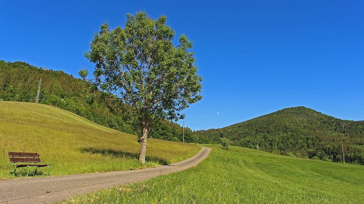
The Freiburg–Lake Constance Black Forest Trail — To the Swabian Sea
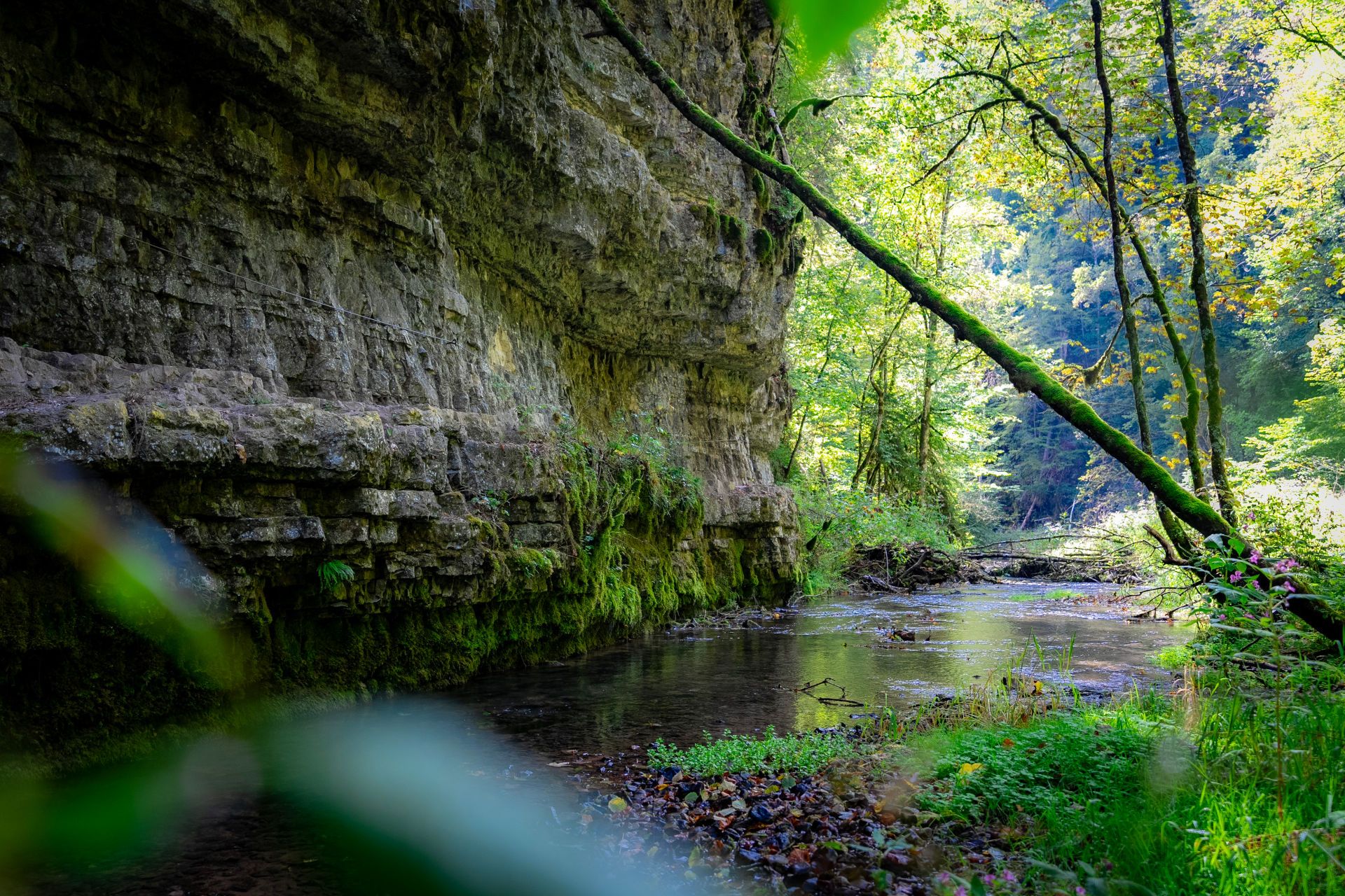
Germany’s largest canyon – hiking in the Wutach Gorge
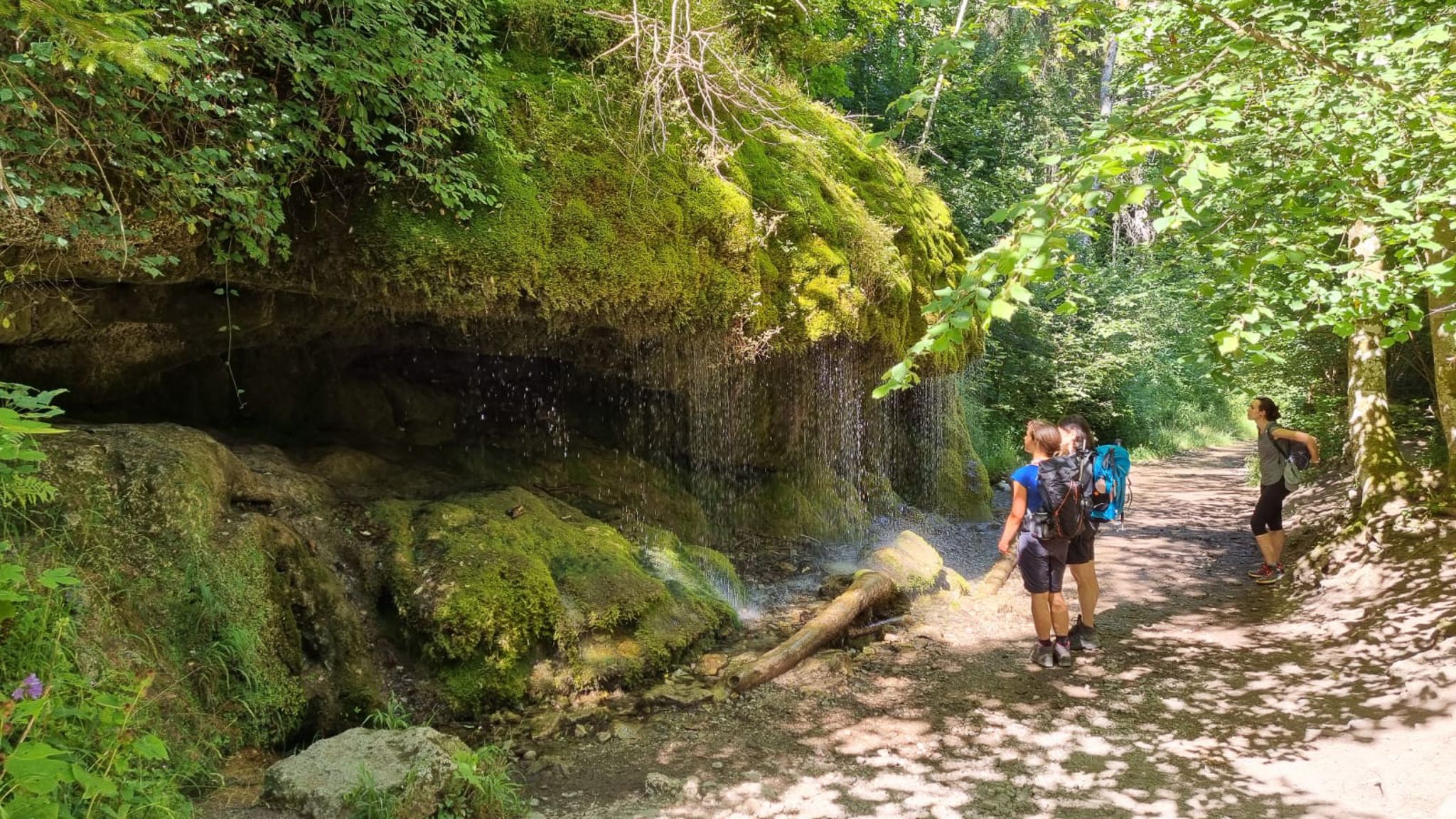
Schluchtensteig-Ost | From Stühlingen to Schluchsee
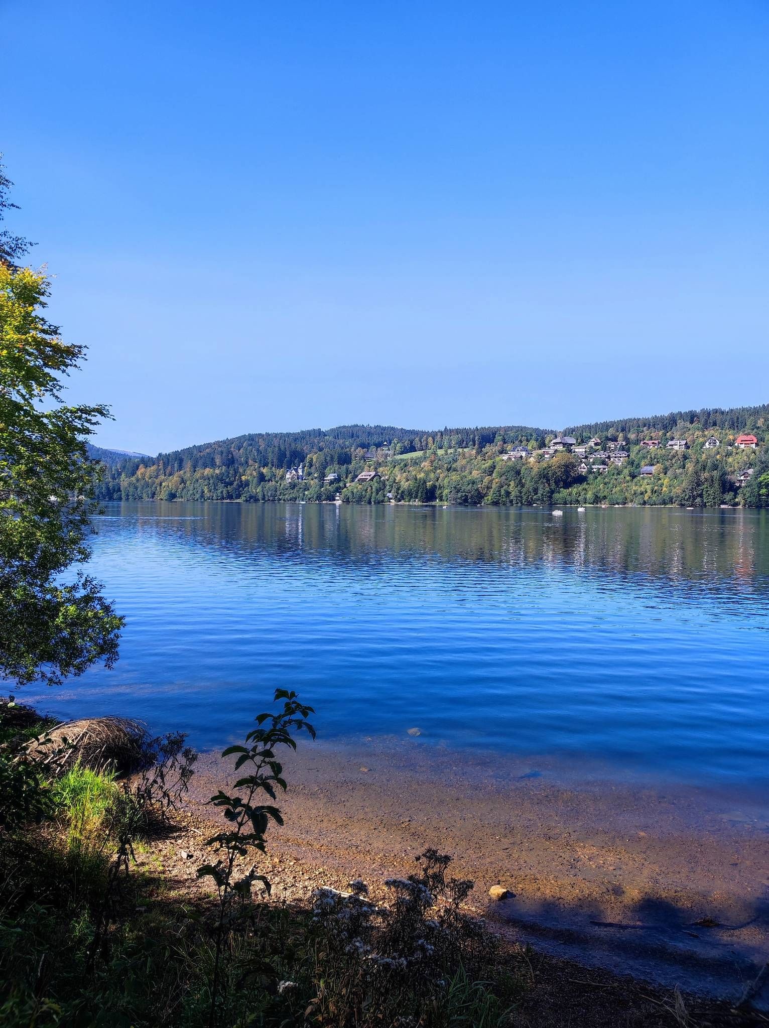
On the Querweg Freiburg-Bodensee
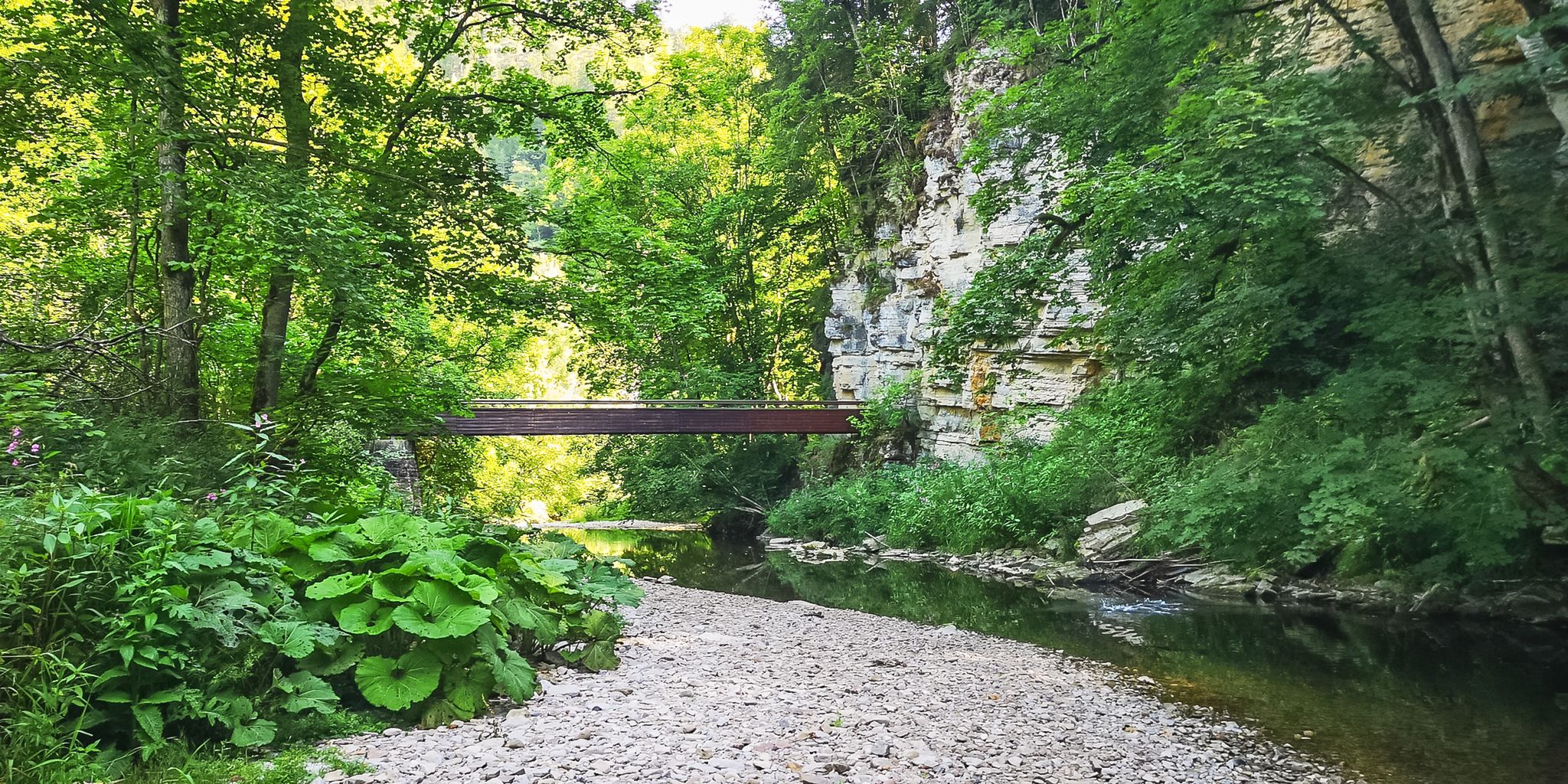
Babbling brooks and impressive canyons – the Gorge Trail
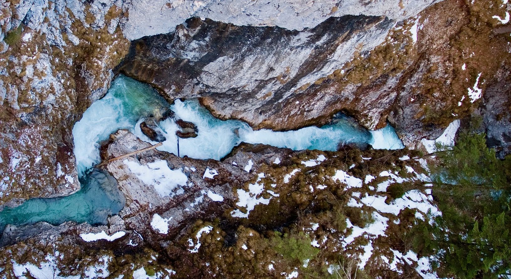
Ravines, gorges and waterfalls for winter
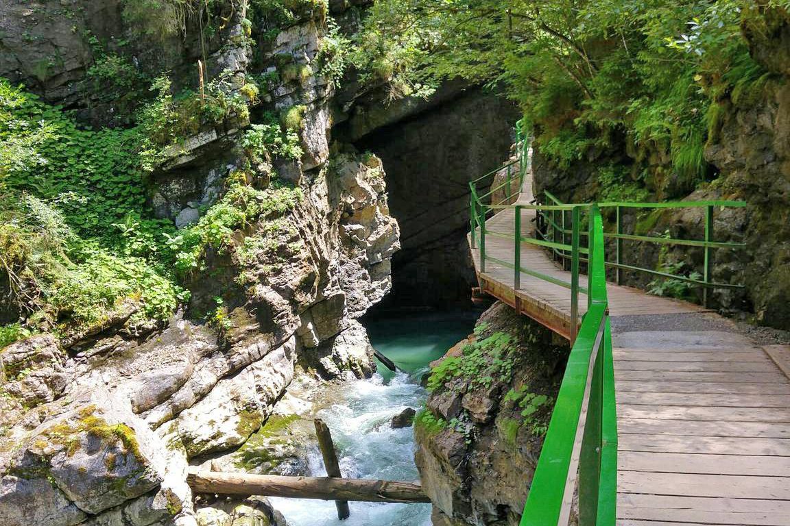
Wild gorges in southern Germany and northern Switzerland
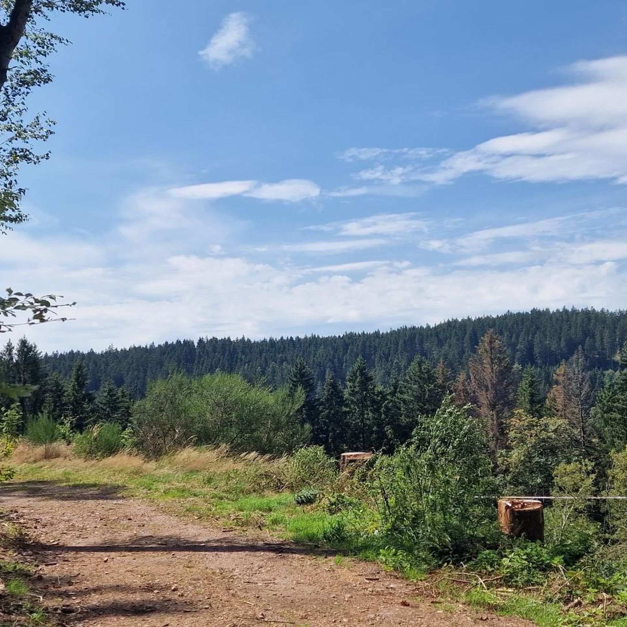
Hiking in Wutachschlucht
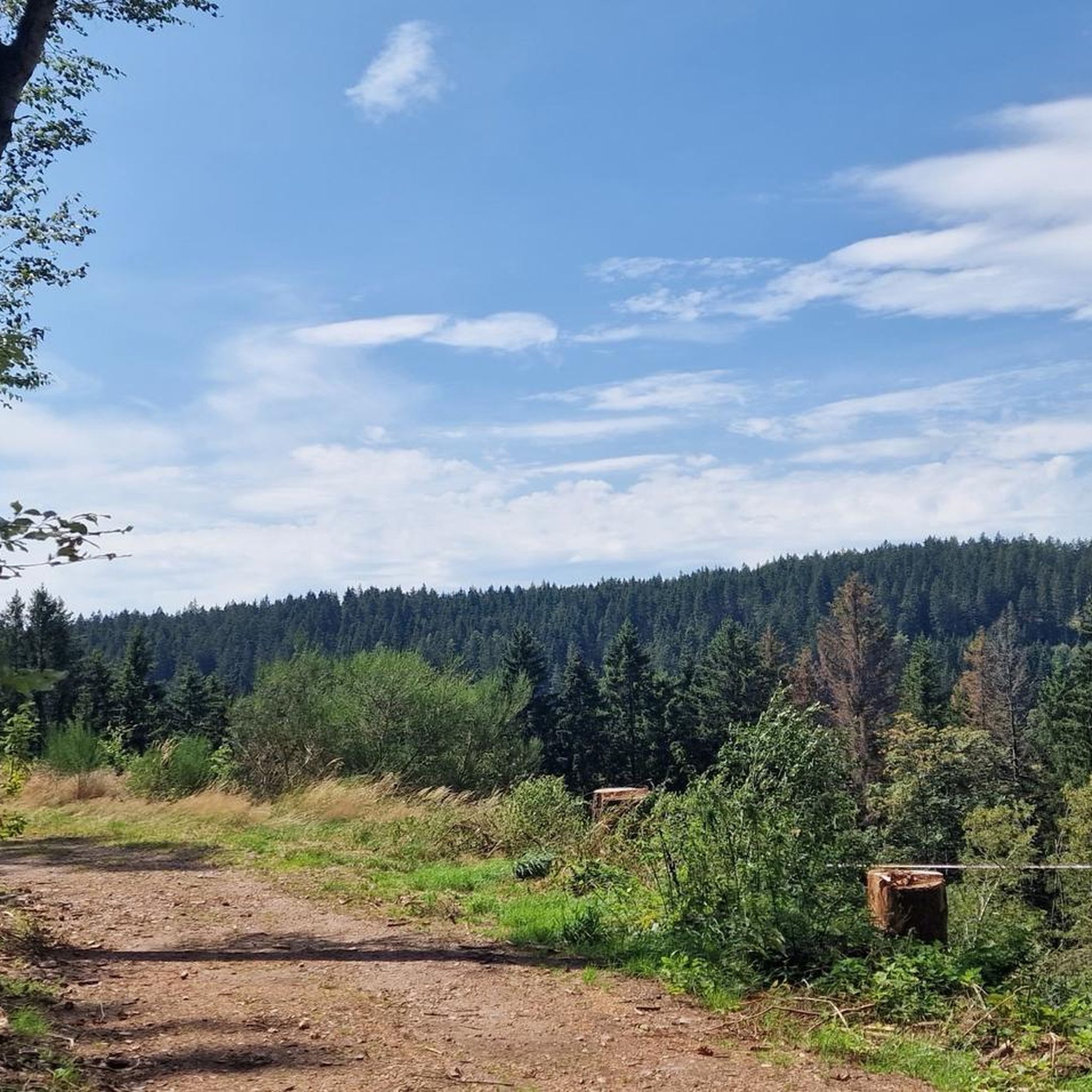
Cycling in Wutachschlucht
Gravel biking in Wutachschlucht
Other adventures in Wutachschlucht


Tips from the Community

Drinking fountain / drinking water directly at the train station.
0
0

The Jakobskapelle near Achdorf is picturesquely situated on a hill above the Wutachtal valley. The small house of worship originally dates back to the Middle Ages and was once an important stop for pilgrims on the Way of St. James. From the chapel, there is a beautiful view of the surrounding landscape and the valley.
5
0

Another lovely vantage point over the Kirnbergsee. The lake sits quietly in the open farmland between Feldberg and the Baar plateau — a calm spot on the final stretch toward Donaueschingen.
0
0

The gravel surface of the Bähnleradweg, which is mentioned in the first post from 2019, is no longer applicable, it is now asphalted all the way. The Bähnle-Radweg mostly follows the route of the disused Lenzkirch - Bonndorf railway line. As a result, there are only slight inclines along the entire route.
0
0

The church tower is an eye-catcher, slowly emerging at the top of the mountain.
1
0

Beautiful, undulating route with very little traffic.
0
0

The shore, and the great photos featured here in the highlight, can only be reached by gravel bike or on foot. In Aha, you can also ride the few meters to the lake on a road bike.
0
0

You have to climb up first, but then it's beautiful up there...
0
0
Frequently Asked Questions
How many road cycling routes are available in Wutachschlucht?
There are over 280 road cycling routes in Wutachschlucht, offering a wide range of options for different skill levels. This includes 36 easy routes, 161 moderate routes, and 88 challenging routes.
What is the general difficulty level for road cycling in Wutachschlucht?
Wutachschlucht offers a diverse range of road cycling routes suitable for various abilities. You'll find a good mix of easy, moderate, and challenging trails. The region's terrain, characterized by deep river gorges and rolling hills, means that even moderate routes can include significant elevation changes, while challenging routes often feature substantial climbs.
Are there any easy road cycling routes suitable for beginners in Wutachschlucht?
Yes, Wutachschlucht has 36 easy road cycling routes perfect for beginners or those looking for a more relaxed ride. These routes often follow river valleys or dedicated cycle paths, providing a gentler experience. For example, the Klausenbach Viaduct – Bähnle Cycle Path in the Haslach Valley loop from Wutachschlucht is a moderate route that features scenic viaducts and follows a dedicated cycle path, offering a pleasant ride.
What are some challenging road cycling routes in Wutachschlucht?
For experienced road cyclists seeking a challenge, Wutachschlucht offers 88 difficult routes with significant elevation gains. A notable challenging route is the Munot Fortress, Schaffhausen – Randen–Neuhaus Cycle Path loop from Döggingen, which covers 50.7 miles (81.6 km) and includes over 1,100 meters of climbing, offering views of the Munot Fortress and surrounding landscapes.
Are there any circular road cycling routes in Wutachschlucht?
Many of the road cycling routes in Wutachschlucht are designed as loops, allowing you to start and end at the same point. Examples include the popular Klausenbach Viaduct – Bähnle Cycle Path in the Haslach Valley loop from Wutachschlucht and the longer Sankt Anna Church Unterbränd – View of Kirnbergsee loop from Göschweiler, which offers varied terrain and views of Kirnbergsee.
What can I see along the road cycling routes in Wutachschlucht?
Road cycling routes in Wutachschlucht often pass by impressive natural and historical landmarks. You can expect to see deep river gorges like the Wutach Gorge and Gauchach Gorge, as well as picturesque waterfalls such as the Gauchach Waterfall and Moos Waterfall. Many routes also feature historical viaducts and offer scenic views of the Black Forest landscape.
Are there any routes that feature the old viaducts, like the ones along the Haslach?
Yes, several routes in the Wutachschlucht area highlight the historic viaducts. The Klausenbach Viaduct – Bähnle Cycle Path in the Haslach Valley loop from Wutachschlucht is an excellent example, specifically designed to showcase these scenic structures along the Haslach Valley.
What is the best time of year for road cycling in Wutachschlucht?
The best time for road cycling in Wutachschlucht is typically from spring through autumn (April to October). During these months, the weather is generally mild, and the natural scenery is at its most vibrant. Summer offers longer daylight hours, while spring and autumn provide cooler temperatures and beautiful foliage.
What do other road cyclists enjoy the most about road cycling in Wutachschlucht?
The area is highly rated by the komoot community, with an average score of 4.6 stars from over 500 reviews. Cyclists frequently praise the region's diverse terrain, the stunning natural beauty of the gorges and forests, and the well-maintained routes that offer a mix of challenging climbs and scenic valley rides. The historical viaducts and picturesque viewpoints are also often highlighted as favorite features.
Are there any road cycling routes that pass by lakes or offer lake views?
Yes, some routes provide beautiful lake views. For instance, the Sankt Anna Church Unterbränd – View of Kirnbergsee loop from Göschweiler offers scenic vistas of Kirnbergsee, making it a popular choice for those who appreciate waterside cycling.
Can I find cafes or places to stop for refreshments along the road cycling routes?
While specific cafes are not listed for every route, the Wutachschlucht region, being a popular outdoor destination, has various villages and towns along or near the routes where you can find cafes, restaurants, and guesthouses for refreshments. Planning your route with komoot allows you to identify points of interest and amenities along your chosen path.
What are the longest road cycling routes available in Wutachschlucht?
For those looking for longer rides, Wutachschlucht offers several extensive routes. The Munot Fortress, Schaffhausen – Randen–Neuhaus Cycle Path loop from Döggingen is one of the longest, spanning over 81 kilometers (50.7 miles), providing a full day's adventure with significant elevation.
Most popular routes in Wutachschlucht
Most popular attractions in Wutachschlucht

Get inspired with the komoot mobile app


Explore more
Browse the best Road cycling routes in other regions.
