The best walks and hikes in Wutachschlucht
4.5
(45435)
165,349
hikers
39
hikes
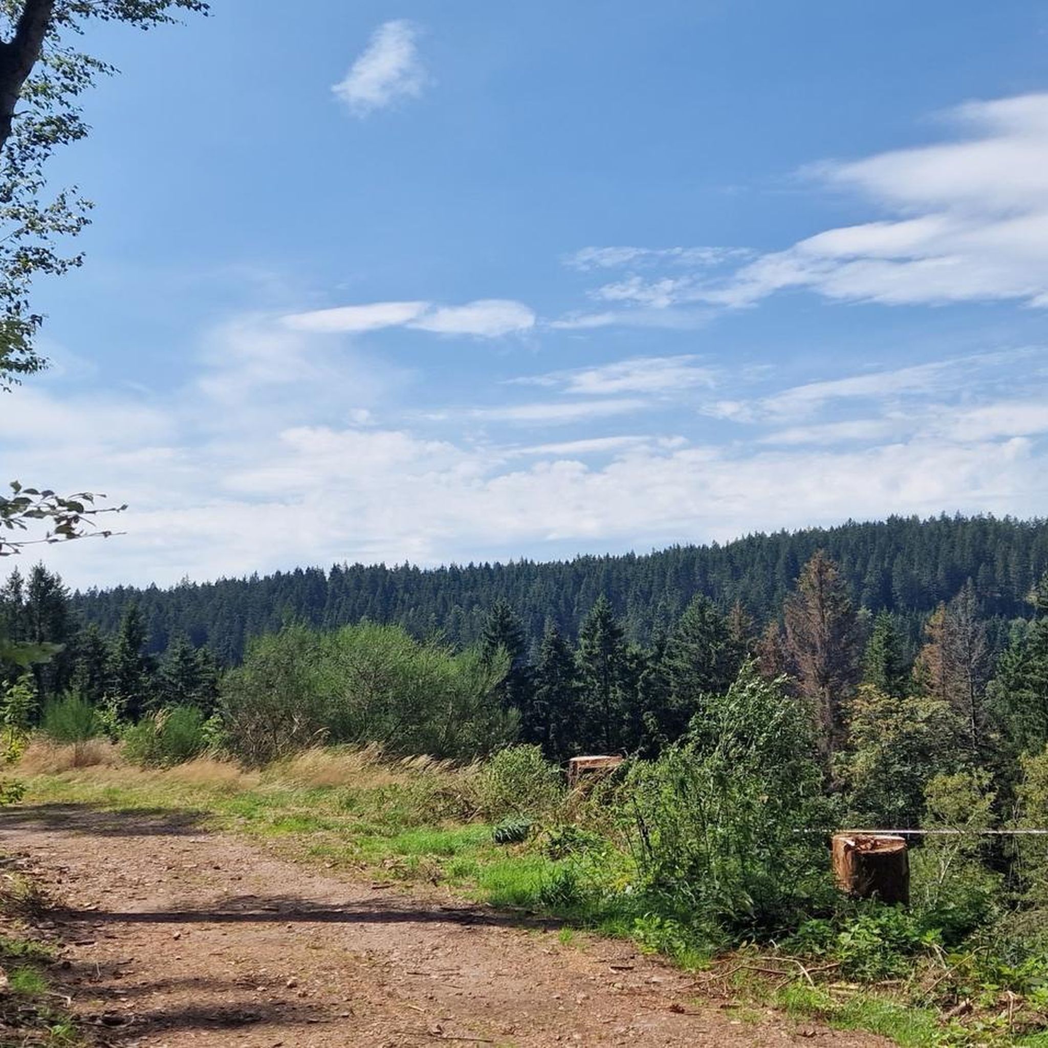
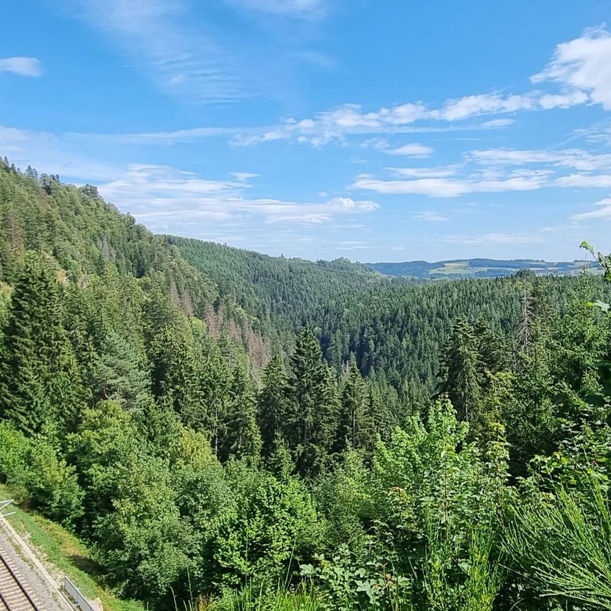
Hiking in Wutachschlucht offers exploration through a dramatic gorge system, often referred to as Germany's largest canyon. The region is characterized by deep river incisions, steep-sided valleys, and unique geological formations, including karst features. Dense, untouched forests cover the slopes, and numerous waterfalls and wild rivers carve through the landscape, creating a diverse terrain for hikers.
Best hiking trails in Wutachschlucht
- The most popular hiking route is Rock Gallery (Wutach Gorge) – Wutach Gorge loop from Boll, a 12.9 miles (20.8 km) trail that takes 6 hours 16 minutes to complete, featuring significant rock formations within the gorge.
- Another top favourite among local hikers is Tannegger Waterfall – Rock Gallery (Wutach Gorge) loop from Boll, a difficult 8.8 miles (14.2 km) path. This route includes impressive waterfalls and sections of the Rock Gallery, offering varied terrain.
- Local hikers also love the Waterfalls in the Lotenbachklamm gorge – Waterfall at the Lotenbach loop from Schattenmühle, a 4.6 miles (7.4 km) trail leading through the Lotenbachklamm side gorge, often completed in about 2 hours 19 minutes.
- Hiking in Wutachschlucht is defined by dramatic gorges, rushing waterfalls, and untouched forests. The network offers options for different ability levels, from moderate paths to more demanding routes.
- The routes in Wutachschlucht are highly rated by the komoot community with an average score of 4.4 stars from over 12,000 reviews. More than 55,000 hikers have used komoot to explore Wutachschlucht's varied terrain.
Last updated: November 16, 2026
4.7
(471)
1,512
hikers
10.1km
03:14
250m
250m
Hard hike. Good fitness required. Sure-footedness, sturdy shoes and alpine experience required.
4.8
(799)
2,890
hikers
Hard hike. Very good fitness required. Sure-footedness, sturdy shoes and alpine experience required.

4.8
(25)
76
hikers
2.32km
00:40
50m
50m
Moderate hike. Mostly walkable paths. Sure-footedness required.
4.7
(220)
688
hikers
18.5km
05:30
390m
390m
Hard hike. Very good fitness required. Mostly walkable paths. Sure-footedness required.
4.6
(82)
278
hikers
27.1km
08:04
590m
600m
Hard hike. Very good fitness required. Mostly walkable paths. Sure-footedness required.
Get access to more routes and recommendations from other explorers.
Already have an account?
Our route recommendations are based on thousands of hikes, rides, and runs completed by other people on komoot.
Start today with a free account
Your next adventure awaits.
Popular around Wutachschlucht
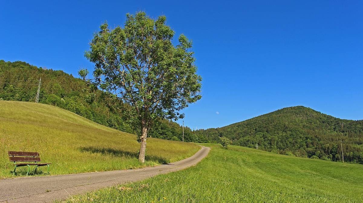
The Freiburg–Lake Constance Black Forest Trail — To the Swabian Sea
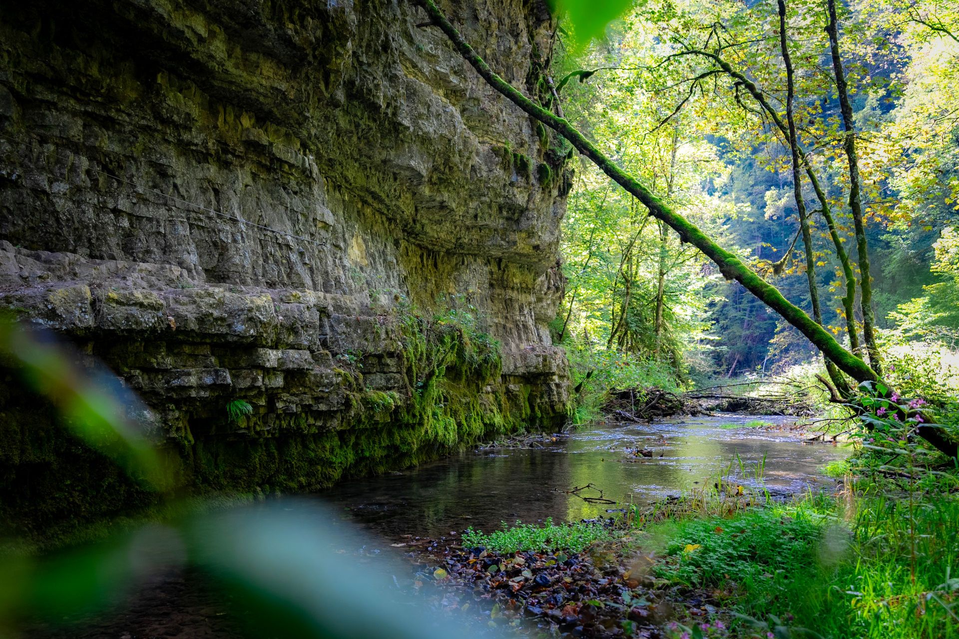
Germany’s largest canyon – hiking in the Wutach Gorge
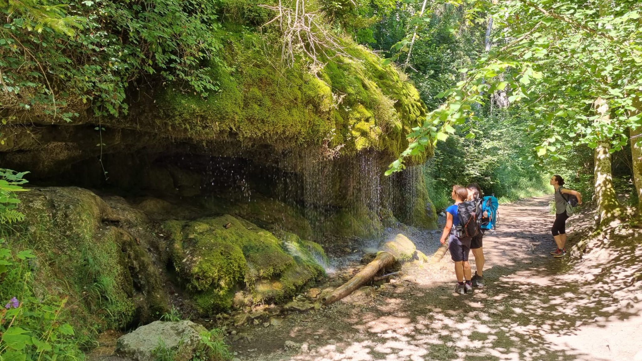
Schluchtensteig-Ost | From Stühlingen to Schluchsee
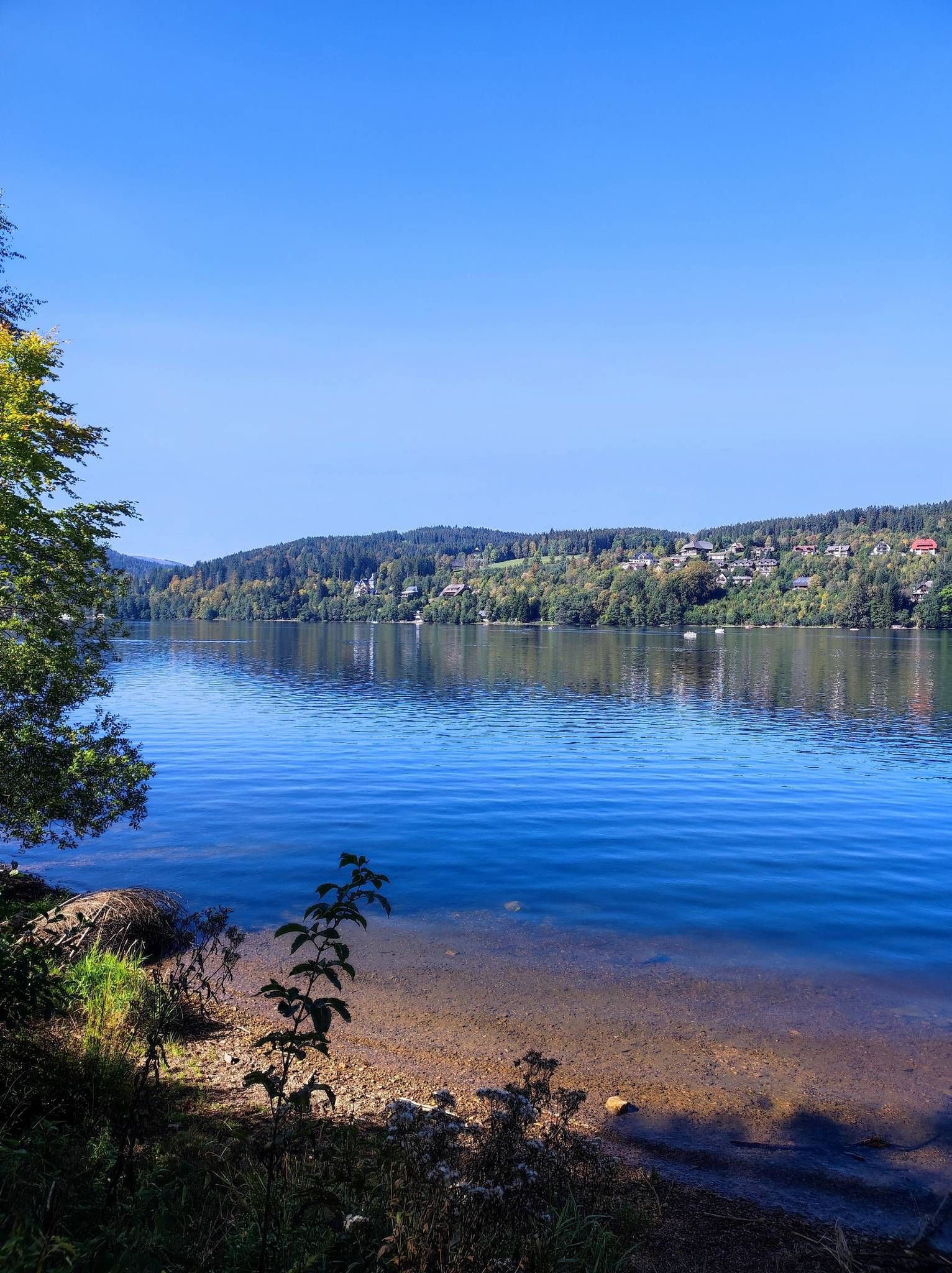
On the Querweg Freiburg-Bodensee
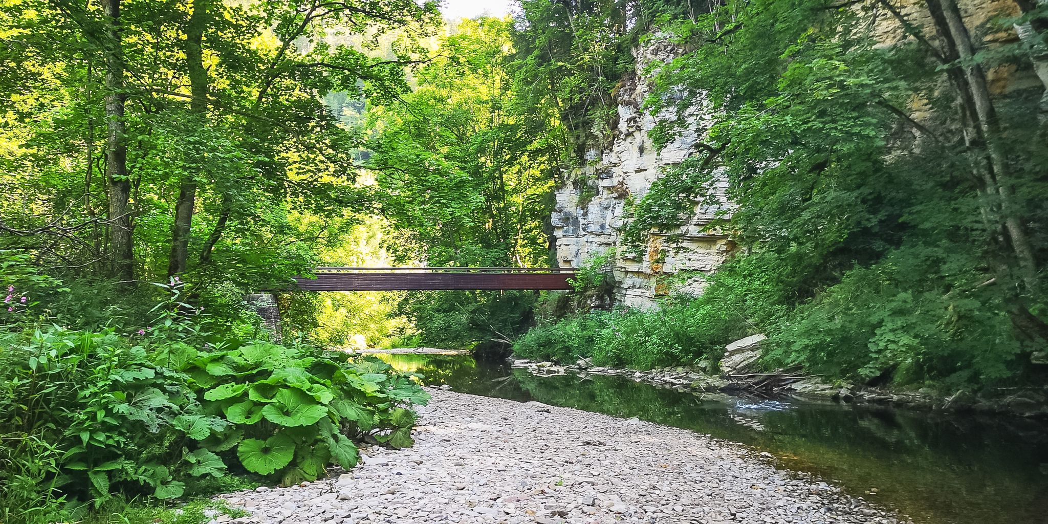
Babbling brooks and impressive canyons – the Gorge Trail
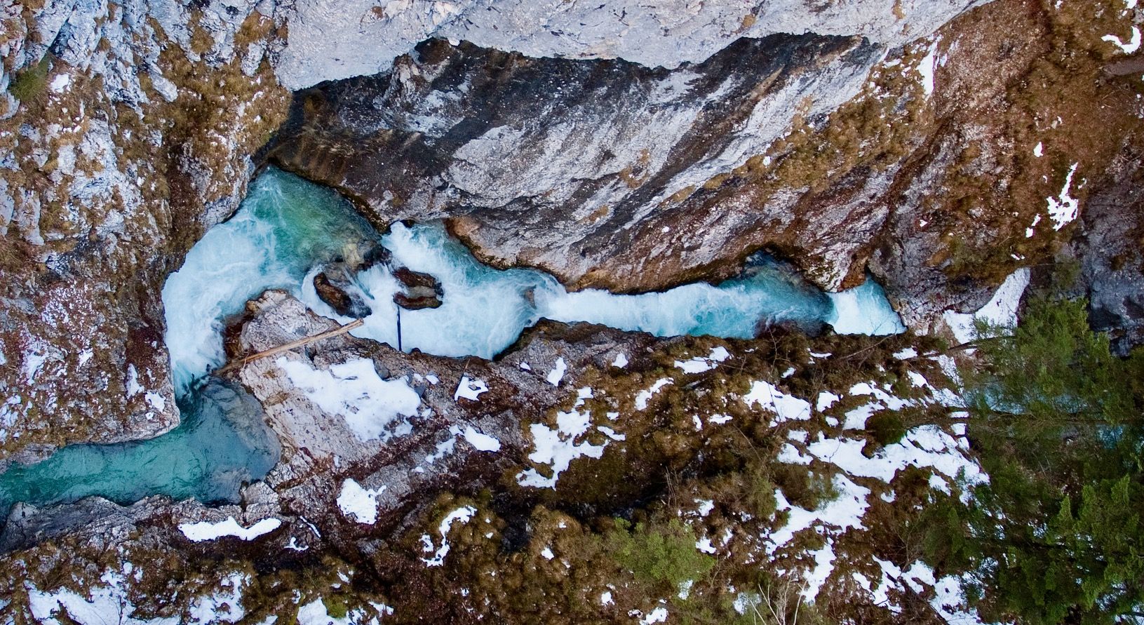
Ravines, gorges and waterfalls for winter
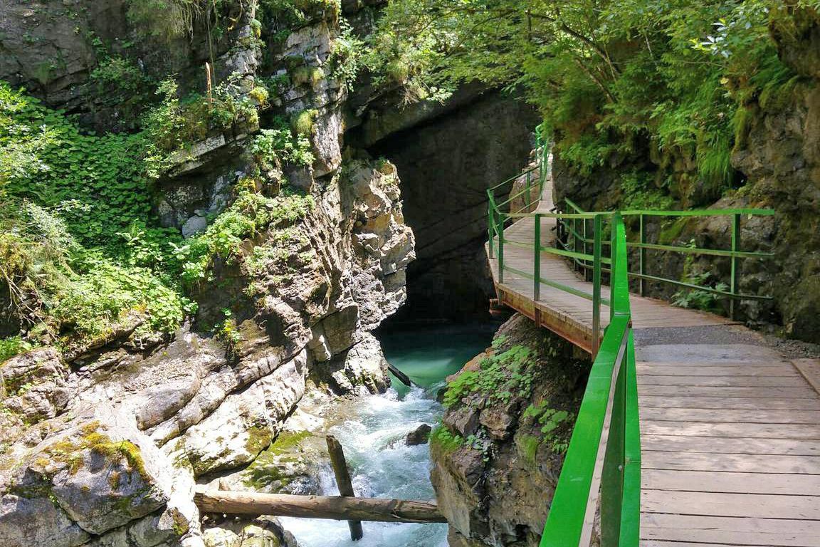
Wild gorges in southern Germany and northern Switzerland
Cycling in Wutachschlucht
Road Cycling Routes in Wutachschlucht
MTB Trails in Wutachschlucht
Other adventures in Wutachschlucht


Tips from the Community

lots of roots and steep uphill if you walk the Rotenburg Gourmet Trail
0
0

very magical place to marvel and relax ☺️❤️🌲💓
0
0

Exit point of previously seeped water from the Wutach
4
0
Memorial plaque for a hiking companion integrated into rock
8
1
When it gets wet, clay and marl smear the paths quite a bit
6
0
Well-secured path close to the wall
6
0
Beautifully natural gorge, reworked by beavers… should be on your list
4
0

The ant trail runs parallel to the forest road for a few meters. Three giant ants have been placed there. Numerous anthills, some of them quite enormous, are located next to the path.
1
0
Frequently Asked Questions
What kind of hiking trails can I expect in Wutachschlucht?
The Wutachschlucht offers a diverse range of hiking trails, primarily characterized by its dramatic gorge system, often called Germany's largest canyon. You'll find paths winding through deep river incisions, steep-sided valleys, and untouched forests. The region is known for its unique geological formations, including karst features, and numerous waterfalls and wild rivers. Trails vary in difficulty, from moderate paths suitable for many hikers to more demanding routes.
Are there any easy hiking trails suitable for beginners or families in Wutachschlucht?
Yes, while many trails can be challenging, there are options for easier hikes. Out of 43 routes, 3 are classified as easy, and 30 are moderate. For instance, the Waterfalls in the Lotenbachklamm gorge – Lotenbach Bridge loop from Göschweiler is a moderate 4.7 km route that explores the beautiful Lotenbachklamm, which is often considered more accessible.
What are some notable natural features or landmarks to look out for while hiking in Wutachschlucht?
The Wutachschlucht is rich in natural wonders and geological highlights. You can explore the main Wutach Gorge itself, or venture into side gorges like the Gauchach Gorge. Keep an eye out for impressive rock formations, numerous waterfalls such as the Gauchach Waterfall, and the unique Kanadiersteg (Covered Bridge). The region's geology also offers insights into various strata and even fossils.
Are there any circular hiking routes in Wutachschlucht?
Yes, many of the trails in Wutachschlucht are designed as loops, allowing you to start and end at the same point. A popular example is the difficult Rock Gallery (Wutach Gorge) – Wutach Gorge loop from Boll, which covers 20.8 km. For a shorter, moderate option, consider the Waterfalls in the Lotenbachklamm gorge – Waterfall at the Lotenbach loop from Schattenmühle, a 7.4 km route.
What is the best time of year to go hiking in Wutachschlucht?
While accessible almost year-round, early summer and autumn are generally considered the best seasons for hiking in Wutachschlucht. In autumn, the vibrant fall foliage adds to the scenic beauty. It's important to note that conditions can often be wet and slippery, so sturdy footwear is recommended regardless of the season.
Are there any waterfalls I can visit in Wutachschlucht?
Absolutely! The Wutachschlucht is known for its rushing waterfalls. The Lotenbachklamm, a 1.5-kilometer branch gorge, is particularly famous for its thundering waterfalls. You can explore this area on routes like the Waterfalls in the Lotenbachklamm gorge – Waterfall at the Lotenbach loop from Schattenmühle. The Gauchach Waterfall in the Gauchach Gorge is another beautiful spot.
Where can I find places to rest or eat along the trails in Wutachschlucht?
There are several huts and shelters available for hikers in the Wutachschlucht area. Notable spots include the Schattenmühle Country Inn, which also serves as an information center, and various shelters like the Rötenbach Gorge Shelter or the Gauchen-Hütte Shelter. These provide opportunities for a break or a meal.
What do other hikers say about the trails in Wutachschlucht?
The Wutachschlucht is highly regarded by the komoot community, with an average rating of 4.4 out of 5 stars from over 12,600 reviews. Hikers frequently praise the dramatic gorges, the untouched 'primeval landscape,' and the rich biodiversity. Many appreciate the tranquil experience away from traffic and the variety of trails available.
How can I access the Wutachschlucht trails, and is there public transport available?
Recommended starting points for exploring the Wutachschlucht include the Gutach bridge near Kappel and the Schattenmühle in Löffingen-Göschweiler, which also offers parking. A hiking bus operates between Löffingen railway station and the gorge entrances from late April to October on weekends and public holidays, making public transport a viable option for access.
What kind of wildlife and plant life can I expect to see in Wutachschlucht?
The Wutachschlucht is a nature reserve and a biodiversity hotspot. It's home to an astonishing array of plant species, including 30 kinds of orchids. The area also supports over 500 types of butterflies, more than 100 species of birds like kestrels and kingfishers, and over 1,000 kinds of beetles. The untouched forests contribute significantly to this rich ecological environment, making it a European Bird Reserve.
Are there any particularly challenging routes for experienced hikers?
Yes, for experienced hikers seeking a challenge, Wutachschlucht offers several difficult routes. The Tannegger Waterfall – Rock Gallery (Wutach Gorge) loop from Boll is a difficult 14.2 km path that includes impressive waterfalls and sections of the Rock Gallery. Another demanding option is the Rock Gallery (Wutach Gorge) – Old Rümmele Footbridge loop from Schattenmühle, spanning 18.6 km.
Most popular routes in Wutachschlucht
Most popular attractions in Wutachschlucht

Get inspired with the komoot mobile app


Explore more
Browse the best Hikes in other regions.
