Wildschutzgebiet Sibratsgfäll, Schattseite
Wildschutzgebiet Sibratsgfäll, Schattseite
The best cycling routes in Wildschutzgebiet Sibratsgfäll, Schattseite
4.5
(1116)
9,706
riders
123
rides
Touring cycling in Wildschutzgebiet Sibratsgfäll, Schattseite offers routes through varied terrain, characterized by rolling hills, forested valleys, and alpine landscapes. The region features a mix of challenging ascents and scenic paths, often following waterways like the Subersach. Elevations can be significant, with many routes involving substantial climbs. The area provides opportunities for exploring natural features and settlements within a protected wildlife zone.
Best touring cycling routes in Wildschutzgebiet Sibratsgfäll, Schattseite
- The most popular touring cycling route is Schetteregg – Upper…
Last updated: July 17, 2026
8
riders
Hard bike ride. Good fitness required. You may need to push your bike for some segments of this route.
4.8
(85)
747
riders
54.7km
04:30
1,270m
1,270m
Hard bike ride. Very good fitness required. Mostly paved surfaces. Suitable for all skill levels.

Sign up for free
4.6
(12)
149
riders
32.2km
02:37
750m
750m
Hard bike ride. Very good fitness required. Mostly paved surfaces. Suitable for all skill levels.
4.5
(8)
85
riders
Moderate bike ride. Good fitness required. Mostly paved surfaces. Suitable for all skill levels.
4.9
(8)
73
riders
Moderate bike ride. Good fitness required. Mostly paved surfaces. Suitable for all skill levels.
Get access to more routes and recommendations from other explorers.
Sign up for free
Already have an account?
Our route recommendations are based on thousands of hikes, rides, and runs completed by other people on komoot.
Start today with a free account
Your next adventure awaits.
Login or Signup
Popular around Wildschutzgebiet Sibratsgfäll, Schattseite
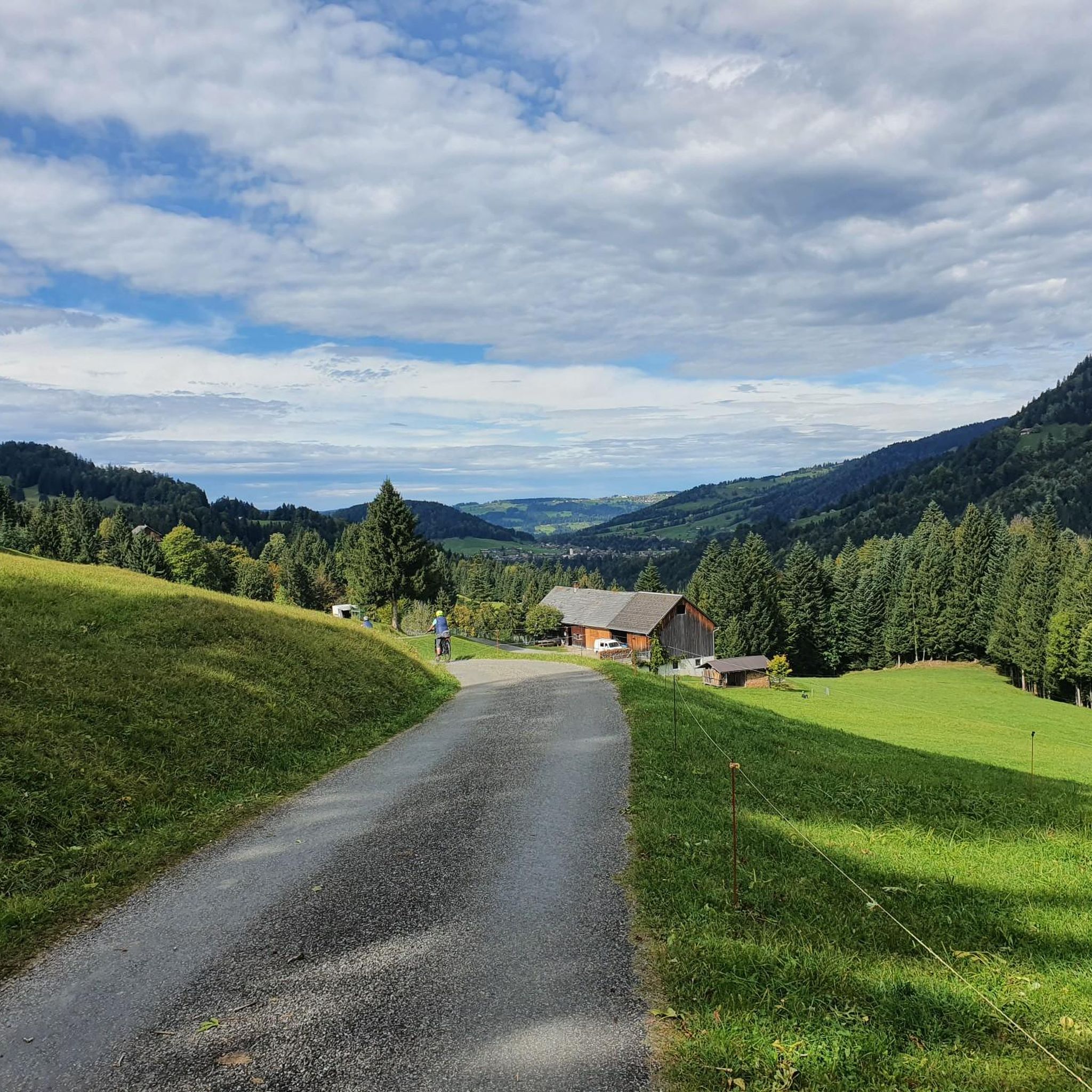
Hiking in Wildschutzgebiet Sibratsgfäll, Schattseite

Gravel biking in Wildschutzgebiet Sibratsgfäll, Schattseite
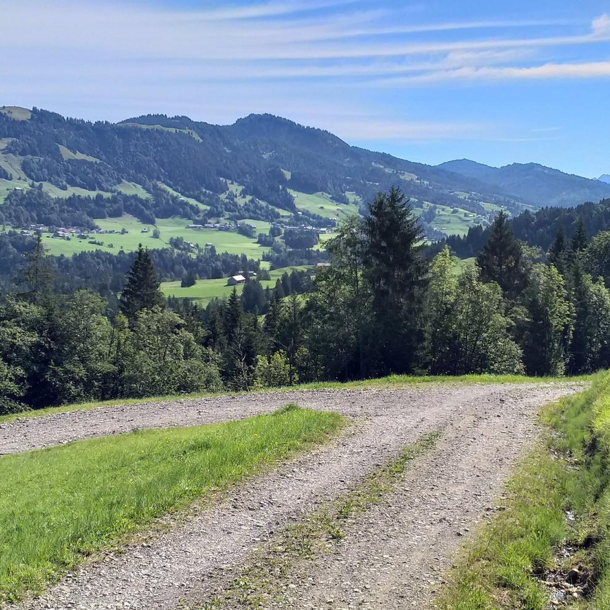
Road Cycling Routes in Wildschutzgebiet Sibratsgfäll, Schattseite
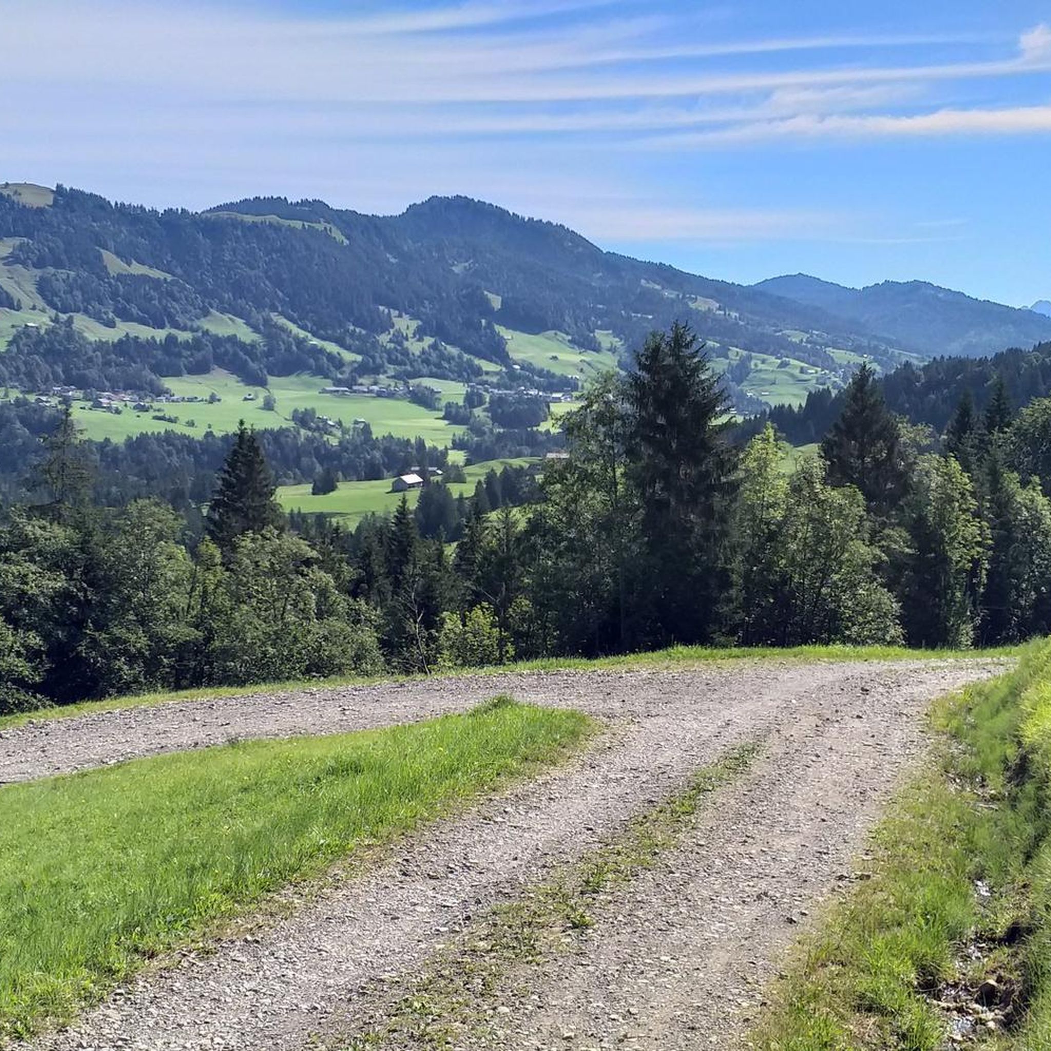
MTB Trails in Wildschutzgebiet Sibratsgfäll, Schattseite
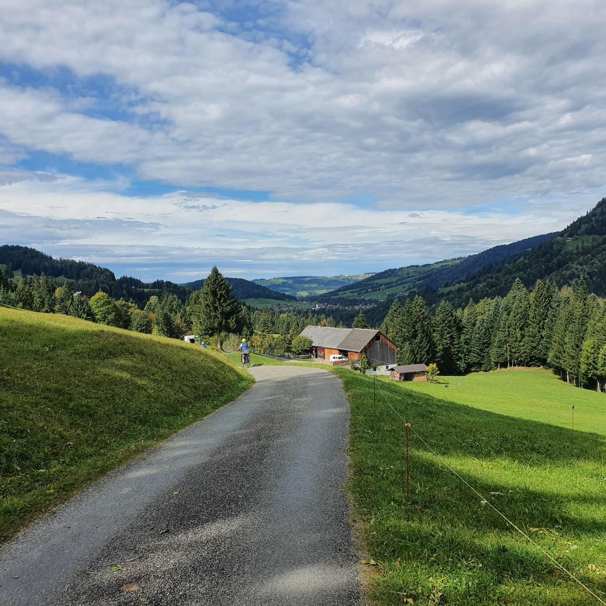
Running Trails in Wildschutzgebiet Sibratsgfäll, Schattseite
Mountain Hikes in Wildschutzgebiet Sibratsgfäll, Schattseite
Tips from the Community


It's just beautiful here 🤗
0
0
It's just beautiful here 🤗
0
0


I can't find a wildlife rest zone in this area; perhaps the authorities have downgraded the area because the wildlife probably has enough material to eat and isn't biting into the tree trunks anymore. An overview of wildlife rest zones can be found here: https://atlas.vorarlberg.at/portal/map/_sharedmaps/0xED6338152017F9B3007014B34224BD222FC02669CDB94E466691EC36B1A50175 Examples of wildlife rest zones can be found here: https://respektiere-deine-grenzen.at/in-der-natur/schutzgebiete/?_category=bregenzerwald
1
0
Frequently Asked Questions
How many touring cycling routes are available in Wildschutzgebiet Sibratsgfäll, Schattseite?
There are over 120 touring cycling routes in Wildschutzgebiet Sibratsgfäll, Schattseite, offering a wide range of options for different skill levels and preferences.
What is the best time of year for touring cycling in Wildschutzgebiet Sibratsgfäll, Schattseite?
The ideal time for touring cycling in this alpine region is typically from late spring to early autumn (May to October). During these months, the weather is generally more stable, and the mountain passes are clear of snow, providing the best conditions to enjoy the scenic routes.
Are there any family-friendly touring cycling routes in Wildschutzgebiet Sibratsgfäll, Schattseite?
While many routes in the region feature significant ascents and are rated moderate to difficult, there are a few easier options suitable for families or beginners. For instance, there are 6 easy routes available, which tend to be shorter and have less elevation gain.
What kind of terrain can I expect on touring cycling routes in Wildschutzgebiet Sibratsgfäll, Schattseite?
The region is characterized by varied terrain, including rolling hills, forested valleys, and alpine landscapes. You can expect a mix of challenging ascents and scenic paths, often following waterways like the Subersach. Many routes involve substantial climbs, reflecting the area's mountainous nature.
Are there any circular touring cycling routes in Wildschutzgebiet Sibratsgfäll, Schattseite?
Yes, many touring cycling routes in the area are designed as loops, allowing you to start and finish at the same point. An example of a moderate circular route is the Landslide in Sibratsgfäll – Scenic Road Section in Allgäu loop from Sibratsgfäll, which covers nearly 20 km.
What are some moderate touring cycling routes in the area?
For those looking for a moderate challenge, the region offers 37 routes. A good option is the Sibratsgfäll Village – Schönenbach Vorsäß Settlement loop from Sibratsgfäll, which is an 18.8 km route with moderate elevation changes.
What can I see along the touring cycling routes in Wildschutzgebiet Sibratsgfäll, Schattseite?
Along the routes, you can discover various points of interest. Keep an eye out for natural features like the Subersach water intake, or enjoy the views from an Alpine Pasture With Highland Cattle. You might also encounter interesting sections like the Winding Gravel Path Near Schetteregg.
What do other touring cyclists enjoy most about touring cycling in Wildschutzgebiet Sibratsgfäll, Schattseite?
The area is highly rated by the komoot community, with an average score of 4.5 stars from over 1000 reviews. Reviewers often praise the diverse landscapes, from forested valleys to challenging alpine ascents, and the opportunities to explore a protected wildlife zone.
Are there any specific viewpoints or scenic spots along the touring cycling routes?
While specific named viewpoints are not detailed for every route, the region's alpine character ensures many scenic vistas. Routes often traverse high-altitude pastures and offer panoramic views of the surrounding mountains and valleys. The Fallenbach Climb, for example, provides an elevated perspective.
Is parking available near the touring cycling routes in Wildschutzgebiet Sibratsgfäll, Schattseite?
Yes, parking is generally available in and around the main villages and starting points of the routes, such as Sibratsgfäll and Schetteregg. It's advisable to check local signage for specific parking regulations and fees.
How difficult are the touring cycling routes in Wildschutzgebiet Sibratsgfäll, Schattseite?
The routes in this region range from easy to difficult, with a significant number of challenging options. There are 6 easy routes, 37 moderate routes, and 81 difficult routes, indicating that many tours involve substantial elevation gain and demanding terrain.
Most popular routes in Wildschutzgebiet Sibratsgfäll, Schattseite
Most popular attractions in Wildschutzgebiet Sibratsgfäll, Schattseite

Get inspired with the komoot mobile app


Explore more
Browse the best Cycling routes in other regions.
