Wildschutzgebiet Sibratsgfäll, Schattseite
Wildschutzgebiet Sibratsgfäll, Schattseite
The best road cycling routes in Wildschutzgebiet Sibratsgfäll, Schattseite
4.5
(120)
3,405
riders
36
rides
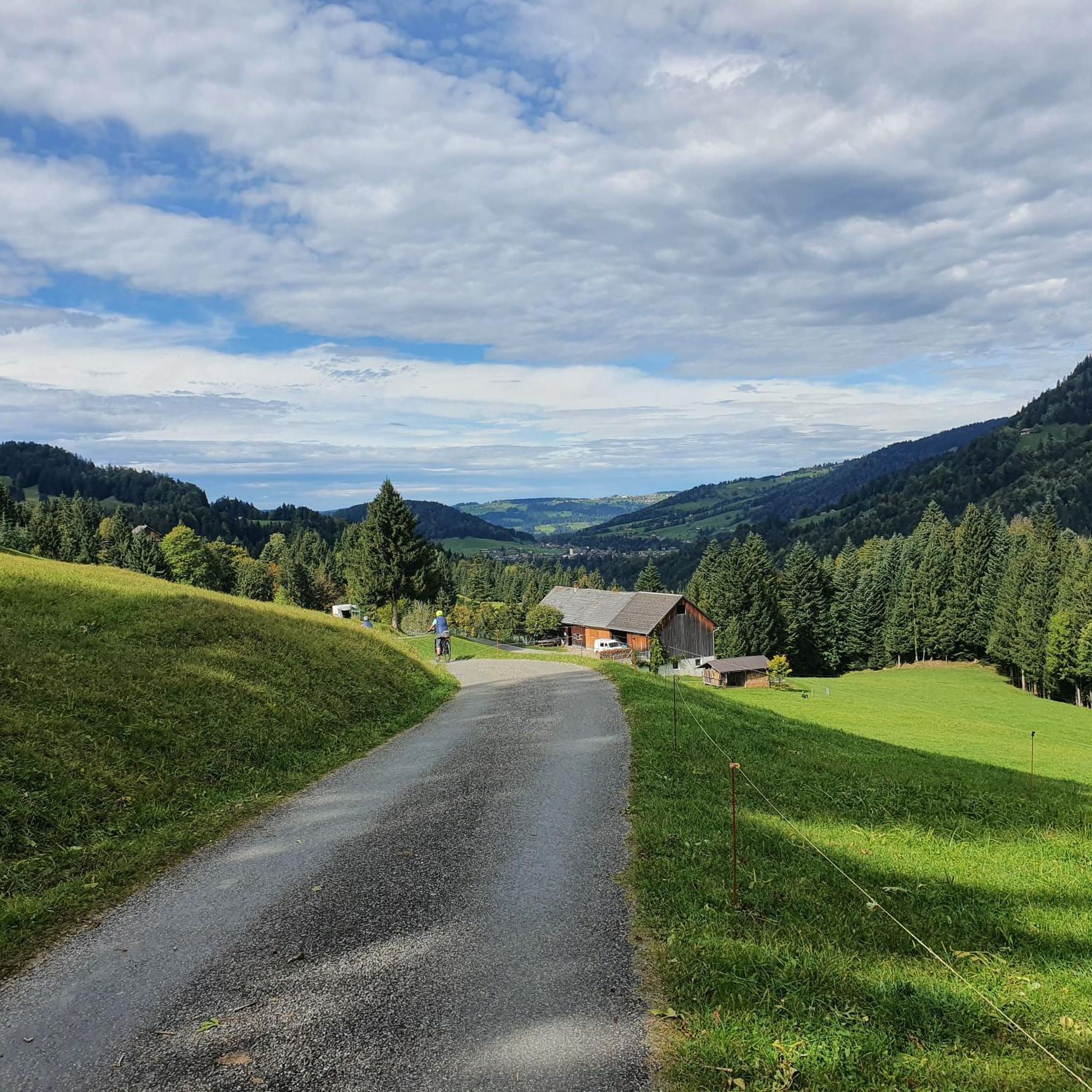
Road cycling routes in Wildschutzgebiet Sibratsgfäll, Schattseite traverse a landscape characterized by green river valleys, high-altitude alpine pastures, and lush forests. The region, situated at an elevation of 930 meters, is encircled by panoramic mountain views including the Gottesackerwände, Hoher Ifen, and Diedamskopf mountains. Paved roads wind through scenic areas like Rindberg and follow the Subersach river, offering diverse terrain for road cyclists. The area also features unique geological formations of the Nagelfluhkette Nature Park.
Best road cycling routes in…
Last updated: November 5, 2026
4.8
(38)
1,325
riders
125km
07:13
2,930m
2,930m
Hard road ride. Very good fitness required. Mostly well-paved surfaces and easy to ride.
5.0
(2)
99
riders
Hard road ride. Very good fitness required. Mostly well-paved surfaces and easy to ride.

5.0
(1)
73
riders
43.7km
02:22
850m
860m
Moderate road ride. Good fitness required. Mostly well-paved surfaces and easy to ride.
4.3
(3)
77
riders
Moderate road ride. Good fitness required. Some segments of this route may be unpaved and difficult to ride.
3.0
(1)
65
riders
52.3km
02:27
660m
660m
Moderate road ride. Good fitness required. Mostly well-paved surfaces and easy to ride.
Get access to more routes and recommendations from other explorers.
Already have an account?
Our route recommendations are based on thousands of hikes, rides, and runs completed by other people on komoot.
Start today with a free account
Your next adventure awaits.
Popular around Wildschutzgebiet Sibratsgfäll, Schattseite
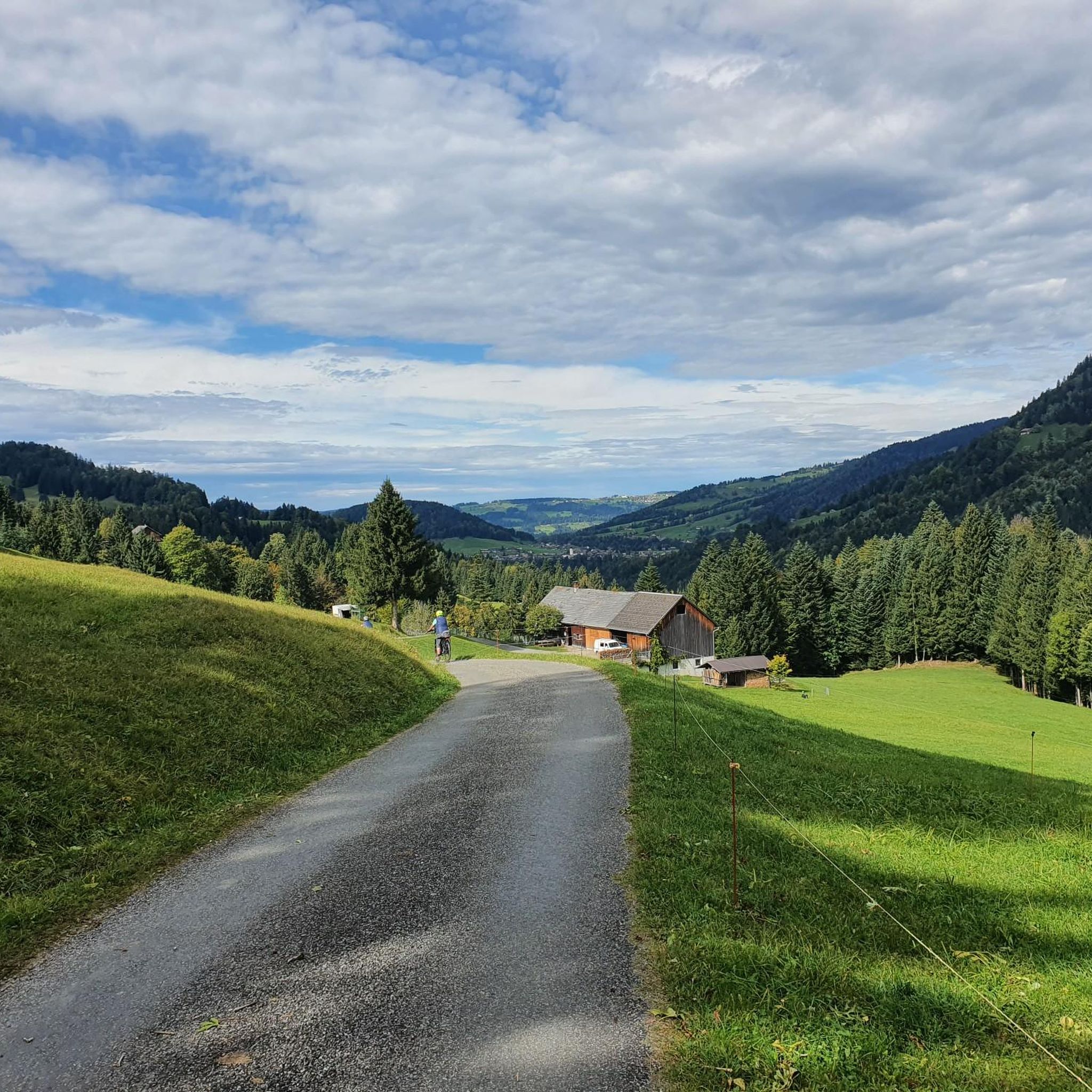
Hiking in Wildschutzgebiet Sibratsgfäll, Schattseite

Gravel biking in Wildschutzgebiet Sibratsgfäll, Schattseite
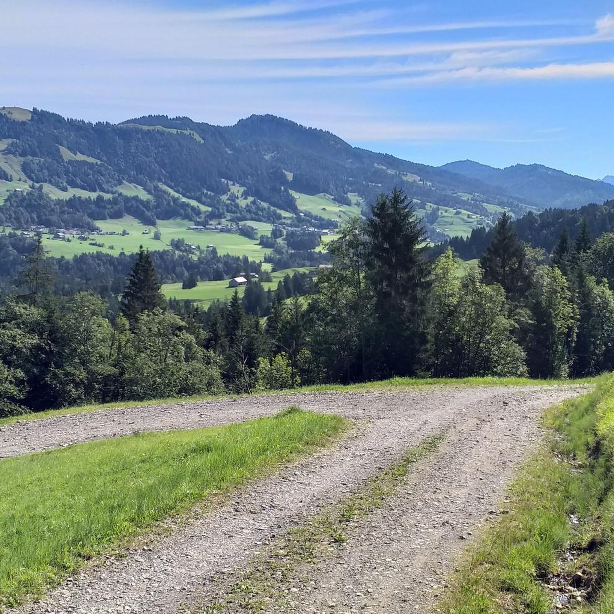
Cycling in Wildschutzgebiet Sibratsgfäll, Schattseite
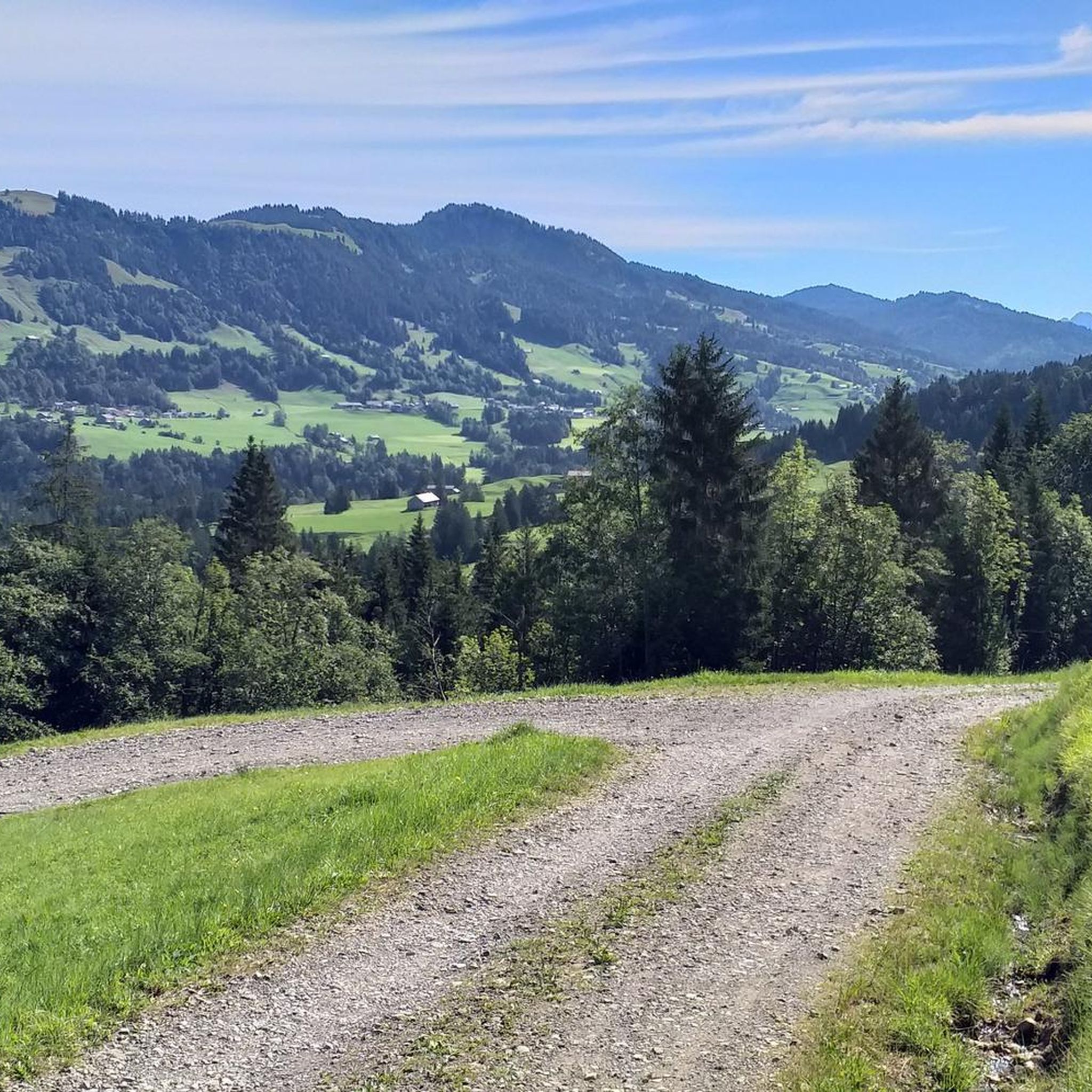
MTB Trails in Wildschutzgebiet Sibratsgfäll, Schattseite
Mountain Hikes in Wildschutzgebiet Sibratsgfäll, Schattseite
Running Trails in Wildschutzgebiet Sibratsgfäll, Schattseite
Tips from the Community

It is a beautiful panorama.
1
0

Outside of opening hours, two vending machines are available. One machine for EC card payment, the other for cash payment.
0
0

Great route and excellent to ride, as a little extra there is also a great panorama.
0
0
Beautiful corner for hiking and cycling
0
0

Just a little bit further to the lake shore...
1
0
Beautiful view of the lake from the path
0
0

The Alpe Schattenwald in the Roormoos valley invites you to linger.
1
0

Yes, a dream landscape
0
0
Frequently Asked Questions
What is the typical terrain and difficulty level for road cycling in Wildschutzgebiet Sibratsgfäll, Schattseite?
The region offers a diverse range of terrain, from green river valleys to high-altitude alpine pastures and lush forests. Roads are generally paved, but some segments may be unpaved and more challenging. You'll encounter routes with varying difficulty levels, from easy to difficult, often featuring extensive climbs and panoramic mountain vistas. Out of 37 routes, 1 is easy, 25 are moderate, and 11 are difficult.
What natural features and landmarks can I expect to see while road cycling in this region?
Road cycling routes in Wildschutzgebiet Sibratsgfäll, Schattseite often pass through scenic areas like Rindberg, follow the Subersach river, and wind through the unique geological formations of the Nagelfluhkette Nature Park. You can also expect panoramic mountain views of the Gottesackerwände, Hoher Ifen, Diedamskopf, and Winterstaude mountains. Notable attractions include the Winding Gravel Path Near Schetteregg and the Alpine Pasture With Highland Cattle.
Are there any specific scenic viewpoints along the road cycling routes?
Yes, many routes offer stunning scenic viewpoints. For instance, the View of Oberstaufen – View of Sulzberg loop from Hittisau provides expansive views towards Oberstaufen and Sulzberg. You'll also find picturesque spots along the Subersach river and in areas like Rindberg, offering vistas of the Gottesackerwände mountain faces and the surrounding alpine landscape.
What is the best time of year for road cycling in Wildschutzgebiet Sibratsgfäll, Schattseite?
The region is best enjoyed for road cycling during the warmer months, typically from late spring through early autumn. During this period, the alpine pastures are green, and the weather is generally favorable for cycling. Winter conditions can make many routes challenging or inaccessible due to snow and ice, especially at higher elevations.
Are there family-friendly road cycling routes available?
While many routes involve significant elevation changes, there is at least one easy road cycling route available, which might be suitable for families or those seeking a less strenuous ride. Look for routes that follow river valleys or have minimal elevation gain for a more relaxed experience.
Can I bring my dog along on road cycling routes in the area?
While the region is generally dog-friendly for outdoor activities like hiking, specific regulations for dogs on road cycling routes are not explicitly detailed. It's always advisable to keep dogs on a leash, especially in wildlife protection areas and near livestock, and to ensure they are fit enough for the chosen route. Always carry water for your dog.
Where can I find parking for road cyclists in Wildschutzgebiet Sibratsgfäll, Schattseite?
As Sibratsgfäll is a village and a hub for outdoor activities, you can typically find parking options within or near the village center. Many routes start from Sibratsgfäll or nearby towns like Hittisau, where public parking is usually available. It's recommended to check local signage for specific parking regulations and fees.
Is Wildschutzgebiet Sibratsgfäll, Schattseite accessible by public transport for cyclists?
Sibratsgfäll is part of the Bregenzerwald region, which generally has public transport connections. Buses often serve the villages in the area. However, specific information on transporting bicycles on public transport should be verified with local transport providers, as policies can vary.
What do other road cyclists enjoy the most about road cycling in Wildschutzgebiet Sibratsgfäll, Schattseite?
The area is highly rated by the komoot community, with an average score of 4.4 stars from nearly 100 reviews. Cyclists often praise the diverse landscape, the challenging climbs, and the rewarding panoramic mountain views. The well-maintained paved roads and the unique geological features of the Nagelfluhkette Nature Park are also frequently highlighted.
Are there any loop road cycling trails in the region?
Yes, many of the road cycling routes in Wildschutzgebiet Sibratsgfäll, Schattseite are designed as loops, allowing you to start and end in the same location. Examples include the challenging Sausteig Pass summit – Bödele – Losen Pass (1,140 m) loop from Sibratsgfäll and the moderate North Shore of the Großer Alpsee – Konstanz Valley loop from Hittisau.
What kind of accommodation and dining options are available for cyclists in Sibratsgfäll?
Sibratsgfäll and the surrounding Bregenzerwald region offer various accommodation options, from guesthouses and hotels to holiday apartments. You'll also find local cafes and pubs where you can refuel and enjoy regional cuisine. These establishments are generally welcoming to cyclists, providing a good opportunity to rest and experience local hospitality.
Most popular routes in Wildschutzgebiet Sibratsgfäll, Schattseite
Most popular attractions in Wildschutzgebiet Sibratsgfäll, Schattseite

Get inspired with the komoot mobile app


Explore more
Browse the best Road cycling routes in other regions.
