Fischburger Tal - Hirschkopf - Scheibe
Fischburger Tal - Hirschkopf - Scheibe
The best mountain hikes in Fischburger Tal - Hirschkopf - Scheibe
1.0
(1)
20
hikers
5
hikes
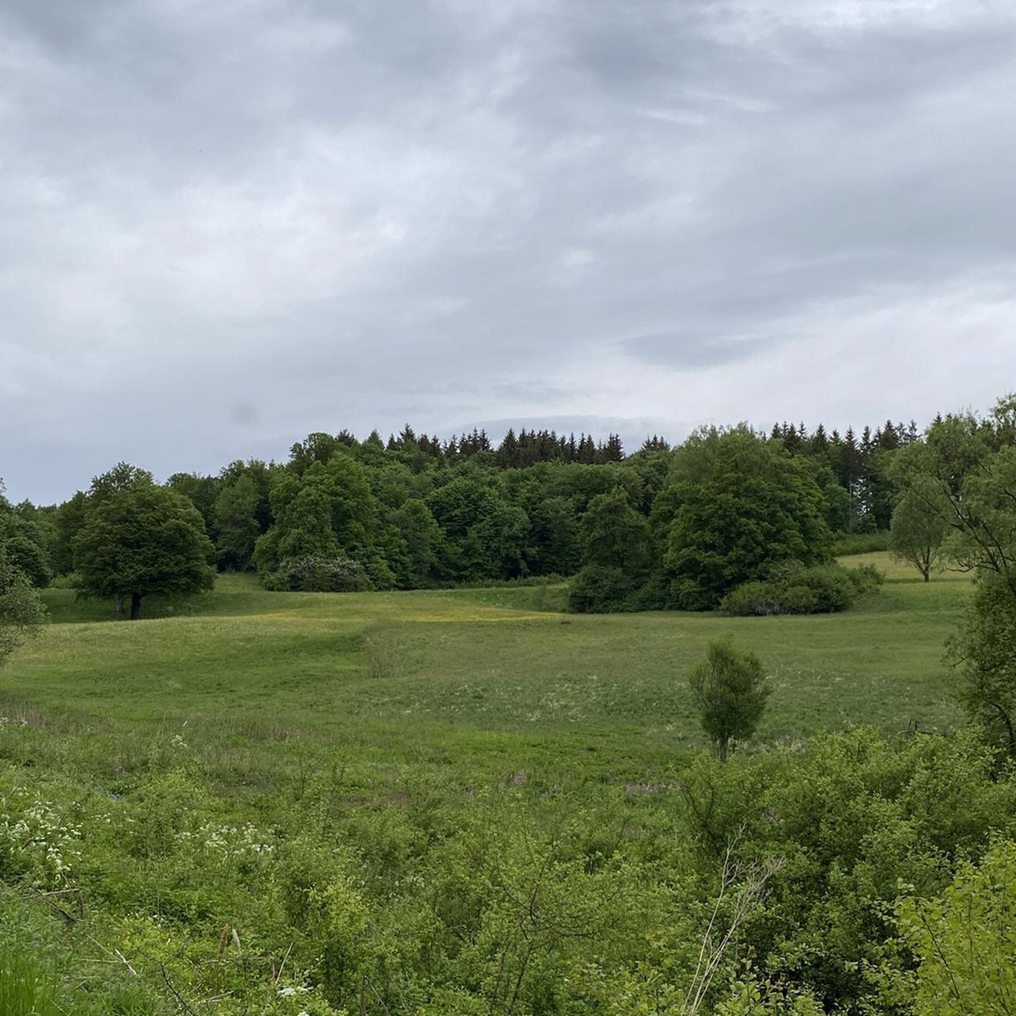
Mountaineering routes in Fischburger Tal - Hirschkopf - Scheibe traverse the unique karst landscape of the Swabian Alb Biosphere Reserve. This region is characterized by impressive limestone formations, deep valleys, and the dramatic Albtrauf escarpment, offering varied terrain for outdoor activities. The area features a mosaic of forests, including natural old beech forests, alongside ecologically valuable juniper heaths. These physical features provide a diverse environment for mountain hiking and challenging treks within a low mountain range context.
Best mountaineering routes in Fischburger Tal - Hirschkopf - Scheibe
- The most popular mountaineering route is Urach Waterfall – Brühlbach Stream Trail loop from Bad Urach Wasserfall, an easy 4.0 miles (6.5 km) trail that takes 1 hour 57 minutes to complete. This route explores the scenic Urach Waterfall and Brühlbach Stream.
- Another top favourite among local mountaineers is Wolfsschlucht Gorge – Split Rock loop from Seeburg, a moderate 7.0 miles (11.3 km) path. This trail navigates through the Wolfsschlucht Gorge and offers views of the Split Rock formation.
- Local mountaineers also love the Hohenurach Castle Ruins – View from the Rutschenfelsen loop from Bad Urach Wasserfall, a 6.7 miles (10.9 km) trail leading through varied forest and cliffside terrain, often completed in about 3 hours 35 minutes.
- Mountaineering in Fischburger Tal - Hirschkopf - Scheibe is defined by its karst topography, dramatic Albtrauf escarpment, and diverse forests. The network offers options for easy, moderate, and difficult ability levels.
- The guide includes highly-rated routes that showcase the best of the region's landscape. Nearly 20 mountaineers have used komoot to explore Fischburger Tal - Hirschkopf - Scheibe's varied terrain.
Last updated: October 5, 2026
1
hikers
12.5km
03:39
320m
330m
Moderate mountaineering route. Good fitness required. Easily-accessible paths. Suitable for all skill levels.
3
hikers
10.7km
03:23
390m
390m
Moderate mountaineering route. Good fitness required. Mostly accessible paths. Sure-footedness required.

1.0
(1)
11
hikers
7.39km
02:15
250m
250m
Moderate mountaineering route. Good fitness required. Easily-accessible paths. Suitable for all skill levels.
2
hikers
Hard mountaineering route. Good fitness required. Sure-footedness, sturdy shoes and alpine experience required.
3
hikers
Moderate mountaineering route. Good fitness required. Mostly accessible paths. Sure-footedness required.
Our route recommendations are based on thousands of hikes, rides, and runs completed by other people on komoot.
Start today with a free account
Your next adventure awaits.
Popular around Fischburger Tal - Hirschkopf - Scheibe
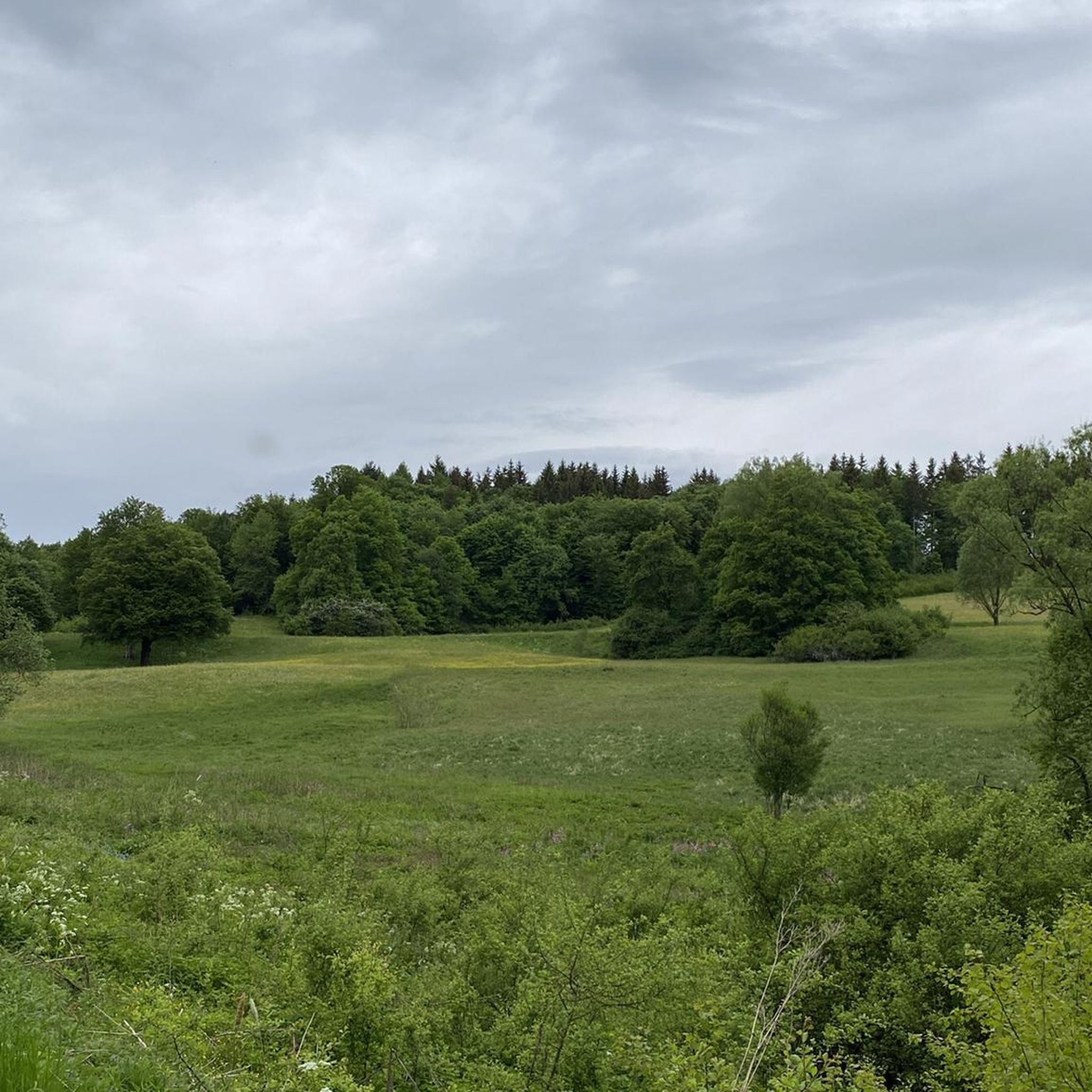
Hiking in Fischburger Tal - Hirschkopf - Scheibe
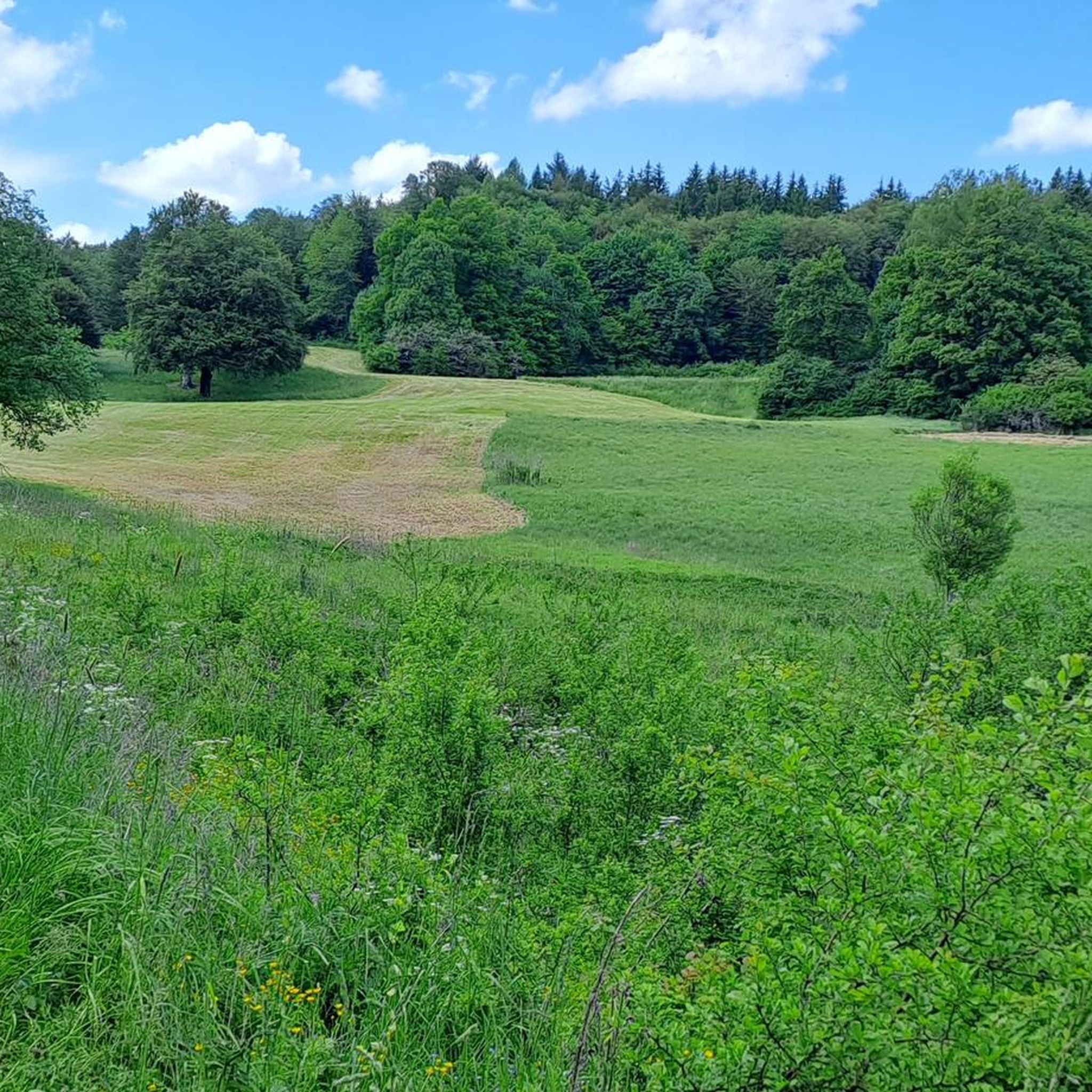
Cycling in Fischburger Tal - Hirschkopf - Scheibe
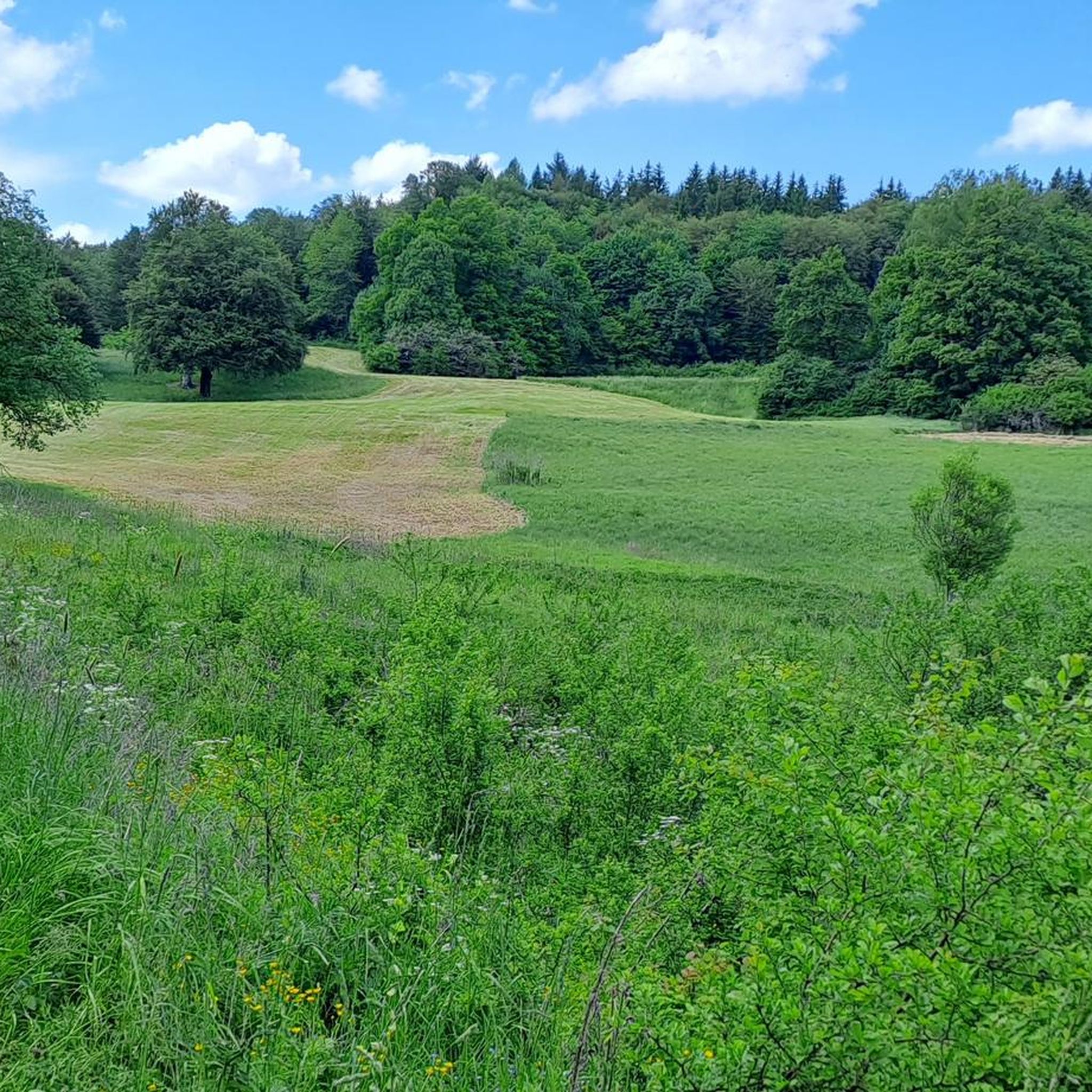
MTB Trails in Fischburger Tal - Hirschkopf - Scheibe
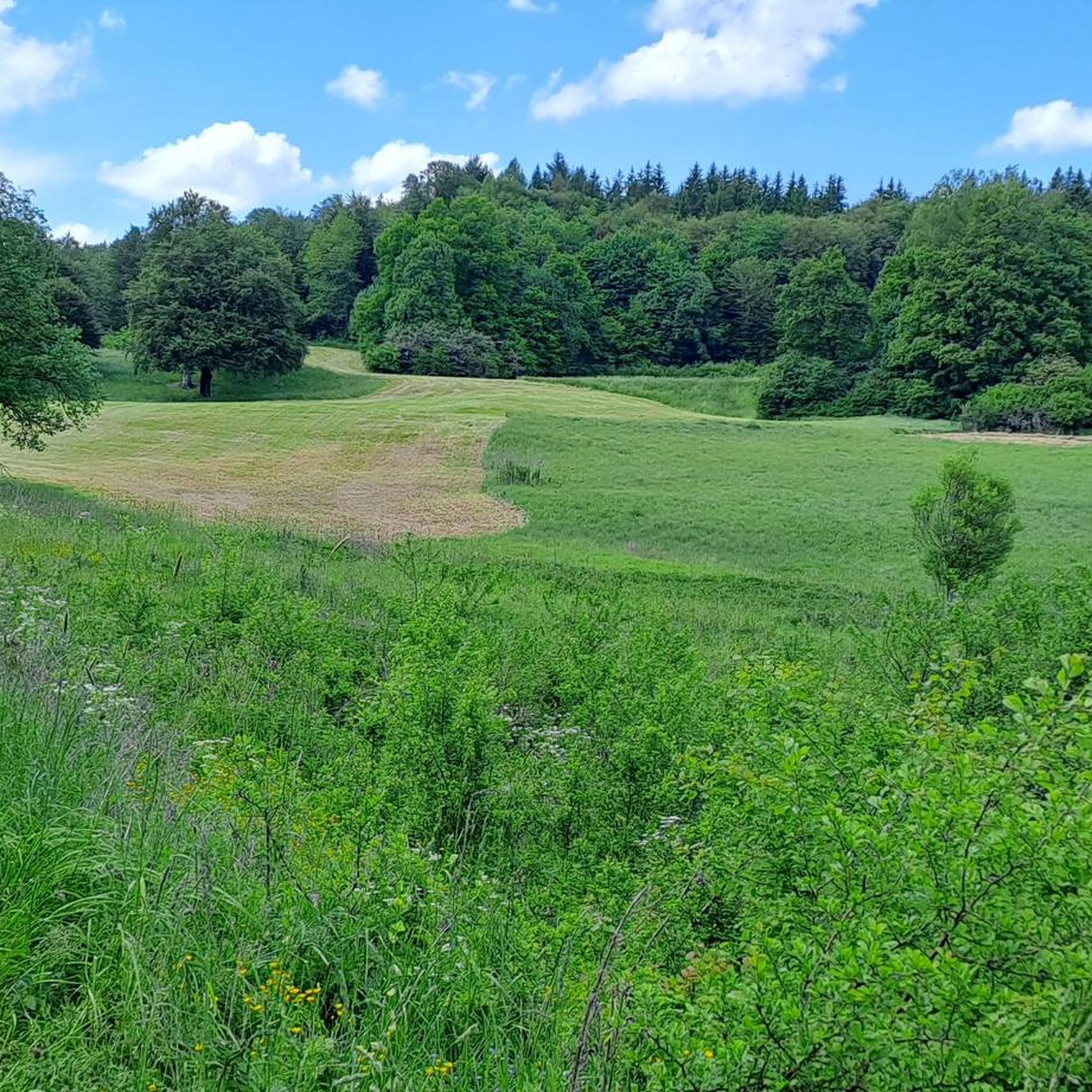
Road Cycling Routes in Fischburger Tal - Hirschkopf - Scheibe

Gravel biking in Fischburger Tal - Hirschkopf - Scheibe
Running Trails in Fischburger Tal - Hirschkopf - Scheibe
Tips from the Community


Always a highlight again, especially in spring, when the water masses are larger
1
0


A little to the south lies the Rutschenhof Brünnele, probably the shortest stream on the Alb
1
0

Free and even shaded parking. Ideal as a starting point for the circular hike.
1
0

The Rutschenfelsen is always worth a break. The view is fantastic!
1
0

Always remember: rarely in your life are you so close to the edge! The view is always rewarding, even in bad weather.
1
0

Great view of the ruins of Hohen Urach
1
1
Frequently Asked Questions
What kind of mountaineering challenges can I expect in Fischburger Tal - Hirschkopf - Scheibe?
The region, part of the Swabian Alb Biosphere Reserve, offers diverse challenges ranging from easy paths to difficult treks. You'll encounter the distinctive karst landscape with limestone formations, deep valleys, and the dramatic Albtrauf escarpment. Trails often navigate varied forest and cliffside terrain, requiring good fitness and sure-footedness for more demanding sections.
How many mountaineering routes are available in this guide?
This guide features 6 carefully selected mountaineering routes in Fischburger Tal - Hirschkopf - Scheibe, catering to various skill levels. There is 1 easy route, 4 moderate routes, and 1 difficult route to explore.
Are there routes suitable for beginners or those looking for an easier experience?
Yes, there is an easy route available. The Urach Waterfall – Brühlbach Stream Trail loop from Bad Urach Wasserfall is a 4.0-mile (6.5 km) trail that explores the scenic Urach Waterfall and Brühlbach Stream, perfect for a less strenuous outing.
Are there any routes that feature waterfalls?
Absolutely! The region is known for its beautiful waterfalls. You can experience the impressive Urach Waterfall on the easy Urach Waterfall – Brühlbach Stream Trail loop from Bad Urach Wasserfall. Another route, the The Runde Berg – Güterstein waterfall loop from Bad Urach Ermstalklinik, also features a waterfall.
What natural features define the landscape of Fischburger Tal - Hirschkopf - Scheibe?
The landscape is characterized by its unique karst topography, featuring impressive limestone formations, caves, sinkholes, and dry valleys. The dramatic Albtrauf escarpment offers breathtaking panoramic views, while a mosaic of forests, including natural old beech forests, and ecologically valuable juniper heaths add to the region's natural beauty.
What interesting sights or landmarks can I explore along the trails?
Beyond the natural beauty, you can discover several points of interest. The Fischburgtal itself is a notable gorge. You might also encounter the Fischbach Stream and Mossy Terraces or the Scenic Descent Through the Fischbach Valley. For a historical touch, the Georg Gabriel Warburg Burial Site is also nearby.
Are the mountaineering routes in Fischburger Tal - Hirschkopf - Scheibe suitable for families?
While some routes are challenging, there are options suitable for families. The easy Urach Waterfall – Brühlbach Stream Trail loop from Bad Urach Wasserfall is a good choice for families looking for a scenic and manageable hike. Always check the route's difficulty and length to ensure it matches your family's capabilities.
Can I bring my dog on the trails?
Many trails in the Swabian Alb region are dog-friendly, but it's always advisable to keep your dog on a leash, especially in nature reserves or near wildlife. Be mindful of other hikers and any specific signage regarding dogs on individual routes. Ensure your dog is fit for the chosen trail's difficulty and duration.
What is the best time of year to go mountaineering in this region?
The Swabian Alb is beautiful year-round. Spring offers lush greenery and blooming flora, while autumn provides stunning fall colors. Summer is ideal for longer days and warmer weather, though some trails can be busy. Winter hiking is possible, but conditions can be challenging with snow and ice, especially on steeper sections or the Albtrauf. Always check local weather and trail conditions before heading out.
Are there circular routes available?
Yes, all the routes featured in this guide are circular, allowing you to start and end at the same point without needing to arrange transport back. Examples include the moderate Wolfsschlucht Gorge – Split Rock loop from Seeburg and the challenging Hohenurach Castle Ruins – View from the Rutschenfelsen loop from Bad Urach Wasserfall.
Where can I find parking or trailheads for these routes?
Many routes in the Fischburger Tal - Hirschkopf - Scheibe area start from well-known points like Bad Urach Wasserfall or Seeburg, where parking is typically available. For example, the Urach Waterfall – Brühlbach Stream Trail loop starts from Bad Urach Wasserfall. Always check the specific route details on komoot for precise trailhead locations and parking information.
What should I wear or bring for mountaineering in this area?
Given the varied terrain, sturdy hiking boots with good ankle support are essential. Layered clothing is recommended to adapt to changing weather conditions, as well as waterproof outer layers. Bring sufficient water, snacks, a map or GPS device (like komoot's app), and a first-aid kit. For more challenging routes, poles can be helpful.
Are there places to eat or drink near the trails?
The region, particularly around towns like Bad Urach, offers various amenities. You'll find cafes, restaurants, and pubs where you can refuel after your hike. It's a good idea to check opening times, especially in smaller villages or during off-peak seasons. Some routes might also pass by huts or inns, but these can be seasonal.
What do other mountaineers say about the routes in Fischburger Tal - Hirschkopf - Scheibe?
The routes in Fischburger Tal - Hirschkopf - Scheibe are popular among the komoot community, with nearly 20 mountaineers having explored the area using komoot. Users often praise the diverse landscape, the impressive natural features like the Urach Waterfall and the Albtrauf views, and the well-maintained trails that offer a good mix of challenge and scenic beauty.
Most popular routes in Fischburger Tal - Hirschkopf - Scheibe
Most popular attractions in Fischburger Tal - Hirschkopf - Scheibe

Get inspired with the komoot mobile app


Explore more
Browse the best Mountain Hikes & Routes in other regions.
