Attractions and Places To See in Donauhänge Und Auen Zwischen Leipheim Und Offingen - Top 17
Best attractions and places to see in Donauhänge Und Auen Zwischen Leipheim Und Offingen include a diverse range of natural landscapes and cultural sites. This nature reserve in Bavaria features natural slope forests and hardwood floodplains along the Danube River. The area is well-suited for outdoor activities such as hiking and cycling, offering numerous trails and opportunities for nature observation. Historical landmarks and religious sites also contribute to the region's appeal.
Best attractions and places to see in Donauhänge Und…
Last updated: August 2, 2026
Singletrack in the Danube Slopes and Floodplains between Leipheim and Offingen
Highlight • MTB Park
Translated by Google •
Tip by

Abendmahl Chapel on the hiking trail
Highlight • Religious Site
Translated by Google •
Tip by

Sign up now to discover places like this
Get recommendations on the best single tracks, peaks, & plenty of other exciting outdoor places.
Sign up for free
Kreuzberg Chapel in Reisensburg
Highlight • Religious Site
The Way of the Cross was officially built and inaugurated in 1747 and completed in 1828 with the construction of the Kreuzberg Chapel. The whole area around …
Translated by Google •
Tip by

St. Sixtus Parish Church, Reisensburg
Highlight • Religious Site
Translated by Google •
Tip by
100 Stäpfala
Highlight • Trail
Translated by Google •
Tip by

Sign up for free to discover even more attractions in Donauhänge Und Auen Zwischen Leipheim Und Offingen.
Sign up for free
Already have an account?
Start today with a free account
Your next adventure awaits.
Login or Signup
Popular around Donauhänge Und Auen Zwischen Leipheim Und Offingen
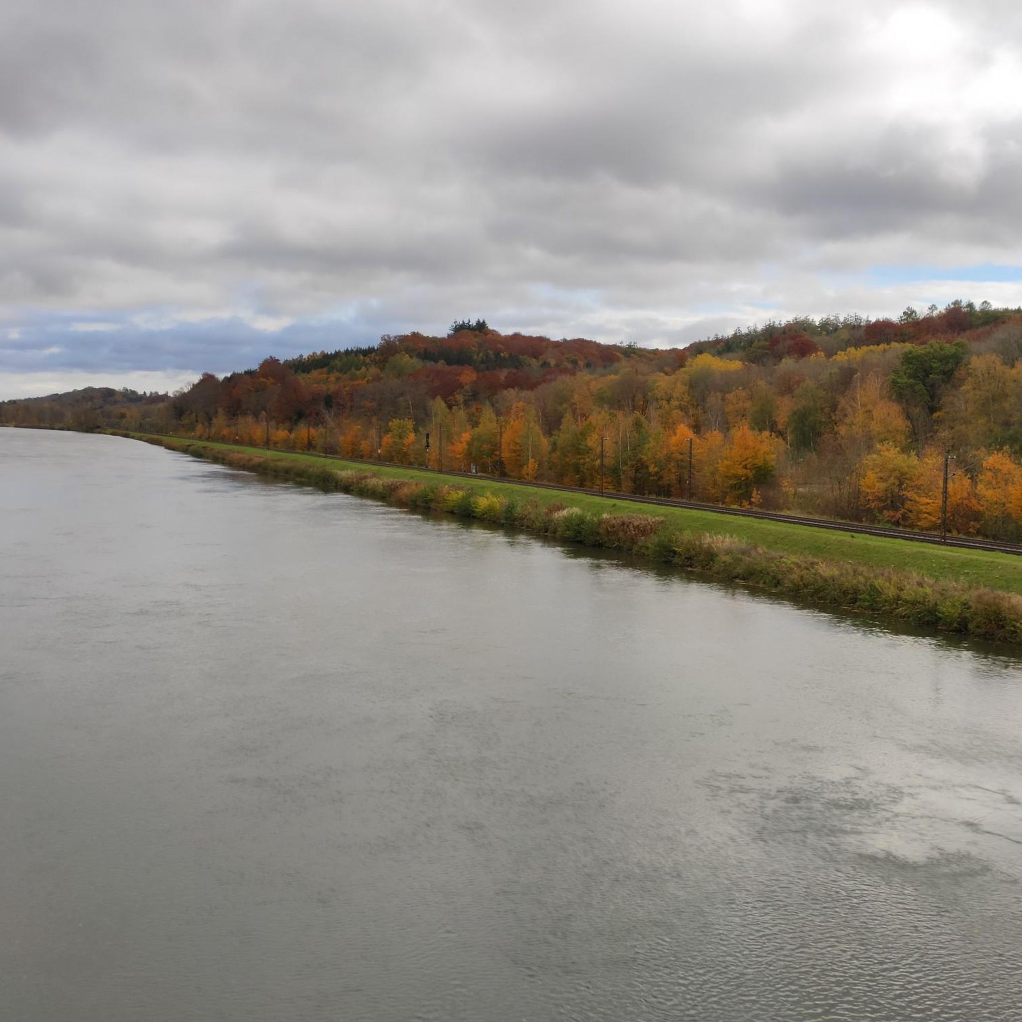
Cycling in Donauhänge Und Auen Zwischen Leipheim Und Offingen
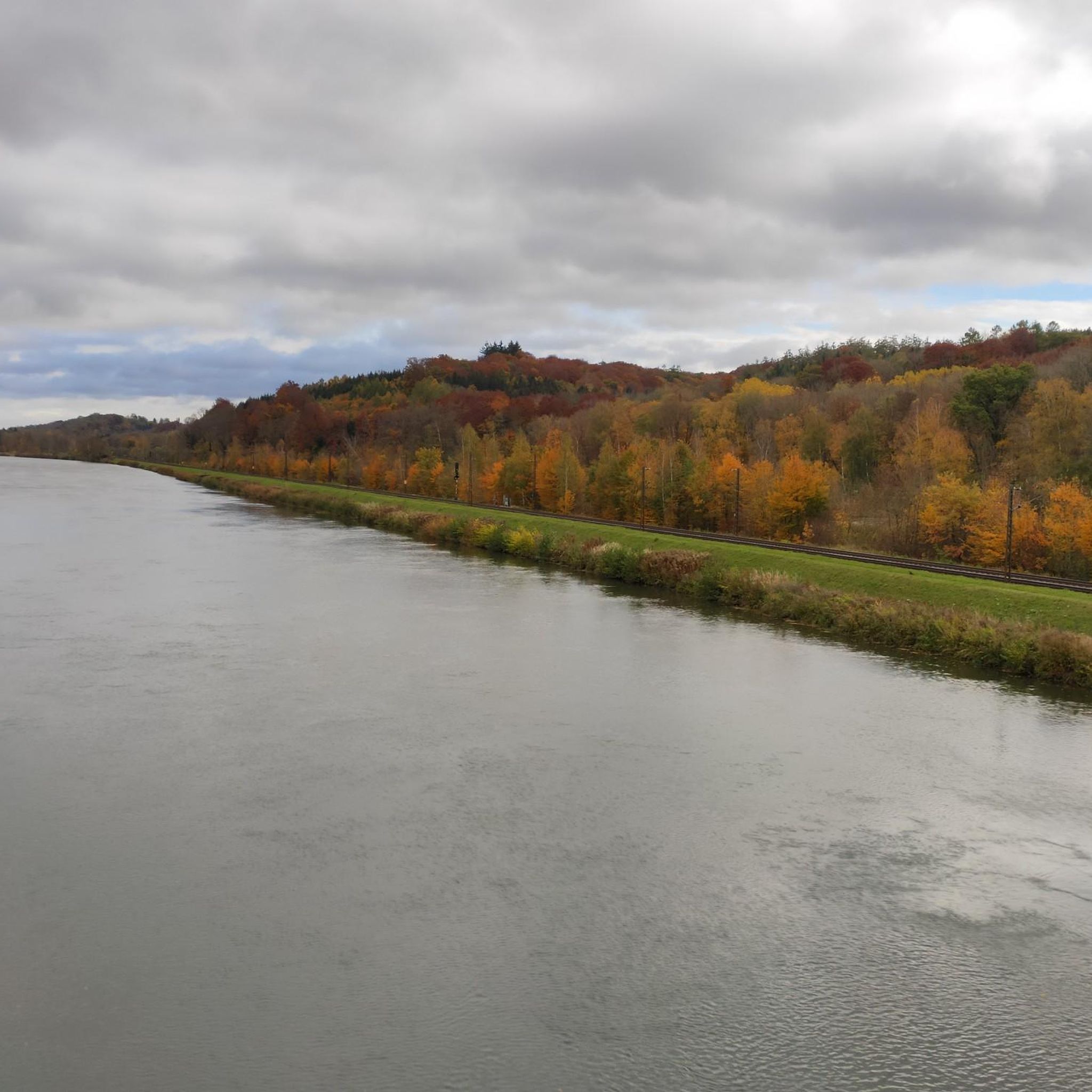
Hiking in Donauhänge Und Auen Zwischen Leipheim Und Offingen
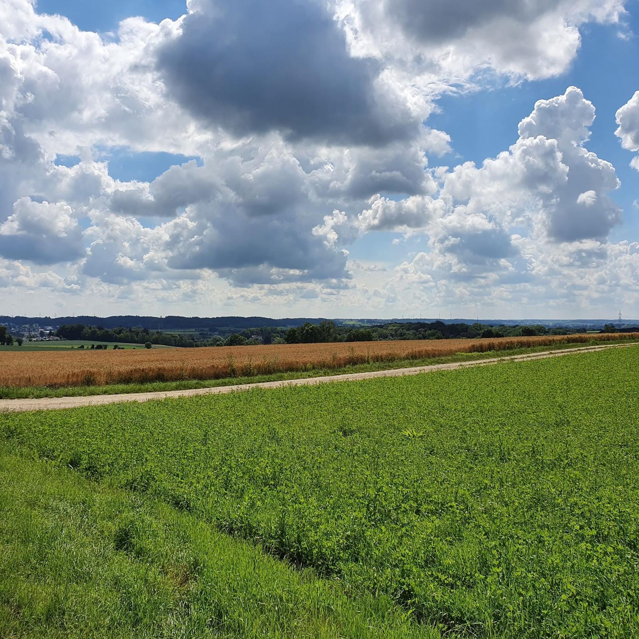
Road Cycling Routes in Donauhänge Und Auen Zwischen Leipheim Und Offingen
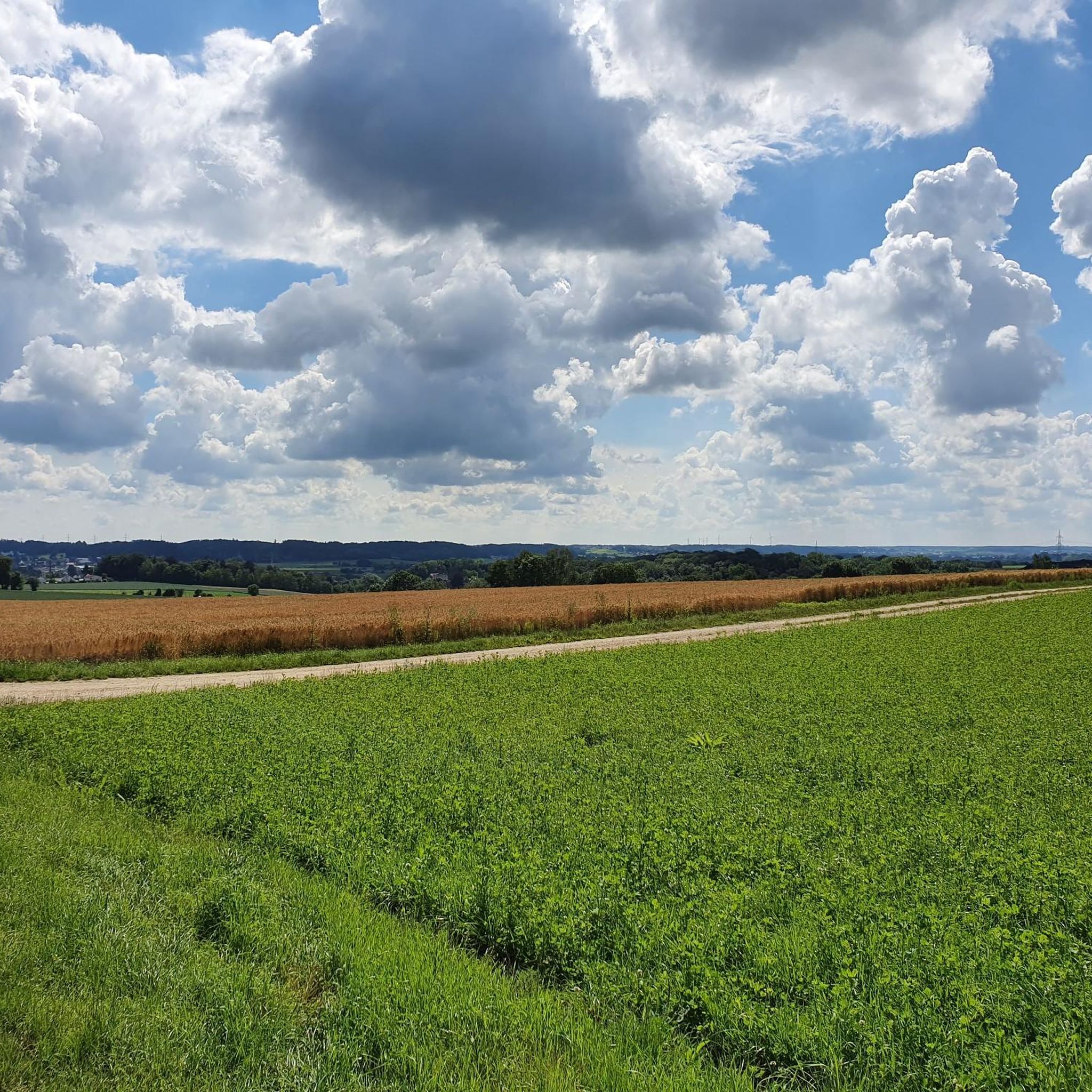
Running Trails in Donauhänge Und Auen Zwischen Leipheim Und Offingen
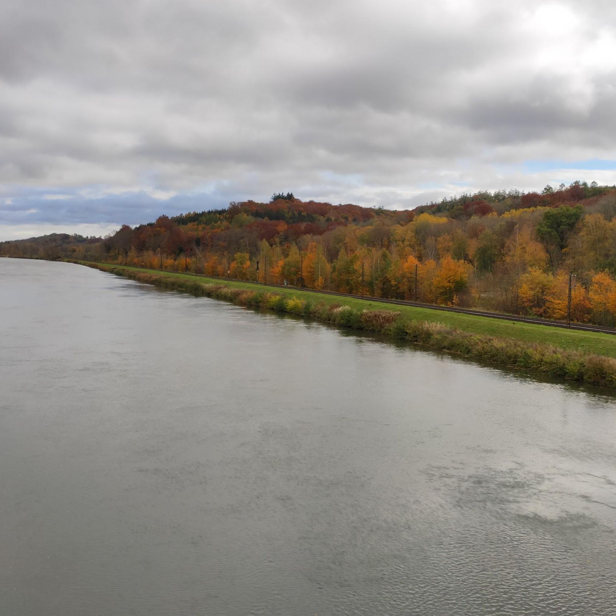
MTB Trails in Donauhänge Und Auen Zwischen Leipheim Und Offingen
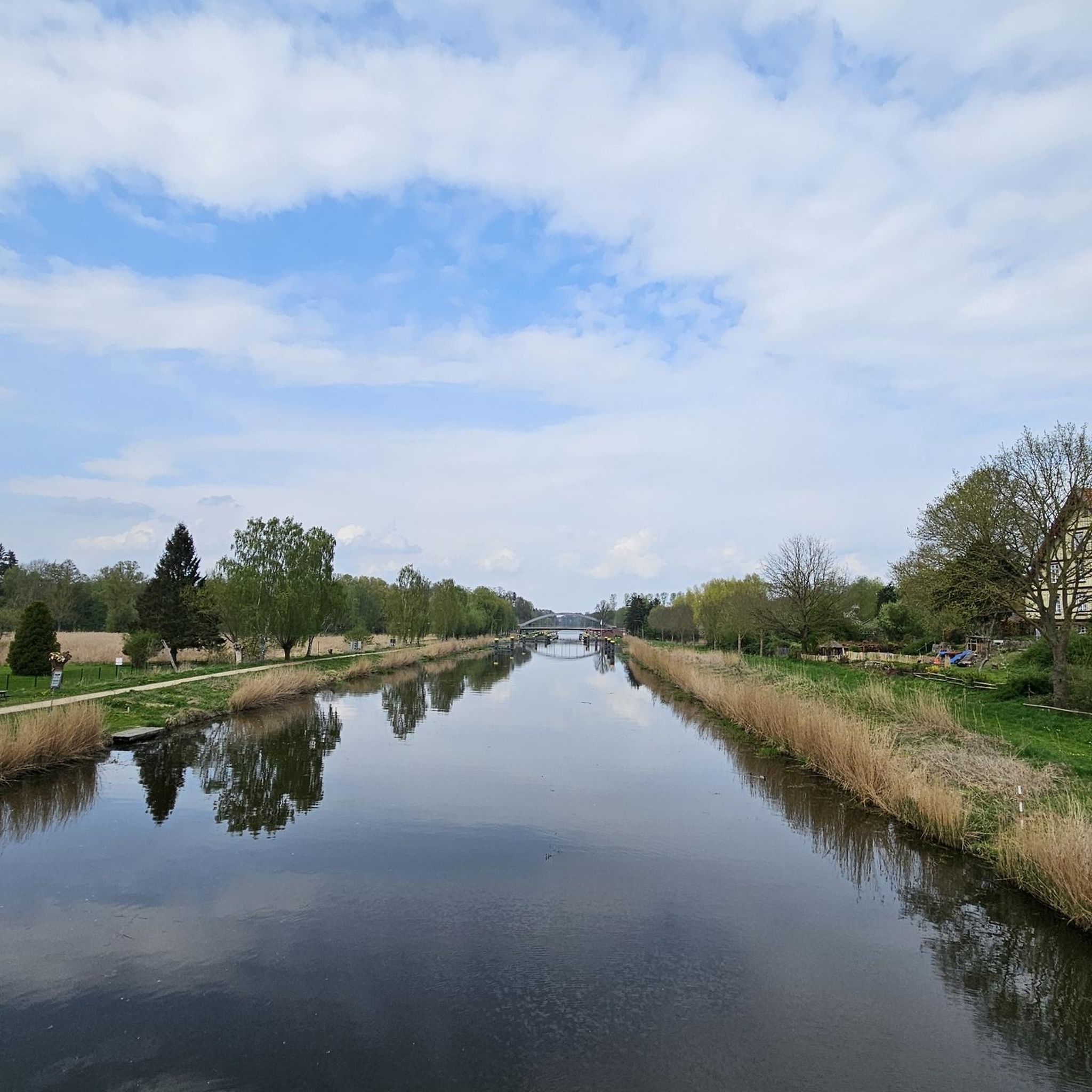
Gravel biking in Donauhänge Und Auen Zwischen Leipheim Und Offingen
Tips from the Community

The "100 Steps" trail leads from Offingen down to the "Black Bridge," a small bridge spanning the arch of the Danube. This descent of more than one hundred steps traditionally served as a shortcut for employees of the Neuoffingen train station and commuters. The path is part of the circular hiking trail along the Danube slopes from Günzburg to Offingen and is part of the "DonAUwald Premium Hiking Trail." The route leads through the idyllic Swabian hills and is well signposted.
0
0

The Reisensburg Way of the Cross, with its 15 stations, was and remains – not least because of the paintings by Georg Lacher, Reisensburg's most important son – considered the most outstanding cross-hill in the district, and perhaps even in all of Swabia. Many visitors seek relaxation and the peace that emanates from this ancient place of worship. They bring their requests or offer thanks to God at the chapel. In 2013, local residents renovated the stations on a voluntary basis.
1
0
It is unclear when Reisensburg received its first church. However, a church can be traced back to 1462. On May 8, 1780, one day after the Frauenkirche, Auxiliary Bishop Johann Nepomuk consecrated the Church of St. Sixtus in Reisensburg. Its medieval predecessor was demolished in 1767. The paintings of St. Sixtus, St. Peregrine, and "Christ on the Cross" are by Georg Lacher. In 1987/1988, the interior was redesigned and equipped with three new Baroque altars painted on the walls. Source: https://pg-guenzburg.de/kirchenfuehrer.html
1
0
The first premium hiking trail in Bavarian Swabia leads from Günzburg into the floodplain forest along the Danube – a paradise for nature lovers. The Danube Forest is one of the largest contiguous floodplain forests along German rivers and impresses with its extraordinary biodiversity. You can discover this unique diversity over approximately 59 kilometers, spread over five stages between Günzburg and Schwenningen. The first stage is ideal for a circular hike: The impressive "Danube slopes" take you from Offingen back to Günzburg. Source: https://www.guenzburg-tourismus.de/erkunden/aktiv-natur/wandern/#/de/guenzburg/default/search/Tour/tag:%20%22Wandern%22/difficulty:1,5/distance:0,100/duration:0,10/climb:0,2000/roundtour:0/reststop:0/family:0/view:list/sort:relevance
1
0

Supposedly there are 100 steps - I didn't count them!
0
0

The levels of the singletrack scale: S0 - very easy: The easiest type of trail is characterized by gentle to moderate gradients, non-slip surfaces and wide curves. There are no special demands on driving technique to overcome it. S1 - easy: Here you can expect smaller obstacles such as roots or stones. The ground is partly unconsolidated and the curves become narrower, but without any hairpin bends. The maximum gradient here is 40%. S2 - medium: The level of difficulty increases and larger stones and roots are to be expected. Rarely solid ground under the wheels and there are shallow steps or stairs. Tighter curves must also be taken regularly and the steepness can be up to 70%. S3 - difficult: In this category you are already moving in blocked terrain with larger boulders or longer root passages. Switchbacks and diagonal turns occur and you often have to expect loose ground. There are regular gradients of 70%. S4 - very difficult: It gets steep and really blocked. Long, demanding root passages and large boulders have to be overcome and loose scree is the order of the day. Hairpin bends and steep ramps place special demands on your riding technique and there are steps where the chainring comes into contact. S5 - extremely heavy: The upper end of the scale is characterized by heavily blocked terrain, counter climbs, loose ground with scree, narrow hairpin bends and high obstacles such as fallen trees - including, of course, steep gradients. There is little braking distance and the MTB riding technique is put to a tough test.
1
1
Hi macpsger, We have far bigger problems in Germany than if a small bicycle lane is left for a few 100m meters in the landscape protection area. Sorry but that's really an exaggeration. I am a very big nature lover myself and collect all rubbish from the forest I pass, carry snails from the road to the side of the path, I even save individual earthworms that are almost drying out. This little way doesn't destroy anything in the ecosystem but is fun for people who escape from their stressful everyday lives to have a little fun in our Germany, because what's going on right now is anything but justifiable. Greetings Marcus
4
1

The St. Sixtus Church is below the Reisensburg Castle and was built in the 18th century.
0
0
Frequently Asked Questions
What natural features can I explore in Donauhänge Und Auen Zwischen Leipheim Und Offingen?
The region is rich in natural landscapes, featuring natural slope forests (Hangwälder) and hardwood floodplains (Hartholzauenwälder) along the Danube River. You can explore the Leipheimer Moos, a significant breeding ground for meadow birds and a resting place for rare species. The Faiminger Stausee is also a major bird migration resting place. In spring, the floodplains near Leipheim are carpeted with Märzenbecher (snowflakes).
Are there opportunities for hiking in the Donauhänge Und Auen region?
Yes, the region is excellent for hiking. Popular routes include the DonauHänge - Circular Route Stage DonAUwald, an 18.5-kilometer circular hike starting from Günzburg train station. The longer DonAUwald Premium Hiking Trail stretches over 60 km between Günzburg and Schwenningen. You can find many more options, including easy and moderate trails, in the Hiking in Donauhänge Und Auen Zwischen Leipheim Und Offingen guide.
What cultural and historical sites can I visit in the area?
The region offers several historical and religious sites. You can visit Kreuzberg Chapel in Reisensburg, which marks the culmination of a Stations of the Cross established in 1747. Another significant religious building is St. Sixtus Parish Church, Reisensburg, consecrated in 1780. The historic Schloss Reisensburg, part of Ulm University, is also a notable landmark. Additionally, sections of an old Roman road can be found behind Offingen.
Are there cycling routes available in Donauhänge Und Auen Zwischen Leipheim Und Offingen?
Absolutely! The area is very well-suited for cycling. You can find numerous routes, including the Bike Path Along the Danube and the Danube Riverside Cycle Path. For more detailed information and various route options, check out the Cycling in Donauhänge Und Auen Zwischen Leipheim Und Offingen guide.
Where can I find good viewpoints in the Donauhänge Und Auen?
While the Donautal Observation Tower is currently closed due to structural damage, the Kreuzberg Chapel in Reisensburg offers elevated views of the surrounding landscape. The 'Stäpfala' (100 Steps) also lead into the slope forests on the southern side of the Danube, providing interesting perspectives along hiking routes.
When is the best time to visit Donauhänge Und Auen Zwischen Leipheim Und Offingen for nature observation?
Spring is particularly beautiful when the floodplains near Leipheim are covered with Märzenbecher (snowflakes). Both spring and autumn are ideal for birdwatching, as the Faiminger Stausee attracts thousands of migratory birds during these seasons.
Are there mountain biking trails in the region?
Yes, for mountain biking enthusiasts, there is a Singletrack in the Danube Slopes and Floodplains between Leipheim and Offingen with jumps and a dirt track. This trail offers various difficulty levels, from S0 (very easy) to S5 (extremely heavy), catering to different skill sets.
What do visitors enjoy most about Donauhänge Und Auen Zwischen Leipheim Und Offingen?
Visitors frequently appreciate the region's natural beauty and tranquility, especially the extensive floodplain forests and the opportunities for outdoor activities. The historical and religious sites, such as the Kreuzberg Chapel in Reisensburg, are also highly valued for their peaceful atmosphere and cultural significance.
Are there any family-friendly activities or walks in the area?
The diverse natural landscapes and well-maintained trails make many areas suitable for families. The Leipheimer Moos, with its information and guidance system about local flora and fauna, can be an engaging experience for children. Many of the easy hiking and cycling routes are also suitable for families.
Can I find running trails near the attractions?
Yes, the region offers several running trails. You can find routes like the Danube Cyclist Rest Stop loop from Offingen or the Reisensburg Castle loop from Topflet und Obere Aschau. For a comprehensive list of options, refer to the Running Trails in Donauhänge Und Auen Zwischen Leipheim Und Offingen guide.
What is the significance of the Günzburg Old Town in relation to this region?
Günzburg Old Town, often called 'Klein Wien' (Little Vienna) due to its Habsburg development, serves as a convenient and attractive starting point for many tours and explorations within the Donauhänge Und Auen region. It offers a charming historical atmosphere before or after your outdoor adventures.
Are there any unique natural phenomena to observe?
Beyond the bird migration at Faiminger Stausee and the diverse birdlife in Leipheimer Moos, the springtime display of Märzenbecher (snowflakes) carpeting the floodplains near Leipheim is a unique and beautiful natural phenomenon. Remember that picking these flowers is strictly prohibited as it's a nature reserve.
Most popular routes in Donauhänge Und Auen Zwischen Leipheim Und Offingen

Get inspired with the komoot mobile app


Explore more
Still not found the Highlight you’re looking for? See guides of the top attractions in other regions:
