The best running trails in Rohrhardsberg - Obere Elz
4.4
(222)
2,566
runners
227
runs
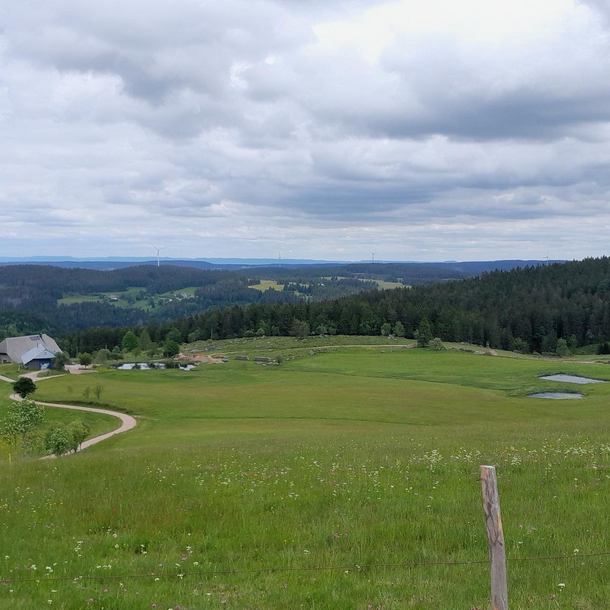
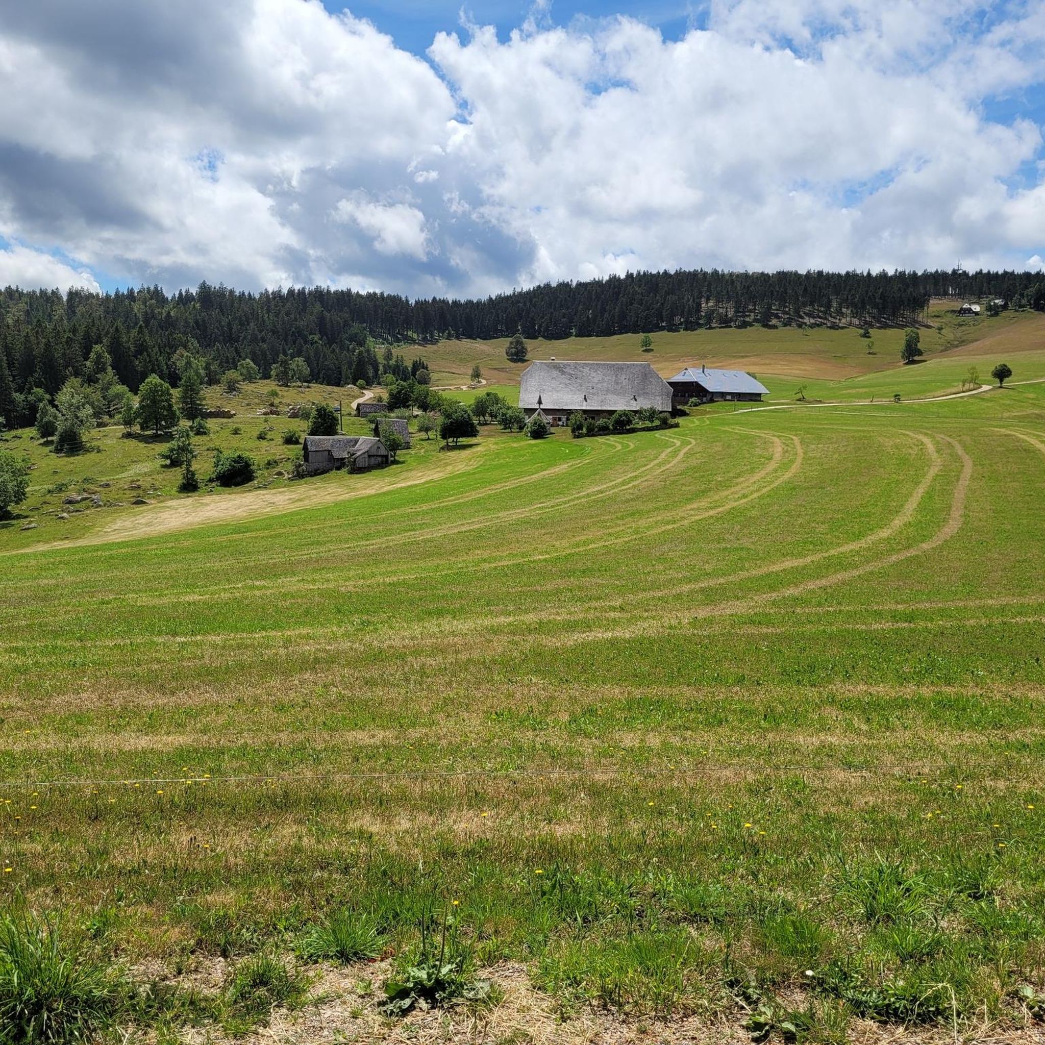
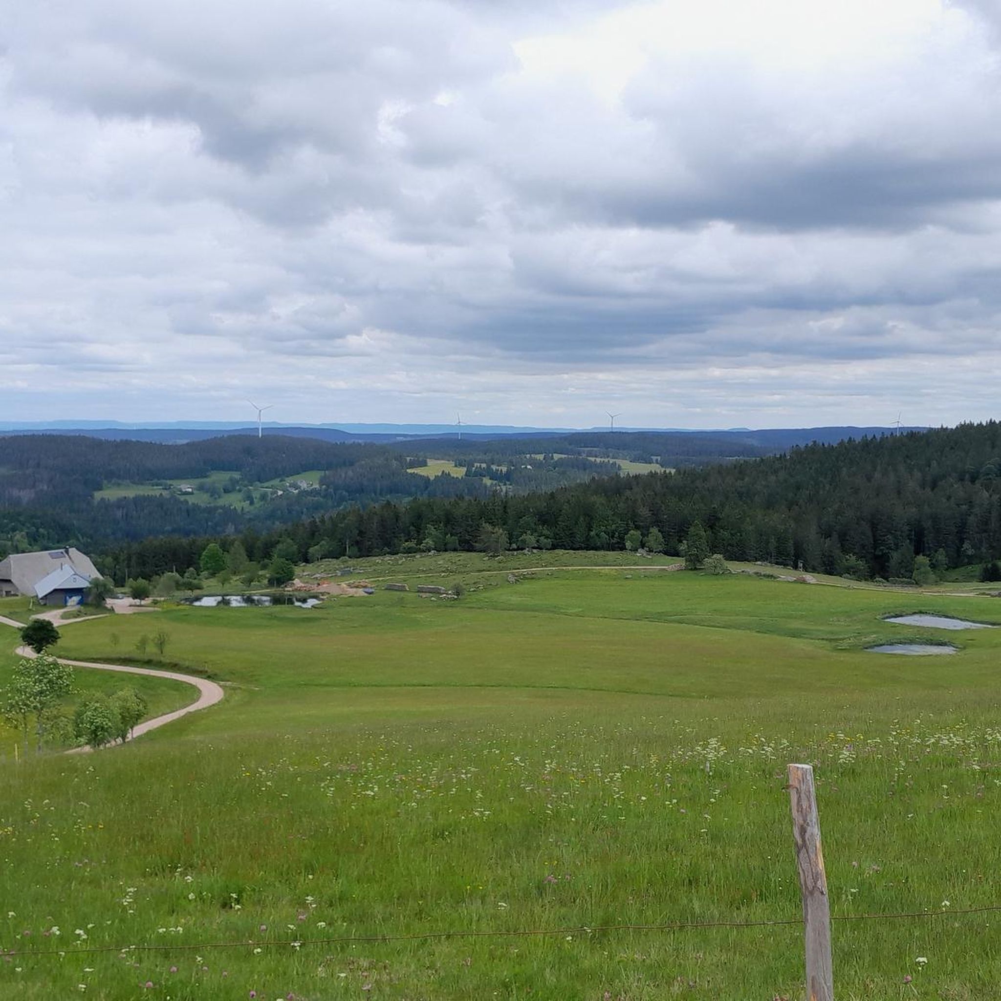
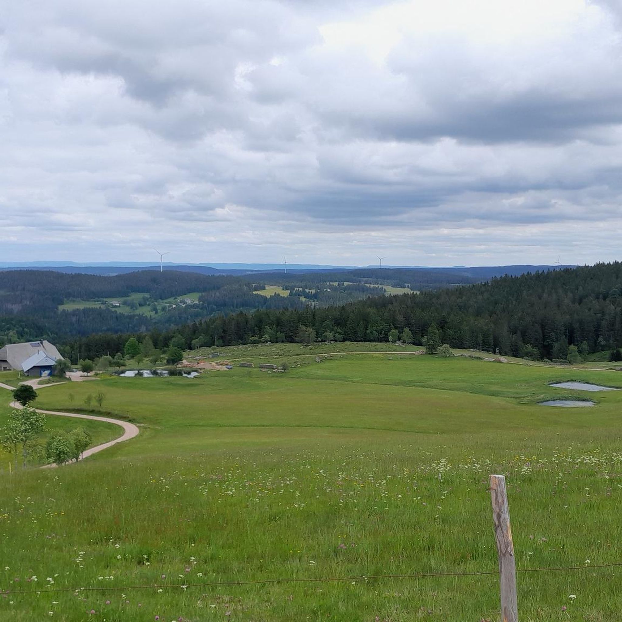
Jogging in Rohrhardsberg - Obere Elz offers diverse terrain within the Central Black Forest, characterized by expansive meadows, dense forests, and unique moors. The region features varying elevations, from 700 to 1155 meters, with Rohrhardsberg itself reaching 1,152.1 meters, providing both challenging climbs and moderate running routes. Scenic elements like the Elz Waterfalls and bubbling streams add to the natural landscape.
Best jogging routes in Rohrhardsberg - Obere Elz
- The most popular jogging route is Schwedenschanze Inn loop from Rohrhardsberg…
Last updated: July 25, 2026
4.2
(5)
64
runners
11.8km
01:17
150m
150m
Moderate run. Good fitness required. Mostly paved surfaces. Suitable for all skill levels.
46
runners
17.7km
01:56
240m
240m
Hard run. Very good fitness required. Mostly paved surfaces. Suitable for all skill levels.

Sign up for free
4.3
(4)
38
runners
Moderate run. Good fitness required. Mostly paved surfaces. Suitable for all skill levels.
5.0
(1)
10
runners
7.56km
00:55
110m
110m
Moderate run. Good fitness required. Mostly paved surfaces. Suitable for all skill levels.
5.0
(1)
10
runners
5.84km
00:38
70m
70m
Moderate run. Good fitness required. Mostly paved surfaces. Suitable for all skill levels.
Get access to more routes and recommendations from other explorers.
Sign up for free
Already have an account?
Our route recommendations are based on thousands of hikes, rides, and runs completed by other people on komoot.
Start today with a free account
Your next adventure awaits.
Login or Signup
Popular around Rohrhardsberg - Obere Elz
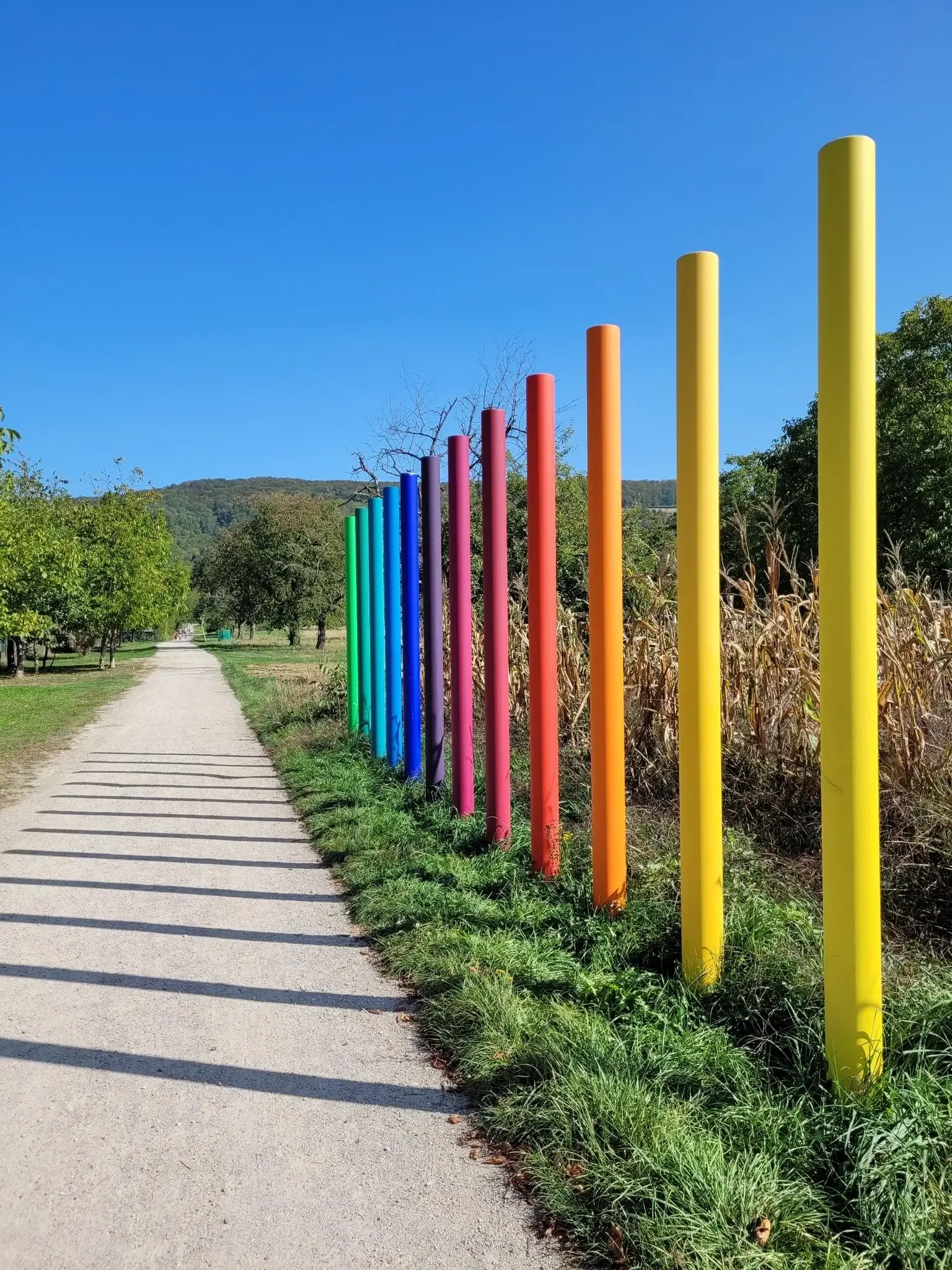
Outdoor Art – art trails in the Black Forest
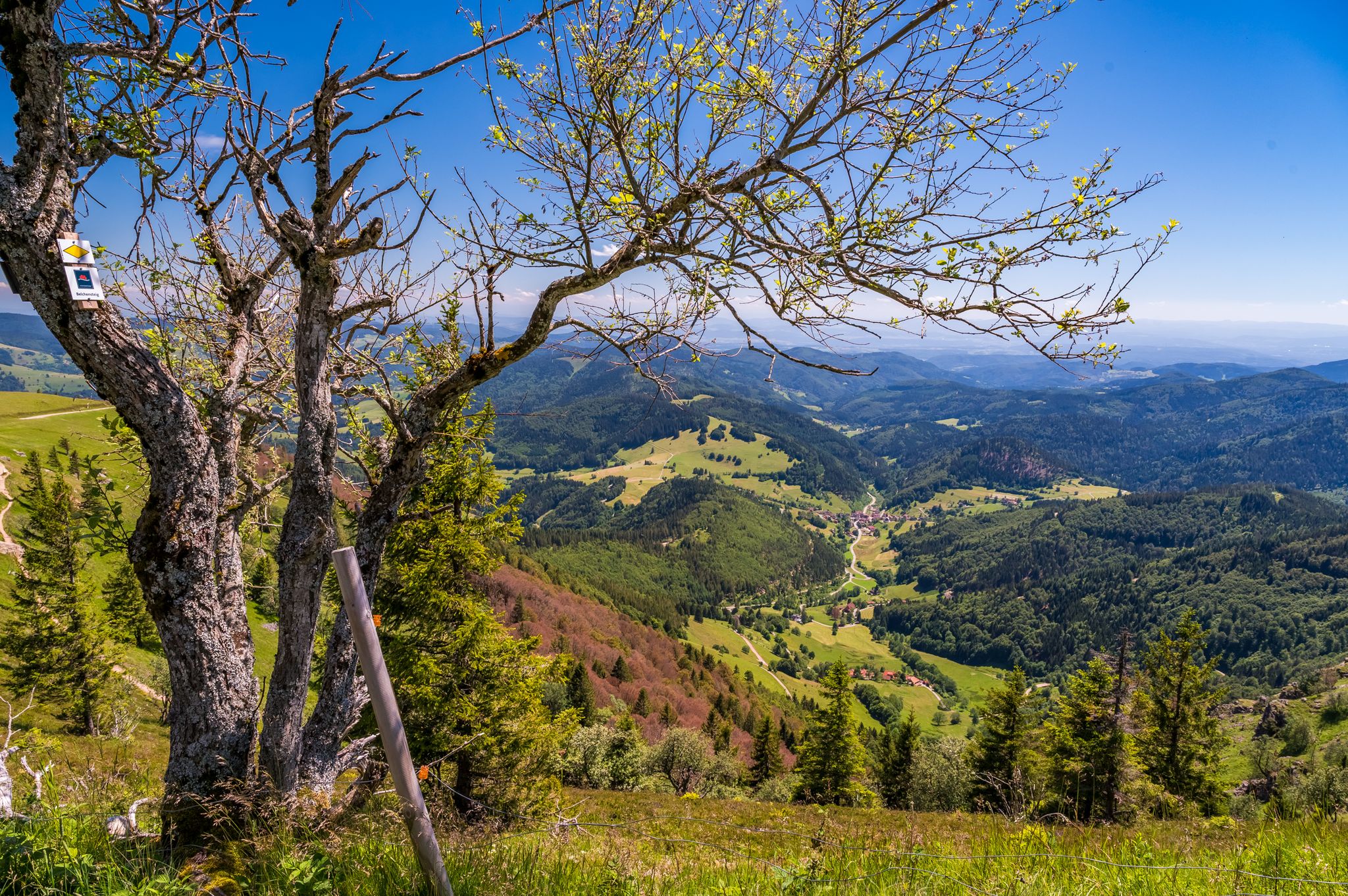
Summer, summits and huts – varied hikes in the Black Forest
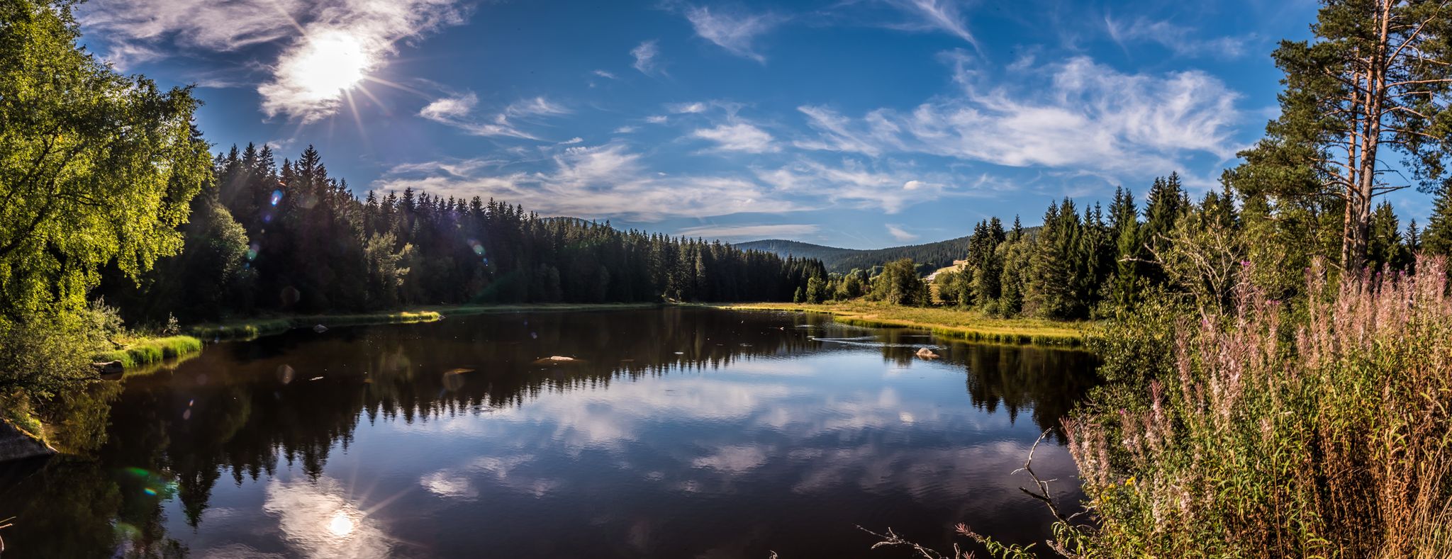
Holidays for the soul — pleasure trails in the Black Forest
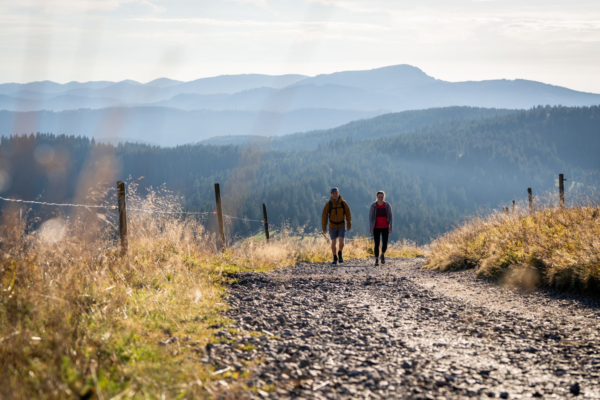
Premium hiking in the Black Forest
Hiking in Rohrhardsberg - Obere Elz
Cycling in Rohrhardsberg - Obere Elz
Road Cycling Routes in Rohrhardsberg - Obere Elz
Gravel biking in Rohrhardsberg - Obere Elz
MTB Trails in Rohrhardsberg - Obere Elz
Mountain Hikes in Rohrhardsberg - Obere Elz


Tips from the Community

the watershed between the Danube and the Rhine
0
0

The Martinskapelle is located on an old pass road between the Breg and Elz springs, at the height of the Danube-Rhine watershed. The origin of the chapel dates back to pre-Carolingian times. Excavation findings suggest that a sacred building already stood here around 800. Perhaps the road from Furtwangen to the pass summit was already an old La Tène road and there were connections between Celtic and early Christian culture here.
0
0
The European watershed at the Martinskapelle near Furtwangen in the Black Forest separates the catchment area of the North Sea (via the Rhine) from that of the Black Sea (via the Danube) at an altitude of around 1,085 meters. Course of the watershed Rhine catchment area (northwest side): Here the Elz originates, which flows via the Rhine ultimately into the North Sea. Danube catchment area (southeast side): Only about 100 meters from the watershed lies the source of the Breg. The Breg is considered the longest headstream of the Danube, whose water flows into the Black Sea. The separation: A ridge only a few meters wide decides here whether a water droplet begins its journey west to the Rhine or east to the Danube.
0
0
The European watershed at Martinskapelle near Furtwangen in the Black Forest separates the catchment area of the North Sea (via the Rhine) from that of the Black Sea (via the Danube) at an altitude of around 1,085 meters. Course of the watershed Rhine catchment area (northwestern side): The Elz rises here, which ultimately flows into the North Sea via the Rhine. Danube catchment area (southeastern side): Only about 100 meters from the watershed lies the Breg spring. The Breg is considered the longest source river of the Danube, whose waters flow into the Black Sea. The separation: A ridge only a few meters wide decides here whether a water droplet begins its journey west to the Rhine or east to the Danube.
0
0
another highlight of the day
0
0

Nice and friendly
1
0

Great rest area in front of the boardwalk
0
0

information board at the Blindensee, various hiking trails accessible.
1
0
Frequently Asked Questions
How many running routes are available in Rohrhardsberg - Obere Elz?
The Rohrhardsberg - Obere Elz region offers a wide network of over 200 running routes. These include a variety of options, with 12 easy, 145 moderate, and 59 difficult trails to choose from, catering to all fitness levels.
What kind of terrain can I expect on the running trails in Rohrhardsberg - Obere Elz?
Runners in Rohrhardsberg - Obere Elz will experience a diverse landscape. The trails feature a mix of expansive meadows, dense forests, traditional pastures, and unique moors. Elevations range from 700 to 1155 meters, offering both challenging climbs and more moderate paths.
Are there running routes suitable for beginners or those looking for an easy jog?
Yes, the region provides 12 easy running routes, perfect for beginners or those seeking a relaxed jog. These paths allow you to enjoy the natural beauty without significant elevation changes.
What is the best time of year to go jogging in Rohrhardsberg - Obere Elz?
The diverse terrain and well-maintained trails make Rohrhardsberg - Obere Elz suitable for jogging throughout much of the year. Spring and autumn offer pleasant temperatures and vibrant scenery, while summer provides shaded forest paths. Winter running is also possible, though some trails may require appropriate gear due to snow or ice.
Can I see waterfalls while running in Rohrhardsberg - Obere Elz?
Absolutely! The region is home to scenic elements like the Elz Waterfalls, which add a picturesque quality to some trails. You can find routes that pass by these beautiful natural features.
Are there any scenic viewpoints along the jogging trails in Rohrhardsberg - Obere Elz?
Yes, the varying elevations in Rohrhardsberg - Obere Elz provide stunning views. You can find viewpoints such as the View of Elzach from Rohrhardsberg and the View of Apsenwasser and Black Forest Hills, offering panoramic vistas of the Feldberg, the Elz Valley, and the northern Black Forest.
What natural features make Rohrhardsberg - Obere Elz unique for runners?
Rohrhardsberg - Obere Elz is a nature and landscape protection area, preserving unique ecosystems. Runners can experience mountain spruce forests, which are considered a 'subalpine outpost' in the Middle Black Forest, as well as the source of the Elz river and various bubbling streams. This commitment to nature ensures a peaceful and clean atmosphere.
Is parking available near the running routes in Rohrhardsberg - Obere Elz?
While specific parking locations vary by trailhead, the region is generally well-equipped with parking facilities for outdoor enthusiasts. Many popular starting points for trails, such as those near the Schwedenschanze Inn, offer convenient parking options.
How can I reach the jogging routes in Rohrhardsberg - Obere Elz using public transport?
The Rohrhardsberg - Obere Elz region has some public transport connections, though access to specific trailheads might require planning. It's advisable to check local bus schedules and connections to towns like Furtwangen or Schönwald im Schwarzwald, which can serve as starting points for routes like the View of Martinskapelle – St. Martin's Chapel, Furtwangen loop.
Are there any family-friendly running routes in the region?
Yes, many of the easy and moderate trails in Rohrhardsberg - Obere Elz are suitable for families. Routes that feature less challenging terrain and offer points of interest like the Pond and Picnic Area Near Elz Waterfalls can be particularly enjoyable for families jogging together.
Are dogs allowed on the running trails in Rohrhardsberg - Obere Elz?
Generally, dogs are welcome on trails in the Rohrhardsberg - Obere Elz region, especially if kept on a leash. As it is a nature reserve, it's important to respect local wildlife and ensure your dog does not disturb the natural environment. Always check for specific signage at trailheads regarding pet regulations.
What do other runners enjoy the most about jogging in Rohrhardsberg - Obere Elz?
The area is highly rated by the komoot community, with an average score of 4.4 stars from over 190 reviews. Runners often praise the diverse terrain, the peaceful environment, and the well-developed network of trails that cater to various ability levels. The scenic beauty, including dense forests and open meadows, is frequently highlighted.
Are there any loop running trails in Rohrhardsberg - Obere Elz?
Yes, many of the running routes in the region are designed as loops, offering a convenient way to explore without retracing your steps. Examples include the popular Schwedenschanze Inn loop from Rohrhardsberg - Obere Elz and the more challenging Günterfelsen – Brend Tower loop.
Can I find places to eat or drink near the jogging routes?
Yes, there are options for refreshments. For instance, the Schwedenschanze Inn is a notable spot that can be found along or near several running routes, offering a place to rest and refuel after your run.
Most popular routes in Rohrhardsberg - Obere Elz
Most popular attractions in Rohrhardsberg - Obere Elz

Get inspired with the komoot mobile app


Explore more
Browse the best Running Trails & Routes in other regions.
