The best cycling routes in Rohrhardsberg - Obere Elz
4.6
(1512)
8,900
riders
295
rides
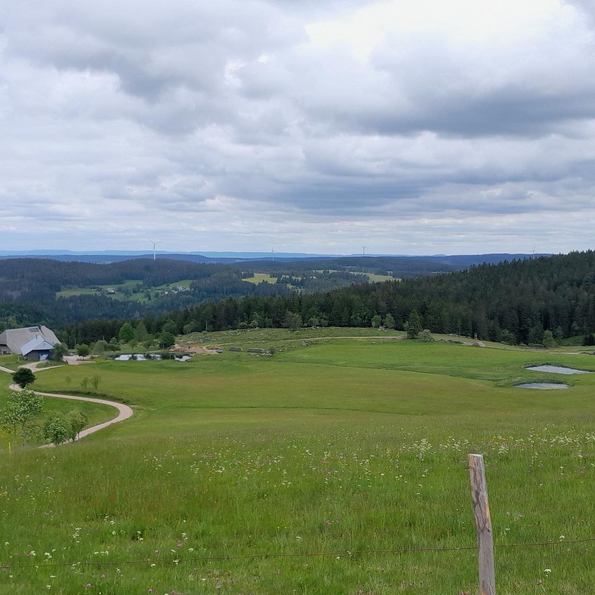
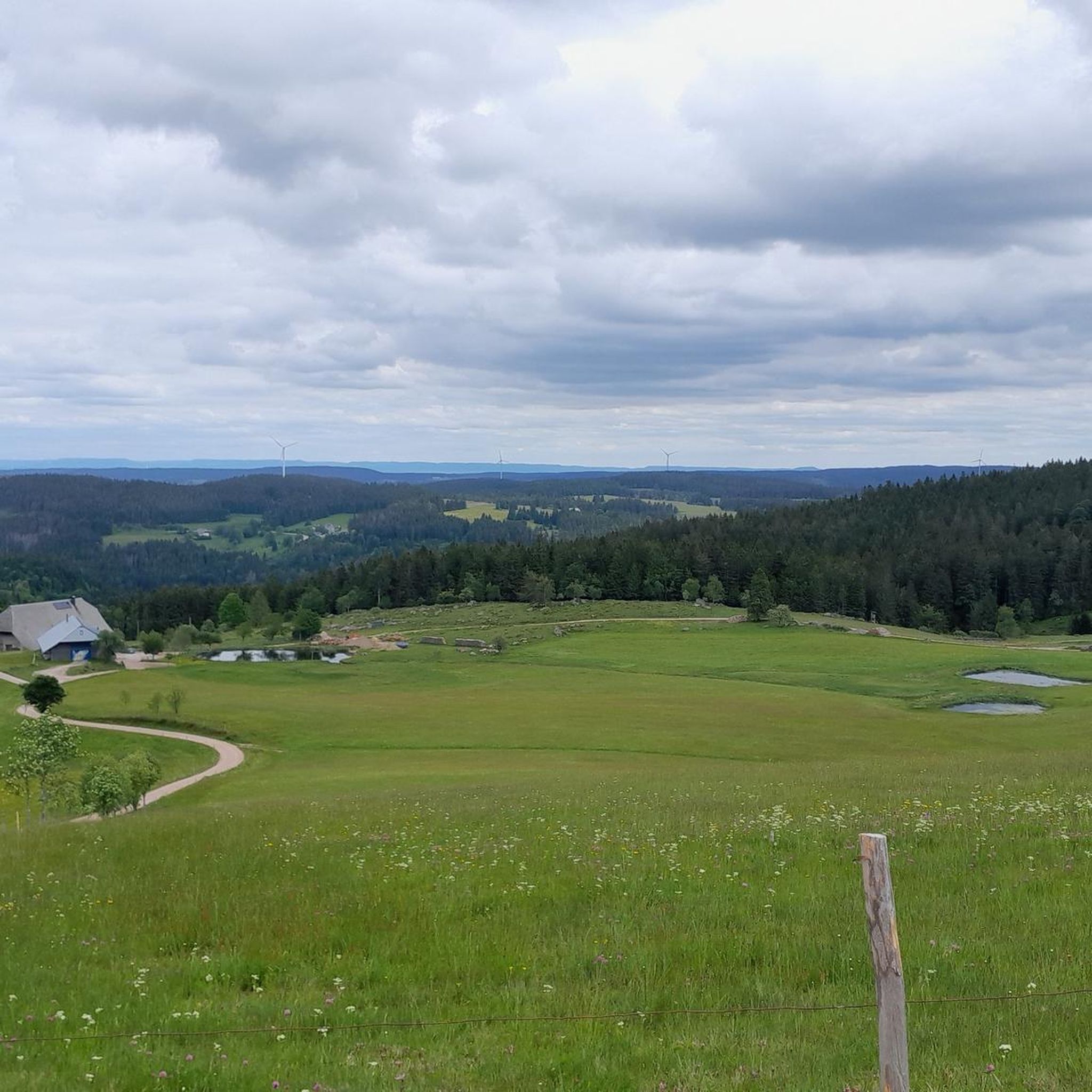
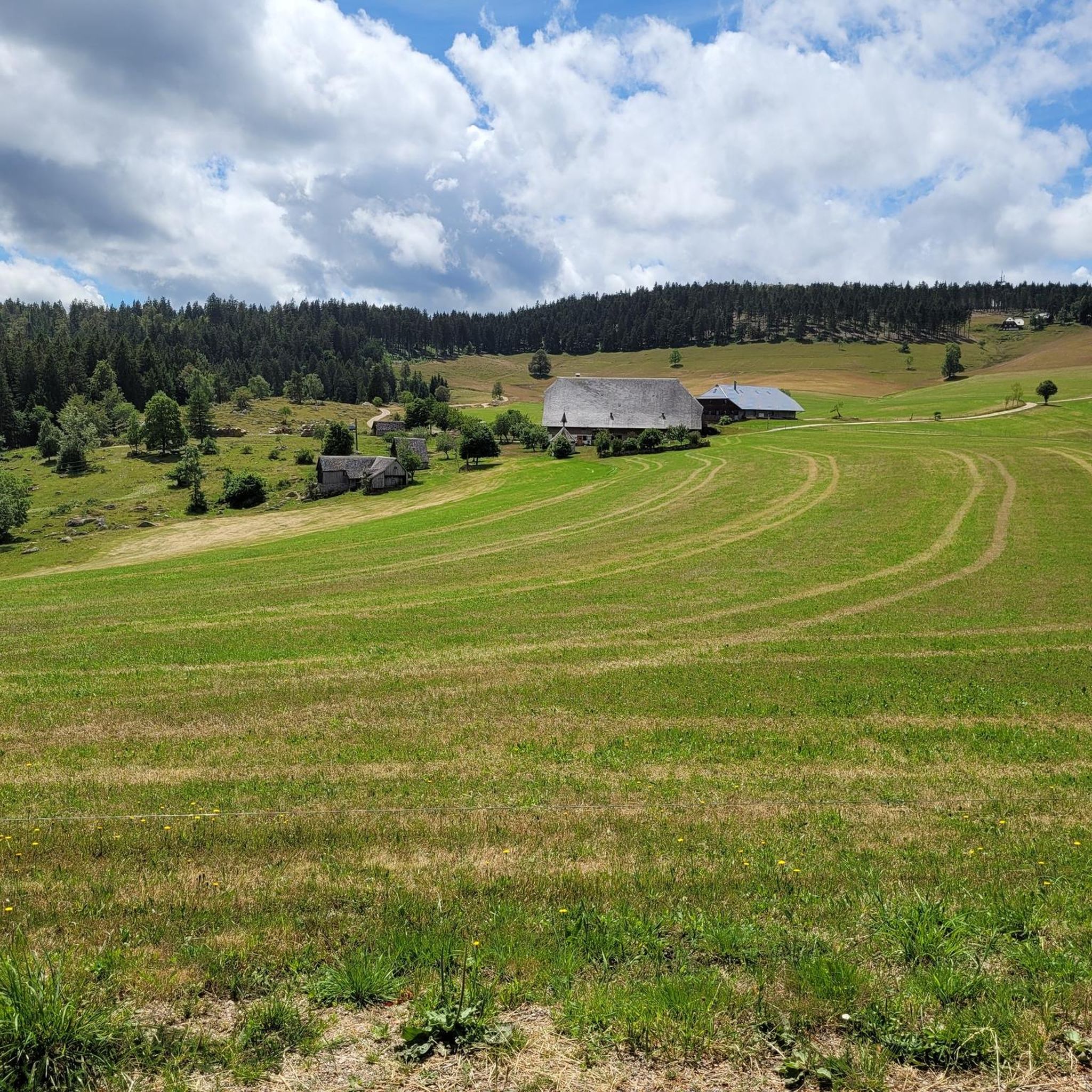
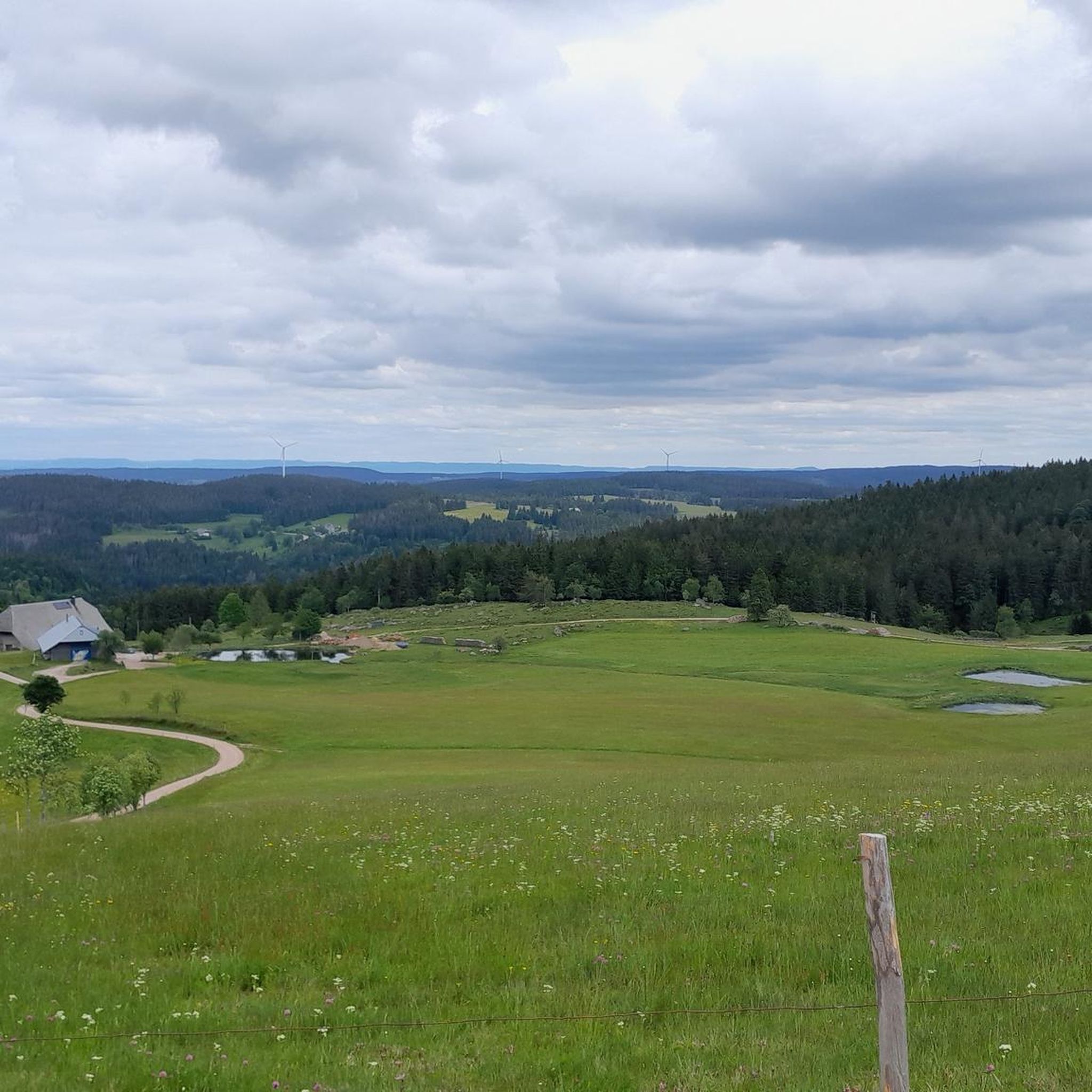
Touring cycling in Rohrhardsberg - Obere Elz offers varied natural landscapes within the Central Black Forest. The region features expansive meadows, dense forests, and unique moors, providing diverse backdrops for cyclists. Rohrhardsberg itself is a significant elevation, offering panoramic views of the Feldberg, Elz Valley, and even the Vosges mountains. The area is also home to the scenic Elz Waterfalls and is part of a nature reserve protecting unique ecosystems.
Best touring cycling routes in Rohrhardsberg - Obere Elz
- The…
Last updated: September 23, 2026
9
riders
Moderate bike ride. Good fitness required. Mostly paved surfaces. Suitable for all skill levels.
4.2
(6)
37
riders
Hard bike ride. Very good fitness required. You may need to push your bike for some segments of this route.

5.0
(4)
12
riders
Moderate bike ride. Good fitness required. Mostly paved surfaces. Suitable for all skill levels.
4.8
(16)
58
riders
Moderate bike ride. Good fitness required. Mostly paved surfaces. Suitable for all skill levels.
4.6
(9)
49
riders
Hard bike ride. Very good fitness required. Mostly paved surfaces. Suitable for all skill levels.
Get access to more routes and recommendations from other explorers.
Already have an account?
Our route recommendations are based on thousands of hikes, rides, and runs completed by other people on komoot.
Start today with a free account
Your next adventure awaits.
Popular around Rohrhardsberg - Obere Elz
Outdoor Art – art trails in the Black Forest
Summer, summits and huts – varied hikes in the Black Forest
Holidays for the soul — pleasure trails in the Black Forest
Premium hiking in the Black Forest
Hiking in Rohrhardsberg - Obere Elz
Road Cycling Routes in Rohrhardsberg - Obere Elz
Running Trails in Rohrhardsberg - Obere Elz
Gravel biking in Rohrhardsberg - Obere Elz
MTB Trails in Rohrhardsberg - Obere Elz
Mountain Hikes in Rohrhardsberg - Obere Elz


Tips from the Community

Self-service drinks, benches with a view
0
0

Very beautiful nature reserve, where it is still quiet in the early morning.
0
0

The European watershed at the Martinskapelle near Furtwangen in the Black Forest separates the catchment area of the North Sea (via the Rhine) from that of the Black Sea (via the Danube) at an altitude of around 1,085 meters. Course of the watershed Rhine catchment area (northwest side): Here the Elz originates, which flows via the Rhine ultimately into the North Sea. Danube catchment area (southeast side): Only about 100 meters from the watershed lies the source of the Breg. The Breg is considered the longest headstream of the Danube, whose water flows into the Black Sea. The separation: A ridge only a few meters wide decides here whether a water droplet begins its journey west to the Rhine or east to the Danube.
0
0

another highlight of the day
0
0
unfortunately no time for a stop
0
0
Furtwangen's local mountain, the Brend, with a height of 1149 m above sea level, is the highest elevation in the city and, at the same time, the second-highest mountain in the Schwarzwald-Baar district. From its observation tower, built in 1905 and extended to 15 meters in 1983, one can enjoy, with good visibility, not only the view of the Rhine plain, the Black Forest and Vosges peaks, but also the Swabian Jura and the Swiss Alps.
0
0


Even without snow (cross-country skiing starts here most days), it's a lovely place to linger.
0
0
Frequently Asked Questions
How many touring cycling routes are available in Rohrhardsberg - Obere Elz?
Rohrhardsberg - Obere Elz offers a wide selection of touring cycling routes, with over 280 options to explore. These routes cater to various skill levels, from easy rides to more challenging ascents.
What is the overall difficulty level of touring cycling routes in Rohrhardsberg - Obere Elz?
The routes in Rohrhardsberg - Obere Elz offer a good mix of difficulties. You'll find approximately 20 easy routes, nearly 100 moderate routes, and over 150 routes considered difficult, ensuring options for all experience levels.
What do other touring cyclists say about the routes in Rohrhardsberg - Obere Elz?
The touring cycling routes in Rohrhardsberg - Obere Elz are highly regarded by the komoot community, boasting an average rating of 4.6 stars from over 870 reviews. More than 6,000 touring cyclists have used komoot to explore the region's varied terrain, often praising the diverse landscapes and well-maintained paths.
When is the best time of year to go touring cycling in Rohrhardsberg - Obere Elz?
The Central Black Forest, including Rohrhardsberg - Obere Elz, is generally best for touring cycling from late spring through early autumn. During these months, the weather is typically mild, and the trails are in good condition, allowing you to fully enjoy the expansive meadows and dense forests.
Are there touring cycling routes with significant elevation gains for a challenge?
Yes, the region offers routes with notable elevation gains. For example, the Brend Tower – Linach Dam loop from Bregquelle is a challenging 23.7-mile route with over 700 meters of ascent, taking you through varied terrain and offering a rewarding workout.
Are there any family-friendly touring cycling routes in the region?
Absolutely. The area features well-maintained field and forest paths suitable for families or less experienced riders. The Günterfelsen – Brend Tower loop from Bregquelle is an easy 3.4-mile path that offers a gentle ride through the local landscape, perfect for a family outing.
Can I find circular touring cycling routes in Rohrhardsberg - Obere Elz?
Yes, many touring cycling routes in the region are designed as loops, allowing you to start and end at the same point. The Martinskapelle Ski Hut loop from Rohrhardsberg - Obere Elz is a 4.0-mile circular trail leading through forested areas, offering a convenient and scenic ride.
What kind of landscapes can I expect to see while touring cycling here?
Rohrhardsberg - Obere Elz is characterized by a diverse natural landscape, including expansive meadows, dense forests, traditional pastures, and unique moors. You'll cycle through varied backdrops, from high altitudes offering panoramic views of the Feldberg and Elz Valley to charming paths along the Elz river.
What natural features or landmarks can I explore along the touring cycling routes?
The region is rich in natural beauty and interesting landmarks. You can visit the scenic Elz Waterfalls, explore the Elz Spring, or enjoy the tranquility of the Pond and Picnic Area Near Elz Waterfalls. Higher points like Rohrhardsberg offer magnificent views, such as the View of Elzach from Rohrhardsberg.
Are there places to stop for food or refreshments along the touring cycling routes?
Yes, you can find welcoming stops. The Schwedenschanze Inn near the summit of Rohrhardsberg offers a wonderful view and good food in a rustic atmosphere, making it an excellent place to refuel during your ride.
Are there routes that offer panoramic views?
Yes, many routes in the higher altitudes of the nature reserve provide stunning panoramic views. Rohrhardsberg itself, being one of the highest elevations, offers magnificent vistas of the Feldberg, the Elz Valley, and even extends to the Vosges mountains. The Brend Tower – View from the summit of Brend loop from Rohrhardsberg - Obere Elz is a moderate route designed to showcase these expansive views.
Is it possible to combine touring cycling with public transport in the region?
The broader Black Forest region emphasizes comfort for cyclists, with options to travel by train or cycle bus for parts of longer journeys, including taking bikes with you. While specific connections for Rohrhardsberg - Obere Elz should be checked locally, the general infrastructure supports combining cycling with public transport.
What is the significance of Rohrhardsberg - Obere Elz as a nature reserve?
Designated as a nature reserve since 1997 and part of the Natura 2000 network, Rohrhardsberg - Obere Elz is crucial for protecting unique ecosystems like mountain spruce forests. It provides a vital habitat for endangered animal and plant species, including the rare capercaillie, ensuring the preservation of its natural beauty for all to enjoy. More information can be found on visit-bw.com.
Most popular routes in Rohrhardsberg - Obere Elz
Most popular attractions in Rohrhardsberg - Obere Elz

Get inspired with the komoot mobile app


Explore more
Browse the best Cycling routes in other regions.
