Quellgebiet Des Köllerbaches Zwischen Großwald Und Kirschhofer Tal
Quellgebiet Des Köllerbaches Zwischen Großwald Und Kirschhofer Tal
The best MTB trails in Quellgebiet Des Köllerbaches Zwischen Großwald Und Kirschhofer Tal
4.5
(2660)
7,625
riders
459
rides
Mountain biking in Quellgebiet Des Köllerbaches Zwischen Großwald Und Kirschhofer Tal offers diverse terrain for riders. The region is characterized by extensive woodlands, rolling hills, and valleys formed by the Köllerbach stream and its springs. These natural features provide a mix of forest paths and more open sections, suitable for various mountain bike trail lengths. The area is recognized as a protected landscape, featuring open fields and lush, water-influenced environments.
Best mountain bike trails in Quellgebiet Des Köllerbaches Zwischen Großwald…
Last updated: August 1, 2026
5.0
(9)
52
riders
Moderate mountain bike ride. Good fitness required. Suitable for all skill levels.
4.5
(4)
13
riders
Moderate mountain bike ride. Good fitness required. Suitable for all skill levels.

Sign up for free
3.0
(1)
8
riders
56.7km
04:48
1,230m
1,230m
Hard mountain bike ride. Very good fitness required. Advanced riding skills necessary. Some portions of the route may require you to push your bike.
5.0
(1)
4
riders
25.0km
02:08
570m
560m
Moderate mountain bike ride. Good fitness required. Suitable for all skill levels.
4.0
(5)
5
riders
57.3km
05:04
1,130m
1,130m
Hard mountain bike ride. Very good fitness required. Advanced riding skills necessary.
Get access to more routes and recommendations from other explorers.
Sign up for free
Already have an account?
Our route recommendations are based on thousands of hikes, rides, and runs completed by other people on komoot.
Start today with a free account
Your next adventure awaits.
Login or Signup
Popular around Quellgebiet Des Köllerbaches Zwischen Großwald Und Kirschhofer Tal
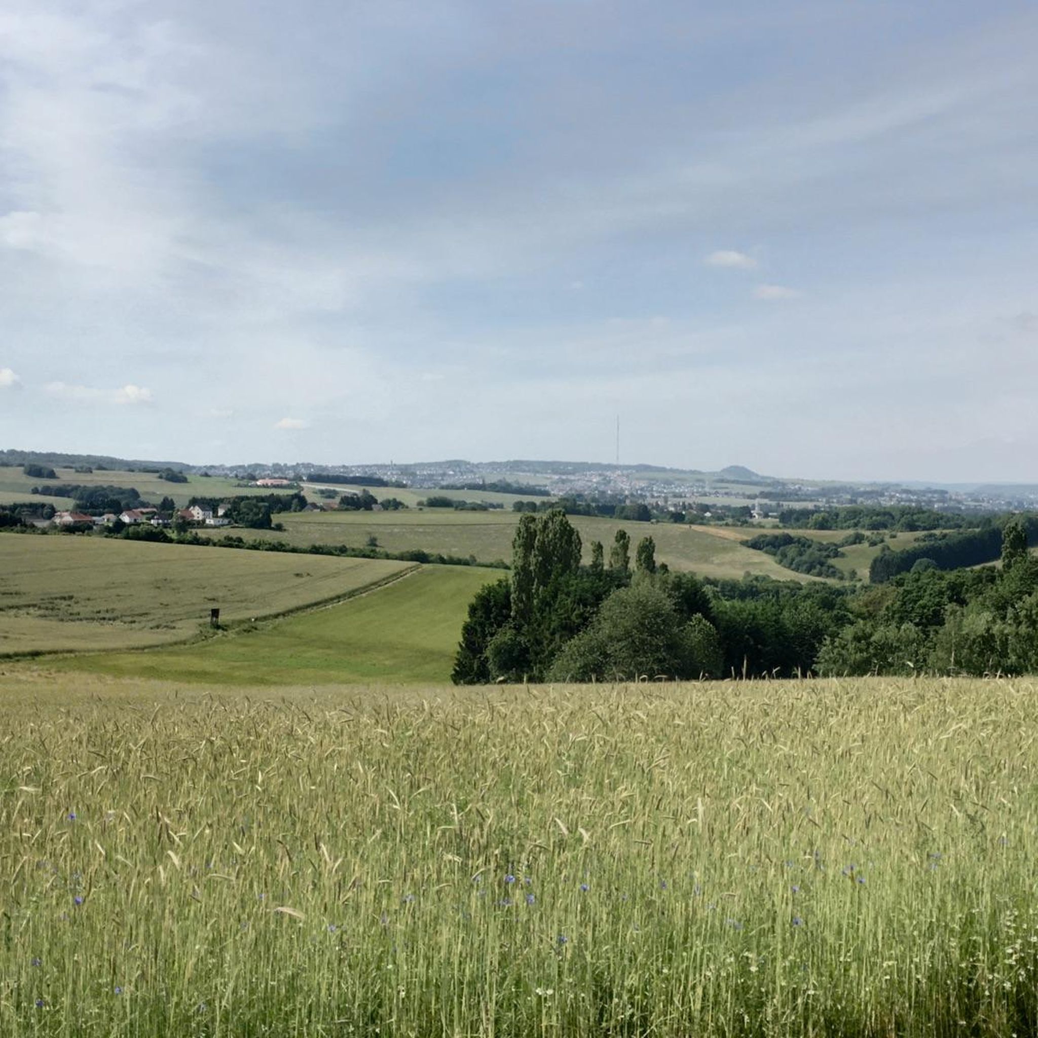
Cycling in Quellgebiet Des Köllerbaches Zwischen Großwald Und Kirschhofer Tal
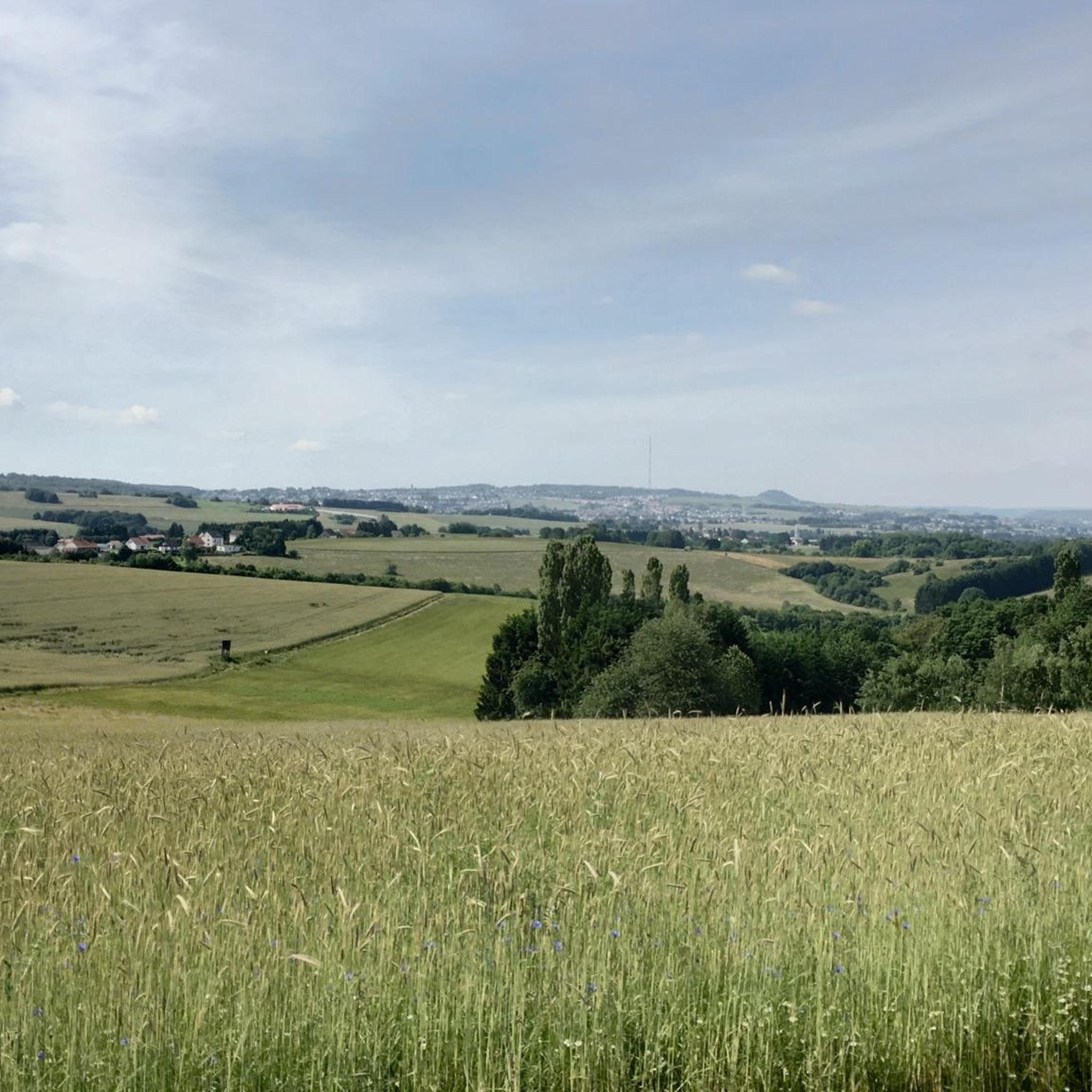
Hiking in Quellgebiet Des Köllerbaches Zwischen Großwald Und Kirschhofer Tal
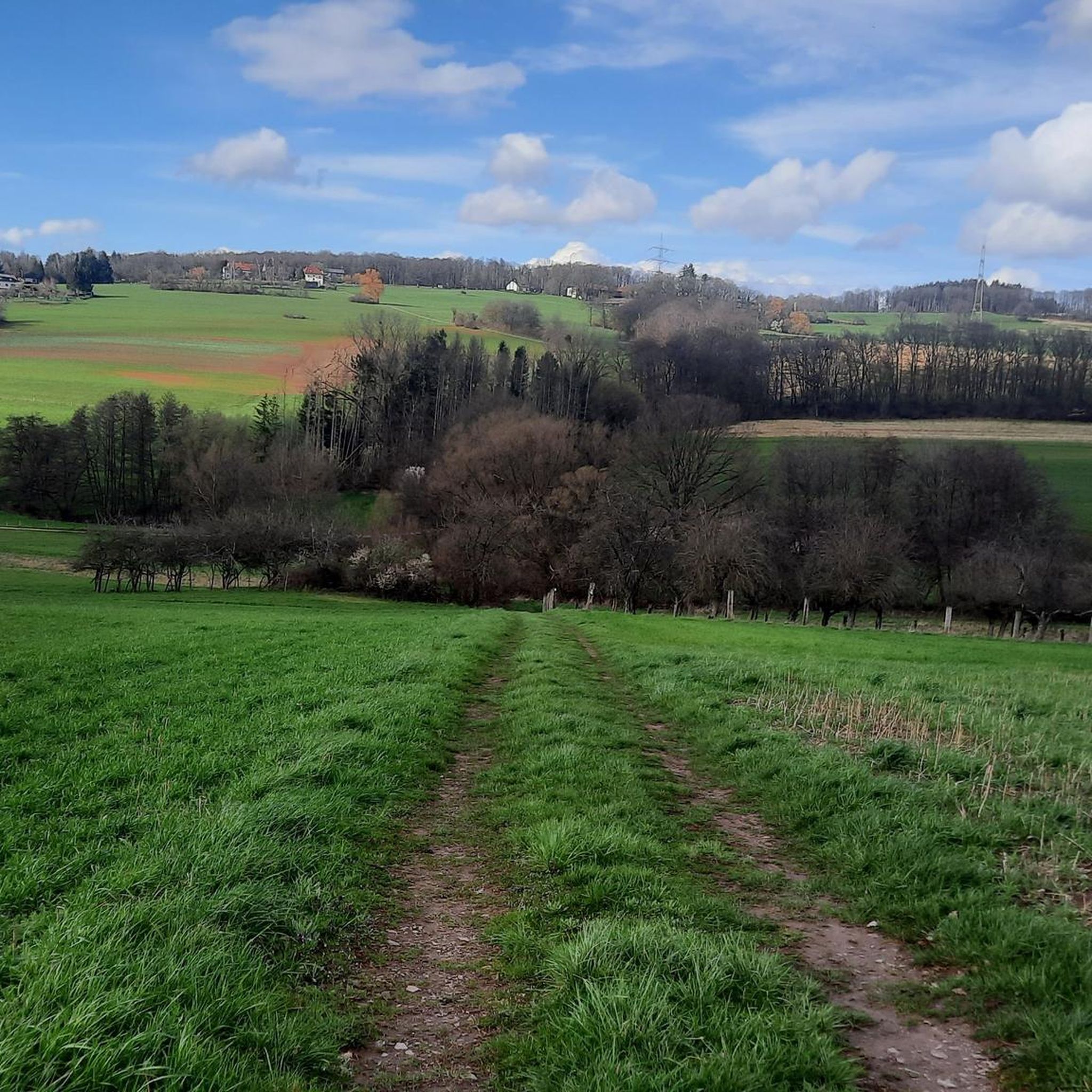
Running Trails in Quellgebiet Des Köllerbaches Zwischen Großwald Und Kirschhofer Tal
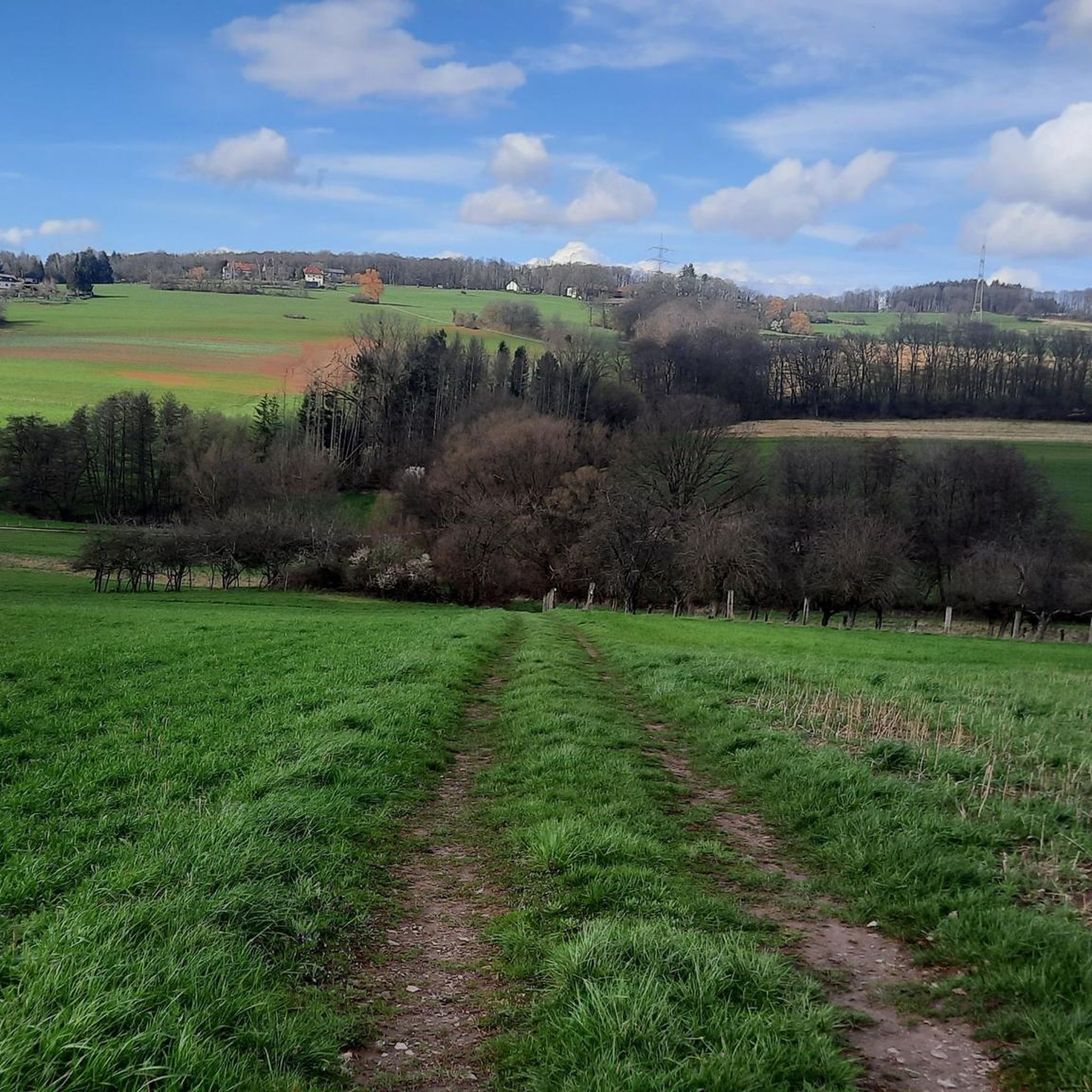
Road Cycling Routes in Quellgebiet Des Köllerbaches Zwischen Großwald Und Kirschhofer Tal

Gravel biking in Quellgebiet Des Köllerbaches Zwischen Großwald Und Kirschhofer Tal
Tips from the Community

The fishing hut on the grounds of the Bous Angling Club is an ideal starting point for the Bous Trail: Here you'll find a large overview sign showing the route (both the short and long trails), and you're immediately out in nature by the water. It's a peaceful place to arrive – and later a lovely destination when the loop ends back at the Bommersbach stream/pond. If you'd like to stop for refreshments: According to the club, the fishing hut is currently only open on a limited basis; it's best to check the current opening hours with the ASV (Angling Club). https://www.asv-bous.de/fischerhuette/
0
0

Beautiful path along the Köllerbach
0
0
"You must go under this bridge"
1
0
Beautiful paths for hiking or walking
0
0
Our little walking tour, always beautiful
1
0

Clearly visible from the Saar Cycle Route
1
0

When it's not flooding :-) quiet and relaxing surroundings that invite you to take a short break.
1
0
Frequently Asked Questions
How many mountain bike trails are available in Quellgebiet Des Köllerbaches Zwischen Großwald Und Kirschhofer Tal?
There are over 470 mountain bike trails in Quellgebiet Des Köllerbaches Zwischen Großwald Und Kirschhofer Tal, offering a wide range of options for different skill levels.
Are there easy mountain bike trails suitable for beginners?
Yes, the region offers over 100 easy mountain bike trails. A good option for beginners is the Roman Spring Mangelhausen – Wiesbach Spring loop from Eiweiler, which is 11.9 miles (19.1 km) long and leads through areas with historical springs.
What are some challenging mountain bike routes for experienced riders?
For experienced riders seeking a challenge, the region features 40 difficult routes. A notable one is the Langheck (502.4 m) – Langheck Trail loop from Eiweiler Nord, a demanding 31.7 miles (51.0 km) path with significant elevation gain and expansive views.
Can I find circular mountain bike routes in Quellgebiet Des Köllerbaches Zwischen Großwald Und Kirschhofer Tal?
Yes, many of the mountain bike trails in the area are circular. For example, the Forest MTB Trail in Saarland – Krickelsberg Observation Tower loop from Eiweiler Nord is a popular 27.8 miles (44.8 km) circular route.
What are the typical lengths of mountain bike trails in this region?
Trail lengths vary significantly, from shorter, easy routes around 10-20 km (e.g., the Roman Spring Mangelhausen – Wiesbach Spring loop at 19.1 km) to longer, more challenging tours exceeding 50 km, such as the Langheck (502.4 m) – Langheck Trail loop at 51.0 km.
Where can I find parking for mountain bike trails in the area?
Many routes, including popular ones like the Forest MTB Trail in Saarland and the Langheck Trail loop, start from Eiweiler Nord or Eiweiler, which typically offer designated parking areas for trail users. It's advisable to check specific route details for precise parking information.
What kind of scenery can I expect on the mountain bike trails?
The trails wind through a diverse landscape characterized by extensive woodlands, rolling hills, and the picturesque valleys formed by the Köllerbach and its springs. You'll encounter a mix of forest paths and more open sections, offering varied natural beauty.
Are there places to eat or drink near the mountain bike trails?
Yes, you can find options for refreshments. For example, the Eiweiler Inn is a restaurant located near several trailheads, and the Grosswald Brewery and Brewery Shop offers a local experience.
What attractions or landmarks can I see while mountain biking?
Along the trails, you can discover several points of interest. The Forest MTB Trail features the Krickelsberg Observation Tower. Other notable landmarks include the historic Vogelsborn Chapel and the Hunter’s Cross.
What do other mountain bikers say about the trails in Quellgebiet Des Köllerbaches Zwischen Großwald Und Kirschhofer Tal?
The area is highly rated by the komoot community, with an average score of 4.5 stars from over 2,100 reviews. Mountain bikers often praise the varied terrain, the well-maintained paths, and the scenic beauty of the woodlands and spring areas.
Are there any moderate mountain bike routes available?
Absolutely, the majority of trails in the region, over 330, are classified as moderate. A great example is the Chainsaw 20 Trail – The Kaltensteine loop from Eiweiler, a 24.9 km route that offers a balanced challenge.
Can I find trails that lead to specific viewpoints or scenic spots?
Yes, many routes are designed to showcase the region's beauty. The Langheck (502.4 m) – Langheck Trail loop provides expansive views from the Langheck hill, and the Hotzemonnweg Section – Saarpolygon on Halde Duhamel loop offers views towards the Saarpolygon.
Most popular routes in Quellgebiet Des Köllerbaches Zwischen Großwald Und Kirschhofer Tal
Most popular attractions in Quellgebiet Des Köllerbaches Zwischen Großwald Und Kirschhofer Tal

Get inspired with the komoot mobile app


Explore more
Browse the best MTB trails in other regions.
