The best walks and hikes in Nsg Rheinbacher Wald
4.5
(17810)
72,145
hikers
110
hikes
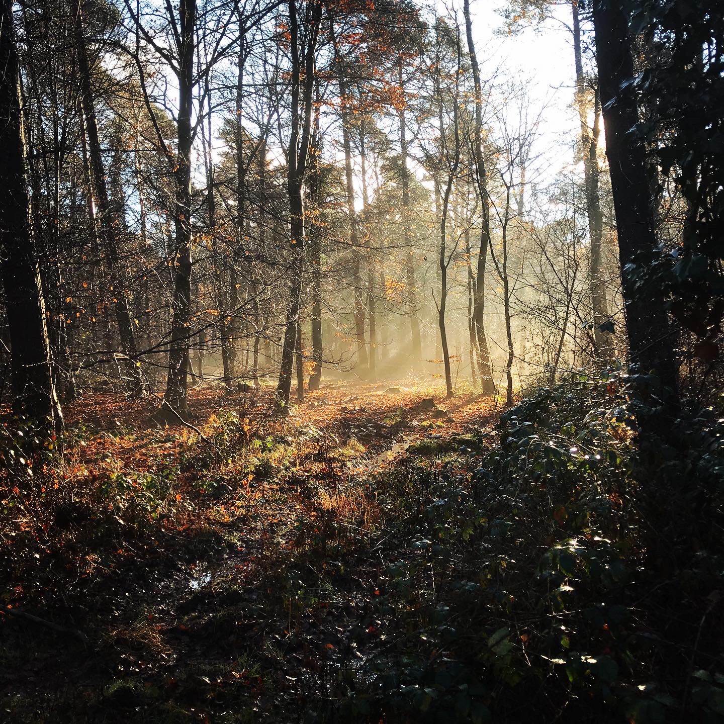
Hiking in Nsg Rheinbacher Wald offers a varied topography shaped by its volcanic origins, featuring hilly landscapes and extensive beech-oak mixed forests. The region is characterized by natural stream courses, such as the Eulenbach, and a series of "Old Ponds" formed by damming. This nature reserve provides a well-maintained network of trails through diverse natural features.
Best hiking trails in Nsg Rheinbacher Wald
- The most popular hiking route is Nature Park Rhineland - Tomburg Route, a 6.4 miles (10.4…
Last updated: October 1, 2026
4.5
(135)
492
hikers
10.4km
03:25
170m
170m
Moderate hike. Good fitness required. Mostly accessible paths. Sure-footedness required.
4.6
(135)
461
hikers
Moderate hike. Good fitness required. Easily-accessible paths. Suitable for all skill levels.

4.6
(100)
309
hikers
Easy hike. Great for any fitness level. Easily-accessible paths. Suitable for all skill levels.
4.7
(36)
162
hikers
Hard hike. Very good fitness required. Easily-accessible paths. Suitable for all skill levels.
4.8
(49)
158
hikers
5.30km
01:26
70m
70m
Easy hike. Great for any fitness level. Easily-accessible paths. Suitable for all skill levels.
Get access to more routes and recommendations from other explorers.
Already have an account?
Our route recommendations are based on thousands of hikes, rides, and runs completed by other people on komoot.
Start today with a free account
Your next adventure awaits.
Popular around Nsg Rheinbacher Wald
Other adventures in Nsg Rheinbacher Wald

Tips from the Community

A thought from the well-known French writer Victor-Marie Vicomte HUGO (1802 to 1885, whose probably best-known novel “The Hunchback of Notre Dame” will be familiar to many, at least in the film version) I would like to pass on here, he expressed himself on hiking as follows: “In my opinion, nothing is as charming as this way of traveling: namely on foot! You belong entirely to yourself, you are free, you are happy… completely connected to the tree under which you seek shelter, completely connected to the church in which you gather. You say goodbye, you stop, you return. Nothing hinders us, nothing holds us back, you wander and dream along.“
5
0

Yes, quite muddy and strenuous.
0
0

Beautiful rooty path, might be a bit muddy.
1
0
Yes, it's useful—or, if you prefer that word, practical—to know a hiking parking lot as a starting point for your tour, or to find it here in the komoot system when planning. However, I personally imagine something more beautiful as a true "highlight" that would actually deserve the name, especially since the forest chapel located here, which is worth seeing, is listed as a standalone highlight in the komoot system. See =>> https://www.komoot.com/de-de/highlight/180096
7
0

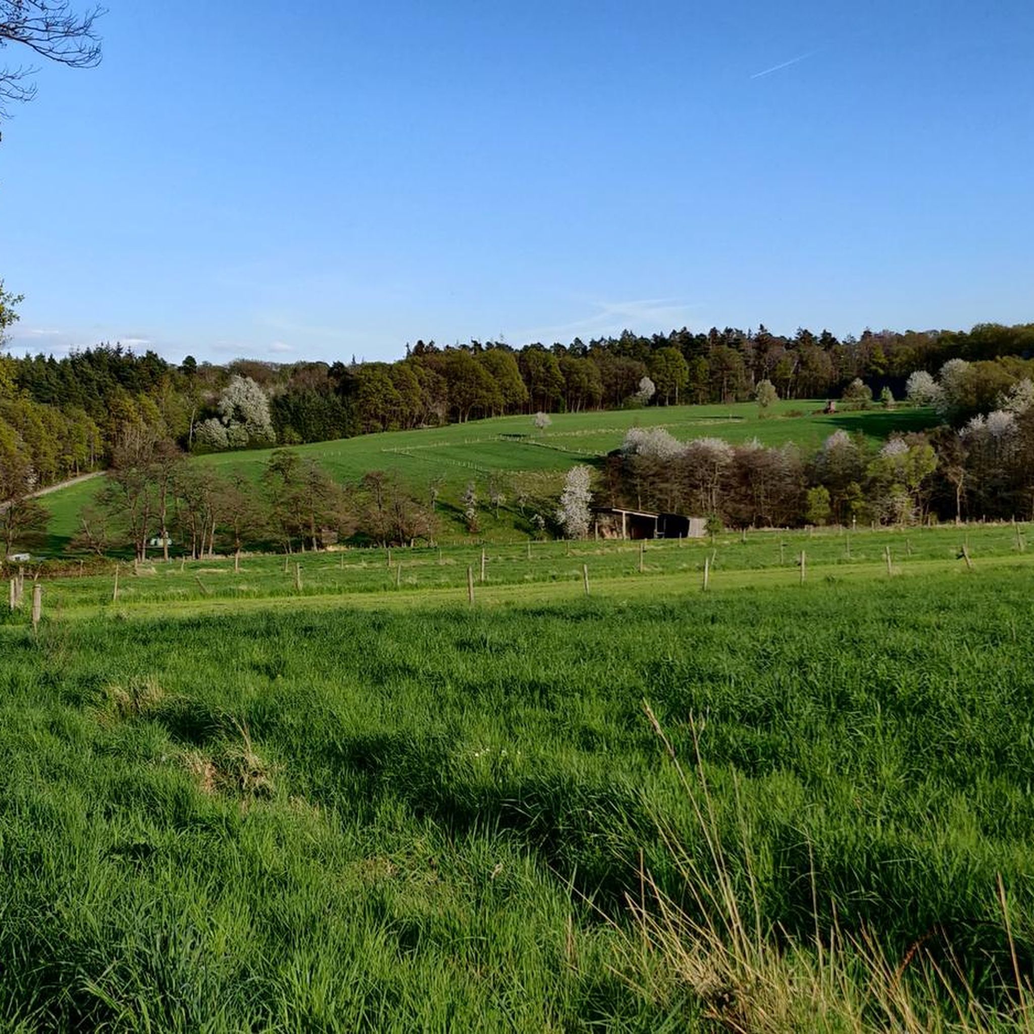
This path is significantly narrower than some of the straight forest highways that can also be found in parts of the Rheinbach Forest. It's especially nice to walk between spring and fall, when the leaves are on the trees...
2
0

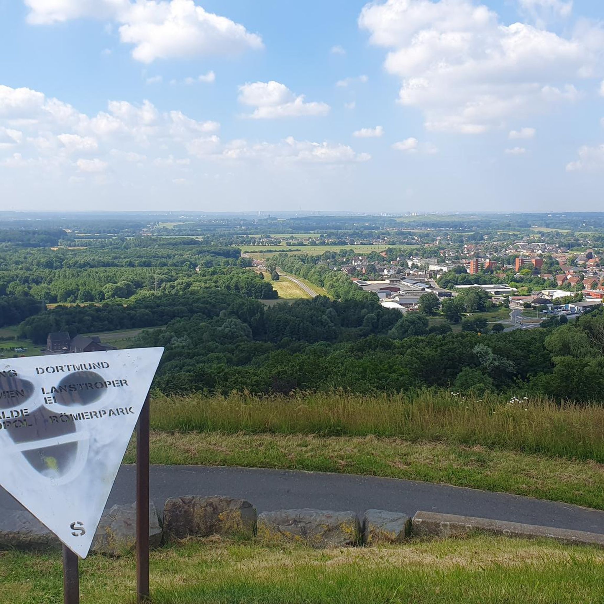
From and around the Tomburg: a magnificent view of a diverse settlement, culture, and landscape area, from the Ville and Börden landscape in the west, across the 'Middle Rhine Gate', where the Rhine Valley widens, to the Siebengebirge on the horizon, and further into the Wachtberg region with Landskron Castle in the south. 😎👌
0
0

Frequently Asked Questions
What kind of terrain can I expect when hiking in Nsg Rheinbacher Wald?
Nsg Rheinbacher Wald features a varied topography shaped by its volcanic origins, so you'll encounter volcanic peaks, craters, and old quarries. The landscape is generally hilly and covered by extensive beech-oak mixed forests. Trails range from wide paths to narrower, more natural routes that may include roots, stones, and footbridges.
Are there any historical landmarks or natural attractions to see along the trails?
Yes, the region is rich in both natural beauty and historical sites. A prominent highlight is the Tomburg Castle Ruins, perched on a volcanic cone with expansive views. You can also visit the serene Rheinbach Forest Chapel. Natural features include the scenic Old Ponds and the Ponds and Eulenbach Stream in Rheinbach City Forest, where the Eulenbach stream dams up. Hikers might also encounter segments of an ancient Roman water pipeline and an old Roman road.
What is the best time of year to go hiking in Nsg Rheinbacher Wald?
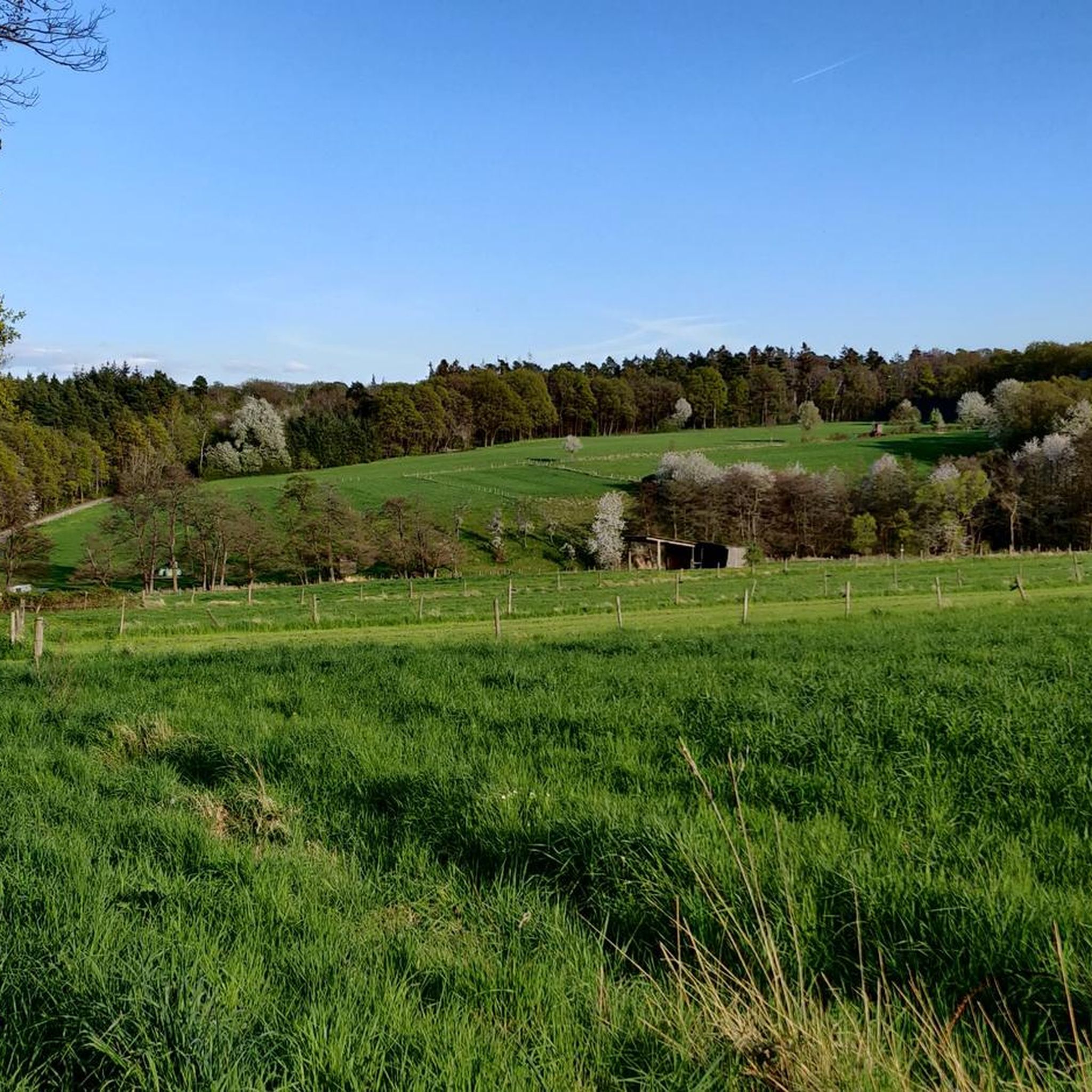
The Nsg Rheinbacher Wald is particularly picturesque in spring, when the trees are covered in fresh green foliage, making it an ideal time for walks and hikes. However, its diverse landscapes and well-maintained trails offer rewarding experiences throughout the year, with autumn providing vibrant colors and winter offering a quiet, serene atmosphere.
Are there any easy hiking trails suitable for beginners or families?
Yes, Nsg Rheinbacher Wald offers many easy routes. For example, the Tomburg Castle Ruins – View of the Siebengebirge loop from NSG Rheinbacher Wald is an easy 6.4 km trail that takes about 1 hour 43 minutes. Another accessible option is the Tomburg Castle Ruins – Chapel Path loop from NSG Rheinbacher Wald, which is 5.3 km long and also considered easy.
Are dogs allowed on the hiking trails in Nsg Rheinbacher Wald?
Yes, Nsg Rheinbacher Wald is generally dog-friendly. Many trails are suitable for walks with your canine companion. However, it's always recommended to keep dogs on a leash, especially in areas with wildlife or near other hikers, and to respect local regulations regarding nature protection.
What do other hikers say about their experiences in Nsg Rheinbacher Wald?
The area is highly rated by the komoot community, with an average score of 4.7 stars from over 780 reviews. Hikers often praise the diverse landscapes, the well-maintained network of trails, and the combination of natural beauty with historical landmarks like the Tomburg Castle Ruins. Many appreciate the variety of routes suitable for different fitness levels.
Are there any circular hiking routes available?
Yes, Nsg Rheinbacher Wald has several excellent circular routes. A popular moderate option is the Old Ponds – Nature trail by the Eulenbach stream loop from NSG Rheinbacher Wald, which is 9.3 km long. The Tomburg Castle Ruins – View of the Siebengebirge loop from NSG Rheinbacher Wald is another well-regarded circular trail.
How many hiking trails are there in Nsg Rheinbacher Wald?
There are over 100 hiking routes available in Nsg Rheinbacher Wald, catering to various preferences and fitness levels. This includes 73 easy routes, 33 moderate routes, and a few more challenging options.
Can I combine different trails for a longer hike?
Yes, the trails in Nsg Rheinbacher Wald are often interconnected, allowing for longer hikes. For instance, the Rheinbacher-Wald-Runde can link with the Tomburg-Runde and the Naturpark Feuerroute, enabling you to create extended routes of up to approximately 20 km for a more comprehensive exploration of the area.
Are there any challenging routes for experienced hikers?
While most routes are easy to moderate, there is at least one difficult trail for experienced hikers seeking a greater challenge. The Vischelbach Stream – Nature trail by the Eulenbach stream loop from NSG Rheinbacher Wald is a demanding 19.3 km route with significant elevation changes, offering a more strenuous adventure.
What kind of natural features can I expect to see besides forests?
Beyond the extensive beech-oak mixed forests, you'll frequently encounter streams and a series of 'Old Ponds' where the Eulenbach stream dams up. The region's volcanic past means you might also see volcanic peaks, craters, and old quarries, adding unique geological interest to your hike.
Most popular routes in Nsg Rheinbacher Wald
Most popular attractions in Nsg Rheinbacher Wald

Get inspired with the komoot mobile app


Explore more
Browse the best Hikes in other regions.
