The best road cycling routes in Rammelaars
4.4
(311)
15,726
riders
543
rides
Road cycling routes in Rammelaars are situated within a natural park area near Hasselt, offering a variety of terrain for cyclists. The region features routes that incorporate water features like canals and bridges, alongside areas with gentle elevation changes. While specific prominent geographical features are not widely documented for the Rammelaars geographical location, the routes suggest a landscape suitable for varied road cycling experiences.
Best road cycling routes in Rammelaars
- The most popular road cycling route is Jagershof Bailey Bridge…
Last updated: September 30, 2026
5.0
(1)
62
riders
36.9km
01:38
170m
170m
Easy road ride. Great for any fitness level. Mostly well-paved surfaces and easy to ride.
4.0
(2)
133
riders
55.1km
02:23
150m
150m
Moderate road ride. Good fitness required. Mostly well-paved surfaces and easy to ride.

11
riders
79.7km
03:45
420m
420m
Moderate road ride. Good fitness required. Mostly well-paved surfaces and easy to ride.
19
riders
36.9km
01:33
110m
110m
Moderate road ride. Great for any fitness level. Some segments of this route may be unpaved and difficult to ride.
12
riders
76.2km
03:22
120m
120m
Moderate road ride. Good fitness required. Mostly well-paved surfaces and easy to ride.
Get access to more routes and recommendations from other explorers.
Already have an account?
Our route recommendations are based on thousands of hikes, rides, and runs completed by other people on komoot.
Start today with a free account
Your next adventure awaits.
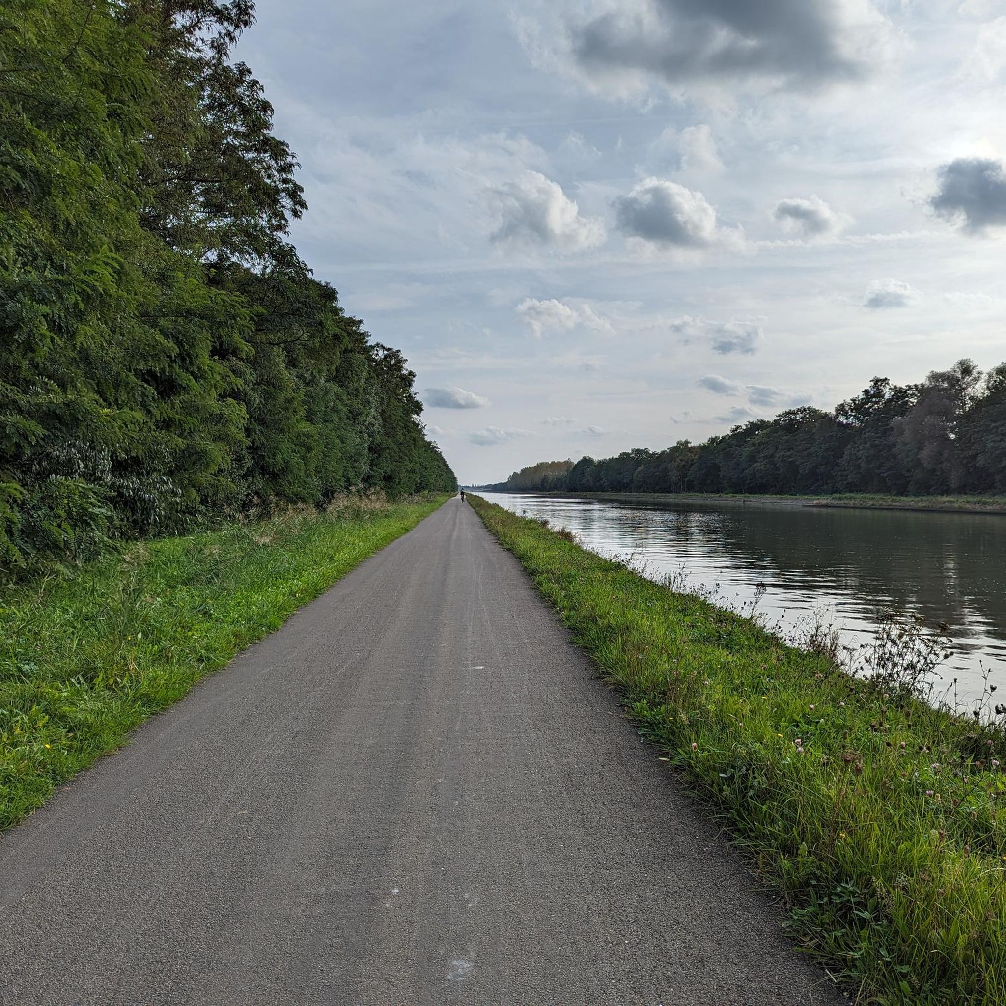
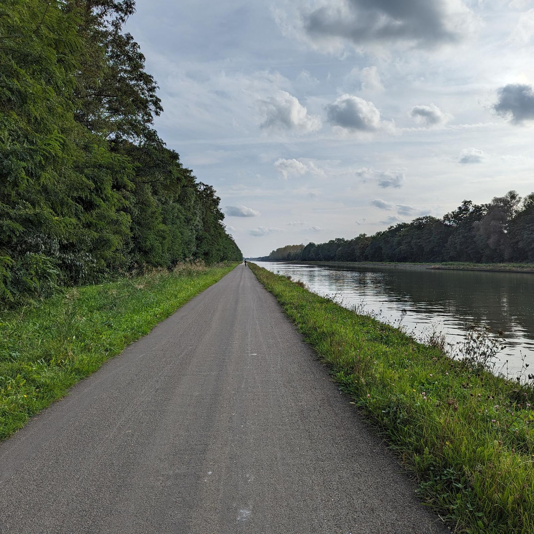
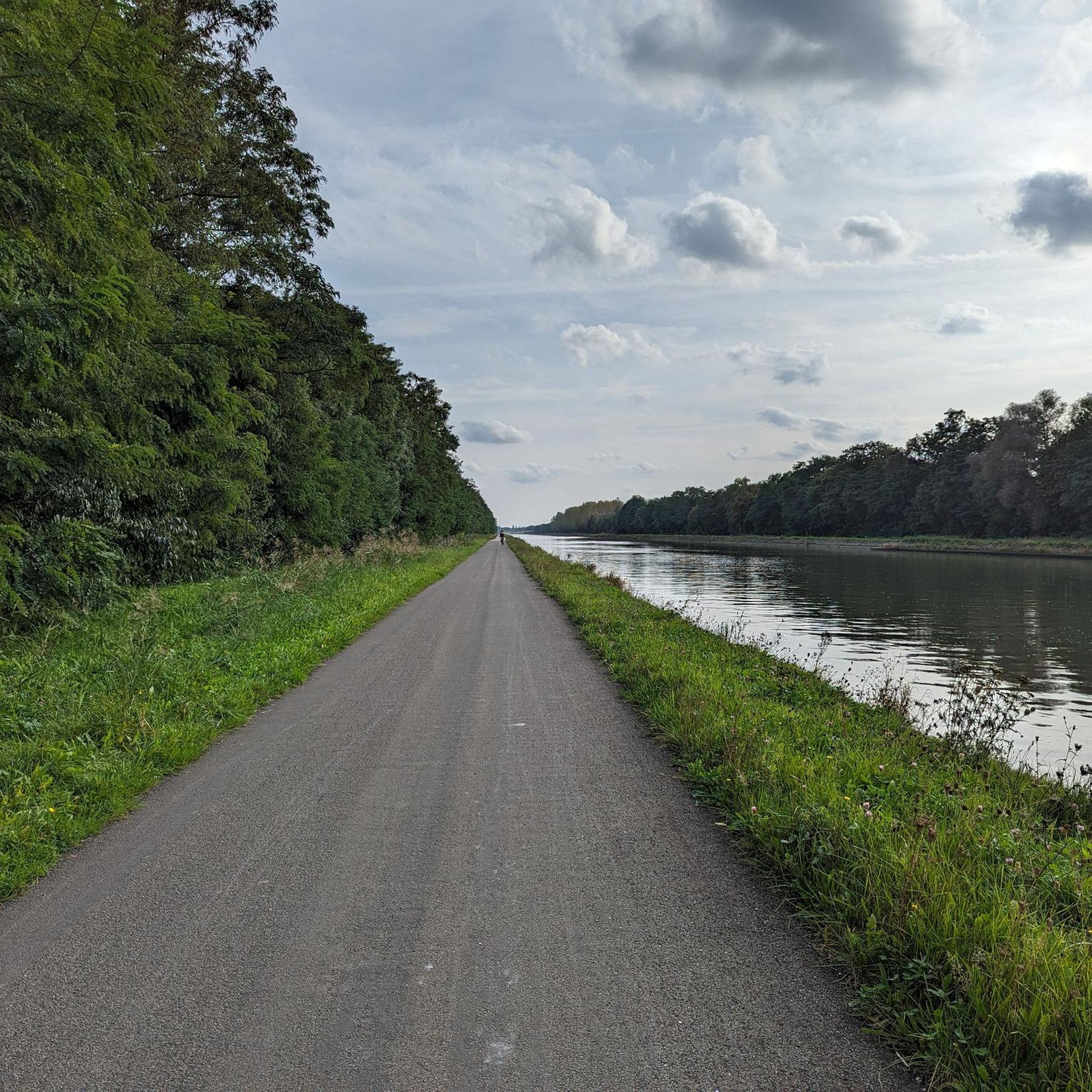
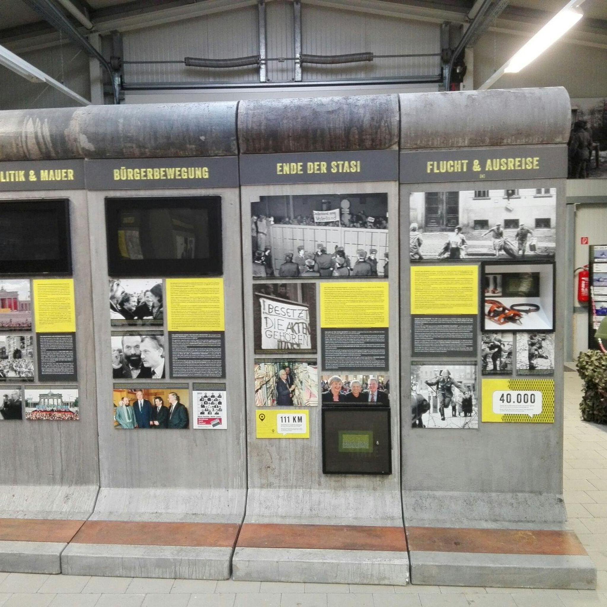
Tips from the Community

For anyone who wants a tough climb...
1
0

One of the many catering businesses in Gerhagen. Along the cycle node network with its own parking.
0
0

The existing bridge at Schaluinstraat in Diest connects to the network of slow roads near the station area. It forms the starting and connection point for the Demerpad, started in 2026, a separate cycle path along the Demer river that is part of the F26 cycle highway between Aarschot and Diest.
4
0
Webbekoms Broek is part of the Flemish Nature Reserve Webbekomsbroek-Borchbeemden, a contiguous area of 397 ha, managed by the Flemish Agency for Nature and Forest. This also includes the Diesters Broek, the Schaffens Broek and the Borchbeemden: Rotbroek, Gorenbroek and Sint-Jansberg. Several watercourses flow through the area. The most important of these is the Demer. The others are primarily its tributary the Zwarte Beek, the Grote Leigracht and the Leigracht. The Demer valley has been plagued by floods for centuries. The worst floods in recent history date from 1998. There were also serious floods in Diest in 2008. To prevent serious water nuisance, retention basins and floodplains were installed. The Webbekoms Broek and its surroundings are a floodplain. In September 1998, a retention basin with a surface area of 144 ha was put into use in the Webbekoms Broek. The area can hold 3.5 million m³ of water. There is an inner basin and an outer basin. The inner basin is surrounded by dikes. The rest forms the outer basin, which mainly functions as a nature reserve.
4
0
Between two smaller hills you pass this chapel...
4
0
Very beautiful location with ample parking, lots of catering, drinking water fountain, public toilets and covered picnic area. There is also a forest museum that is freely accessible. Ideal place to start your tour, to take a break, or to simply enjoy the beautiful nature.
1
0

The De Asdonkstraat is located in the middle of the Dassenaarde nature reserve in Molenstede. You walk there when you explore the nature reserve.
7
0
Frequently Asked Questions
What kind of terrain can I expect on road cycling routes in Rammelaars?
Road cycling routes in Rammelaars traverse a natural park area near Hasselt. You'll encounter varied terrain, including routes that incorporate water features like canals and bridges, alongside areas with gentle elevation changes. The landscape offers a mix of flat sections and minor ascents.
How many road cycling routes are available in Rammelaars?
There are over 680 road cycling routes available in Rammelaars, offering a wide range of options for different preferences and skill levels.
Are there road cycling routes suitable for beginners in Rammelaars?
Yes, Rammelaars offers numerous routes suitable for beginners. There are over 100 easy routes, such as the Jagershof Bailey Bridge – SAS4 Observation Tower loop from Olmen, which is 27.9 miles (45.0 km) with a low elevation gain of 228 feet (70 m).
Can I find more challenging road cycling routes in Rammelaars?
While Rammelaars is known for its gentle terrain, there are 53 routes classified as difficult. Routes like the Houterenberg Climb – The Peerdenposterij loop from Tessenderlo-Ham offer areas with some climbs, providing a more demanding experience.
Are there any circular road cycling routes in Rammelaars?
Many of the road cycling routes in Rammelaars are designed as loops, allowing you to start and finish at the same point. Examples include the popular Kamerstraat – Dessel-Kwaadmechelen Canal loop from Olmen and the Averbode Abbey – Houterenberg Climb loop from Kwaadmechelen.
What do other road cyclists enjoy most about cycling in Rammelaars?
The area is highly rated by the komoot community, with an average score of 4.4 stars from over 270 reviews. Cyclists often praise the varied terrain, the natural park landscapes, and the well-maintained routes that cater to different ability levels.
What are some interesting places to see along the road cycling routes in Rammelaars?
While cycling, you can explore several natural and historical points of interest. Notable attractions include the De Rammelaars Nature Reserve, the Old Iron Ore Mining Pit, and the unique Boardwalk Through the Swamp Forest. You might also encounter remnants of Peat Pits.
Are there any short road cycling routes for a quick ride?
Yes, for a shorter ride, consider routes like the Blue Bridge loop from Kwaadmechelen. This easy route is just 6.4 miles (10.3 km) long and can be completed in about 30 minutes.
Is Rammelaars a good region for long-distance road cycling?
With over 680 routes, including many moderate options, Rammelaars offers good potential for longer rides. Routes like the Kamerstraat – Dessel-Kwaadmechelen Canal loop from Olmen (31.4 miles / 50.6 km) provide a good foundation for extending your distance through the interconnected network of paths.
What is the best season for road biking in Rammelaars?
While specific seasonal data isn't available, regions with natural park landscapes and gentle hills are generally pleasant for road cycling from spring through early autumn. Mild temperatures and less precipitation typically make for ideal riding conditions during these months.
Are there road cycling routes that pass by cafes or places to stop for refreshments?
Many routes in established cycling regions often have opportunities to stop for refreshments in nearby villages or towns. While specific cafes are not listed for individual routes, the presence of routes starting from places like Olmen and Tessenderlo-Ham suggests amenities are accessible along or near the trails.
Most popular routes in Rammelaars
Most popular attractions in Rammelaars

Get inspired with the komoot mobile app


Explore more
Browse the best Road cycling routes in other regions.
