Naturschutzgebiet Uelzener Heide / Mühlhauser Mark
Naturschutzgebiet Uelzener Heide / Mühlhauser Mark
The best cycling routes in Naturschutzgebiet Uelzener Heide / Mühlhauser Mark
4.5
(9436)
38,537
riders
844
rides
Touring cycling routes in Naturschutzgebiet Uelzener Heide / Mühlhauser Mark traverse a diverse landscape characterized by moist forests, willow trees, reed beds, and various grasslands. The region features numerous springs and small bodies of water, providing varied scenery. An old railway line has been converted into a dedicated cycling path, offering well-developed, flat routes. The generally low height differences throughout the area make it suitable for relaxed touring cycling.
Best touring cycling routes in Naturschutzgebiet Uelzener Heide / Mühlhauser Mark
…Last updated: July 28, 2026
4.7
(6)
39
riders
9.30km
00:34
50m
50m
Easy bike ride. Great for any fitness level. Mostly paved surfaces. Suitable for all skill levels.
14
riders
9.09km
00:32
40m
40m
Easy bike ride. Great for any fitness level. Mostly paved surfaces. Suitable for all skill levels.

Sign up for free
4.0
(2)
8
riders
Easy bike ride. Great for any fitness level. Mostly paved surfaces. Suitable for all skill levels.
4.5
(4)
8
riders
15.9km
01:02
190m
190m
Moderate bike ride. Good fitness required. Mostly paved surfaces. Suitable for all skill levels.
4.5
(2)
6
riders
Easy bike ride. Great for any fitness level. Mostly paved surfaces. Suitable for all skill levels.
Get access to more routes and recommendations from other explorers.
Sign up for free
Already have an account?
Our route recommendations are based on thousands of hikes, rides, and runs completed by other people on komoot.
Start today with a free account
Your next adventure awaits.
Login or Signup
Popular around Naturschutzgebiet Uelzener Heide / Mühlhauser Mark
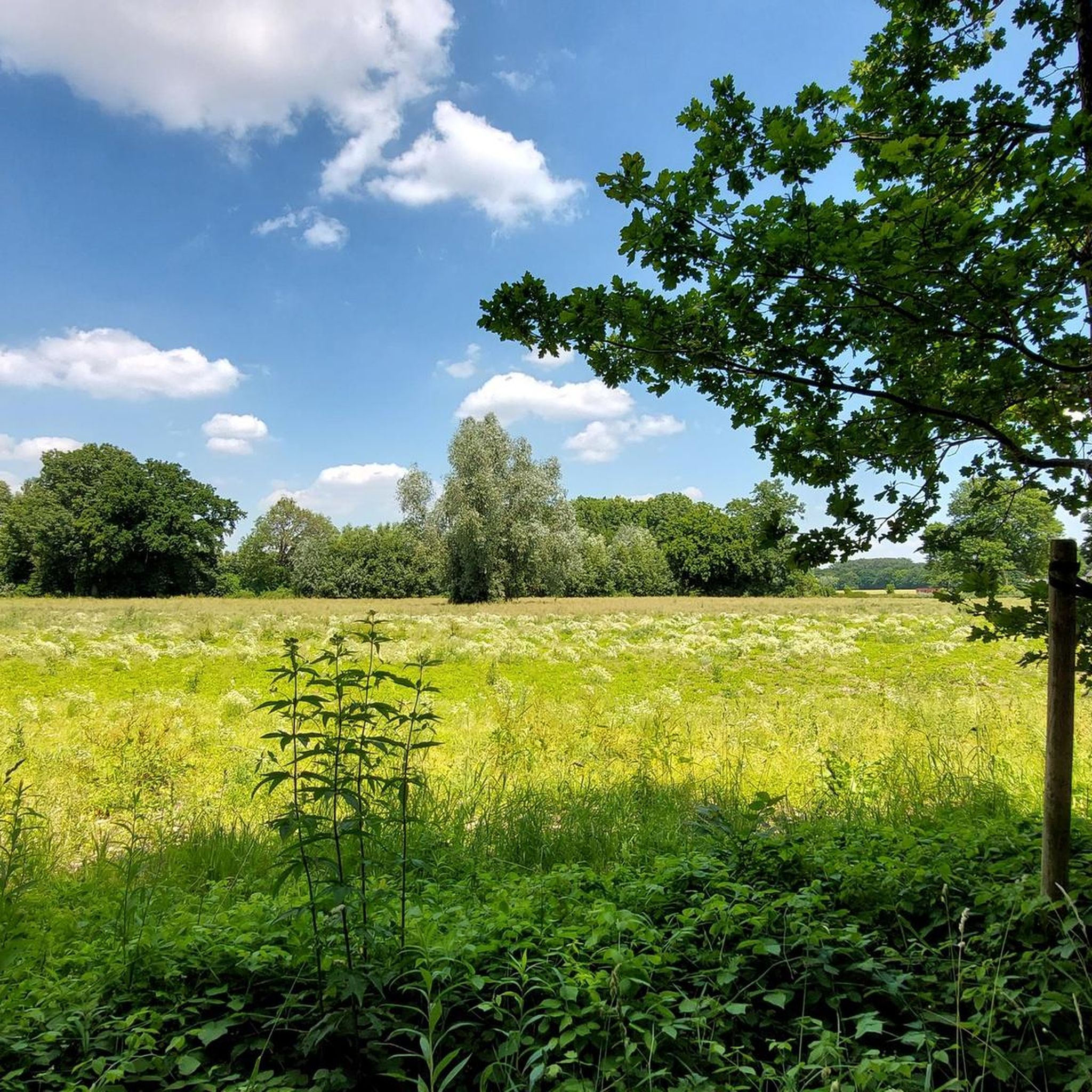
Road Cycling Routes in Naturschutzgebiet Uelzener Heide / Mühlhauser Mark
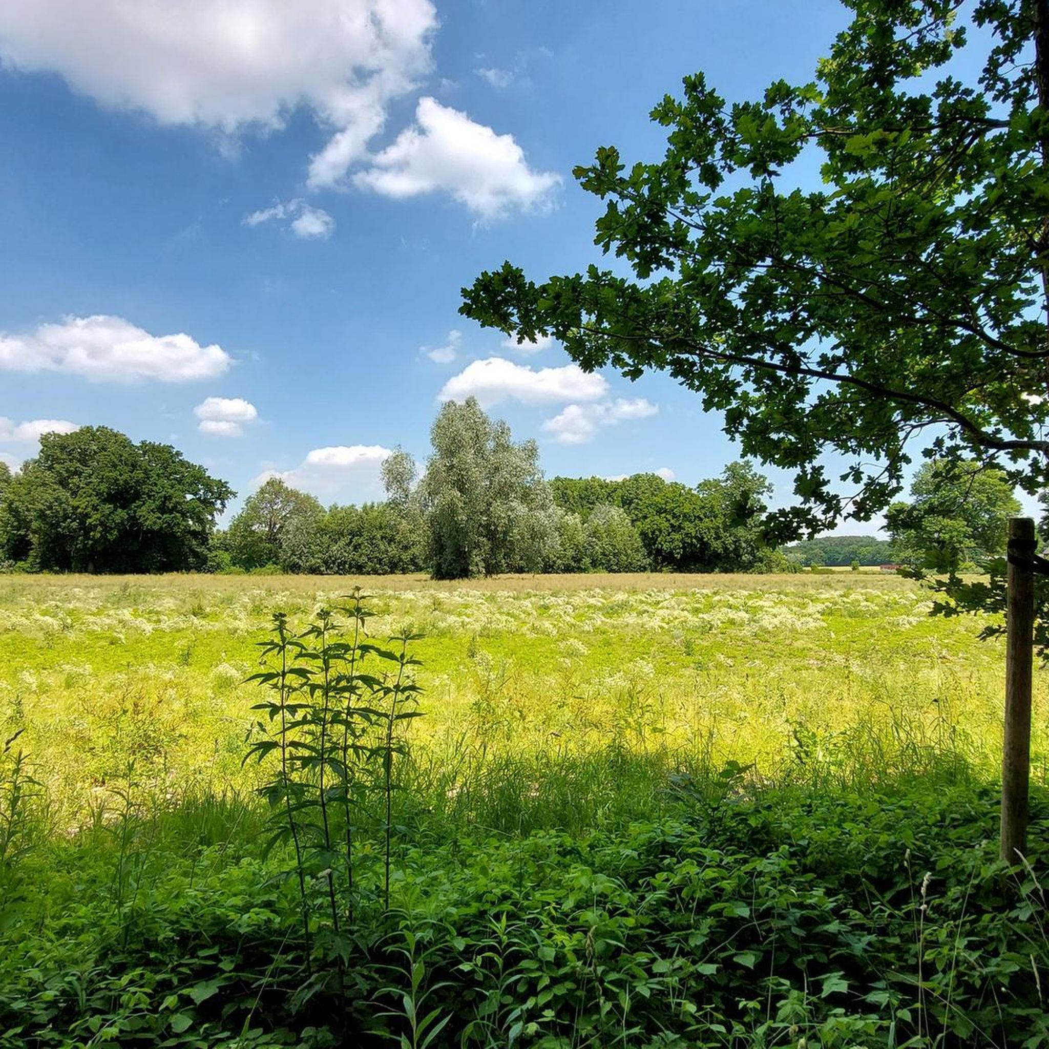
MTB Trails in Naturschutzgebiet Uelzener Heide / Mühlhauser Mark
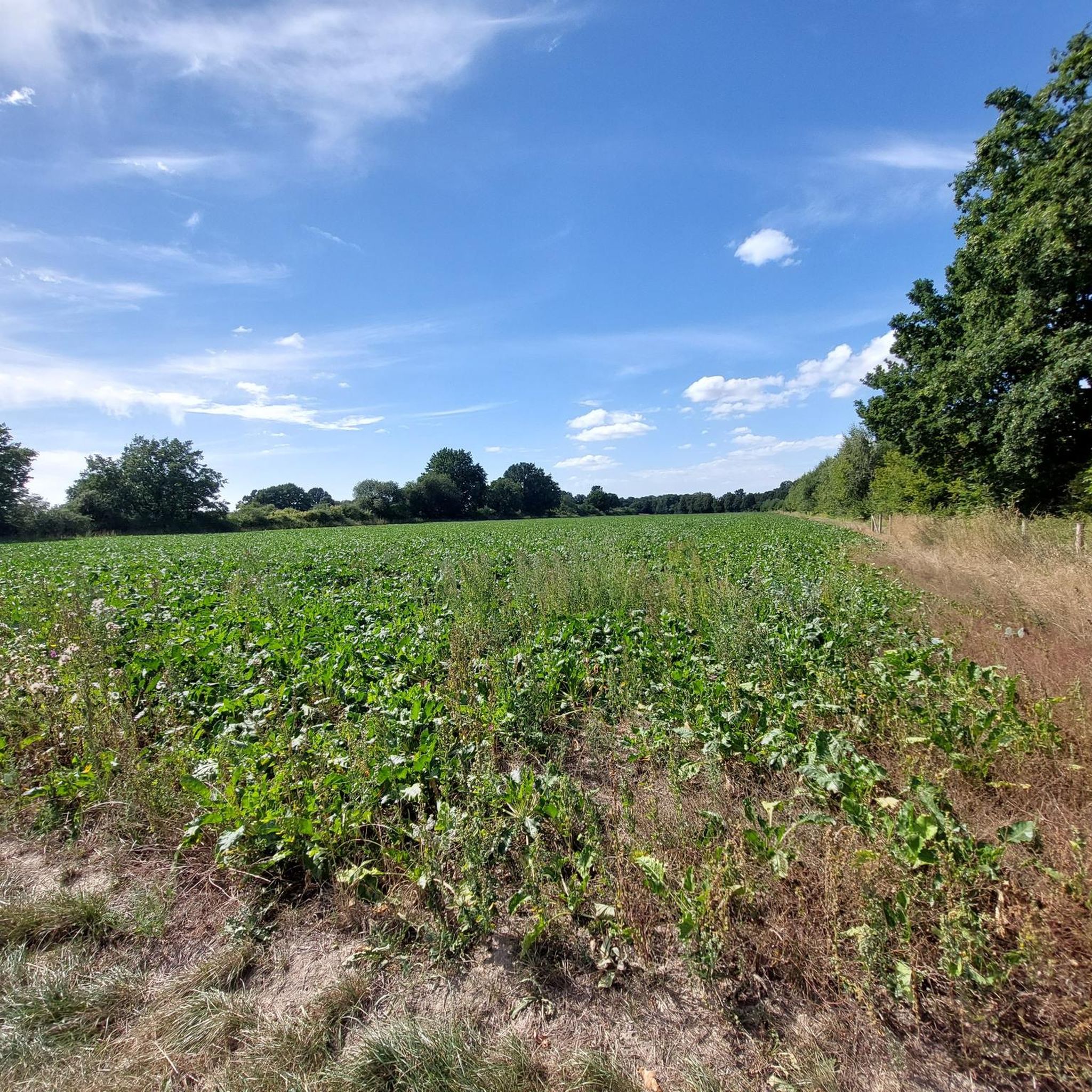
Running Trails in Naturschutzgebiet Uelzener Heide / Mühlhauser Mark
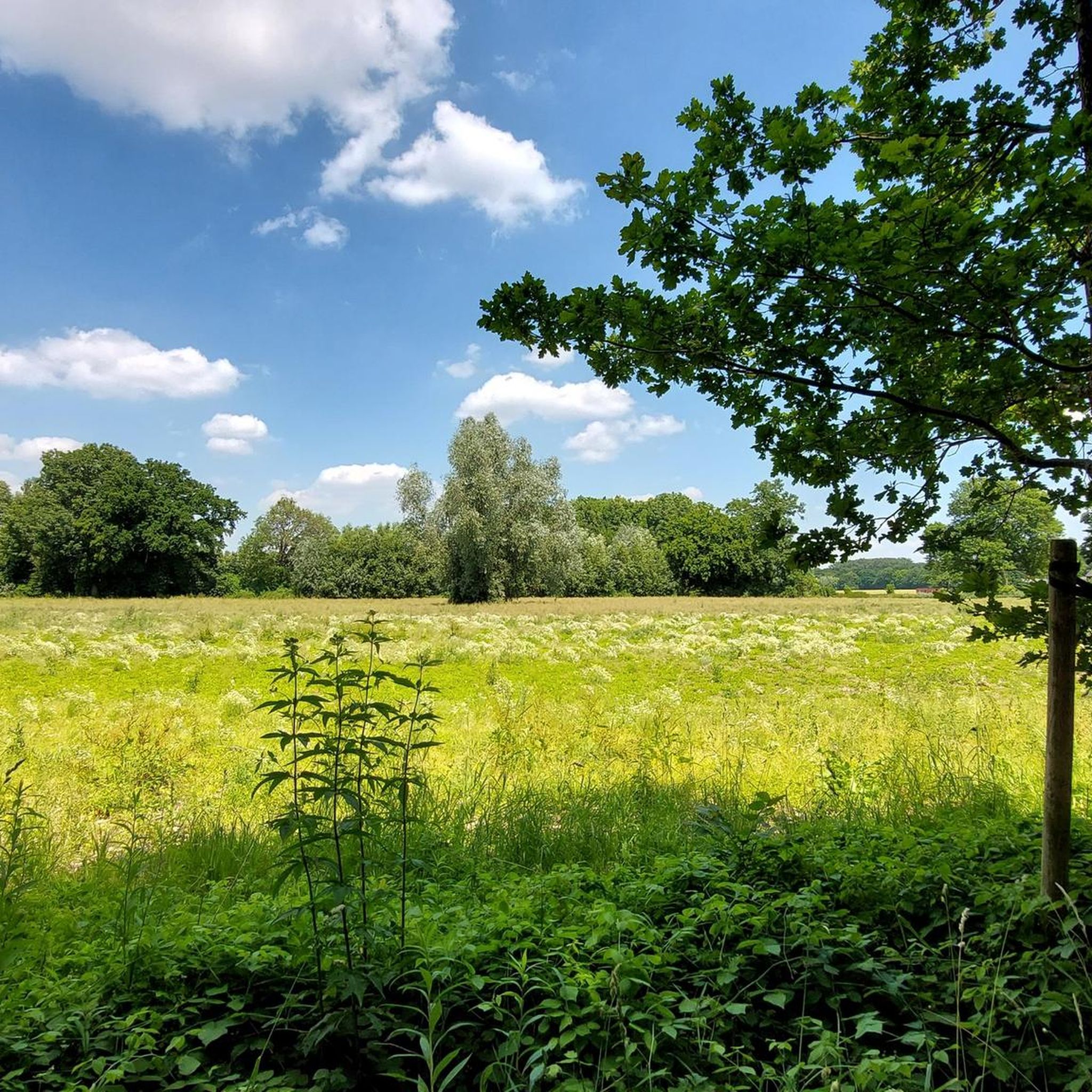
Hiking in Naturschutzgebiet Uelzener Heide / Mühlhauser Mark
Gravel biking in Naturschutzgebiet Uelzener Heide / Mühlhauser Mark
Tips from the Community

on the way to Westhemmerde
0
0
Shortly after the town entrance. Siddinghs.right > Frömern
0
0
parallel to the old B1
0
0


Once you get used to the fact that it goes up and down now and then, you can cruise very nicely here off the main roads between the fields in the surrounding area.
0
0
Passed by here this morning at sunrise
0
0
There's not much left to see of the ruins.
0
0

As a HL, this is a bit too poor for me, but it's definitely nicer than always driving along the highway
0
0
Frequently Asked Questions
How many touring cycling routes are available in Naturschutzgebiet Uelzener Heide / Mühlhauser Mark?
There are over 740 touring cycling routes in Naturschutzgebiet Uelzener Heide / Mühlhauser Mark, offering a wide variety of options for different skill levels and preferences.
What is the terrain like for touring cycling in Naturschutzgebiet Uelzener Heide / Mühlhauser Mark?
The terrain is generally characterized by low height differences, making it ideal for relaxed touring cycling. Many routes utilize converted old railway lines, providing well-developed, flat paths. You'll cycle through diverse landscapes including moist forests, willow trees, reed beds, and various grasslands.
Are there routes suitable for beginners or families with children?
Yes, the area is very suitable for beginners and families. A significant portion of the routes, over 460, are classified as easy. The low height differences and dedicated cycling paths, like those converted from old railway lines, make for a comfortable and enjoyable experience for all ages. For example, the Bike loop from Naturschutzgebiet Uelzener Heide / Mühlhauser Mark is an easy route winding through varied natural landscapes.
What natural attractions or landmarks can I see along the touring cycling routes?
The routes offer several notable natural attractions. You can encounter the impressive Champion Tree (Platanus x hispanica) in Uelzener Heide, a 300-year-old plane tree. The Westphalian Railway Cycle Path Königsborn–Welver is a highlight in itself, offering scenic views. You might also spot the remains of the railway bridge on the Uelzener Heide railway line, adding a historical touch to the natural scenery.
Are there any circular touring cycling routes in the area?
Yes, many routes in Naturschutzgebiet Uelzener Heide / Mühlhauser Mark are designed as loops, allowing you to start and end at the same point. Popular options include the easy Geographical Center of Unna – View of the Haarstrang loop from Unna, which offers views of surrounding nature, and the Small Bridge Over the Mühlbach loop from Uelzener Heide – Mühlhauser Mark, which follows the Mühlbach stream.
What is the best time of year for touring cycling in Naturschutzgebiet Uelzener Heide / Mühlhauser Mark?
The diverse landscapes, including moist forests and open grasslands, are beautiful throughout the warmer months. Spring and autumn offer pleasant temperatures and vibrant scenery, while summer provides longer daylight hours. The well-developed paths, including converted railway lines, generally remain accessible, though conditions may vary with weather.
Is parking available for touring cyclists near the routes?
Yes, parking is generally available at various access points to the nature reserve and its cycling paths. Given the popularity of the area for outdoor activities, you can typically find designated parking areas near trailheads or within nearby towns like Unna, which provide convenient starting points for your tours.
How can I access the touring cycling routes using public transport?
The region is reasonably accessible by public transport. You can reach nearby towns and villages by train or bus, and from there, connect to the extensive cycling network. Many routes are designed to be accessible from urban centers, allowing for easy integration with public transport options.
Are there places to rest or stop along the touring cycling routes?
Yes, the area offers several spots for rest and relaxation. A notable example is the Rest Stop at the Wooden Bridge (Rastplatz Holzbrücke), which is a popular spot equipped with benches and tables, perfect for cyclists and hikers to pause and enjoy the surroundings.
What do other touring cyclists enjoy most about touring cycling in Naturschutzgebiet Uelzener Heide / Mühlhauser Mark?
The area is highly rated by the komoot community, with an average score of 4.6 stars from over 8,200 reviews. Touring cyclists often praise the tranquil environment, the well-maintained paths, especially the converted railway lines, and the diverse natural scenery that includes moist forests, reed beds, and the winding Mühlbach stream. The low height differences are also frequently appreciated for making the routes accessible to many.
Are there any longer or more challenging touring cycling routes for experienced cyclists?
While many routes are easy, there are options for more experienced cyclists. The region offers 56 difficult and 222 moderate routes. For example, the View of the Haarstrang – Geographical Center of Unna loop from Unna is a moderate 16.2 km (10.1 miles) route with more elevation gain, providing a greater challenge while still offering scenic views.
Most popular routes in Naturschutzgebiet Uelzener Heide / Mühlhauser Mark
Most popular attractions in Naturschutzgebiet Uelzener Heide / Mühlhauser Mark

Get inspired with the komoot mobile app


Explore more
Browse the best Cycling routes in other regions.
