The best MTB trails in Großer Weidenteich
4.5
(825)
2,452
riders
292
rides
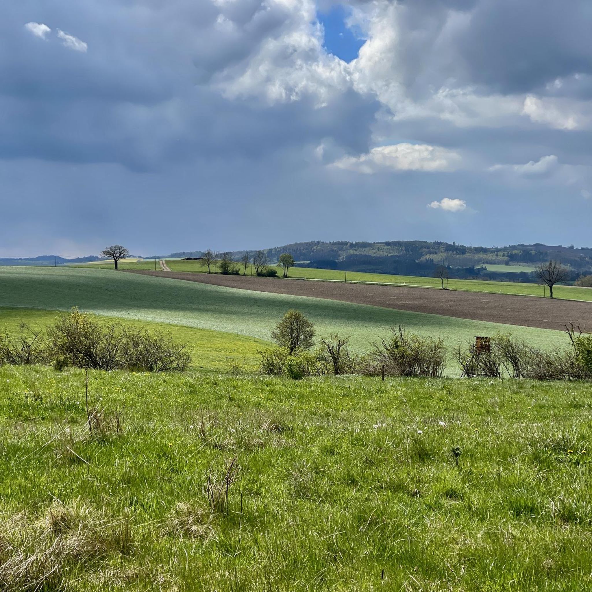
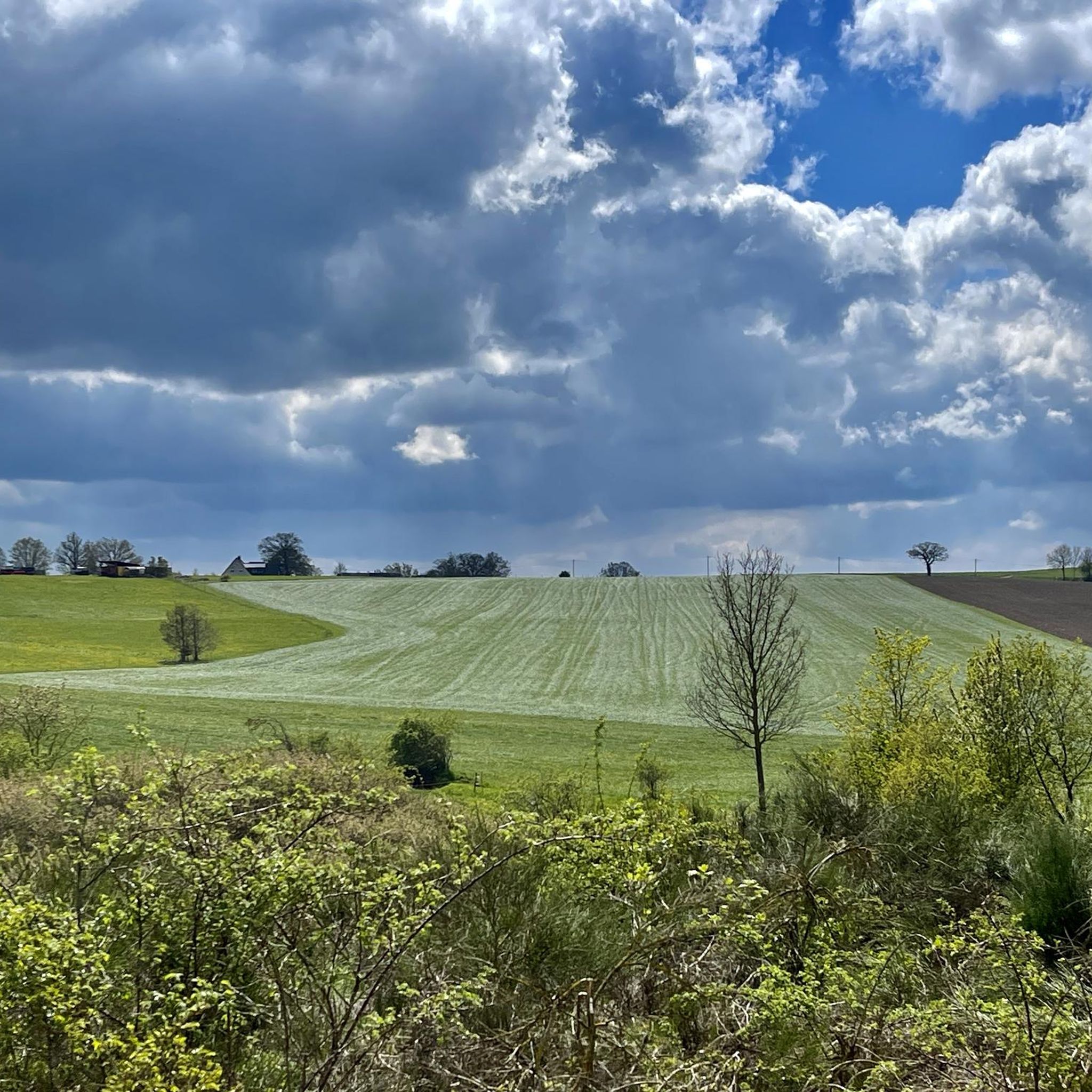
Mountain biking in Großer Weidenteich offers diverse terrain within the Vogtlandkreis region of Saxony, Germany. The area features a unique landscape shaped by past land use, creating varied relief with dry and warm spots alongside moist, water-filled depressions and pond systems. Riders can expect routes that traverse open meadows, pass through sections with whitethorn and hazelnut bushes, and encounter distinctive silicate rock formations. The broader Vogtland region is known for its extensive network of mountain bike trails, providing a range…
Last updated: November 11, 2026
2.0
(1)
6
riders
Easy mountain bike ride.
5.0
(1)
3
riders
39.1km
02:37
460m
460m
Moderate mountain bike ride. Good fitness required. Advanced riding skills necessary.

2
riders
15.0km
01:07
250m
250m
Easy mountain bike ride.
4.5
(13)
22
riders
Moderate mountain bike ride. Advanced riding skills necessary.
4.0
(1)
6
riders
Easy mountain bike ride.
Get access to more routes and recommendations from other explorers.
Already have an account?
Our route recommendations are based on thousands of hikes, rides, and runs completed by other people on komoot.
Start today with a free account
Your next adventure awaits.
Tips from the Community

Actually a scenically beautiful, quiet hiking area. What is annoying, however, are the extremely many dog droppings on the paths.
0
0

A small, covered picnic area in the Großer Weidenteich nature reserve. The entire surrounding area is heathland. The willow pond, which gives the park its name, can be seen from afar, but you can't get close to it.
0
0
The Oberpirk Dam has existed since 1954. It is considered the smallest dam in Europe, with a dam wall width of 12 meters, a length of 100 meters, and a water level of 2.50 meters. There is a small bench in front of the dam. However, when the meadow has been mowed, you can also have a picnic right there.
0
0

This is a Royal Saxon milestone in the form of a station stone. "In the Kingdom of Saxony, in connection with the work of the Standardization Commission and the related leading efforts by Albert Christian Weinlig and Julius Ambrosius Hülße, preparations for the introduction of the metric system were completed. [...] Following a re-survey in 1858, a new system of milestones – the Royal Saxon milestones in the form of station, whole-mile, half-mile, branch, and border crossing stones – was created between 1859 and 1865 (from 1840: 1 mile = 7.5 km)." - https://de.wikipedia.org/wiki/Kurs%C3%A4chsische_Postmeilens%C3%A4ule#Nachfolger
0
0
The old signposts can still be found in many Saxon towns. This one is still very centrally located at a major intersection on the B282.
0
0
A replica of the distance column, originally erected between 1725 and 1732 in front of the Brückentor (B. Th.) and removed around 1850, bearing the date 1726 but without any distance inscriptions, was erected in 1986 from Rochlitz porphyry on Reichenbacher Straße (B 173) in front of the Alte Elsterbrücke (now a pedestrian bridge along Brückenstraße). On December 2, 2010, a winter maintenance vehicle destroyed the column. Reconstruction, which continued until October 2011, was based on historical principles, with distance inscriptions and the documented year 1725. Only the 1986 coat of arms piece could be reused. Source and further information https://de.m.wikipedia.org/wiki/Galerie_der_kurs%C3%A4chsischen_Postmeilens%C3%A4ulen
1
0


The Old Elster Bridge in Plauen is the second oldest surviving stone arch bridge in Saxony after the Meissen Castle Bridge (1221/28) and one of the oldest in Central Europe. It was first documented in 1244 as the "Pons lapideus" (stone bridge). Source: https://de.m.wikipedia.org/wiki/Alte_Elsterbrücke
2
0
Frequently Asked Questions
How many mountain bike trails are available in Großer Weidenteich?
There are over 300 mountain bike trails in Großer Weidenteich and the immediate surrounding area. These routes cater to various skill levels, including easy, moderate, and difficult options.
What kind of terrain can I expect when mountain biking in Großer Weidenteich?
Mountain biking in Großer Weidenteich offers diverse terrain, characterized by pond systems, varied relief, and sections of mixed woodland. You'll find routes traversing open meadows, passing through areas with whitethorn and hazelnut bushes, and encountering distinctive silicate rock formations. The broader Vogtland region provides narrow paths, deep forests, and impressive rock formations.
Are there easy or family-friendly mountain bike trails in Großer Weidenteich?
Yes, Großer Weidenteich offers several easy and family-friendly mountain bike trails. An excellent option is the Kleiner Weidenteich – Weidenteiche Nature Reserve loop from Straßberg, which is 7.2 km long and explores the tranquil pond systems. Another easy route is the Weidenteiche Nature Reserve loop from Straßberg, covering 15.3 km through varied terrain.
Are there options for more advanced mountain bikers?
While Großer Weidenteich itself is more focused on nature observation, the broader Vogtland region, particularly Bikewelt Schöneck, offers challenging trails for advanced riders. Bikewelt Schöneck features diverse trails including flow trails, jump lines like the 'Bockmühle' Jumpline with over 25 jumps, and natural single trails with technical root passages.
What natural features or landmarks can I see along the mountain bike trails in Großer Weidenteich?
Along the trails, you can explore the Großer Weidenteich Nature Reserve, known for its diverse aquatic habitats and rich biodiversity. You might also encounter the Teufelskanzel Rock, which offers scenic views. The landscape is also shaped by unique silicate rock formations made of volcanic diabase.
Is there parking available for mountain bikers in Großer Weidenteich?
Yes, there is dedicated parking available. For instance, you can find the Großer Weidenteich Parking Lot, which provides convenient access to the trails.
What is the best time of year to go mountain biking in Großer Weidenteich?
The best time for mountain biking in Großer Weidenteich is generally from spring to autumn. During these seasons, the weather is most favorable, and the trails are typically in good condition. The nature reserve's rich flora and fauna are also particularly vibrant during these months.
Can I reach the mountain bike trails in Großer Weidenteich by public transport?
While Großer Weidenteich is primarily accessed by car, some routes in the broader Vogtland region may be reachable via regional public transport. It's advisable to check local bus and train schedules for connections to towns near the trailheads, such as Straßberg or Kloschwitz, and plan your route accordingly.
Are there circular mountain bike routes in Großer Weidenteich?
Yes, many of the mountain bike routes in Großer Weidenteich are designed as circular loops. Examples include the Kleiner Weidenteich – Weidenteiche Nature Reserve loop from Straßberg and the Weidenteiche Nature Reserve loop from Straßberg, allowing you to start and end at the same point.
Are the mountain bike trails in Großer Weidenteich dog-friendly?
Many trails in the Großer Weidenteich area are suitable for dogs, especially those that traverse open meadows and woodlands. However, as it is a nature reserve, it's crucial to keep dogs on a leash to protect the diverse wildlife and ground-nesting birds. Always respect local signage regarding dog access.
What do other mountain bikers enjoy most about the trails in Großer Weidenteich?
The mountain bike trails in Großer Weidenteich are highly rated by the komoot community, with an average score of 4.6 stars from over 700 reviews. Riders often praise the tranquil pond systems, the varied natural landscape, and the well-maintained paths that offer a mix of easy and moderate challenges.
Are there other mountain biking opportunities in the broader Vogtland region?
Absolutely. The Vogtland region is a significant destination for mountain biking. A major highlight is Bikewelt Schöneck, which offers a comprehensive bike park with diverse trails for all skill levels and a modern lift system. Beyond the bike park, the trail network around Schöneck extends over 150 km, providing extensive options for various cycling preferences.
Most popular routes in Großer Weidenteich
Most popular attractions in Großer Weidenteich

Get inspired with the komoot mobile app


Explore more
Browse the best MTB trails in other regions.
