The best mountain hikes in Kerngebiet Im Nationalpark Bayerischer Wald
4.8
(109)
801
hikers
65
hikes
Mountaineering routes in Kerngebiet Im Nationalpark Bayerischer Wald traverse Germany's first and largest national park, characterized by wild, untamed landscapes. The region features a transition from rolling hills to imposing mountain ranges, particularly along the Czech border, forming Central Europe's largest continuous forest area. Mountaineers will encounter expansive ancient forests, crystal-clear mountain streams, and distinctive granite domes, with routes often involving significant elevation gains and varied, sometimes rocky, terrain.
Best mountaineering routes in Kerngebiet Im Nationalpark Bayerischer Wald
- The most…
Last updated: August 2, 2026
4.9
(9)
47
hikers
11.1km
03:55
650m
650m
Moderate mountaineering route. Good fitness required. Mostly accessible paths. Sure-footedness required.
5.0
(4)
32
hikers
Moderate mountaineering route. Good fitness required. Mostly accessible paths. Sure-footedness required.

Sign up for free
5.0
(5)
24
hikers
Hard mountaineering route. Good fitness required. Sure-footedness, sturdy shoes and alpine experience required.
5.0
(1)
19
hikers
4.80km
01:38
230m
240m
Hard mountaineering route. Great for any fitness level. Sure-footedness, sturdy shoes and alpine experience required.
13
hikers
Moderate mountaineering route. Good fitness required. Mostly accessible paths. Sure-footedness required.
Get access to more routes and recommendations from other explorers.
Sign up for free
Already have an account?
Our route recommendations are based on thousands of hikes, rides, and runs completed by other people on komoot.
Start today with a free account
Your next adventure awaits.
Login or Signup
Popular around Kerngebiet Im Nationalpark Bayerischer Wald
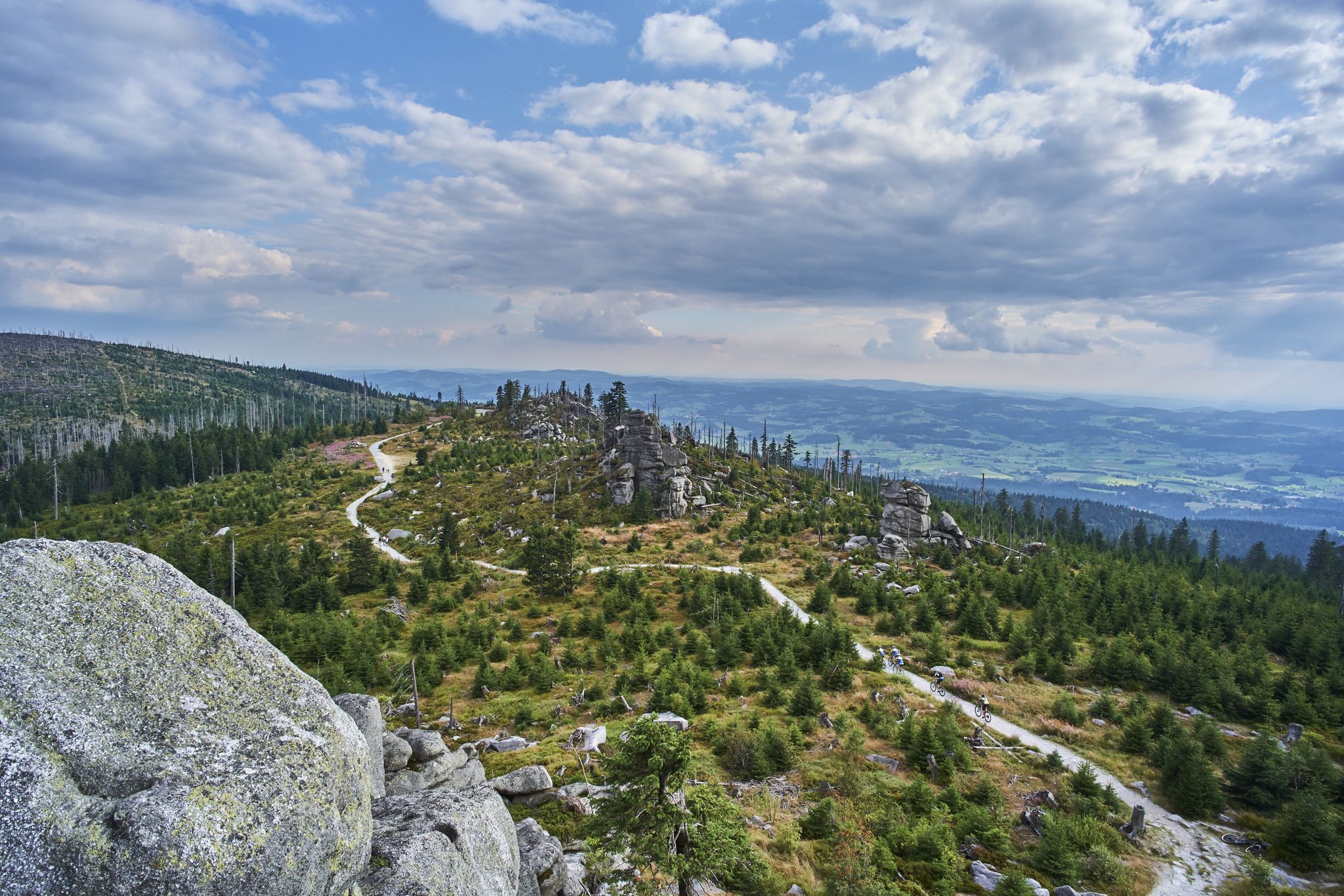
Trans Bayerwald – A mountain bike adventure through Bavaria's finest nature

The Goldsteig – 38 stages between Upper Palatinate and Passau
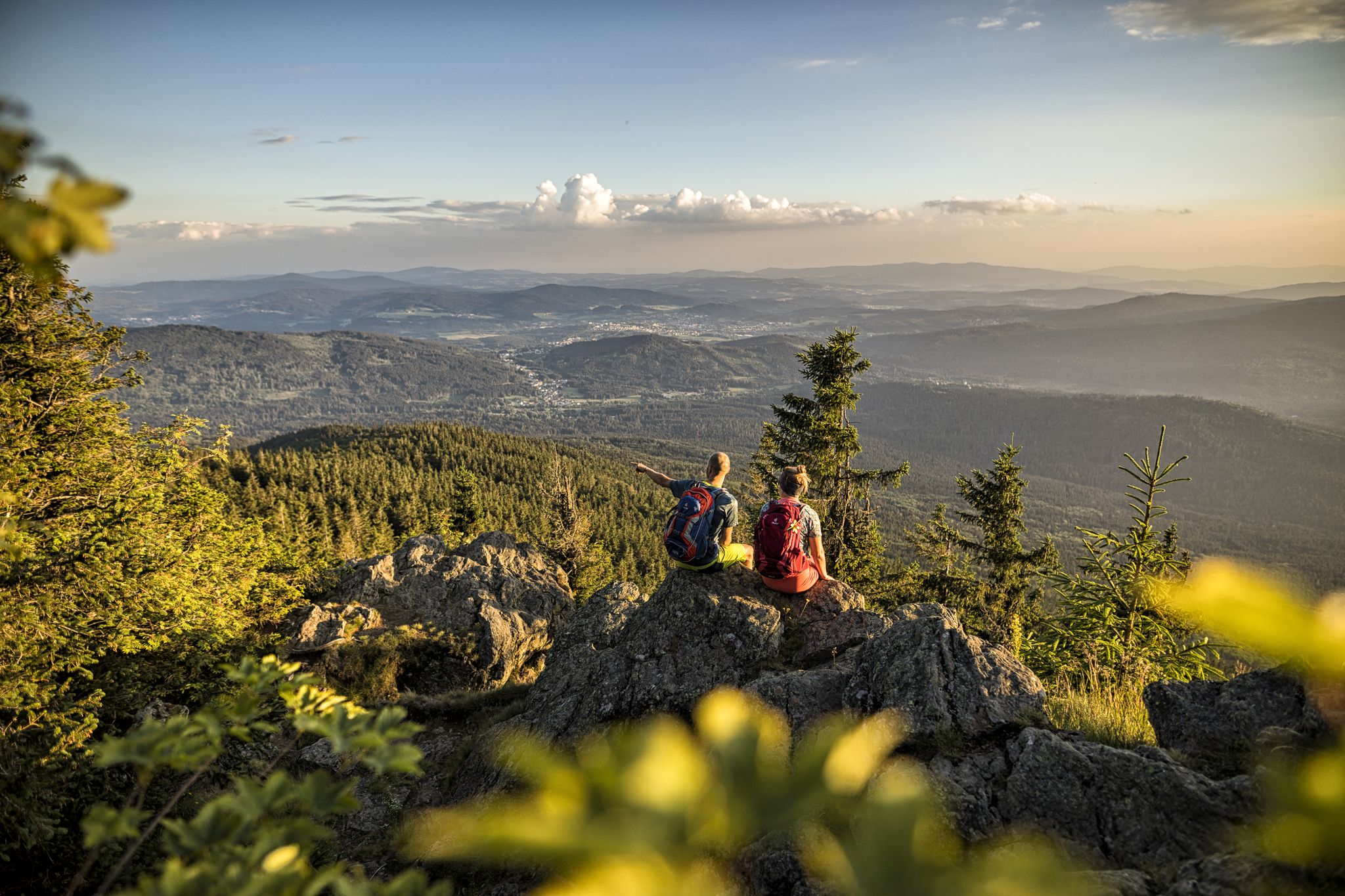
Hiking tips for the Bavarian Forest
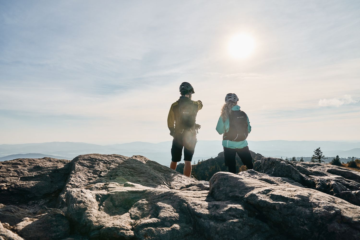
Trans Bayerwald Kurztour: Hüttentour, Romantik und wilde Natur
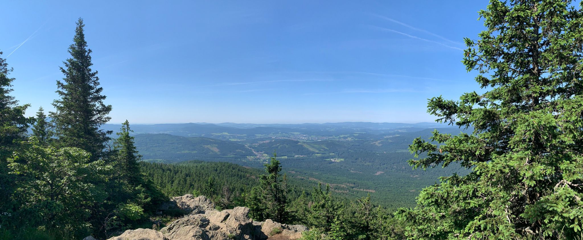
Classic Dahoam in the Bavarian Forest

Triathlon around Germany
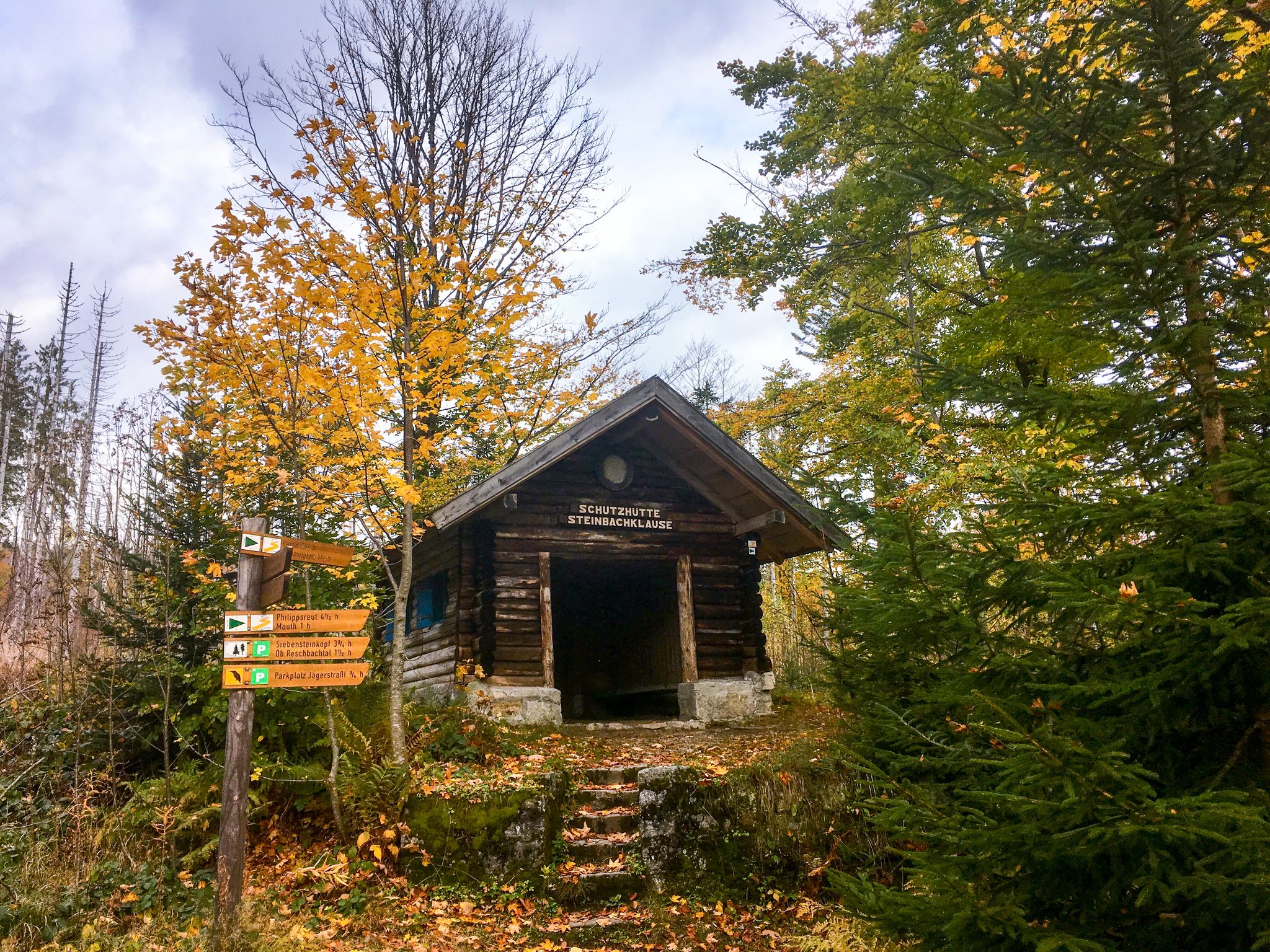
Discover the wild nature in the Bavarian Forest National Park on leisurely hikes
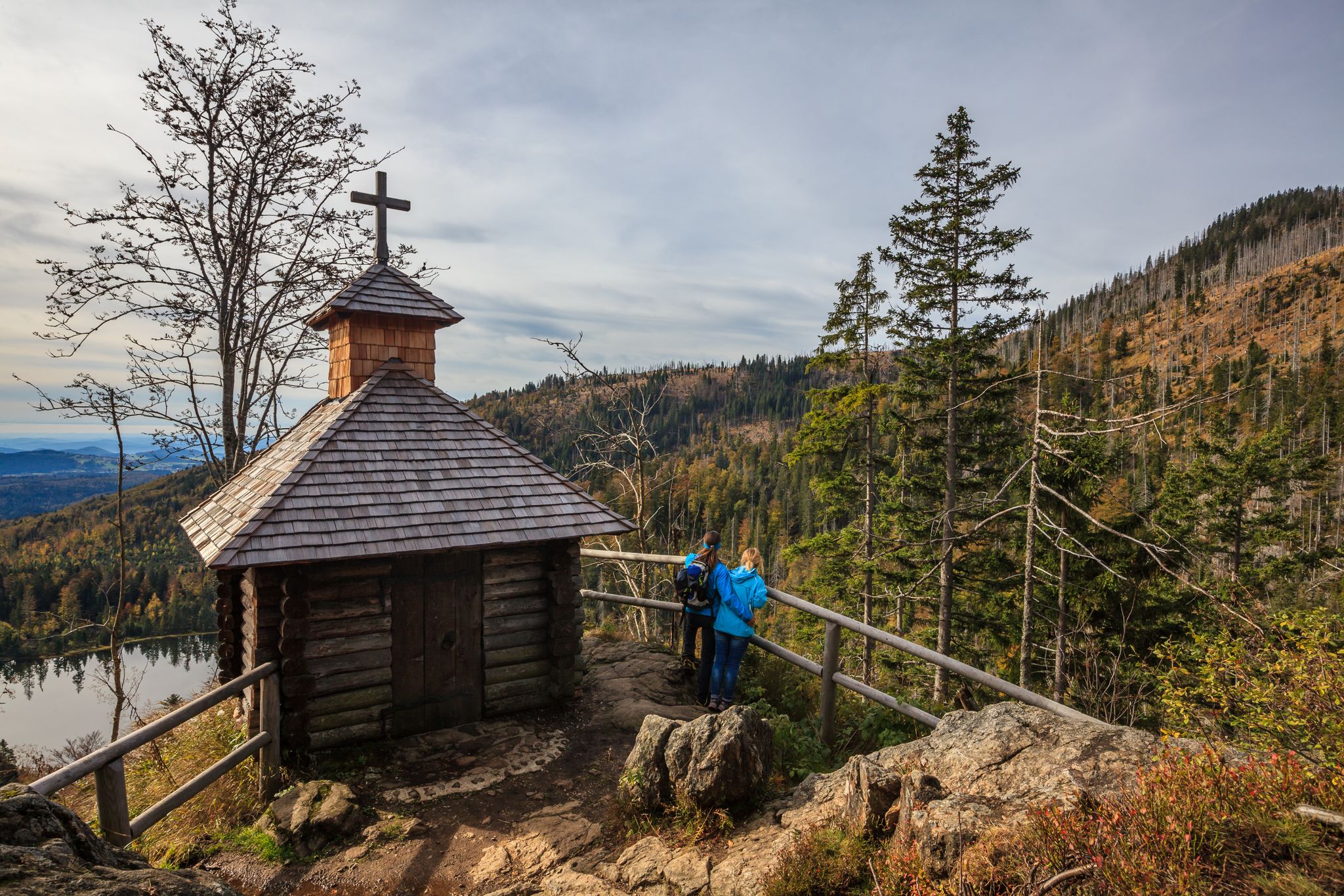
Lovely hikes in the Bavarian Forest National Park
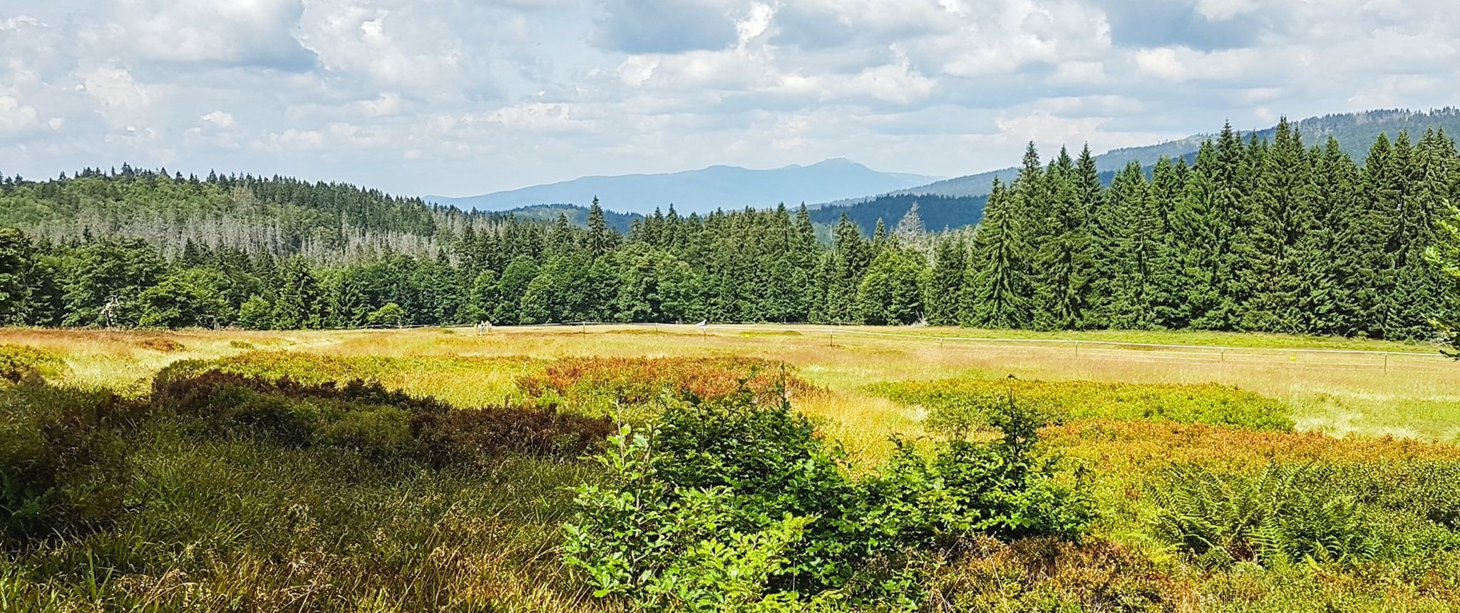
Let nature be nature – hiking in the Bavarian Forest
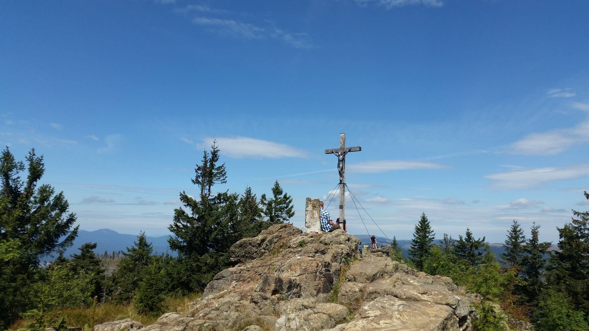
Eight thousand meter high mountains in the Bavarian Forest
Other adventures in Kerngebiet Im Nationalpark Bayerischer Wald


Tips from the Community

The path around the waterfall is steep and with large stones in the way. But everything is doable if you have a secure footing. In rain, you should be careful or skip the detour. The path is beautiful though, just like the waterfall and the whole stream. Attention, you also have to cross it a few times, so you might get wet feet.
0
0

beautiful, strenuous staircase to the Lusen summit
1
0
A highlight in every season
0
0
It's always lovely here.
0
0
very popular photo point
0
0

Great tour, strenuous, exciting, and full of adventure. Good footwear, a bit of fitness, and surefootedness are required.
1
0
Frequently Asked Questions
How many mountaineering routes are available in Kerngebiet Im Nationalpark Bayerischer Wald?
There are over 60 mountaineering routes in Kerngebiet Im Nationalpark Bayerischer Wald. These trails range from moderate ascents to challenging mountain routes, offering diverse experiences for different skill levels.
What kind of terrain can I expect on mountaineering routes in this region?
Mountaineering routes in Kerngebiet Im Nationalpark Bayerischer Wald feature wild, untamed landscapes. You'll encounter expansive ancient forests, crystal-clear mountain streams, and distinctive granite domes. The terrain often involves significant elevation gains and can be varied, including rocky sections, requiring good footwear and surefootedness.
Are there any easy mountaineering routes suitable for beginners?
While many routes involve significant elevation and varied terrain, there is at least one easy mountaineering route available. For those new to mountaineering, it's advisable to choose trails with lower difficulty ratings and ensure you have appropriate gear and fitness.
Which challenging mountaineering routes offer significant elevation gain?
For a challenging experience with notable elevation gain, consider the Kleiner Falkenstein summit – Höllbachgespreng Waterfall loop from Zwieslerwaldhaus. This difficult 8.1-mile (13.0 km) path includes a spectacular climb over the impressive Höllbachgspreng and rewards with views towards Großer Arber.
Are there any circular mountaineering routes in Kerngebiet Im Nationalpark Bayerischer Wald?
Yes, many mountaineering routes in the region are designed as loops. For example, the popular Rachel Summit (Rachel Peak) – Waldschmidt Hut loop from Gfäll is a moderate 6.8-mile (10.9 km) circular trail leading to the summit of Großer Rachel. Another option is the Glass Ark in the Bavarian Forest – Lusen Summit loop from Lusen, which takes you through ancient forest to the granite dome of Lusen.
What natural features or landmarks can I see along the mountaineering routes?
The region is rich in natural beauty and landmarks. You can explore the distinctive granite dome of Lusen, or witness the impressive Höllbachgspreng Waterfall. The routes also offer views of various lakes, such as Lake Rachel, and historical structures like the Höllbach Weir. Many trails lead to summits like Großer Rachel, offering panoramic vistas.
Are there any huts or shelters along the mountaineering trails for rest stops?
Yes, there are several huts and shelters available. For instance, the Waldschmidthaus (1,360 m) is a notable hut, and you can also find the Lusen Shelter and Racheldienst Hut. These provide opportunities for rest and refreshment during your mountaineering adventures.
What do other mountaineers enjoy the most about mountaineering in Kerngebiet Im Nationalpark Bayerischer Wald?
The area is highly rated by the komoot community, with an average score of 4.8 stars from over 120 reviews. Mountaineers often praise the wild, untamed landscapes, the immersive wilderness experience, and the diverse natural features like ancient forests and granite domes. The challenging yet rewarding ascents to peaks like Großer Rachel and Lusen are also frequently highlighted.
Is it possible to find family-friendly mountaineering routes in the National Park?
While many routes are challenging, the National Park offers a network of trails for different ability levels. For families, it's best to look for routes explicitly marked as easy or moderate, focusing on shorter distances and less elevation gain. Always check the route details to ensure it matches your family's fitness and experience.
What is the best time of year for mountaineering in Kerngebiet Im Nationalpark Bayerischer Wald?
The warmer months, typically from late spring to early autumn, are generally the best time for mountaineering. During this period, trails are usually clear of snow, and the weather is more stable. However, the park also offers opportunities for snowshoeing and cross-country skiing in winter, providing a different kind of outdoor experience.
Are dogs allowed on the mountaineering routes in Kerngebiet Im Nationalpark Bayerischer Wald?
The National Park generally welcomes dogs, but it's crucial to keep them on a leash to protect wildlife and ensure the safety of other hikers. Always check specific trail regulations, as some sensitive areas might have restrictions. Be prepared to carry water for your dog, especially on longer routes.
Are there any routes that pass by waterfalls?
Yes, some routes feature impressive waterfalls. The Kleiner Falkenstein summit – Höllbachgespreng Waterfall loop from Zwieslerwaldhaus is a prime example, offering a spectacular climb over the Höllbachgspreng. The Rißloch Waterfalls, mentioned in the region's research, are also a significant natural attraction, though not directly part of the listed routes here.
Where can I find parking for mountaineering routes?
Many trailheads within Kerngebiet Im Nationalpark Bayerischer Wald offer designated parking areas. For specific routes, such as those starting from Gfäll or Zwieslerwaldhaus, you will typically find parking facilities nearby. It's always recommended to arrive early, especially during peak season, as spaces can fill up quickly.
Most popular routes in Kerngebiet Im Nationalpark Bayerischer Wald
Most popular attractions in Kerngebiet Im Nationalpark Bayerischer Wald

Get inspired with the komoot mobile app


Explore more
Browse the best Mountain Hikes & Routes in other regions.
