Ehem. Standortübungsplatz Oberhinkofen
Ehem. Standortübungsplatz Oberhinkofen
The best MTB trails in Ehem. Standortübungsplatz Oberhinkofen
4.6
(2921)
12,501
riders
445
rides
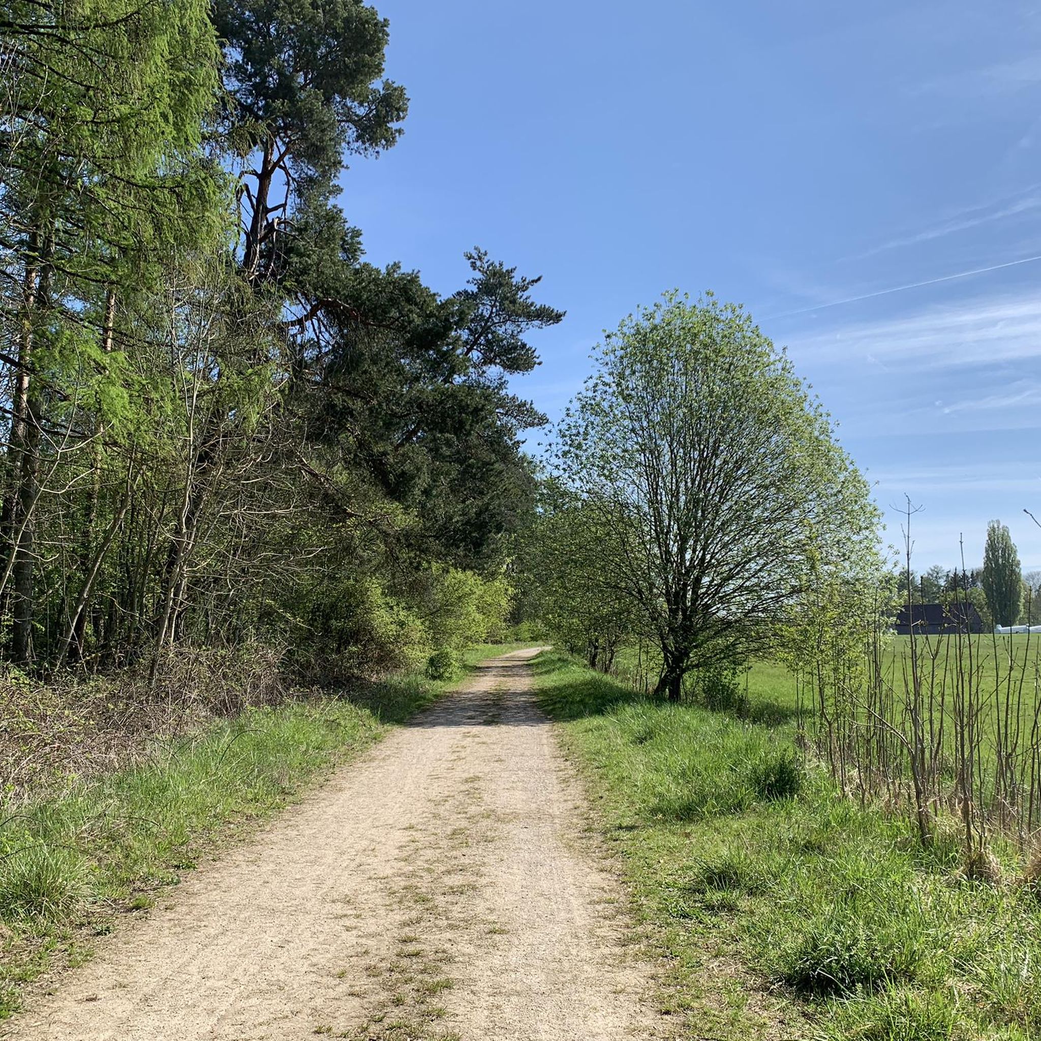
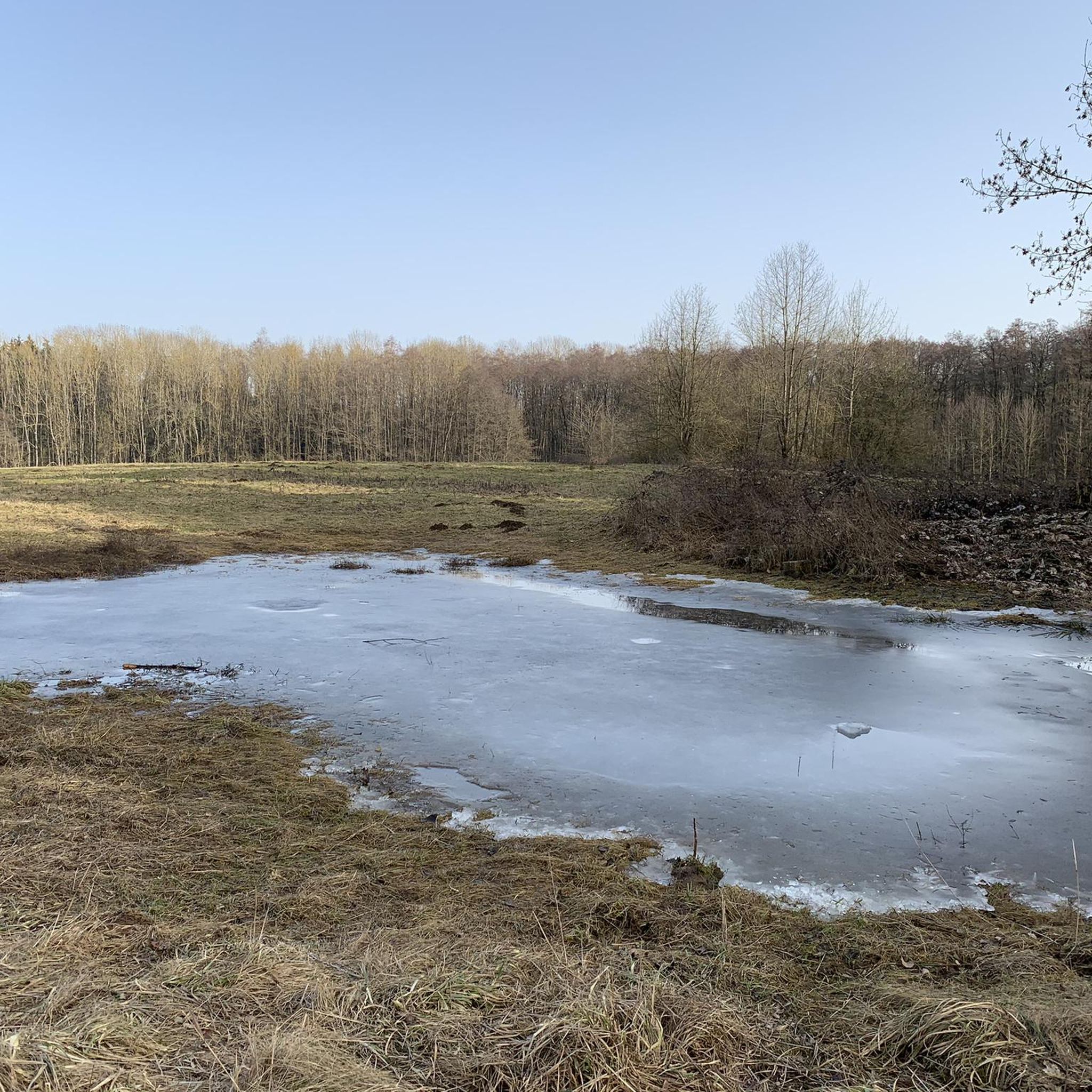
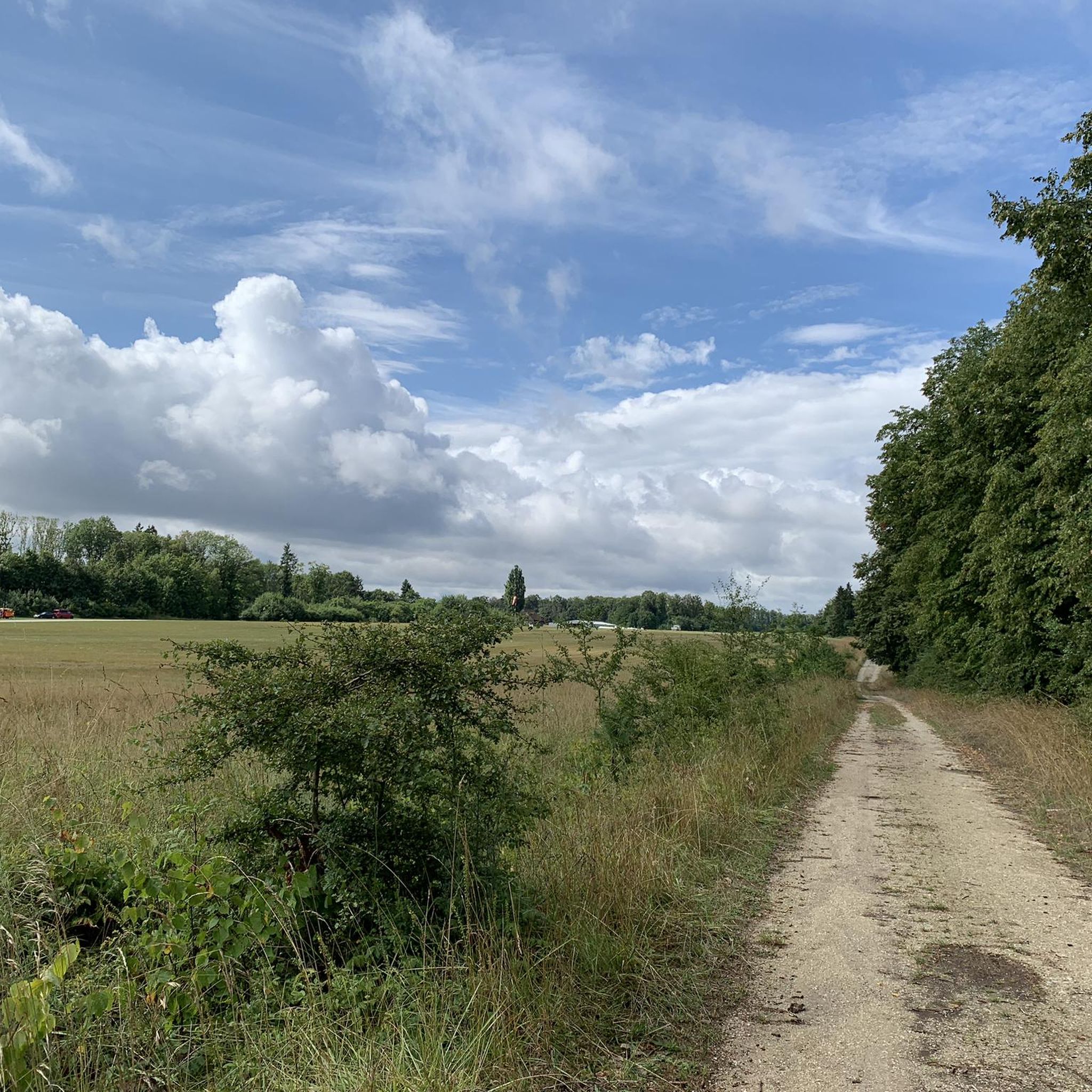
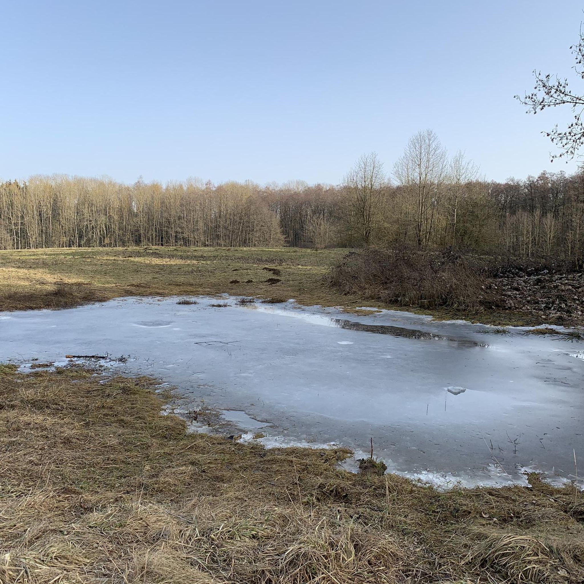
Mountain bike trails in Ehem. Standortübungsplatz Oberhinkofen traverse a diverse landscape, characterized by moors, marshes, meadows, and forests. This former military training ground, now a special protection area, offers varied terrain suitable for cycling. The area features semi-open landscapes, heathlands, dry sandy grasslands, and a network of well-developed paths. These features provide a mix of environments for mountain biking, from open areas to wooded sections.
Best mountain bike trails in Ehem. Standortübungsplatz Oberhinkofen
- The most popular mountain bike trail is…
Last updated: October 8, 2026
5.0
(1)
13
riders
14.1km
00:57
130m
130m
Moderate mountain bike ride. Great for any fitness level. Advanced riding skills necessary.
4
riders
23.4km
01:50
280m
280m
Easy mountain bike ride. Great for any fitness level. Suitable for all skill levels.

4.5
(2)
5
riders
18.9km
01:21
210m
210m
Moderate mountain bike ride. Great for any fitness level. Advanced riding skills necessary.
4
riders
20.3km
01:39
300m
300m
Easy mountain bike ride. Great for any fitness level. Suitable for all skill levels.
3
riders
Moderate mountain bike ride. Great for any fitness level. Advanced riding skills necessary.
Get access to more routes and recommendations from other explorers.
Already have an account?
Our route recommendations are based on thousands of hikes, rides, and runs completed by other people on komoot.
Start today with a free account
Your next adventure awaits.
Popular around Ehem. Standortübungsplatz Oberhinkofen

Tips from the Community


don't drive like that anymore
0
0


Gebelkofen Castle The moated castle was built as a moated castle by the Lords of Gebelkofen. The castle was first mentioned in 1200. At the end of the 14th century it became the property of the Auer von Brennberg. In 1553 it was purchased by Kaspar Lerchenfelder von Straubing and has been privately owned by the Lerchenfelder family ever since. The castle was damaged in the Thirty Years' War, destroyed in the 17th century and rebuilt in 1750. In 1934 a roof fire damaged the castle. In the 1990s the castle was extensively renovated and now serves as a residential building. The moated castle is a four-winged pond house with three floors, hipped roofs and a rectangular courtyard. The medieval castle chapel of St. Barbara on the ground floor of the north wing dates from 1750. The entrance, consisting of two gate pillars with a gable roof, dates from the 18th century. Source: www.wikipedia.de
2
0
Frequently Asked Questions
How many mountain bike trails are available in Ehem. Standortübungsplatz Oberhinkofen?
There are over 460 mountain bike trails in Ehem. Standortübungsplatz Oberhinkofen, offering a wide range of options for different skill levels and preferences.
What kind of terrain can I expect when mountain biking in Ehem. Standortübungsplatz Oberhinkofen?
The area, a former military training ground, features diverse terrain including moors, marshes, meadows, and forests. You'll encounter a mix of well-developed paths and semi-open landscapes, providing varied environments for mountain biking.
Are there trails suitable for beginners or families?
Yes, Ehem. Standortübungsplatz Oberhinkofen offers a good selection of easier routes. There are over 100 easy trails, many of which are suitable for beginners or family outings. For example, the Gebelkofen Moated Castle – Narrow forest descent loop from Oberhinkofen is rated as easy and takes you through forested areas.
What are some notable landmarks or natural features to see along the trails?
You can discover several interesting points of interest. The Bildeiche near Höhenhof, an old monumental oak tree, is a significant natural monument. Some routes also offer views of the Oberhinkofen Glider Airfield. The area itself is a special protection area, rich in ecological diversity.
Are there any loop trails for mountain biking?
Yes, many of the mountain bike routes in Ehem. Standortübungsplatz Oberhinkofen are designed as loops, allowing you to start and finish at the same point. Examples include the Bildeiche near Höhenhof – Oberhinkhofen Glider Airfield loop from Piesenkofen and the Autobahn Underpass Tunnel – Seedorf Horse Farm loop from Oberhinkofen.
What do other mountain bikers say about the trails in Ehem. Standortübungsplatz Oberhinkofen?
The trails are highly regarded by the komoot community, with an average rating of 4.6 stars from over 2,600 reviews. Mountain bikers often praise the diverse mix of moors, meadows, and forests, as well as the well-developed path networks that cater to various ability levels.
Is Ehem. Standortübungsplatz Oberhinkofen suitable for advanced mountain bikers?
While the area is known for its varied terrain, it primarily offers moderate and easy trails. There are 57 routes classified as difficult, providing options for more experienced riders seeking a challenge. However, specific technical features like extensive singletracks or rock gardens are not widely detailed, suggesting a focus on natural, varied paths.
Can I bring my dog on the mountain bike trails?
As a designated special protection area and national natural heritage site, it's important to respect local regulations regarding dogs. Generally, dogs are permitted on trails but should be kept on a leash to protect wildlife and other visitors. Always check for specific signage or local rules at trailheads.
Are there specific parking areas for mountain bikers?
While specific parking locations are not detailed, as a popular outdoor destination, there are likely designated parking areas near common access points or trailheads around Ehem. Standortübungsplatz Oberhinkofen. It's advisable to check local maps or community information for the most convenient parking options before your visit.
What is the best time of year to go mountain biking here?
The diverse landscapes of Ehem. Standortübungsplatz Oberhinkofen are enjoyable throughout much of the year. Spring and autumn offer pleasant temperatures and vibrant scenery. Summer can be great, but be prepared for warmer weather. Winter riding is possible, but trail conditions may vary with snow or ice, so always check local forecasts.
Are there any cafes or places to eat near the trails?
The region around Ehem. Standortübungsplatz Oberhinkofen is part of a populated area, so you can expect to find cafes, pubs, and other eateries in nearby towns and villages. Specific establishments are not listed, but local amenities will be available for refreshments after your ride.
Most popular routes in Ehem. Standortübungsplatz Oberhinkofen
Most popular attractions in Ehem. Standortübungsplatz Oberhinkofen

Get inspired with the komoot mobile app


Explore more
Browse the best MTB trails in other regions.
