The best walks and hikes in Brattefjell - Vindeggen Landskapsvernområde
4.5
(877)
5,054
hikers
73
hikes
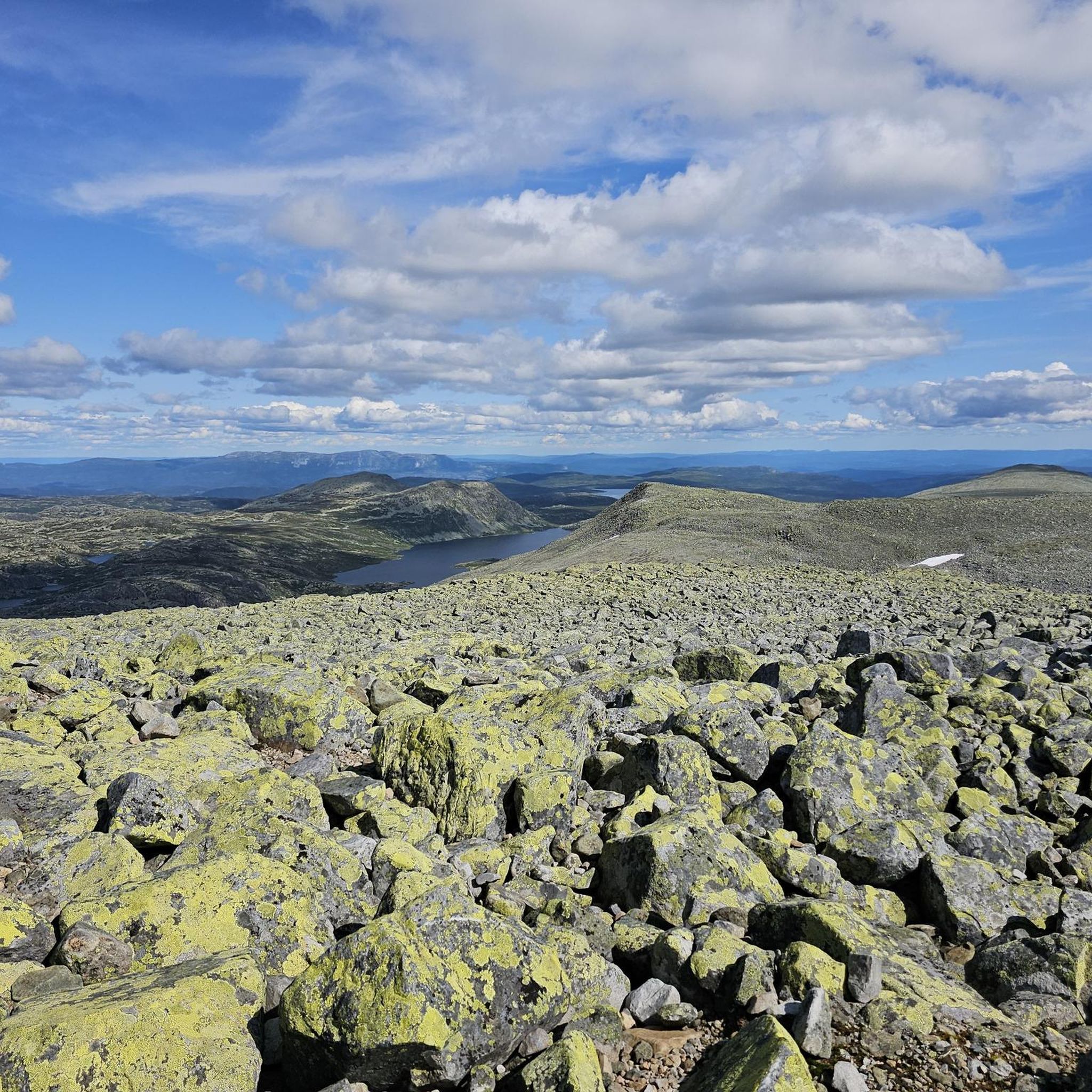
Hiking in Brattefjell - Vindeggen Landskapsvernområde, located in Telemark, Norway, offers a varied mountainous landscape covering nearly 382 square kilometers. The region is characterized by prominent peaks like Brattefjell (1,540 meters) and Vindeggen (1,516 meters), with Gaustatoppen (1,883 meters) being the highest. Geological features include the "block sea" on Gaustatoppen, formed by frost heaving. The terrain ranges from marshy areas to more easily traversable paths closer to the summits.
Best hiking trails in Brattefjell - Vindeggen Landskapsvernområde
- The most popular…
Last updated: October 13, 2026
4.8
(244)
1,798
hikers
10.5km
04:50
670m
670m
Hard hike. Good fitness required. Sure-footedness, sturdy shoes and alpine experience required.
4.3
(15)
58
hikers
6.28km
01:56
230m
240m
Easy hike. Great for any fitness level. Easily-accessible paths. Suitable for all skill levels.

4.3
(7)
42
hikers
16.0km
07:24
960m
960m
Hard hike. Very good fitness required. Sure-footedness, sturdy shoes and alpine experience required.
4.5
(2)
22
hikers
8.04km
02:39
120m
120m
Moderate hike. Good fitness required. Mostly accessible paths. Sure-footedness required.
4.6
(9)
56
hikers
Moderate hike. Good fitness required. Easily-accessible paths. Suitable for all skill levels.
Get access to more routes and recommendations from other explorers.
Already have an account?
Our route recommendations are based on thousands of hikes, rides, and runs completed by other people on komoot.
Start today with a free account
Your next adventure awaits.
Tips from the Community

Silkedalsnutane Sør, at 1,177 metres, sits amongst other nearby peaks in the woodlands surrounding Holtar. It is a very popular and accessible destination for hikers and walkers. It provides beautiful panoramic views over the surrounding hills from its summit.
1
0

The parking costs 150 NOK for 24 hours. Ideal for an overnight stay in a motorhome. The shuttle bus to the cable car costs 50 NOK. From here you can access the trailhead to the Hulderhola cave and can find a restaurant right beside the parking.
1
0
This stunning cave overlooks the surrounding area and offers a sheltered vantage point from which to enjoy the view of the landscape, with its incredible lakes nestled among small mountains. The best time to visit is from April to September (when there is no risk of snow).
1
0
Below the vast Lake Heddersvatn, the trail runs along the shores of a smaller body of water, Budeitjønn. From its shores, you can find small spots where you can go for a swim or simply enjoy the peaceful scenery.
0
0

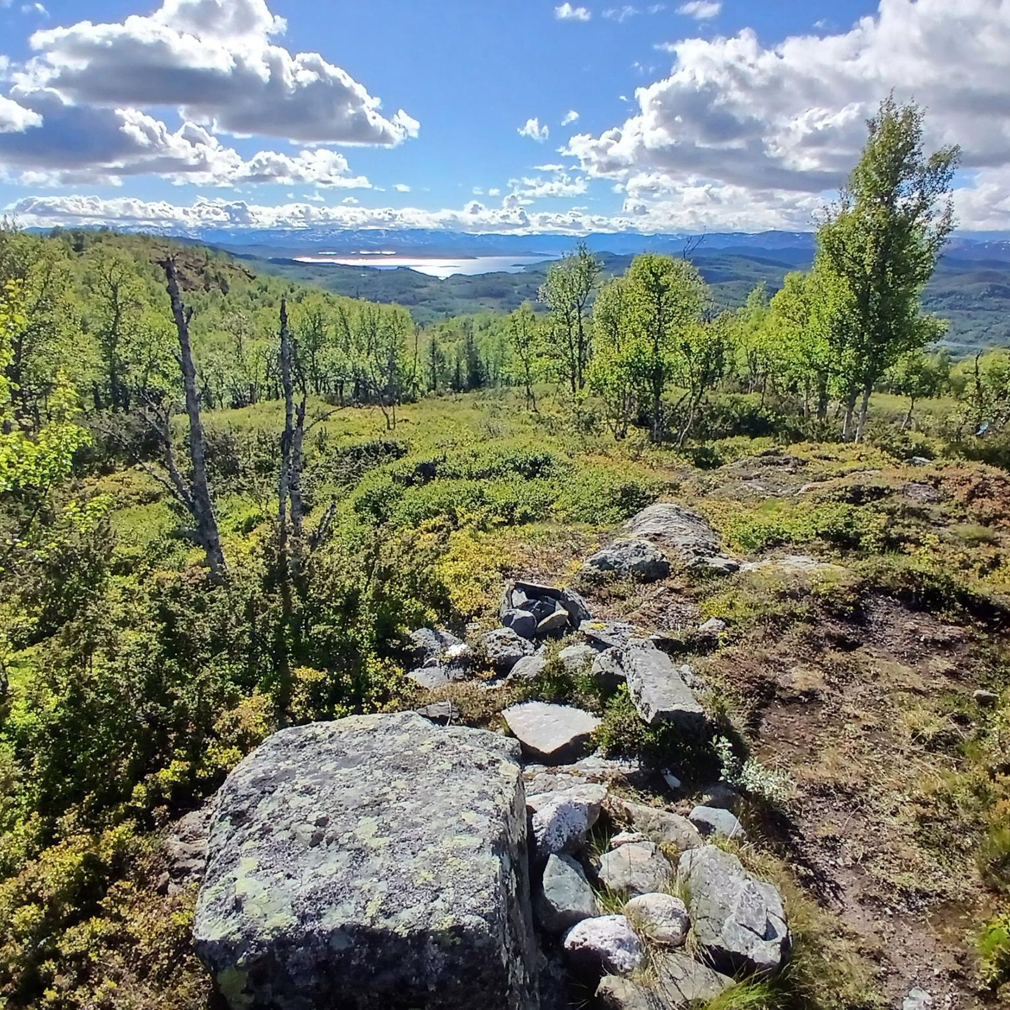
Breathtaking and impressive views of the surrounding mountains and fjords. Simply magnificent!
2
0

Beware. This parking lot will cost you an arm and a leg! We were there at 8:30…. Parking until 12:00 was 300 kroner, and after 12:00 another 300. No middle ground, no way to pay for the actual time you are parked there. Paid 600, but I am absolutely furious. What a dirty rip-off!
2
0

A popular and straightforward route that features a hefty amount of elevation gain. However, two rewards await you at the summit. First, there are the magnificent views of the mountains of the mountains of Telemark, Buskerud, and the Oslomarka. Second, there's the thrilling run back down.
0
0

In summer for running and in winter with the spectacular track. Both are great fun
1
0
Frequently Asked Questions
How many hiking trails are available in Brattefjell - Vindeggen Landskapsvernområde?
There are over 70 hiking routes documented in Brattefjell - Vindeggen Landskapsvernområde, offering a wide range of experiences for all skill levels.
What kind of terrain can I expect when hiking in this region?
The region features dramatic mountainous terrain with varied landscapes. You'll find everything from marshy areas on less marked trails, such as those leading to Brattefjell from Sudbø, to more easily traversable paths closer to the peaks. Unique geological formations like the 'block sea' on Gaustatoppen also add to the diverse experience.
Are there any easy or beginner-friendly hiking routes?
Yes, Brattefjell - Vindeggen Landskapsvernområde offers 27 easy routes suitable for beginners or those looking for a relaxed walk. These trails provide a gentle way to connect with nature without significant challenges.
What are some notable landmarks or viewpoints to see during a hike?
Hikers can enjoy several prominent landmarks and viewpoints. The Gaustatoppen summit viewpoint offers magnificent panoramic views. You can also visit the Bossnuten Summit, which is a popular, shorter but steep climb. For a unique experience, the Gaustatoppen Summit Cabin provides a place to rest and enjoy waffles.
Are there any circular walks in Brattefjell - Vindeggen Landskapsvernområde?
Yes, there are several circular routes available. For example, the Stavsro Parking Area – Gaustatoppen Information Board loop from Stavsro is a moderate 5.6 km trail that takes about 2 hours 34 minutes to complete, leading through the lower slopes near Gaustatoppen.
Is it possible to hike to Gaustatoppen without descending on foot?
Yes, for those who prefer not to descend on foot from Gaustatoppen, the historic Gaustabanen cable car runs inside the mountain. It was originally built during the Cold War and is now open to the public, connecting the summit to the valley.
What kind of wildlife might I encounter?
The area is home to rich bird and animal life, including a wild reindeer population. Visitors are advised to be mindful of this wildlife, especially the vulnerable wild reindeer, particularly during spring.
Are there any routes that feature waterfalls?
Yes, you can explore routes that offer views of waterfalls. The Rjukanfossen Parking Lot – View of Rjukanfossen loop from Rjukan fjellstue is a moderate 9.0 km path that provides excellent views of the Rjukanfossen waterfall and its surrounding natural areas.
What do other hikers say about the trails in Brattefjell - Vindeggen Landskapsvernområde?
The area is highly rated by the komoot community, with an average score of 4.5 stars from over 590 reviews. Hikers often praise the dramatic mountainous terrain, unique geological formations, and the diverse range of trails suitable for different ability levels.
Are there any challenging hikes for experienced trekkers?
Absolutely. For experienced trekkers, there are 12 difficult routes. A prime example is the Gaustatoppen (1883 m) - the peak of Telemark, a 10.5 km trail that takes approximately 4 hours 50 minutes to complete, ascending to the highest peak in Telemark with expansive views.
What is the best time of year to go hiking in this region?
The best time to visit for hiking is typically during the warmer months, from late spring through early autumn, when trails are clear of snow and weather conditions are more stable. However, be mindful of wild reindeer, especially in spring. Winter offers opportunities for snow-based activities, but requires appropriate gear and experience.
Are there options for longer, full-day treks?
Yes, the region offers challenging full-day treks for those seeking a more extensive adventure. The Gaustatoppen from Selstali Seter Trail is a difficult 16 km route that typically takes over 7 hours to complete, providing a demanding and rewarding experience.
Most popular routes in Brattefjell - Vindeggen Landskapsvernområde
Most popular attractions in Brattefjell - Vindeggen Landskapsvernområde

Get inspired with the komoot mobile app


Explore more
Browse the best Hikes in other regions.
