The best walks and hikes in Frafjordheiane Landskapsvernområde
4.5
(2382)
13,215
hikers
98
hikes
Hiking in Frafjordheiane Landskapsvernområde offers dramatic and varied landscapes, characterized by a high mountain plateau, deeply incised valleys, and fjord systems. Glacial activity has sculpted the terrain, leaving behind terraces, moraines, and massive boulders. The area features powerful mountains, towering waterfalls, and numerous lakes, providing diverse environments for outdoor exploration. Hikers can experience transitions from steep fjord and valley sides to glaciated high mountains reaching up to 1100 meters above sea level.
Best hiking trails in Frafjordheiane Landskapsvernområde
- The most popular hiking route is Kjeragbolten Roundtrip, a 6.0 miles (9.7 km) trail that takes 4 hours 42 minutes to complete. This route leads to the world-renowned boulder wedged between two cliffs, offering a thrilling experience.
- Another top favourite among local hikers is Månafossen, a difficult 1.9 miles (3.0 km) path. This trail provides access to Rogaland's highest waterfall, a strenuous but beautiful route through varied terrain.
- Local hikers also love the Flørli - Skåpet Trail, a 6.0 miles (9.6 km) trail leading through mountainous terrain with panoramic fjord views, often completed in about 4 hours 17 minutes.
- Hiking in Frafjordheiane Landskapsvernområde is defined by high mountain plateaus, deeply incised valleys, and dramatic fjord systems. The network offers options for various ability levels, from easy paths to challenging routes requiring good fitness.
- The routes in Frafjordheiane Landskapsvernområde are highly rated by the komoot community with an average score of 4.5 stars from over 2000 reviews. More than 12000 hikers have used komoot to explore Frafjordheiane Landskapsvernområde's varied terrain.
Last updated: October 12, 2026
4.8
(264)
1,054
hikers
9.68km
04:43
610m
610m
Hard hike. Good fitness required. Sure-footedness, sturdy shoes and alpine experience required.
4.8
(26)
207
hikers
3.00km
01:29
220m
220m
Hard hike. Great for any fitness level. Sure-footedness, sturdy shoes and alpine experience required.

3.7
(3)
38
hikers
9.61km
04:17
870m
280m
Hike the challenging 6.0-mile Flørli to Skåpet cabin trail, gaining 2855 feet with panoramic fjord views and unique DNT cabins.
6
hikers
20.2km
07:47
850m
850m
Hard hike. Very good fitness required. Sure-footedness, sturdy shoes and alpine experience required.
4.7
(3)
20
hikers
7.93km
02:59
320m
80m
Moderate hike. Good fitness required. Mostly accessible paths. Sure-footedness required.
Get access to more routes and recommendations from other explorers.
Already have an account?
Our route recommendations are based on thousands of hikes, rides, and runs completed by other people on komoot.
Start today with a free account
Your next adventure awaits.

Tips from the Community

Thanks to a hollow formed by the terrain, you can see part of the Frafjordheiane fjord here. The view is superb, with the river plunging down before your eyes in the foreground and the mountains in the background framing the landscape.
0
0
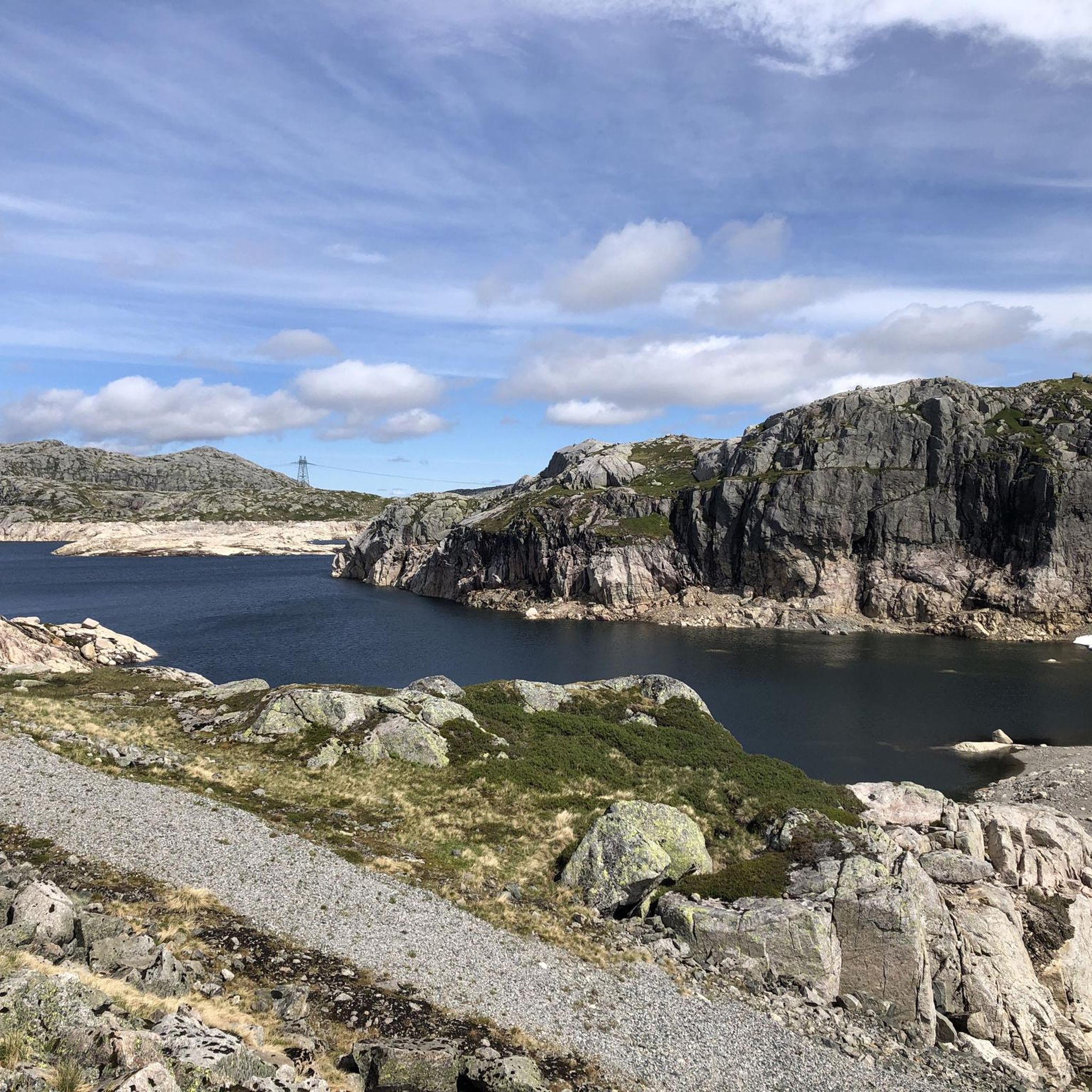
In the Frafjordheiane Landscape Conservation Area, you are surrounded by lakes, ponds, and rivers everywhere you look. The view here is superb, but be careful as the ground can be very wet or even muddy depending on the conditions.
0
0
DNT Skåpet in Ryfylke is a self-service lodge veru design. Each cabin has a large bay window overlooking the countryside and is positioned so that you cannot see the others. A superb place to spend the night before a beautiful hike.
0
0

strenuous route but very beautiful waterfall
0
0
strenuous hike with great views of the waterfall
0
0

A very steep ascent and descent over sometimes slippery rocks, partly with the help of metal chains. After about 500 meters, you'll be rewarded with a view of the waterfall.
0
0

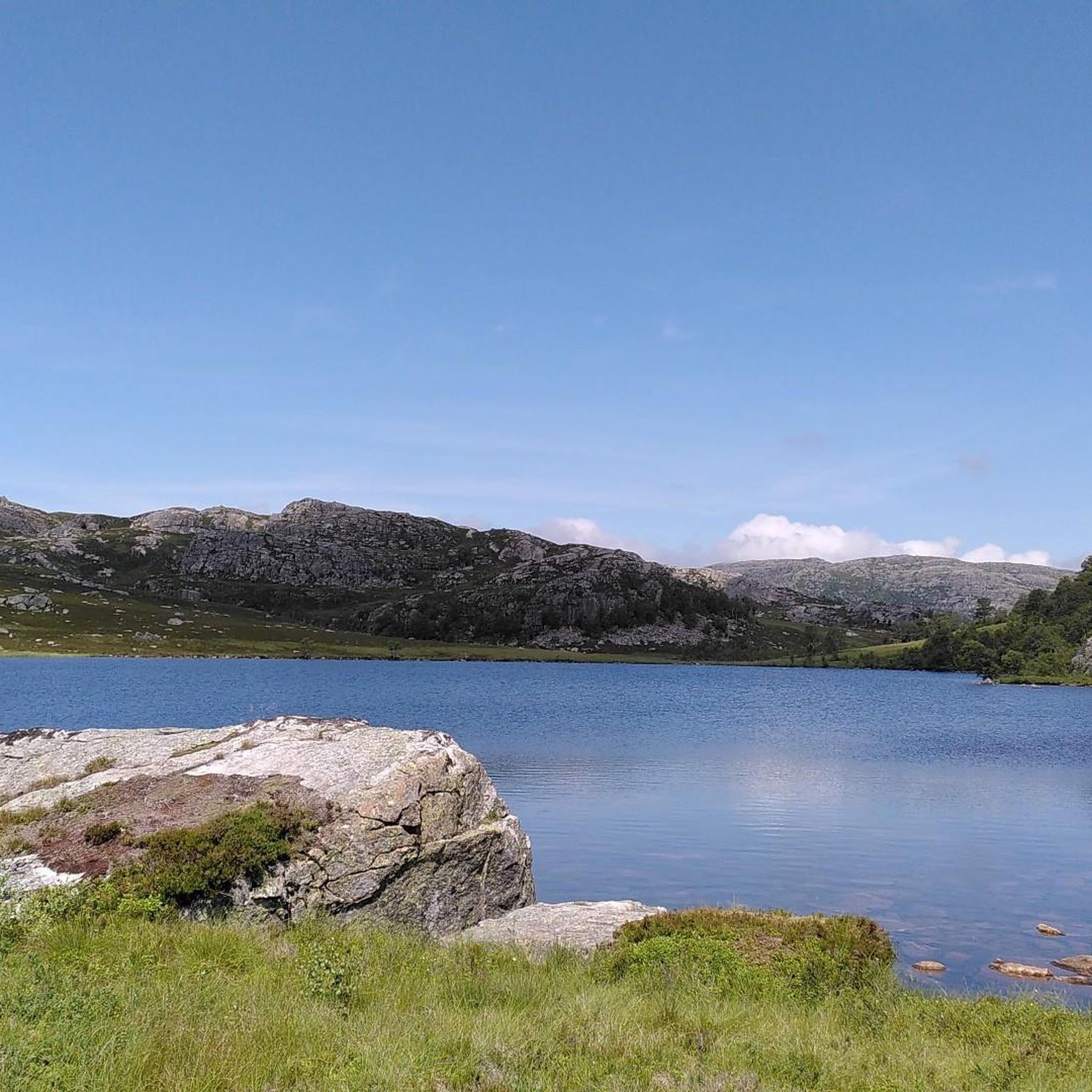
This nameless lake makes for a picture-postcard view! A great spot for a break or to pitch your tent for the night.
0
0
Månafossen is a spectacular waterfall. Here, you are standing on top of the cascading river.
0
0
Frequently Asked Questions
How many hiking trails are available in Frafjordheiane Landskapsvernområde?
Frafjordheiane Landskapsvernområde offers a wide selection of hiking trails, with over 90 routes available. These trails cater to various preferences, ranging from easy strolls to challenging mountain expeditions.
What kind of terrain can I expect when hiking in Frafjordheiane Landskapsvernområde?
The terrain in Frafjordheiane Landskapsvernområde is incredibly diverse, shaped by glacial activity. You'll encounter a high mountain plateau, deeply incised valleys, and dramatic fjord systems. Hikers can experience transitions from steep fjord and valley sides, through low moorlands, up to smooth, glaciated high mountains reaching up to 1100 meters above sea level. Expect varied landscapes including terraces, moraines, scree, and massive boulders.
Are there hiking trails suitable for beginners or families in Frafjordheiane Landskapsvernområde?
Yes, Frafjordheiane Landskapsvernområde offers trails for all skill levels. There are 22 easy routes perfect for beginners or families looking for a less strenuous experience. These paths often explore the lower-lying cultural landscapes with open pastures and traditional buildings.
Are there any notable waterfalls in Frafjordheiane Landskapsvernområde?
Absolutely. One of the most prominent natural attractions is Månafossen Waterfall, Rogaland's highest waterfall. You can reach it via the Månafossen trail, which is a challenging but rewarding route.
What are some unique natural landmarks to see along the hiking trails?
Beyond Månafossen, the region is home to the world-renowned Kjeragbolten, a massive boulder wedged between two cliffs. This iconic landmark can be reached via the Kjeragbolten Roundtrip. Other notable features include the dramatic formations of Fossajuvet and Nordre Dunsen in Røssdalen, and the unique Moonscape.
Can I find multi-day hiking opportunities or places to stay overnight?
Yes, the area supports multi-day hiking with options for overnight stays. The Flørli - Skåpet Trail, for example, offers access to DNT (Norwegian Trekking Association) cabins like DNT Skåpet, providing superb places to spend the night. Another option is the To Sandvatn DNT hut trail, leading to another self-service lodge.
What do other hikers enjoy most about hiking in Frafjordheiane Landskapsvernområde?
The area is highly rated by the komoot community, with an average score of 4.5 stars from over 2000 reviews. Hikers frequently praise the breathtaking vistas of fjords and mountains, the diverse challenges offered by the trails, and the unique geological formations. Many also appreciate the well-preserved natural and cultural history reflected in the landscapes.
Are there any long-distance or challenging routes for experienced hikers?
Experienced hikers will find plenty of challenging routes. The Kjerag-Langavatnet trail is a demanding option, covering over 20 km and featuring significant elevation changes. Overall, there are 29 difficult routes in the region, many requiring good fitness and sturdy shoes.
Is Frafjordheiane Landskapsvernområde suitable for dog-friendly hikes?
While specific dog-friendly trails are not explicitly listed, many trails in Norway's protected areas generally allow dogs on a leash, especially during certain seasons to protect wildlife. It's always recommended to check local regulations and signage at trailheads, particularly concerning grazing animals and nesting birds, to ensure a safe and respectful experience for all.
What is the best time of year to go hiking in Frafjordheiane Landskapsvernområde?
The best time to visit Frafjordheiane Landskapsvernområde for hiking is typically during the late spring, summer, and early autumn months (June to September). During this period, the snow has usually melted from higher elevations, and the weather is generally milder, offering better conditions for exploring the diverse landscapes. Be aware that conditions can change rapidly in the mountains, so always be prepared for varying weather.
Are there any circular routes available in the area?
Yes, there are several circular routes to enjoy. The Kjeragbolten Roundtrip is a popular example of a circular hike that brings you back to your starting point after experiencing one of the region's most iconic landmarks.
Most popular routes in Frafjordheiane Landskapsvernområde
Most popular attractions in Frafjordheiane Landskapsvernområde

Get inspired with the komoot mobile app


Explore more
Browse the best Hikes in other regions.
