The best road cycling routes in Kamay Botany Bay National Park
3.8
(21)
871
riders
14
rides
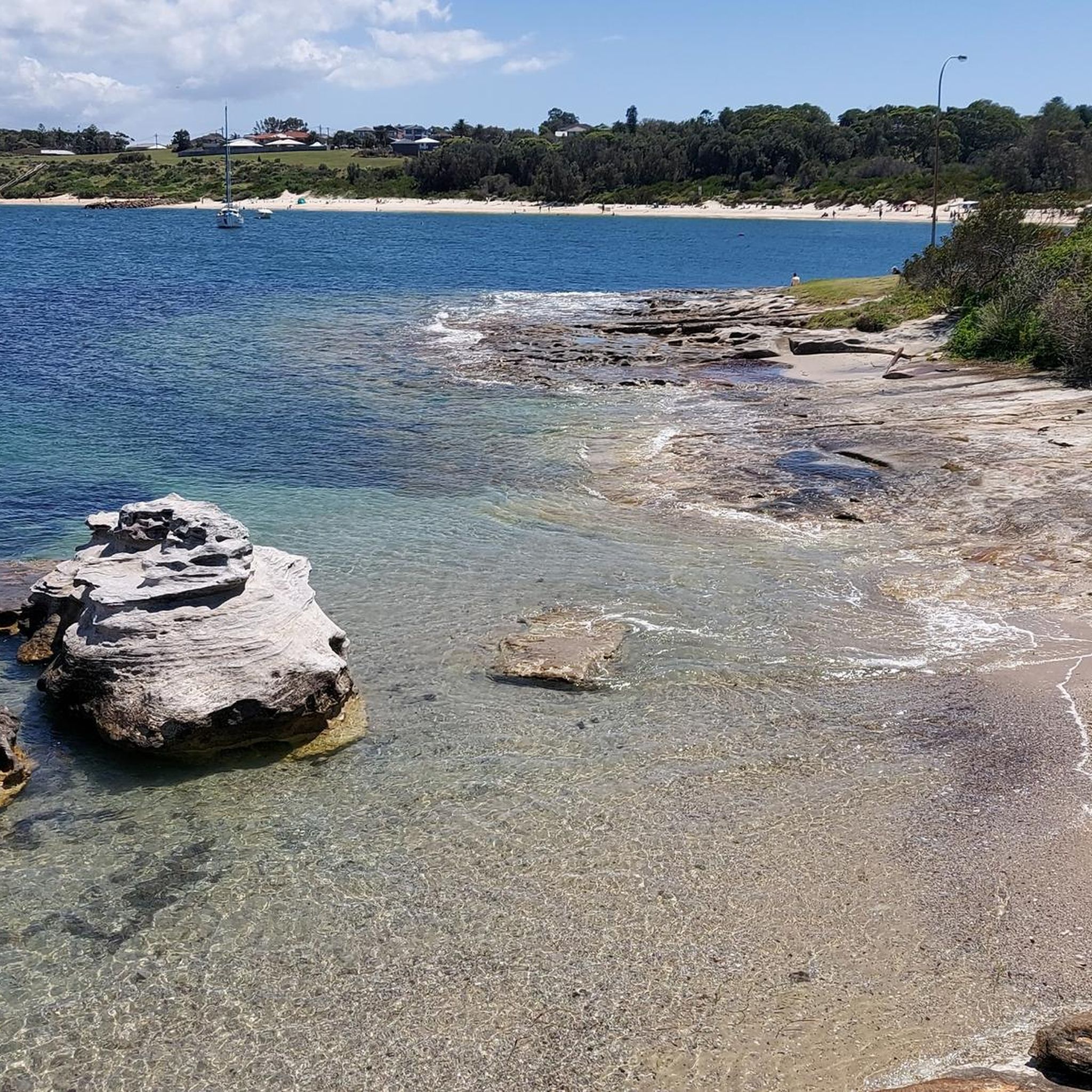
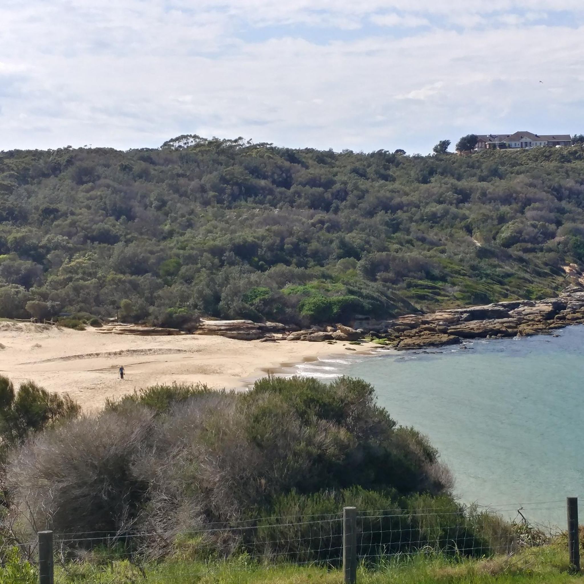
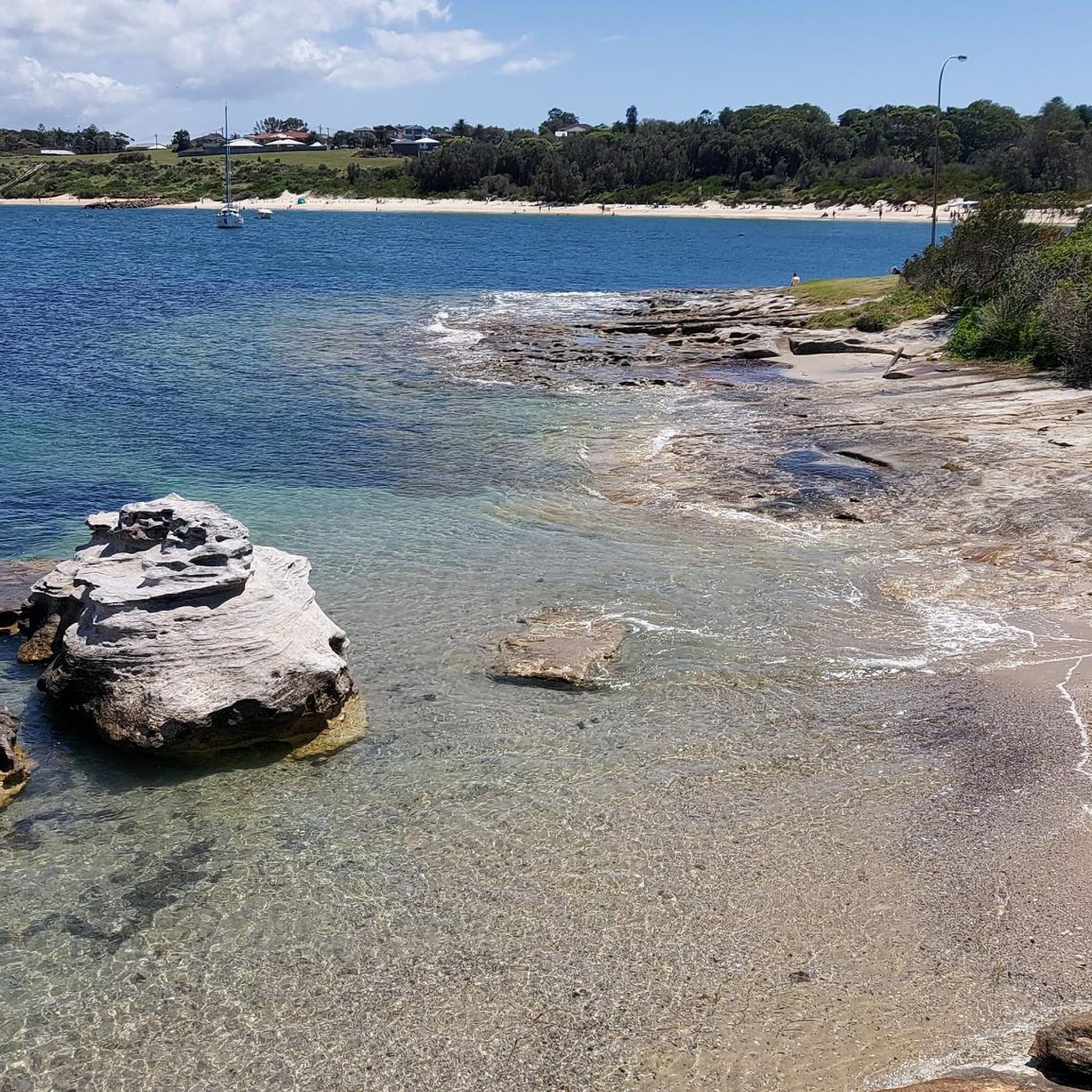
Road cycling routes in Kamay Botany Bay National Park offer diverse experiences across a landscape characterized by rocky coastal terrain, headlands, and wide views over Botany Bay. The park features a network of sealed roads and management trails suitable for cycling, providing access to both historical sites and natural coastal scenery. Cyclists can navigate smooth paths and enjoy vistas of beaches, headlands, and the city skyline, with routes designed to minimize heavy traffic. The terrain primarily consists of coastal paths…
Last updated: November 10, 2026
5.0
(1)
38
riders
16.4km
00:45
100m
100m
Easy road ride. Mostly well-paved surfaces and easy to ride.
83
riders
96.7km
04:39
940m
940m
Hard road ride. Very good fitness required. Some segments of this route may be unpaved and difficult to ride.

31
riders
25.4km
01:11
180m
180m
Easy road ride. Mostly well-paved surfaces and easy to ride.
22
riders
75.5km
04:15
890m
890m
Moderate road ride. Good fitness required. Mostly well-paved surfaces and easy to ride.
4
riders
33.5km
01:46
320m
320m
Moderate road ride. Good fitness required. Some segments of this route may be unpaved and difficult to ride.
Get access to more routes and recommendations from other explorers.
Already have an account?
Our route recommendations are based on thousands of hikes, rides, and runs completed by other people on komoot.
Start today with a free account
Your next adventure awaits.
Popular around Kamay Botany Bay National Park
Tips from the Community

This bridge connects Taren Point Road in Taren Point to Rocky Point Road in San Souci, with some great views over the river. There is a cycle/pedestrian path along the bridge but stay aware since it can be narrow and there is often bike traffic.
0
0

First opened in 1885, Como Bridge has linked the northern and southern shores of the Georges River for well over a century. Today, a shared pedestrian and cycle path runs alongside the active railway, offering wide river views as trains pass by just metres away. It's a memorable crossing that combines Sydney's railway heritage with one of the city's most scenic waterfront walks.
0
0
Neverfail Bay Reserve offers a peaceful stretch of regenerated bushland beside the Georges River, just beyond Como Bridge. The foreshore path passes through native forest that's home to birds such as Superb Fairy-wrens and Sacred Kingfishers, while the bay itself owes its name to a freshwater spring that never ran dry and once supplied both Aboriginal people and early European explorers.
0
0
Woolooware Bay's name comes from the Aboriginal word "Wooloowa," meaning "muddy track". It is still a fitting description today, since tidal mudflats are one of the first things you notice about the bay. It also hosts over 30 species of migratory shorebirds each year, so it's worth slowing down and taking a break here to take in the sights. Along the bay here, there is also a rest area with picnic tables and space to park bikes, making this a good pause point along the cycleway.
0
0

Otford Lookout sits high above the southern coastline of Royal National Park, with sweeping views over Bulgo Beach, the Illawarra coastline, and the Pacific Ocean. The adjacent parking lot is also the southern trailhead for the Coast Track and Werrong Beach Track, making it a popular starting point for some of the park’s best coastal walks. Even if you’re not heading out on an adventure, it’s a worthwhile stop to take in the fantastic cliff-top scenery.
0
0

Royal National Park is Australia's oldest and one of its most visited national parks. Its location, just south of Sydney put it within easy range for the six million visitors it gets each year. You'll find everything from beaches and headlands to waterfalls and towering eucalyptus forest within its boundaries.
0
0
Sans Souci Park is a picturesque waterfront reserve along the Georges River, with open lawns, picnic areas, and a promenade with sweeping water views. The park includes BBQ facilities, shared pathways, and access to a wharf and fishing spots, making it a popular spot for both relaxation and recreation. Its location beside the Captain Cook Bridge adds a scenic backdrop while connecting it to the beautiful surrounding bayside landscape.
0
0

Woronora Dam Park is a recreation area set at the base of Woronora Dam, surrounded by bushland. The park has big grassy lawns, shaded picnic areas, and views of the dam wall and reservoir. There are also facilities like picnic tables, shelters, and toilets, and a more low-key feel than some of Sydney's busier parks.
0
0
Frequently Asked Questions
What kind of terrain can I expect when road cycling in Kamay Botany Bay National Park?
Road cycling in Kamay Botany Bay National Park primarily features smooth, paved surfaces and well-maintained sealed roads. The routes often follow coastal paths and management trails, offering wide views across Botany Bay. While generally not designed for extensive cycle touring, the park provides an enjoyable environment with minimal heavy traffic, suitable for easy to moderate road rides.
Are there routes suitable for beginner or family-friendly road cycling?
Yes, Kamay Botany Bay National Park offers several easy road cycling routes perfect for beginners or families. For instance, the La Perouse Coastal View loop from Maroubra is an easy 16.4 km trail with smooth paths and coastal views. There are 9 easy routes in total, providing accessible options for various skill levels.
What are the elevation gains like on road cycling routes in the park?
The road cycling routes in Kamay Botany Bay National Park generally feature relatively modest elevation gains, as they primarily follow coastal paths and sealed roads. For example, the easy La Perouse Coastal View loop from Maroubra has an elevation gain of about 99 meters. Even longer moderate routes like the Brighton-Le-Sands Beach – View of Taren Point loop from Cronulla, at 63.4 km, only involve around 205 meters of ascent, making most rides manageable without significant climbing.
What historical landmarks or natural features can I see while cycling?
Kamay Botany Bay National Park is rich in both historical significance and natural beauty. While cycling, you can encounter sites like Inscription Point at Kurnell, marking Captain Cook's 1770 landing, and the historically significant La Perouse area. Natural features include stunning ocean views, rugged sandstone cliffs, and opportunities for whale spotting from May to November, particularly from exposed headlands. The park's diverse coastal ecosystems, including heathland and ancient sand dunes, are also visible along many routes.
Are there any circular road cycling routes available?
Yes, many road cycling routes in Kamay Botany Bay National Park are designed as loops, offering convenient starting and ending points. Popular examples include the La Perouse Coastal View loop from Maroubra and the Brighton-Le-Sands Beach – View of Taren Point loop from Cronulla. These circular routes allow you to experience diverse scenery without retracing your path.
What is the best time of year to go road cycling in Kamay Botany Bay National Park?
The park is enjoyable for road cycling year-round, but spring (September to November) and autumn (March to May) generally offer the most pleasant conditions with mild temperatures. During the whale migration season from May to November, you might also spot humpback whales from coastal viewpoints. Summer can be warm, so early morning or late afternoon rides are recommended, while winter is typically mild and suitable for cycling.
Can I bring my dog on the cycling trails in Kamay Botany Bay National Park?
No, dogs are generally not permitted on cycling trails or walking tracks within Kamay Botany Bay National Park to protect the native wildlife and natural environment. It's always best to check the official NSW National Parks website for the most current regulations regarding pets in the park.
Where can I find parking for road cycling in Kamay Botany Bay National Park?
Parking is available at various access points within Kamay Botany Bay National Park, both in the La Perouse and Kurnell sections. Specific parking areas are often located near popular trailheads and attractions. It's advisable to check the official park website for detailed information on parking locations and any potential fees.
Are there cafes or places to eat near the cycling routes?
Yes, there are cafes and dining options available near the park's entrances and in the surrounding suburbs. The La Perouse area, for example, has several cafes. For routes starting further afield, like those from Maroubra or Cronulla, you'll find numerous establishments for refreshments before or after your ride.
How do other road cyclists rate their experience in Kamay Botany Bay National Park?
The road cycling experience in Kamay Botany Bay National Park is highly regarded by the komoot community, with an average rating of 3.6 stars from over 10 reviews. Cyclists often praise the smooth paths, unbeatable views over Botany Bay, and the opportunity to combine a ride with historical exploration and coastal scenery.
Are there any advanced or challenging road cycling routes in the park?
While the park primarily offers easy to moderate routes, some longer options provide a more challenging experience due to their distance. For example, the Cronulla Beach – Otford Lookout loop from Cronulla is a moderate 74.2 km route with over 875 meters of elevation gain, offering a more demanding ride for experienced cyclists.
Is public transport available to access Kamay Botany Bay National Park for cycling?
Yes, public transport options are available to reach different parts of Kamay Botany Bay National Park. Buses service the La Perouse area, and train stations in nearby suburbs like Cronulla can provide access to the southern section of the park. It's recommended to check Sydney's public transport website for the most up-to-date routes and schedules.
Do I need any permits to cycle in Kamay Botany Bay National Park?
Generally, you do not need a specific permit for recreational cycling on the designated sealed roads and management trails within Kamay Botany Bay National Park. However, standard park entry fees may apply for vehicles, and it's always a good idea to check the official NSW National Parks website for any current regulations or changes before your visit.
Most popular routes in Kamay Botany Bay National Park
Most popular attractions in Kamay Botany Bay National Park

Get inspired with the komoot mobile app


Explore more
Browse the best Road cycling routes in other regions.
