The best walks and hikes in Kamay Botany Bay National Park
4.5
(104)
3,017
hikers
74
hikes
Hiking trails in Kamay Botany Bay National Park traverse a diverse landscape characterized by rugged sandstone cliffs, sheltered coves, and pristine beaches. The park is divided into two distinct areas, La Perouse and Kurnell, separated by the waters of Botany Bay. Hikers will encounter varied vegetation, from low shrubs and heathland to coastal scrub and dry eucalyptus forest. The terrain includes coastal paths, rock platforms, and sandy soils, offering a range of experiences for outdoor enthusiasts.
Best hiking trails in Kamay Botany Bay National Park
- The most popular hiking route is Brown Rock – Cape Banks Rock Formations loop from Little Bay, a 5.2 miles (8.4 km) moderate trail that takes 2 hours 16 minutes to complete, offering diverse coastal views and rock formations.
- Another top favourite among local hikers is Cape Solander – Long Nose Point loop from Kamay Botany Bay National Park, a moderate 6.0 miles (9.6 km) path. This route provides impressive ocean views along the clifftops, particularly during whale migration season.
- Local hikers also love the The Leap Lookout – Cape Solander Coastal View loop from Kamay Botany Bay National Park, a 7.7 miles (12.4 km) trail leading through coastal scenery, often completed in about 3 hours 14 minutes.
- Hiking in Kamay Botany Bay National Park is defined by coastal paths, sandstone cliffs, and diverse heathland. The network offers options for easy strolls, moderate hikes, and more challenging routes across its varied terrain.
- The routes in Kamay Botany Bay National Park are highly rated by the komoot community with an average score of 4.6 stars from over 300 reviews. More than 6000 hikers have used komoot to explore Kamay Botany Bay National Park's varied terrain.
Last updated: November 10, 2026
4.7
(20)
152
hikers
8.04km
02:09
100m
100m
Moderate hike. Good fitness required. Easily walkable paths.
5.0
(9)
131
hikers
7.75km
02:08
130m
130m
Moderate hike. Good fitness required. Easily walkable paths.

5.0
(1)
101
hikers
6.68km
01:45
50m
50m
Easy hike. Easily walkable paths.
5.0
(2)
76
hikers
9.32km
02:27
80m
80m
Moderate hike. Good fitness required. Easily walkable paths.
20
hikers
6.97km
01:55
120m
120m
Easy hike. Easily walkable paths.
Get access to more routes and recommendations from other explorers.
Already have an account?
Our route recommendations are based on thousands of hikes, rides, and runs completed by other people on komoot.
Start today with a free account
Your next adventure awaits.
Popular around Kamay Botany Bay National Park
Tips from the Community

Tabbigai Gap is a coastal inlet along the cliffs of Kamay Botany Bay National Park, with a real hidden history behind it. Between the 1920s and 1960s, a small community of fishermen carved makeshift homes directly into the cliff face here, until the Department of Lands eventually evicted them from the Crown land. Today, interpretive signs near the gap tell the story of this remarkable clifftop settlement, making it one of the most memorable stops along the Cape Baily walk. It's a quiet reminder of a different way of life that once existed along this beautiful stretch of coast.
0
0
Yena Trail is part of a short 2.5-kilometre loop with the Muru Track, passing the Yena picnic area in the Kurnell section of Kamay Botany Bay National Park. It winds through dry eucalypt forest before giving way to sandstone heath and dunes, where you can take in the coastal views, birdlife, and wildflowers along the way. This area was once home to the Goorawal and Gweagal peoples, and remains part of the traditional Country their descendants continue to care for today.
0
0

This is one of the best land-based whale watching lookouts in all of Australia. Humpback whales can be seen swimming by from May to October, but June and July are when you'll have the best chance to spot them. Due to the nature of the waters here the whales are sometimes only 200 metres offshore, which is why this is such a great whale watching viewpoint.
0
0
The Cape Baily Lighthouse is built on a hill near the south end of the cape. This location was chosen to help northbound ships sail closer to shore in order to avoid strong currents further out.
0
0
Long Nose Point sits on top of the dramatic headlands of Cape Baily. You'll have great views of the cliffs, water, and the lighthouse in the distance. The area around the point is very exposed to wind and sun, so wearing the appropriate outerwear is essential.
0
0
Tracing the coastline of La Perouse in Botany Bay National Park, this well maintained track has excellent coastal views. The 4-kilometre path is an out and back walk to Endeavour Lighthouse, but you can use other tracks in the area to continue on or make a loop hike if you wish.
0
0
Fort Banks is a former World War II coastal defense fortification that once housed massive 9.2-inch counter-bombardment guns. Today, the weathered concrete bunkers, observation posts, and gun emplacements provide a raw, windswept look at Australia’s wartime home-front fortifications.
0
0
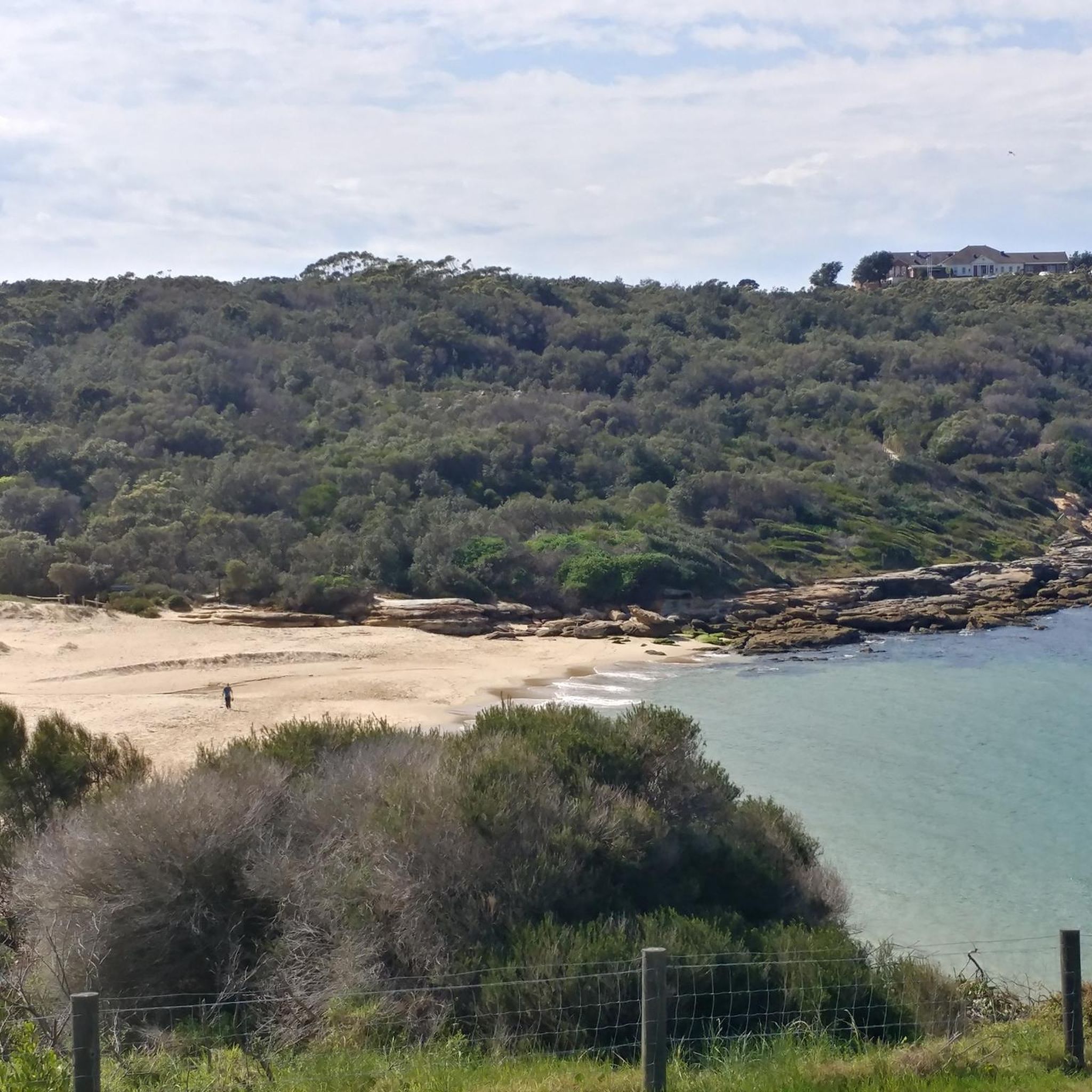
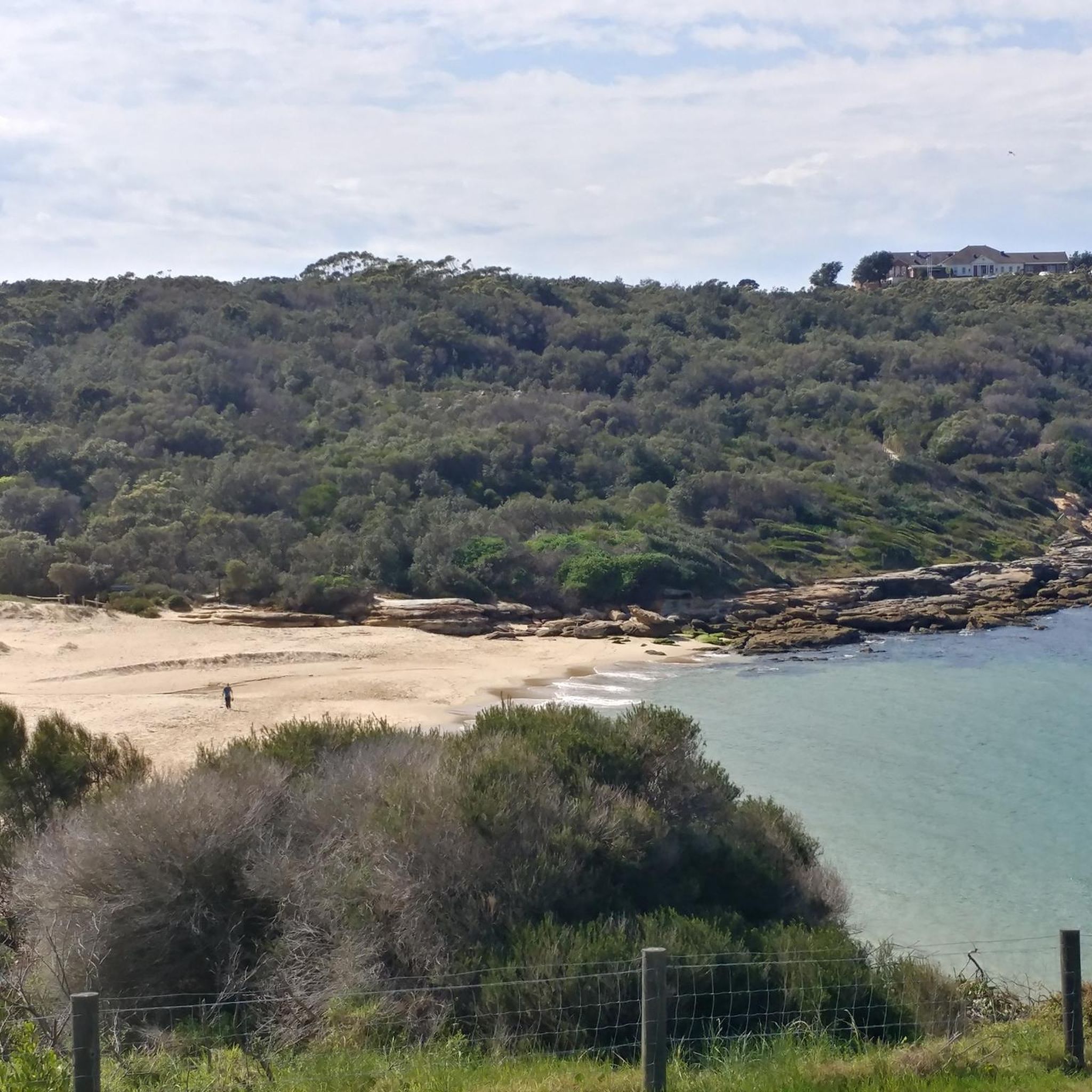
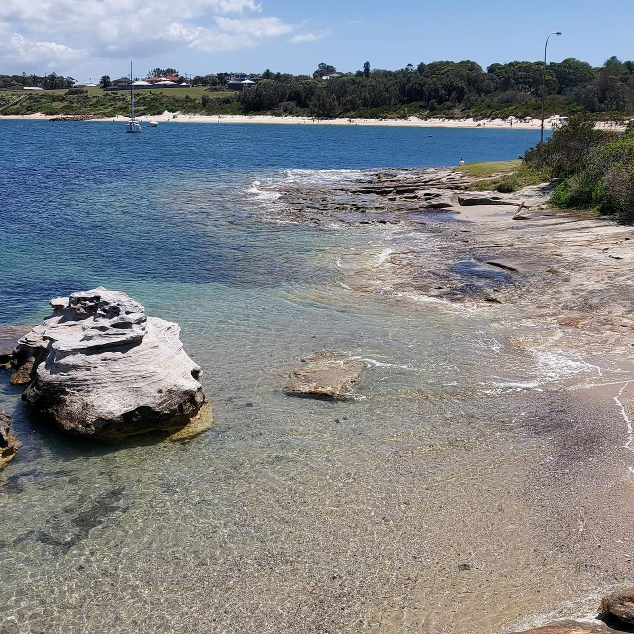
Little Congwong Beach is a sheltered, sandy cove within Kamay Botany Bay National Park, near La Perouse. Tucked behind low headlands, it’s known for its calm waters, relaxed atmosphere, and is a relatively secluded spot compared to nearby beaches. Popular for swimming, sunbathing, and picnicking, it’s a quieter alternative to Congwong Beach, which is just around the point.
0
0
Frequently Asked Questions
How many hiking trails are available in Kamay Botany Bay National Park?
Kamay Botany Bay National Park offers a wide variety of hiking experiences, with over 80 trails recorded on komoot. These range from easy strolls to more moderate and challenging routes, ensuring options for all fitness levels.
What kind of terrain can I expect on the hiking trails in Kamay Botany Bay National Park?
The park's trails traverse diverse landscapes, primarily characterized by rugged sandstone cliffs, sheltered coves, and pristine beaches. You'll encounter coastal paths, rock platforms, and areas of heathland, coastal scrub, and even dry eucalyptus forest, especially on the Kurnell side. The La Perouse section features rocky sandstone cliffs and scrub-covered dunes.
Are there any family-friendly hiking options in the park?
Yes, Kamay Botany Bay National Park has numerous easy trails suitable for families. With over 50 easy routes available, you can find gentle walks that explore the coastal scenery and historical sites. Many trails offer accessible paths and opportunities for children to explore nature.
Can I bring my dog on the hiking trails in Kamay Botany Bay National Park?
Generally, dogs are not permitted on walking tracks or in national park areas in New South Wales, including Kamay Botany Bay National Park, to protect native wildlife and habitats. It's always best to check the official NSW National Parks website for the most current regulations regarding pets: nationalparks.nsw.gov.au.
Are there any circular hiking routes in Kamay Botany Bay National Park?
Yes, the park features several excellent loop trails. For instance, the Cape Banks Rock Formations loop from La Perouse is an easy 7 km route offering diverse coastal views. Another popular option is the moderate Cape Solander – Long Nose Point loop, which provides impressive ocean vistas.
What historical or cultural sites can I explore while hiking in the park?
Kamay Botany Bay National Park is rich in history. On the Kurnell side, you can visit Captain Cook's Landing Place (Inscription Point) and the Meeting Place Memorial. On the La Perouse side, explore Bare Island, connected by a footbridge, which features a late 19th-century naval fort. The Macquarie Watchtower and La Perouse Museum also offer insights into the area's past.
What wildlife might I encounter during a hike?
The park is a haven for wildlife, with over 70 species of native birds, as well as possums, flying foxes, and bats. During migration season (May to November), Cape Solander on the Kurnell side is a renowned spot for whale watching. Keep an eye out for diverse marine life in the waters surrounding the park as well.
What is the best time of year to go hiking in Kamay Botany Bay National Park?
The park is enjoyable year-round, but spring (September to November) and autumn (March to May) offer pleasant temperatures for hiking. Winter (June to August) is ideal for whale watching from Cape Solander, while summer (December to February) can be hot, making early morning or late afternoon hikes preferable, with opportunities for swimming at sheltered beaches like Congwong Beach.
Are there any challenging hikes for experienced hikers?
While many trails are easy to moderate, the park does offer some longer, more challenging options. For example, the The Leap Lookout – Cape Solander Coastal View loop is a moderate 12.4 km trail that provides an extended coastal experience. The varied terrain, including coastal paths and rock platforms, can offer a good workout.
How can I access Kamay Botany Bay National Park using public transport?
Both the La Perouse and Kurnell sections of the park are accessible by public transport from Sydney. Buses service La Perouse, while Kurnell can also be reached by bus, though services might be less frequent. It's advisable to check current timetables and routes with Transport for NSW before your visit.
Are there facilities like cafes or picnic areas within or near the park?
Yes, there are facilities available. Picnic areas like Commemoration Flat and Yena picnic area offer relaxing spots. In La Perouse, you'll find cafes and eateries nearby. On the Kurnell side, options for refreshments are available in the local area. It's always a good idea to bring your own water and snacks, especially for longer hikes.
What do other hikers enjoy most about hiking in Kamay Botany Bay National Park?
The area is highly rated by the komoot community, with an average score of 4.6 stars from over 300 reviews. Reviewers often praise the stunning coastal views, the diverse natural landscapes, and the rich historical significance of the park. The variety of trails, from easy strolls to more challenging routes, is also frequently highlighted.
Most popular routes in Kamay Botany Bay National Park
Most popular attractions in Kamay Botany Bay National Park

Get inspired with the komoot mobile app


Explore more
Browse the best Hikes in other regions.
