The best running trails in Pine Island / Point Hut
4.8
(4)
716
runners
50
runs
Jogging routes in Pine Island / Point Hut offer diverse paths primarily along significant waterways and through local parklands. The terrain is generally flat to gently undulating, making it accessible for a range of fitness levels. This region is characterized by its riverfront trails, pond loops, and open green spaces, providing a pleasant environment for running. The area's natural features include the Murrumbidgee River and various local ponds, which define many of the running experiences.
Best jogging routes in Pine…
Last updated: May 23, 2026
6
runners
8.93km
00:59
40m
40m
Moderate run. Good fitness required. Mostly paved surfaces. Suitable for all skill levels.
4
runners
13.2km
01:27
110m
110m
Moderate run. Good fitness required. Mostly paved surfaces. Suitable for all skill levels.

Sign up for free
3
runners
4.29km
00:28
60m
60m
Easy run. Great for any fitness level. Mostly paved surfaces. Suitable for all skill levels.
108
runners
Moderate run. Good fitness required. Mostly paved surfaces. Suitable for all skill levels.
44
runners
5.31km
00:33
30m
30m
Moderate run. Good fitness required. Mostly paved surfaces. Suitable for all skill levels.
Get access to more routes and recommendations from other explorers.
Sign up for free
Already have an account?
Our route recommendations are based on thousands of hikes, rides, and runs completed by other people on komoot.
Start today with a free account
Your next adventure awaits.
Login or Signup
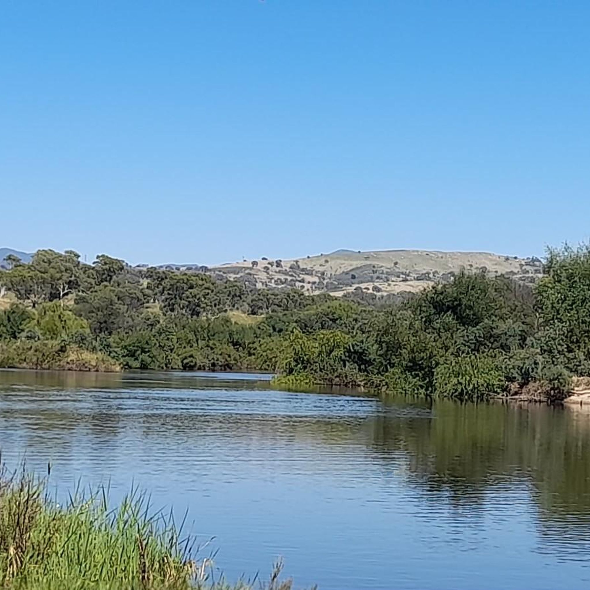
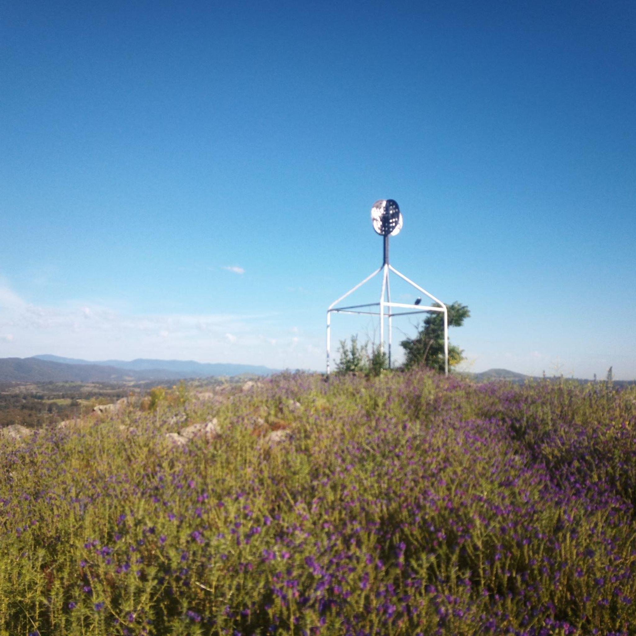

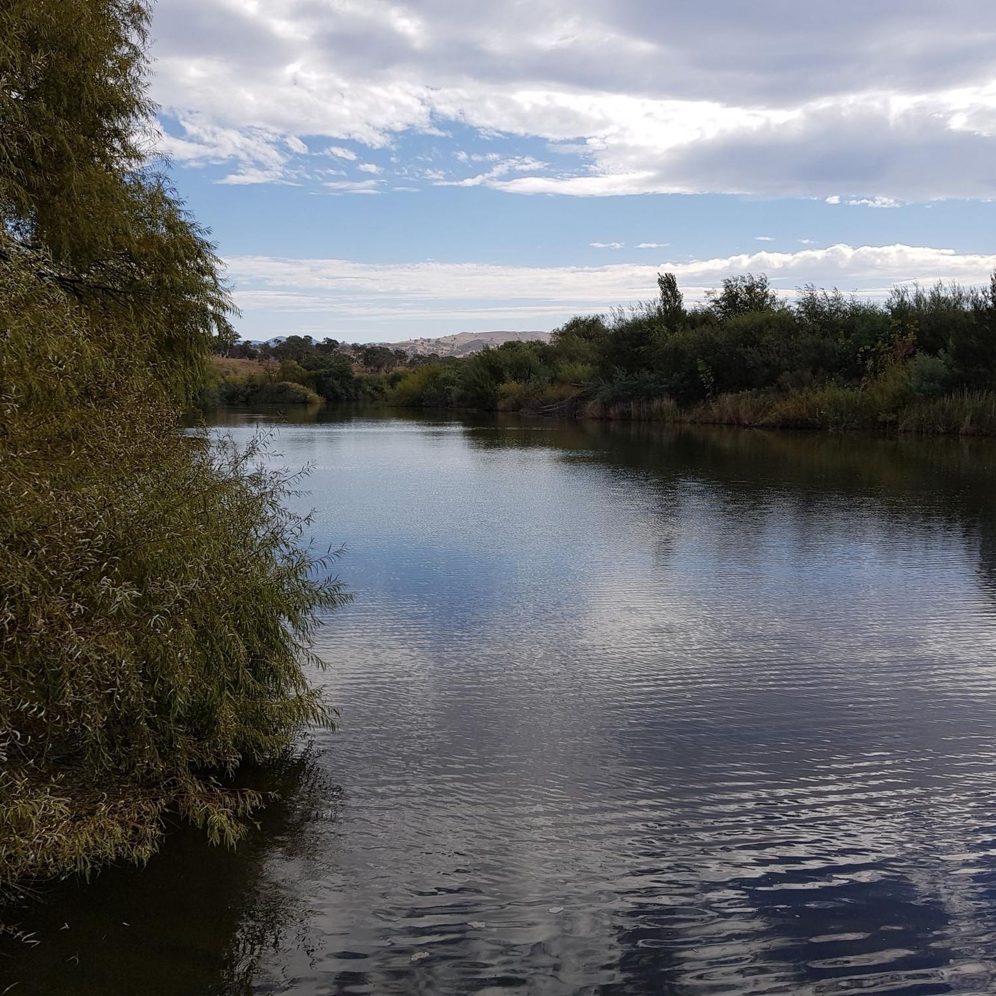

Tips from the Community

Lake Tuggeranong is a beautiful artificial lake in Canberra’s Tuggeranong district, created in the 1980s as part of the suburb’s town centre development. There is a shared walking and cycling path that circles the lake, passing parks, wetlands, and recreation areas along the shoreline. The lake is a popular local spot ideal for walking, cycling, kayaking, and birdwatching.
0
0
Tuggeranong Town Park Beach is a small sandy lakeside area within Tuggeranong Town Park on the northern shore of Lake Tuggeranong. The beach sits along open lawns and playgrounds, making it a popular place for families to relax by the water. Nearby facilities include picnic tables, barbecues, public toilets, playgrounds, and plenty of walking paths around the lake.
0
0
Frequently Asked Questions
How many running routes are available in Pine Island / Point Hut?
There are over 50 dedicated running routes in Pine Island / Point Hut, catering to various fitness levels. You'll find a good mix of easy, moderate, and some more challenging options to explore.
Are there any easy or beginner-friendly jogging routes in the area?
Yes, Pine Island / Point Hut offers several easy routes perfect for beginners or those looking for a relaxed run. An excellent option is the Running loop from District of Tuggeranong, which is 2.7 miles (4.3 km) and leads through local parkland with minimal elevation.
What kind of terrain can I expect on the running trails?
The terrain in Pine Island / Point Hut is generally flat to gently undulating. Most routes follow riverfront paths, pond loops, and open green spaces, providing a smooth and accessible surface for running.
Are there any circular running routes around ponds or lakes?
Absolutely. The region is known for its scenic pond loops. A popular choice is the Stranger Pond loop from District of Tuggeranong, which is 5.5 miles (8.9 km) and offers beautiful views around the pond with minimal elevation changes. Another great option is the Point Hut Pond loop from Gordon.
What do other runners say about the trails in Pine Island / Point Hut?
The running routes in Pine Island / Point Hut are highly rated by the komoot community, with an average score of 4.7 stars. Over 800 runners have explored these trails, often praising the scenic river paths, tranquil pond loops, and well-maintained parklands.
Are there longer running routes for more experienced runners?
Yes, for those seeking a longer challenge, the Murrumbidgee River – Tuggeranong Town Park Beach loop from District of Tuggeranong is a moderate 8.2 miles (13.1 km) path that follows the Murrumbidgee River, offering expansive waterfront views.
Can I find running routes that offer scenic views?
Many routes in Pine Island / Point Hut offer picturesque scenery, particularly those along the Murrumbidgee River and around the various ponds. The riverfront trails provide expansive views, while pond loops offer tranquil waterside vistas.
Are there any running routes around Lake Tuggeranong?
Yes, you can enjoy a run around Lake Tuggeranong. The Lake Tuggeranong – Tuggeranong Town Park Beach loop from District of Tuggeranong is a moderate 9.9 km (6.1 miles) route that circles the lake, offering pleasant views.
What are the typical distances of running routes in this area?
Running routes in Pine Island / Point Hut vary in distance. You can find shorter loops around 2.7 miles (4.3 km) up to longer trails like the 8.2 miles (13.1 km) Murrumbidgee River loop, providing options for different training goals.
Is the area suitable for running with a family?
Given the generally flat to gently undulating terrain and the presence of parklands and pond loops, many routes are suitable for family runs. Shorter, easy routes like the Running loop from District of Tuggeranong are particularly good for families.
What defines the running experience in Pine Island / Point Hut?
Jogging in Pine Island / Point Hut is primarily defined by its river paths along the Murrumbidgee, serene pond loops, and open parklands. The natural features of the area, particularly the waterways, create a pleasant and varied environment for runners.
Most popular routes in Pine Island / Point Hut

Get inspired with the komoot mobile app


Explore more
Browse the best Running Trails & Routes in other regions.
