The best walks and hikes in Pine Island / Point Hut
4.4
(29)
725
hikers
41
hikes
Hiking in Pine Island / Point Hut, located in the Australian Capital Territory, offers a variety of trails primarily around Lake Tuggeranong and the Urambi Hills. The landscape features open parklands, lakeside paths, and gentle hills, providing accessible outdoor experiences. The region is characterized by its urban-natural interface, with routes often following waterways and through areas of native vegetation. These conditions make for generally easy hikes suitable for various skill levels.
Best hiking trails in Pine Island / Point Hut
- The most popular hiking route is Lake Tuggeranong Circuit, an easy 4.5 miles (7.2 km) trail that takes 1 hour 50 minutes to complete. This circular walk offers continuous views of the lake.
- Another top favourite among local hikers is Lake Tuggeranong – Mundang loop from District of Tuggeranong, an easy 3.8 miles (6.1 km) path. This route follows the lake's edge, providing a flat and accessible surface.
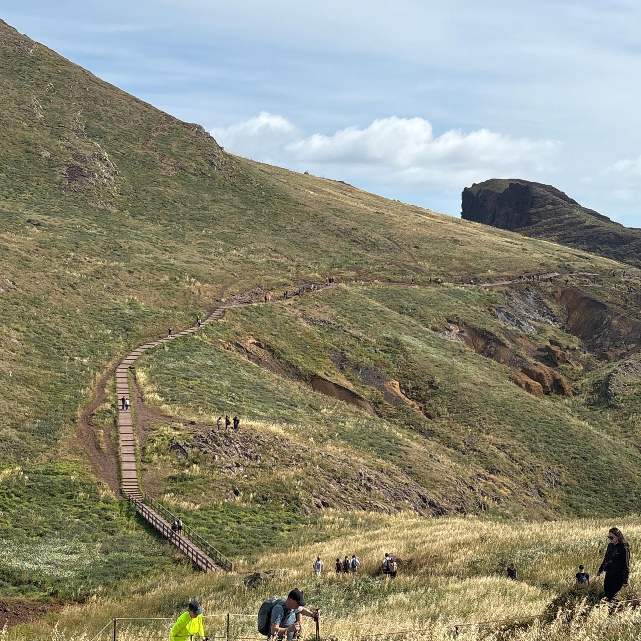
- Local hikers also love the Urambi Hills Summit loop from Southern Cross Stadium, a 4.0 miles (6.5 km) trail leading through open grassland and up to a hill summit, often completed in about 1 hour 52 minutes.
- Hiking in Pine Island / Point Hut is defined by lakeside paths, open parklands, and gentle hills. The network offers options for different ability levels, including many easy hikes for beginners.
- The routes in Pine Island / Point Hut are highly rated by the komoot community with an average score of 4.5 stars from nearly 30 reviews. More than 700 hikers have used komoot to explore Pine Island / Point Hut's varied terrain.
Last updated: May 21, 2026
5.0
(2)
79
hikers
7.25km
01:51
20m
20m
Easy hike. Great for any fitness level. Easily-accessible paths. Suitable for all skill levels.
5.0
(2)
72
hikers
6.14km
01:34
20m
20m
Easy hike. Great for any fitness level. Easily-accessible paths. Suitable for all skill levels.

Sign up for free
10
hikers
6.47km
01:52
160m
160m
Easy hike. Great for any fitness level. Easily-accessible paths. Suitable for all skill levels.
4.0
(1)
6
hikers
5.82km
01:31
40m
40m
Easy hike. Great for any fitness level. Easily-accessible paths. Suitable for all skill levels.
13
hikers
9.75km
03:10
440m
440m
Moderate hike. Good fitness required. Easily-accessible paths. Suitable for all skill levels.
Get access to more routes and recommendations from other explorers.
Sign up for free
Already have an account?
Our route recommendations are based on thousands of hikes, rides, and runs completed by other people on komoot.
Start today with a free account
Your next adventure awaits.
Login or Signup


Tips from the Community

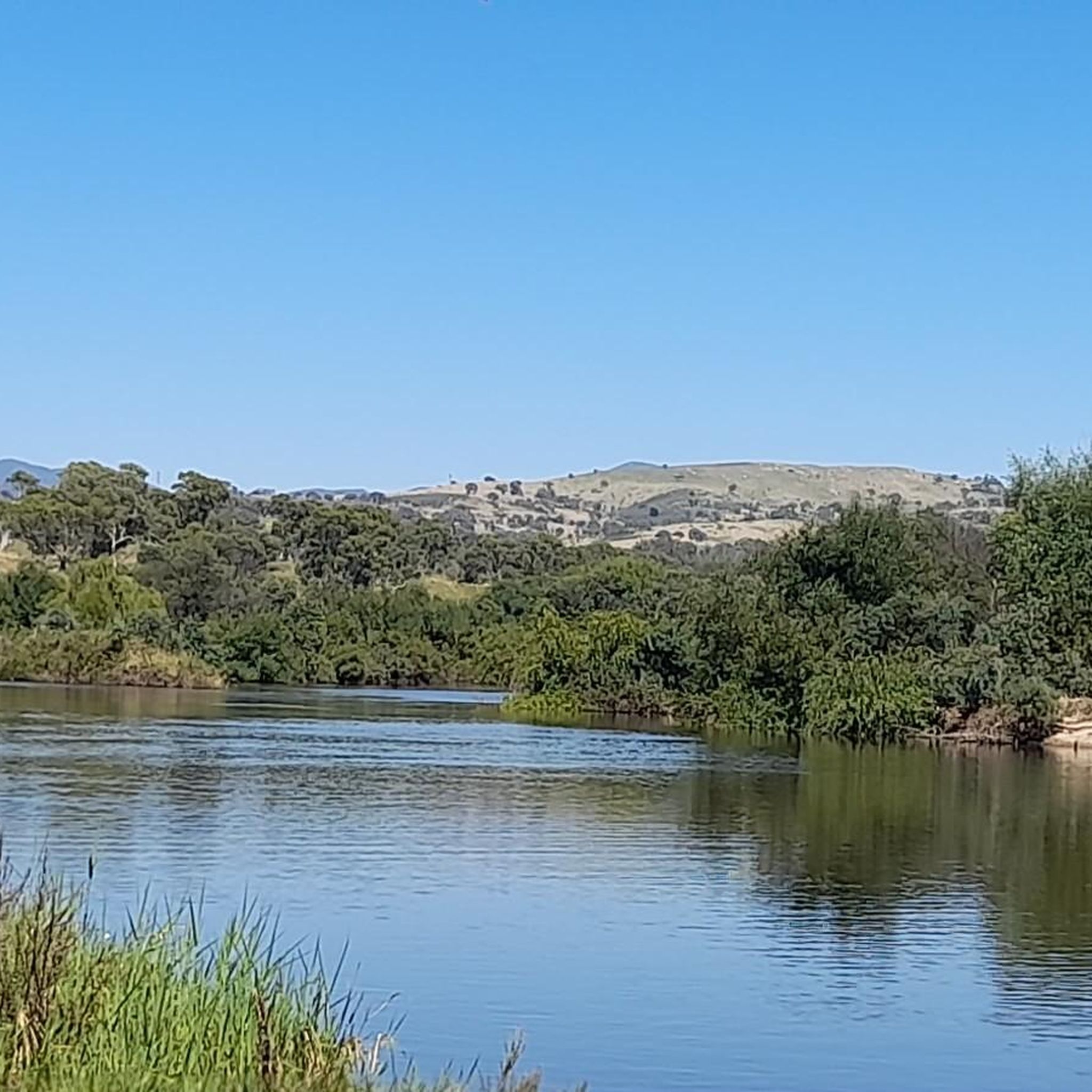
Ngadyung Beach is a small, sandy, quiet lakeside area nestled along Lake Tuggeranong. The beach sits along open grass and the shared path that forms part of the Lake Tuggeranong Circuit. It's a peaceful place to stop along the lake for views across the water and a short break during a walk or cycle.
0
0
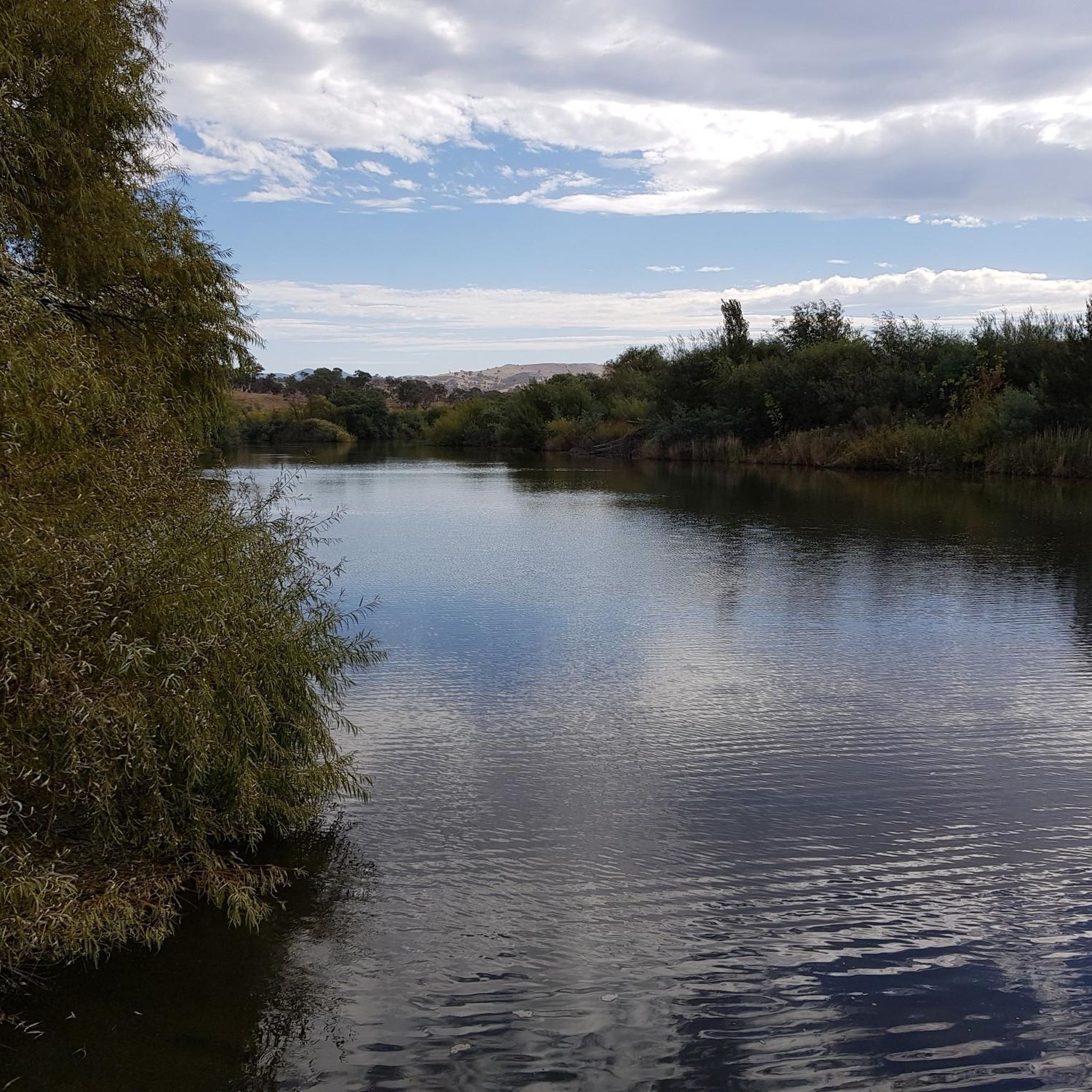
Lake Tuggeranong is a beautiful artificial lake in Canberra’s Tuggeranong district, created in the 1980s as part of the suburb’s town centre development. There is a shared walking and cycling path that circles the lake, passing parks, wetlands, and recreation areas along the shoreline. The lake is a popular local spot ideal for walking, cycling, kayaking, and birdwatching.
0
0
Tuggeranong Town Park Beach is a small sandy lakeside area within Tuggeranong Town Park on the northern shore of Lake Tuggeranong. The beach sits along open lawns and playgrounds, making it a popular place for families to relax by the water. Nearby facilities include picnic tables, barbecues, public toilets, playgrounds, and plenty of walking paths around the lake.
0
0
Frequently Asked Questions
How many hiking trails are available in Pine Island / Point Hut?
There are over 40 hiking trails in Pine Island / Point Hut, offering a diverse range of experiences. The majority, 29, are rated as easy, with 12 moderate and 2 difficult options available for more experienced hikers.
Are there easy hikes suitable for beginners in Pine Island / Point Hut?
Yes, Pine Island / Point Hut is an excellent area for beginners, with 29 easy trails. Many routes follow lakeside paths and gentle hills, making them accessible. A good starting point is the Lake Tuggeranong Circuit, an easy 4.5-mile (7.2 km) walk offering continuous lake views.
Are the hiking trails in Pine Island / Point Hut dog-friendly?
Many areas in Pine Island / Point Hut, particularly along Lake Tuggeranong, are dog-friendly, though regulations can vary. It's generally recommended to keep dogs on a leash. Always check local signage for specific rules regarding pets on individual trails or in nature reserves.
What are the best circular walks in Pine Island / Point Hut?
Pine Island / Point Hut offers several enjoyable circular walks. The Lake Tuggeranong – Mundang loop from District of Tuggeranong is a popular easy option, following the lake's edge. For a slightly more varied terrain, consider the Urambi Hills Summit loop from Southern Cross Stadium, which leads through open grassland to a hill summit.
Are there family-friendly walks in Pine Island / Point Hut?
Absolutely. The region's trails are generally easy and well-suited for families. The flat, accessible paths along Lake Tuggeranong are particularly good for walks with children. The Lake Tuggeranong – Ngadyung loop from Oxley is another excellent choice for a family outing.
What is the best season for hiking in Pine Island / Point Hut?
Hiking in Pine Island / Point Hut is enjoyable year-round. Spring (September-November) and Autumn (March-May) offer pleasant temperatures and vibrant scenery. Summer (December-February) can be hot, so early morning or late afternoon hikes are best. Winter (June-August) is generally mild, making it suitable for hiking, though mornings can be crisp.
What kind of terrain can I expect on the trails?
The terrain in Pine Island / Point Hut primarily features open parklands, well-maintained lakeside paths, and gentle hills, especially around Lake Tuggeranong and the Urambi Hills. Most trails are relatively flat or have gradual inclines, suitable for various fitness levels.
Are there any wild swimming spots near the hiking trails?
While Lake Tuggeranong is a prominent feature, it is not generally recommended for swimming due to water quality concerns. For designated swimming areas, you would need to explore other locations within the wider Canberra region.
What do other hikers enjoy most about hiking in Pine Island / Point Hut?
The area is highly rated by the komoot community, with an average score of 4.5 stars from nearly 30 reviews. Hikers often praise the accessible lakeside paths, the peaceful urban-natural interface, and the ease of finding suitable routes for all abilities.
Is there parking available at the trailheads in Pine Island / Point Hut?
Yes, parking is generally available at various access points around Lake Tuggeranong and near the Urambi Hills. Specific trailheads often have dedicated parking lots, making it convenient to start your hike. It's always a good idea to check maps for the closest parking to your chosen starting point.
Can I reach the hiking trails using public transport?
Pine Island / Point Hut is located within the Canberra region, which has a public transport network. While some trailheads might be accessible via bus routes, direct access to all starting points may vary. Planning your route with local transport apps is recommended to confirm the best options.
Are there any hidden gem walks in Pine Island / Point Hut?
While many trails are well-known, exploring the less-trafficked paths within the Urambi Hills, such as the Urambi Hills Summit loop from Kambah, can offer a sense of discovery. These routes often provide quieter experiences and unique views of the surrounding landscape.
Most popular routes in Pine Island / Point Hut

Get inspired with the komoot mobile app


Explore more
Browse the best Hikes in other regions.
