The best walks and hikes in Rosario
4.9
(5)
59
hikers
2
hikes
Hiking in Rosario features challenging trails with significant elevation gains, characteristic of a mountainous landscape. The region offers routes that ascend to prominent peaks, providing extensive views. These trails often traverse varied terrain, including steep ascents and descents. Hikers can expect demanding paths that require good physical condition.
Best hiking trails in Rosario
- The most popular hiking route is Cerro Piedra Blancas Summit – Pico Blanco Rock loop from Alajuelita, a 9.9 miles (15.9 km) trail that takes 6…
Last updated: May 20, 2026
4.7
(3)
31
hikers
15.9km
06:31
1,240m
1,240m
Hard hike. Very good fitness required. Easily-accessible paths. Suitable for all skill levels.
5.0
(1)
26
hikers
11.4km
04:49
970m
970m
Hard hike. Very good fitness required. Easily-accessible paths. Suitable for all skill levels.

Sign up for free
5.0
(1)
2
hikers
14.2km
05:35
1,030m
1,030m
Hard hike. Very good fitness required. Easily-accessible paths. Suitable for all skill levels.
Our route recommendations are based on thousands of hikes, rides, and runs completed by other people on komoot.
Start today with a free account
Your next adventure awaits.
Login or Signup
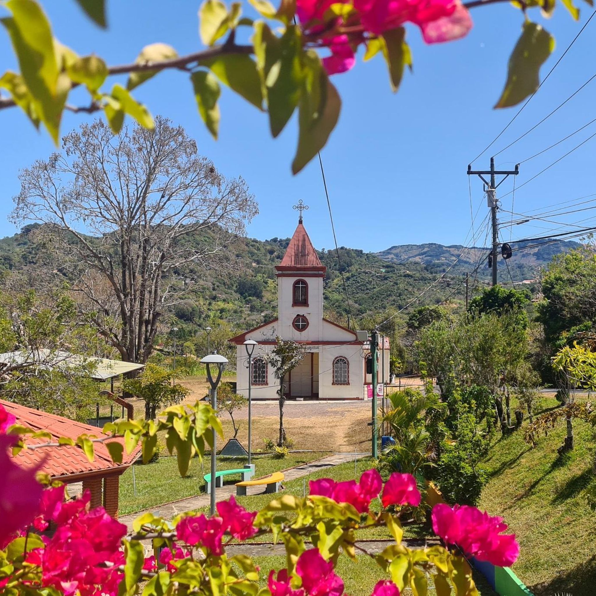
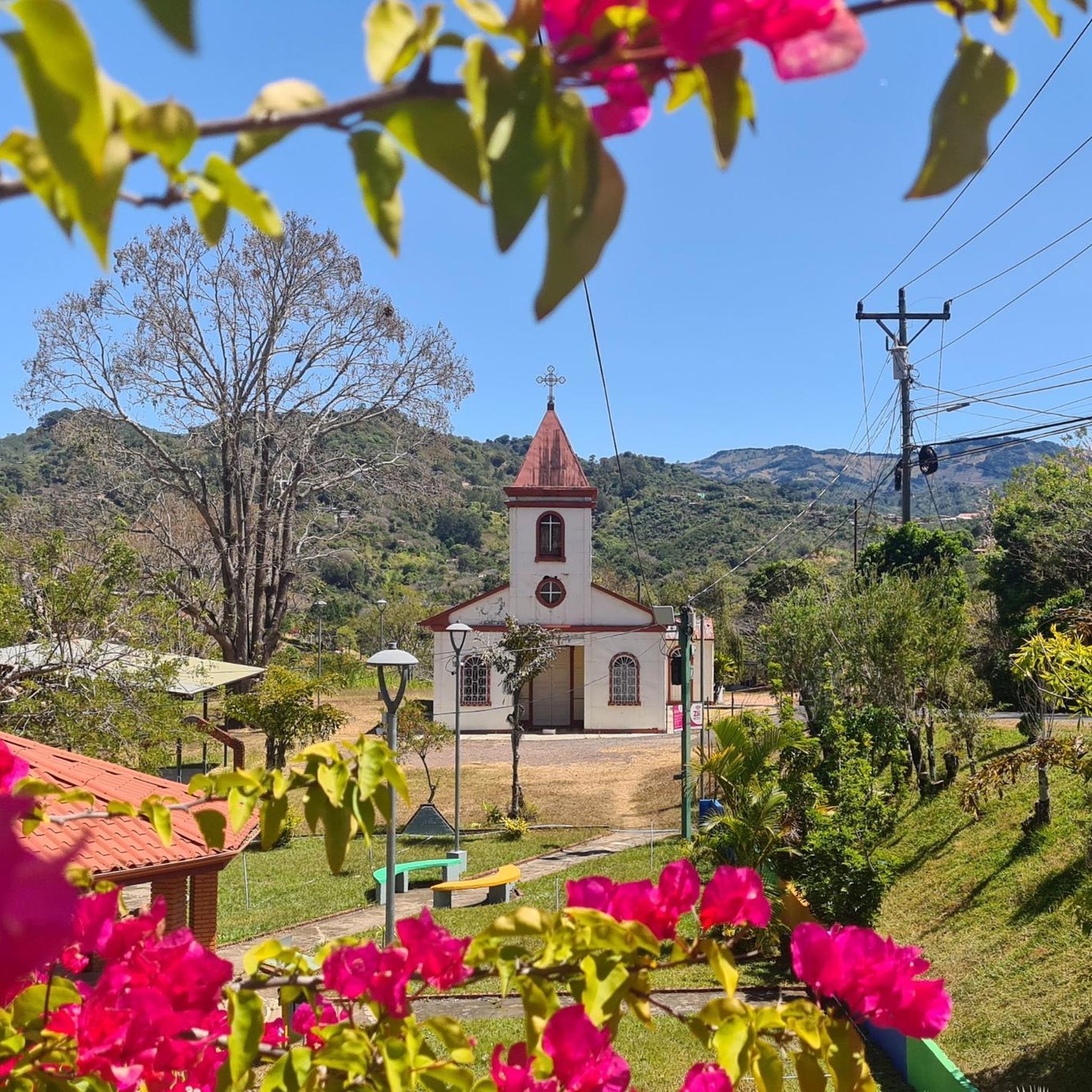

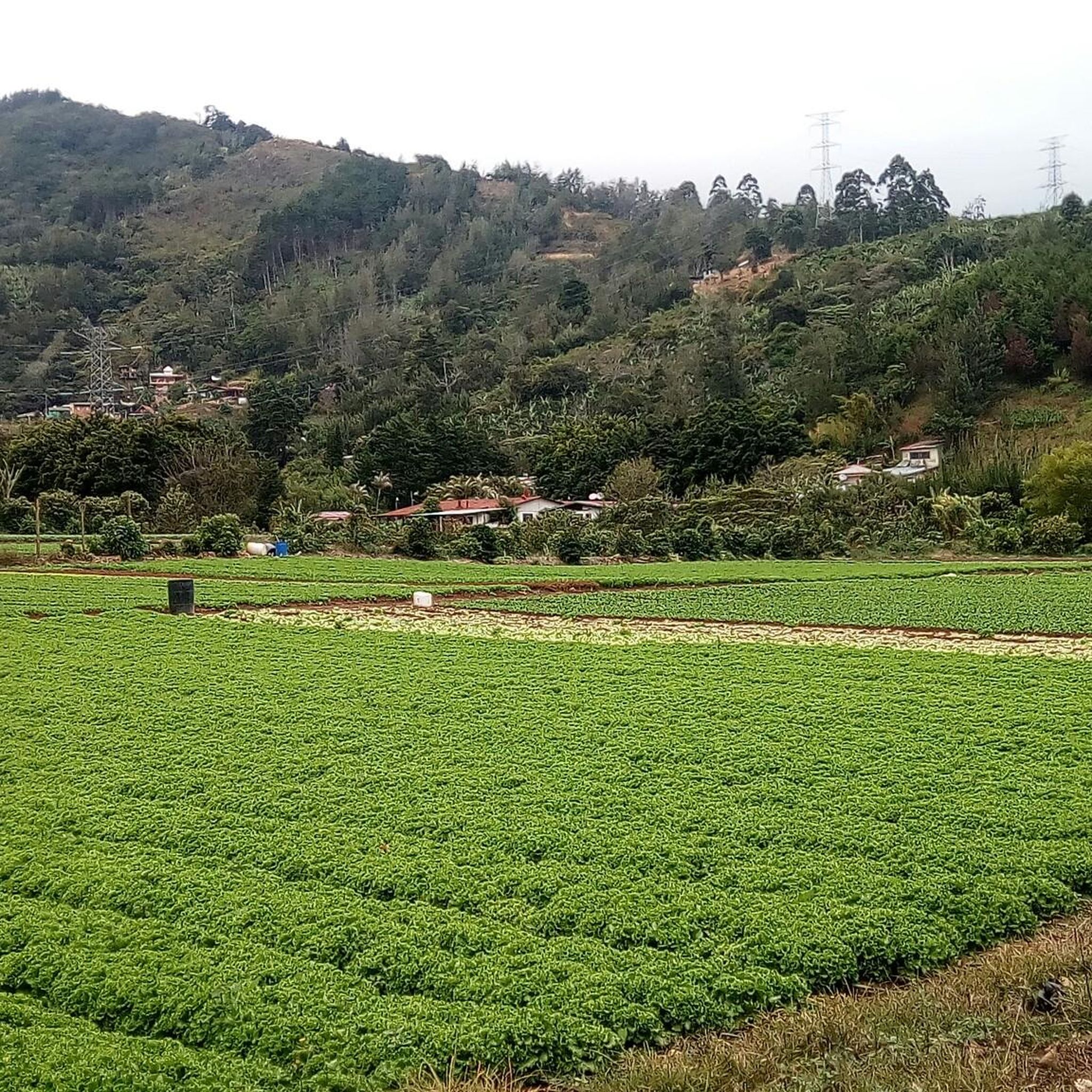
Tips from the Community


Ascent with intermediate / high difficulty.
0
0
Frequently Asked Questions
What kind of hiking experience can I expect in Rosario?
Hiking in Rosario offers a challenging experience with significant elevation gains, characteristic of a mountainous landscape. The trails often traverse varied terrain, including steep ascents and descents, requiring good physical condition. You'll find routes that ascend to prominent peaks, providing extensive views.
Are there any easy or beginner-friendly hiking trails in Rosario?
The hiking routes highlighted in Rosario are primarily designed for experienced hikers seeking demanding routes, featuring difficult terrain and substantial elevation gains. For easier walks, consider the urban parks like Parque de la Independencia or the scenic paths along the Paraná River, which offer more accessible options.
What are some notable natural features or landmarks I might encounter on a hike in Rosario?
Rosario is defined by its connection to the Paraná River and its islands, offering unique ecosystems. While the challenging mountain hikes provide high-altitude viewpoints, you can also explore urban green spaces like Parque de la Independencia with its serene lake, or the Bosque de los Constituyentes, which features diverse ecosystems and wildlife. The Rosario-Victoria Bridge also offers impressive river views.
Are there any circular hiking routes available in Rosario?
Yes, Rosario offers several circular hiking routes for those who prefer to end their journey where they started. An example is the challenging Cerro Piedra Blancas Summit – Pico Blanco Rock loop from Alajuelita, which covers 9.9 miles (15.9 km) and features over 1200 meters of elevation gain.
What do other hikers say about the trails in Rosario?
The hiking routes in Rosario are highly rated by the komoot community, with an average score of 5.0 stars from over 3 reviews. Hikers often praise the challenging ascents, high-altitude viewpoints, and rugged mountain paths that define the region's trails.
What is the typical duration for a hike in Rosario?
The duration of hikes in Rosario varies depending on the specific route and your pace, but the challenging nature of the trails means they can be quite long. For instance, the Alto Buenavista – Cerro Caraigres (Dragón) loop from Legua de Naranjo typically takes around 4 hours 49 minutes to complete.
Are there opportunities to see wildlife or unique flora while hiking in Rosario?
Yes, Rosario's diverse natural environments offer chances to observe wildlife and unique flora. The Bosque de los Constituyentes, for example, is home to various species of trees, plants, birds, insects, and other animals. The island ecosystems of the Paraná River, accessible via ecotourism excursions, also host rich biodiversity within their alder and willow forests.
What is the best time of year to go hiking in Rosario?
While specific seasonal recommendations for hiking in Rosario are not provided, the region's diverse landscapes, from riverside paths to mountainous terrain, suggest that pleasant weather conditions would enhance the experience. It's generally advisable to check local weather forecasts before planning your hike, especially given the demanding nature of the trails.
Are there any trails that offer panoramic views of the Central Valley?
Absolutely. Many of Rosario's challenging trails lead to high-altitude viewpoints. The View of the Central Valley – Cerro Piedra Blancas Summit loop from San Antonio is specifically known for offering impressive panoramic views of the Central Valley, alongside its mountainous terrain and significant elevation gain.
Can I find less crowded hiking trails in Rosario?
Given the challenging nature of the primary hiking routes in Rosario, they may naturally be less crowded than more accessible urban paths. For a truly unique and potentially less crowded experience, consider ecotourism excursions to the Paraná River islands, which offer guided hikes through distinctive ecosystems away from the city bustle.
What should I consider regarding elevation and difficulty for Rosario hikes?
Hiking in Rosario is characterized by significant elevation gains and difficult terrain. Trails often feature over 1000 meters of ascent, with varied paths including steep sections. Hikers should be prepared for demanding routes that require a good level of physical fitness and appropriate gear.
Most popular routes in Rosario

Get inspired with the komoot mobile app


Explore more
Browse the best Hikes in other regions.
