The best walks and hikes around Heinersreuth
4.4
(187)
583
hikers
56
hikes
Hiking around Heinersreuth offers diverse outdoor activities within an idyllic setting in the district of Bayreuth. The region is characterized by rolling hills, green meadows, and dense forests, providing varied terrain for exploration. The Red Main River flows through the area, offering riverside paths, while proximity to Bayreuth allows for routes with views over the city. Heinersreuth is also situated between the Fichtelgebirge and Franconian Switzerland, contributing to its varied landscape.
Best hiking trails around Heinersreuth
- The most popular hiking…
Last updated: October 1, 2026
4.6
(27)
77
hikers
Moderate hike. Good fitness required. Easily-accessible paths. Suitable for all skill levels.
4.8
(9)
40
hikers
Moderate hike. Good fitness required. Easily-accessible paths. Suitable for all skill levels.

4.8
(13)
34
hikers
Moderate hike. Good fitness required. Easily-accessible paths. Suitable for all skill levels.
4.5
(10)
46
hikers
Moderate hike. Good fitness required. Easily-accessible paths. Suitable for all skill levels.
4.8
(13)
32
hikers
14.9km
03:48
40m
40m
Moderate hike. Good fitness required. Easily-accessible paths. Suitable for all skill levels.
Get access to more routes and recommendations from other explorers.
Already have an account?
Our route recommendations are based on thousands of hikes, rides, and runs completed by other people on komoot.
Start today with a free account
Your next adventure awaits.
Tips from the Community

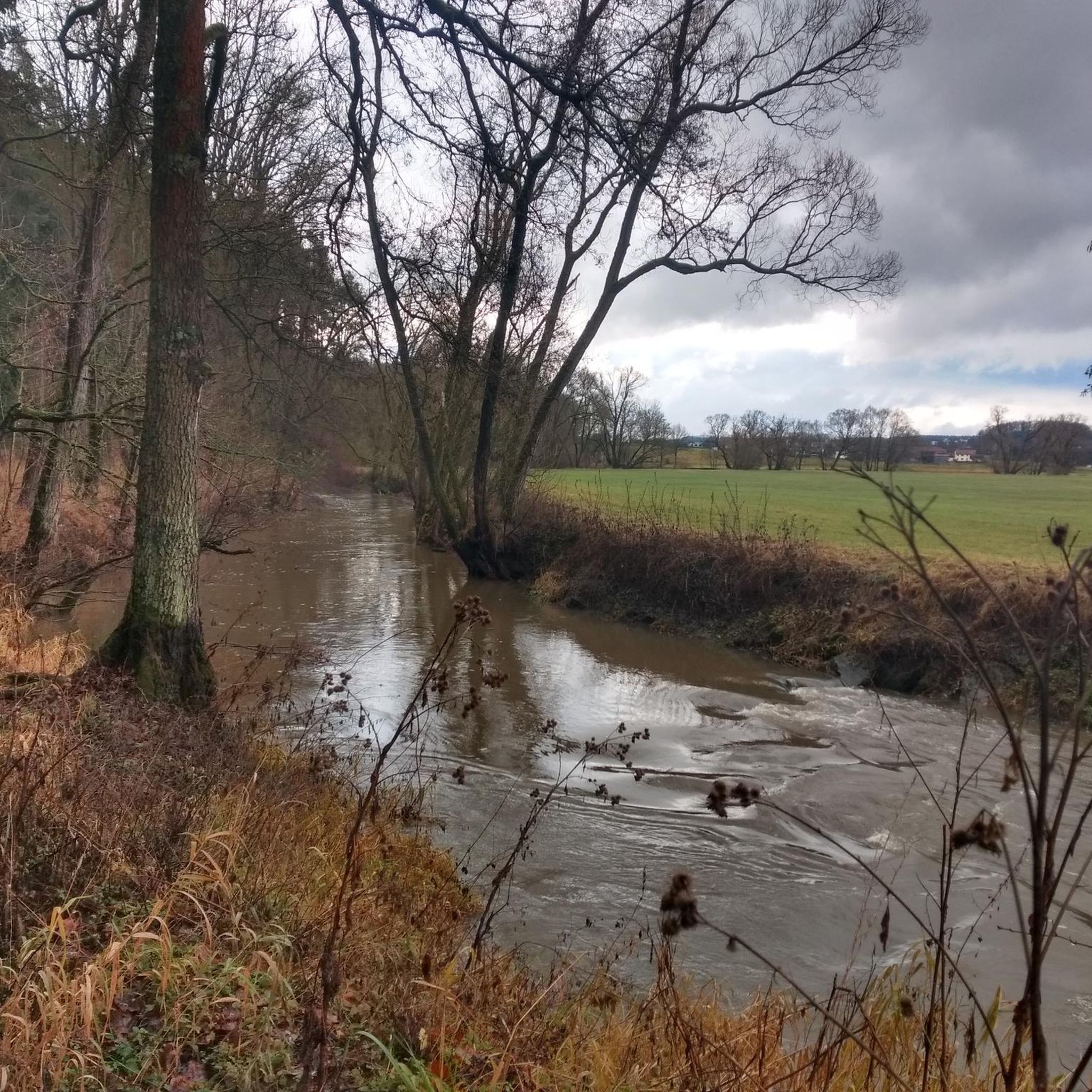
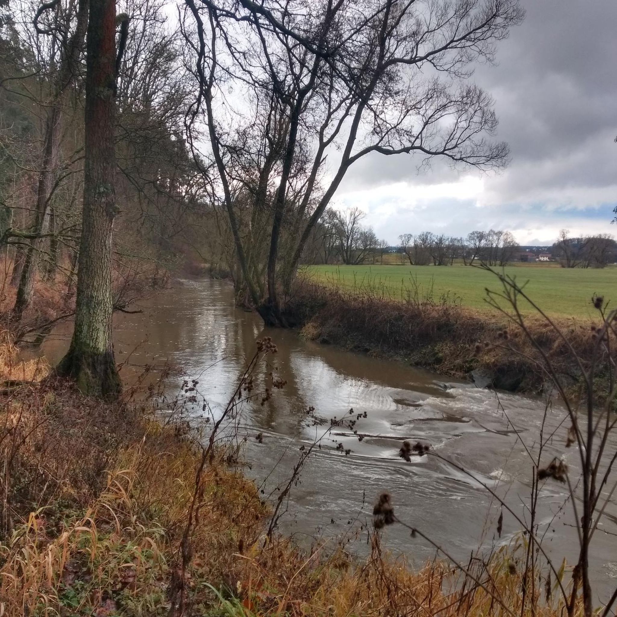
On the bank on the opposite side, there is a resting bench from which you have a direct view of the confluence of Mistelbach and Red Main.
12
0
The Richard Wagner Festival Theatre is located on the Grüner Hügel (Green Hill) in Bayreuth. Built between 1872-1875. A park with an idyllic lake and some benches adjoins the Festival Theatre. Every year, exclusively from July 25 to August 28, it is used as part of the Bayreuth Festival with operas or music dramas by Wagner in 30 performances. It is considered one of the opera houses with the best acoustics worldwide.
9
1

Possibly dismount and push the bike
0
0

The Roter Main is the longer of the two headwaters of the Main river and significantly shapes the cityscape of Bayreuth. The river owes its name to the clayey soils of its catchment area. Especially after rainfall, reddish clay particles are washed into the water, giving it a characteristic reddish-brown color. It originates in the Lindenhardter Forst in the Franconian Switzerland, about 10 kilometers south of Bayreuth. At around 72 to 73 kilometers, it is significantly longer than the Weißer Main. Near Kulmbach (Schloss Steinenhausen), it merges with the Weißer Main to form the actual Main river.
3
0
The Wiesenmühle (also called Unterkonnersreuther Mühle) is a historic grist and saw mill in Unterkonnersreuth, a district of Heinersreuth. It is located directly on the Roten Main river and looks back on a history of over 600 years. The mill was first documented in 1398 in the Landbuch A. Today's main building is a two-story building with a gable roof, bearing the year 1796, but is considerably older in its core. As a protected monument, it is an important testimony to the regional history of milling. For over ten generations (from 1603 to 1904), the mill was run by the Hähn/Hahn family. A tombstone of the miller Martin Hahn from 1701 can still be seen today at the baroque rectory in Bindlach. It formerly served as a combined grist and saw mill. The milling operation continued until 1963, while the sawmill was in operation until 1975. The entire 19th-century grain mill technology is excellently preserved over three floors. Today, the mill's water power is used for electricity generation.
3
0
The confluence of the Mistelbach (also simply called Mistel) and the Roter Main is an important water management and geographical point in Bayreuth. The Mistelbach flows into the Roter Main as a left tributary in the western part of Bayreuth, near the Volksfestplatz and the Rotmain-Center. While the watercourse is mostly called "Mistel" in the surrounding area, the designation "Mistelbach" is common within the city limits. For a long time, the Mistelbach was trapped in an artificial concrete bed. In recent years, however, parts of the stream have been renatured to allow fish to ascend via ramps and to improve the ecological condition. The area around the confluence is central to the city's flood protection. The Roter Main has been partially channelized in the urban area to prevent floods (like the severe flood of 1995).
6
0

from the bridge at the Rotmaincenter
0
0

stone bridge over the Red Main
0
1
Frequently Asked Questions
How many hiking trails are available in Heinersreuth?
Heinersreuth offers a diverse network of over 50 hiking routes, catering to various preferences and skill levels. These trails explore the region's rolling hills, green meadows, and dense forests.
What is the best time of year to go hiking in Heinersreuth?
The best seasons for hiking in Heinersreuth are spring and autumn. In spring, the Red Main River paths are particularly charming with blooming flora, while autumn offers vibrant colors across the landscapes of the Fichtelgebirge and Franconian Switzerland.
Are there easy hiking trails suitable for families or beginners?
Yes, Heinersreuth has over 30 easy routes perfect for families and beginners. Many of these are less demanding, such as riverside paths along the Red Main. A great option is the Lower Rotmain Riverside Trail – Historical Mill Altenplos loop from Heinersreuth, an easy 7.4 km path that follows the river.
Can I find circular hiking routes in Heinersreuth?
Absolutely. Many of the routes in Heinersreuth are circular, allowing you to start and end at the same point. For example, the Roter Hügel rock formation – 👹 Devil's Hole (Teufelsloch) loop from Altenplos is a popular 15.6 km circular trail featuring notable rock formations.
What kind of landscapes will I encounter on hikes around Heinersreuth?
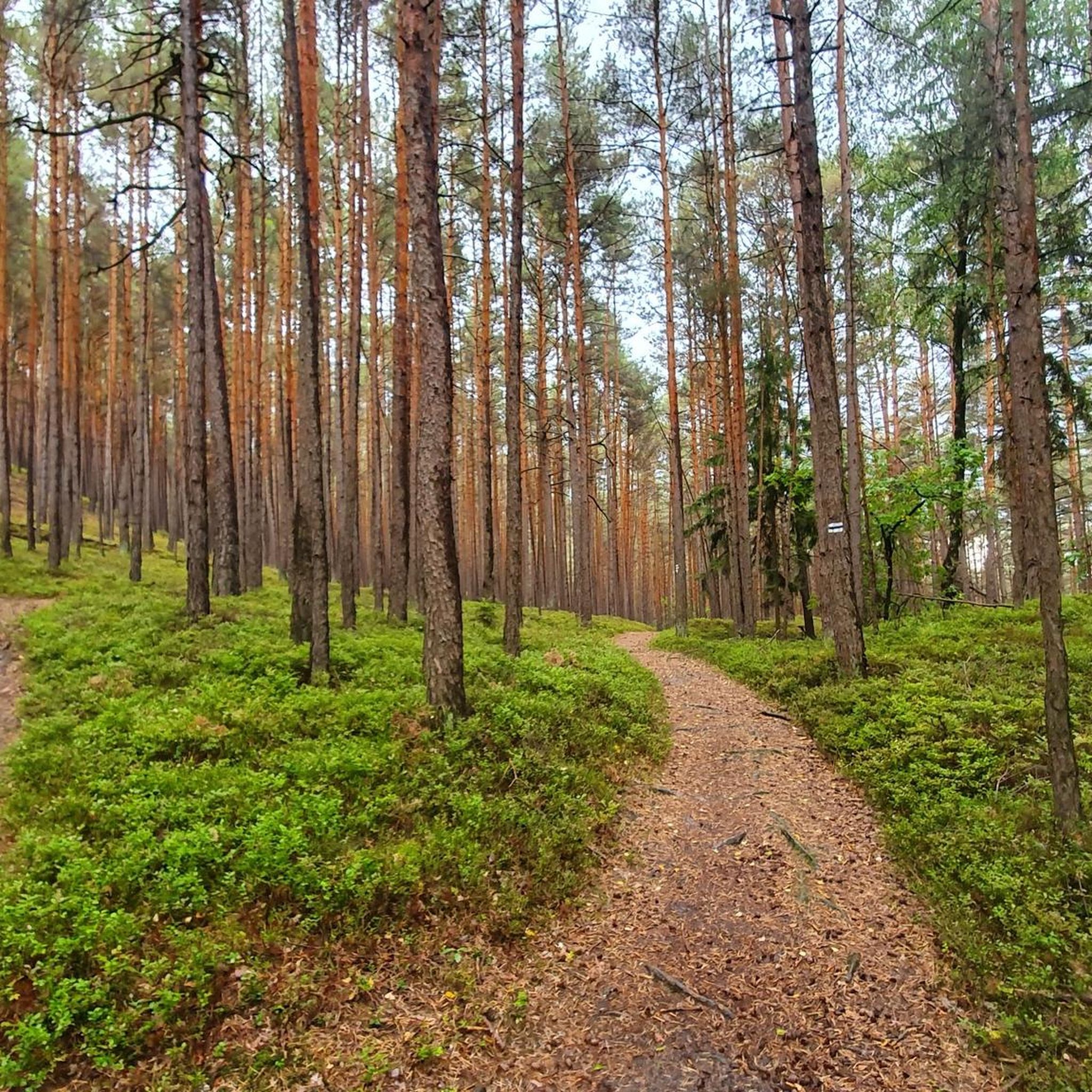
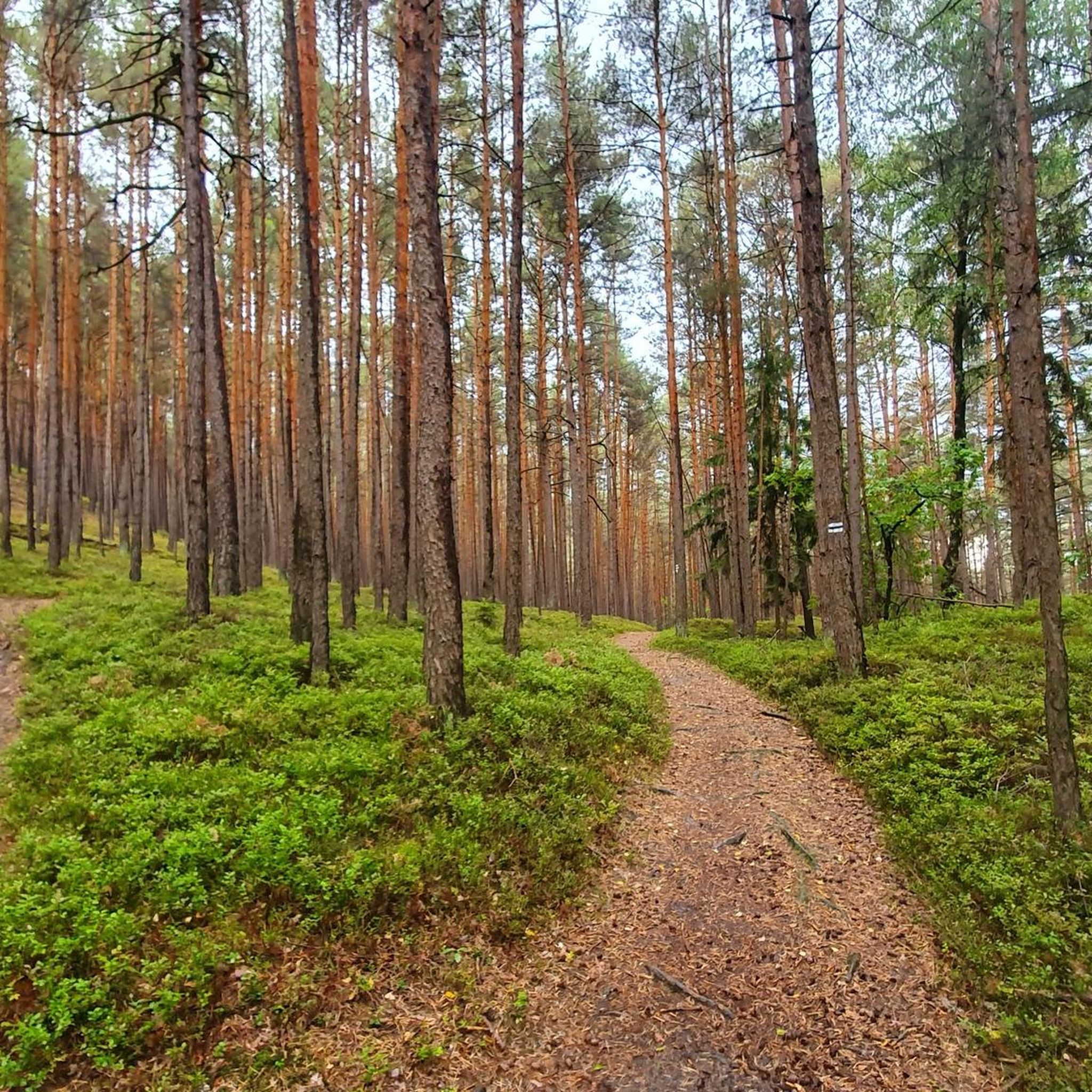
Hikes around Heinersreuth offer a varied landscape, from picturesque paths along the Red Main River to trails through rolling hills, green meadows, and dense forests. Some elevated routes also provide scenic views over the city of Bayreuth.
Are there any challenging hikes for experienced hikers?
While Heinersreuth is known for its accessible trails, there are a few more challenging options. The region also borders the Fichtelgebirge and Franconian Switzerland, which offer steeper mountains and more demanding terrain for experienced hikers seeking a greater challenge.
What are some notable attractions or viewpoints along the hiking trails?
Hikers can discover several interesting points along the trails. You might encounter natural features like the Viertelstein Rock Formation near Mistelbach or the Devil’s Hole Waterfalls. For panoramic views, consider routes that pass by the 🏛️ Victory Tower.
Are there any hikes that offer views of Bayreuth?
Yes, Heinersreuth's proximity to Bayreuth means some elevated routes provide excellent views over the 'Wagner city.' The View of Heinersreuth – Brillenbrücke loop from Heinersreuth is one such trail that offers scenic vistas.
What do other hikers say about the trails in Heinersreuth?
The hiking trails in Heinersreuth are highly rated by the komoot community, with an average score of 4.4 stars from over 180 reviews. Hikers often praise the diverse landscapes, the peaceful riverside paths, and the well-maintained forest trails.
Are there any routes that pass by historical sites or castles?
Yes, some routes lead past historical points of interest. For instance, the Neudrossenfeld Castle – Neudrossenfeld Brewery loop from Altenplos takes you past the historic Neudrossenfeld Castle. Additionally, the New Palace (Bayreuth Hermitage) is a notable nearby attraction.
Can I find hikes that include a stop at a beer garden or restaurant?
While specific pub stops are not always integrated into every route description, the Hochtheta Beer Garden – 🏛️ Victory Tower loop from Heinersreuth is an example of a trail that includes a beer garden, offering a pleasant break during your hike.
What is the typical duration for hikes in Heinersreuth?
Hike durations vary widely depending on the route's length and difficulty. Easy trails like the 7.4 km Lower Rotmain Riverside Trail – Historical Mill Altenplos loop from Heinersreuth can take around 2 hours, while longer, moderate routes such as the 15.6 km Roter Hügel rock formation – 👹 Devil's Hole (Teufelsloch) loop from Altenplos might take over 4 hours.
Most popular routes around Heinersreuth
Most popular attractions around Heinersreuth

Get inspired with the komoot mobile app


Explore more
Browse the best Hikes in other regions.
