The best road cycling routes in Guasca
4.8
(139)
6,878
riders
10
rides
Road cycling in Guasca offers diverse and challenging terrain, characterized by significant elevation changes and unique páramo landscapes. The region provides a network of routes that traverse high-altitude ecosystems, presenting both physical challenges and rewarding views. Cyclists can expect demanding climbs and descents through a rich natural environment. This area is well-suited for experienced cyclists seeking rigorous rides amidst varied topography.
Best road cycling routes in Guasca
- The most popular road cycling route is View of Bogotá from Patios –…
Last updated: July 28, 2026
4.9
(62)
1,663
riders
81.7km
03:45
810m
810m
Moderate road ride. Good fitness required. Mostly well-paved surfaces and easy to ride.
5.0
(3)
363
riders
59.5km
03:17
1,160m
1,160m
Hard road ride. Very good fitness required. Some segments of this route may be unpaved and difficult to ride.

Sign up for free
5.0
(4)
311
riders
48.1km
02:42
1,050m
1,050m
Hard road ride. Very good fitness required. Mostly well-paved surfaces and easy to ride.
5.0
(1)
153
riders
Moderate road ride. Good fitness required. Mostly well-paved surfaces and easy to ride.
5.0
(1)
127
riders
60.2km
02:53
770m
770m
Moderate road ride. Good fitness required. Mostly well-paved surfaces and easy to ride.
Get access to more routes and recommendations from other explorers.
Sign up for free
Already have an account?
Our route recommendations are based on thousands of hikes, rides, and runs completed by other people on komoot.
Start today with a free account
Your next adventure awaits.
Login or Signup

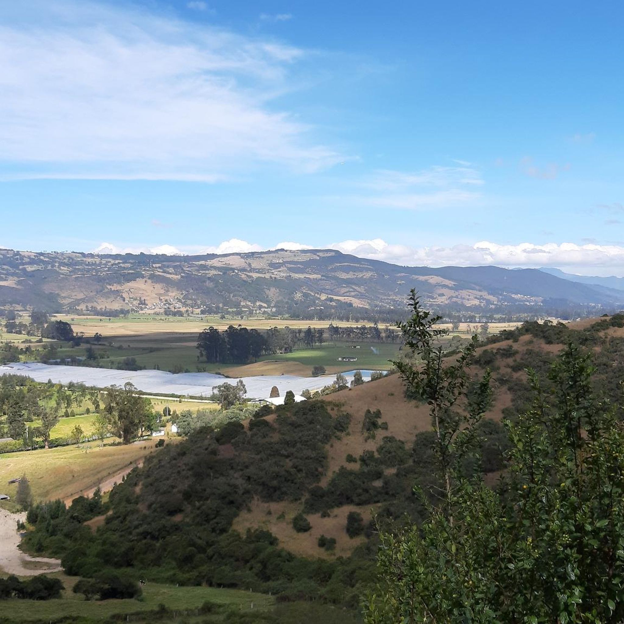
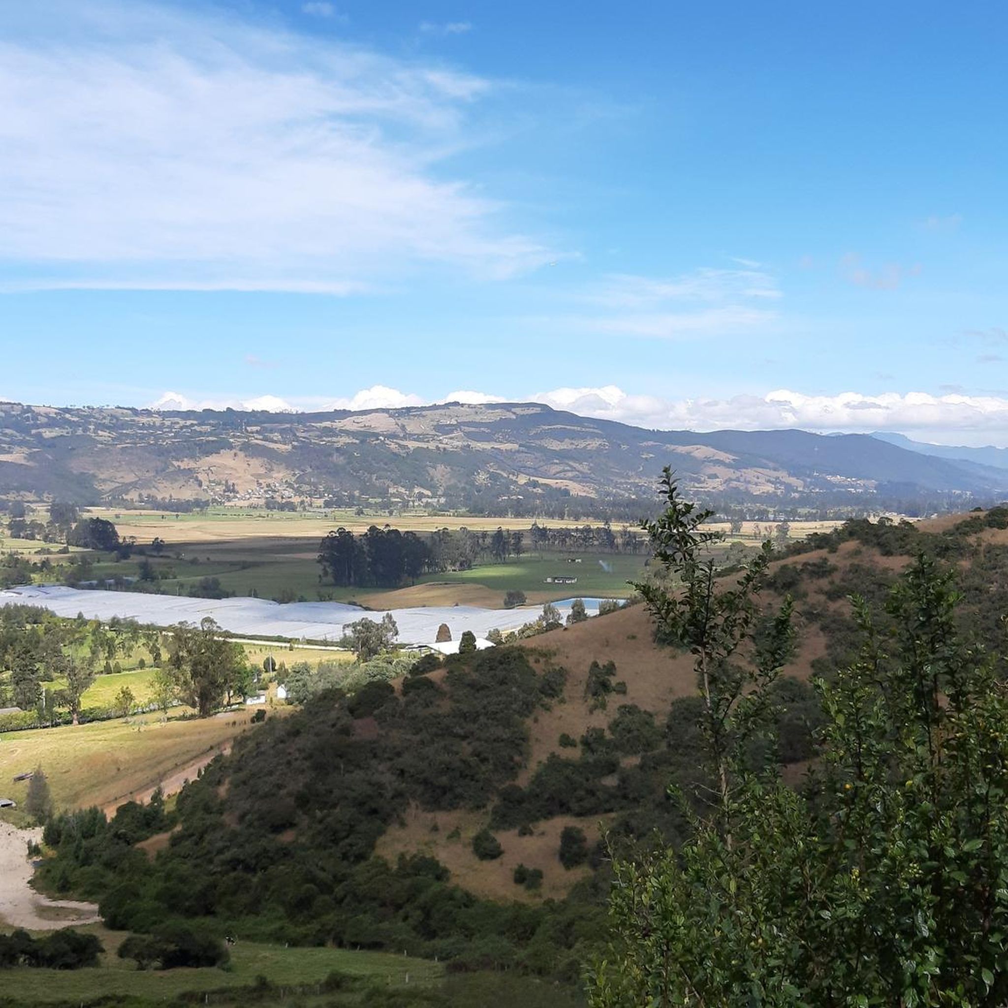
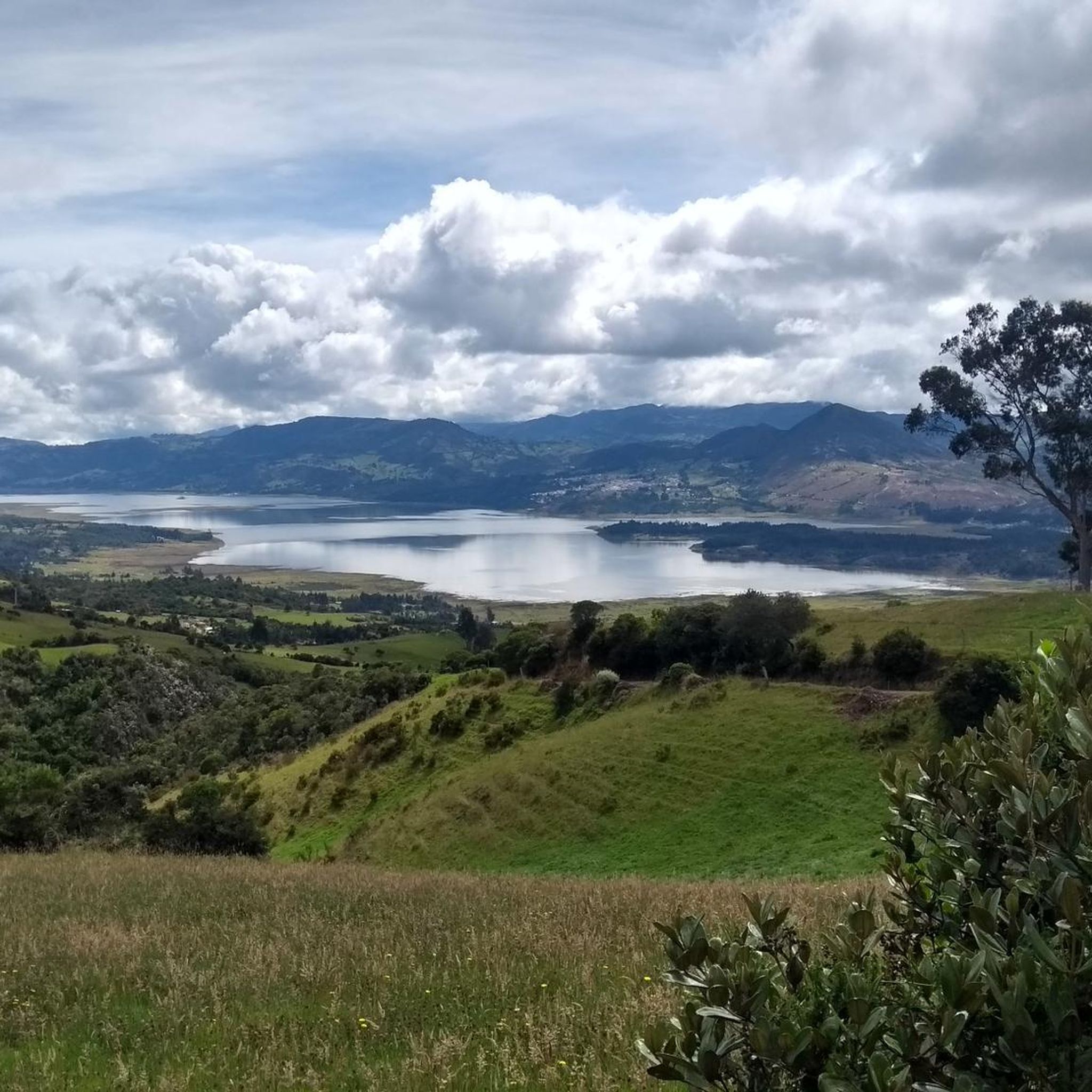

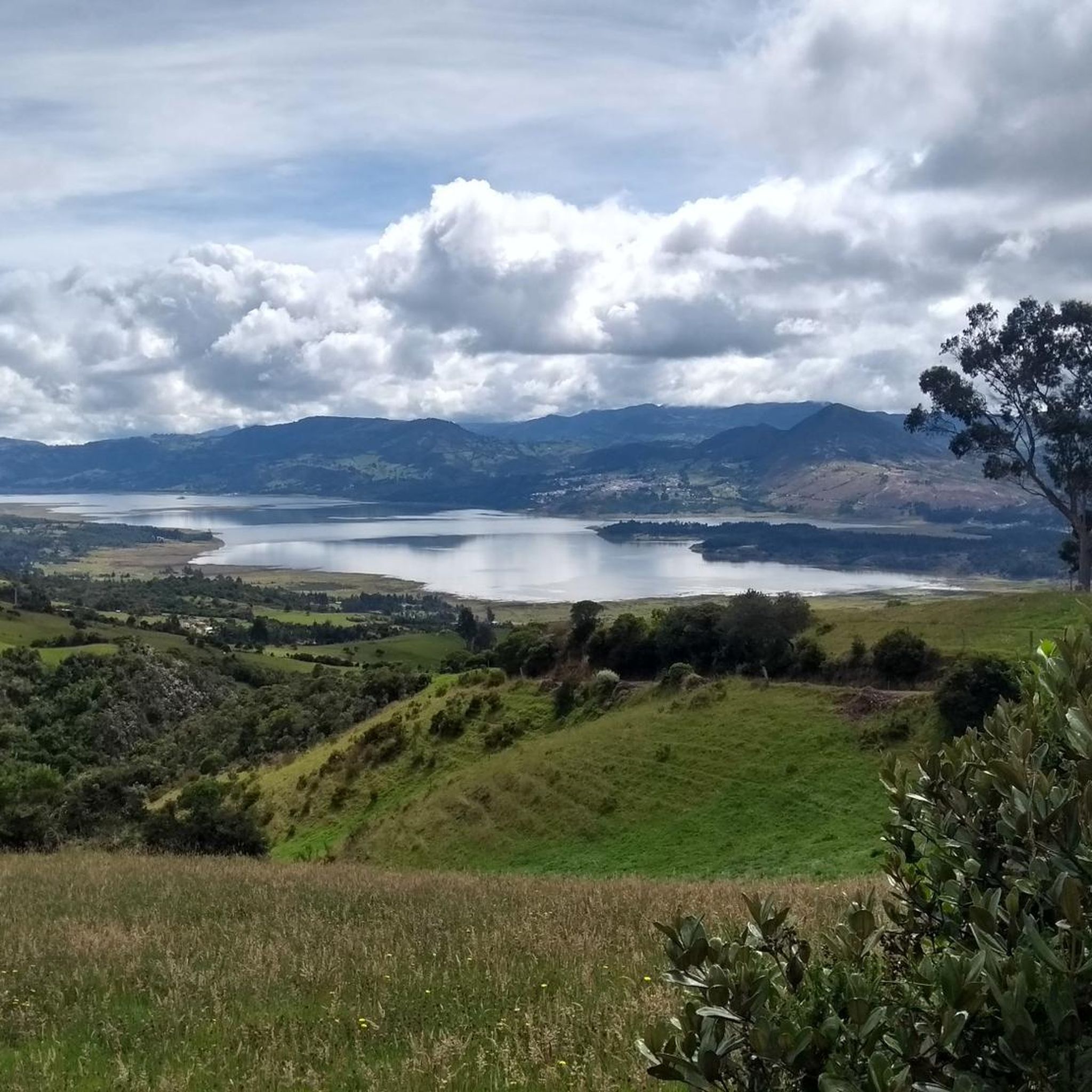
Other adventures in Guasca

Tips from the Community

Alto de los Patios offers countless dining options to enjoy Bogotá's sporting atmosphere. The area is usually very busy.
1
0

Beautiful scenery and medium difficulty. For gravel or mountain biking.
0
0


It is a road with a lot of vehicular flow, be careful!!! up there many places to have breakfast
1
0

Excellent climbing, recommended for Saturdays first thing in the morning.
0
0
Excellent route, for cyclists with some experience and moderate level.
0
0

Super exit, it can be by the Highway and return by Sesquilé (smoother) or by Patios round trip. And throughout the tour, many places for photos, coffee and snacks. Leaving strength if you return through Patios to climb Teusacá (almost 3 km at 7% average).
0
0

Detour going up to Alto de la Avena. 2.8km at 6% average. Poor quality asphalt full of holes, high crust that connects with a series of trails to Guasca and Guatavita (lagoon).
0
0
Frequently Asked Questions
What kind of terrain can I expect on road cycling routes in Guasca?
Road cycling in Guasca is characterized by diverse and challenging terrain, featuring significant elevation changes, demanding climbs, and rewarding descents. Many routes traverse unique páramo landscapes, offering a high-altitude ecosystem experience with often misty and ethereal atmospheres.
How many road cycling routes are available in Guasca?
Guasca offers a network of over 10 road cycling routes. These routes range from moderate to difficult, providing options for various ability levels, though even moderate routes can involve substantial elevation gain.
Are there challenging road cycling routes for experienced riders in Guasca?
Yes, Guasca is particularly well-suited for experienced cyclists seeking demanding rides. Routes like the Alto de La Cuchilla – Alto de la Cuchilla loop from Floresta de la Sabana and the Alto de la Cuchilla – Alto de La Cuchilla loop from Salitre feature substantial elevation gains and lead through challenging high-altitude terrain.
What are some scenic viewpoints along the road cycling routes in Guasca?
Many routes offer breathtaking scenery, especially those passing through the páramo landscapes. For specific views, consider routes that offer vistas towards Bogotá, such as the View of Bogotá from Patios – Patios Summit loop from Salitre. You can also find highlights like View of the Sopo Reservoir and Sopo and View of Embalse de Tominé.
Are there any circular road cycling routes in Guasca?
Yes, many of the road cycling routes in Guasca are designed as loops, allowing you to start and finish at the same point. Examples include the View of Tominé Reservoir – Desserts Ice Cream Shop, Guatavita loop from Guasca and the Alto de la Cuchilla – Alto de La Cuchilla loop from Guasca.
What kind of gear should I consider for road cycling in Guasca?
Given the significant climbs, descents, and high-altitude páramo conditions, it's advisable to be prepared. A road bike with appropriate gearing for ascents, good quality brakes for descents, and layers of clothing to adapt to changing weather (including potential mist and cooler temperatures at higher elevations) are recommended.
What natural features can I explore while road cycling in Guasca?
The region is renowned for its unique páramo landscapes, which are high-altitude ecosystems offering distinct flora and often misty, ethereal atmospheres. You'll also encounter various climbs, such as Alto de La Cuchilla and Yerbabuena Climb, and can find views of bodies of water like Tominé Reservoir.
What do other road cyclists enjoy the most about road cycling in Guasca?
The komoot community highly rates road cycling in Guasca, with an average score of 4.7 stars from over 150 reviews. Cyclists often praise the diverse terrain, the challenge of the climbs, and the immersive natural experiences offered by the páramo landscapes.
Are there any lakes or reservoirs visible from the road cycling routes?
Yes, some routes offer views of local water bodies. For instance, the View of Tominé Reservoir – Desserts Ice Cream Shop, Guatavita loop from Guasca provides scenic vistas of the Tominé Reservoir. Other highlights include Tominé Reservoir itself and views of the Sopo Reservoir.
What is the typical duration for road cycling routes in Guasca?
The duration varies significantly depending on the route's distance and difficulty. For example, a moderate route like the View of Bogotá from Patios – Patios Summit loop from Salitre, spanning 81.7 km, typically takes around 3 hours 45 minutes. More challenging routes, such as the 120 km Alto de la Cuchilla – Alto de La Cuchilla loop from Salitre, can take up to 7 hours.
Most popular attractions in Guasca

Get inspired with the komoot mobile app


Explore more
Browse the best Road cycling routes in other regions.
