The best MTB trails in Guasca
4.7
(198)
1,319
riders
34
rides
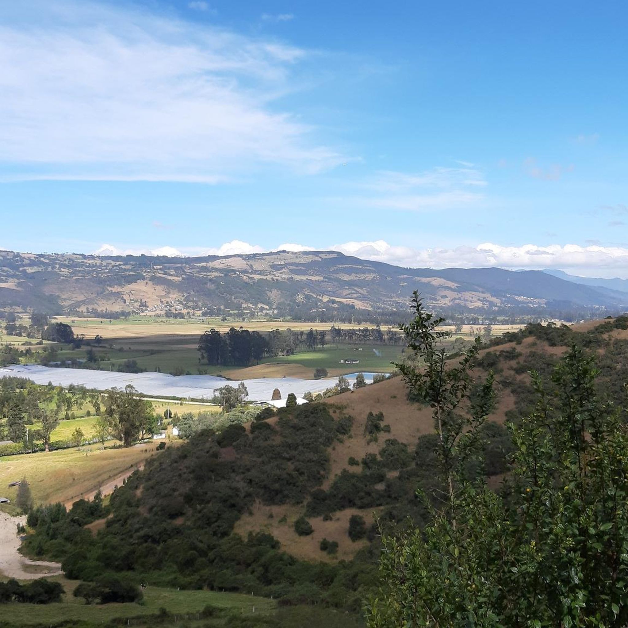
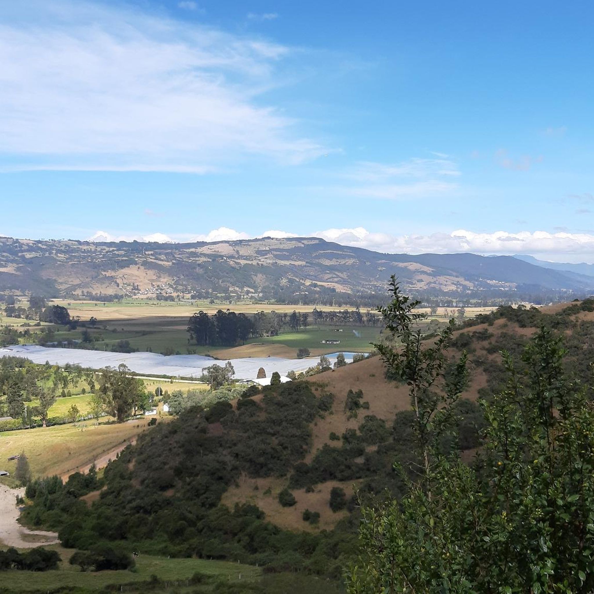
Mountain bike trails in Guasca are set within the Eastern Ranges of the Colombian Andes, offering diverse landscapes for riders. The region features Andean mountains, expansive valleys, and high-altitude páramo ecosystems. Rolling hills and varied terrain characterize the area, providing a challenging environment for mountain biking.
Best mountain bike trails in Guasca
- The most popular mountain bike trail is Alto de La Cuchilla – Páramo Landscape loop from Guasca, a 34.7 miles (55.8 km) trail that takes 5 hours…
Last updated: July 28, 2026
5.0
(1)
47
riders
55.8km
05:25
1,560m
1,560m
Hard mountain bike ride. Very good fitness required. Suitable for all skill levels.
30
riders
62.1km
06:31
1,760m
1,760m
Hard mountain bike ride. Very good fitness required. Advanced riding skills necessary.

Sign up for free
10
riders
70.8km
05:42
1,280m
1,280m
Hard mountain bike ride. Very good fitness required. Suitable for all skill levels.
10
riders
29.7km
02:43
720m
720m
Moderate mountain bike ride. Good fitness required. Suitable for all skill levels.
5.0
(1)
12
riders
18.1km
01:39
410m
410m
Moderate mountain bike ride. Good fitness required. Suitable for all skill levels.
Get access to more routes and recommendations from other explorers.
Sign up for free
Already have an account?
Our route recommendations are based on thousands of hikes, rides, and runs completed by other people on komoot.
Start today with a free account
Your next adventure awaits.
Login or Signup


Other adventures in Guasca

Tips from the Community

A super route ending at the Bear Mountain in a technical section to then enjoy a beautiful view of the Bogotá savannah and then a great descent
0
0
It is a steep climb on asphalt, a very good route for training.
0
0

hard, but beautiful
0
0


Great ride with my mates. The downhill in Montenquiva deserves respect. A friend fell and broke his clavicule. Apart from that incident the ride was awesome, the landscape breathtaking
0
0


Port with a manageable slope, it becomes hard at the end due to the altitude (3,500 meters) and the wind in the last km. Very cold up, and on the way down, I suggest a good jacket and FULL FINGER gloves.
0
0
Frequently Asked Questions
How many mountain bike trails are available in Guasca?
Guasca offers a network of over 35 mountain bike trails, catering to various skill levels. You'll find a mix of moderate and difficult routes, perfect for exploring the region's diverse landscapes.
What kind of terrain and landscapes can I expect on the mountain bike trails in Guasca?
The trails in Guasca traverse diverse landscapes, including the Eastern Ranges of the Colombian Andes, expansive valleys, and high-altitude páramo ecosystems. You can expect rolling hills, scenic single-tracks, off-road sections, and secondary roads, often leading through green vistas and sometimes near the entrance of Chingaza Natural Reserve.
Are there mountain bike trails suitable for beginners or families in Guasca?
While many trails in Guasca are rated as difficult, there are also moderate options available. For example, the Descent from Pionono to Sopó loop from Sopó is a moderate 29.8 km route, and the Alto Isla Morada loop from Sopó is a moderate 18.1 km ride. These routes offer a less demanding experience while still showcasing the region's beauty.
What are the typical durations for mountain bike rides in Guasca?
Ride durations vary significantly based on the trail's length and difficulty. For instance, difficult routes like the Alto de La Cuchilla – Páramo Landscape loop from Guasca can take around 5 hours 25 minutes, while moderate rides such as the Alto Isla Morada loop from Sopó might take closer to 1 hour 38 minutes.
What natural features or viewpoints can I see along the mountain bike trails?
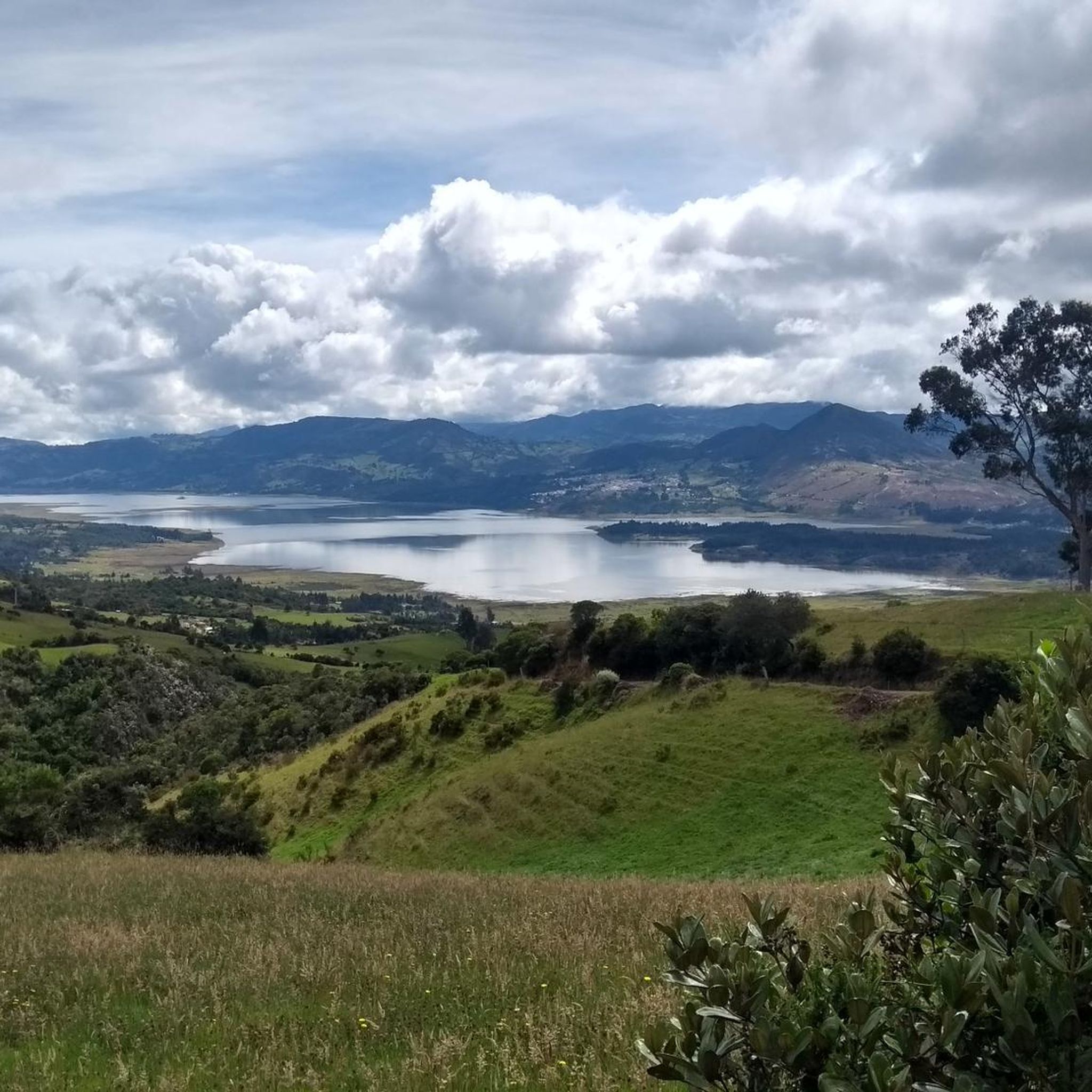
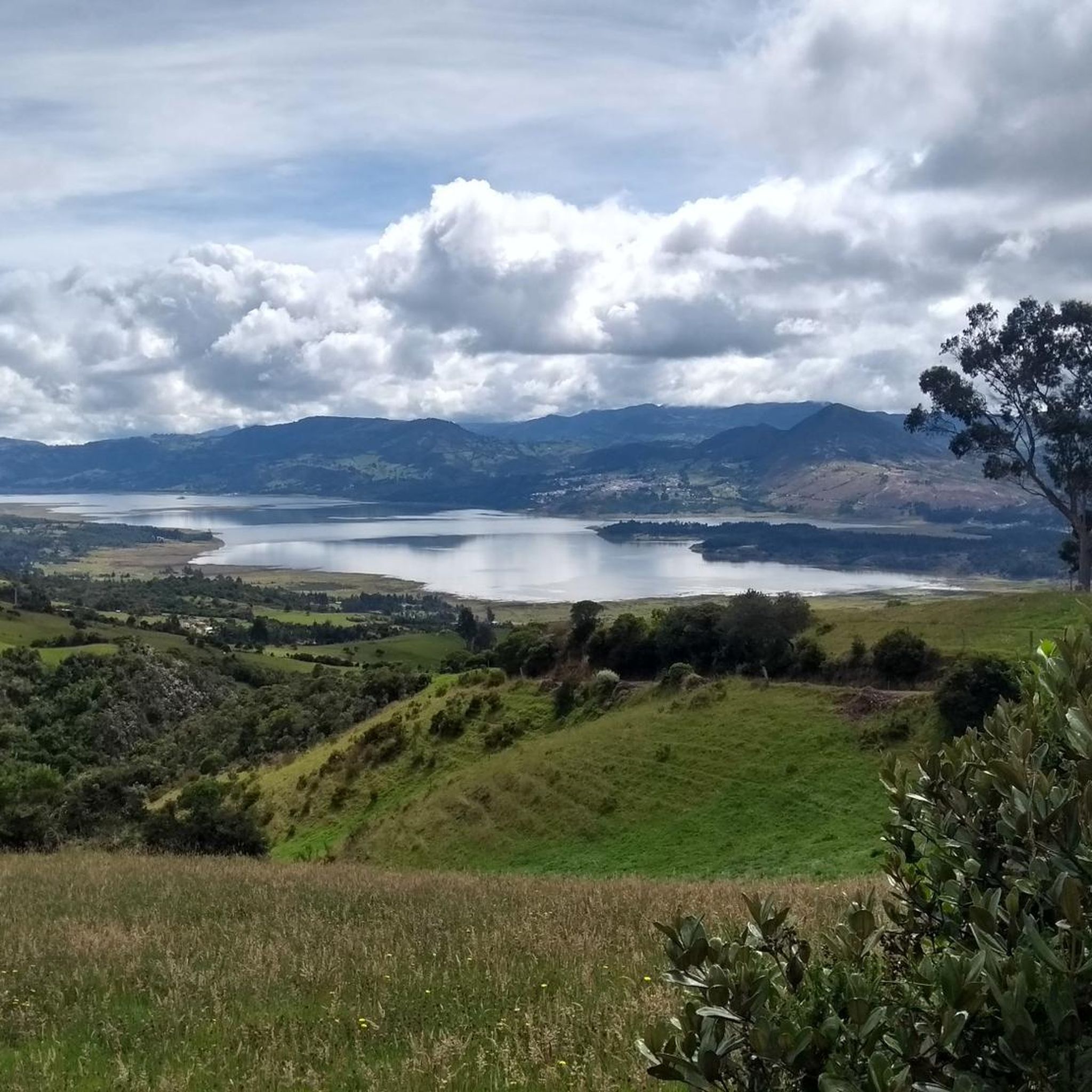
Guasca's trails offer stunning views of the Andean mountains and valleys. You might encounter significant climbs like Alto de La Cuchilla or Yerbabuena Climb. The region is also known for its páramo ecosystems and is close to water bodies like the Tominé Reservoir, offering picturesque viewpoints.
Are there any circular mountain bike routes in Guasca?
Yes, many of the mountain bike trails in Guasca are designed as loops, allowing you to start and finish at the same point. Examples include the Alto de La Cuchilla – Páramo Landscape loop from Guasca, the Loma de Armadillos – Páramo Landscape loop from Vereda Montecillo, and the Bear Mountain – Alto de Yerbabuena loop from Guasca.
What do other mountain bikers say about the trails in Guasca?
The mountain bike trails in Guasca are highly regarded by the komoot community, holding an average rating of 4.7 stars from over 200 reviews. Riders frequently praise the challenging terrain, the breathtaking Andean and páramo landscapes, and the rewarding experience of tackling significant elevation changes.
Is Guasca suitable for advanced mountain bikers looking for a challenge?
Absolutely. Guasca is an excellent destination for advanced mountain bikers. Many routes feature significant elevation gains and demanding terrain, such as the Loma de Armadillos – Páramo Landscape loop from Vereda Montecillo, which covers 64.5 km with an 1,840m elevation gain. These trails often require very good fitness and advanced riding skills.
What is the best time of year to go mountain biking in Guasca?
Guasca, located in the Eastern Ranges of the Colombian Andes, generally experiences a cool, temperate climate ideal for year-round exploration. However, it's always advisable to check local weather forecasts before your ride, as mountain weather can change rapidly.
Are there any specific regulations or permits needed for mountain biking in Guasca, especially near Chingaza National Park?
Some trails may lead close to or require access through areas like Chingaza Natural National Park. While specific permits for mountain biking on all trails are not universally required, it's always recommended to check with local authorities or park management for any specific regulations or permit requirements, especially if your route enters protected areas.
Can I find places to eat or stay near the mountain bike trails in Guasca?
Guasca is a charming colonial settlement, and as such, you can find amenities within the town itself. While specific cafes or accommodation directly on every trail might be limited, the town and surrounding areas offer options for refreshments and lodging, allowing you to enjoy the local culture after your ride.
Most popular attractions in Guasca

Get inspired with the komoot mobile app


Explore more
Browse the best MTB trails in other regions.
