The 7 Most Amazing Peaks around Neuweiler
Best mountain peaks around Neuweiler offer diverse outdoor experiences across a varied landscape. The region features significant elevations, including the highest points in the Enzkreis and Calw districts. These areas are characterized by forests, viewpoints, and a network of trails. The natural setting provides opportunities for exploring different environments and reaching notable summits.
Best mountain peaks around Neuweiler
- The most popular mountain peaks is Weithäusleplatz Junction, a trail that serves as a central meeting point and offers multiple route…
Last updated: October 23, 2026
Weithäusleplatz Junction
Highlight • Trail
Translated by Google •
Tip by

Weissenstein Hut
Highlight • Mountain Hut
Translated by Google •
Tip by

Sign up now to discover places like this
Get recommendations on the best single tracks, peaks, & plenty of other exciting outdoor places.
Heuberg – Highest Point of Enzkreis (709 m)
Highlight • Summit
Translated by Google •
Tip by
Weithäuslehütte Shelter and Trail Junction
Highlight • Mountain Hut
Translated by Google •
Tip by

Diebstich – Highest Point in Calw District
Highlight • Summit
Translated by Google •
Tip by
Sign up for free to discover even more peaks around Neuweiler.
Already have an account?
Start today with a free account
Your next adventure awaits.
Popular around Neuweiler
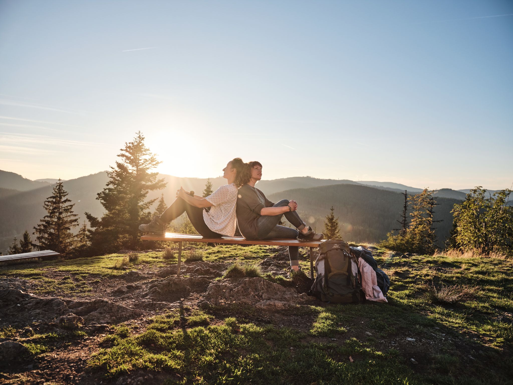
Hiking the Süden – between Black Forest, Lake Constance and Swabian Alb
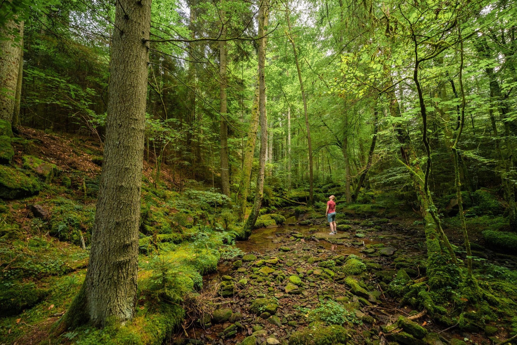
Superb adventures – the best hiking Tours in the Northern Black Forest
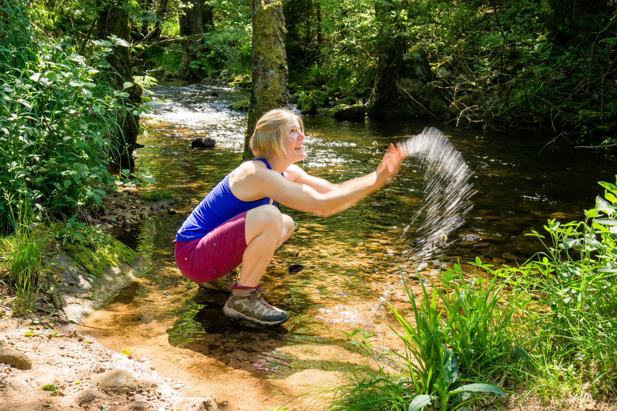
Hiking in the summer resort of the Northern Black Forest
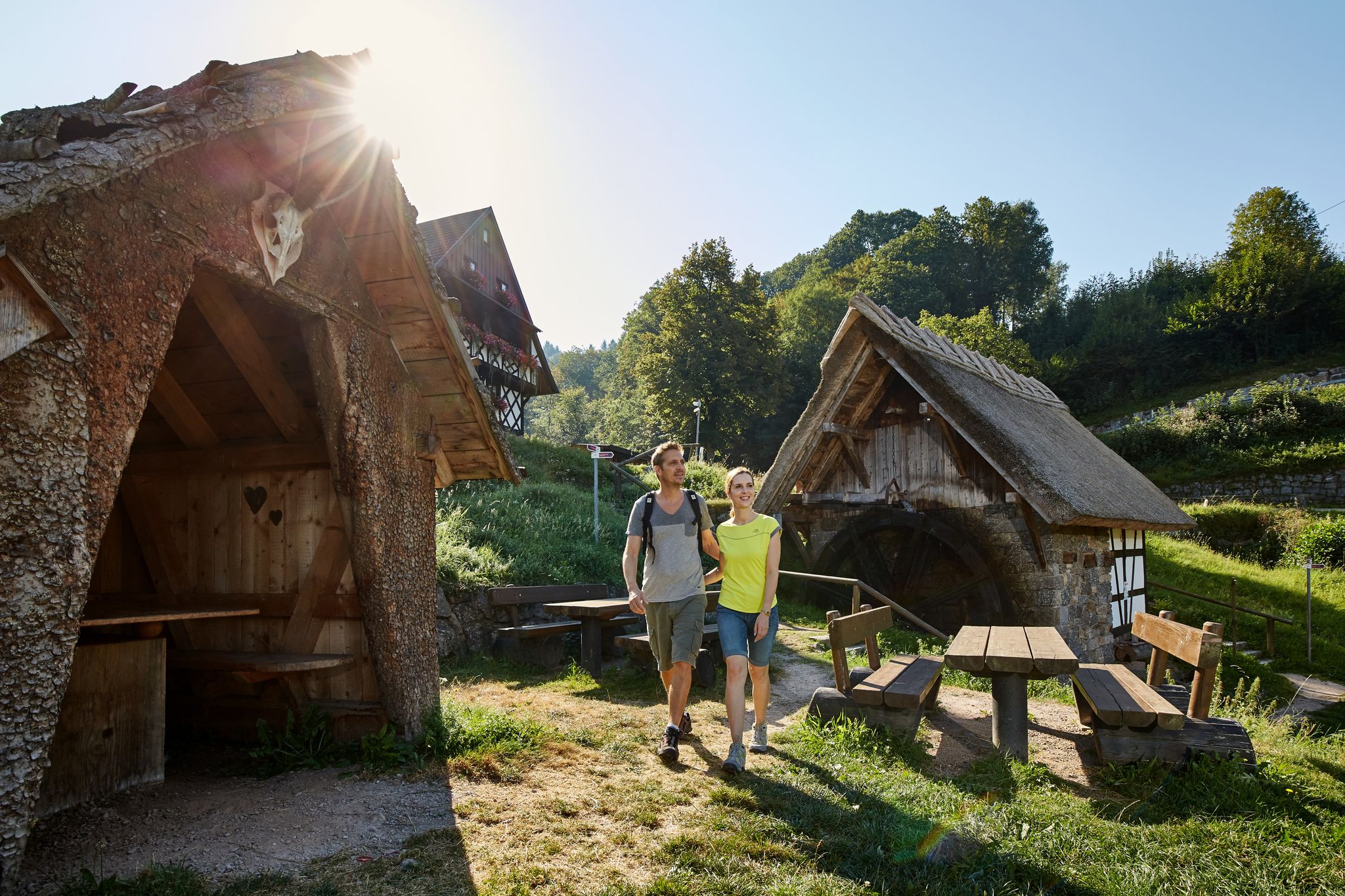
The best in the south: premium and quality hikes in Baden-Württemberg
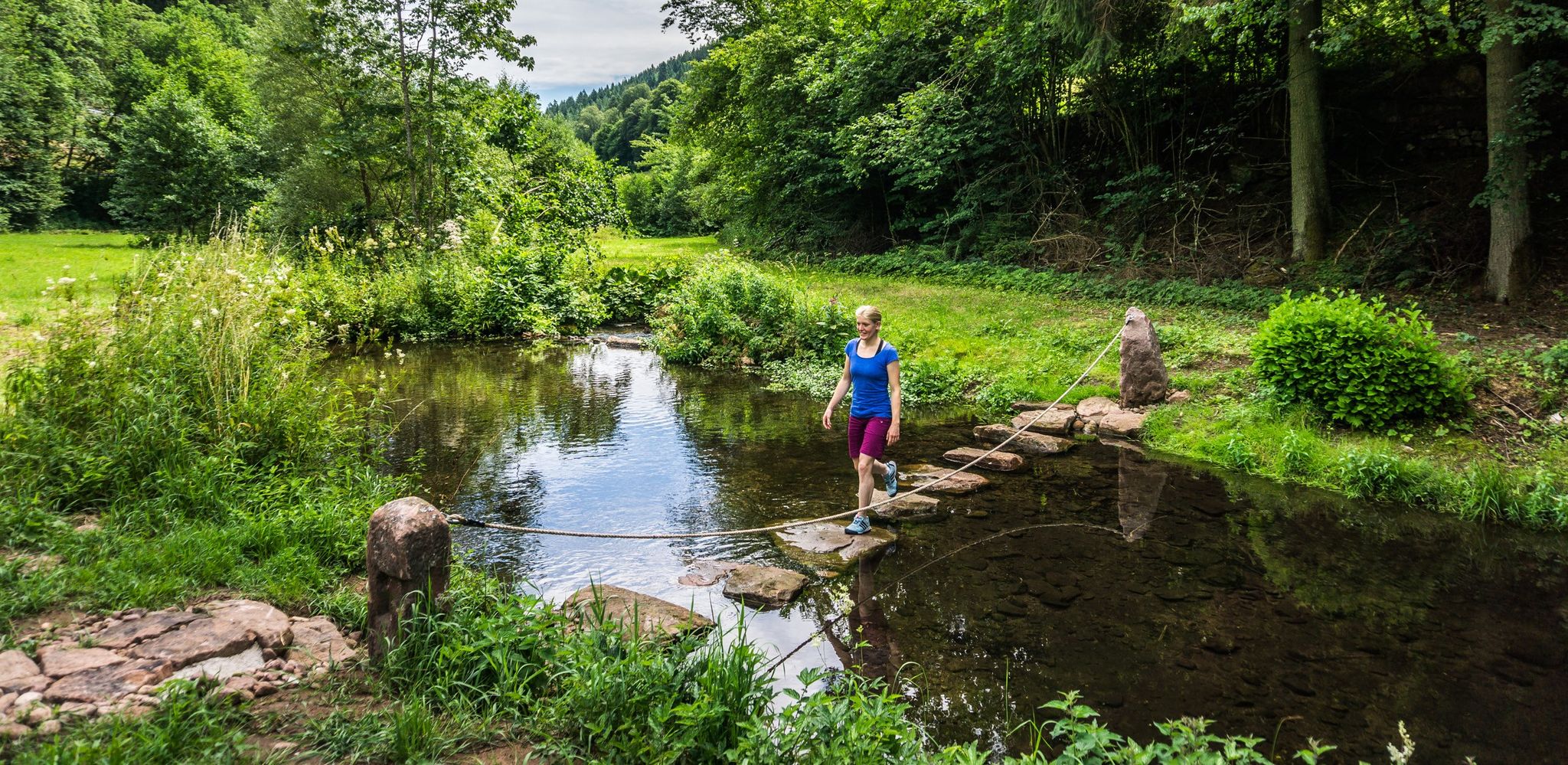
Hiking Worlds Teinachtal – a Black Forest trail paradise
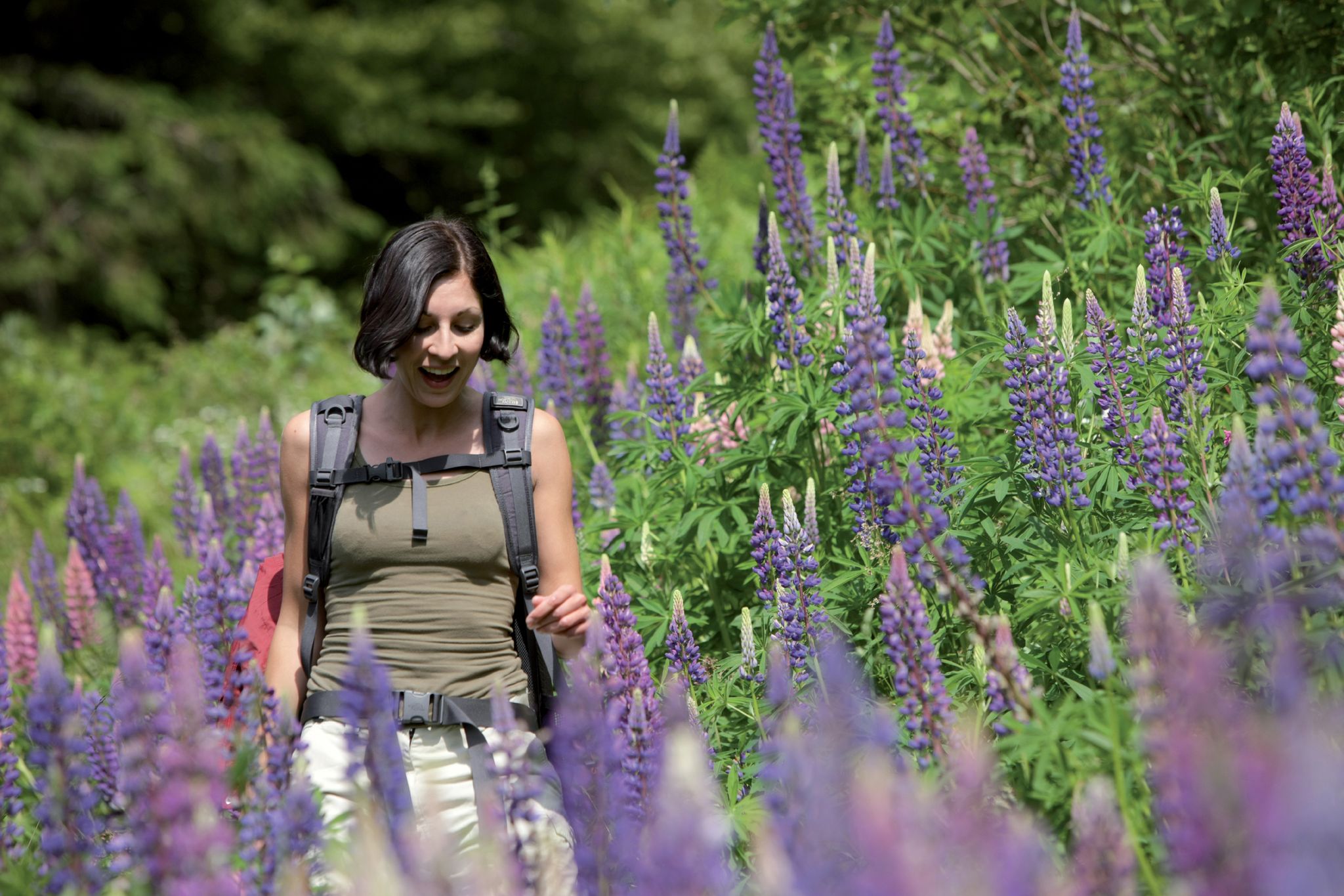
Exploring the Black Forest in Germany – fantastic trails & nature
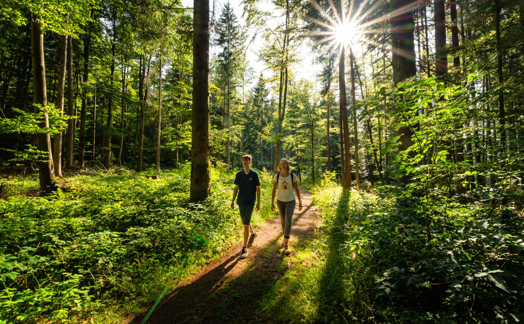
Vom Winterschlaf in die Wanderschuhe – Kurze Wanderstrecken zum Saisonstart
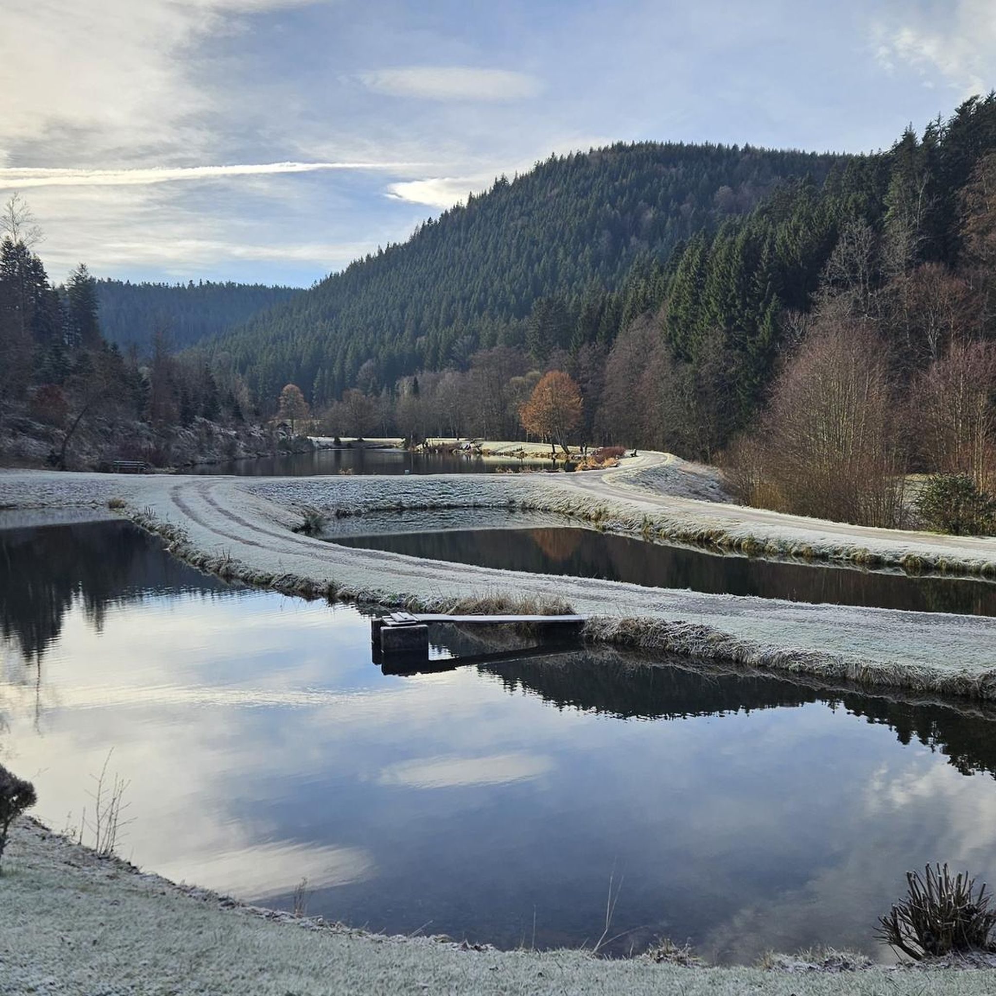
Hiking around Neuweiler
Cycling around Neuweiler

Gravel biking around Neuweiler
Other adventures around Neuweiler


Tips from the Community

Several options for resting or taking a break
0
0

The Diebstich, at an altitude of 960 meters above sea level, is the highest point in the district of Calw in Baden-Württemberg. It is located on a wooded ridge in the Northern Black Forest, directly on the historical border between Württemberg and Baden.
5
0

Unfortunately, it has now grown a bit overgrown and the view is no longer as clear as can be seen in the pictures (as of 02/2025)
0
0

This is not the exact highest point at 709.1 meters, but only the sign. If you follow the path towards Artusstein, you will walk towards the highest point in the Enzkreis.
2
0

The highest point of the LK Calws is at 960m above sea level - however, the view is blocked by trees. Closer to Kaltenbronn, you can catch a glimpse of the Enztal valley. Update (April 26): newly equipped with a bench and a cleared view!
0
0
The Heuberg, at 709.1 m above sea level (NHN), is the highest elevation in the Enzkreis district. However, this point is not located at the signpost, but in an inaccessible spot in the forest several hundred meters away.
8
0

Large crossroads with many possible routes coming together. Also a good shelter in case a sudden rain storm appears.
0
0

Diebstich at 960 meters is the highest point in the Calw district, unfortunately without a view
2
0
Frequently Asked Questions
Which mountain peaks around Neuweiler are suitable for families?
Several spots around Neuweiler are family-friendly. Weithäusleplatz Junction and Weithäuslehütte Shelter and Trail Junction are noted for being accessible and offering facilities. The Weissenstein Hut also provides a great resting place, ideal for breaks with children.
Where can I find the highest points in the districts around Neuweiler?
You can reach the highest point in the Enzkreis district at Heuberg (709 m). For the highest elevation in the Calw district, head to Diebstich (960 m). Both are significant landmarks, though views can sometimes be limited by forest cover.
Are there any shelters or rest areas available on the mountain trails?
Yes, you'll find convenient shelters and rest areas. The Weithäuslehütte Shelter and Trail Junction is a popular spot with seating and protection from the elements. Similarly, the Weissenstein Hut offers a great place to take a break, especially useful in wet weather.
What kind of natural features can I expect to see on the peaks?
The mountain peaks around Neuweiler are primarily characterized by dense forests. You'll encounter natural monuments like Heuberg and Diebstich. While some viewpoints offer glimpses, the experience is often about immersing yourself in the wooded landscapes and discovering trail junctions.
What do other visitors enjoy most about the mountain peaks near Neuweiler?
Visitors appreciate the diverse outdoor experiences. Many enjoy the network of trails that offer multiple route options from points like Weithäusleplatz Junction. The opportunity to find sheltered resting spots, such as the Weithäuslehütte, is also highly valued, especially at busy trail crossroads.
What outdoor activities can I do near these mountain peaks?
Beyond hiking, the region around Neuweiler is excellent for various cycling activities. You can explore numerous routes for road cycling, gravel biking, and general cycling. These guides offer diverse routes suitable for different skill levels.
Are there specific trails that are popular meeting points for hikers and bikers?
Yes, Weithäusleplatz Junction is widely recognized as a central meeting point for both mountain bikers and hikers. It's known for its friendly atmosphere and the many possibilities it offers for continuing your tour in various directions.
Can I find trails suitable for intermediate hikers around Neuweiler?
Many of the trails leading to and around the peaks, such as those near Heuberg and Diebstich, are classified as intermediate. These offer a good balance of challenge and reward for those with some hiking experience.
Are there any viewpoints on the mountain peaks around Neuweiler?
While many peaks are forested, some locations offer viewpoints. Weithäusleplatz Junction and Weissenstein Hut are listed as having viewpoints. However, be aware that at some highest points like Heuberg and Diebstich, the views can sometimes be obscured by trees.
What kind of facilities can I expect along the mountain trails?
You can find various facilities, particularly at key junctions and huts. Locations like Weithäusleplatz Junction and Weithäuslehütte Shelter and Trail Junction offer seating and shelter. The Weissenstein Hut also provides a comfortable spot for a break.
Are there any circular walks available in the Neuweiler mountains?
The region's trail network, with its numerous junctions like Weithäusleplatz Junction and Weithäuslehütte Shelter and Trail Junction, naturally lends itself to creating circular routes. These junctions serve as excellent starting or turning points for loops of varying lengths and difficulties.
Most popular routes around Neuweiler
Most popular attractions around Neuweiler

Get inspired with the komoot mobile app


Explore more
See even more amazing summits around Neuweiler with these guides:
