The best walks and hikes around Neuweiler
4.4
(748)
2,895
hikers
117
hikes
Hiking around Neuweiler offers access to the diverse landscapes of Germany's Northern Black Forest. The region is characterized by picturesque forests, rolling hills, and clear streams, providing varied terrain for outdoor activities. Extensive hiking trails Neuweiler Germany lead through these natural features, including unique high moor ecosystems and designated nature reserves. This area serves as a central point for exploring the wider Black Forest, with routes catering to different preferences and skill levels.
Best hiking trails in Neuweiler
- The most…
Last updated: October 2, 2026
4.7
(153)
495
hikers
15.7km
03:31
300m
300m
Moderate hike. Good fitness required. Easily-accessible paths. Suitable for all skill levels.
4.5
(52)
198
hikers
8.69km
02:34
260m
260m
Moderate hike. Good fitness required. Easily-accessible paths. Suitable for all skill levels.

4.5
(52)
222
hikers
11.1km
03:05
190m
190m
Moderate hike. Good fitness required. Easily-accessible paths. Suitable for all skill levels.
4.3
(29)
114
hikers
13.4km
03:46
280m
280m
Moderate hike. Good fitness required. Mostly accessible paths. Sure-footedness required.
4.5
(15)
63
hikers
11.3km
03:12
250m
250m
Moderate hike. Good fitness required. Easily-accessible paths. Suitable for all skill levels.
Get access to more routes and recommendations from other explorers.
Already have an account?
Our route recommendations are based on thousands of hikes, rides, and runs completed by other people on komoot.
Start today with a free account
Your next adventure awaits.
Popular around Neuweiler
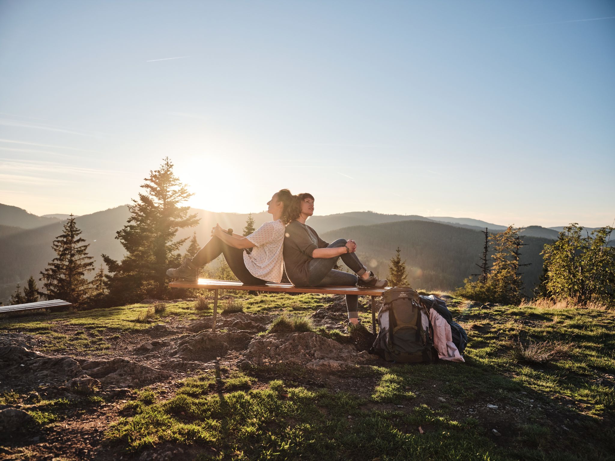
Hiking the Süden – between Black Forest, Lake Constance and Swabian Alb
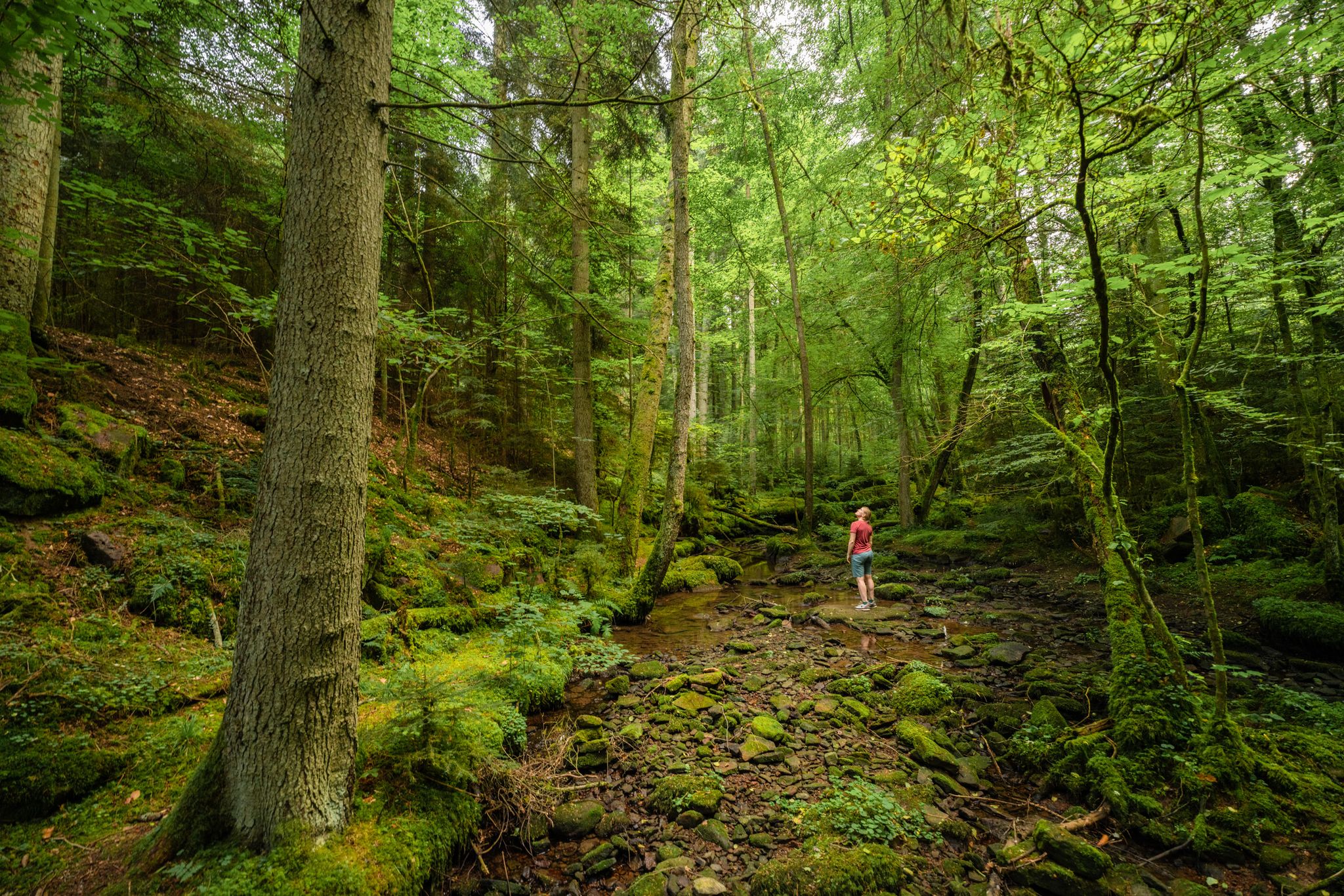
Superb adventures – the best hiking Tours in the Northern Black Forest

Hiking in the summer resort of the Northern Black Forest
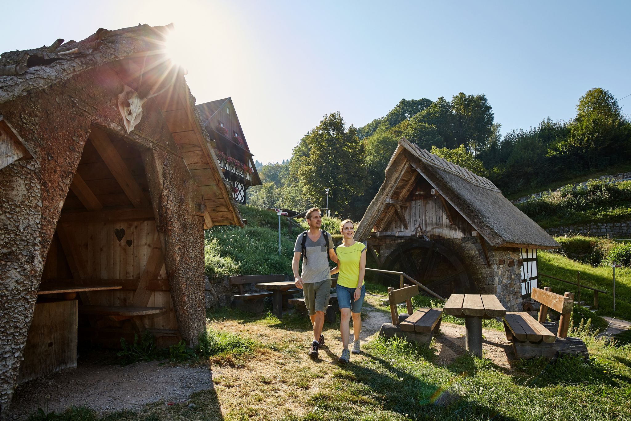
The best in the south: premium and quality hikes in Baden-Württemberg
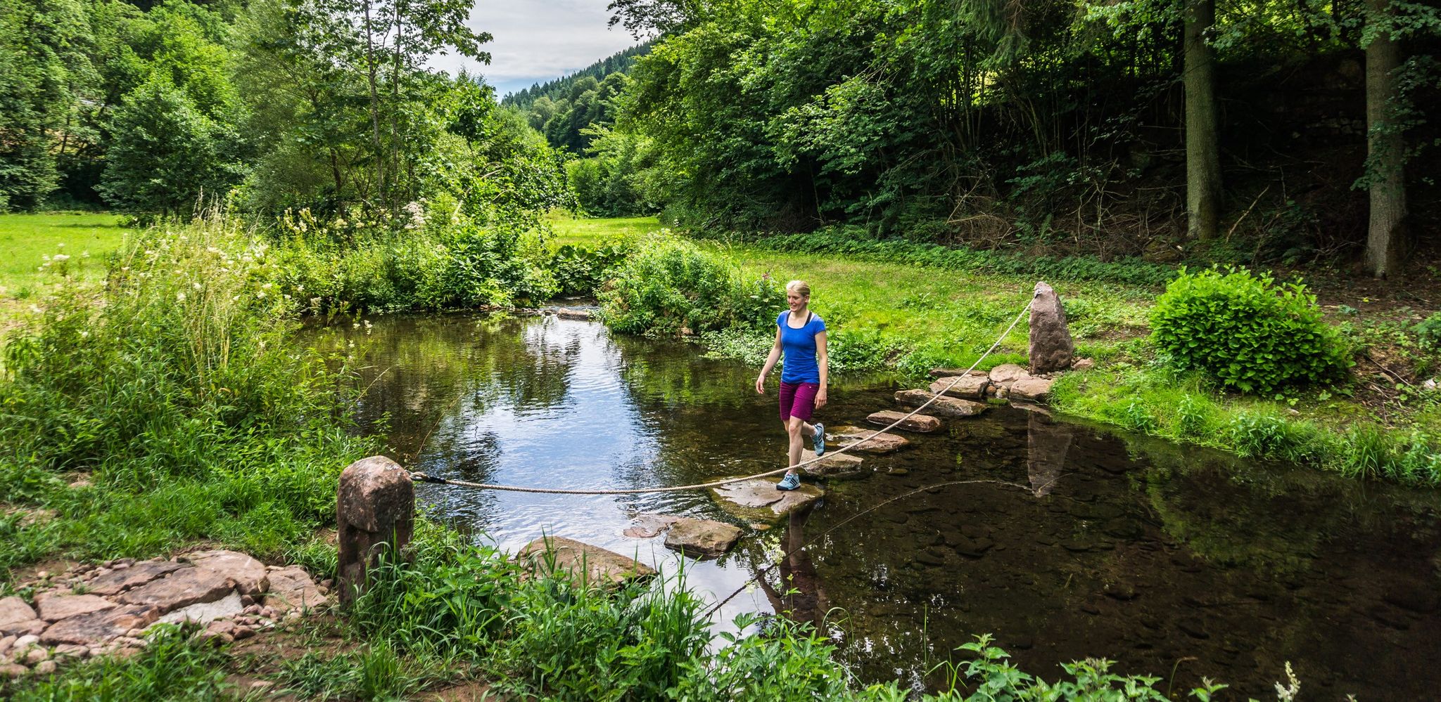
Hiking Worlds Teinachtal – a Black Forest trail paradise
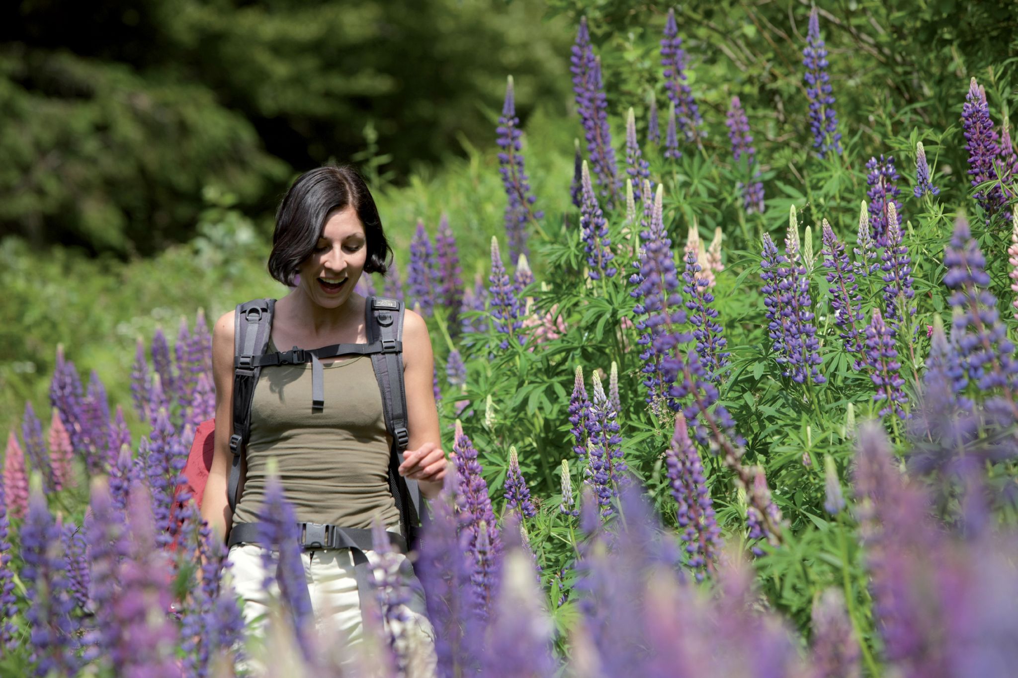
Exploring the Black Forest in Germany – fantastic trails & nature
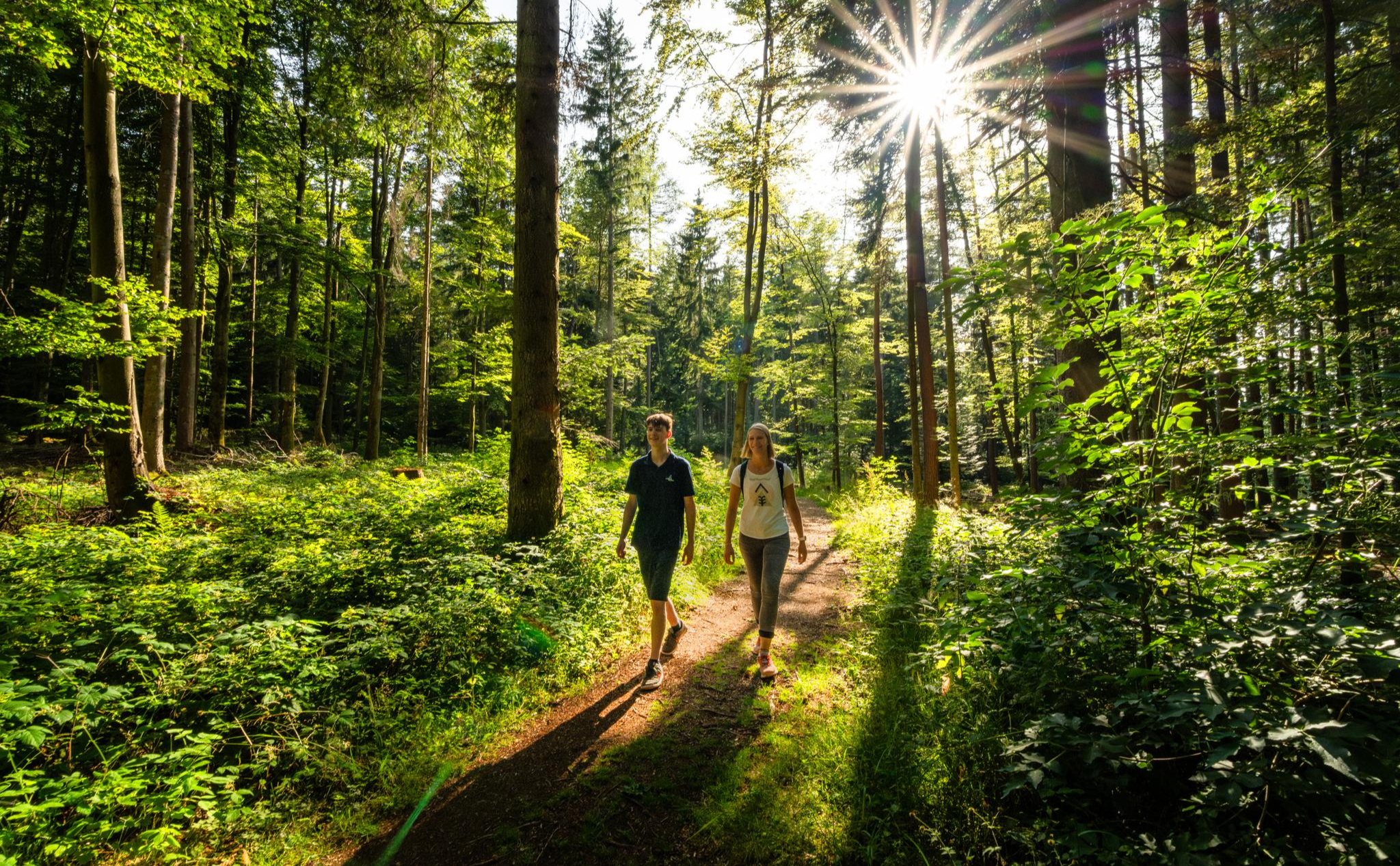
Vom Winterschlaf in die Wanderschuhe – Kurze Wanderstrecken zum Saisonstart
Cycling around Neuweiler

Gravel biking around Neuweiler
Road Cycling Routes around Neuweiler
Other adventures around Neuweiler


Tips from the Community

The Wäschbrunnen is a historic well and water source closely linked to the history of the towns of Hornberg and Zwerenberg. : In earlier times, the Wäschbrunnen served as an important, last resort during great heat and drought. When other wells and cisterns in the region no longer held water, this spot continued to supply water. The spring was actively used by the inhabitants as a washing place. It was thus an important place for life and encounters in everyday life.
4
0
Burg Hornberg is a hilltop castle ruin built in the 13th century. It was built by the Lords of Fautsberg. In 1252, a Heinrich first named himself after it. Later, Baden and Württemberg shared the ownership, which is why the reformer Johannes Brenz was able to hide here in 1548. After the Reformation, the complex gradually fell into disrepair. In 1603, the House of Baden sold its share of the castle, along with the town of Altensteig, entirely to Württemberg. The castle remained a ruin for a long time. From 1958 onwards, the distinctive, square bergfried was rebuilt. Today, the site serves as a forest school.
5
0
Viewpoint with a view of the surrounding area, as well as a panorama board with descriptions of the most striking places and elevations visible from here, as part of the AugenBlick-Runde Altensteig Hornberg.
4
0

A sign hangs on the castle wall stating that the Waldschulheim (Forst BW) Burg Hornberg is not a public facility, but comparable to a school building. We therefore ask for your understanding if you are not allowed to enter the grounds.
11
0
Today on Sunday with great weather, it was very busy. Even the parking lots were scarce.
5
0
The Augenblickrunde also leads past here. The prominent viewpoints are marked on the board. Unfortunately, the board has aged in the meantime and should be refurbished. Some seating is available next to it. Behind it is a large memorial stone on which an eagle is enthroned. A plaque commemorates in honor of those fallen by name from 1939-1945.
10
0
From the parking lot, at the highest point at 706m altitude, you have a fantastic view towards Schönbuch and the Swabian Jura.
9
0
After the stream crossing, a narrow path leads upwards to a wider trail that runs along the Köllbach.
11
0
Frequently Asked Questions
How many hiking trails are available around Neuweiler?
Neuweiler offers an extensive network of over 100 hiking trails. These routes cater to various preferences, ranging from easy strolls to more challenging moderate hikes through the picturesque Black Forest landscape.
Are there easy hiking options suitable for beginners in Neuweiler?
Yes, Neuweiler is very welcoming for beginners and those seeking easier walks. More than half of the trails, specifically over 60 routes, are classified as easy. An example is the Holzwiesen Hut – Old Weir on the Kleine Enz loop from Agenbach, which is an easy 6.8 km path.
What kind of natural features can I expect to see on hikes in Neuweiler?
Hikes in Neuweiler showcase the diverse beauty of the Northern Black Forest, featuring lush forests, rolling hills, and clear streams. A unique highlight is the Wildsee raised bog, an idyllic lake within a high moor, which can be explored via a plank path with informational boards. You might also encounter the Rötelbach Valley.
Are there any circular hiking routes in Neuweiler?
Yes, many of Neuweiler's trails are designed as circular routes, allowing you to start and end at the same point. A popular option is the Neuweiler – Agenbach nature park loop, a moderate 8.7 km path that takes you through a nature park and offers views of the Kleinen Enz river valley.
Where can I find panoramic views during my hike?
Neuweiler boasts several 'AugenBlick' (Eye-Catch) viewpoints that offer breathtaking panoramic vistas. The Neuweiler – Oberkollwangen nature park loop is a great option, leading towards such viewpoints. The AugenBlick Oberkollwangen, for instance, provides expansive views of the Black Forest and sometimes even the Swabian Alb.
Are there family-friendly attractions or activities along the hiking trails?
Absolutely. For families, the Sommerberg Black Forest Treetop Walk near Bad Wildbad offers a unique perspective of the forest. Additionally, the Wildsee raised bog has an educational plank path. You can also find adventure playgrounds and designated grill areas, such as those near the Blockhütte in Breitenberg, perfect for breaks.
What do other hikers say about the trails in Neuweiler?
The hiking trails in Neuweiler are highly regarded by the komoot community, with an average rating of 4.4 out of 5 stars from over 600 reviews. Hikers frequently praise the well-maintained paths, the serene beauty of the forests, and the diverse natural features encountered along the routes.
Are there any educational trails in the Neuweiler area?
Yes, Neuweiler offers educational trails for those interested in learning more about the local environment. The Erdwärmelehrpfad (Geothermal Educational Trail) provides insights into geothermal energy, and there's also a dedicated nature and forest educational trail that explores the region's flora and fauna.
Can I find places to rest or have a picnic during my hike?
Yes, Neuweiler provides several designated grill and adventure playgrounds, such as those near the Blockhütte in Breitenberg and by the Viehstelle in Oberkollwangen. These spots are ideal for taking a break, enjoying a picnic, or letting children play.
What is the longest moderate hike available in Neuweiler?
One of the longer moderate hikes is the Forest air and treetop views hike, which spans approximately 13.3 km and typically takes around 3 hours 45 minutes to complete. It offers a good balance of distance and scenic beauty.
Are there any historical landmarks to discover while hiking?
Yes, you can encounter historical elements like the Hindenburgbrunnen in Gaugenwald, a historic fountain dating back to 1934, which features naturally flowing water and can be found along various hiking routes.
Most popular routes around Neuweiler
Most popular attractions around Neuweiler

Get inspired with the komoot mobile app


Explore more
Browse the best Hikes in other regions.
