The best cycling routes in Toca
4.6
(9)
104
riders
3
rides
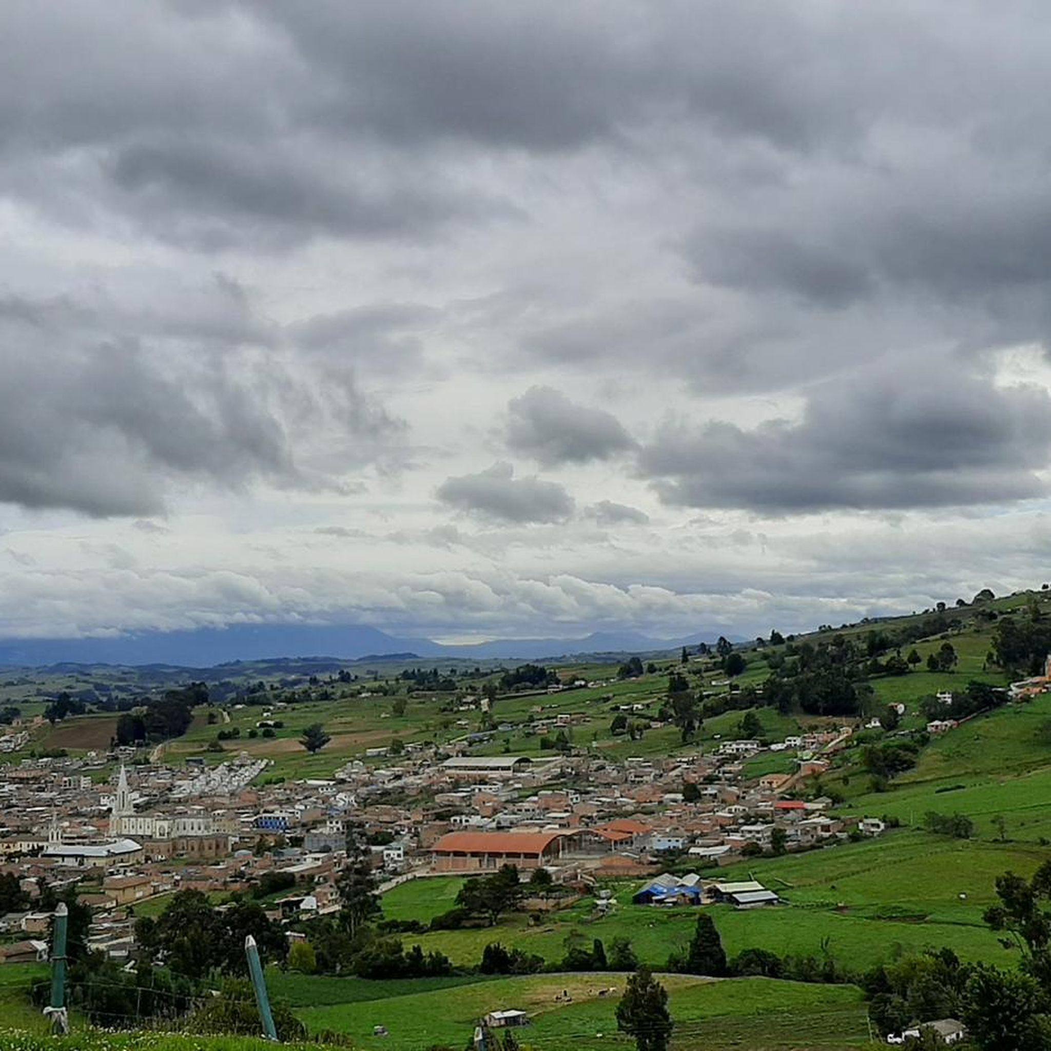
Touring cycling in Toca, located in the Boyacá Department of Colombia, offers routes through mountainous terrain with significant elevation changes. The region features high-altitude passes, including Curies Summit at 2900 meters above sea level, and diverse ecosystems. Cyclists can experience varied landscapes, from challenging climbs to scenic areas around the Embalse de la Copa reservoir. The topography provides a rewarding environment for cycling, influencing both the climate and natural beauty.
Best touring cycling routes in Toca
- The most popular touring…
Last updated: July 28, 2026
4.5
(4)
40
riders
33.2km
02:25
530m
530m
Hard bike ride. Very good fitness required. Mostly paved surfaces. Suitable for all skill levels.
4.3
(3)
25
riders
70.1km
05:39
1,060m
1,060m
Hard bike ride. Very good fitness required. Mostly paved surfaces. Suitable for all skill levels.

Sign up for free
22
riders
52.4km
03:56
980m
980m
Hard bike ride. Very good fitness required. Mostly paved surfaces. Suitable for all skill levels.
5.0
(2)
8
riders
44.5km
03:07
630m
630m
Hard bike ride. Very good fitness required. Mostly paved surfaces. Suitable for all skill levels.
4
riders
48.3km
04:36
960m
960m
Hard bike ride. Very good fitness required. Mostly paved surfaces. Suitable for all skill levels.
Our route recommendations are based on thousands of hikes, rides, and runs completed by other people on komoot.
Start today with a free account
Your next adventure awaits.
Login or Signup
Popular around Toca
Frequently Asked Questions
What kind of terrain can I expect when touring cycling in Toca?
Toca is characterized by its mountainous terrain and significant elevation changes, making it a rewarding destination for touring cyclists. You'll encounter challenging climbs, high-altitude passes like the Curies Summit, and diverse landscapes ranging from peaks to serene lakes. The region's topography ensures a varied and engaging cycling experience.
Are there any routes with significant climbs or high-altitude passes?
Yes, Toca is well-known for its challenging climbs and high-altitude passes. The Curies Summit, reaching 2900 meters above sea level, is a particularly popular and iconic climb for cyclists. Routes like the Alto de Curies – Cerro de Bolivar loop from La Misericordia de Dios specifically incorporate this notable summit, offering substantial elevation gain and panoramic views.
What natural features or landmarks can I see along the touring cycling routes in Toca?
Toca offers a wealth of natural beauty and interesting landmarks. You can cycle past the stunning Embalse de la Copa (La Copa Reservoir), known for its beautiful sunrises and sunsets. The region also boasts various waterfalls, lakes, and mountains. Key points of interest include the Curies Summit, and various trails like the Junction to 4 Esquinas and Guatika that connect to historical sites.
Are there any circular touring cycling routes in Toca?
Yes, several touring cycling routes in Toca are designed as loops, allowing you to start and end at the same point. Examples include the Work loop from Oicatá, which is a difficult 20.6-mile (33.2 km) trail, and the Reserva Natural Montecito – Cicua loop from La Misericordia de Dios, covering 32.6 miles (52.4 km) through diverse ecosystems.
What is the best time of year to go touring cycling in Toca?
Toca experiences average temperatures ranging from 12 to 20 degrees Celsius, making it suitable for cycling throughout much of the year. However, due to its high elevation, conditions can vary. It's always advisable to check local weather forecasts before your ride, especially if planning to tackle high-altitude passes, to ensure optimal conditions.
Are there any places to stop for food or drinks along the cycling routes?
Yes, the region is cyclist-friendly. A notable spot is the Cyclists' Stop in Pesca, located near the main fishing park. This cafe is a popular resting point where you can enjoy local snacks like empanadas and cassava cakes, perfect for refueling during your ride.
What do other touring cyclists enjoy most about cycling in Toca?
The touring cycling routes in Toca are highly rated by the komoot community, with an average score of 4.6 stars from more than 5 reviews. Cyclists frequently praise the challenging mountainous terrain, the panoramic views from high-altitude passes like Curies Summit, and the diverse natural beauty, including the serene Embalse de la Copa.
Are there any long-distance touring cycling options in Toca?
While many routes are day trips, the challenging terrain and interconnected trails offer potential for longer rides. For example, the Alto de Curies – Cerro de Bolivar loop from La Misericordia de Dios is a significant 43.7-mile (70.3 km) route with over 1000 meters of elevation gain, providing a substantial challenge for experienced touring cyclists.
Can I find routes that connect to historical sites?
Yes, Toca's cycling network includes trails that offer cultural exploration. The crossroads of Junction to 4 Esquinas and Guatika, for instance, connects to the road leading to Pantano de Vargas, a site of historical significance, allowing you to combine your ride with cultural discovery.
Are there any easy or beginner-friendly touring cycling routes in Toca?
The touring cycling routes in Toca are primarily defined by mountainous terrain and challenging elevation profiles. All currently listed routes are rated as 'difficult' due to significant climbs and distances. While the region is rewarding, it is generally more suited for experienced cyclists looking for a challenge rather than beginners.
Is there public transport or parking available near the trailheads?
While specific public transport details for trailheads are not extensively documented, Toca is a municipality within the Boyacá Department, and local transport options typically connect towns. For parking, it's generally advisable to look for designated parking areas in towns like Oicatá or La Misericordia de Dios, which serve as common starting points for routes such as the Chain – Work loop from Oicatá.
Are there opportunities for wild swimming along the cycling routes?
The Embalse de la Copa (La Copa Reservoir) is a significant natural attraction near Toca, offering opportunities for water sports. While specific wild swimming spots are not detailed, the lake's presence suggests potential for water activities, though it's always recommended to check local regulations and safety guidelines before entering the water.
Most popular routes in Toca
Most popular attractions in Toca

Get inspired with the komoot mobile app


Explore more
Browse the best Cycling routes in other regions.
