The best road cycling routes around Bischofsheim
4.4
(2079)
28,648
riders
17
rides
Road cycling routes around Bischofsheim are characterized by their location within the Rhine-Main area, offering diverse terrain. The region features well-developed cycle paths along the Rhine and Main rivers, providing routes through idyllic river landscapes. Cyclists can also explore routes winding through numerous orchards and gentle hills, with some paths traversing surrounding forests and fields.
Best road cycling routes around Bischofsheim
- The most popular road cycling route is Cycle expressway along the Rhine embankment – Leeheim Space Monitoring Station loop…
Last updated: October 7, 2026
4.6
(50)
901
riders
Moderate road ride. Good fitness required. Mostly well-paved surfaces and easy to ride.
4.3
(21)
267
riders
34.6km
01:39
90m
90m
Moderate road ride. Great for any fitness level. Some segments of this route may be unpaved and difficult to ride.

4.2
(16)
181
riders
Easy road ride. Great for any fitness level. Mostly well-paved surfaces and easy to ride.
5.0
(2)
85
riders
41.4km
01:52
220m
220m
Easy road ride. Great for any fitness level. Mostly well-paved surfaces and easy to ride.
28
riders
106km
05:28
1,690m
1,690m
Hard road ride. Very good fitness required. Mostly well-paved surfaces and easy to ride.
Get access to more routes and recommendations from other explorers.
Already have an account?
Our route recommendations are based on thousands of hikes, rides, and runs completed by other people on komoot.
Start today with a free account
Your next adventure awaits.
Popular around Bischofsheim


Tips from the Community

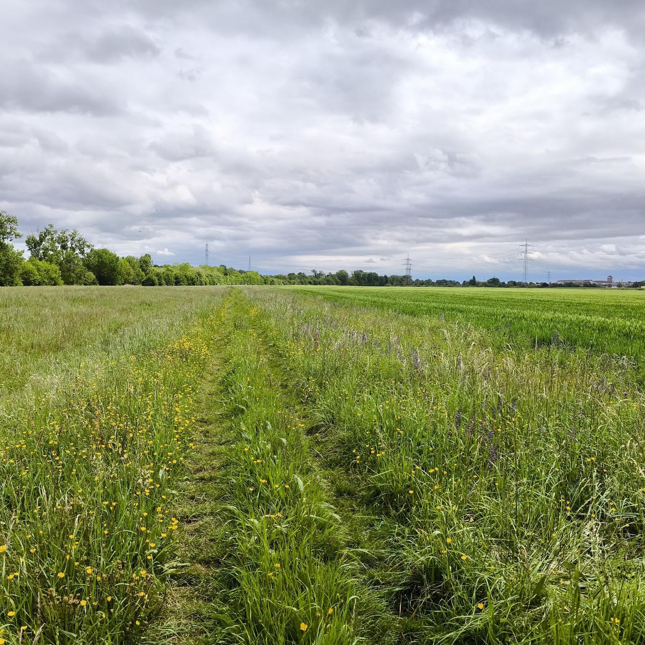
Very beautiful nature
1
0
Very nice bridge
0
0

Altrhein near Ginsheim with harbor. Pedal boats and small cafes.
0
0

With a total length of 527 kilometers, the Main is the longest right-hand tributary of the Rhine and flows as a lifeline through the heart of the entire Rhine-Main region. It officially originates near Kulmbach in Bavaria through the confluence of its two source rivers, the Red Main and the White Main. On its westward journey, the river winds in characteristic loops through Franconia and Hesse, past major metropolises such as Würzburg, Offenbach, and Frankfurt, before finally flowing into the Rhine near Mainz-Kastel (opposite Mainz). For the region, the Main holds immense economic importance as a major shipping route, as it forms a continuous waterway from the North Sea to the Black Sea via the Main-Danube Canal. In addition to its industrial role, the river has been transformed over the past decades into one of the most important areas for local recreation and culture. Kilometers of green spaces stretch along its banks, such as the Frankfurt Mainufer or the promenades in Rüsselsheim and Höchst, offering space for sports, gastronomy, and relaxation. The popular, largely flat Main Cycle Path accompanies the river along its entire length, connecting historic old towns, wine regions, and modern cityscapes. Furthermore, the river significantly shapes the region's climate and nature and serves as a habitat for numerous protected water birds and fish species.
9
0
The weir you see down there primarily serves to regulate the water level and protect the adjacent areas of Hattersheim and Eddersheim from flooding. The Ardelgraben collects surface water from the higher-lying areas (such as from the A66 and from the direction of Diedenbergen/Hofheim) and directs it towards the Main. The weir ensures that the water flow is controlled so that the stream does not overflow its banks uncontrollably during heavy rain. At the same time, it prevents Main water from being pushed back into the drainage system and thus into the city districts during floods of the Main. In recent years, the area around the Ardelgraben has also been ecologically upgraded. The goal is to make the formerly very artificially created ditch (which was partly a pure concrete channel in the past) more natural again. This also includes so-called continuity: in many places in Hattersheim, old weirs or drops are being rebuilt so that fish and small aquatic organisms can migrate upstream again.
8
0
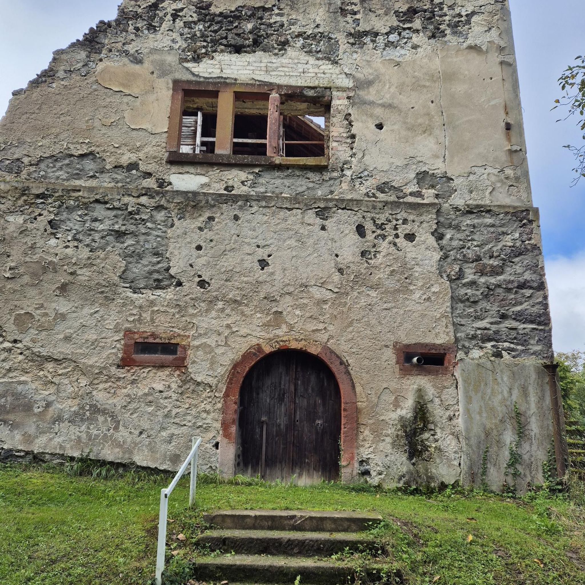
The historic lime kilns in Flörsheim am Main form a significant industrial monument that vividly illustrates the pre-industrial working world of Hesse. Located on the country road towards Hochheim, the facility marks a place with centuries of tradition: while the roots of lime extraction here could date back to Roman times, the distinctive circular structures preserved today originate from the 18th century. For generations, the kilns were fired by family businesses in hard shift work to produce quicklime for the region's construction industry. Operations were only finally ceased in 1921. After the facility was left to decay for a long time, it was extensively excavated and preserved by Regionalpark RheinMain GmbH at the end of the 1990s. Today, the kilns are a popular destination for hikers and cyclists on the Regionalpark-Rundroute and serve as a publicly accessible testament to regional economic history.
12
0

Super nice to ride
0
0

Great rest stop for a bike tour. Beautiful view of Nierstein and the Rhine.
0
0
Frequently Asked Questions
How many road cycling routes are available around Bischofsheim?
There are over 15 road cycling routes around Bischofsheim, offering a variety of experiences. These include easy riverside rides and more challenging routes with significant elevation gain.
What kind of terrain can I expect on road cycling routes near Bischofsheim?
Road cycling around Bischofsheim is characterized by diverse terrain. You'll find well-developed cycle paths along the Rhine and Main rivers, routes winding through numerous orchards and gentle hills, and some paths traversing surrounding forests and fields. The region offers everything from flat river paths to routes with considerable elevation.
Are there any easy road cycling routes suitable for beginners or families?
Yes, Bischofsheim offers several easy road cycling routes. A great option is the Old Railway Bridgehead – Main River Path Near Hochheim loop from Mainz-Bischofsheim, which is 21.0 km long and leads through pleasant riverine landscapes. Another easy route is the View of the Rhine – Königstuhl Observation Tower (Lörzweiler) loop from Mainz-Bischofsheim, covering 41.8 km with gentle climbs.
What are some challenging road cycling routes for experienced riders?
For experienced riders seeking a challenge, the Großer Feldberg Summit – View of the Feldberg loop from Mainz-Bischofsheim is an excellent choice. This difficult 105.9 km route includes significant elevation gain towards the Großer Feldberg Summit, providing a demanding and rewarding ride.
What do other road cyclists say about the routes in Bischofsheim?
The road cycling routes in Bischofsheim are highly rated by the komoot community, with an average score of 4.5 stars from over 1,100 reviews. More than 16,000 road cyclists have used komoot to explore the region's varied terrain, often praising the well-developed paths and diverse scenery.
What natural attractions can I see along the road cycling routes?
Along the road cycling routes, you can discover several natural attractions. Highlights include the Main estuary, where the Main river meets the Rhine, and the Mainspitze, offering scenic views. You can also find viewpoints like the View of the confluence of the Main and the Rhine.
Are there any interesting landmarks or places to see near the cycling paths?
Yes, beyond natural sights, you can encounter interesting landmarks. The Mainz Railway Bridge and the Ölhafen Bridge Raunheim are notable structures. The Rhine Cycle Path at the Roter Hang vineyards offers a picturesque section of the route, and the Rhine Promenade in Mainz is a pleasant area to explore.
Are there any circular road cycling routes around Bischofsheim?
Many of the road cycling routes around Bischofsheim are designed as loops, allowing you to start and end in the same location. For example, the Cycle expressway along the Rhine embankment – Leeheim Space Monitoring Station loop from Mainz-Bischofsheim is a popular circular route, as is the View of Hochheim Church – Dammweg on the Main Cycle Path loop from Mainz-Bischofsheim.
What is the best time of year for road cycling in Bischofsheim?
The Rhine-Main area generally offers good conditions for road cycling from spring through autumn. The mild climate allows for comfortable rides, especially along the river paths and through orchards. Summer provides longer daylight hours, while spring and autumn offer pleasant temperatures and beautiful scenery.
Are there routes that offer views of the Rhine or Main rivers?
Absolutely. Many routes in Bischofsheim are specifically designed to follow the Rhine and Main rivers. The Cycle expressway along the Rhine embankment – Leeheim Space Monitoring Station loop from Mainz-Bischofsheim offers continuous views of the Rhine. Similarly, the Old Railway Bridgehead – Main River Path Near Hochheim loop from Mainz-Bischofsheim provides scenic stretches along the Main River.
Most popular routes around Bischofsheim
Most popular attractions around Bischofsheim

Get inspired with the komoot mobile app


Explore more
Browse the best Road cycling routes in other regions.
