The best running trails in Chiriquí
4.7
(3)
128
runners
7
runs
Jogging in Chiriquí offers diverse landscapes, from lush cloud forests to volcanic terrain and picturesque coffee plantations. The region is characterized by its varied elevation, including the foothills of Volcán Barú, Panama's highest peak, and numerous rivers leading to waterfalls. This "Land of Eternal Spring" provides a comfortable environment for year-round outdoor activities, with routes winding through green mountains and fertile valleys.
Best jogging routes in Chiriquí
- The most popular jogging route is Running loop from Los Naranjos, a…
Last updated: May 20, 2026
5.0
(1)
41
runners
9.78km
01:12
200m
200m
Moderate run. Good fitness required. Mostly paved surfaces. Suitable for all skill levels.
5.0
(1)
41
runners
10.1km
01:14
200m
200m
Moderate run. Good fitness required. Mostly paved surfaces. Suitable for all skill levels.

Sign up for free
4.0
(1)
17
runners
28.5km
04:42
1,840m
1,840m
Hard run. Very good fitness required. Mostly paved surfaces. Suitable for all skill levels.
18
runners
8.37km
01:01
200m
200m
Moderate run. Good fitness required. Mostly paved surfaces. Suitable for all skill levels.
5
runners
12.9km
01:24
220m
220m
Moderate run. Good fitness required. Mostly paved surfaces. Suitable for all skill levels.
3
runners
4.63km
00:29
30m
30m
Easy run. Great for any fitness level. Mostly paved surfaces. Suitable for all skill levels.
Our route recommendations are based on thousands of hikes, rides, and runs completed by other people on komoot.
Start today with a free account
Your next adventure awaits.
Login or Signup




Other adventures in Chiriquí

Tips from the Community


The ascent from Nueve Bambito is only possible with a guide, which must be arranged in advance. Unfortunately, the staff at the entrance to the park will not let you through if you do not have a reservation.
0
0

From this small viewing platform you can let your way wander over the mountains of Panama and take a break on the way to the summit.
0
1
As you continue to fight your way up, you'll reach an auspicious sign. This shows you that there are only 3.5 kilometers to go to the summit!
2
1

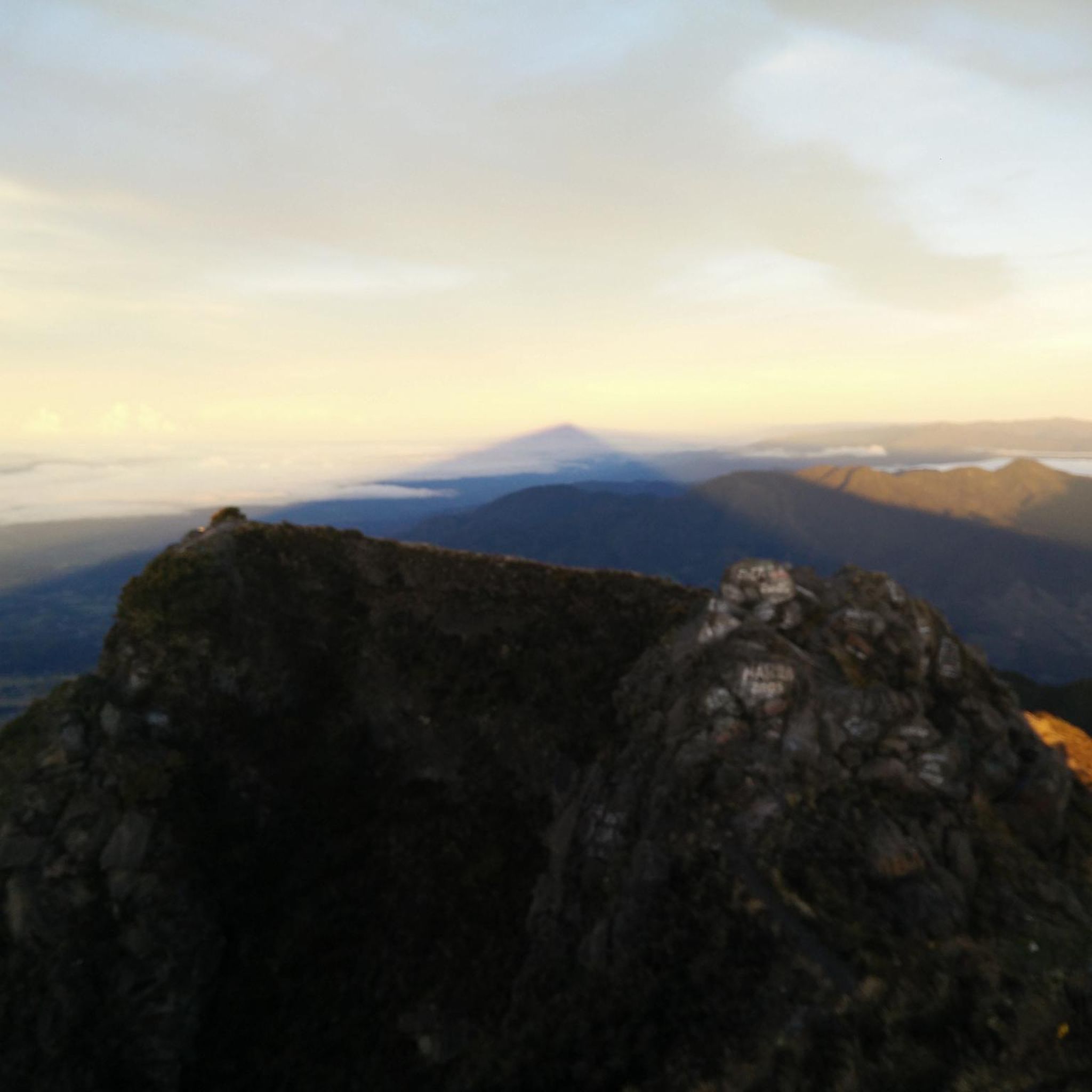
Volcán Barú is an active stratovolcano and the tallest mountain in Panama, at 3,474 metres (11,398 ft) high. It lies about 35 kilometer (22 miles) off the border of Costa Rica. It is also the twelfth highest peak in Central America. A great hike but not such an impressive peak due to radio masts at the summit. It is however a zentralamerican country high point.
2
1
Frequently Asked Questions
What kind of terrain can I expect on running routes in Chiriquí?
Chiriquí offers a diverse range of terrain for runners. You'll find routes winding through lush cloud forests, challenging volcanic landscapes, and picturesque coffee plantations. The region's varied elevation, including the foothills of Volcán Barú, means you can experience everything from moderate loops to demanding mountain trails.
Are there any easy running trails suitable for beginners in Chiriquí?
Yes, Chiriquí has options for all fitness levels. For an easy and pleasant run, consider the Running loop from Villa de Las Rosas. This route covers 4.6 miles (7.4 km) with minimal elevation gain, making it ideal for a relaxed jog.
Where can I find challenging running routes in Chiriquí?
For experienced runners seeking a challenge, the region around Volcán Barú offers demanding trails. A notable option is the Volcán Barú loop from Cultivos de hortalizas, which is 16.1 miles (25.9 km) long and features significant elevation changes through volcanic terrain. The Los Llanos trail near Volcán is also known for its difficulty and diverse landscapes.
What is the best time of year to go jogging in Chiriquí?
Chiriquí is often called the 'Land of Eternal Spring' due to its comfortable year-round climate. The cool mountain air, especially in areas like Boquete (1,200 to 1,700 meters elevation), provides pleasant conditions for outdoor activities throughout the year, making it an excellent destination for running anytime.
Are there any running routes that feature waterfalls in Chiriquí?
Absolutely! Chiriquí is home to numerous stunning waterfalls. While not directly part of the listed running routes, many trails lead to them. The Pipeline Trail, for example, winds through cloud forests alongside a river and culminates in a beautiful waterfall. You can find more details about specific waterfalls like the Waterfall at the End of Pipeline Trail or the Third Waterfall, Parque Internacional La Amistad.
What kind of wildlife might I encounter on the running trails?
Chiriquí's cloud forests are rich in biodiversity. On your runs, especially on trails like the Pipeline Trail or Los Quetzales Trail, you might spot a variety of unique birds, including the elusive Resplendent Quetzal, as well as other flora and fauna native to the region's lush ecosystems.
Are there any circular running routes in Chiriquí?
Yes, many of the popular running paths in Chiriquí are circular, offering a convenient way to start and end at the same point. Examples include the Running loop from Los Naranjos, the Running loop from Jaramillo, and the View to Boquete loop from Jaramillo, all providing scenic experiences.
What do other runners say about the trails in Chiriquí?
The running routes in Chiriquí are highly regarded by the komoot community, with an average score of 5.0 stars from reviewers. Runners often praise the diverse landscapes, from cloud forests to coffee plantations, and the comfortable 'Eternal Spring' climate that makes for enjoyable year-round outdoor activity.
Are there any long-distance running trails in Chiriquí?
For those looking for longer runs, Chiriquí offers several options. The Volcán Barú loop from Cultivos de hortalizas is a significant 16.1-mile (25.9 km) trail. Other routes, like the Los Quetzales Trail, can also be quite long and challenging, connecting different towns.
What are some notable landmarks or attractions near the running routes?
Beyond the trails themselves, Chiriquí boasts several natural attractions. You can find the majestic Volcán Barú Summit, the ancient Cenizo (Ulmus Mexicana) – The 1,000-Year-Old Tree, and various stunning waterfalls like the First waterfall. Many of these are accessible via hiking trails that can be incorporated into a longer outdoor adventure.
Are there running routes around Boquete?
Boquete is a central hub for outdoor activities in Chiriquí and offers a variety of running routes. You can find moderate loops like the Running loop from Los Naranjos and the Mirador de Alto Boquete loop from Alto Boquete, which often feature scenic views and varied terrain, including paved sections.
What should I bring for a run in Chiriquí?
Given the varied terrain and potential for cloud forest conditions, it's advisable to bring appropriate running shoes with good grip, layers of clothing for changing temperatures, water, and sun protection. If you plan to explore trails with waterfalls, consider waterproof gear or a change of clothes. Always carry a map or GPS device, especially on longer or more challenging routes.
Most popular attractions in Chiriquí

Get inspired with the komoot mobile app


Didn’t find what you were looking for?
Check out more Running Trails & Routes throughout Chiriquí below and find the perfect route in your destination.
Explore more
Browse the best Running Trails & Routes in other regions.
