The best walks and hikes around Cwm
4.5
(588)
4,552
hikers
132
hikes
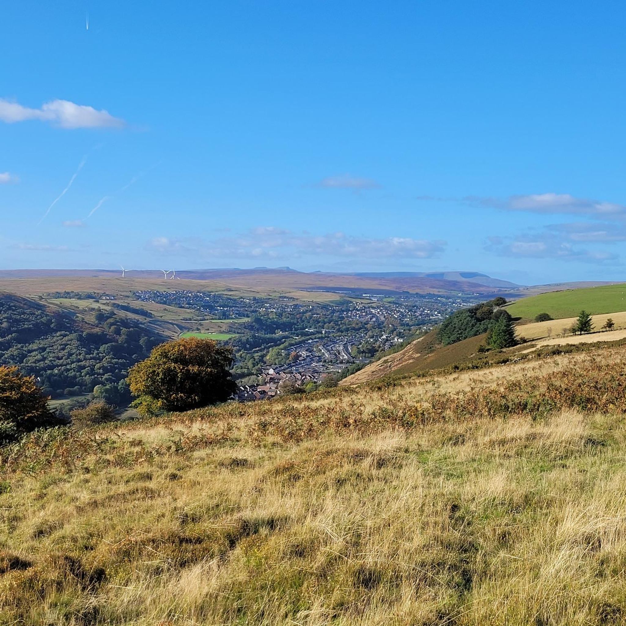
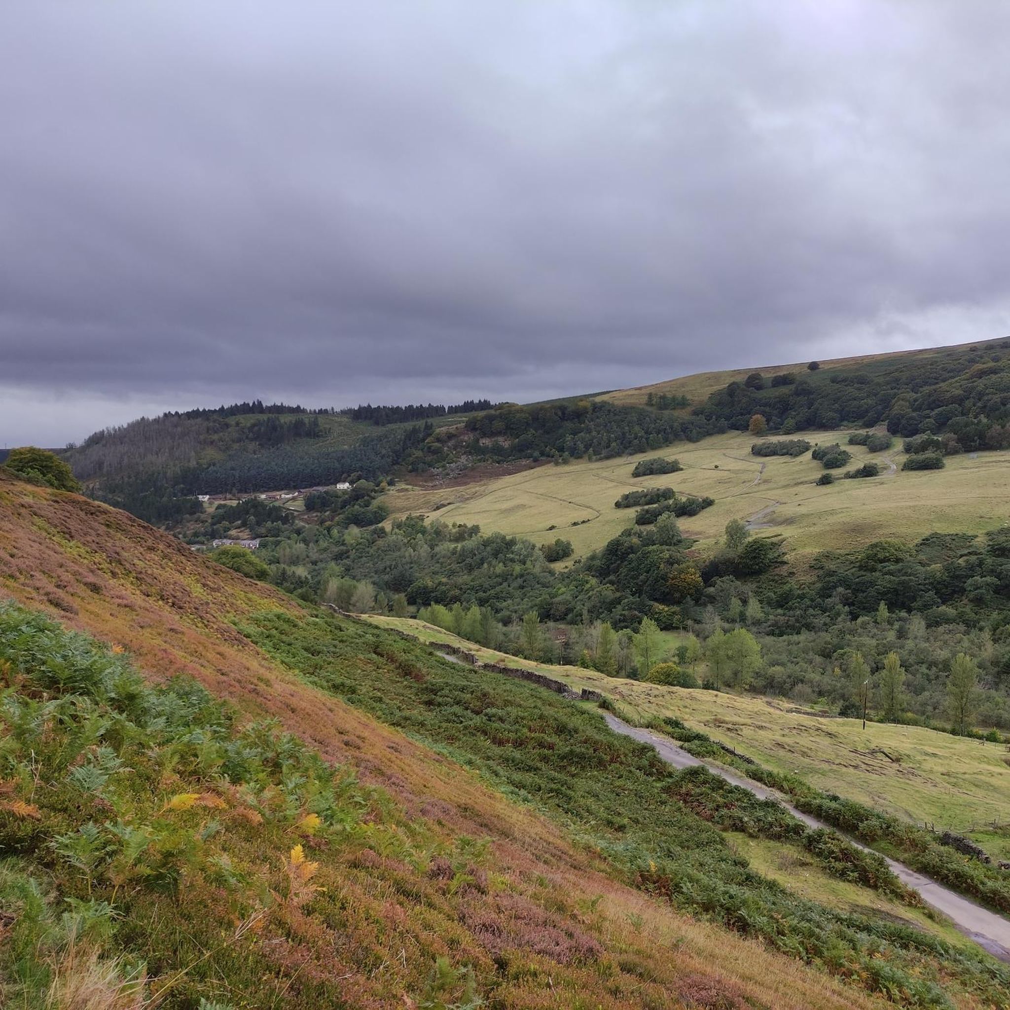
Hiking around Cwm offers diverse trails through a landscape characterized by valleys, hills, and woodlands. The region, situated in South Wales, features varied terrain suitable for different hiking abilities. These areas often include remnants of glacial geomorphology, contributing to the dramatic scenery and unique natural features. The trails provide opportunities to explore both natural beauty and historical elements of the local environment.
Best hiking trails around Cwm
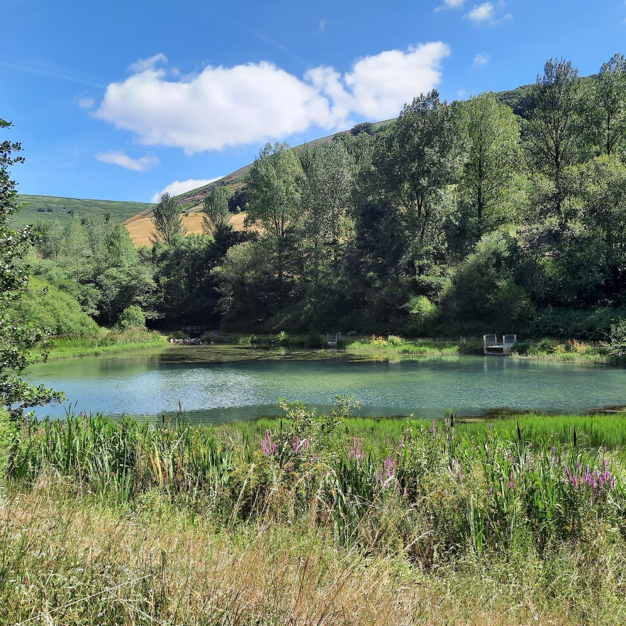
- The most popular hiking route is Tyleri Valley Heights – Serene Pond loop…
Last updated: July 19, 2026
4.8
(4)
15
hikers
12.1km
03:32
320m
320m
Moderate hike. Good fitness required. Easily-accessible paths. Suitable for all skill levels.
5.0
(2)
6
hikers
6.63km
02:07
270m
270m
Moderate hike. Good fitness required. Easily-accessible paths. Suitable for all skill levels.

Sign up for free
18
hikers
5.28km
01:23
40m
40m
Easy hike. Great for any fitness level. Easily-accessible paths. Suitable for all skill levels.
4
hikers
20.4km
06:03
540m
540m
Hard hike. Very good fitness required. Easily-accessible paths. Suitable for all skill levels.
4.0
(2)
25
hikers
6.65km
01:46
70m
70m
Easy hike. Great for any fitness level. Easily-accessible paths. Suitable for all skill levels.
Get access to more routes and recommendations from other explorers.
Sign up for free
Already have an account?
Our route recommendations are based on thousands of hikes, rides, and runs completed by other people on komoot.
Start today with a free account
Your next adventure awaits.
Login or Signup

Tips from the Community

An impressive sight and a wonderful tribute to the miners that lost their lives
1
0

On 28 June 1960, an underground explosion at the then Six Bells Colliery killed 45 miners. Caused by an ignition of firedamp, coal-dust in the air ignited and the explosion spread almost throughout a district of the mine, killing 45 out of the 48 men who worked there. The sculpture commemorates those events and is dedicated to all mining communities wherever they may be.
2
0
The Guardian is a 20 m (66 ft) tall statue overlooking Parc Arael Griffin, the landscaped former Six Bells Colliery site, in the South Wales mining town of Abertillery, Blaenau Gwent. It was designed and created by artist Sebastien Boyesen.On 28 June 1960, an underground explosion at the then Six Bells Colliery killed 45 miners. Caused by an ignition of firedamp, coal-dust in the air ignited and the explosion spread almost throughout a district of the mine, killing 45 out of the 48 men who worked there. The sculpture commemorates those events and is dedicated to all mining communities wherever they may be.
2
0

easy access to the guardian on good tarmac path.
3
0
The statue itself is close to where you park.allong a good tarmacked path..so easily accessed even by a wheel chair .
3
0

Memorial in honor of the Sixbells' 45 miners who were fatally injured in their work in 1960.
1
0
Frequently Asked Questions
How many hiking trails are available in Cwm?
There are over 130 hiking routes around Cwm, catering to a wide range of abilities. You'll find approximately 60 easy trails, nearly 70 moderate options, and a selection of 8 more difficult routes for experienced hikers.
What kind of terrain can I expect on hikes around Cwm?
Hikes around Cwm feature diverse terrain, characterized by valleys, rolling hills, and accessible woodlands. The region's glacial past means you'll encounter dramatic scenery, including bowl-shaped valleys known as 'cwms' (a Welsh term for a glacial cirque), and sometimes lakes or moraines. Trails range from gentle paths through forests to more rugged ascents.
Are there easy hiking options suitable for families in Cwm?
Yes, Cwm offers numerous easy hiking options perfect for families. For example, the Hiking loop from Aberbeeg is an easy 5.3 km trail that takes about 1 hour 25 minutes, leading through local valleys and past small hills. Another accessible option is the Hiking loop from Abertillery, which is 6.6 km and also rated easy.
Can I find challenging hikes in the Cwm area?
Absolutely. For those seeking a more challenging experience, Cwm has several difficult routes. One notable option is the Serene Pond – Tyleri Valley Heights loop from Llanhilleth. This demanding trail covers over 20 km and involves significant elevation gain, offering a strenuous but rewarding adventure.
Are there any circular walking routes in Cwm?
Many of the trails in Cwm are designed as circular routes, allowing you to start and finish in the same location. Popular examples include the moderate Tyleri Valley Heights – Serene Pond loop from Abertillery (12.1 km) and the Serene Pond – Tyleri Valley Heights loop from Cwmtillery (6.6 km), both offering varied scenery without retracing your steps.
What natural features or landmarks can I see while hiking in Cwm?
While hiking around Cwm, you can explore several natural monuments and points of interest. Highlights include the Blorenge summit, offering expansive views, and Keeper's Pond. You might also encounter the Chartist Cave, which holds historical significance, and various trig points like the Trig point at Mynydd Twyn-glas summit.
Are there any waterfalls to visit on hikes around Cwm?
While the immediate Cwm area is known for its valleys and hills, the broader region of Wales, where 'cwms' are prevalent, is home to impressive waterfalls. For example, Cwm Rhaeadr in the Cambrian Mountains features the highest waterfall in Carmarthenshire, and Cwm Mawr Waterfall in Bridgend is unique for flowing directly onto a beach at low tide. These examples illustrate the potential for finding such features in similar glacial landscapes.
What makes the landscape of Cwm unique for hiking?
The landscape of Cwm is unique due to its glacial geomorphology. The term 'cwm' itself refers to a bowl-shaped valley carved by glaciers, creating dramatic, often horseshoe-shaped, scenery. These formations frequently contain glacial lakes and moraines, providing a rugged and visually striking backdrop for hiking. This geological history contributes to the diverse and often challenging terrain, making it a fascinating area for outdoor exploration.
Is Cwm a good place for wildlife spotting?
The diverse ecosystems within and around cwms can support a variety of wildlife. Areas like Cwm Idwal (a renowned cwm in Snowdonia) are known for rare arctic-alpine plants and a range of birds such as wheatear, ring ouzel, raven, and peregrine falcon. Mammals like brown hare, fallow deer, badgers, foxes, and feral goats can also be found. While specific sightings depend on the trail and season, the natural habitats in Cwm offer good opportunities for observing local flora and fauna.
What do other hikers say about the trails in Cwm?
The hiking trails in Cwm are highly regarded by the komoot community, with an average rating of 4.5 stars from over 500 reviews. Hikers often praise the varied terrain, from serene woodlands to open hills, and the well-maintained paths that make exploring the region's natural beauty enjoyable for all skill levels.
Are there options for public transport to access hiking trails in Cwm?
While specific public transport links vary by starting point, many towns and villages in the Cwm area are served by local bus routes. It's advisable to check local transport schedules for the specific trailhead you plan to visit, as services can be less frequent in rural areas. Planning your route in advance will help identify the most convenient access points.
Are the hiking trails in Cwm dog-friendly?
Many trails in Cwm are suitable for dogs, especially those that pass through woodlands and open common land. However, it's always recommended to keep dogs on a lead, particularly when passing through farmland with livestock or in areas designated for wildlife protection. Always check local signage for any specific restrictions or guidance regarding dogs on trails.
Most popular attractions around Cwm

Get inspired with the komoot mobile app


Explore more
Browse the best Hikes in other regions.
