Ennerdale And Kinniside
Ennerdale And Kinniside
Top 17 Mountain Passes around Ennerdale And Kinniside
Best mountain passes around Ennerdale And Kinniside are found in a remote area of the western Lake District, characterized by rugged fells and the secluded Ennerdale Water. This valley is notable as the only major Lake District valley without a road running its full length. The region's mountain passes primarily consist of challenging footpaths and ancient routes connecting Ennerdale with neighboring valleys. These routes offer access to a wild landscape and significant ascents for hikers.
Best mountain passes around Ennerdale…
Last updated: May 13, 2026
Sty Head Stretcher Box
Highlight • Trail
Tip by

Honister Pass Climb from Gatesgarth
Highlight (Segment) • Climb
Tip by

Sign up now to discover places like this
Get recommendations on the best single tracks, peaks, & plenty of other exciting outdoor places.
Sign up for free
Black Sail Pass
Highlight • Mountain Pass
Tip by
Mickledore Pass
Highlight • Mountain Pass
Tip by
Greenup Edge Pass
Highlight • Mountain Pass
The …
Translated by Google •
Tip by

Sign up for free to discover even more mountain passes around Ennerdale And Kinniside.
Sign up for free
Already have an account?
Start today with a free account
Your next adventure awaits.
Login or Signup
Popular around Ennerdale And Kinniside
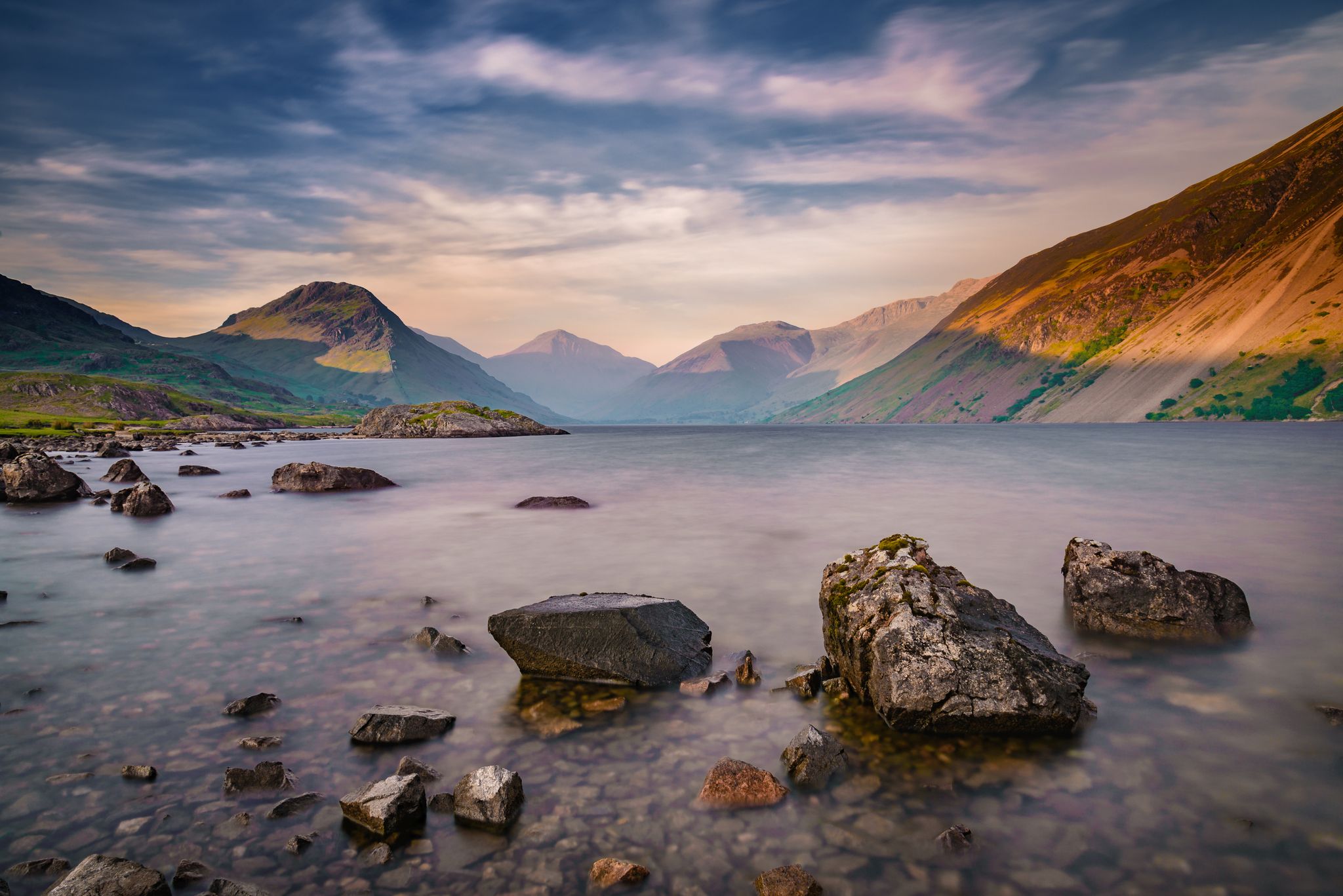
St Bega's Way and Back — A pilgrimage hike from coast to mountains
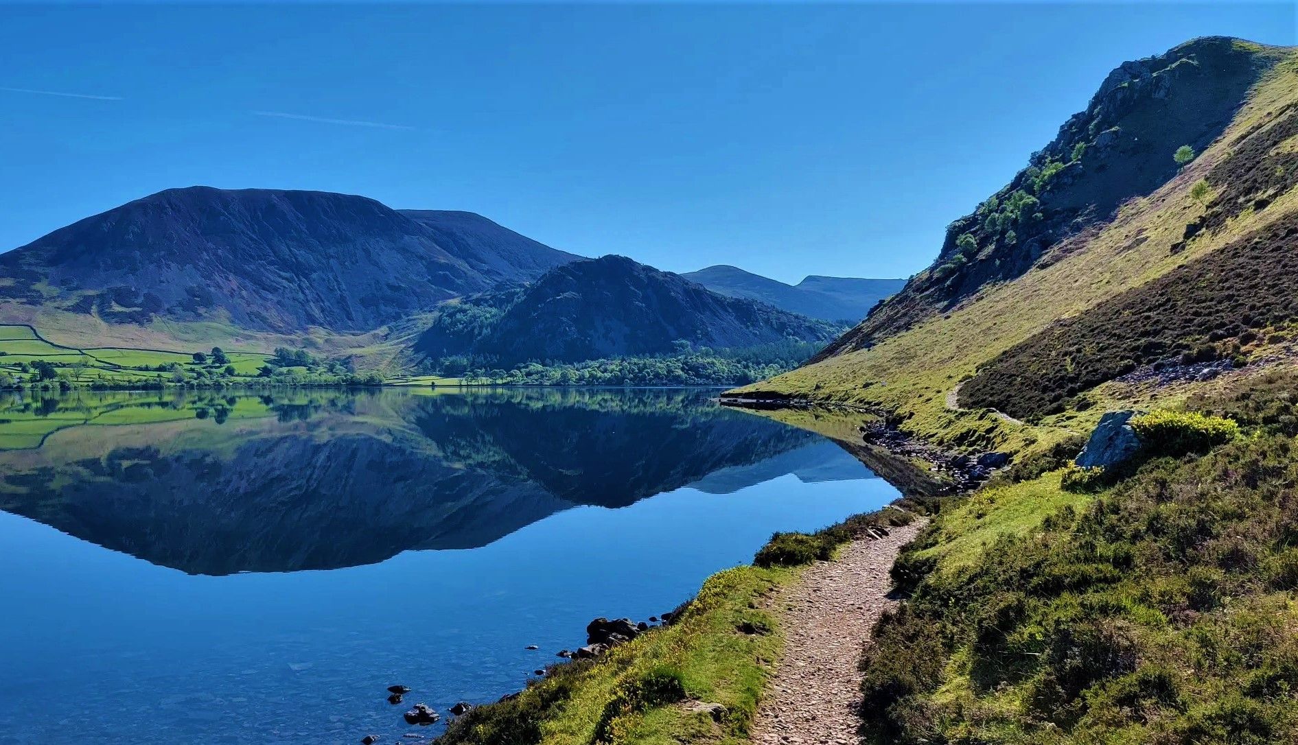
Wainwright's Coast to Coast — Hike the width of England in 13 stages
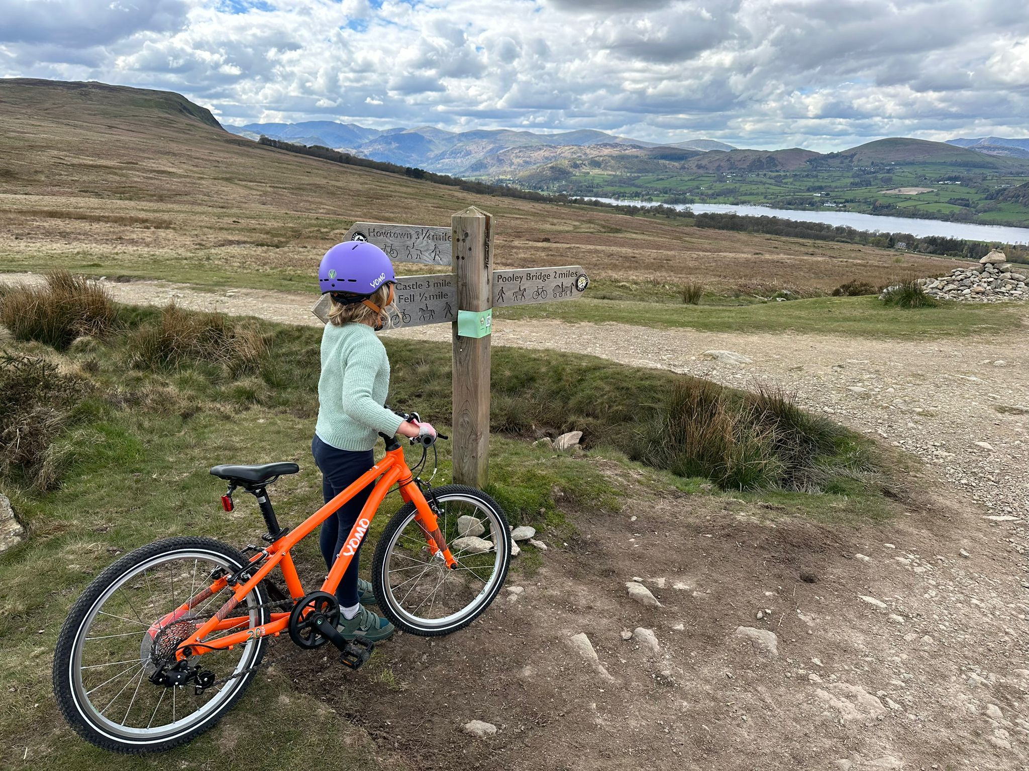
The best family-friendly bike rides in the Lake District
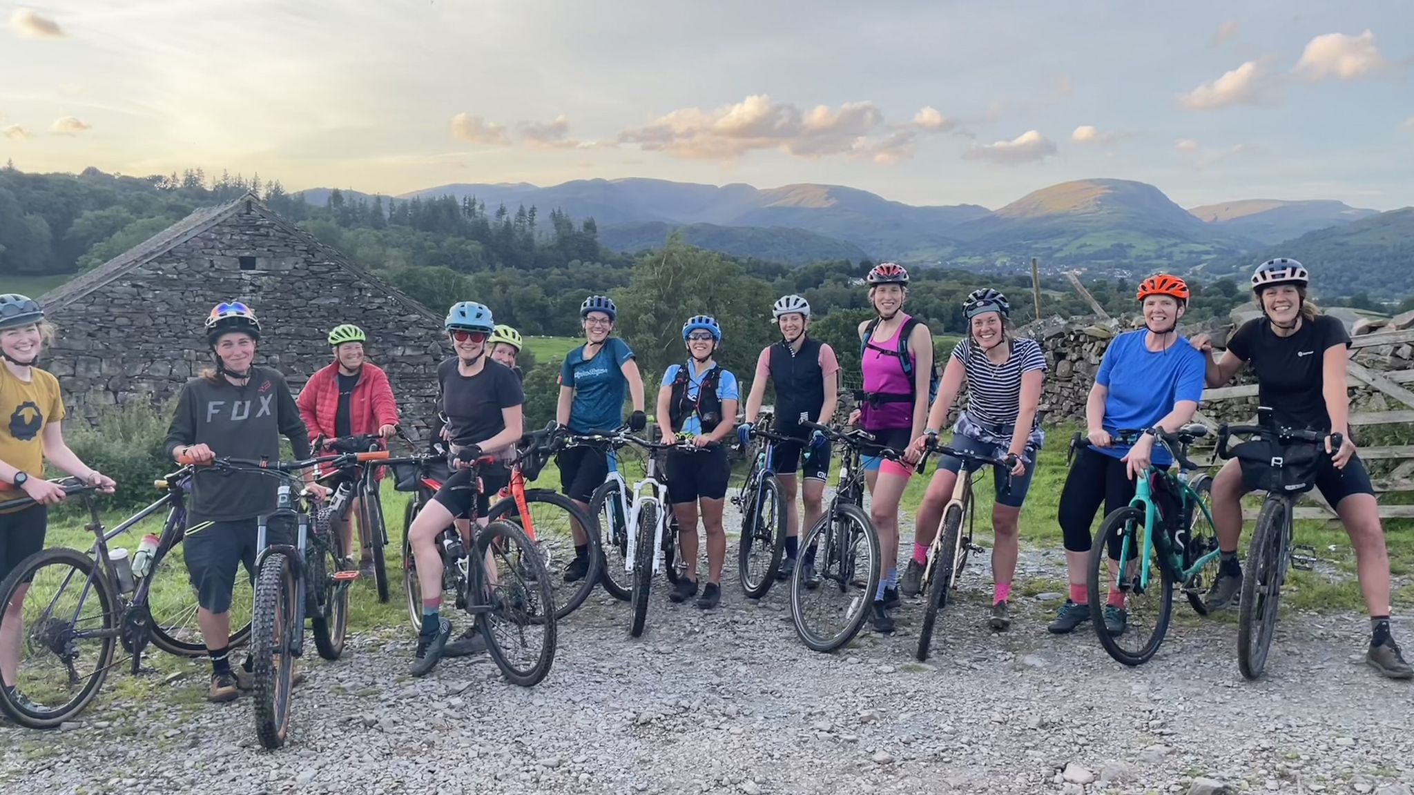
Beginner-friendly gravel rides in the Lake District
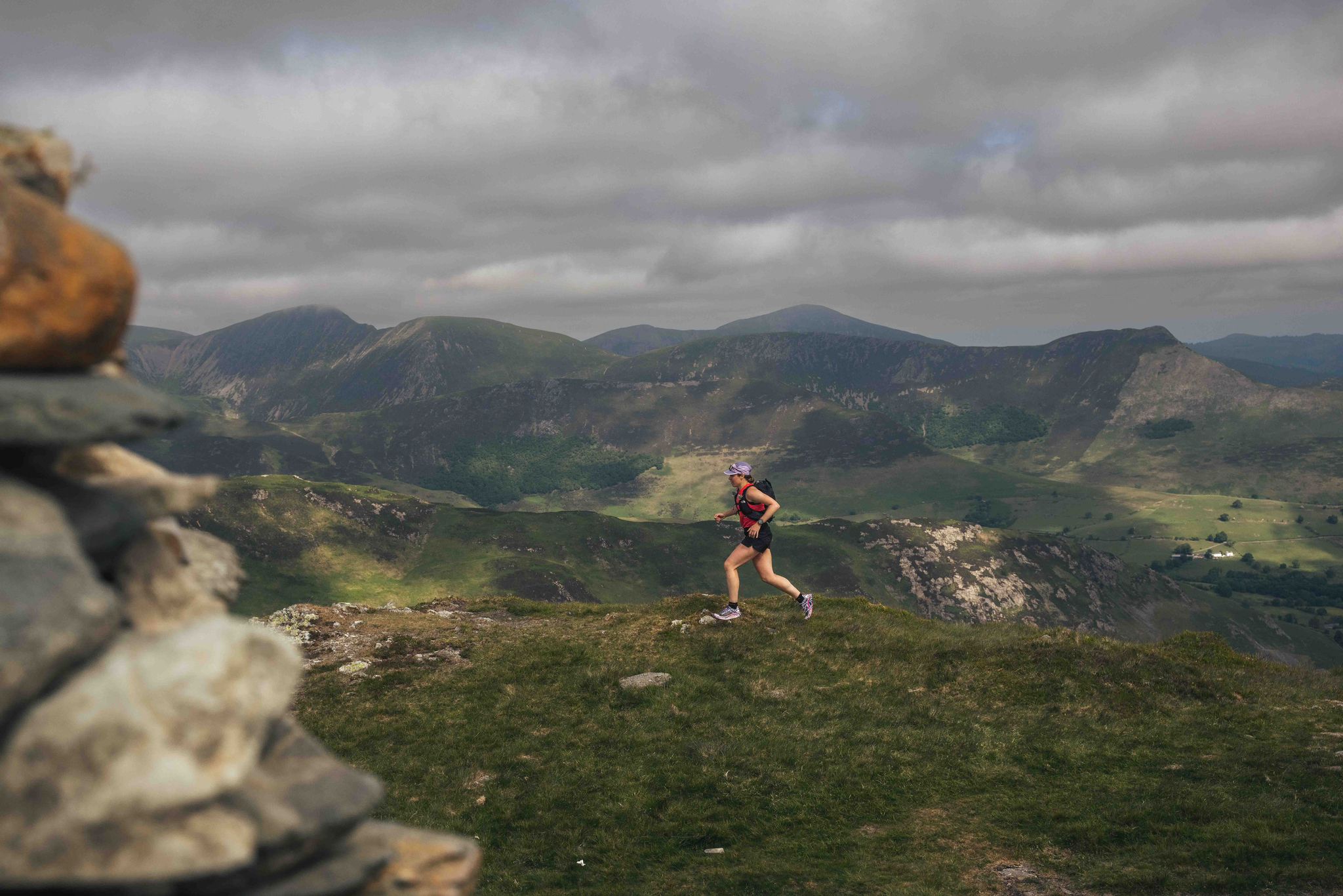
Trash Free Trails Purposeful Adventure: Running the least visited Wainwrights
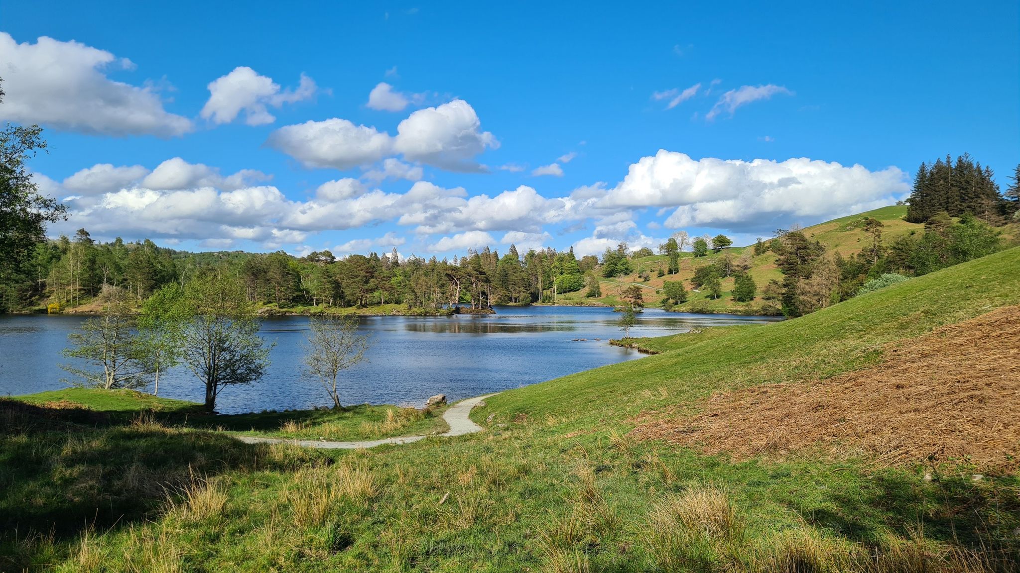
10 sublime lakeside trail runs in the Lake District National Park
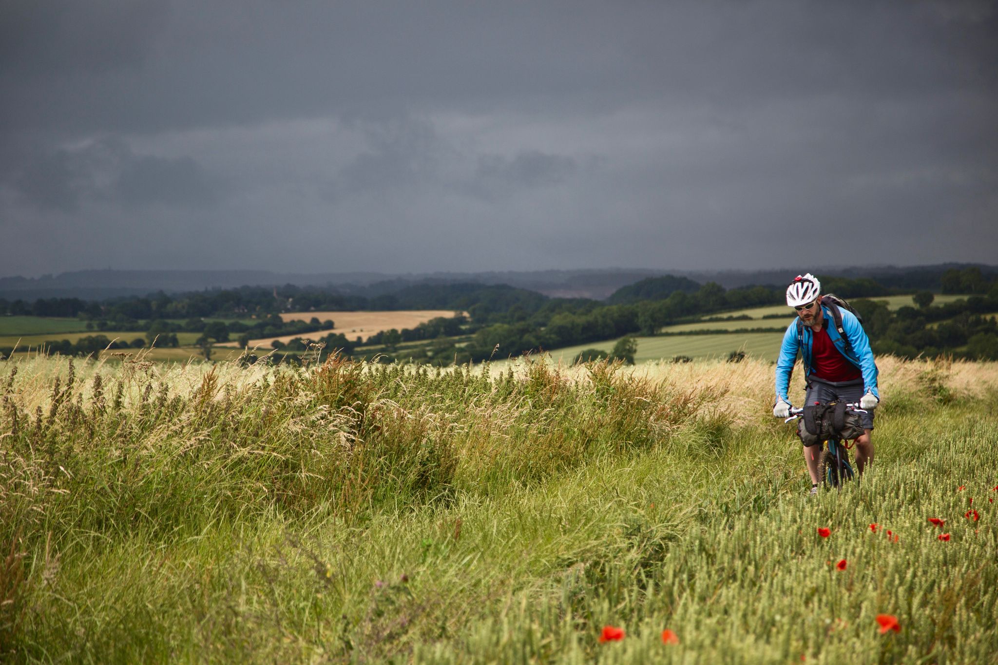
On Britain's green tracks
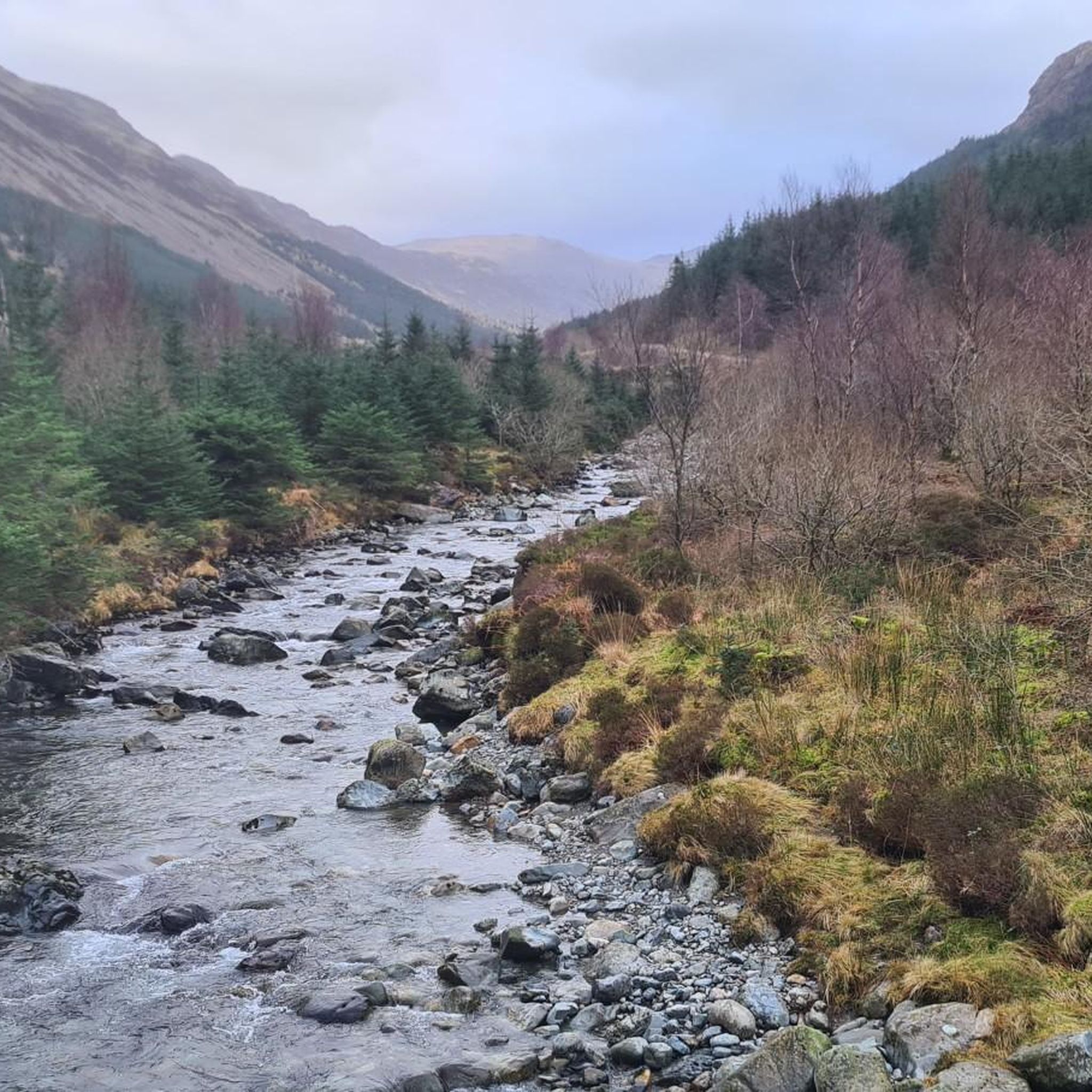
Hiking around Ennerdale And Kinniside
MTB Trails around Ennerdale And Kinniside
Running Trails around Ennerdale And Kinniside
Other adventures around Ennerdale And Kinniside


Tips from the Community


Black Sail Pass is the high point on the old packhorse route from Wasdale Head into upper Ennerdale and now provides a link between Wasdale Head and Black Sail Youth Hostel. It is the lowest point on the ridge between Kirk Fell and Pillar.
1
0

Sty Head at 1,601 feet (488 m) is the summit of the mountain pass between Wasdale and Borrowdale. Great Gable rises to the north and the Scafells are to the south. Mountain Rescue has a stretcher box here to aid rescue in this mountainous area. It makes an excellent navigational aid.
0
0
Beware the chicane at the bridge on the descent to Gatesgarth (on the Buttermere road), the stone parapets are lethal if you're out of control here; moreso in the wet
0
0

Fat man's struggle. The start of the Broad Stand route. About 100m below Mickledore
0
1


The old Stretcher box was replaced by the new one.
1
0

For mountain lovers, there are few more magical places in the Lake District than Mickledore, the pass between Scafell Pike and Scafell. It is an exciting ridge of rock backed by Scafell's muscular East Buttress that gives access to a number of routes onto England's two highest summits. The hiking routes to Scafell Pike from here are relatively straightforward, if a little bit rugged. To attain Scafell from Mickledore, walkers have two choices: Lord's Rake, an atmospheric scramble through a gully on the mountain's north side; or Foxes Rake, an easier but no less strenuous hike to the south. Rock climbers can access Scafell via Broad Stand, a 'moderate' climb where the consequences of a slip at the crux can be fatal. It is a mountain rescue blackspot and has sadly seen many deaths over the years. Despite being the quickest way between Scafell Pike and Scafell, it is not a route for hikers.
2
1
Frequently Asked Questions
What are some of the most notable mountain passes around Ennerdale and Kinniside?
The region features several significant passes. Sty Head Stretcher Box marks the apex of an ancient trade route between Borrowdale and Wasdale, situated between Great Gable and the Scafell massif. Another prominent pass is Mickledore Pass, which connects Scafell Pike and Scafell, providing access to England's two highest summits. Additionally, Black Sail Pass links the head of Ennerdale Valley with Wasdale, and Scarth Gap connects Ennerdale with Buttermere.
How challenging are the mountain passes in Ennerdale and Kinniside?
The mountain passes in Ennerdale and Kinniside are primarily challenging footpaths and ancient routes. They often involve significant ascents and are best suited for experienced hikers. For example, Honister Pass Climb from Gatesgarth is known for its consistently steep gradients, and routes like Black Sail Pass and Scarth Gap present considerable climbs.
What kind of terrain can I expect on the mountain passes?
You can expect rugged fells, wild and remote mountain scenery, and ancient packhorse routes. The terrain is often rocky and can be steep, especially on ascents to passes like Scarth Gap. These routes are integral to experiencing the untamed wilderness of the western Lake District.
What natural features and viewpoints can I expect to see?
The passes offer breathtaking views of dramatic fells, serene tarns, and the secluded Ennerdale Water. From passes like Scarth Gap, you can enjoy stunning vistas across both Ennerdale and Buttermere. Sty Head Stretcher Box provides epic mountain vistas, including views of imposing peaks and the tranquil Styhead Tarn.
What is the best time of year to hike the mountain passes?
The Lake District weather can be unpredictable. While hiking is possible year-round for experienced individuals, the best time for most hikers is typically from late spring to early autumn (May to October) when conditions are generally milder and daylight hours are longer. Always check local weather forecasts before heading out.
Is winter hiking possible on these mountain passes?
Winter hiking is possible but requires significant experience, proper equipment (including ice axe and crampons), and careful planning due to challenging conditions such as snow, ice, and reduced visibility. Many of these passes are remote and exposed, making winter ascents particularly demanding.
Are there family-friendly mountain passes or walks in the area?
The mountain passes themselves are generally challenging and more suited for experienced hikers. However, the wider Ennerdale Valley offers easier walks, particularly around Ennerdale Water, which is the only major Lake District valley without a road running its full length, providing a tranquil environment for families. Always check the difficulty rating of specific routes.
Are the mountain passes dog-friendly?
Many trails in the Lake District are dog-friendly, but it's crucial to keep dogs under close control, especially in areas with livestock or ground-nesting birds. Some sections of the passes can be very steep and rocky, which might be challenging for some dogs. Always ensure your dog is fit enough for the terrain and carry water for them.
Where can I park when visiting the mountain passes?
Parking options vary depending on the specific pass you intend to hike. For passes accessed from Ennerdale, parking is typically available near Ennerdale Bridge or at designated car parks further into the valley. For passes like Sty Head, parking is often found at Wasdale Head or Seathwaite. Always check specific access points for parking availability.
What outdoor activities can I do near these mountain passes?
Beyond hiking the passes, the region offers a variety of outdoor activities. You can find numerous hiking trails, including routes around Ennerdale Water. For more challenging ascents, explore the mountain hikes in the fells. There are also cycling routes, including challenging climbs like Honister Pass, which is located to the east of Ennerdale.
Are there cafes or pubs near the mountain passes?
While the passes themselves are remote, you can find amenities in nearby villages. Ennerdale Bridge has some local facilities. For passes like Black Sail, the Black Sail Youth Hostel is a well-known stopping point. Wasdale Head, a common access point for Sty Head, also has a pub. Always check opening times, especially in off-peak seasons.
What should I wear or bring for hiking these mountain passes?
Given the challenging and remote nature of these passes, it's essential to be well-prepared. Wear sturdy hiking boots, waterproof and windproof clothing, and layers suitable for changing mountain weather. Carry a map and compass (and know how to use them), sufficient water and food, a first-aid kit, and a fully charged phone. Navigation skills are crucial.
Most popular routes around Ennerdale And Kinniside
Most popular attractions around Ennerdale And Kinniside

Get inspired with the komoot mobile app


Explore more
See even more epic mountain passes by checking out these guides around Ennerdale And Kinniside:
