The best gravel rides around Ennerdale And Kinniside
4.4
(11)
152
riders
6
rides
Gravel biking around Ennerdale And Kinniside features routes that traverse varied terrain, including lakeside paths, river valleys, and mountain passes. The region is characterized by its natural water bodies like Ennerdale Water and Crummock Water, alongside significant elevation changes found in areas like Whinlatter Pass. Gravel trails often follow established tracks through forested areas and open fells, providing diverse riding conditions.
Best gravel bike trails around Ennerdale And Kinniside
- The most popular gravel bike trail is View of Ennerdale Water…
Last updated: July 17, 2026
4.7
(3)
39
riders
28.1km
01:56
320m
320m
Hard gravel ride. Good fitness required. You may need to push your bike for some segments of this route.
4.5
(2)
31
riders
Hard gravel ride. Very good fitness required. You may need to push your bike for some segments of this route.

Sign up for free
4.0
(1)
24
riders
44.0km
03:09
910m
910m
Hard gravel ride. Very good fitness required. Mostly paved surfaces. Suitable for all skill levels.
4.0
(1)
25
riders
37.0km
02:36
830m
830m
Hard gravel ride. Very good fitness required. Mostly paved surfaces. Suitable for all skill levels.
4
riders
67.0km
04:39
1,340m
1,340m
Hard gravel ride. Very good fitness required. You may need to push your bike for some segments of this route.
Our route recommendations are based on thousands of hikes, rides, and runs completed by other people on komoot.
Start today with a free account
Your next adventure awaits.
Login or Signup
Popular around Ennerdale And Kinniside
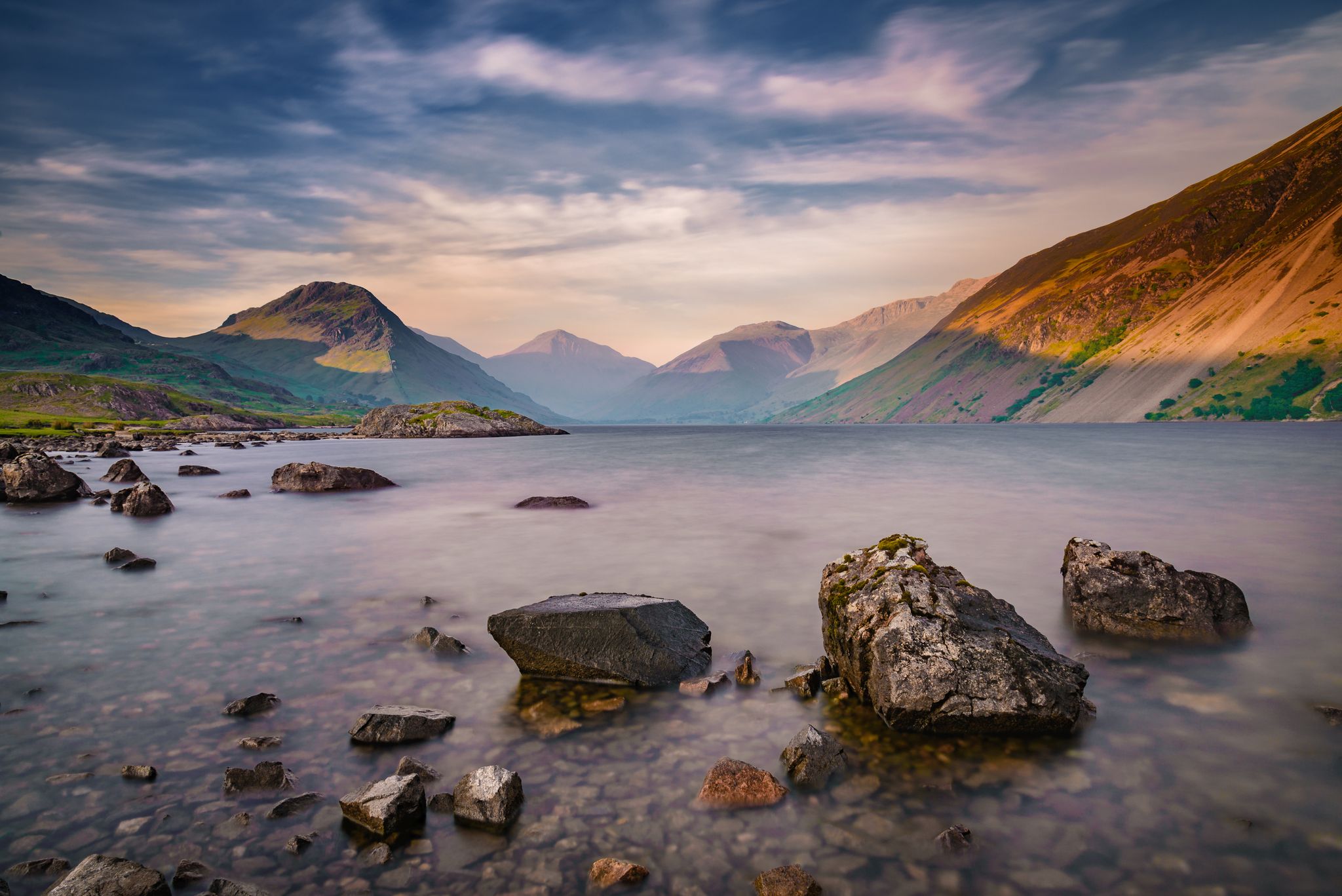
St Bega's Way and Back — A pilgrimage hike from coast to mountains
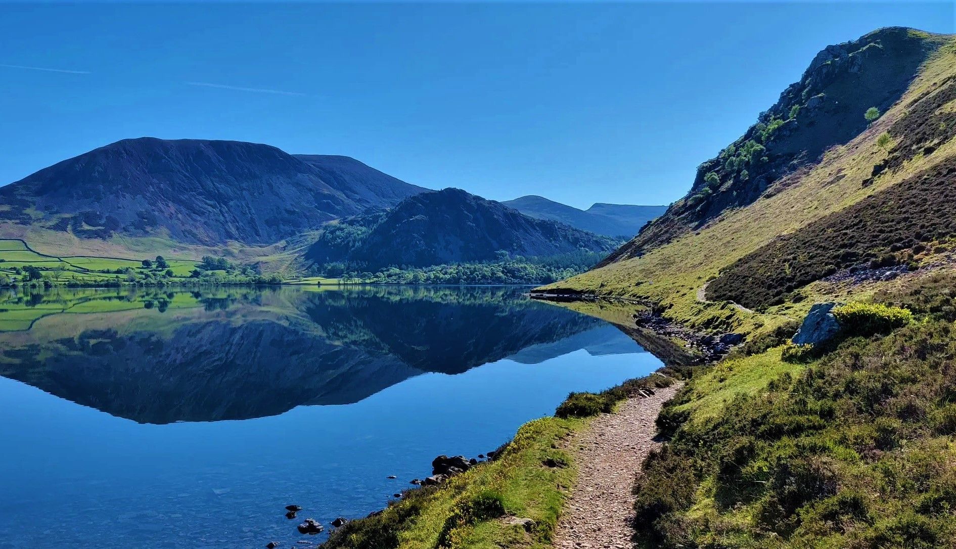
Wainwright's Coast to Coast — Hike the width of England in 13 stages
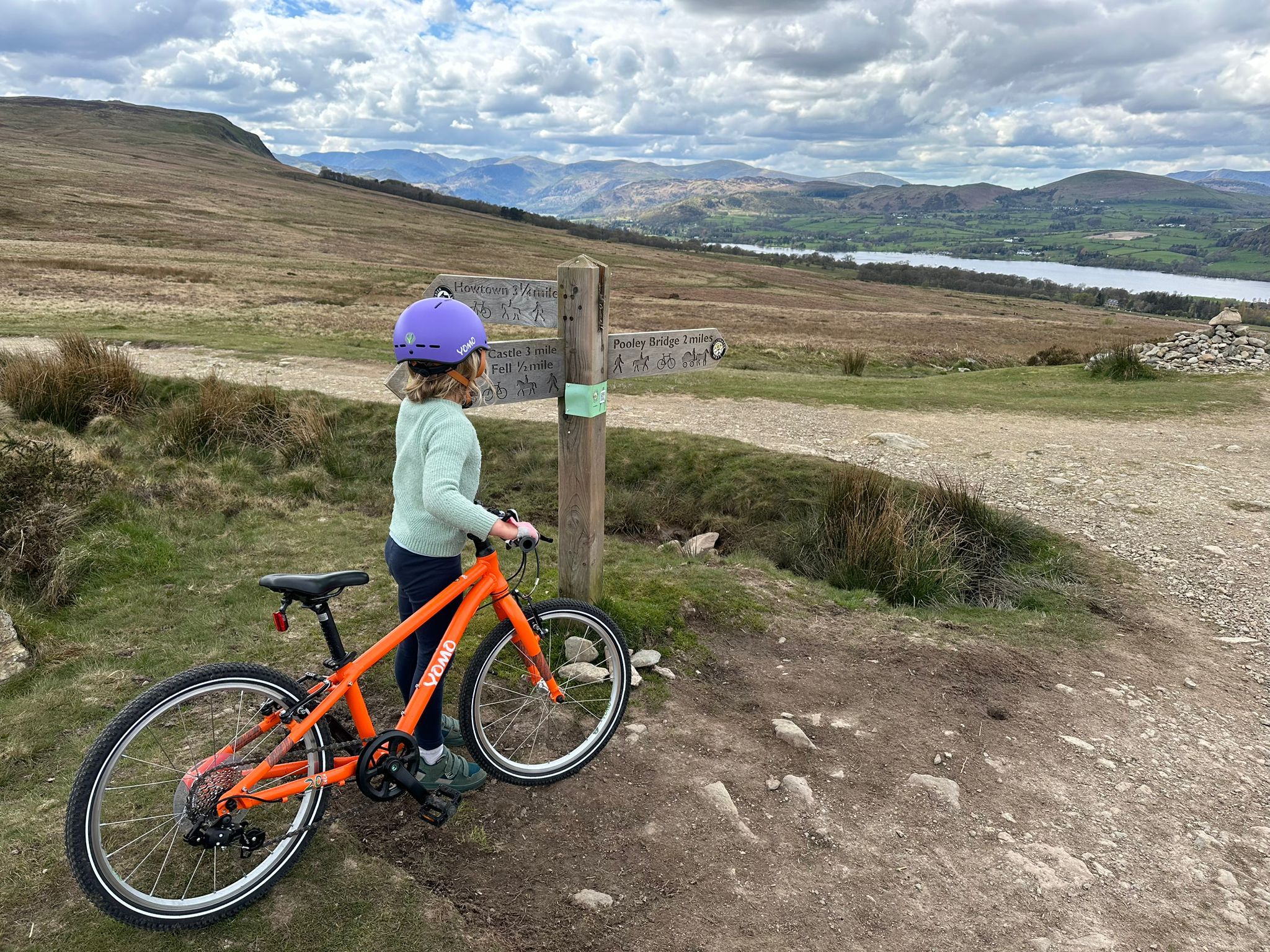
The best family-friendly bike rides in the Lake District
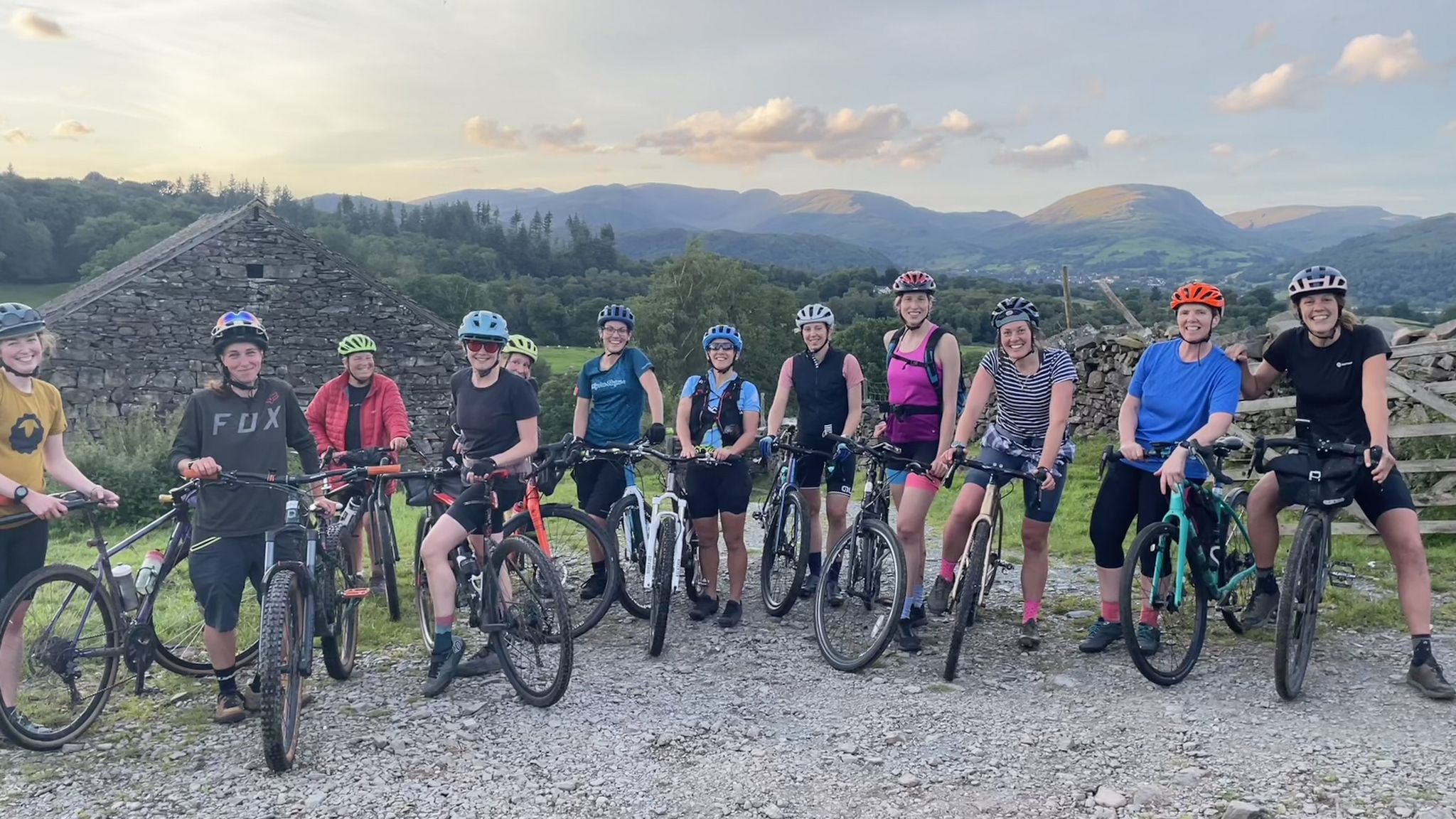
Beginner-friendly gravel rides in the Lake District
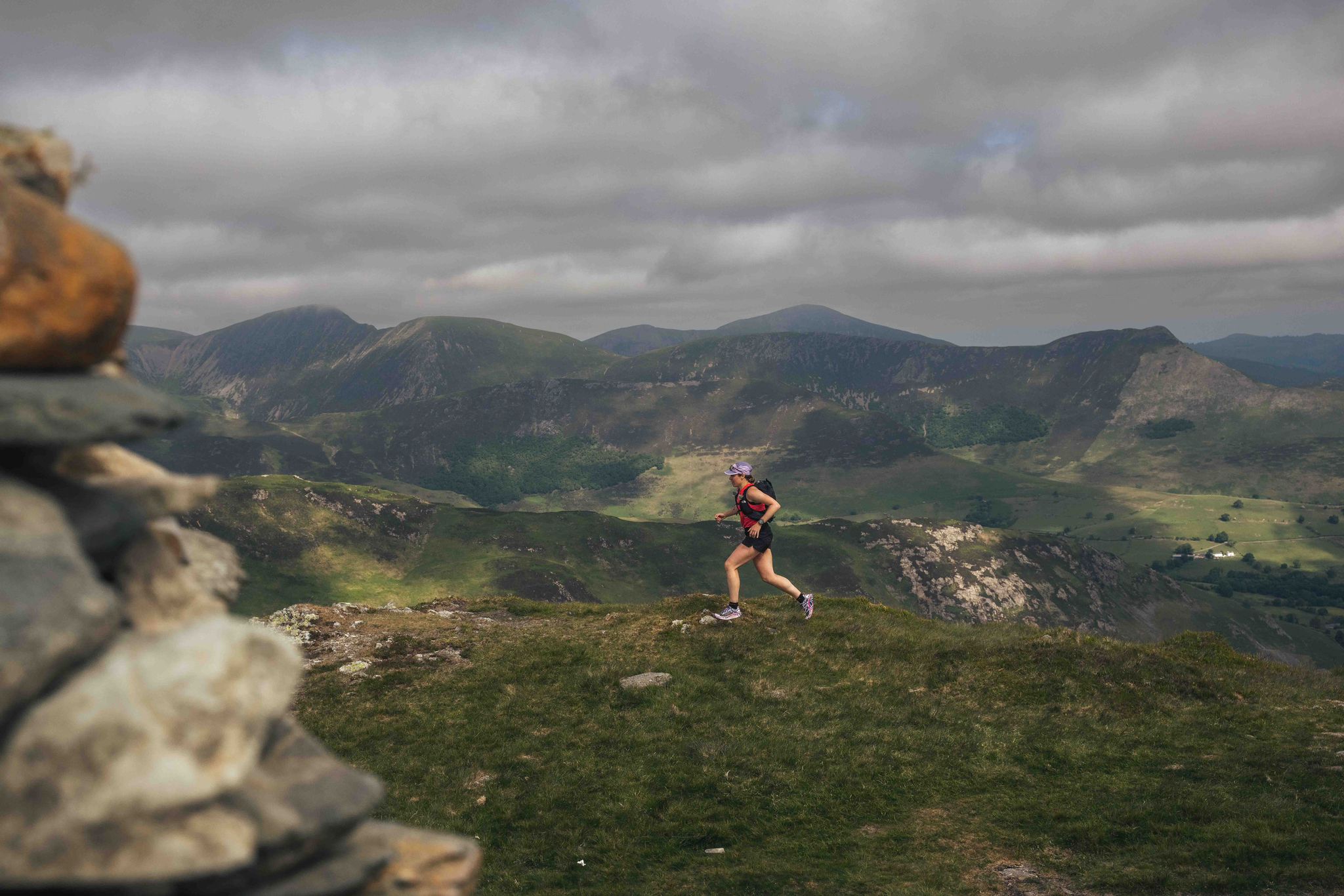
Trash Free Trails Purposeful Adventure: Running the least visited Wainwrights
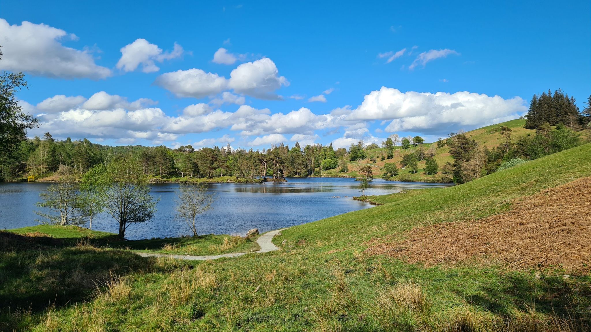
10 sublime lakeside trail runs in the Lake District National Park
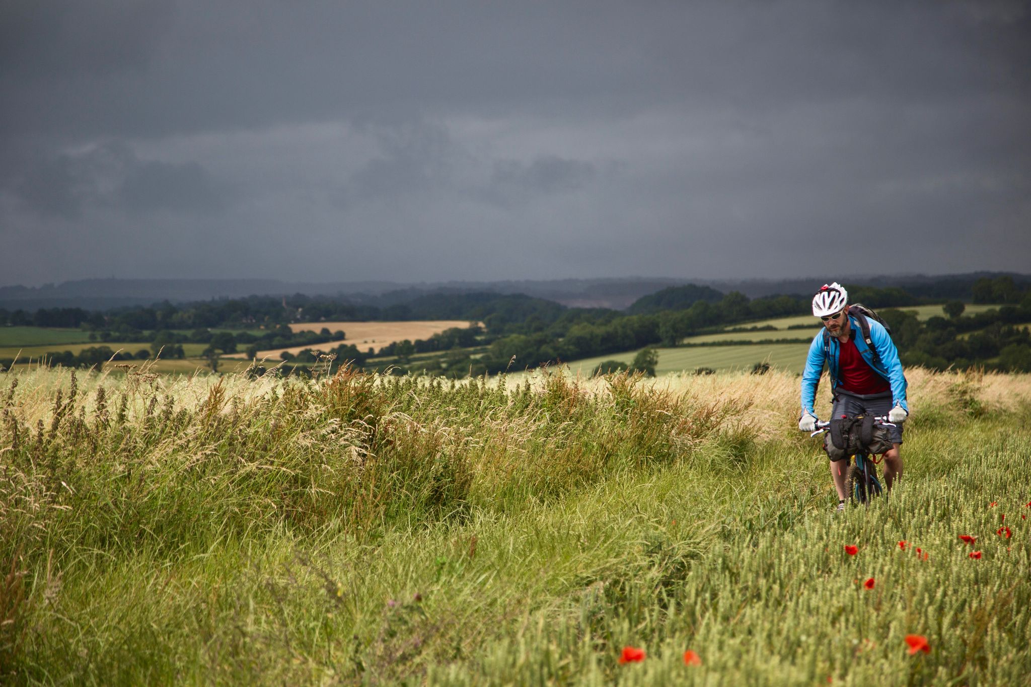
On Britain's green tracks
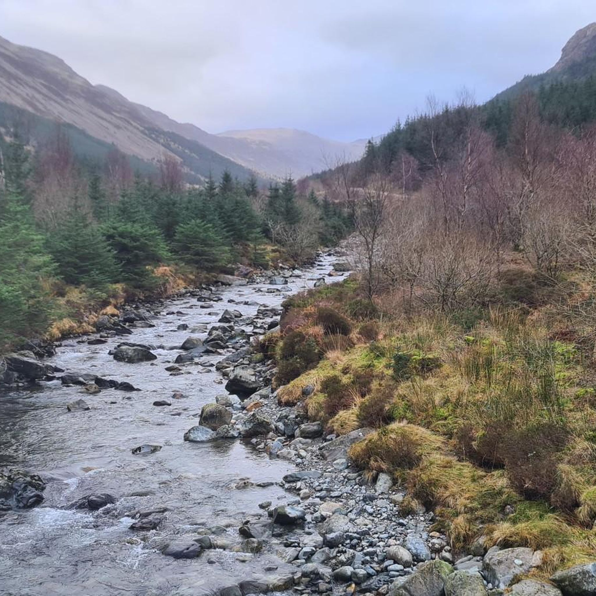
Hiking around Ennerdale And Kinniside
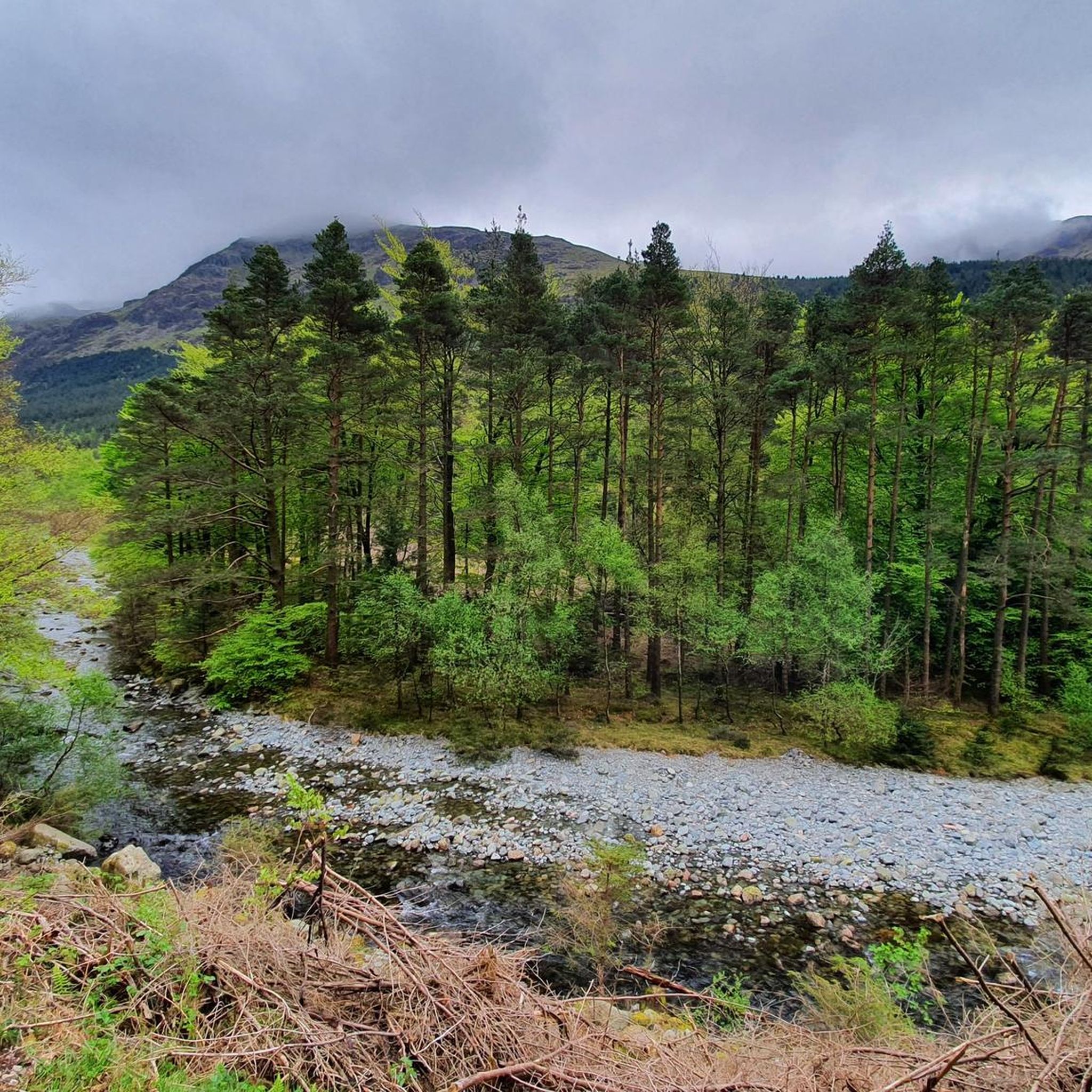
MTB Trails around Ennerdale And Kinniside
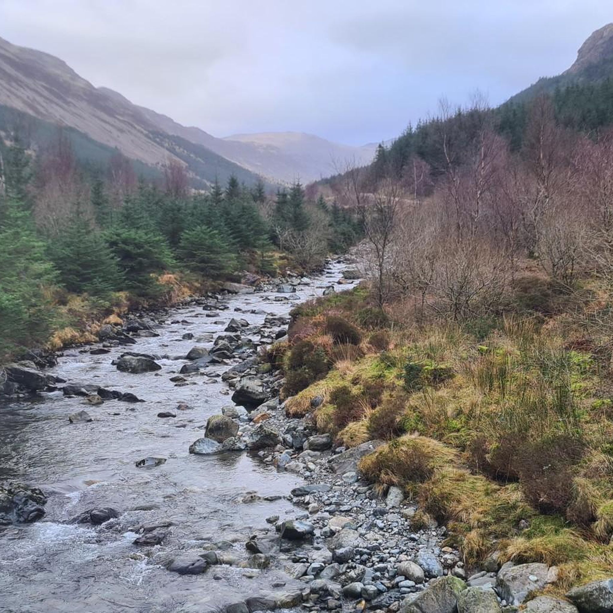
Running Trails around Ennerdale And Kinniside
Other adventures around Ennerdale And Kinniside


Tips from the Community

Amazing scenery of the lake and fells, good place for photos
0
0
The lake is fed by numerous streams including the beck from Scale Force. The River Cocker starts from here, flowing towards Cockermouth where it joins the River Derwent.
0
0

Lovely spot with a convenient bench on Brandlehow for taking in the views over Derwent Water.
0
0

This is a stunning, quiet lane running from Hawes End to the Grange, going past Borrowdale Rainforest National Nature Reserve, overlooking Derwent Water. This is pristine Lake District scenery with lush green undulating wooded scenery with a backdrop of high peaks. All this with some good quiet tarmac underneath your tires. Awesome piece of road!
1
0

Steady climb most the way to the pass then a 25% kick at the end but not for long, great views along the way
0
0

Frequently Asked Questions
What kind of terrain can I expect on gravel bike trails around Ennerdale And Kinniside?
The gravel bike trails in this region feature diverse terrain, including lakeside paths, river valleys, and mountain passes. You'll find established tracks through forested areas and open fells, offering varied riding conditions.
Are there any moderate gravel bike routes suitable for intermediate riders?
Yes, there are a couple of moderate routes available. One popular option is the Elterwater Cycling Routes – Elterwater Cycle Path loop from Great Langdale, which is about 18.2 km (11.3 miles) long with 183 meters of elevation gain.
Where can I find challenging gravel bike trails with significant elevation?
For a challenging ride with substantial elevation, consider the Crummock Water – Whinlatter Pass loop from Stair. This route covers approximately 45.7 km (28.4 miles) and features nearly 970 meters of climbing, taking you through mountain passes.
Are there any gravel bike routes that offer views of Ennerdale Water?
Absolutely. The View of Ennerdale Water – Ennerdale Water Lakeside Path loop from Grike is an excellent choice. This 28.2 km (17.5 miles) route follows a scenic lakeside path, providing beautiful vistas of Ennerdale Water.
What are some notable natural attractions or landmarks I might see while gravel biking here?
The region is rich in natural beauty. You might encounter stunning mountain peaks like Catbells Summit or Haystacks Summit. The trails often pass by significant water bodies such as Ennerdale Water and Crummock Water, and through areas like Whinlatter Pass.
Are there any long-distance gravel routes in the Ennerdale And Kinniside area?
Yes, for a longer ride, the View of Pillar – River Liza Gravel Track loop from Cleator Moor spans about 47.1 km (29.3 miles) and includes over 530 meters of elevation, offering a substantial gravel biking experience.
What do other gravel bikers say about the trails in Ennerdale And Kinniside?
The routes in Ennerdale And Kinniside are highly regarded by the komoot community, with an average score of 4.4 stars from over 10 reviews. Riders often praise the varied terrain, from tranquil lakeside paths to challenging mountain passes, and the stunning natural scenery.
Are there any loop routes for gravel biking in Ennerdale And Kinniside?
Many of the gravel bike trails in the area are designed as loops. For example, the Whinlatter Pass – Crummock Water loop from Lorton offers a circular route of approximately 36.9 km (22.9 miles) with significant climbing.
How many gravel bike trails are available in the Ennerdale And Kinniside region?
There are several gravel bike trails to explore in Ennerdale And Kinniside, with a total of 7 routes currently listed. These range from moderate to difficult, ensuring options for various skill levels.
What is the best time of year to go gravel biking in Ennerdale And Kinniside?
While specific conditions vary, the spring and autumn months generally offer pleasant temperatures and vibrant scenery, making them ideal for gravel biking. Summer can also be great, but be prepared for potentially busier trails. Winter riding is possible but requires appropriate gear and awareness of weather conditions, especially in higher elevations.
Are there any routes that follow river valleys?
Yes, the View of Pillar – River Liza Gravel Track loop from Cleator Moor specifically follows the River Liza Gravel Track, providing a scenic ride along the river valley with views towards Pillar.
Most popular routes around Ennerdale And Kinniside
Most popular attractions around Ennerdale And Kinniside

Get inspired with the komoot mobile app


Explore more
Browse the best Gravel rides in other regions.
