The best road cycling routes around Swinton And Ladykirk
4.8
(16)
738
riders
152
rides
Road cycling routes around Swinton And Ladykirk traverse the scenic Scottish Borders, characterized by the fertile agricultural lowlands of the Merse and tranquil river valleys. The region offers gently undulating terrain and quiet country roads, making it suitable for various cycling abilities. Cyclists can expect expansive views across farmland and along the River Tweed, which forms a significant natural feature of the landscape. The area's rolling hills provide a peaceful environment for outdoor exploration.
Best road cycling routes around Swinton…
Last updated: November 12, 2026
81
riders
130km
06:20
1,290m
1,290m
Hard road ride. Very good fitness required. Some segments of this route may be unpaved and difficult to ride.
17
riders
68.0km
02:49
360m
360m
Moderate road ride. Good fitness required. Mostly well-paved surfaces and easy to ride.

5.0
(1)
16
riders
38.3km
01:37
250m
250m
Easy road ride. Mostly well-paved surfaces and easy to ride.
6
riders
60.5km
02:37
470m
470m
Moderate road ride. Good fitness required. Mostly well-paved surfaces and easy to ride.
7
riders
81.9km
03:29
600m
600m
Moderate road ride. Good fitness required. Mostly well-paved surfaces and easy to ride.
Get access to more routes and recommendations from other explorers.
Already have an account?
Our route recommendations are based on thousands of hikes, rides, and runs completed by other people on komoot.
Start today with a free account
Your next adventure awaits.
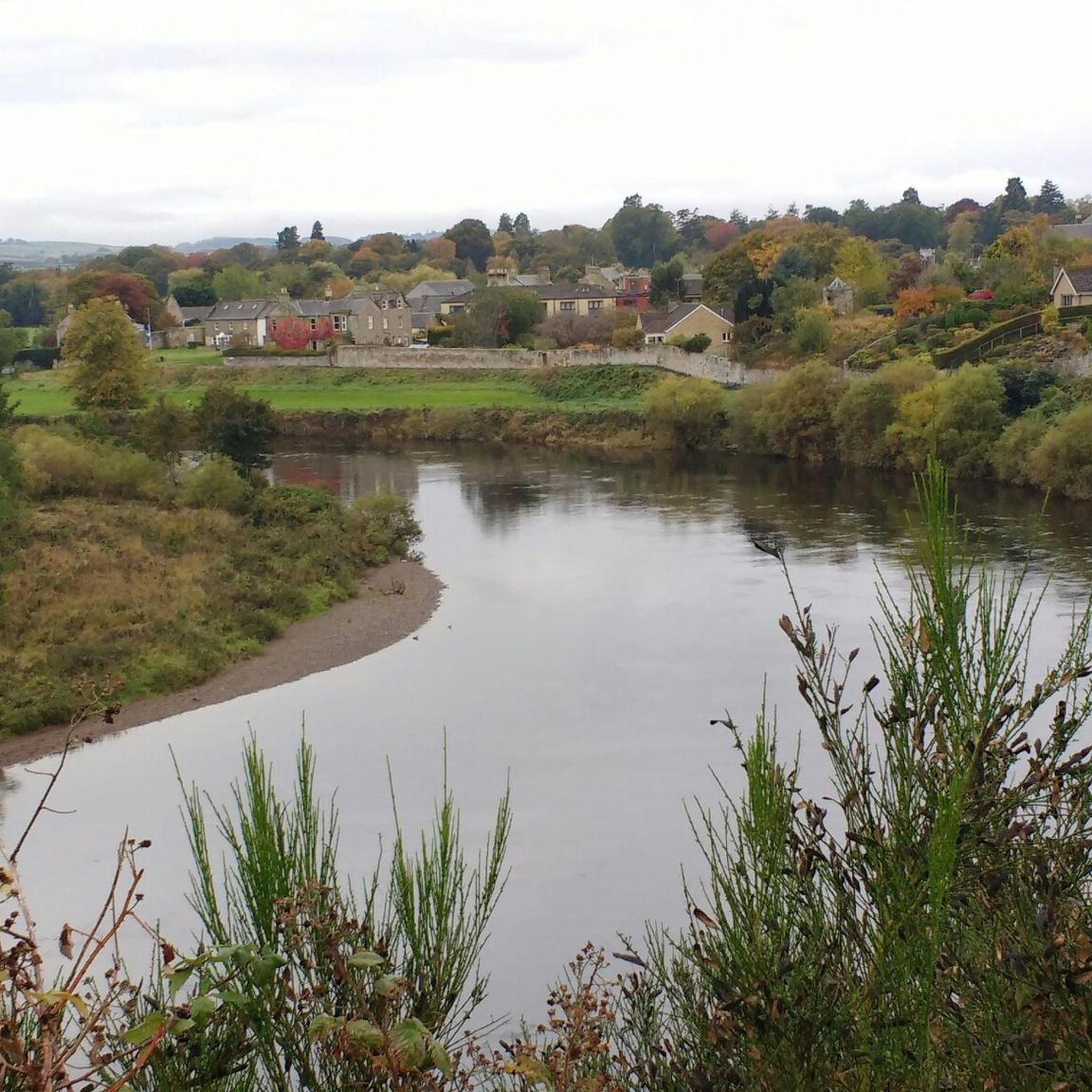
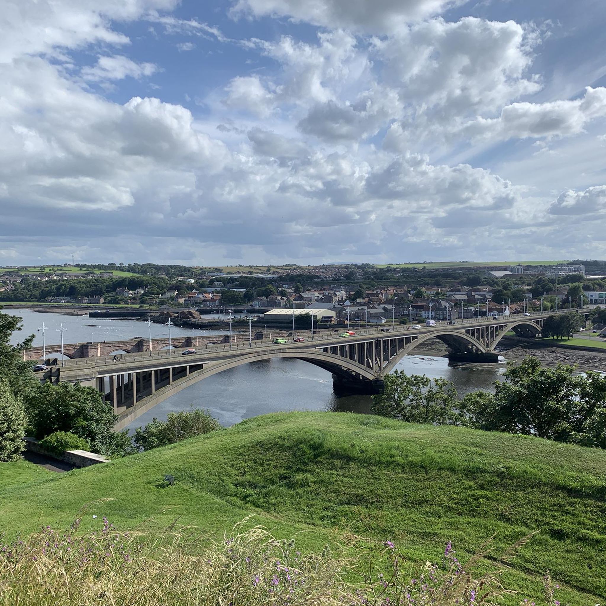
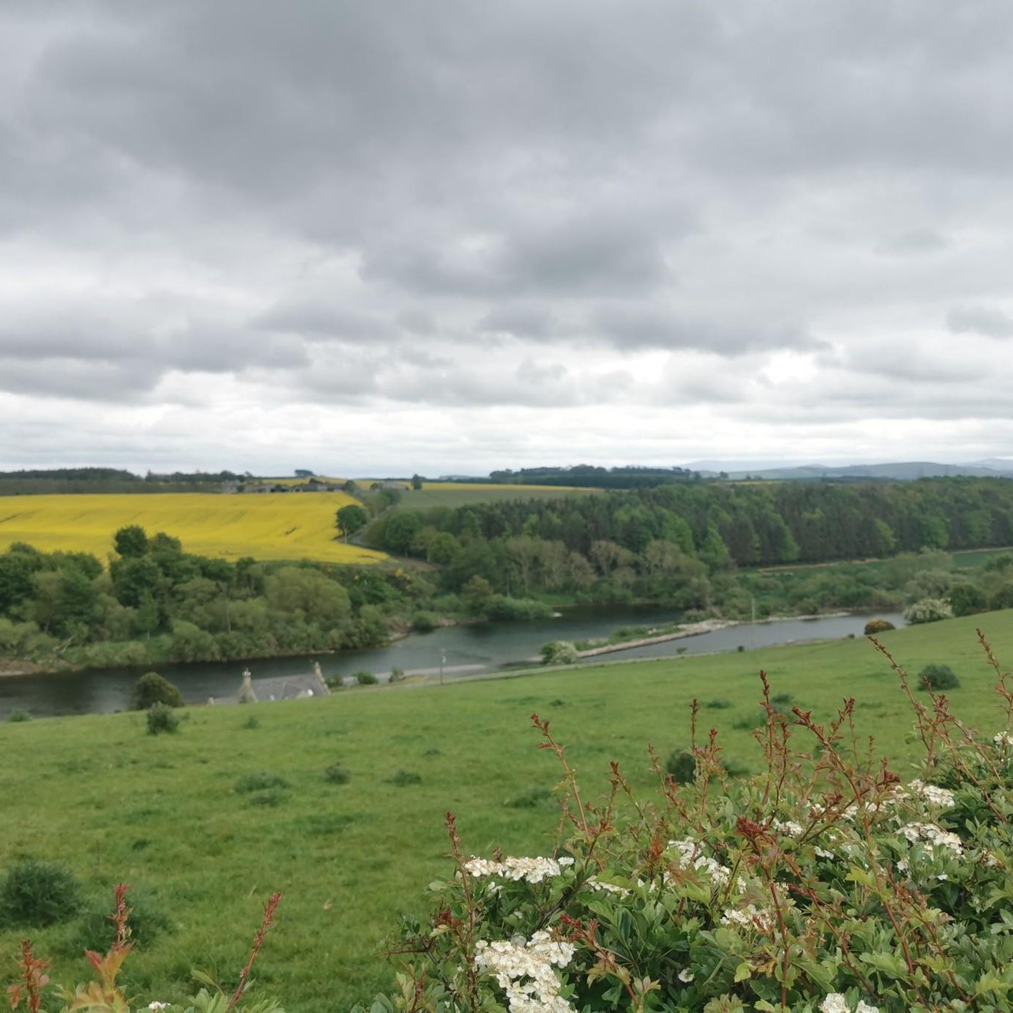
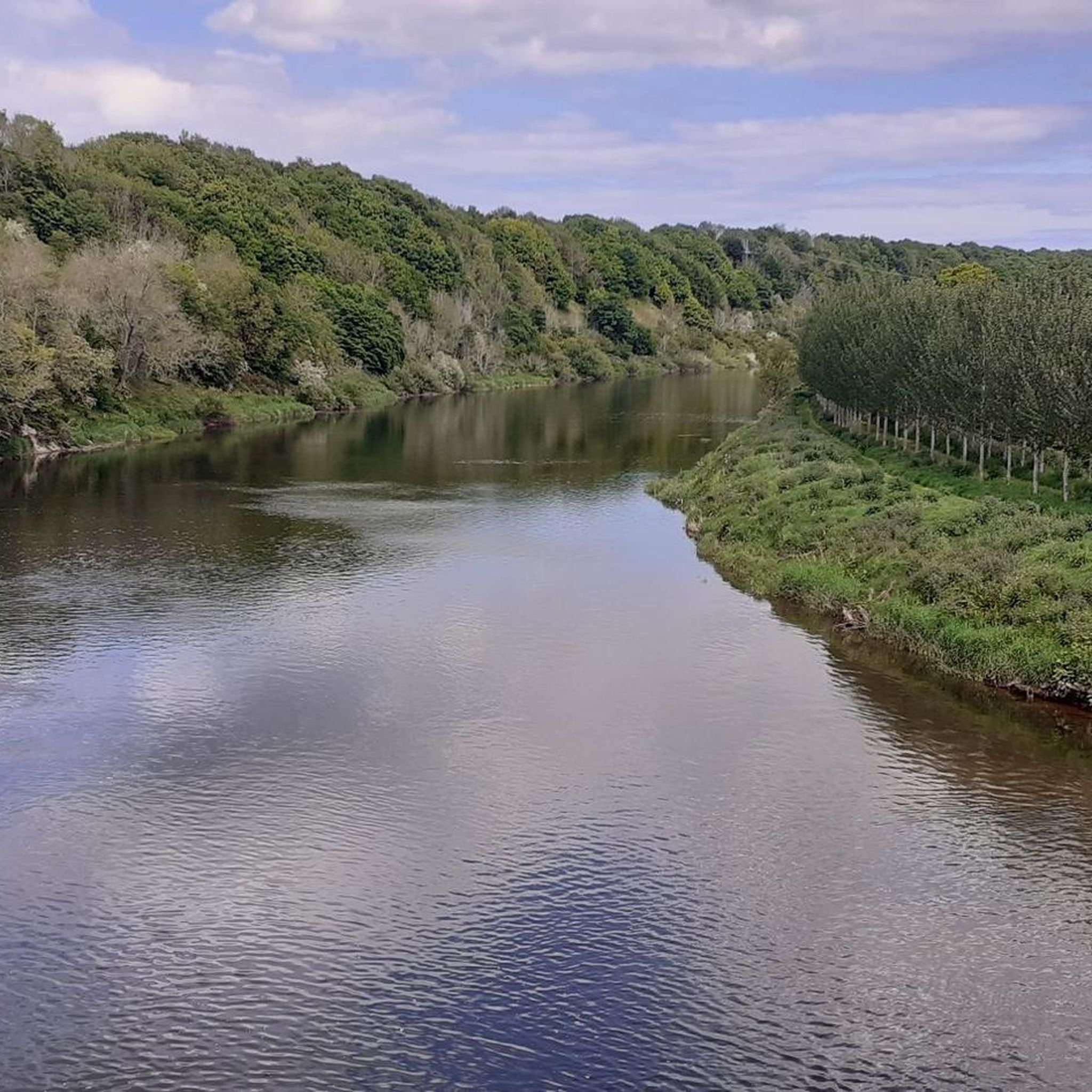
Tips from the Community


great if it rains hard on the way to the tearooms
0
0

The abbey was a major building featuring a rare double-cruciform plan with two crossings and two towers. It became the burial site for royalty.
0
0

There is a gravel cycle path that runs parallel to the road down to Beal farm. Not for ski. Y tyres though!
0
0


The end of the Pennine Way on the England/Scotland border. The hotel has a pub which serves good food & drinks. Check out the pile of shoes outside left by walkers/runners who have completed the whole 268 mile route
0
0

Frequently Asked Questions
How many road cycling routes are available around Swinton And Ladykirk?
There are over 170 road cycling routes available around Swinton And Ladykirk, catering to various skill levels. This includes 62 easy routes, 105 moderate routes, and 6 more challenging options.
What is the general terrain like for road cycling in Swinton And Ladykirk?
The terrain around Swinton And Ladykirk is characterized by gently undulating agricultural lowlands, known as the Merse, and tranquil river valleys. You'll find peaceful routes through classic Borders farmland, offering expansive 'big skies' and a sense of open space. While generally gentle, some routes, particularly towards the Lammermuir Foothills, offer more challenging climbs.
What do other cyclists say about road cycling in Swinton And Ladykirk?
The road cycling routes in Swinton And Ladykirk are highly rated by the komoot community, with an average score of 4.9 stars from more than 10 reviews. Cyclists often praise the quiet country roads, scenic farmland views, and the peaceful atmosphere of the region.
Are there any circular road cycling routes in Swinton And Ladykirk?
Yes, many of the road cycling routes in the area are designed as loops. For example, the Norham Castle Ruins – Wooler Town Centre loop from Norham is a challenging 80.5-mile route, while the Norham Village Centre – Norham Castle Ruins loop from Norham offers a moderate 42.2-mile option.
What historical landmarks can I see while road cycling near Swinton And Ladykirk?
The region is rich in history. You can cycle past impressive sites such as the Norham Castle Ruins, a significant Grade-I listed castle. The Union Bridge (Tweed), the oldest suspension bridge in the world still carrying road traffic, is another notable landmark. Ladykirk Church, a unique 16th-century stone church, also offers a fascinating point of interest.
Are there any scenic viewpoints or natural features along the routes?
Absolutely. The River Tweed is a prominent natural feature, offering scenic riverside paths and views, particularly near Ladykirk. Cyclists will also enjoy expansive views across rolling hills and rich agricultural land, providing a tranquil environment. The Henderson Park Viewpoint is another spot to take in the scenery.
Are there family-friendly road cycling routes in Swinton And Ladykirk?
Yes, the area offers numerous easy routes suitable for families. With 62 easy routes available, many feature gently undulating terrain and quiet country roads, making them ideal for a relaxed family outing. A good example is the Norham Castle Ruins – Norham Village Centre loop from Swinton, which is 23.8 miles long and leads through gently rolling farmland.
What is the best time of year to go road cycling in Swinton And Ladykirk?
The Scottish Borders generally offer pleasant cycling conditions from spring through autumn. These seasons provide milder weather and longer daylight hours, allowing you to fully enjoy the picturesque landscapes and tranquil roads. While winter cycling is possible, be prepared for colder temperatures and potentially wet conditions.
Are there options for advanced road cyclists seeking a challenge?
Yes, while much of the area is gently undulating, there are routes that offer a significant challenge. For instance, the Norham Castle Ruins – Wooler Town Centre loop from Norham is an 80.5-mile route with over 1200 meters of elevation gain, classified as difficult. The wider Scottish Borders region, particularly towards the Lammermuir Foothills, also provides routes with more demanding climbs and descents.
Where can I find parking for road cycling routes in Swinton And Ladykirk?
While specific parking areas aren't detailed, villages like Swinton and Norham serve as common starting points for many routes. You can typically find parking in or near these village centers. It's always advisable to check local signage for parking restrictions.
Can I find routes that include charming villages or stops for refreshments?
Many routes pass through or near charming villages, offering opportunities for breaks. The 'Swinton & Chirnside' loop, for example, showcases gentle farmland landscapes and charming village stops. The Norham Village Centre – Etal Village and Castle Ruins loop from Norham also takes you through picturesque areas where you might find local amenities.
Are there any resources for cycling in the wider Scottish Borders region?
Yes, for more information on cycling in the broader Scottish Borders area, you can visit the official council website: scotborders.gov.uk. Another useful resource for trails in the wider Berwickshire area is visitberwickshirecoast.co.uk.
Most popular routes around Swinton And Ladykirk
Most popular attractions around Swinton And Ladykirk

Get inspired with the komoot mobile app


Explore more
Browse the best Road cycling routes in other regions.
