The best walks and hikes around Fort William, Inverlochy And Torlundy
4.3
(5867)
43,131
hikers
178
hikes
Hikes around Fort William, Inverlochy and Torlundy are set in the Scottish Highlands, a region defined by high mountains, deep glens, and large lochs. The area is home to Ben Nevis, the highest peak in the British Isles, and the landscape is carved by the River Lochy and Water of Nevis. The terrain offers a mix of challenging mountain ascents, forest paths, and routes to features like Steall Falls.
Best hiking trails around Fort William, Inverlochy And Torlundy
- The most popular hiking route is Ben Nevis from Glen Nevis, a 10.1 mile (16.3 km) trail that takes around 6 hours 20 minutes to complete. This is a difficult hike involving a significant ascent to the summit of the highest mountain in the UK.
- Another top favourite among local hiking enthusiasts is Steall Waterfall and Glen Nevis, a moderate 2.5 mile (4.0 km) path. The route follows a trail through the Nevis Gorge to a viewpoint of Scotland's second-highest waterfall.
- Local hiking enthusiasts also love the Cow Hill loop from Fort William, a 6.5 mile (10.4 km) trail leading through forest and moorland, often completed in about 3 hours.
- Hiking around Fort William, Inverlochy and Torlundy is defined by ascents of Munros, walks through glens, and paths alongside lochs. The network of more than 180 routes offers options for different ability levels, from short walks to challenging mountain days.
- The routes in Fort William, Inverlochy And Torlundy are highly rated by the komoot community with an average score of 4.3 stars from over 4,600 reviews. More than 37,000 hikers have used komoot to explore Fort William, Inverlochy And Torlundy's varied terrain.
Last updated: August 31, 2026
4.7
(1595)
13,741
hikers
16.3km
06:21
1,310m
1,310m
Embark on the Ben Nevis Mountain Path, a difficult hike that takes you to the summit of the UK's highest peak. This challenging route covers 10.1 miles (16.3 km) and involves a significant elevation gain of 4303 feet (1312 metres), typically requiring 6 hours and 21 minutes to complete. As you ascend, the path gradually transforms from a clear track to a rockier, more rugged terrain, offering views across Glen Nevis towards the impressive Mamores. You will pass the tranquil Lochan Meall an t-Suidhe, often known as the 'Halfway Lochan', before continuing your climb. The upper sections become rough and stony, traversing boulders and scree as you zig-zag towards the top. On a clear day, the summit rewards you with expansive 360-degree panoramic views.
Before you set out, be aware that weather conditions on Ben Nevis can change very quickly. The summit is often much colder than the base, even during summer months, so pack appropriate layers. Poor visibility can make navigation challenging on the vast and featureless upper mountain plateau; cairns are there to help guide your way. Always check the forecast before you begin your hike and plan your start time to allow ample daylight for the full duration of the route.
This trail is notable as the most popular and straightforward route to the top of Ben Nevis, the highest mountain in Scotland and the entire United Kingdom. The mountain itself is an ancient volcano, though its current form is largely shaped by glacial erosion. The path offers a unique opportunity to experience the dramatic scale of the Scottish Highlands, from the lower glens to the exposed, high-altitude environment of the summit plateau. It is a classic Scottish hiking experience.
4.8
(362)
2,827
hikers
3.97km
01:19
100m
100m
Embark on a moderate hike through the dramatic Nevis Gorge to reach the magnificent Steall Waterfall, Scotland's second-highest cascade. This 2.5-mile (4.0 km) route, with an elevation gain of 340 feet (104 metres), takes approximately 1 hour and 19 minutes to complete. You will navigate a rocky, uneven path with sections requiring scrambling, passing through ancient woodlands and alongside the roaring River Nevis, before emerging into the picturesque Steall Meadow.
While generally considered easy to moderate, the trail demands sure-footedness and sturdy footwear due to its varied terrain, including steep drops and potentially slippery surfaces. The path has a "rollercoaster" feel with various ascents and descents, so be prepared for a dynamic experience. If you are looking for a longer option, a 9-kilometre (3-hour) route is also available, starting from the Lower Falls car park.
The Steall Waterfall and Glen Nevis trail is notable for its stunning natural features and unique attractions. You can experience the thrill of crossing the Water of Nevis via an optional three-wire bridge, or simply wade across. This area is also famous as a filming location for several Harry Potter movies, adding a touch of cinematic magic to your adventure, and offers opportunities to spot wildlife like red deer and golden eagles.

Sign up for free
4.7
(190)
1,367
hikers
17.9km
07:58
1,420m
1,420m
Embark on a challenging hike up Ben Nevis via the Càrn Mòr Dearg Arête, a difficult route spanning 11.1 miles (17.9 km). This adventure involves a significant elevation gain of 4669 feet (1423 metres) and typically takes around 7 hours and 58 minutes to complete. As you traverse the exposed arête, you will experience dramatic drops on both sides, offering expansive views of the Scottish Highlands and the majestic North Face of Ben Nevis.
This demanding trail is best suited for experienced mountain walkers who are in good physical shape and comfortable with heights. It is not recommended for beginners due to its technical sections and exposure. If you plan to hike in winter, you must carry an ice axe and crampons, and possess the skills to use them safely. Always be prepared for rapidly changing weather conditions and challenging navigation, especially if visibility is poor.
Many consider this the most rewarding way to ascend Ben Nevis, offering a unique perspective of the UK's highest peak. From the summit of Càrn Mòr Dearg, you gain an exceptional vantage point, providing superb views of Ben Nevis itself and a full 360-degree panorama of the surrounding landscape. Even when clouds obscure the peaks, the rugged beauty of the area maintains an otherworldly magnificence.
4.6
(323)
1,250
hikers
10.4km
03:04
300m
300m
Embark on the Cow Hill Circuit, a moderate hike spanning 6.5 miles (10.4 km) with an elevation gain of 987 feet (301 metres), typically completed in about 3 hours and 4 minutes. This route guides you through a varied landscape, transitioning from peaceful deciduous woodlands to structured forestry plantations and expansive open moorland. As you ascend, you'll be treated to sweeping panoramic vistas of Loch Linnhe and Fort William from the summit of Cow Hill. Keep an eye out for the majestic Ben Nevis Range in the distance, a truly iconic sight. The trail offers a refreshing blend of natural beauty and rewarding views, making it a perfect outing for a few hours.
Accessing the Cow Hill Circuit is straightforward, with several convenient entry points available directly from Fort William town center. You can also begin your hike from the Braveheart Car Park located in Glen Nevis, offering another easy starting point. The route remains popular throughout the year, so you can plan your visit whenever suits you best. However, be prepared for potentially muddy sections, especially after heavy rainfall, and consider wearing waterproof footwear to ensure a comfortable experience.
This circuit is particularly notable for its accessibility and the diverse ecosystems you encounter along the way. You will traverse through different types of forest before reaching the open moorland, providing a dynamic hiking environment. The trail also offers a chance to spot wild blueberry and raspberry plants, adding a delightful touch to your journey. It serves as an excellent introduction to the stunning natural beauty surrounding Fort William, providing impressive views without requiring an overly strenuous effort.
4.8
(46)
578
hikers
17.2km
08:01
1,340m
1,340m
Hike the difficult Ring of Steall, a 10.7-mile (17.2 km) route in the Mamores with 4386 feet (1337 metres) of elevation gain and stunning vi
Get access to more routes and recommendations from other explorers.
Sign up for free
Already have an account?
Our route recommendations are based on thousands of hikes, rides, and runs completed by other people on komoot.
Start today with a free account
Your next adventure awaits.
Login or Signup
Popular around Fort William, Inverlochy And Torlundy
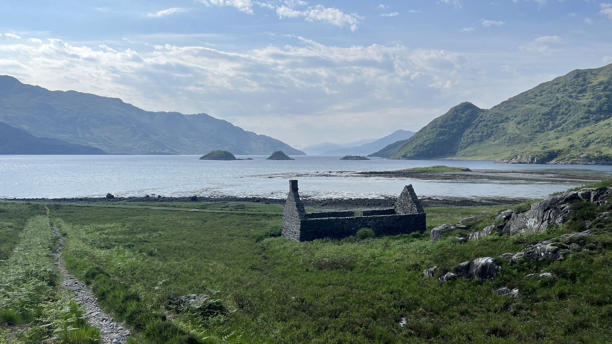
Cape Wrath Trail – Scotland’s wildest and most spectacular hiking route
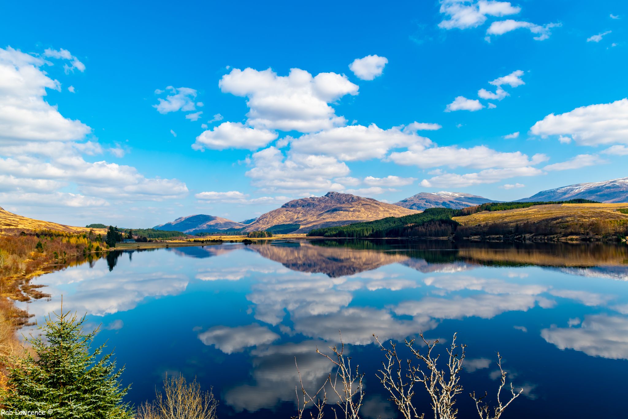
East Highland Way — Hike through Scotland's remote, mountainous heart
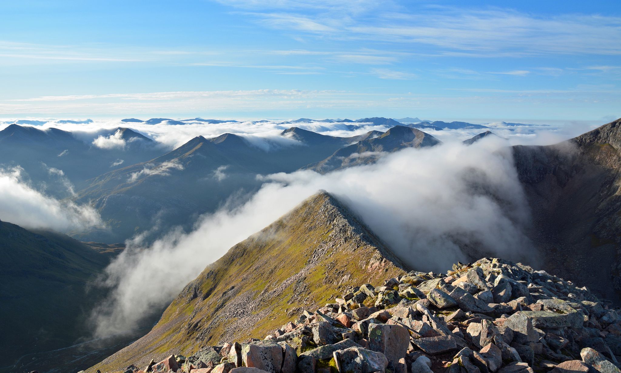
Charlie Ramsay Round — Feet in the clouds, hiking Scotland's Highlands
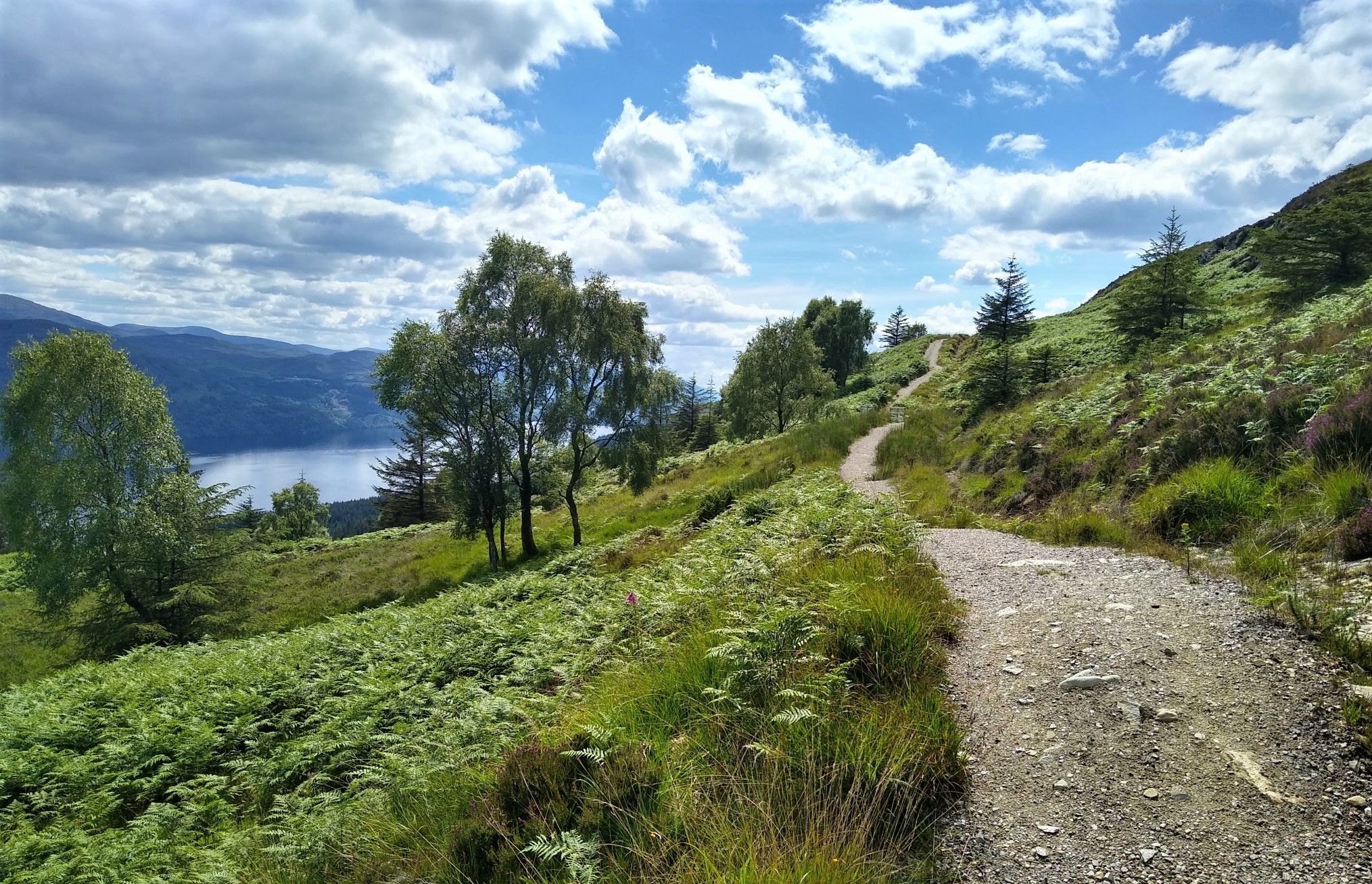
Great Glen Way: An epic coast-to-coast across the Highlands

Walk Britain – 90 car-free adventures in England, Wales and Scotland
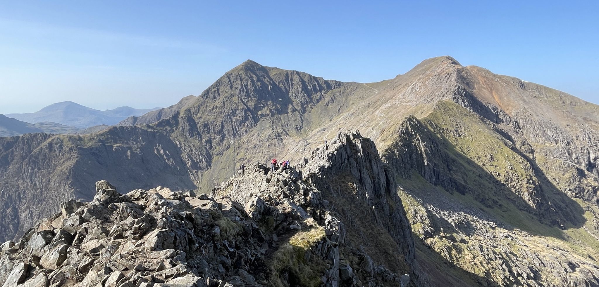
Sublime Ridges and Superb Rock – Awesome British Scrambles
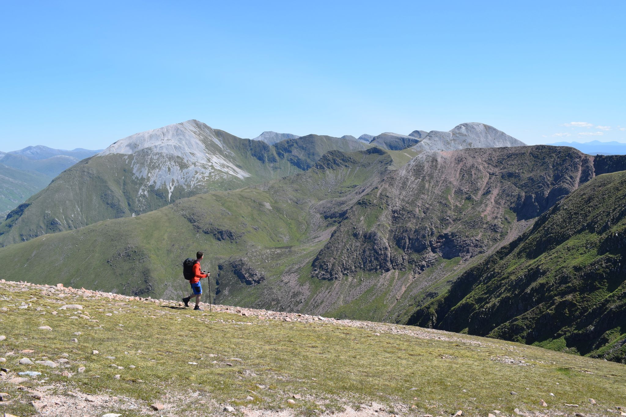
Discover the heart of the Highlands – hiking in Glen Nevis
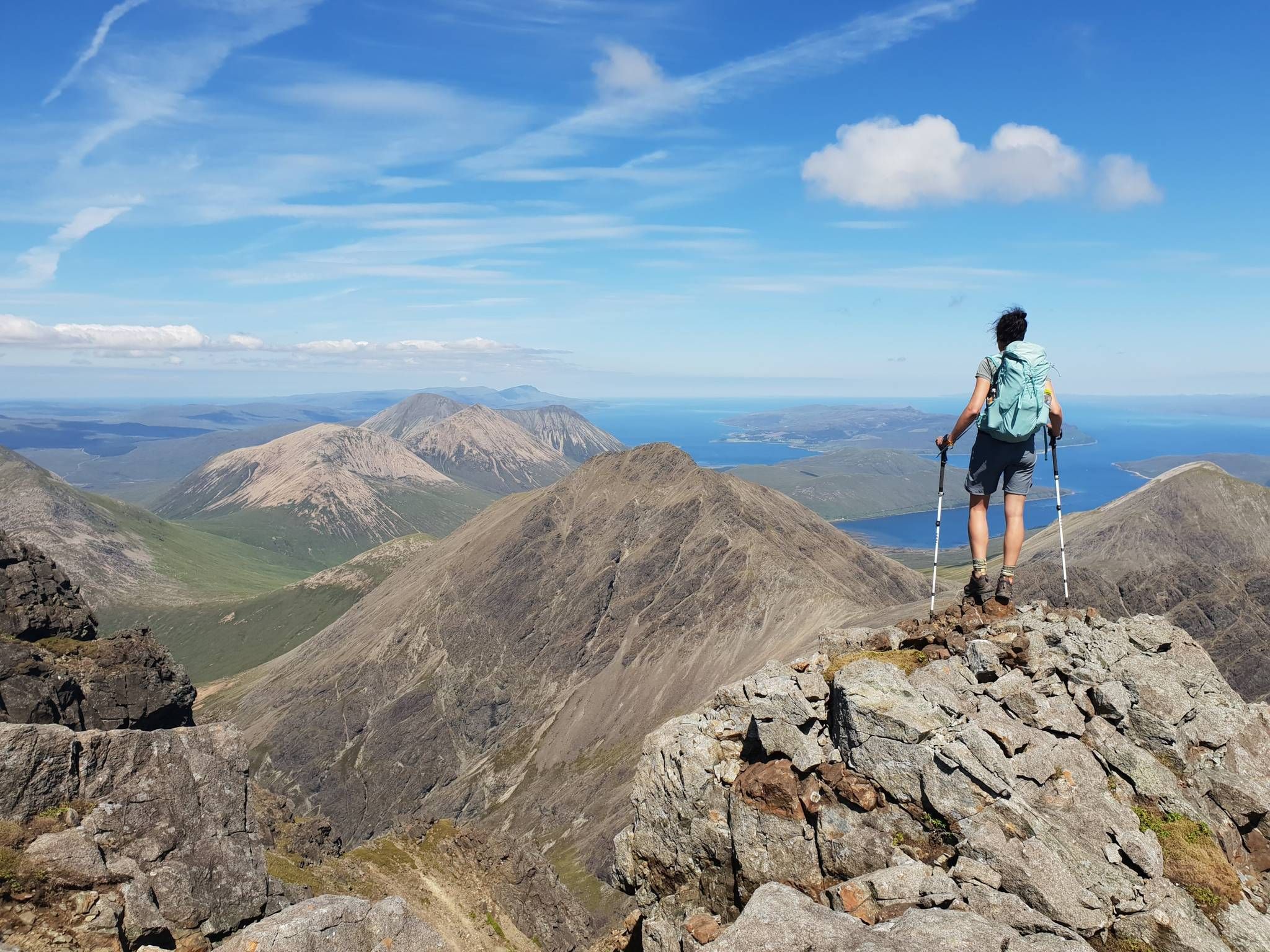
Hiking the 282 munro mountains of Scotland in 95 routes
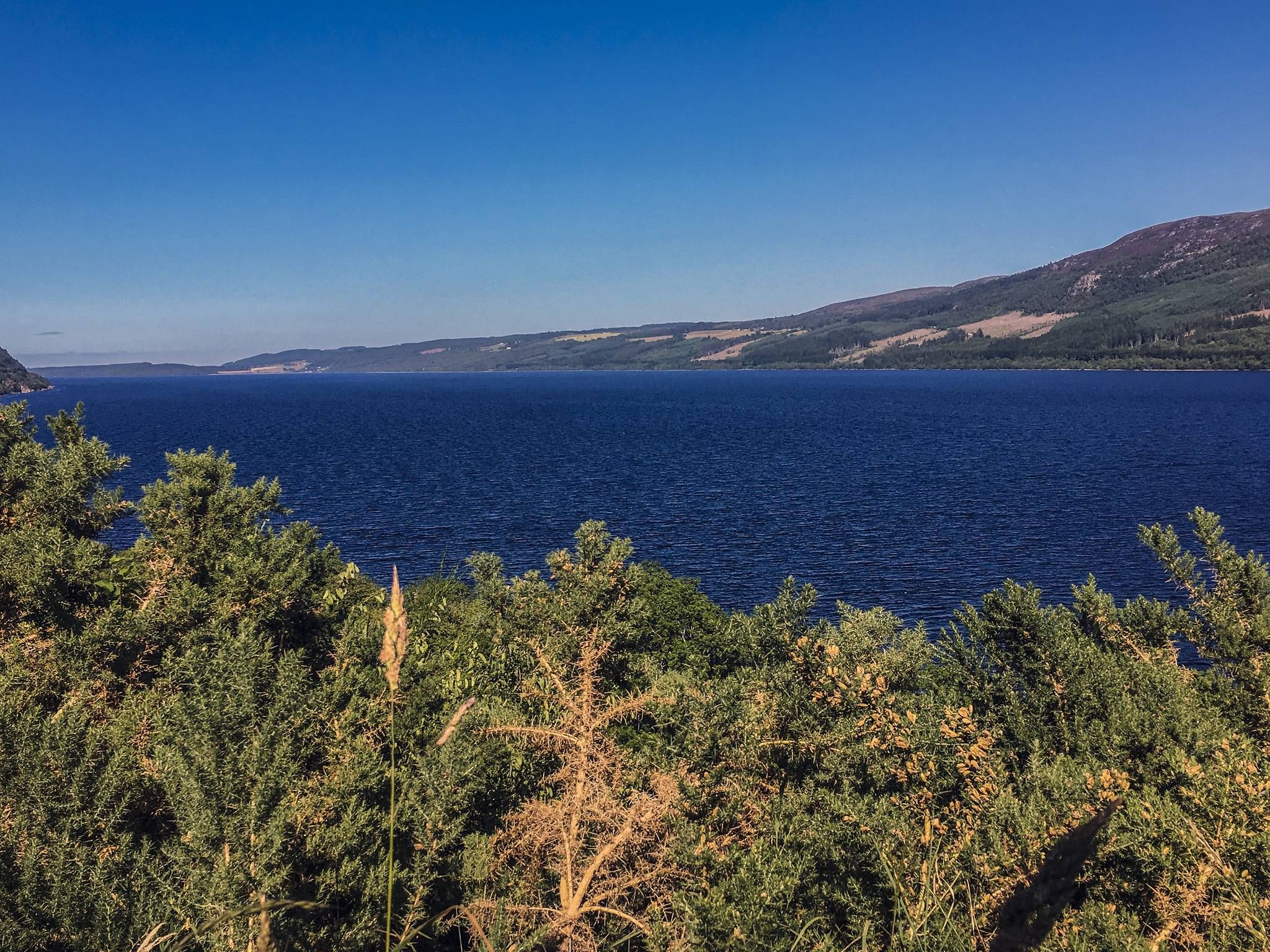
Caledonia Way – Cycling Coast to Coast through the Scottish wilds
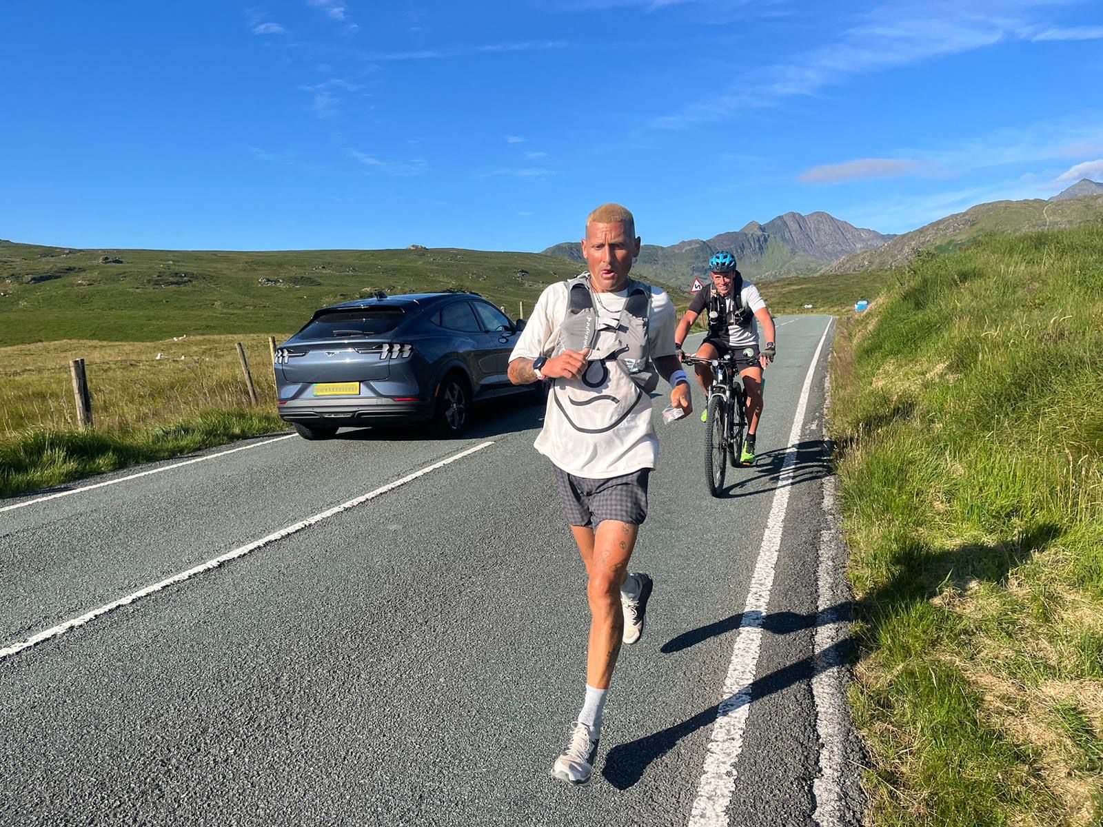
Supporting the National Three Peaks FKT in true Green Runners’ Style
Other adventures around Fort William, Inverlochy And Torlundy


Tips from the Community

If the conditions are dry, and you're not afraid of heights, absolutely go for it. It's brilliant.
0
0

Made it! After over 150km and 7 stages, you reach the end point of the West Highland Way. A selfie at the information board standing there, or at the statue "The Wanderer with the sore feet" is obligatory here :-)
0
0

Scary name - but straight forward to walk! Gives expansive views across to Ben Nevis.
1
0


Amazing scramble with great views of Ben Nevis and the ridge along the way
0
0

You're in for a treat with the scree surfing descent of this Munro into Glen Nevis. Let gravity take you!
0
0

Beautiful area! A valley panorama serves as the backdrop for Harry Potter's Quidditch match.
0
0

It is difficult for children under 13 years or 1.50m to cross the bridge because their arms are eventually too short to hold on to both ropes. But you can cross the two streams 50-100m upstream in shallower places if you take off your shoes and roll up your trousers.
0
0
Frequently Asked Questions
How many hiking trails are there around Fort William?
There are over 180 hiking routes to explore around Fort William, Inverlochy, and Torlundy. The network includes 70 easy trails perfect for relaxed days, 78 moderate routes for a good challenge, and 32 difficult hikes for experienced mountaineers.
What do other hikers enjoy most about the Fort William area?
The region is highly regarded by the komoot community, with thousands of reviews averaging 4.3 stars. Hikers frequently praise the sheer variety of landscapes, from the epic challenge of scaling Munros to peaceful walks through ancient glens and along the shores of vast lochs.
Are there any easy, family-friendly walks in the area?
Yes, the area offers several options for families. A pleasant walk follows the River Lochy from the historic Old Fort to the 13th-century ruins of Old Inverlochy Castle. For a very accessible and scenic spot, the Lower Falls in Glen Nevis are viewable from a road bridge, making it a great stop for all ages.
What is the best way to see a spectacular waterfall?
While Steall Falls is the most famous, another fantastic option is Inchree Falls. A series of well-maintained paths lead you up through the forest to various viewpoints, offering impressive views of the cascades as they tumble down the glen. It's a popular and rewarding walk.
Are dogs allowed on the hiking trails?
Dogs are welcome on most trails in the Scottish Highlands, but they should be kept under control, especially near livestock. For a post-hike refreshment, many pubs in and around Fort William are dog-friendly, allowing you to relax with your four-legged companion after a day of exploring.
Can I climb Ben Nevis via a different route from the main tourist path?
For experienced and well-equipped mountaineers, the Càrn Mòr Dearg Arête (CMD) & Ben Nevis loop offers a classic and thrilling alternative. This challenging Grade 1 scramble provides breathtaking views of the mountain's North Face and is considered one of Scotland's finest ridge walks.
Are there any challenging ridge walks besides Ben Nevis?
Absolutely. The Ring of Steall is a world-class high-level mountain traverse in the Mamores range. This demanding route covers four Munros and involves sections of scrambling, rewarding hikers with some of the most spectacular panoramic views in the Highlands.
What is the best time of year to hike around Fort William?
The main hiking season is from late spring to early autumn (May to September) when the weather is generally milder and daylight hours are longer. However, the Scottish weather is notoriously unpredictable. Always be prepared for rain, wind, and sudden temperature changes, even in summer. Winter hiking requires specialized equipment and experience due to snow and ice.
How can I access trails using public transport?
Fort William is a major hub with good bus and train connections. Local buses run from the town centre up Glen Nevis, providing access to the start of many popular trails, including those for Ben Nevis and Steall Falls. This is a great option to avoid parking issues during peak season.
Where can I find a good circular walk from Fort William?
The Cow Hill loop from Fort William is a fantastic choice that starts right from the town. This moderate trail takes you through forest and open moorland, offering excellent views over Fort William and Loch Linnhe without the need to drive to a trailhead.
What should I wear for hiking in the Scottish Highlands?
Dressing in layers is key. You'll need a moisture-wicking base layer, a warm mid-layer like a fleece, and a fully waterproof and windproof outer jacket and trousers. Sturdy, waterproof hiking boots with good grip are essential. Always carry a hat and gloves, as conditions can change rapidly, especially at higher elevations.
Are there any historical walks near Inverlochy?
Yes, you can explore the area around Old Inverlochy Castle, a 13th-century ruin with a rich history. A pleasant path connects it to the site of the Old Fort in Fort William along the River Lochy. Further afield, you can hike to the site of Dun Deardail, an ancient vitrified fort perched on a hilltop with commanding views over Glen Nevis.
Most popular routes around Fort William, Inverlochy And Torlundy
Most popular attractions around Fort William, Inverlochy And Torlundy

Get inspired with the komoot mobile app


Explore more
Browse the best Hikes in other regions.
