The best walks and hikes around Bettyhill, Strathnaver And Altnaharra
4.4
(231)
1,797
hikers
18
hikes
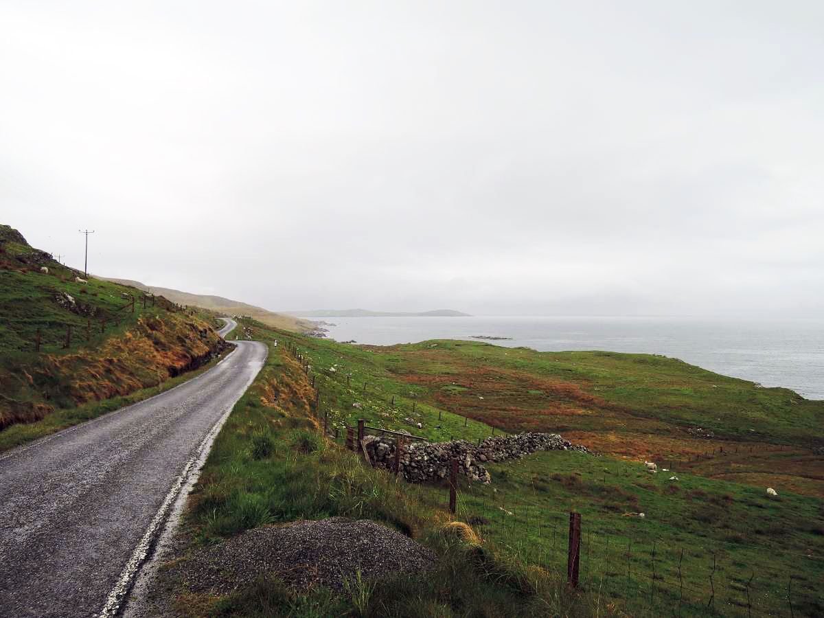
Hiking around Bettyhill, Strathnaver And Altnaharra offers a diverse landscape characterized by coastal scenery, expansive moorland, and inland lochs. The region features a mix of sandy beaches, dramatic cliffs, and heather-clad hills, shaped by ancient glaciers. Rivers carve valleys and create waterfalls, while the Flow Country near Altnaharra presents vast peatlands. This varied terrain provides a range of hiking experiences from coastal paths to hill ascents.
Best hiking trails around Bettyhill, Strathnaver And Altnaharra
- The most popular hiking route is Torrisdale Bay to Bettyhill Beach loop, a 12.6 miles (20.2 km) trail that takes 5 hours 40 minutes to complete. This difficult route features significant elevation gain and coastal views.
- Another top favourite among local hikers is Borgie Forest & the River Borgie loop from Borgie Bridge — Kyle of Tongue, an easy 1.2 miles (1.9 km) path. This route leads through wooded landscapes alongside the River Borgie.
- Local hikers also love the Strathy Point Lighthouse loop from Glas-eilean Beag, a 1.3 miles (2.2 km) trail leading through coastal terrain, often completed in about 35 minutes.
- Hiking around Bettyhill, Strathnaver And Altnaharra is defined by coastal paths, open moorland, and lochside trails. The network offers options for various ability levels, from easy walks to more challenging hill climbs.
- The routes in Bettyhill, Strathnaver And Altnaharra are highly rated by the komoot community with an average score of 4.4 stars from over 170 reviews. More than 1,400 hikers have used komoot to explore Bettyhill, Strathnaver And Altnaharra's varied terrain.
Last updated: November 12, 2026
4.3
(3)
13
hikers
20.2km
05:40
390m
390m
Hard hike. Very good fitness required. Easily walkable paths.
Easy hike. Easily walkable paths.

4.4
(8)
69
hikers
Easy hike. Easily walkable paths.
4.6
(16)
63
hikers
Easy hike. Easily walkable paths.
11
hikers
10.6km
02:55
160m
160m
Moderate hike. Good fitness required. Easily walkable paths.
Get access to more routes and recommendations from other explorers.
Already have an account?
Our route recommendations are based on thousands of hikes, rides, and runs completed by other people on komoot.
Start today with a free account
Your next adventure awaits.
Popular around Bettyhill, Strathnaver And Altnaharra
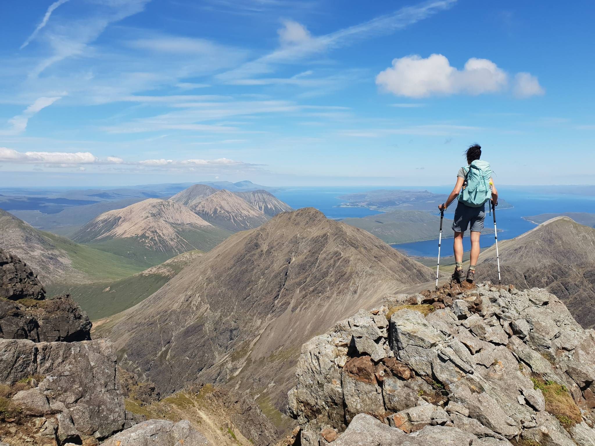
Hiking the 282 munro mountains of Scotland in 95 routes
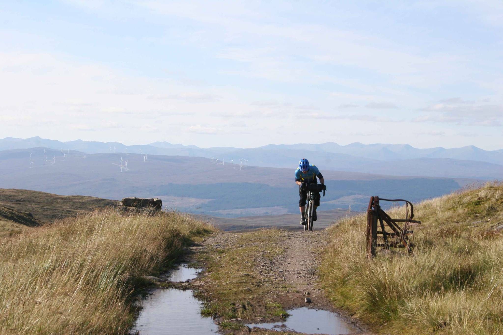
GB Divide — Great Britain end to end off-road on GBDURO
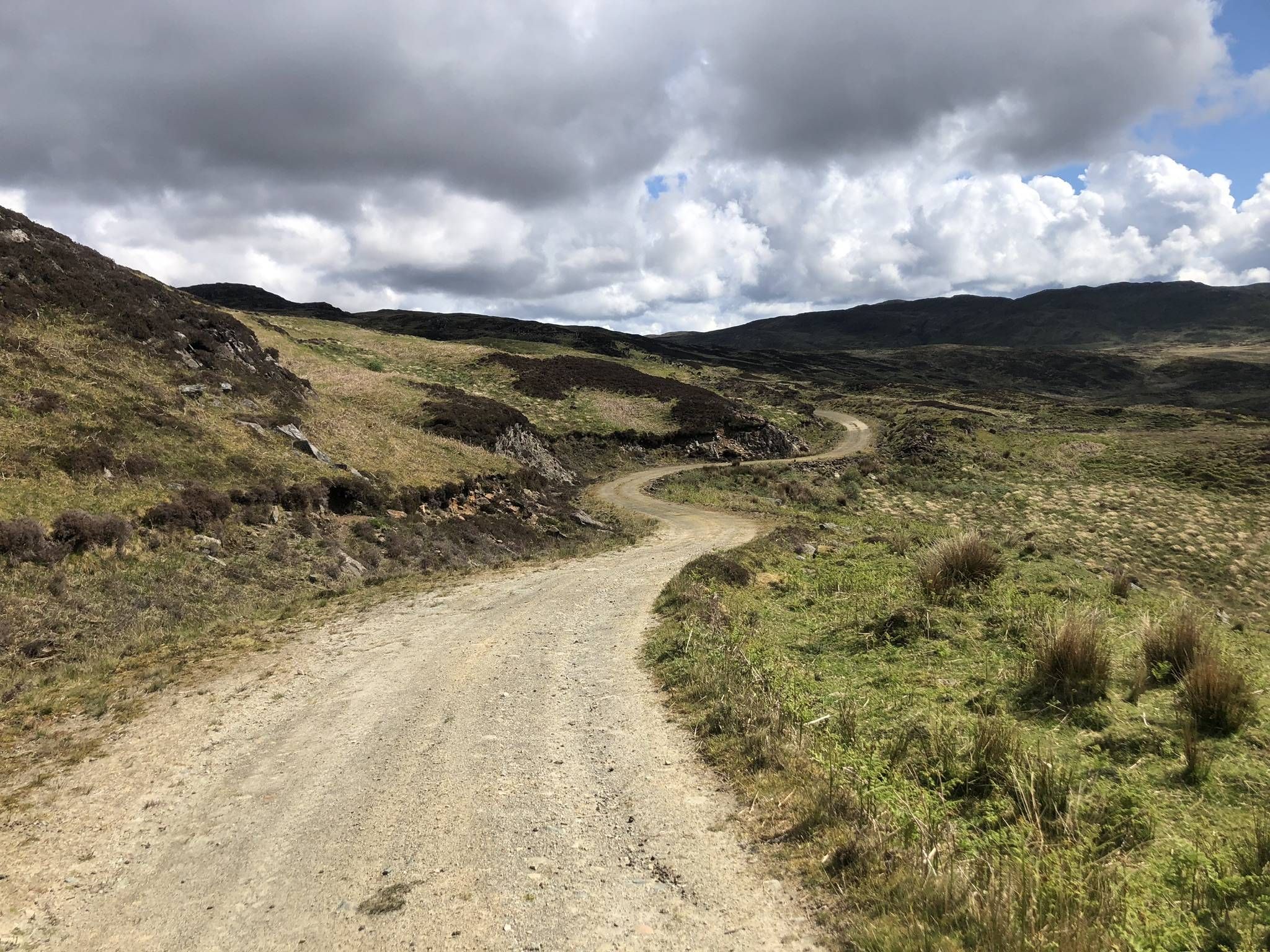
The Faultline Trail — Scotland tip to tip
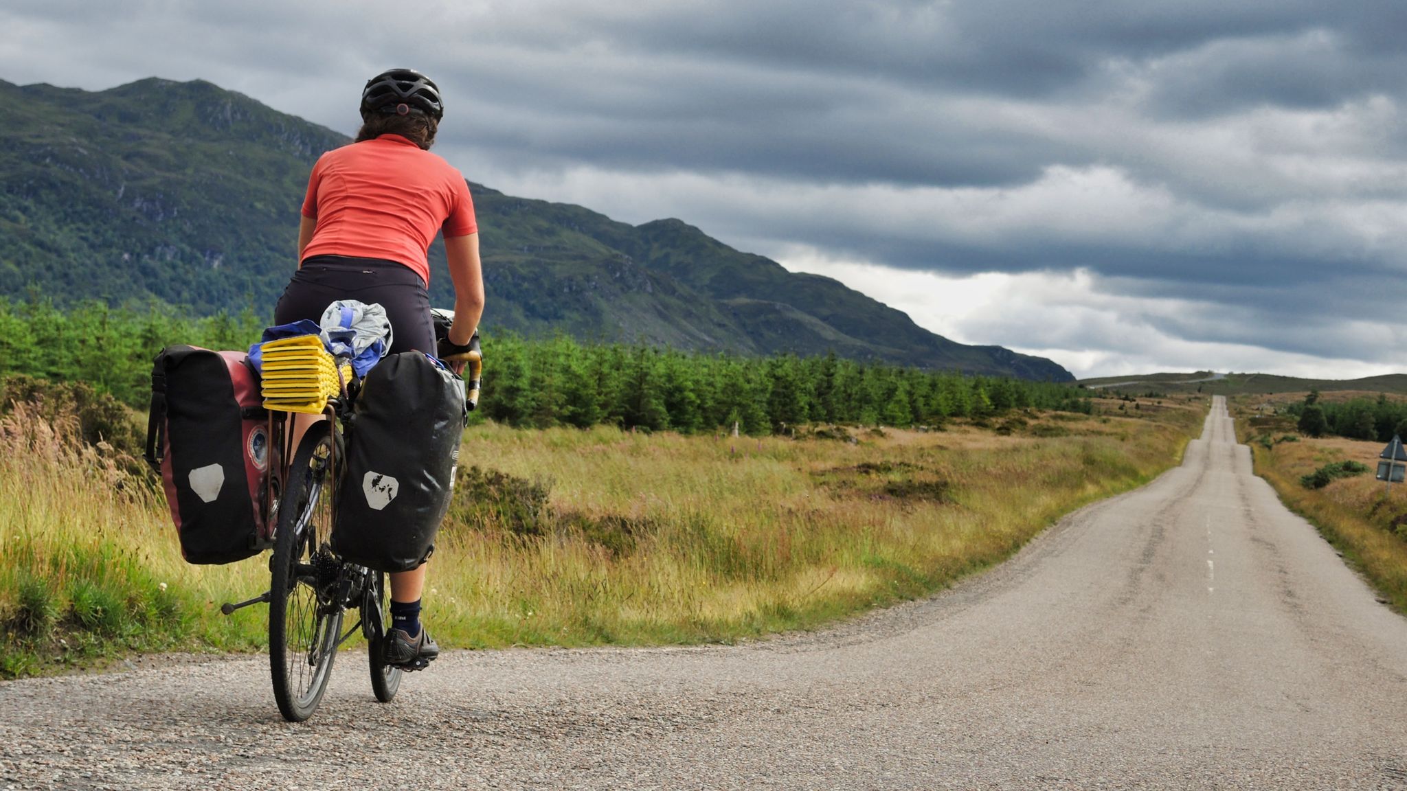
Land's End to John O'Groats – an unforgettable ride
The North Sea Coast Cycle Route part 7 — Scotland

Road Cycling Routes around Bettyhill, Strathnaver And Altnaharra

Cycling around Bettyhill, Strathnaver And Altnaharra

MTB Trails around Bettyhill, Strathnaver And Altnaharra

Running Trails around Bettyhill, Strathnaver And Altnaharra
Other adventures around Bettyhill, Strathnaver And Altnaharra


Tips from the Community

Watch out for the access to the lighthouse It is a rather remote area and you will not be able to continue directly along the path to the lighthouse. Before reaching it, you will find a house and a fence that blocks the way, so you will have to leave your bike and continue on foot along the permitted route that skirts the property. In our experience, the welcome at the house was not particularly friendly and it was quite clear that we were not welcome, so it is best to avoid any discussion and scrupulously respect private property. If you want to reach the lighthouse, leave the bike in a safe place where it does not bother and continue on foot along the public access, without crossing fences or entering private land.
0
0
At the end of a narrow road, this solitary lighthouse appears, perched on the cliffs facing the Atlantic. The final stretch is worth it for the views: open sea, rugged coastline and, with a bit of luck, **seals, dolphins and even orcas**. The curious thing is that it's not one of those Victorian lighthouses that abound in Scotland. It was built in **1958 and was the first Scottish lighthouse designed from the outset to run on electricity**. Today it is automated and the old lighthouse keeper's quarters are privately owned, but the walk to Strathy Point remains spectacular. **Here the feeling is truly one of having reached the edge of Scotland.**
0
0

In the last part of the hike, walk along the sea side of the natural stone wall to the small tarmac road.
0
0

Beautiful path to the lighthouse, quiet viewpoint with a magnificent panorama.
1
0
A few meters to walk here - but it is very beautiful and worth seeing
0
0

Great place. Warm. Excellent food.
0
0

Borgie Forest is a large area of managed forest. There are lots of trails through the woods including a short loop from the car park near Borgie village.
1
0
Frequently Asked Questions
How many hiking trails are available in Bettyhill, Strathnaver And Altnaharra?
The region offers a diverse selection of over 18 hiking trails. These routes cater to various preferences, from easy strolls to more challenging ascents, allowing you to explore the unique landscapes of coastal areas, expansive moorland, and inland lochs.
What kind of terrain can I expect on hikes in Bettyhill, Strathnaver And Altnaharra?
Hikers in Bettyhill, Strathnaver And Altnaharra will encounter a striking mix of coastal scenery, including sandy beaches and dramatic cliffs, alongside wild inland areas with open moorland and heather-clad hills. The landscape is also dotted with scenic lochs like Loch Naver and features rivers such as the River Naver carving picturesque valleys. Near Altnaharra, you can also explore the unique peatlands of the Flow Country.
Are there easy or family-friendly hiking trails in the area?
Yes, there are 11 easy hiking routes suitable for beginners or families. An excellent option is the Borgie Forest & the River Borgie loop from Borgie Bridge, an easy 1.9 km path that leads through wooded landscapes alongside the River Borgie. Another gentle coastal walk is the Strathy Point Lighthouse loop from Glas-eilean Beag.
What are some challenging hiking options for experienced hikers?
For those seeking a challenge, there are 4 difficult routes in the region. The Torrisdale Bay to Bettyhill Beach loop is a difficult 20.2 km trail with significant elevation gain and stunning coastal views. Additionally, climbing Ben Klibreck, the second-highest mountain in Sutherland, offers a rewarding and challenging ascent with panoramic vistas.
Can I find circular hiking routes in Bettyhill, Strathnaver And Altnaharra?
Yes, several routes in the area are circular, offering convenient starting and ending points. Examples include the Borgie Forest & the River Borgie loop and the Strathy Point Lighthouse loop, both providing excellent opportunities for a round trip.
What natural features or historical sites can I explore while hiking?
The region is rich in both natural beauty and historical significance. You can visit Castle Varrich, a historic ruin overlooking the Kyle of Tongue, or explore the River Naver and its picturesque valleys. The Strathnaver Trail itself is a heritage route encompassing 29 archaeological sites, including Neolithic cairns and Iron Age brochs, offering a unique blend of hiking and historical exploration.
Are there good coastal walks with scenic views?
Absolutely. Bettyhill's coastal areas are renowned for their impressive scenery. You can enjoy walks along beautiful stretches of sand like Farr Beach, Strathy Beach, and Melvich Beach. The Strathy Point Lighthouse loop is an easy walk that provides stunning coastal views of the North Sea.
What do other hikers enjoy most about hiking in Bettyhill, Strathnaver And Altnaharra?
The area is highly rated by the komoot community, with an average score of 4.4 stars from over 170 reviews. Hikers often praise the diverse landscapes, from dramatic coastlines to tranquil inland lochs and moorlands, and the sense of peace and quiet, especially around Altnaharra, where you can often have the trails largely to yourself.
Are there any trails that offer views of lochs or rivers?
Yes, the region is dotted with numerous lochs and rivers that offer beautiful views. Loch Loyal and Loch Naver are particularly scenic, with their waters reflecting the surrounding hills. The River Naver carves picturesque valleys, and routes like the River Naver – View of the Beach loop provide excellent riverside walking experiences.
What is the best time of year to go hiking in this region?
The Scottish Highlands offer hiking opportunities throughout much of the year, but the best time is generally from late spring to early autumn (May to September). During these months, you'll find longer daylight hours, milder weather, and fewer midges, making for more enjoyable conditions to explore the diverse landscapes.
Are there any trails that pass by local cafes or places to rest?
While many trails offer a sense of wilderness, some routes are conveniently located near amenities. For example, the The Store Cafe, Bettyhill – Coastal View Near Oldshoremore loop is an easy hike that passes by a local cafe in Bettyhill, providing a perfect spot for a break and refreshments.
Most popular routes around Bettyhill, Strathnaver And Altnaharra
Most popular attractions around Bettyhill, Strathnaver And Altnaharra

Get inspired with the komoot mobile app


Explore more
Browse the best Hikes in other regions.
