The best walks and hikes around Gräfenthal
4.6
(5514)
17,263
hikers
40
hikes
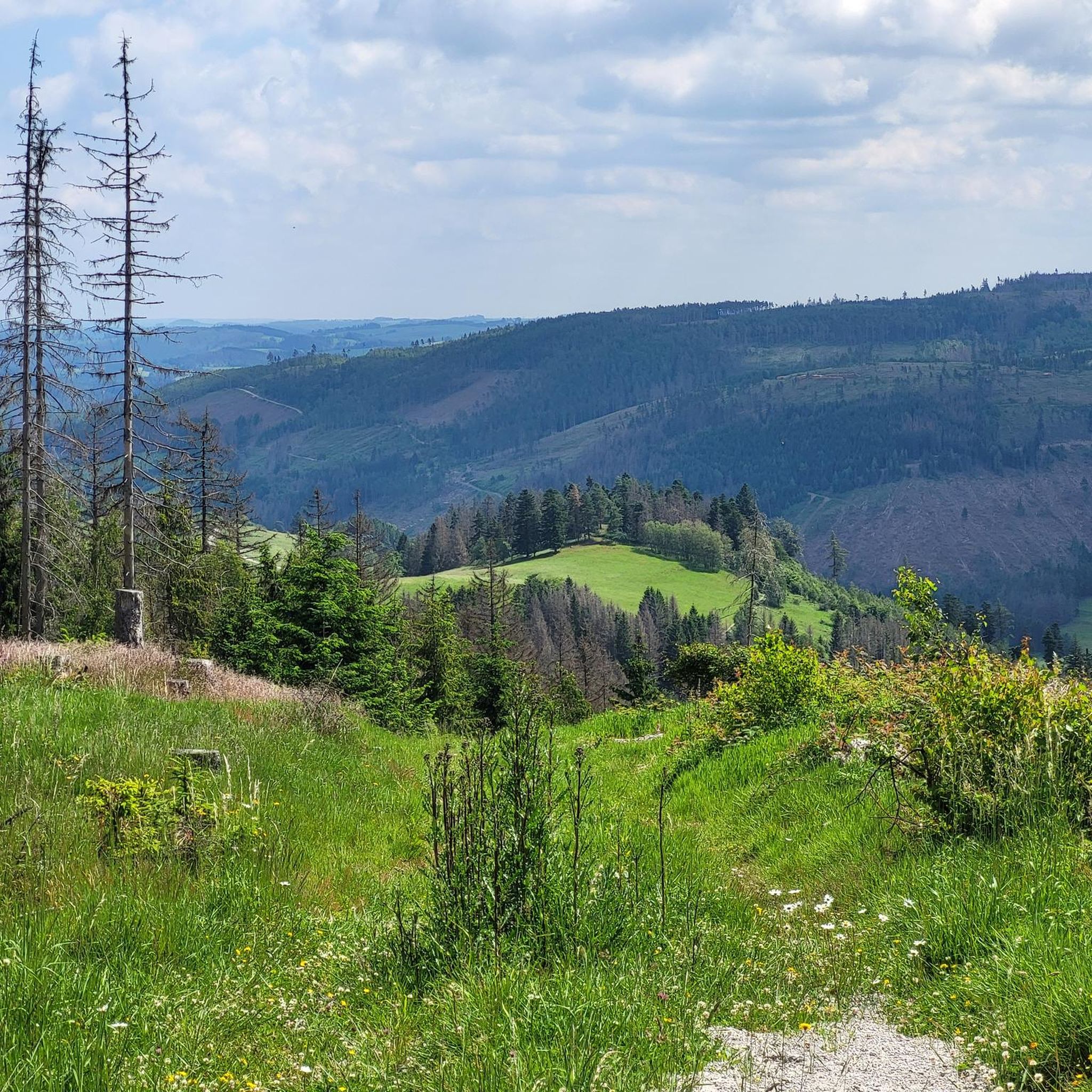
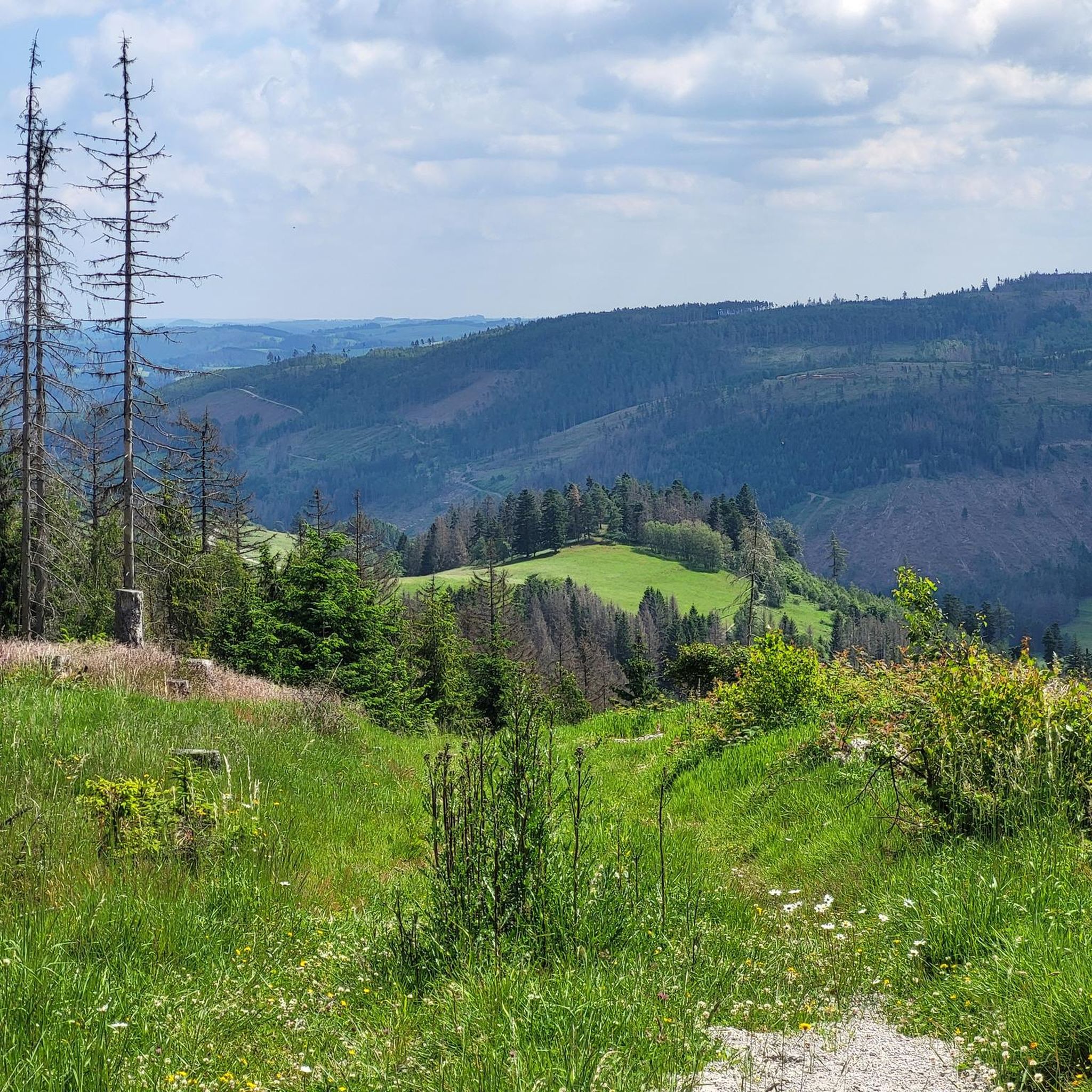
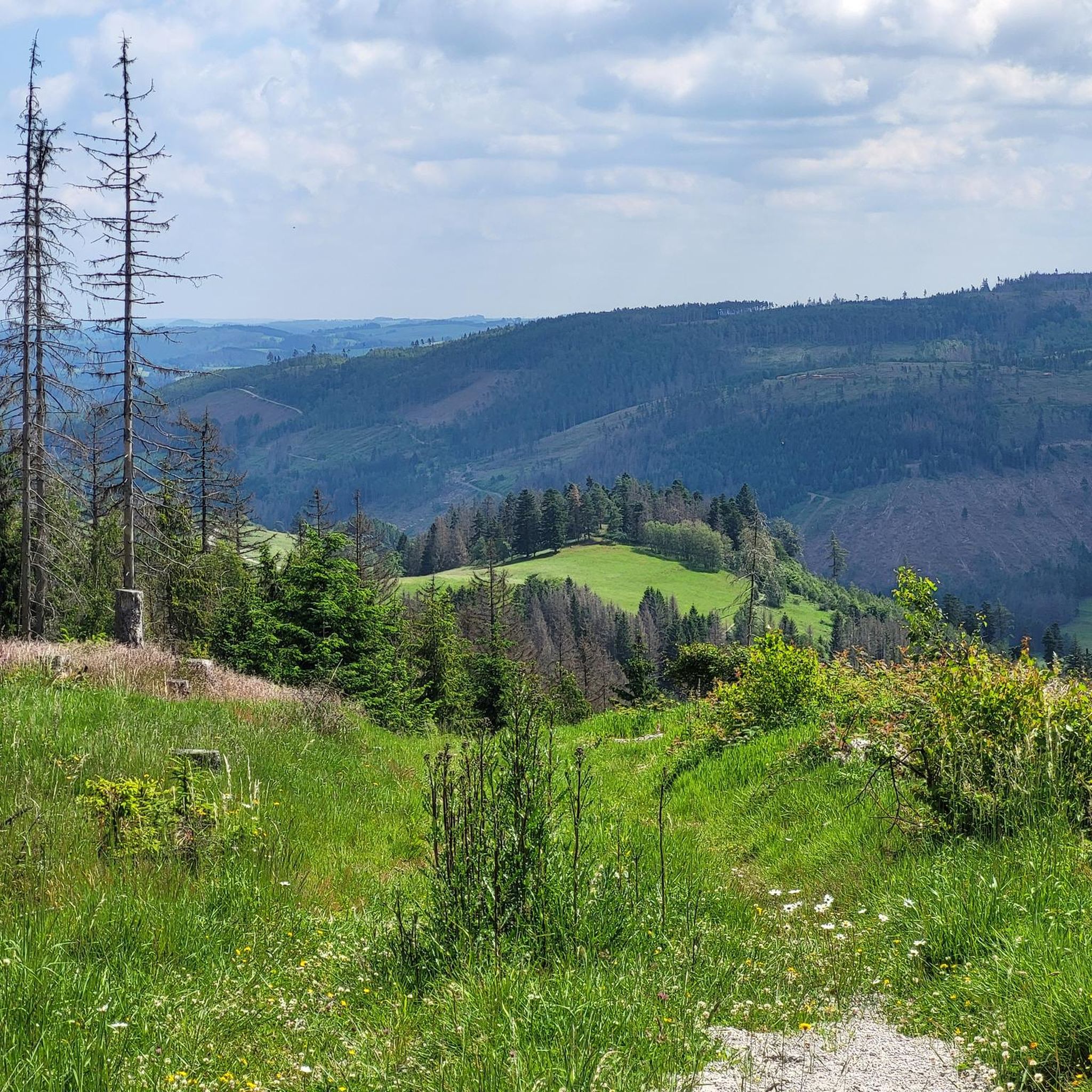
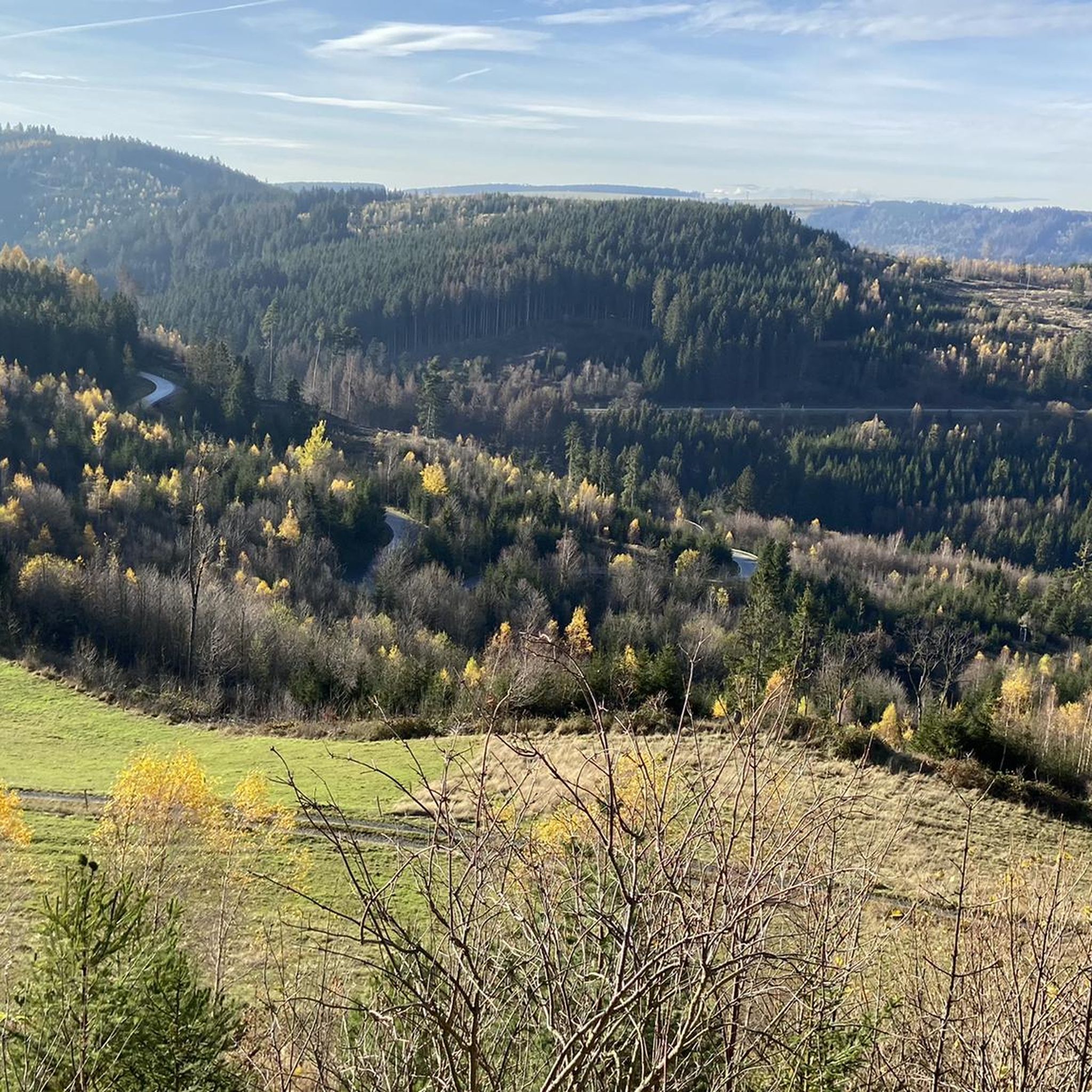
Hiking around Gräfenthal offers a diverse landscape characterized by forested hills, river valleys, and elevated viewpoints within the Thuringian Slate Mountains. The region features a network of trails that traverse varied terrain, including historical sites and natural panoramas. Elevation changes are common, providing both challenging ascents and gentler paths through woodlands and open areas.
Best hiking trails around Gräfenthal
- The most popular hiking route is Gräfenthal Town Hall – Schlossblick Viewpoint loop from Gräfenthal, a 10.1 miles (16.2 km)…
Last updated: September 27, 2026
4.9
(8)
19
hikers
21.3km
06:28
620m
620m
Hard hike. Very good fitness required. Mostly accessible paths. Sure-footedness required.
5.0
(6)
16
hikers
16.2km
04:52
450m
450m
Hard hike. Good fitness required. Sure-footedness, sturdy shoes and alpine experience required.

4.7
(10)
20
hikers
11.4km
03:17
290m
290m
Moderate hike. Good fitness required. Easily-accessible paths. Suitable for all skill levels.
5.0
(6)
15
hikers
19.0km
05:38
550m
550m
Hard hike. Very good fitness required. Easily-accessible paths. Suitable for all skill levels.
5.0
(2)
12
hikers
8.23km
02:24
210m
210m
Moderate hike. Good fitness required. Easily-accessible paths. Suitable for all skill levels.
Get access to more routes and recommendations from other explorers.
Already have an account?
Our route recommendations are based on thousands of hikes, rides, and runs completed by other people on komoot.
Start today with a free account
Your next adventure awaits.

Tips from the Community

A beautiful place to linger ... pure nature
0
0

A beautifully carved hiking boot and the wooden Rennsteig "R" invite you to rest on this bench.
7
0
Spechtsbrunn in the Thuringian Slate Mountains is one of the oldest places in the Rennsteig region. The village was first mentioned in a document in 1414. The place name is not attributable to a woodpecker, but to a "Specke", a log causeway, which was used to make a marshy spot passable.
12
0

Spechtsbrunn, a district of Sonneberg, was established around the year 1300. The place name can be traced back to a swampy and marshy spot. This had been made passable with bundles of reeds (a "Specke") and a log path. The first documented mention dates from the year 141. At that time, the place belonged to the dominion of the Counts of Orlamünde. However, as early as 1438, the imperial hereditary marshals of Pappenheim were enfeoffed with the noble dominion of Gräfenthal. The place is located on the old military and trade route. In the Middle Ages, the inhabitants had special rights, but also duties, to ensure "smooth traffic" on the road. They had the privilege of hanging robbers without a court judgment or granting them asylum. Military service only had to be performed to the extent that the men could return home in the evening. In return, they had to ensure order on the trade route and provide towing services. This explains the high number of oxen that were always kept in Spechtsbrunn. The connection to the military and trade route led to the rapid development of Spechtsbrunn.
9
0

This grave is located on the Thuringian-Bavarian border at the turnoff to Gräfenthal.
1
0
The Inner German border ran directly alongside or through the house.
1
0

View of the viaduct 👍
1
1

Frequently Asked Questions
How many hiking trails are available in Gräfenthal?
Gräfenthal offers a network of over 40 hiking trails, catering to various preferences and fitness levels. These routes explore the diverse landscape of the Thuringian Slate Mountains.
What is the general difficulty level of hiking trails in Gräfenthal?
The trails in Gräfenthal range from easy to difficult. You'll find approximately 11 easy routes, 22 moderate routes, and 8 more challenging options, ensuring there's something for every hiker.
Are there circular hiking routes in Gräfenthal?
Yes, many of the hiking routes in Gräfenthal are circular, allowing you to start and end at the same point. For example, the Gräfenthal Town Hall – Gräfenthal Railway Viaduct loop is a moderate 8.4 km option.
When is the best time of year to go hiking in Gräfenthal?
The best time for hiking in Gräfenthal is typically from spring through autumn (April to October), when the weather is mild and the natural scenery is at its most vibrant. The forested hills offer pleasant shade during warmer months.
Are there options for winter hiking in Gräfenthal?
While Gräfenthal is beautiful in winter, some trails may be challenging due to snow and ice. Shorter, well-maintained paths are generally more suitable for winter walks. Always check local conditions before heading out.
Are there family-friendly hiking trails in Gräfenthal?
Yes, Gräfenthal has several easy and moderate trails suitable for families. These often feature gentler inclines and interesting points along the way. Look for routes under 10 km with lower elevation gains for a more relaxed family outing.
Are dogs allowed on the hiking trails in Gräfenthal?
Generally, dogs are welcome on hiking trails in Gräfenthal, especially in the natural areas of the Thuringian Slate Mountains. However, it's always recommended to keep them on a leash, particularly near wildlife or livestock, and to clean up after them.
What kind of scenic viewpoints can I expect on hikes in Gräfenthal?
Gräfenthal's hikes often lead to stunning viewpoints overlooking the forested valleys and the Thuringian Slate Mountains. Highlights include the Meuselbacher Kuppe Observation Tower and the Schneiderfelsen, offering panoramic vistas.
Are there any historical landmarks or natural monuments to see along the trails?
Absolutely. The region is rich in history and natural beauty. You can explore sites like the Lehesten Slate Quarry Industrial Heritage Site or discover unique geological formations such as the Meurasteine Rock Formation.
Are there any challenging long-distance hiking options in Gräfenthal?
For experienced hikers seeking a challenge, Gräfenthal offers longer and more demanding routes. The Teufelskanzel Viewpoint – Schlossblick Viewpoint loop from Spechtsbrunn is a difficult 18.9 km trail with significant elevation changes, providing a rewarding long-distance experience.
What do other hikers enjoy the most about hiking in Gräfenthal?
The komoot community highly rates hiking in Gräfenthal, with an average score of 4.6 stars from over 1,900 reviews. Hikers often praise the diverse forested landscapes, the well-maintained paths, and the rewarding views from various viewpoints.
Is public transport available to access hiking trails in Gräfenthal?
Public transport options to Gräfenthal and surrounding areas are available, primarily by bus. It's advisable to check local bus schedules in advance, as services might be less frequent, especially on weekends or to more remote trailheads.
Where can I find parking for hiking trails in Gräfenthal?
Parking is generally available at central locations in Gräfenthal and at designated trailheads throughout the region. Many routes, especially circular ones, start from areas with convenient parking facilities.
Most popular routes around Gräfenthal
Most popular attractions around Gräfenthal

Get inspired with the komoot mobile app


Explore more
Browse the best Hikes in other regions.
